About Great Egg Harbor River
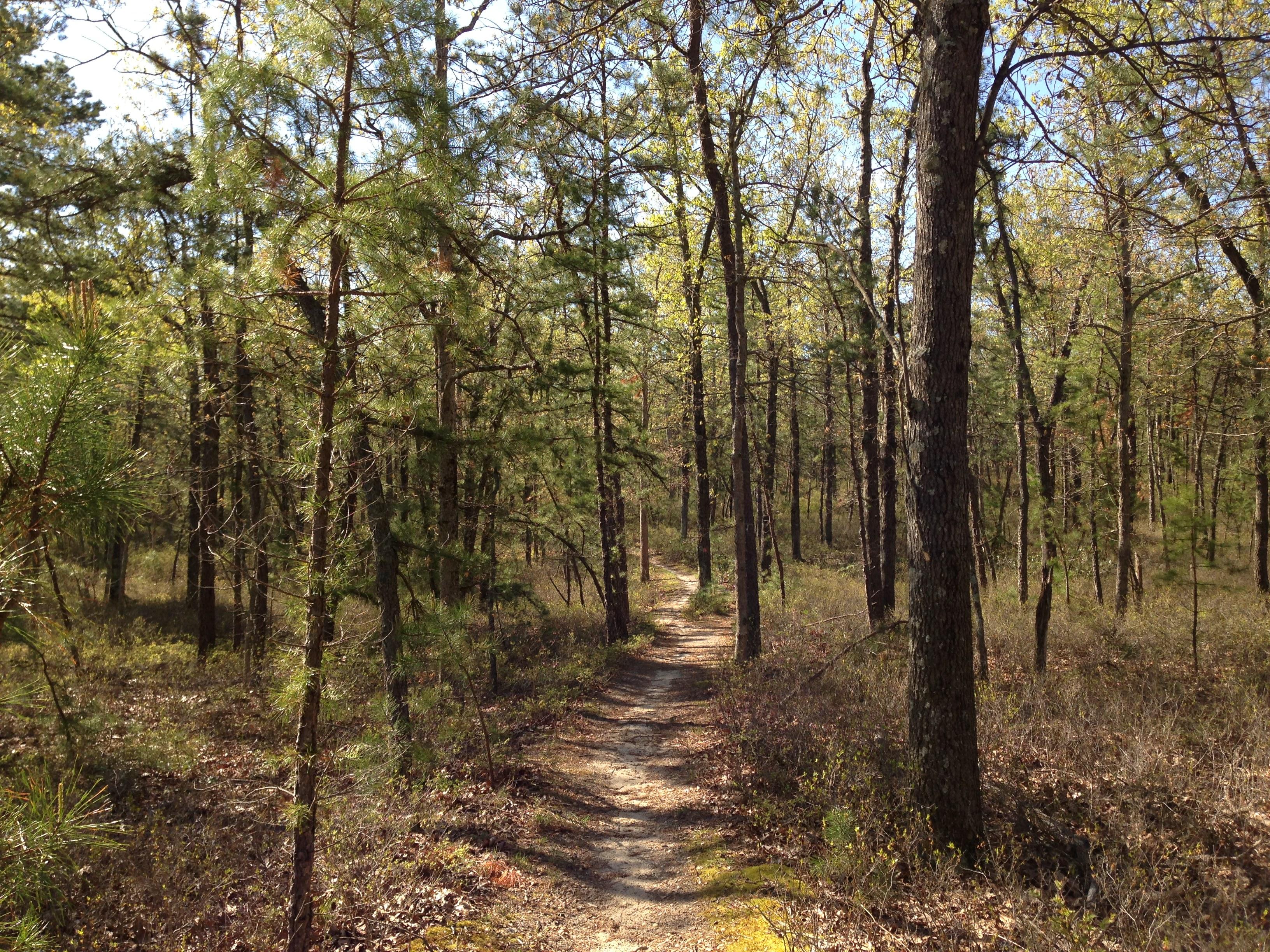
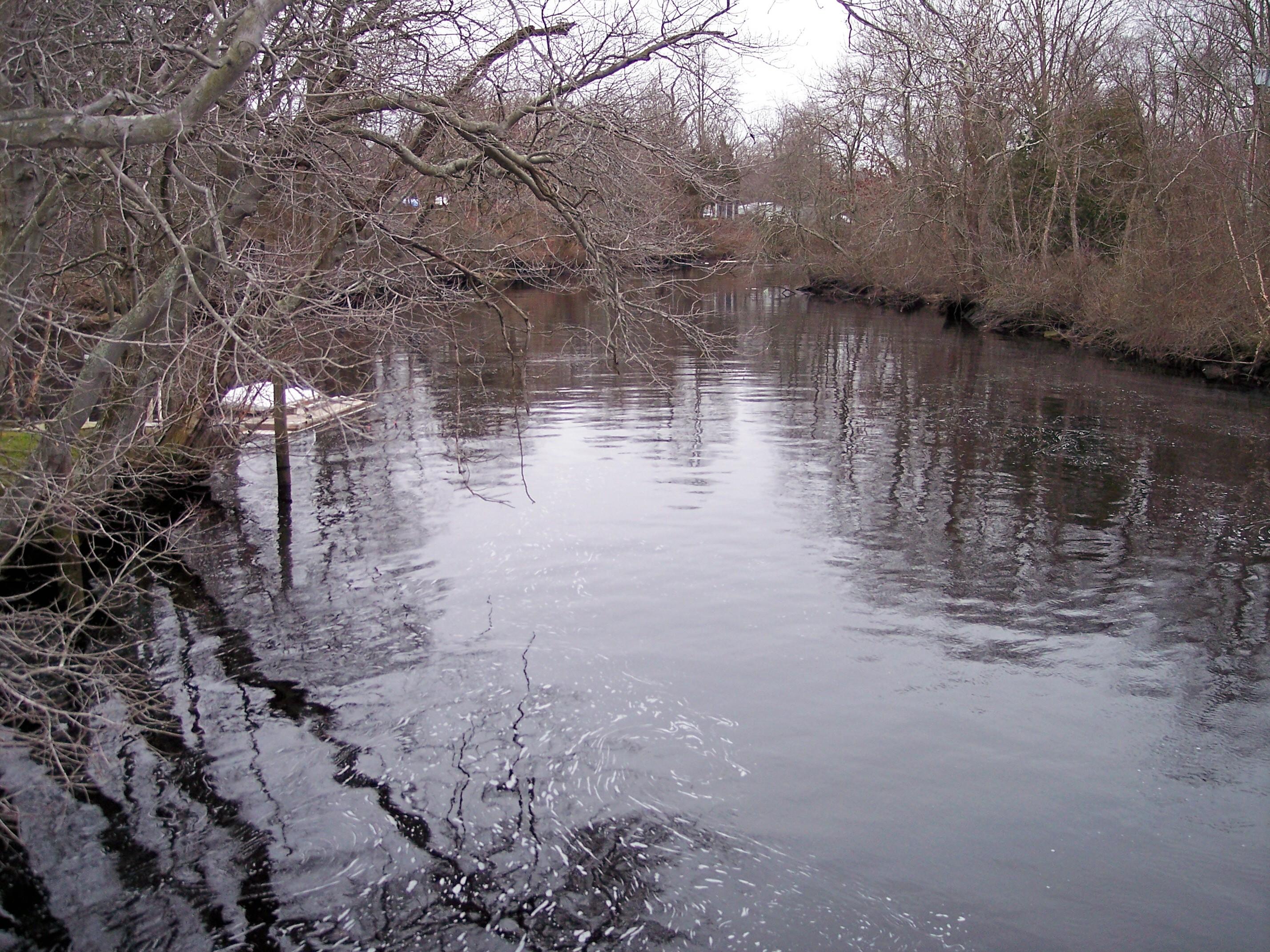
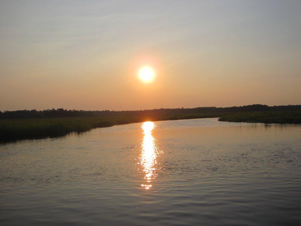
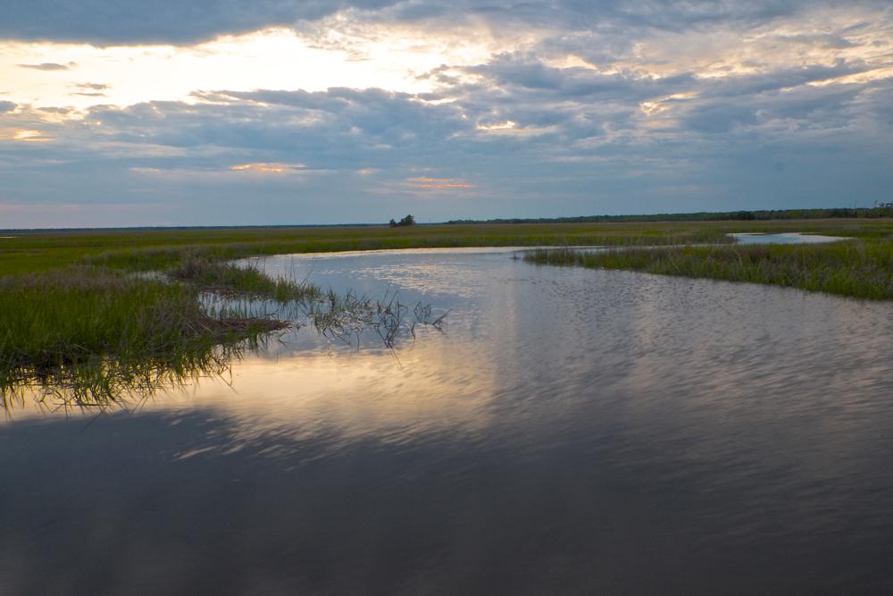
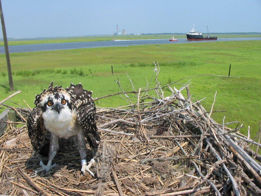
Both the harbor and river were named for the shorebird and waterfowl eggs covering their meadows. During the American Revolution, privateers hid here. Established as a National Park Service site in 1992, Great Egg Harbor National Wild and Scenic River is one of nation's best birding spots. Local jurisdictions administer its lands. The 129-mile river system flows through Pinelands National Reserve.
Plan a Visit
Core visitor information on this page is sourced from the National Park Service. NPD proximity sections use NPS reference coordinates and straight-line distance. Local source bundle updated Sep 27, 2026. View the official NPS page.
Weather & Conditions
Temperate, with a moderating influence of the Atlantic Ocean. NOAA Weather Seven-Day Forecast for Mays Landing, New Jersey: https://forecast.weather.gov/MapClick.php?lat=39.4521478&lon=-74.7275318 Tide information for Mays Landing, Great Egg Harbor River, New Jersey: https://www.usharbors.com/harbor/new-jersey/mays-landing-great-egg-harbor-river-nj/tides/
NPS Reference Location
Park state / territory membership: New Jersey. This map uses the National Park Service reference coordinate. It may represent an administrative or reference point rather than a park entrance, trailhead, visitor center, or the nearest access point. Use the official NPS directions below when planning travel.
Operating Hours
The Great Egg Harbor River is a 55.0-mile-long (88.5 km) river in southern New Jersey in the United States. It is one of the major rivers that traverse the largely pristine Pinelands, draining 308 square miles (800 km2) of wetlands into the Atlantic Ocean at Great Egg Harbor, from which it takes its name. At river location in Estell Manor Park - please check (609) 625-1897 for hours.
Activities
Getting There
Estell Manor Park, where visitors can see the Great Egg Harbor National Scenic and Recreational River, is located 3.5 miles South of Mays Landing, New Jersey, off of Route 50. It is approximately 17 miles west of Atlantic City. There is a stamper for Passport Stamp Books at the Fox Nature Center, and a stamp can be obtained at the mailing address provided below.
View Official DirectionsContact & Address
The NPS-listed address may be an administrative office, visitor center, mailing/contact location, or other park facility rather than a park entrance.
Topics & Themes
Nearby National Park Service Sites
These sites are ordered by straight-line distance between NPS reference coordinates. This is useful for comparison, but it is not road mileage. Trails, parkways, rivers, and distributed units may extend far from their reference point.