


About Great Basin National Park
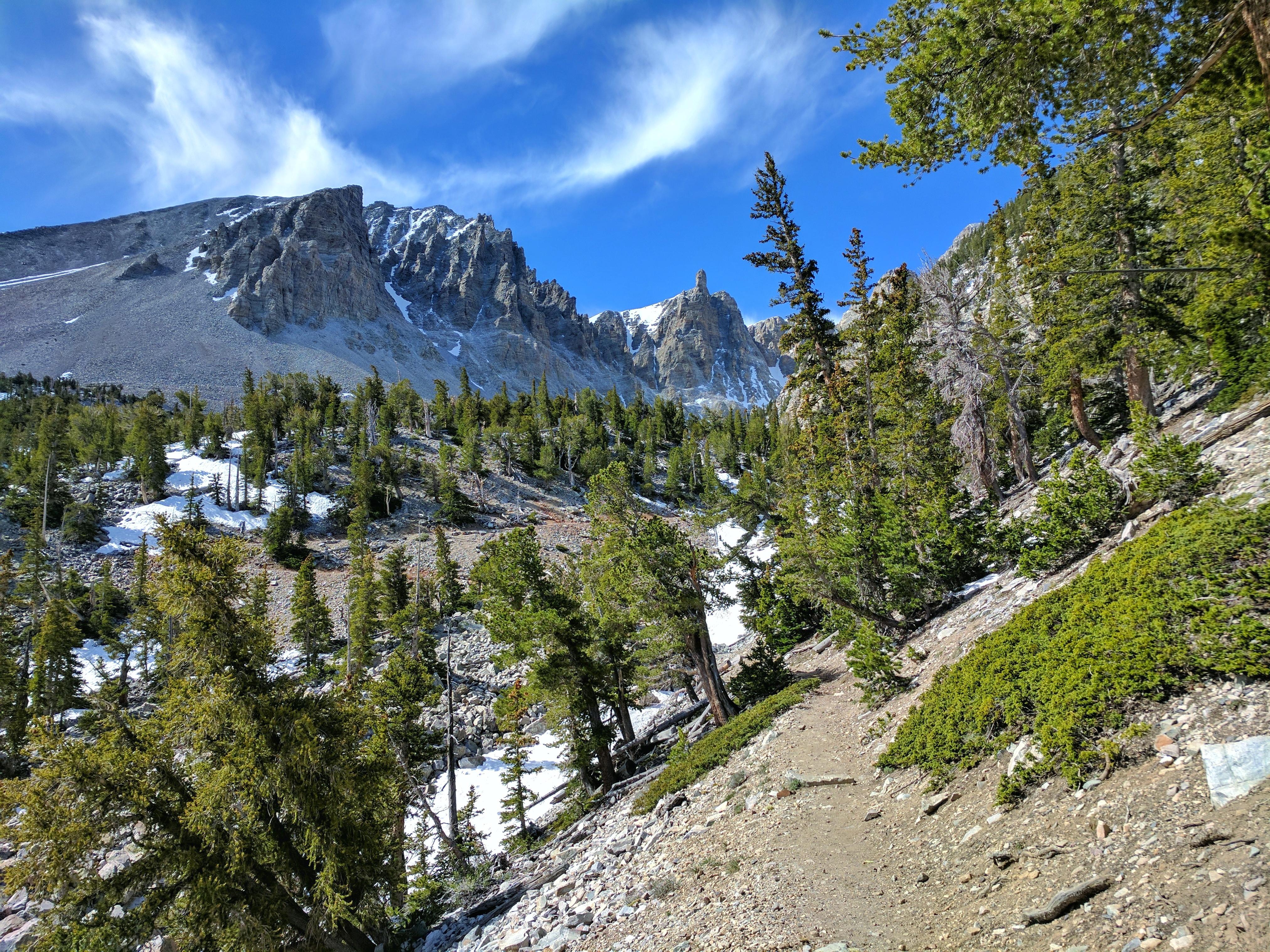
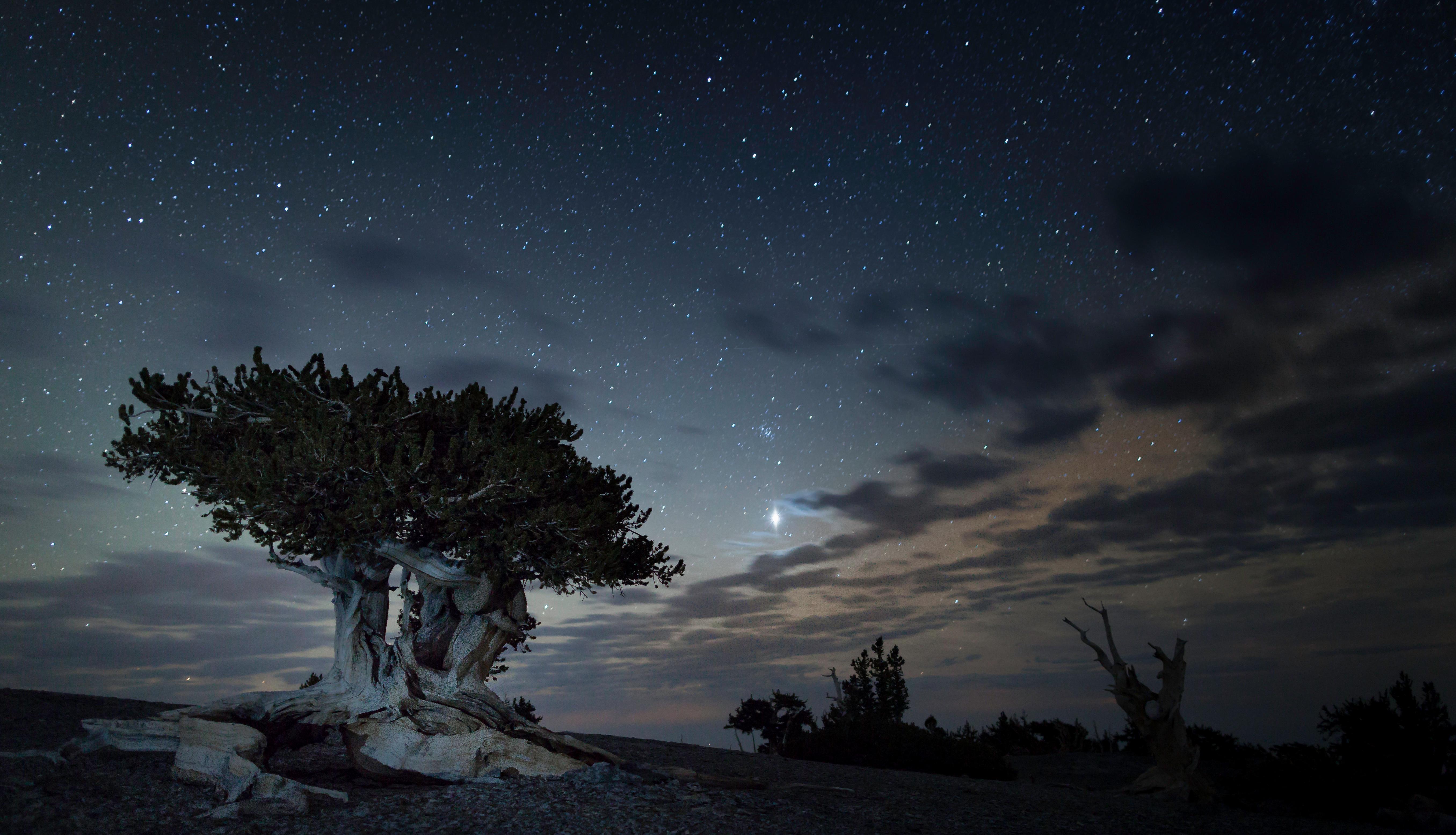
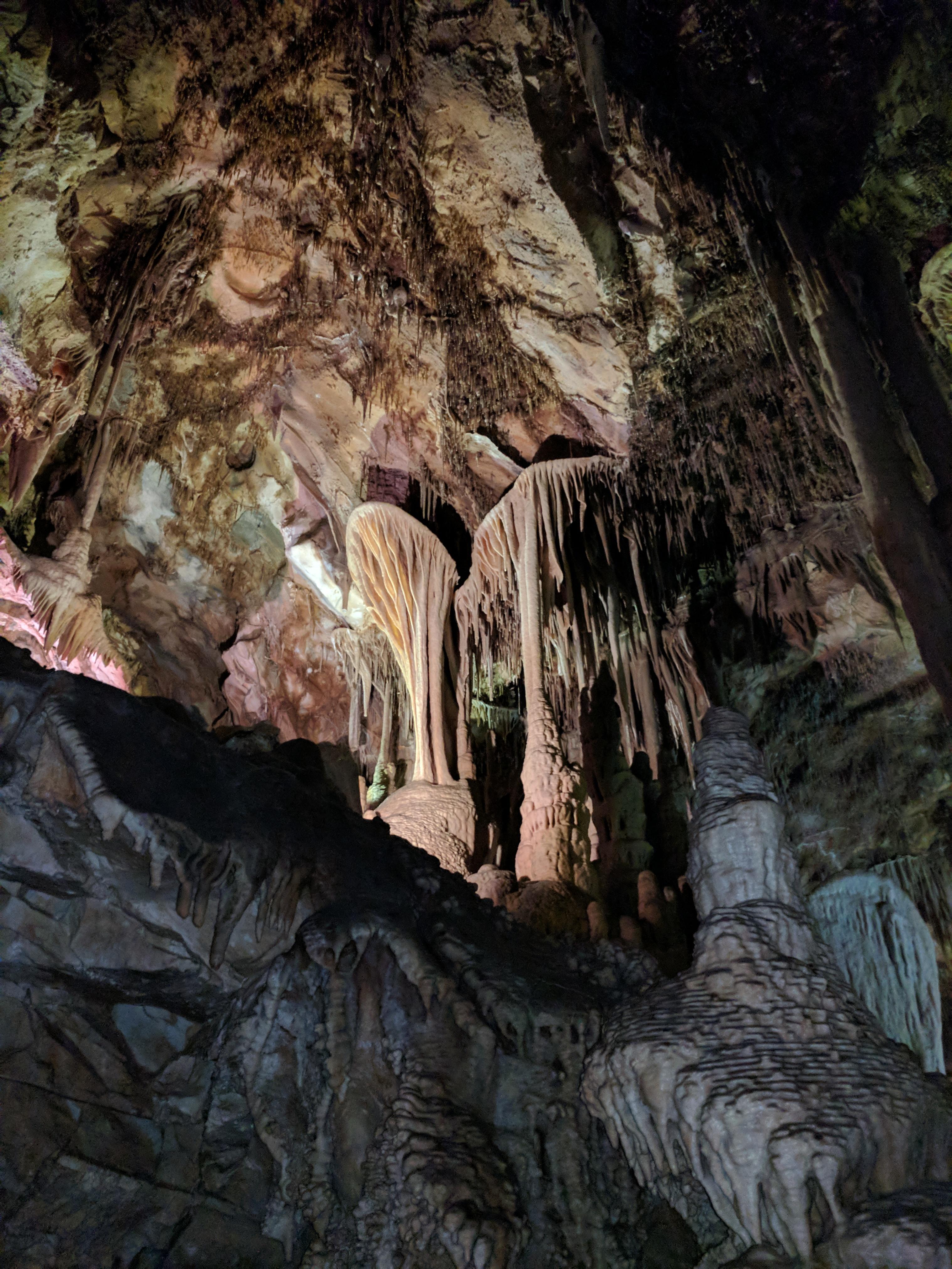
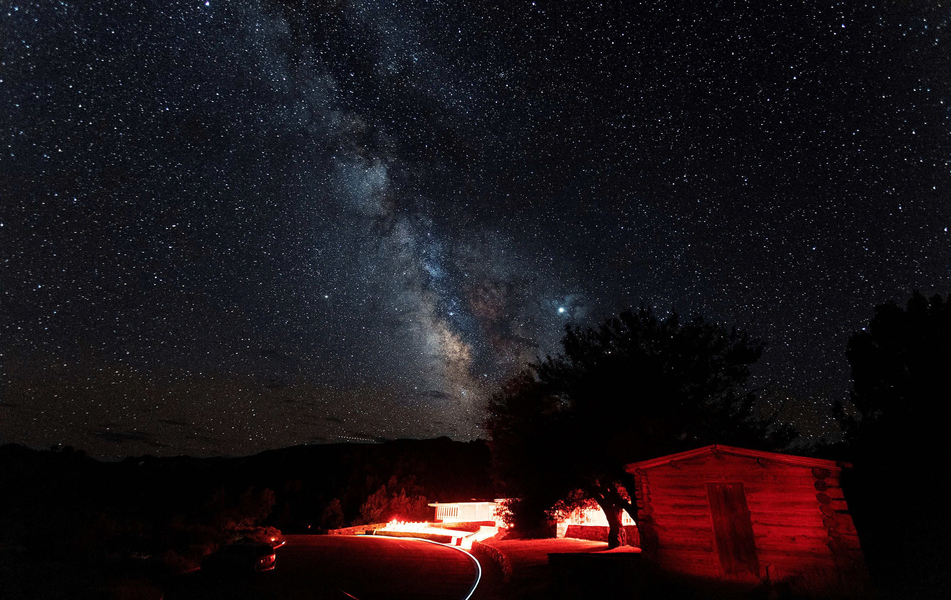
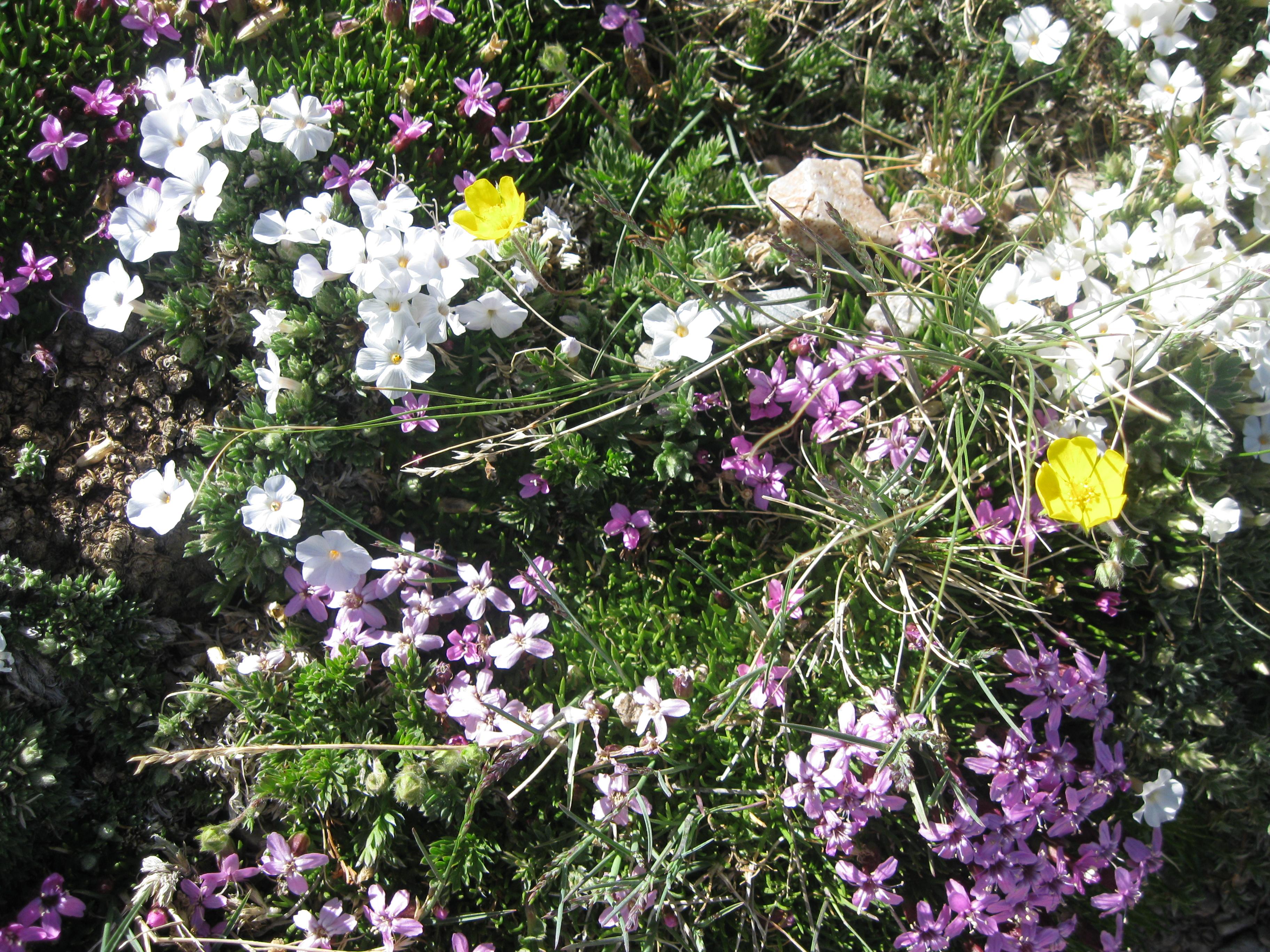
From the 13,063-foot summit of Wheeler Peak to the sagebrush-covered foothills, Great Basin National Park hosts a sample of the incredible diversity of the larger Great Basin region. Come and partake of the solitude of the wilderness, walk among ancient bristlecone pines, bask in the darkest of night skies, and explore mysterious subterranean passages. There's a lot more than just desert here.
Plan a Visit
Core visitor information on this page is sourced from the National Park Service. NPD proximity sections use NPS reference coordinates and straight-line distance. Local source bundle updated Sep 27, 2026. View the official NPS page.
Weather & Conditions
There is almost an 8,000 ft (2,400 m) difference in elevation between Wheeler Peak and the valley floor. Weather conditions in the park vary with elevation. In late spring and early summer, days in the valley may be hot, yet the snow pack may not have melted in the higher…
NPS Reference Location
Park state / territory membership: Nevada. This map uses the National Park Service reference coordinate. It may represent an administrative or reference point rather than a park entrance, trailhead, visitor center, or the nearest access point. Use the official NPS directions below when planning travel.
Operating Hours
Park Grounds and Trails Check "Visitor Centers" tab for facility-specific hours
Activities
Current Alerts
There currently is no water available in any campground in Great Basin National Park. Water is available at the RV Fill and Dump Station, the Great Basin, and the Lehman Caves Visitor Center as well as some local businesses.
Getting There
From the East or West: From U.S. Highway 6 & 50, turn south on Nevada State Highway 487 and travel 5 miles to Baker, NV. In Baker turn west on Highway 488 and travel 5 miles to the park. From the South (Utah): Travel north on Utah State Highway 21 through Milford, UT and Garrison, UT, Highway 487. Turn west on Highway 488 in Baker and travel 5 miles to the park. From the South (Nevada): Travel north on U.S. Highway 93. No public transportation is available to, or in, Great Basin National Park.
View Official DirectionsContact & Address
The NPS-listed address may be an administrative office, visitor center, mailing/contact location, or other park facility rather than a park entrance.
Topics & Themes
Things To Do

Lehman Caves Tour
Lehman Caves Tours
Hike the Baker Creek Loop
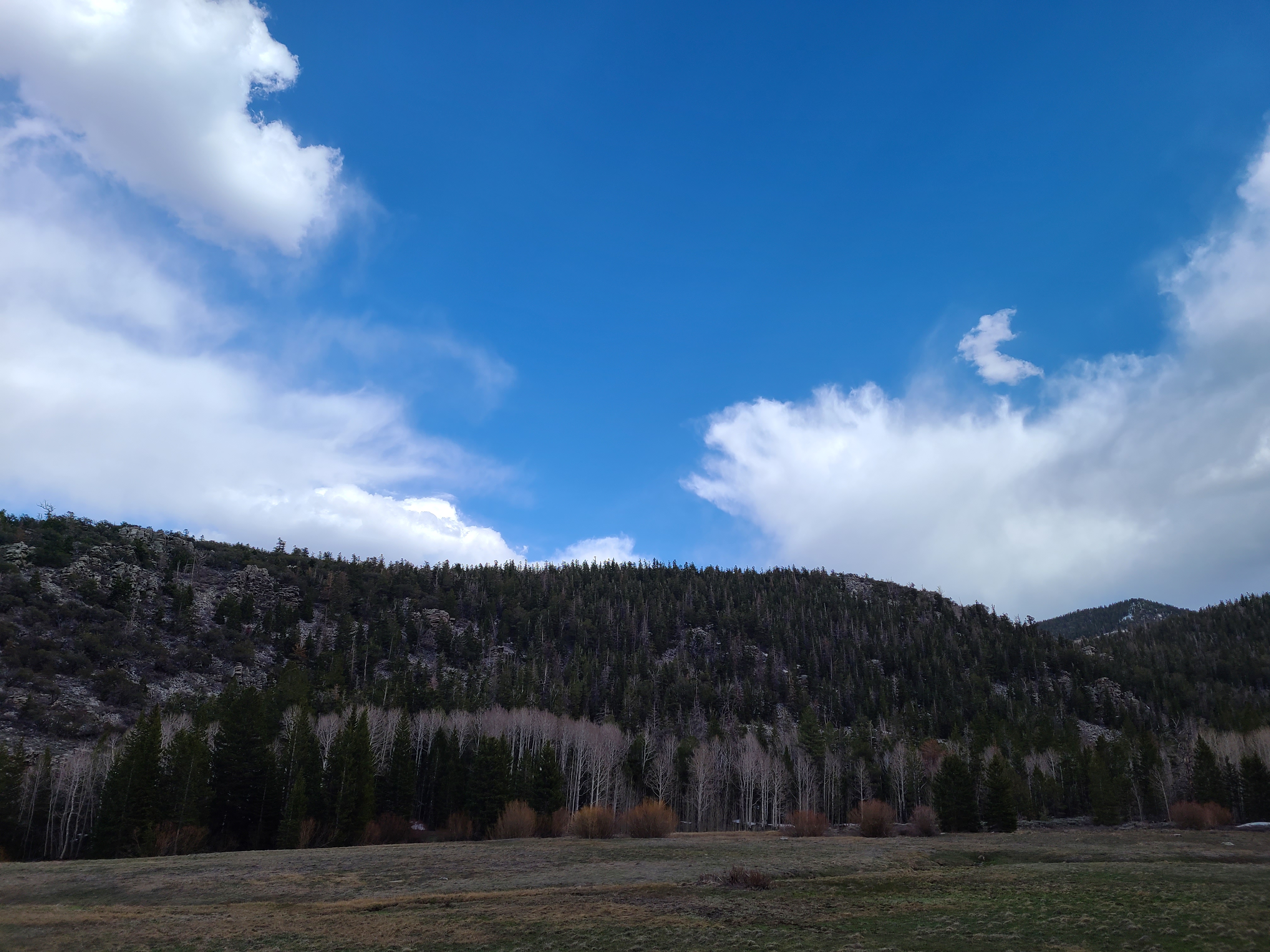
An upper easy/low moderate hike, Baker Creek is often accessible or semi-accessible year round, making a viable alternative when roads…
Hike to the Wheeler Peak Bristlecone Grove
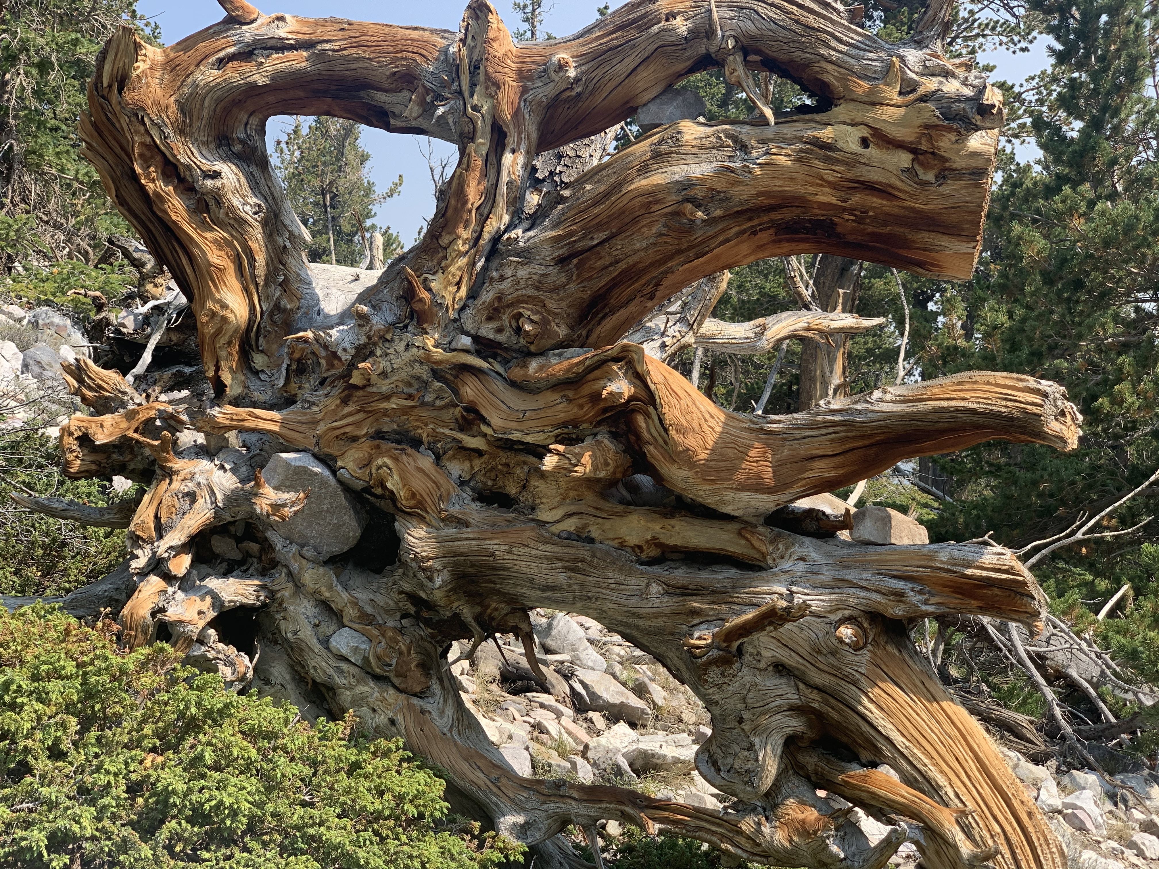
The Bristlecone Trail is not to be missed on a visit to the park. This 2.8-mile round-trip hike takes visitors…

Become a Great Basin National Park Junior Ranger
Great Basin Junior Ranger
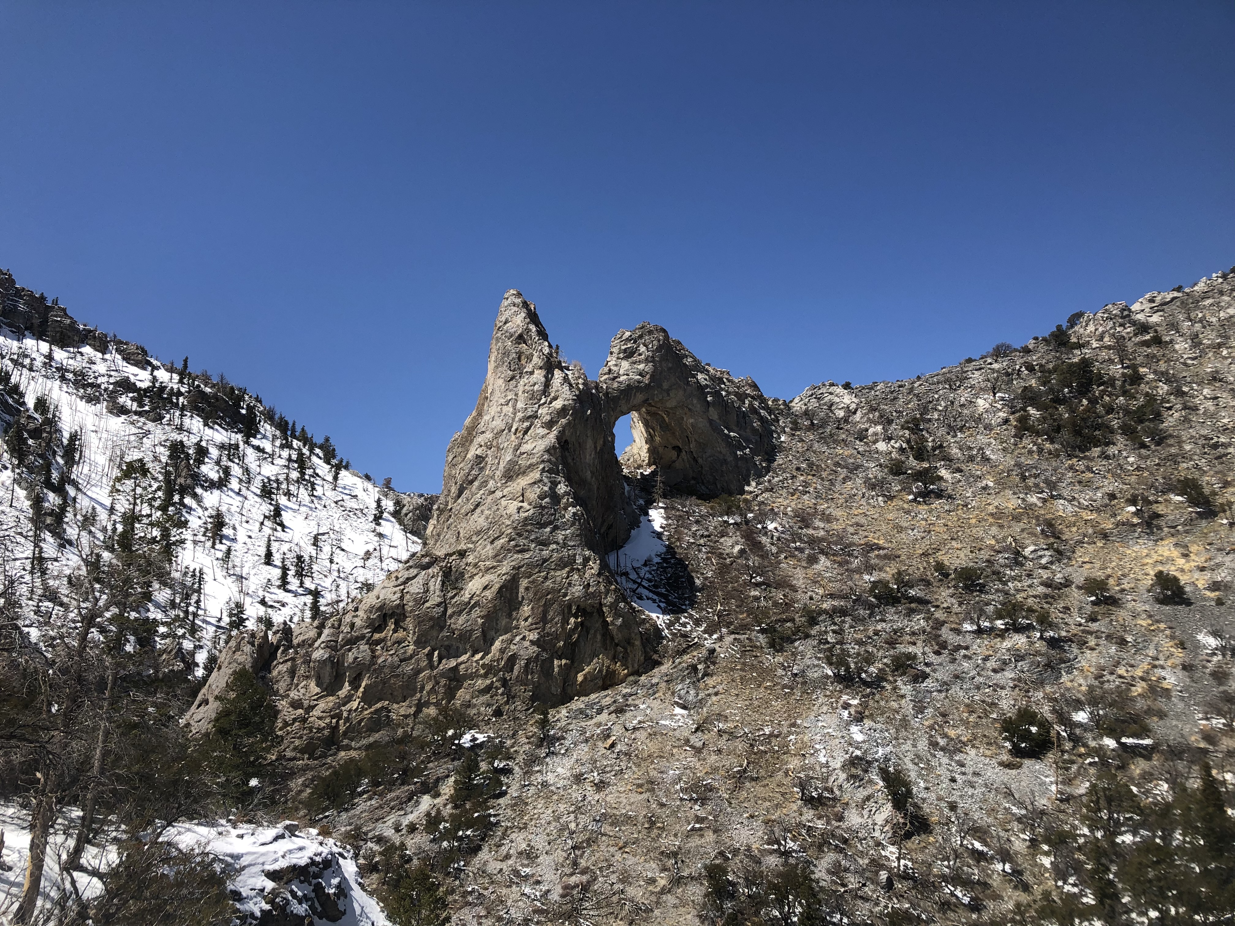
Hike to Lexington Arch
Hike 5.6 miles through shrubland to see one of the largest limestone arches in the world. Find plenty of peace…
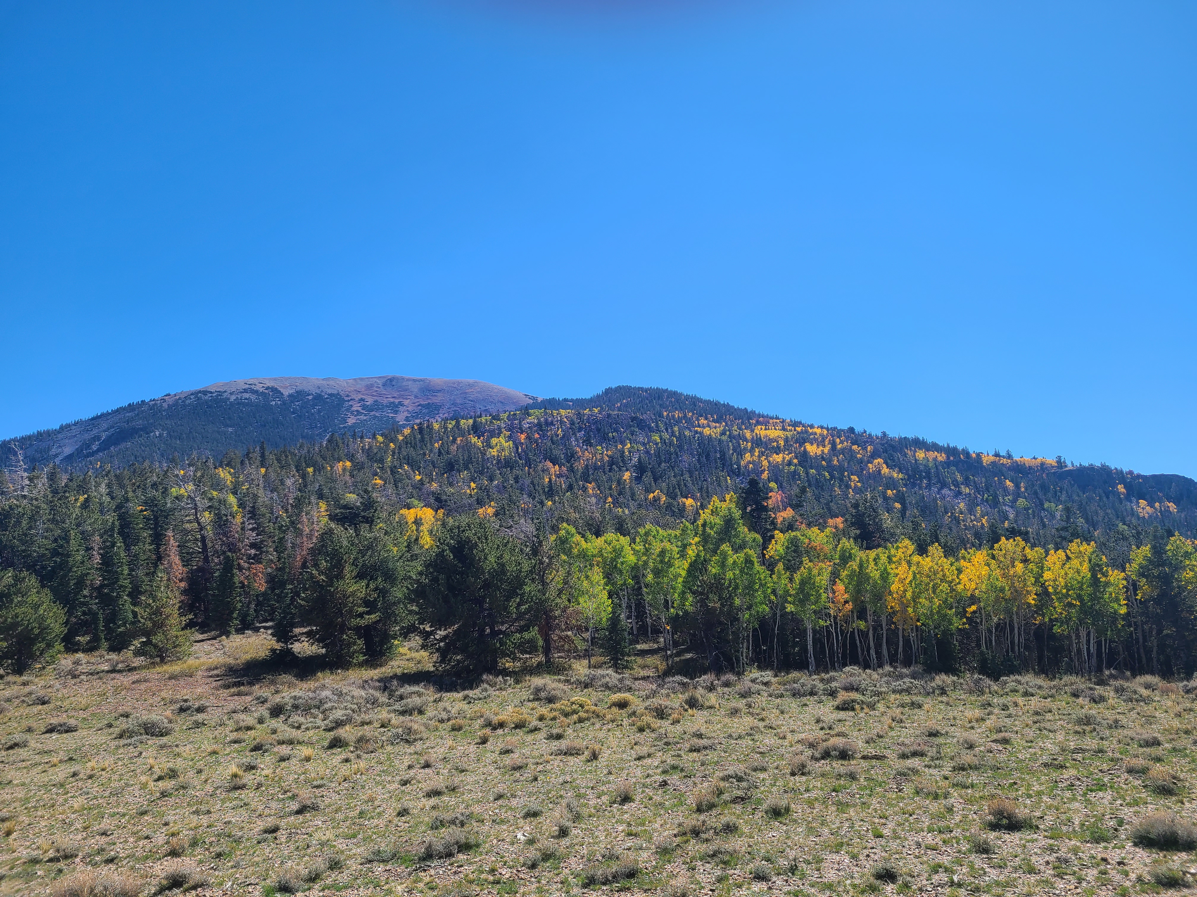
Hike the Upper Strawberry Trail
The meadows of the Sage Steppe Loop combined with moderate difficulty ascending to a mountain saddle, the Upper Strawberry trail's…
More Things to Do
Additional activities and experiences from the National Park Service.
Hike the Sage Steppe Loop
Wildlife, wildflowers, escapes from the heat, and an easy trail to boot. The Sage Steppe Loop is both a wonderful introduction to…
Hike the Serviceberry Trail
The 3.2 mile Serviceberry Loop is a wonderful loop trail through serviceberry, rabbitbrush, and sagebrush, giving plentiful views of unique Great Basin…
Hike the Big Wash Trail
Big Wash is perhaps the most difficult and least travelled trail in the park. be prepared for a long 20.6 mile journey…
Hike to Johnson Lake from Snake Creek
Hike to the backcountry and isolated Johnson Lake. 8.0 miles round trip rewards visitors with a chance for isolation and exercise. This…
Hike to Snake Creek Overlook
The Snake Creek Overlook trail is a nice, short trail that will work one's legs with a stretch of elevation gain. This…
Hike the Shoshone ADA Trail
The Shoshone ADA trail is a small section of one of Great Basin's longer hiking routes. This 0.1 mile stretch takes visitors…
Hike the Snake Divide Route
Hike one of the more challenging and rewarding trails inside Great Basin National Park. This over 13 mile hike leads to the…
Hike to Dead Lake
Hike the 5.1 mile Dead Lake Loop to see an ephemeral lake and gorgeous wildflowers and fall colors. Every time of year,…
Hike to Baker Lake
The hike to Baker Lake is a 10 mile round trip through pine forests and along a mountain stream. Baker Lake is one of…
Hike the Timber Creek Trail
An extended loop through the Baker Creek area, Timber Creek offers more meadows, woodland, and creeks. This 5.1 mile loop is surely…
Hike to Johnson Lake from Baker Creek
Johnson Lake may be reached from either Baker Creek or Snake Creek. This trail offers a path to a pristine mountain lake…
Backpack the Baker & Johnson Lakes Loop
The most popular backcountry route in the park, the Baker & Johnson Lakes Loop frequently sees campers, but still nothing compared to…
Showing 18 of 34 NPS Things to Do records available for Great Basin National Park.
Visitor Centers
Lehman Caves Visitor Center
Phone: (775) 234-7510 Lehman Caves Visitor Center is located 5.5 miles up from the town of Baker, NV. At this visitor center visitors can plan…
Great Basin Visitor Center
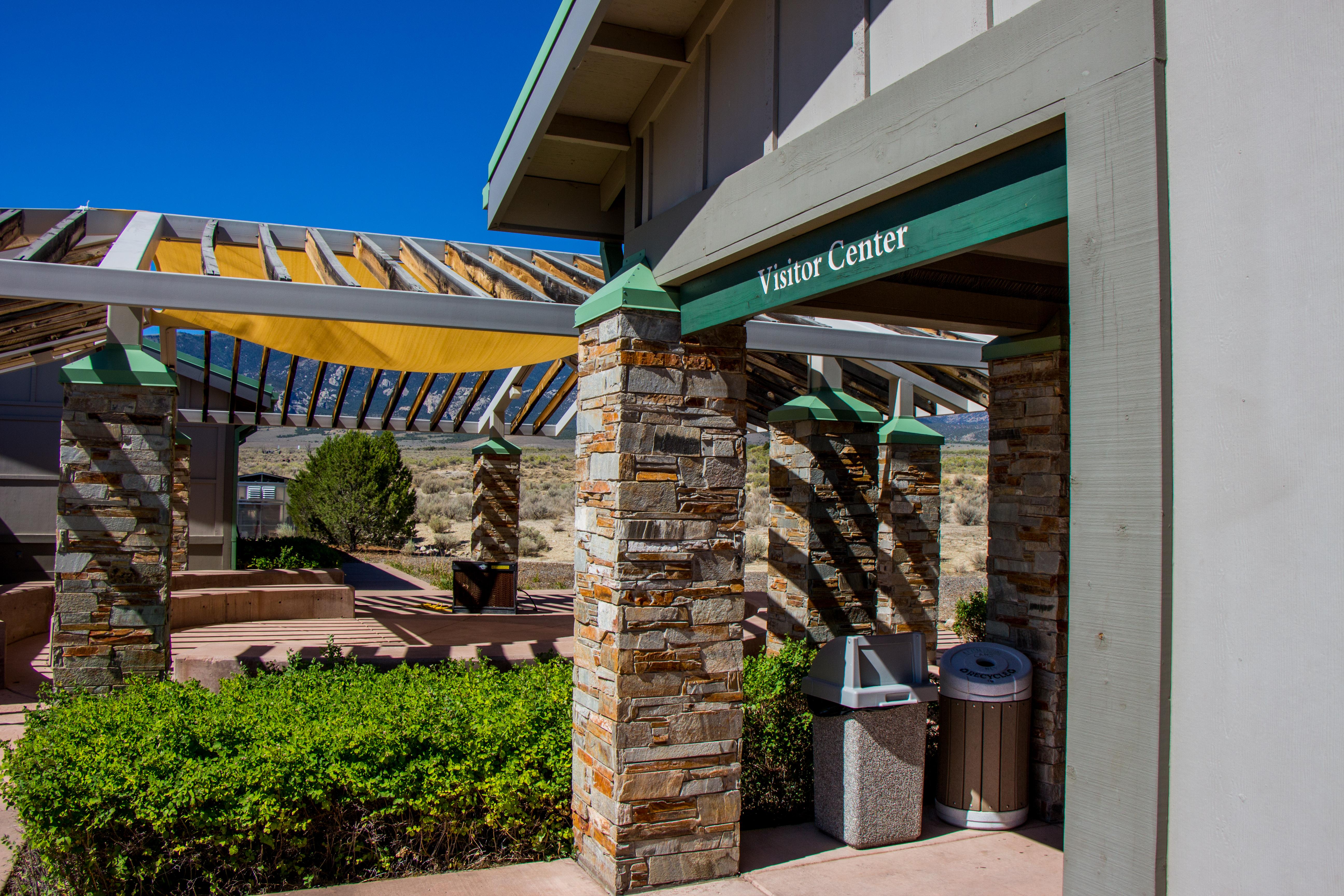
Phone: (775) 234-7520 Located just north of the town of Baker on the west side of NV Highway 487. The Visitor Center contains an information…
Campgrounds
Lower Lehman Creek Campground
Among the lush green vegetation which hugs Lehman Creek, you'll secure your tent or park your RV within earshot of clear mountain water which has…
Upper Lehman Creek Campground
Whether you prefer the rich smell of summer mahogany riding air currents blended with the vanilla of ponderosa pine, or the sound of a clear…
Wheeler Peak Campground
Located at 9,886 feet above sea level, Wheeler Peak Campground is the highest-elevation campground in the entire National Park System. Nestled in aspen groves in…
Baker Creek Campground
Baker Creek Campground contains 37 campsites. All sites are available, when the campground is open (seasons permitting), via reservation on Recreation.gov. Potable water is not…
Grey Cliffs Campground
For visitors to Great Basin National Park, Grey Cliffs Campground is an ideal place to setup and start exploring. Experience the solitude of the desert,…
Snake Creek Primitive Campgrounds
Make yourself at home in the Snake Creek Campsites along the Snake Creek River, located on the south-eastern side of the park. These sites are…
Dump Station
No overnight camping allowed. Dump Station is for dumping garbage and RV sewage.
Nearby National Park Service Sites
These sites are ordered by straight-line distance between NPS reference coordinates. This is useful for comparison, but it is not road mileage. Trails, parkways, rivers, and distributed units may extend far from their reference point.
Nearby Cities for Trip Planning
These cities are ordered by straight-line distance from the NPS reference coordinate. They are comparison starting points, not official park gateways or road-distance estimates. Trails and other distributed units may extend far beyond this reference point.
🗺️ Guided Tours & Experiences
Discover Great Basin National Park with expert-led tours
We earn a commission if you make a purchase, at no additional cost to you.
🏨 Search Lodging for Great Basin National Park
Review lodging results matching this park or site name
We earn a commission if you make a purchase, at no additional cost to you.