

About Appalachian National Scenic Trail
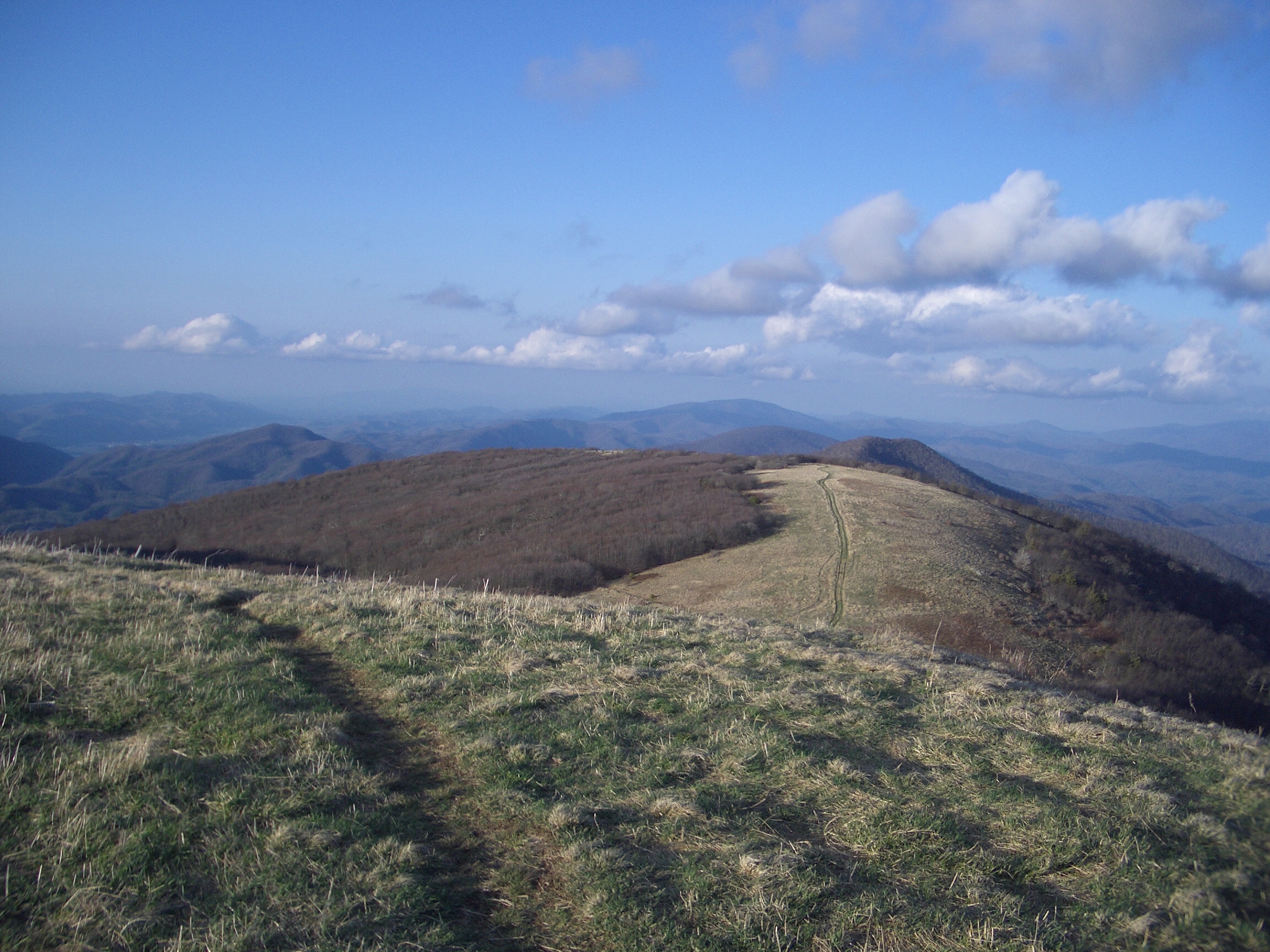
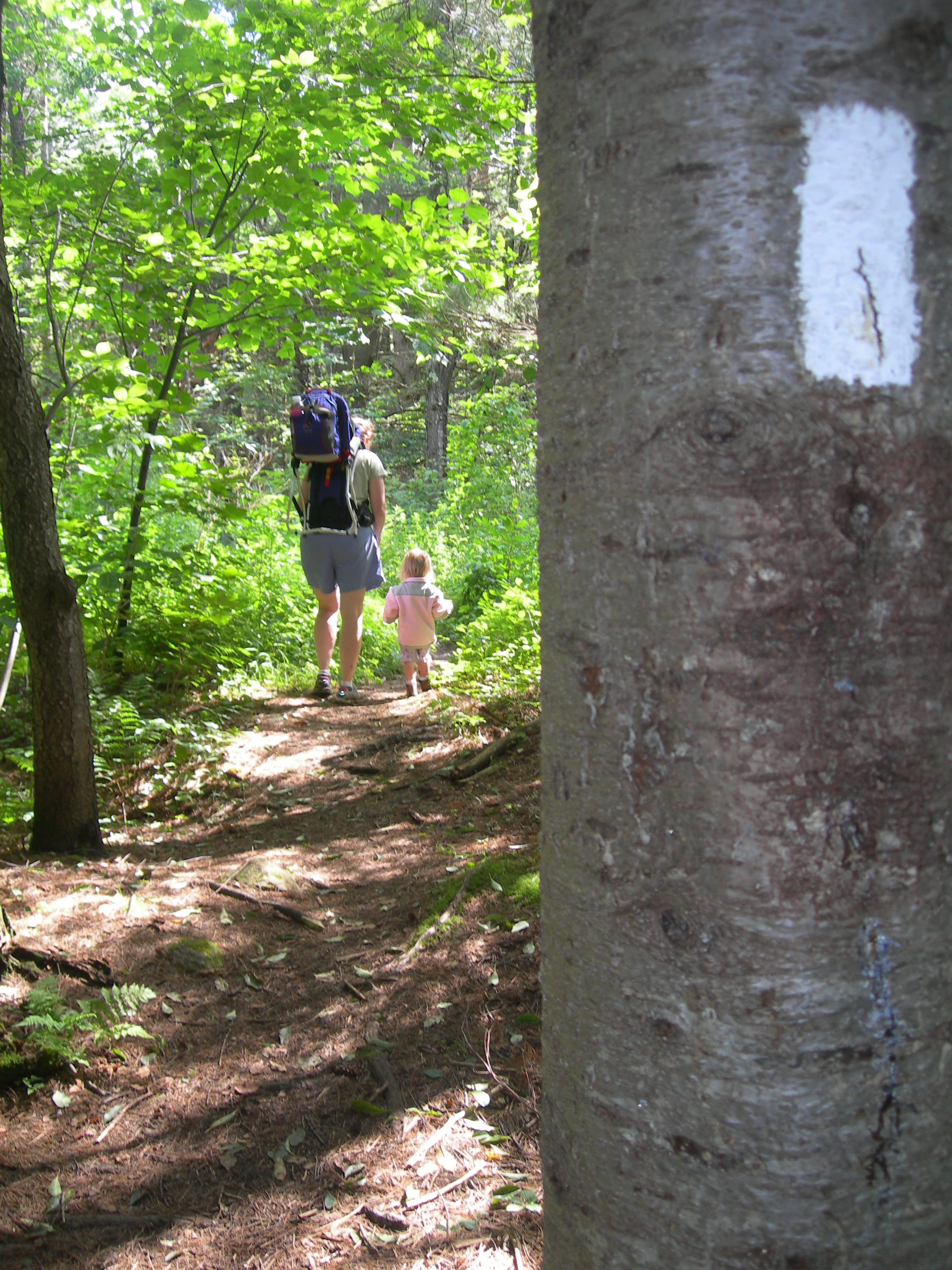
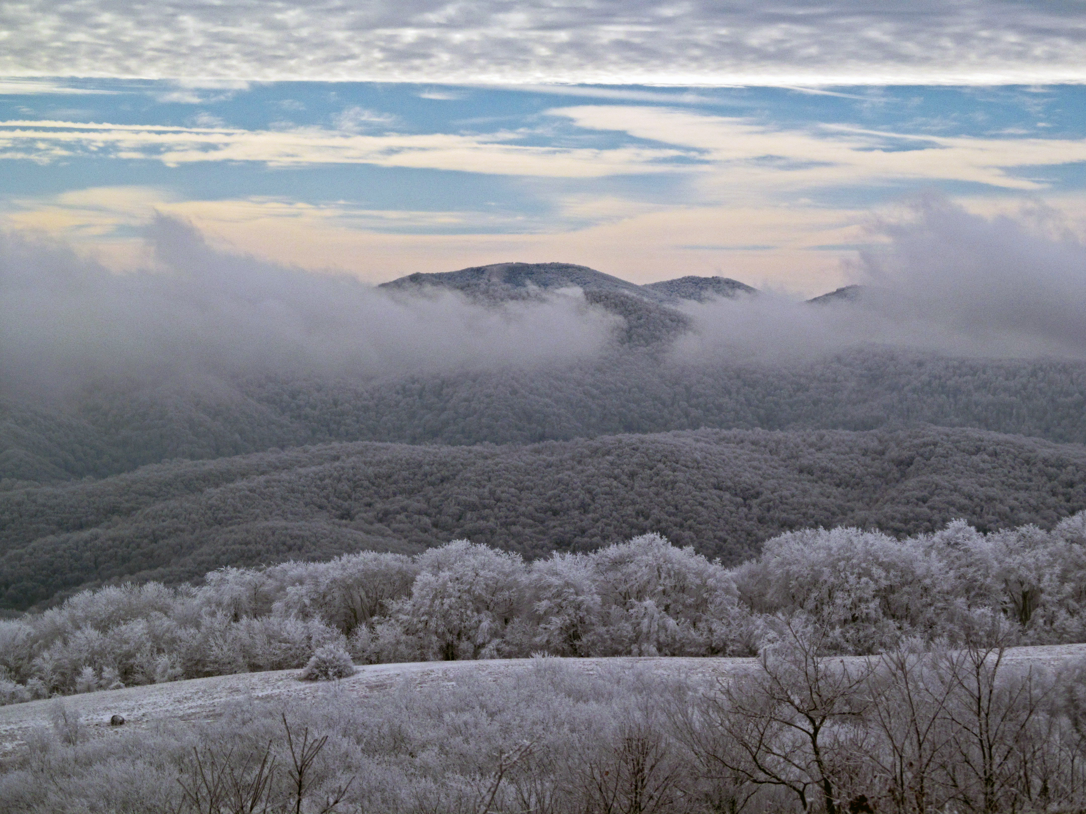
The Appalachian Trail is a 2,190+ mile long public footpath that traverses the scenic, wooded, pastoral, wild, and culturally resonant lands of the Appalachian Mountains. Conceived in 1921, built by private citizens, and completed in 1937, today the trail is managed by the National Park Service, US Forest Service, Appalachian Trail Conservancy, numerous state agencies and thousands of volunteers.
Plan a Visit
Core visitor information on this page is sourced from the National Park Service. NPD proximity sections use NPS reference coordinates and straight-line distance. Local source bundle updated Sep 27, 2026. View the official NPS page.
Weather & Conditions
It is your responsibility to be prepared for all weather conditions, including extreme and unexpected weather changes year-round. As the trail runs from Georgia to Maine there will be different weather conditions depending on your location. For weather along specific sections of the trail and at specific shelters, please refer…
NPS Reference Location
Park state / territory membership: Connecticut, Georgia, Massachusetts, Maryland, Maine, North Carolina, New Hampshire, New Jersey, New York, Pennsylvania, Tennessee, Virginia, Vermont, West Virginia. This map uses the National Park Service reference coordinate. It may represent an administrative or reference point rather than a park entrance, trailhead, visitor center, or the nearest access point. Use the official NPS directions below when planning travel.
Operating Hours
In general, the Appalachian Trail is open year-round. The northern terminus at Mount Katahdin in Maine is within Baxter State Park, which may be closed in winter months, depending on weather conditions. Particular sections of the Trail, and less-developed roads accessing the Trail, may be closed temporarily for a number of reasons, but otherwise the trail is open.
Activities
Current Alerts
Many closures remain on the Trail following Hurricane Helene's devastation. This will remain true for the foreseeable future. Visit the Appalachian Trail Conservancy (ATC) website for an up-to-date list of closures. OBSERVE ALL CLOSURES. Stay safe!
Human-habituated bears have been frequently spotted in the McAfee Knob Area. Allowing bears access to human food or garbage causes it to lose its fear of humans. Follow all food storage regulations, use provided food lockers and never feed a bear.
Getting There
There are many points of access along the Appalachian Trail, whether it is by car, train, bus or plane. For more detailed directions, please refer to the "Directions" section of our park webpage.
View Official DirectionsContact & Address
The NPS-listed address may be an administrative office, visitor center, mailing/contact location, or other park facility rather than a park entrance.
Topics & Themes
Things To Do
Multi-Park Loop
Park your car and stretch your legs! Visit four different National Parks in Washington, DC and begin logging miles on…
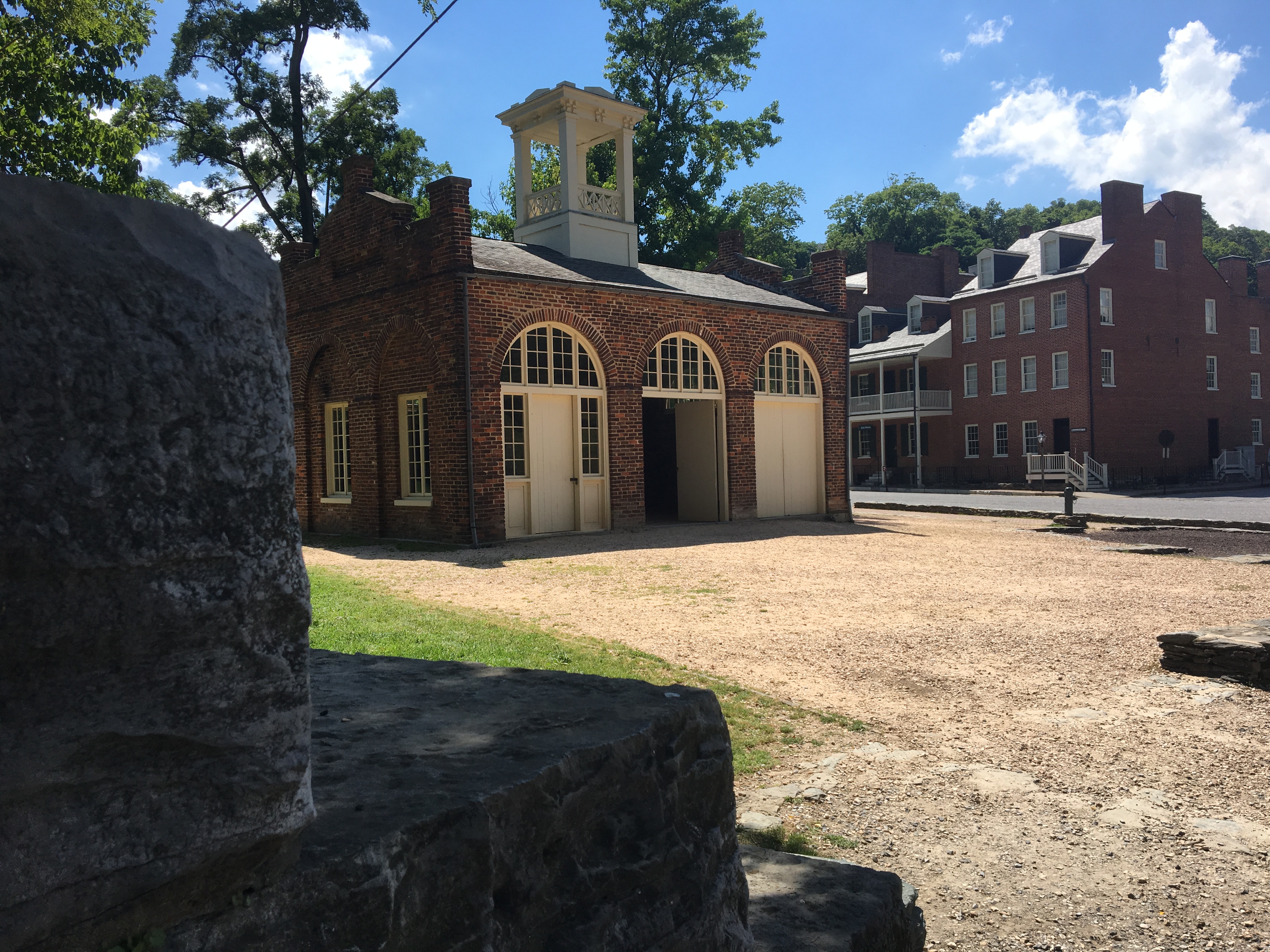
Visit John Brown's Fort
A visit to John Brown's Fort is more than seeing the building where John Brown and several of his followers…
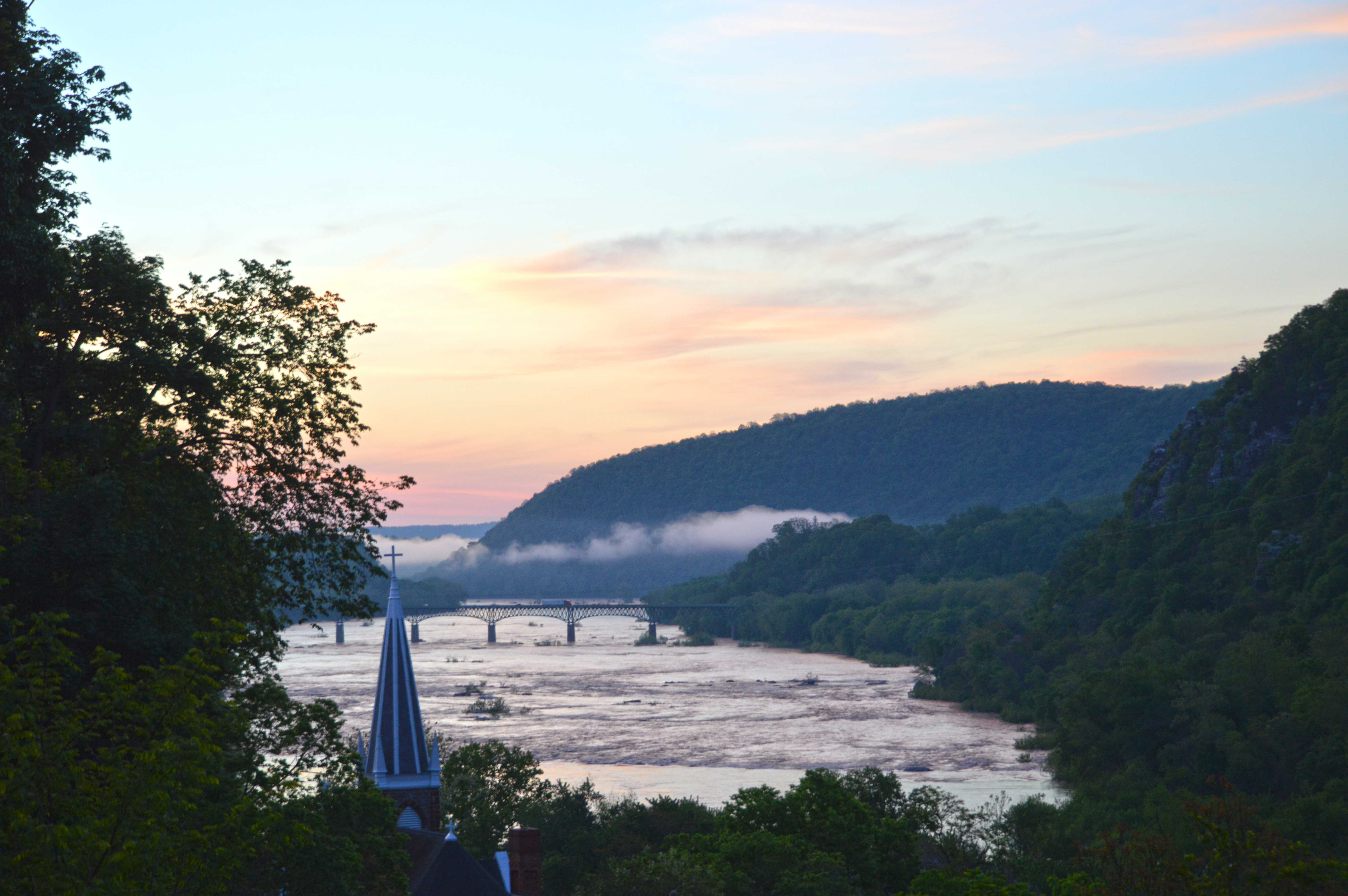
Visit Jefferson Rock
Hike along the Appalachian Trail in Harpers Ferry, WV to see the view Thomas Jefferson once described as "one of…
Visitor Centers
Appalachian Trail Conservancy - Harper's Ferry Visitor Center
The National Park Service and the Appalachian National Scenic Trail do not currently have a visitor center. The Appalachian Trail Conservancy, a national non-profit organization,…
Appalachian Trail Conservancy - Damascus Trail Center
The National Park Service and the Appalachian National Scenic Trail do not currently have a visitor center. The Appalachian Trail Conservancy, a national non-profit organization,…
Appalachian Trail Conservancy - Monson Visitor Center
The National Park Service and the Appalachian National Scenic Trail do not currently have a visitor center. The Appalachian Trail Conservancy, a national non-profit organization,…
Nearby National Park Service Sites
These sites are ordered by straight-line distance between NPS reference coordinates. This is useful for comparison, but it is not road mileage. Trails, parkways, rivers, and distributed units may extend far from their reference point.




Nearby Cities for Trip Planning
These cities are ordered by straight-line distance from the NPS reference coordinate. They are comparison starting points, not official park gateways or road-distance estimates. Trails and other distributed units may extend far beyond this reference point.