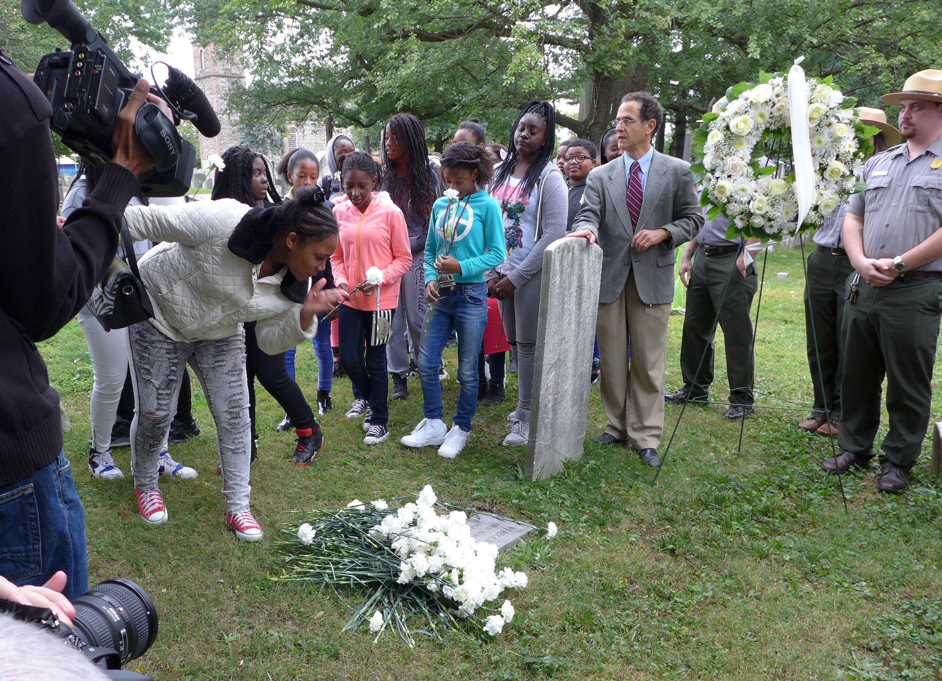


About Saint Paul’s Church National Historic Site
Since 1665, Saint Paul's Church played a vital role in the colonial life of Eastchester, 20 miles north of New York City. Townspeople voted at the nearby Village Green; local militia drilled outside its doors. But the American Revolution changed everything. American, British and Hessian troops tore down the old wooden meetinghouse for firewood and used the unfinished stone chapel as a hospital.
Plan a Visit
Core visitor information on this page is sourced from the National Park Service. NPD proximity sections use NPS reference coordinates and straight-line distance. Local source bundle updated Sep 27, 2026. View the official NPS page.
Weather & Conditions
The weather in New York City is basically the same as for this northern suburb. Please visit http://forecast.weather.gov/MapClick.php?lat=40.91259830500047&lon=-73.83707741599966#.Vqjtf_krKUk.
NPS Reference Location
Park state / territory membership: New York. This map uses the National Park Service reference coordinate. It may represent an administrative or reference point rather than a park entrance, trailhead, visitor center, or the nearest access point. Use the official NPS directions below when planning travel.
Operating Hours
From early January through late June, the site will be open Monday to Friday, 10 AM to 5 PM. During those months of January through June, the site will also be open the second Saturday of each month, from noon to 4 PM. From early July through late December, the site will be open Tuesday to Saturday, 10 AM to 5 PM.
Activities
Current Alerts
Because of the extreme weather conditions, St. Paul's will be closed today, Saturday, September 26, 2026. We would expect to re-open for normal operations on Tuesday, Sept. 29. Stay safe and dry.
Avoid area around the church & under trees in high wind conditions
Getting There
Take the 5 Lexington Avenue (green) line to the Dyre Avenue station in the Bronx, the last stop. Proceed north to E. 233rd Street and make a right, going east. Walk several blocks. Make a left onto Provost, heading north. Provost becomes S. Third Ave. Continue north on S. Third Avenue to the stop sign on the right at the Salvation Army. Make a right at stop sign onto S. Columbus. Saint Paul's will be on your right. Walk from the subway to the site should be about 15 minutes, approximately 2/3 of a mile.
View Official DirectionsContact & Address
The NPS-listed address may be an administrative office, visitor center, mailing/contact location, or other park facility rather than a park entrance.
Topics & Themes
Nearby National Park Service Sites
These sites are ordered by straight-line distance between NPS reference coordinates. This is useful for comparison, but it is not road mileage. Trails, parkways, rivers, and distributed units may extend far from their reference point.