
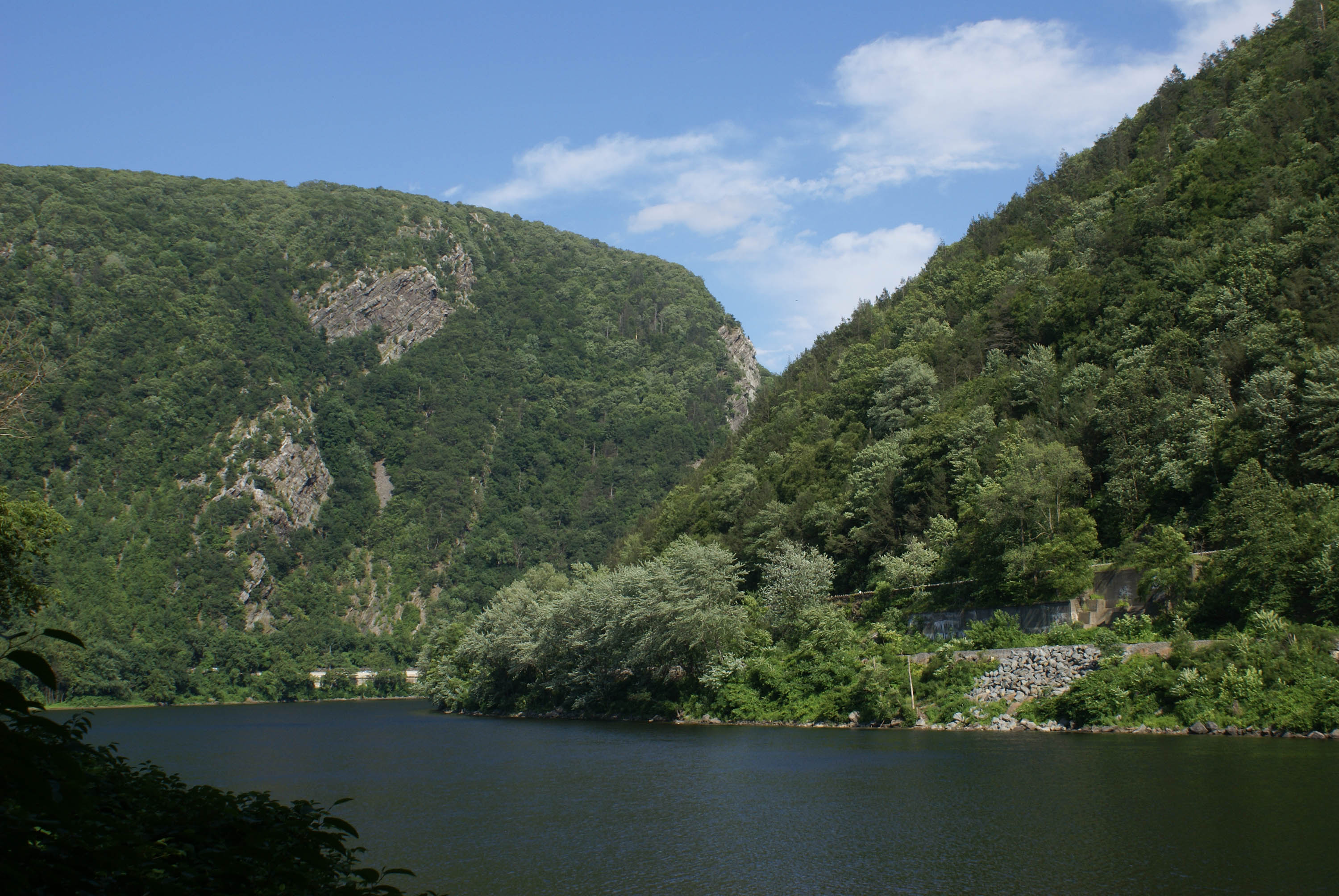


About Delaware Water Gap National Recreation Area
Situated within the most densely populated region of the United States, Delaware Water Gap National Recreation Area provides a unique opportunity to experience tranquil landscapes, rich human history, and striking scenery along 40 miles of the longest free-flowing river east of the Mississippi. The park offers year-round recreation including hiking, paddling, fishing, and hunting.
Plan a Visit
Core visitor information on this page is sourced from the National Park Service. NPD proximity sections use NPS reference coordinates and straight-line distance. Local source bundle updated Sep 27, 2026. View the official NPS page.
Weather & Conditions
Spring: Temperatures usually range from lows of 26 F to highs of 80 F with average rainfall of 5 inches. Summer: Temperatures usually range from lows of 55 F to highs of 85 F with average rainfall of 4 inches. Fall: Temperatures usually range from lows of 30 F to…
NPS Reference Location
Park state / territory membership: New Jersey, Pennsylvania. This map uses the National Park Service reference coordinate. It may represent an administrative or reference point rather than a park entrance, trailhead, visitor center, or the nearest access point. Use the official NPS directions below when planning travel.
Entrance Fees
Entrance fee for beaches and boat launches. Fee is good for one vehicle and it's passengers (up to 7 people).
Operating Hours
Park roads are open 24-hours a day. Most day-use areas within the park are open sunrise to sunset (such as trailhead parking lots, Millbrook Village, and all picnic areas).
Activities
Current Alerts
Dingmans Falls site is closed for a bridge replacement project and trail rehabilitation. All traffic, including pedestrian, cyclist, and vehicle traffic, is prohibited on the road and trail during construction.
Old Mine Road between Jager Road and Route 206 will close to all traffic beginning on April 6, 2026. Contractors will work to rehabilitate a 3.5-mile stretch of road. The construction area will be closed to all traffic for the safety of park visitors and contractors.
Main Street in Walpack Center is closed at the Flatbrook Bridge due to structural damage to the bridge.
Getting There
Delaware Water Gap National Recreation Area is a long, narrow park that sits between two major interstates, I-80 at the south and I-84 at the north. US 209 is the main north/south road through the park on the Pennsylvania side and Old Mine Road is the main north/south road though the park on the New Jersey side.
View Official DirectionsContact & Address
The NPS-listed address may be an administrative office, visitor center, mailing/contact location, or other park facility rather than a park entrance.
Entrance Passes
Annual seasonal pass for expanded amenity fee areas. Passes can be purchased from park visitor centers or staffed fee booths located at Milford Beach, Smithfield Beach, and Turtle Beach.
Topics & Themes
Things To Do
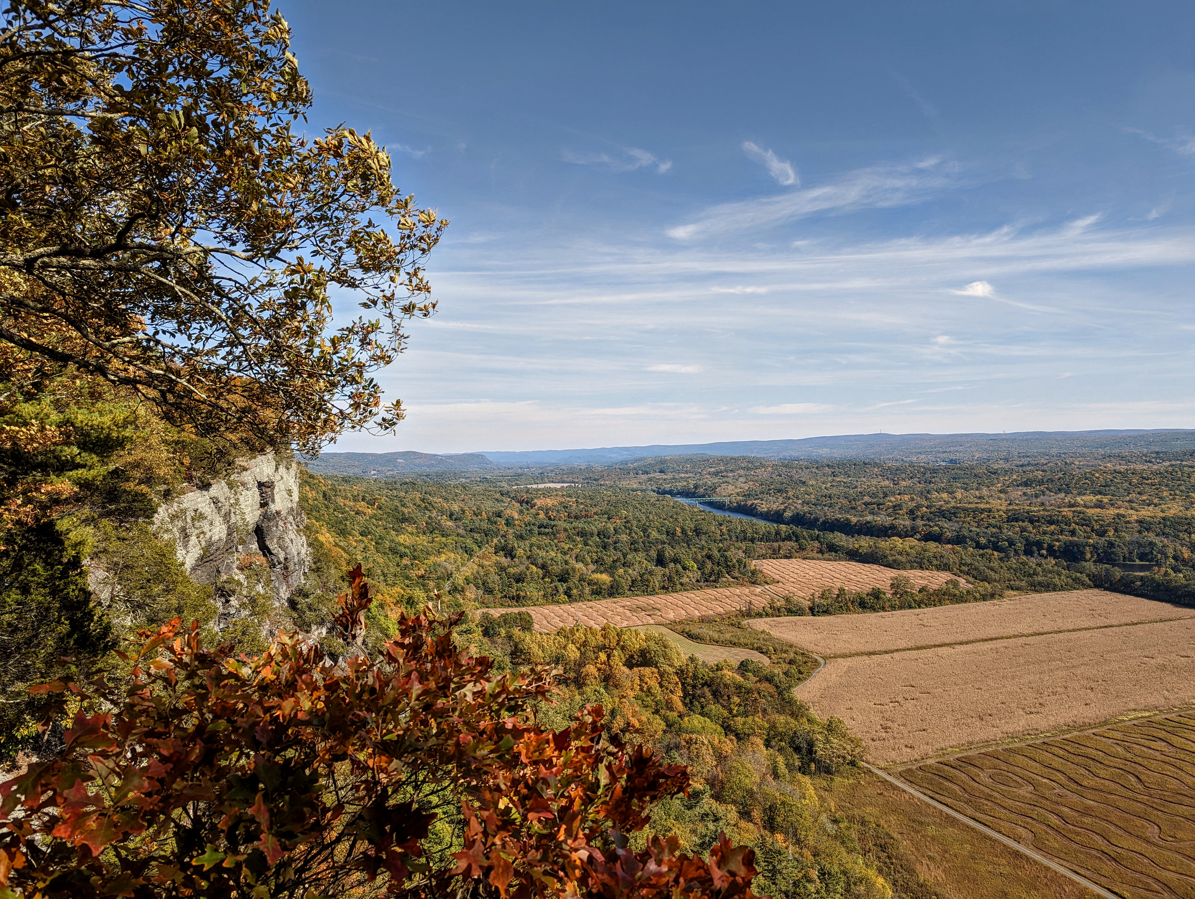
Hike the Cliff Trail
The Cliff Trial along the Raymondskill Ridge has gorgeous scenic views and just enough elevation gain to get the heart…

Millbrook Village
Take a walk around Millbrook Village.
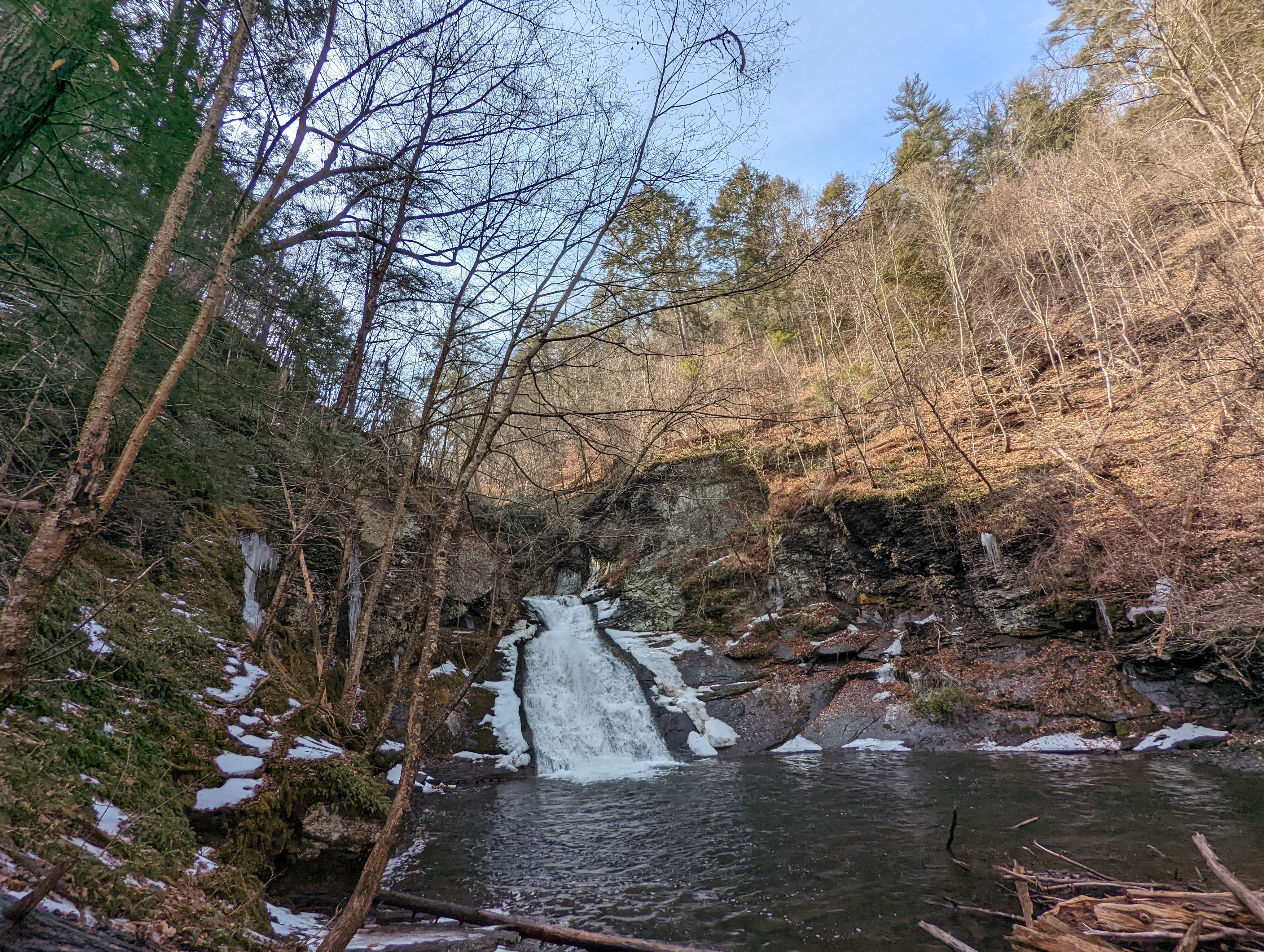
Easy Hike Along Hornbecks Creek
An easy, one-mile out and back hike along the Lower Hornbecks Creek will lead visitors to a small waterfall, but…

Biking on the McDade Recreational Trail
Biking on the McDade Recreational Trail

Snowshoe and Cross-country Ski on the McDade Trail
Snowshoeing and cross-country skiing on the McDade Recreational Trail.