


About Star-Spangled Banner National Historic Trail
The Star-Spangled Banner National Historic Trail is a collection of sites impacted by the War of 1812. These local, historic sites tell the story of the Chesapeake Campaign, culminating in the writing of our National Anthem. In addition to their historic significance, many of the sites along the trail are fantastic places to go for a walk, explore the outdoors, and access local waterways.
Plan a Visit
Core visitor information on this page is sourced from the National Park Service. NPD proximity sections use NPS reference coordinates and straight-line distance. Local source bundle updated Sep 27, 2026. View the official NPS page.
Weather & Conditions
The Star-Spangled Banner National Historic Trail is made up of parks, museums, outdoor trails, and waterways throughout the Chesapeake Bay region. Weather can effect the hours of operation and access points to many sites along the trail. Exercise caution when exploring the trail outdoors. Dress appropriately for seasonal conditions such…
NPS Reference Location
Park state / territory membership: Maryland, Virginia, District of Columbia. This map uses the National Park Service reference coordinate. It may represent an administrative or reference point rather than a park entrance, trailhead, visitor center, or the nearest access point. Use the official NPS directions below when planning travel.
Operating Hours
The Star-Spangled Banner National Historic Trail is not a clearly marked hiking trail. Instead it is a route that passes through communities, urban areas, and public lands. The route travels across a variety of land ownerships and management, including private land. Each location varies as to the hours of operations and access. Please contact individual trail sites before your visit for more information.
Activities
Current Alerts
We do not mail Junior Ranger books; please download from site. Completed books may be submitted digitally. Junior Ranger badges may be mailed once per person per calendar year after completion. We do not mail completed books back.
Getting There
The Trail's headquarters is at Fort McHenry National Monument and Historic Shrine. The park is three miles southeast of the Baltimore Inner Harbor and just off I-95. Follow the brown Fort McHenry directional signs along all major routes to the park. From I-95 northbound, take Exit 55 Key Highway and follow Fort McHenry signs. To visit other trail locations, download a trail map.
View Official DirectionsContact & Address
The NPS-listed address may be an administrative office, visitor center, mailing/contact location, or other park facility rather than a park entrance.
Topics & Themes
Things To Do

Paddle the Sassafras River Water Trail
The Sassafras River Water Trail is a 22 mile-long route located in the Upper region of the Chesapeake Bay. The…
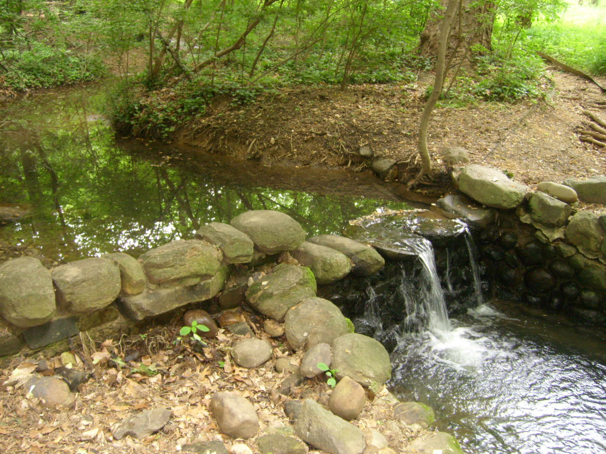
Multi-Park Loop
Park your car and stretch your legs! Visit four different National Parks in Washington, DC and begin logging miles on…
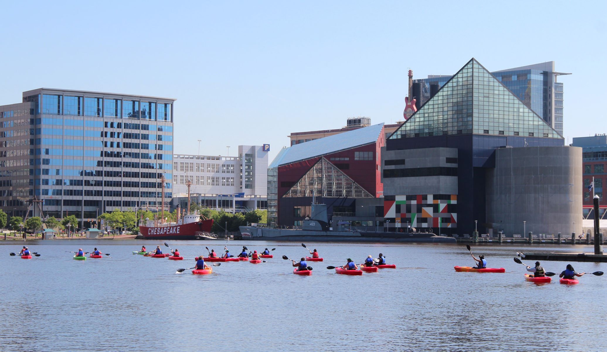
Paddle the Baltimore Blueway
Choose from 30 miles of trails in the Inner Harbor, Outer Harbor, Middle Branch, and Patapsco River. Imagine yourself gliding…

Watch an Artillery Demonstration at Fort Washington Park
Ever wonder how Civil War cannons were fired? Visit the park the first Sunday of every month from May to…

Bicycle between Point Lookout and Leonardtown, MD
Bicycling on a section of the Southern Maryland PHT On-Road Bicycling Route between Point Lookout and Leondardtown, MD
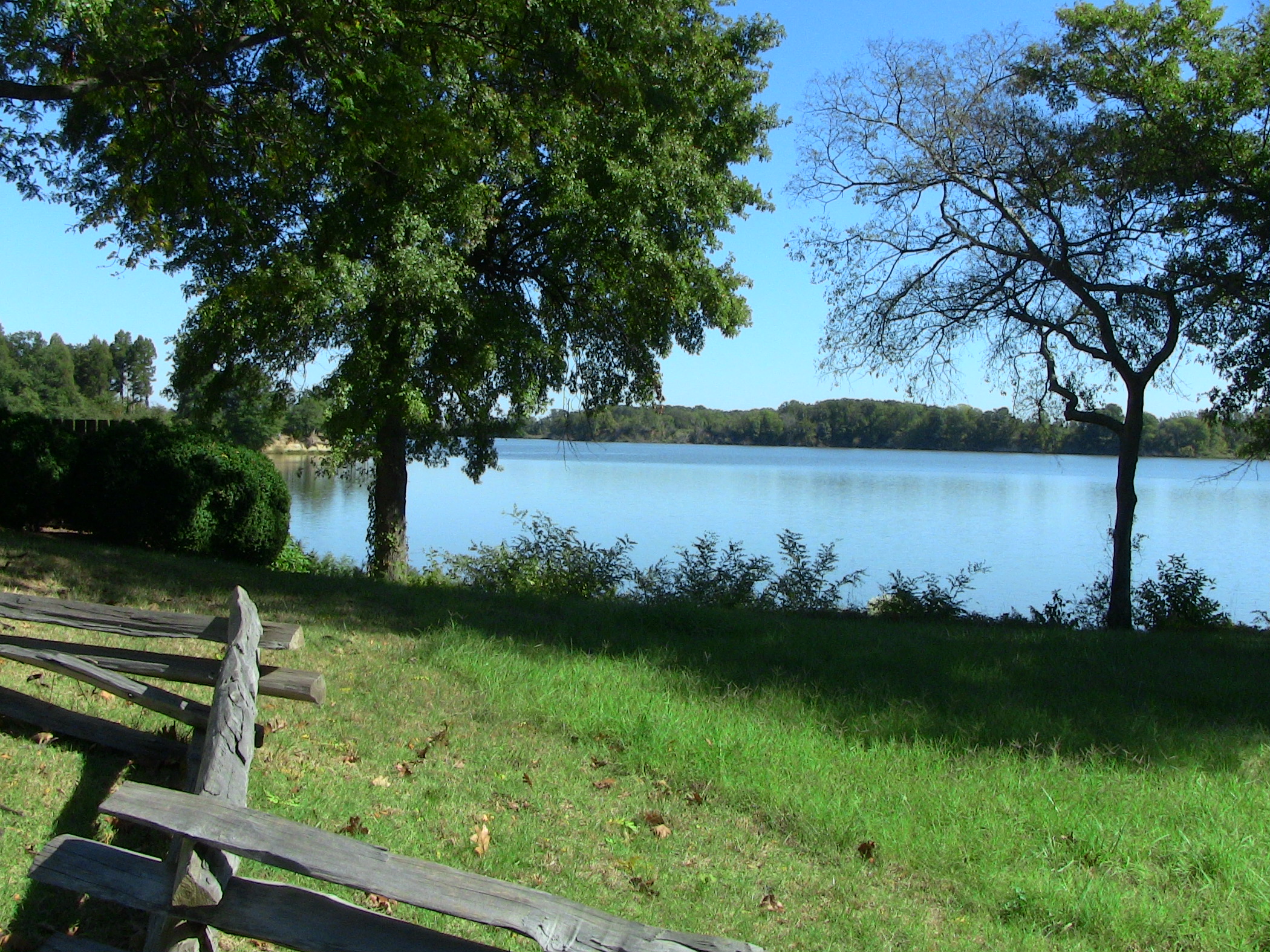
Explore by bicycle from Westmoreland State Park
With Westmoreland State Park as a base, ride a loop connected with the Northern Neck Heritage Trail to explore Stratford…
More Things to Do
Additional activities and experiences from the National Park Service.
Paddle the Potomac River
Beginning at Jennings