
About Piscataway Park
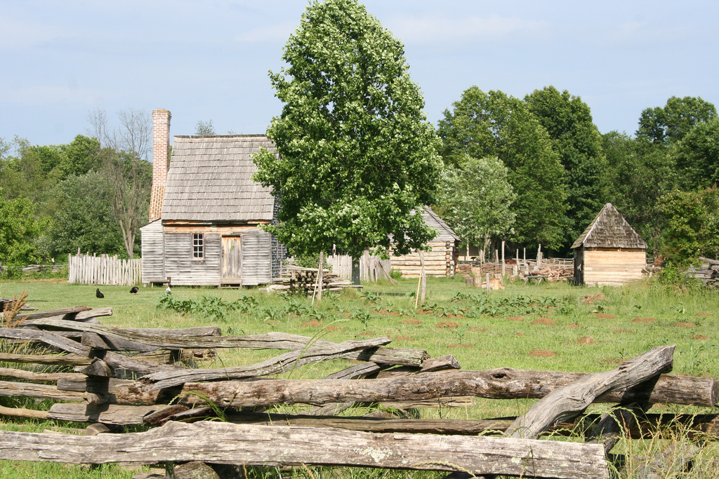
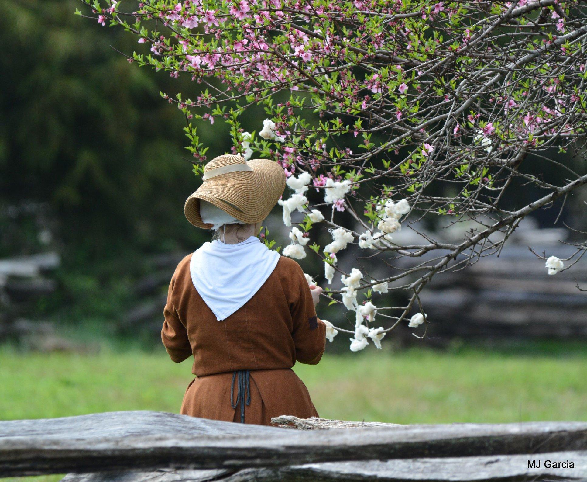
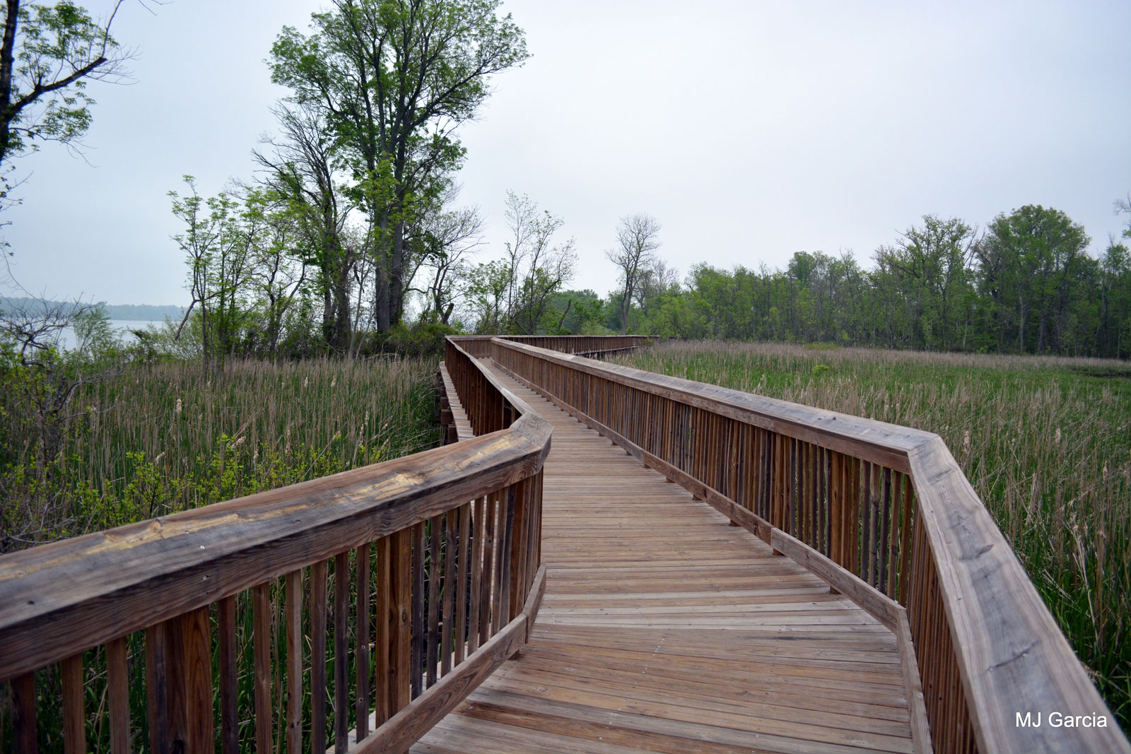
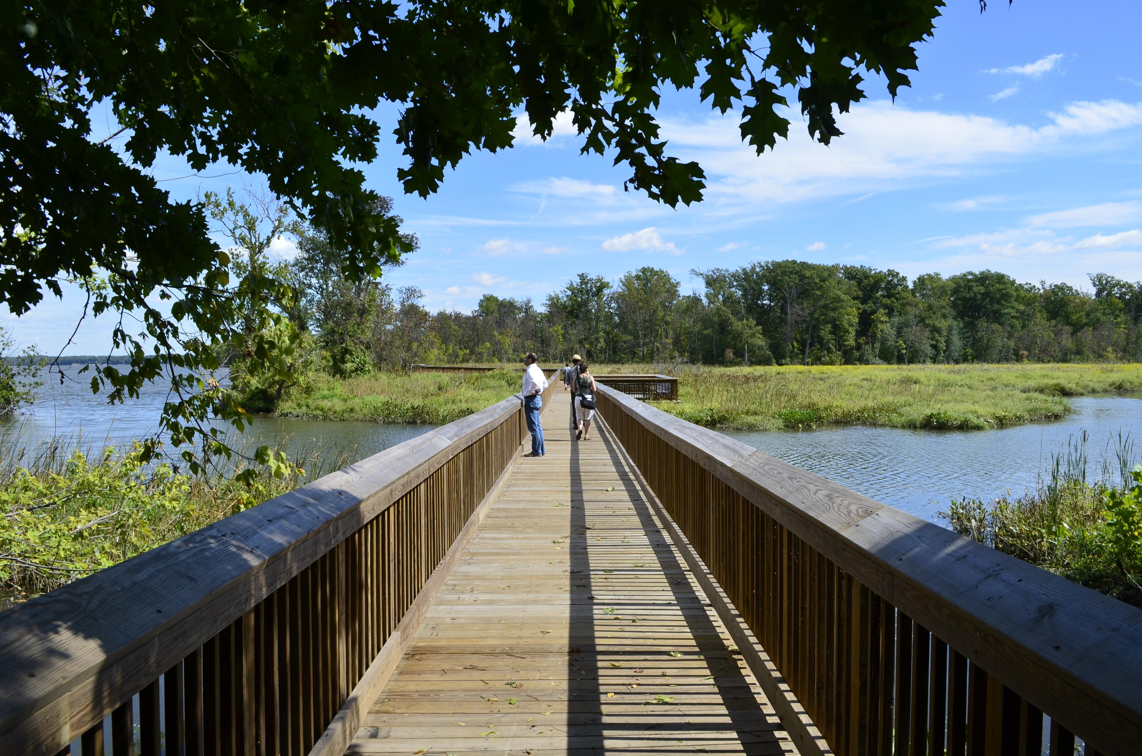
Piscataway Park is home to bald eagles, beavers, deer, foxes, ospreys, and many other species. To complement the surroundings, the park has, in addition to a public fishing pier and two boardwalks over fresh water tidal wetlands, a variety of nature trails, meadows, and woodland areas. The Park is also home to National Colonial Farm.
Plan a Visit
Core visitor information on this page is sourced from the National Park Service. NPD proximity sections use NPS reference coordinates and straight-line distance. Local source bundle updated Sep 27, 2026. View the official NPS page.
Weather & Conditions
Summers are generally hot and humid, with daytime highs frequently above 90 degrees Fahrenheit and scattered afternoon thunderstorms. Please carry water while participating in physical activity and be prepared to take shelter from lightning. Winters are generally cold, with nighttime lows frequently near freezing and occasional snowfall. Weather during spring…
NPS Reference Location
Park state / territory membership: Maryland. This map uses the National Park Service reference coordinate. It may represent an administrative or reference point rather than a park entrance, trailhead, visitor center, or the nearest access point. Use the official NPS directions below when planning travel.
Operating Hours
Piscataway Park, including Accokeek Creek Boardwalk, Farmington Landing, and Marshall Hall, is open daily for pedestrian access from 6:00 a.m. to 10:00 p.m., and for vehicle access through gated areas from 9:00 a.m. to 10:00 p.m.
Activities
Current Alerts
The National Park Service is imposing a temporary closure of Farmington Landing. This temporary closure is necessary to provide for visitor safety during a comprehensive rehabilitation project to restore park resources and improve the visitor experience. Work will include resurfacing the parking lot, replacing parking barriers, replacing trash cans with new wildlife-proof trash cans, and installing new fishing rod holders.
The National Park Service is imposing a temporary closure of Fort Foote Park. This temporary closure is necessary to provide for visitor safety during a comprehensive rehabilitation project to restore park resources and improve the visitor experience. Work will include resurfacing the parking lot and gravel roadway, replacing parking barriers, removing the abandoned restroom facility and reseeding the area, and replacing trash cans with new wildlife-proof trash cans.
Getting There

The National Colonial Farm: From the Capital Beltway (I495/95) from southbound take Exit 3, to MD210 South/Indian Head Highway. Travel approximately 9 miles, at the traffic light by B&J Carryout turn right on Livingston Road (please note that Livingston Road crosses MD210 several times) Drive one block and turn right on Biddle Road. At the stop sign, turn left on Bryan Point Road and follow about 3.5 miles. National Colonial Farm will be on the right.
View Official DirectionsContact & Address
The NPS-listed address may be an administrative office, visitor center, mailing/contact location, or other park facility rather than a park entrance.
Topics & Themes
Things To Do
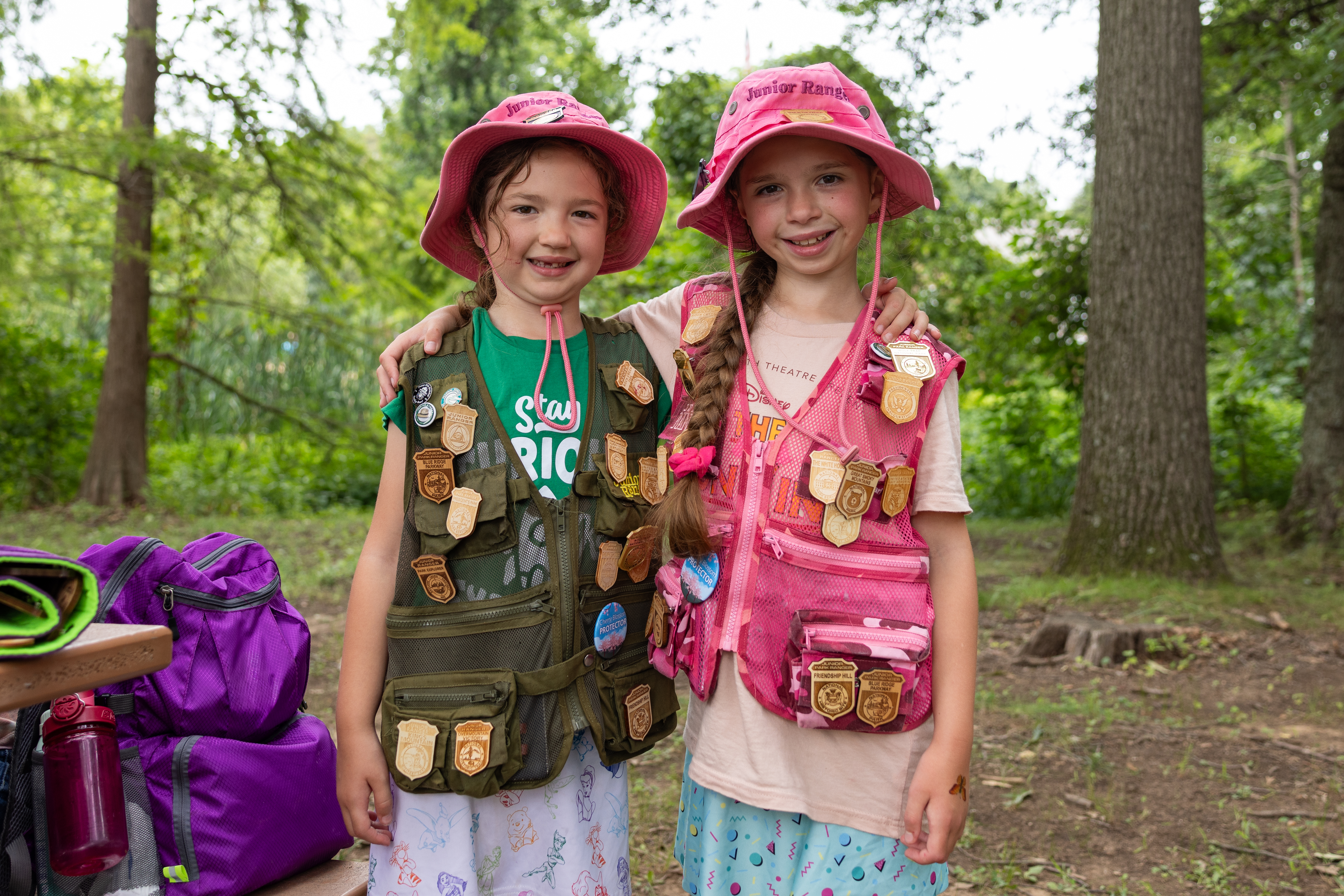
Junior Ranger Programs at National Capital Parks - East
Become a Junior Ranger at parks across National Capital Parks – East! Explore, complete a booklet, and earn badges and…
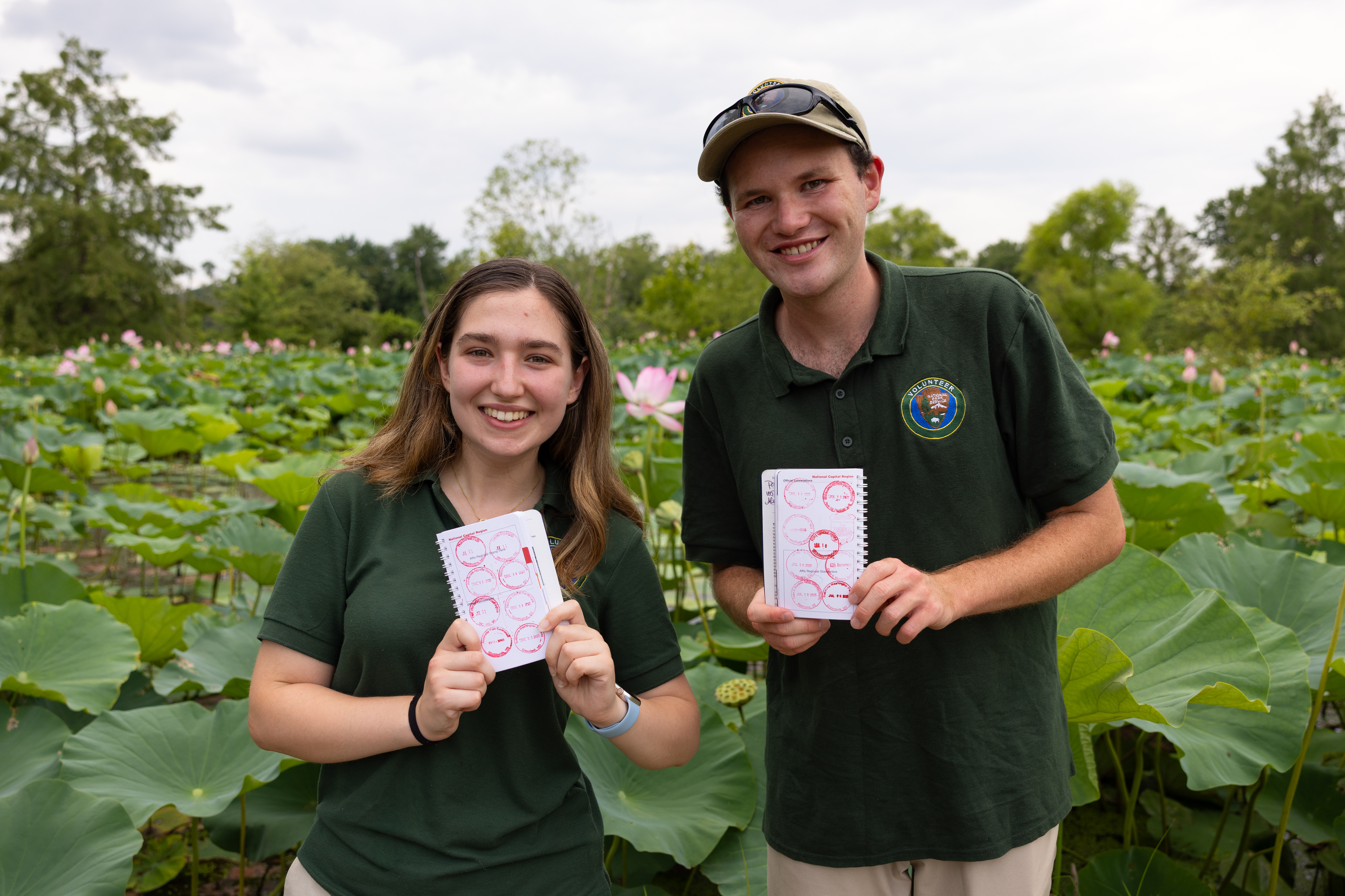
Collect all the National Capital Parks - East Passport Stamps
Start your stamp collection and celebrate every park you visit! Explore historic sites and scenic parks managed by National Capital…
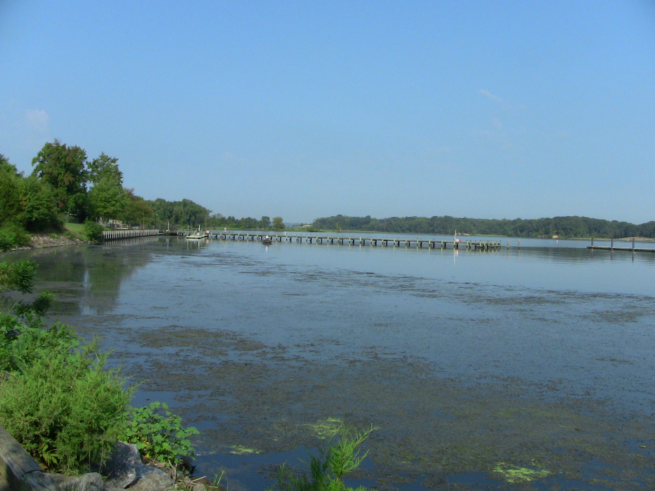
Bicycle Smallwood State Park to Oxon Cove Park
The on-road bicycling route between Smallwood State Park and Oxon Cove Park makes connections with parks and historic sites.

See Mount Vernon From Piscataway Park
As a scenic easement meant to preserve the view from Mt. Vernon, Piscataway Park is a testament to the rich…
Visitor Centers
National Colonial Farm Visitor Center
Operated in partnership with the Accokeek Foundation. There is no Junior Ranger Program for Piscataway Park.
Nearby National Park Service Sites
These sites are ordered by straight-line distance between NPS reference coordinates. This is useful for comparison, but it is not road mileage. Trails, parkways, rivers, and distributed units may extend far from their reference point.

Nearby Cities for Trip Planning
These cities are ordered by straight-line distance from the NPS reference coordinate. They are comparison starting points, not official park gateways or road-distance estimates. Trails and other distributed units may extend far beyond this reference point.
🗺️ Guided Tours & Experiences
Discover Piscataway Park with expert-led tours
We earn a commission if you make a purchase, at no additional cost to you.
🏨 Search Lodging for Piscataway Park
Review lodging results matching this park or site name
We earn a commission if you make a purchase, at no additional cost to you.