



About Pea Ridge National Military Park
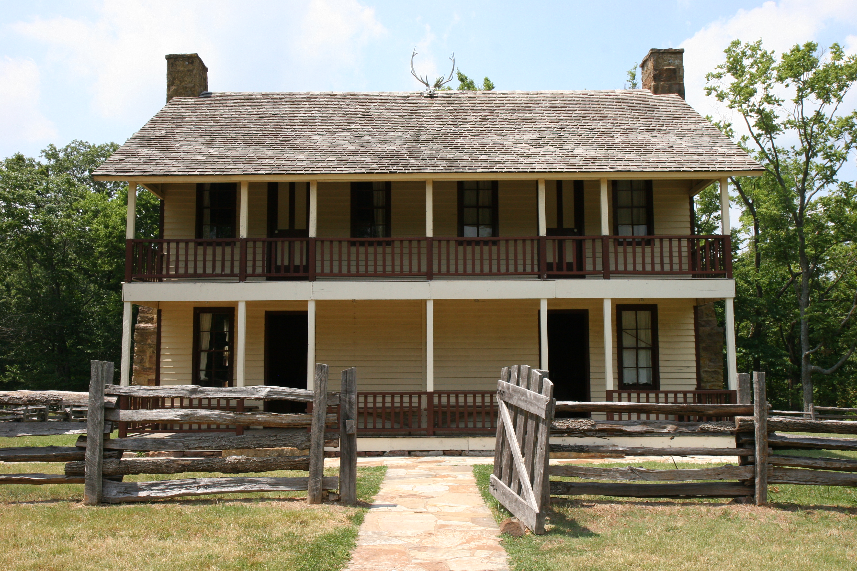
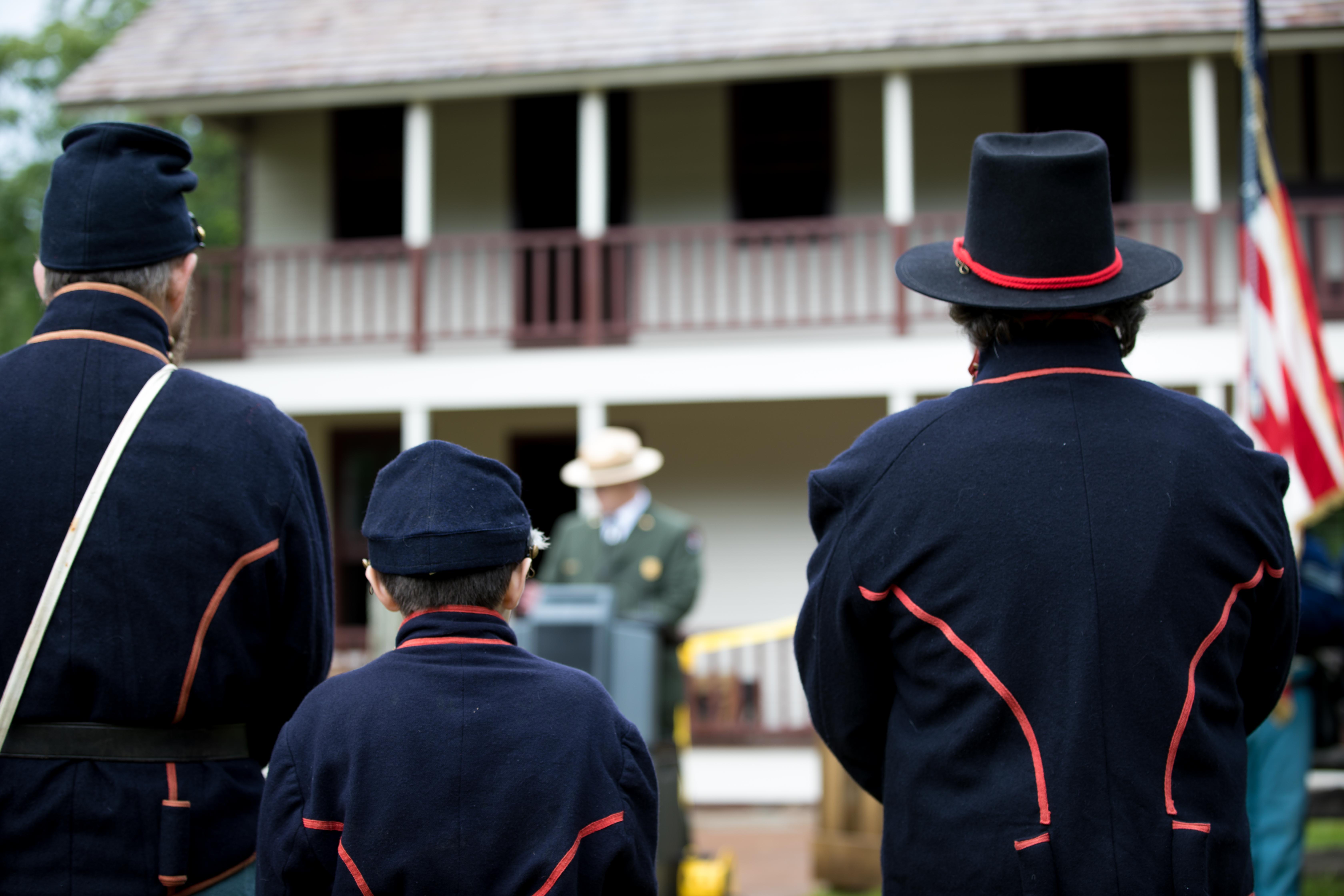
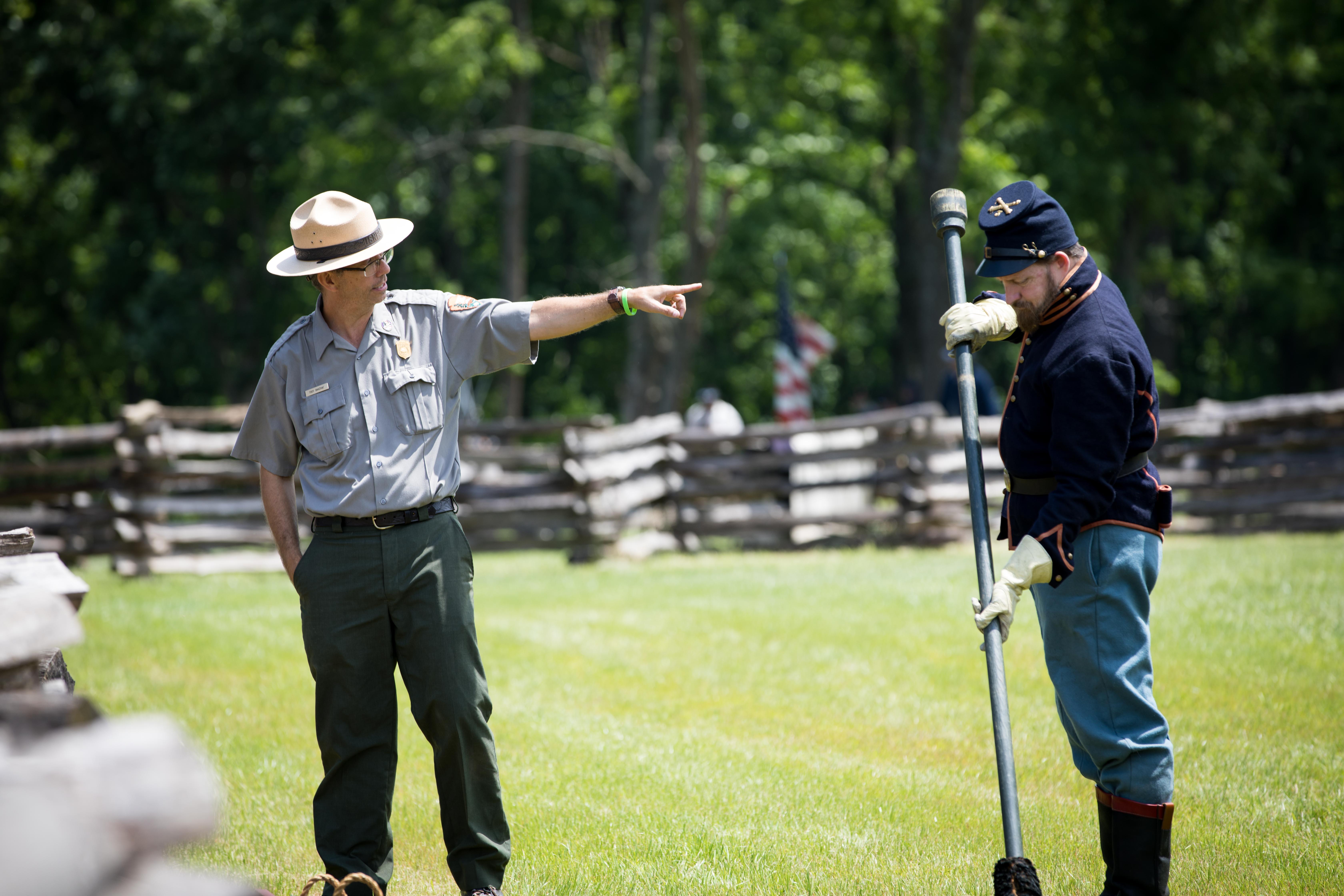
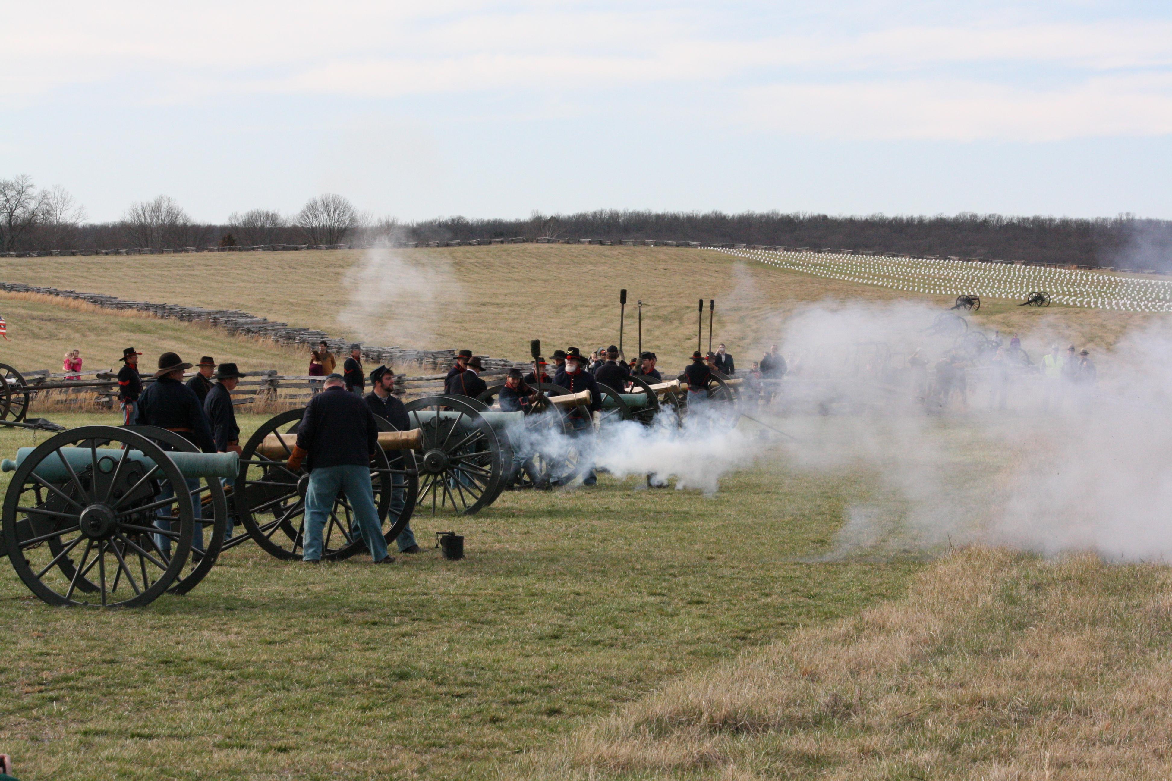
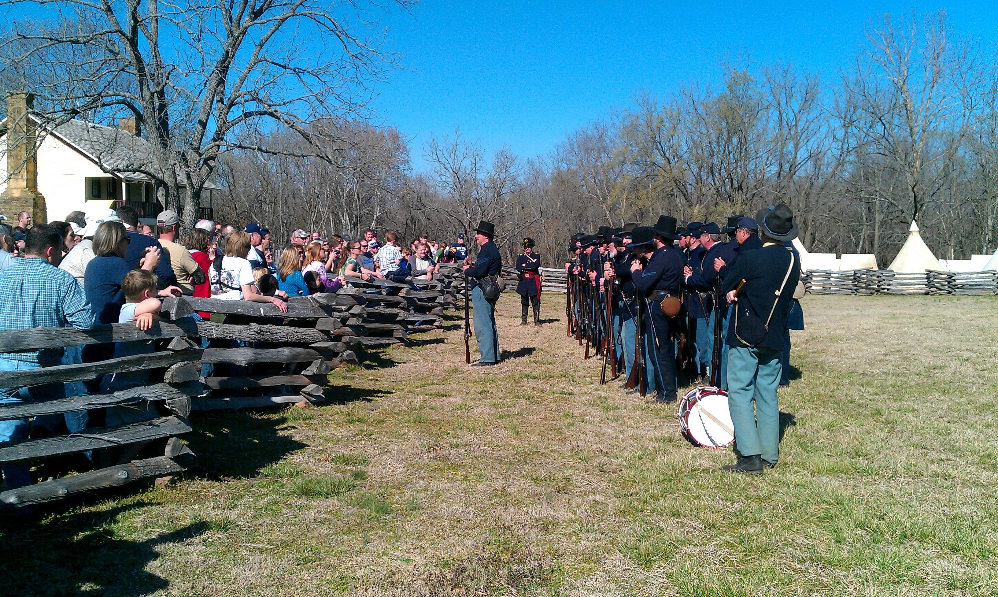
On March 7-8, 1862, over 23,000 soldiers fought here to decide the fate of Missouri which was a turning point of the war in the Trans-Mississippi. This 4,400-acre battlefield honors those who fought and died on these hallowed grounds. Pea Ridge was the most pivotal Civil War battle west of the Mississippi River.
Plan a Visit
Core visitor information on this page is sourced from the National Park Service. NPD proximity sections use NPS reference coordinates and straight-line distance. Local source bundle updated Sep 27, 2026. View the official NPS page.
Weather & Conditions
Pea Ridge National Military Park is located in the northwestern part of the state and is on a part of the Ozark Plateau. The climate is hot and humid in the summers, has mild temperatures in the fall, and drier and cooler temperatures in the winter. During the spring and…
NPS Reference Location
Park state / territory membership: Arkansas. This map uses the National Park Service reference coordinate. It may represent an administrative or reference point rather than a park entrance, trailhead, visitor center, or the nearest access point. Use the official NPS directions below when planning travel.
Operating Hours
The battlefield driving tour road is open for visitors to tour 7 days a week from 6 am to sunset.
Activities
Getting There
The entrance road is located on Highway 62, 1.3 miles east of the intersection of Highways 62 and 72. As one is driving along highway 62, watch for the brown road signs directing one to the entrance road to the park's visitor center.
View Official DirectionsContact & Address
The NPS-listed address may be an administrative office, visitor center, mailing/contact location, or other park facility rather than a park entrance.
Topics & Themes
Things To Do

Bicycles in Pea Ridge National Park
Cycling at Pea Ridge National Military Park is a great way to discover the true scope of the park, both…

Williams Hollow Loop Hike
Hiking at Pea Ridge National Military Park is a great way to understand the true scope of the park, both…
Visitor Centers
Pea Ridge National Military Park
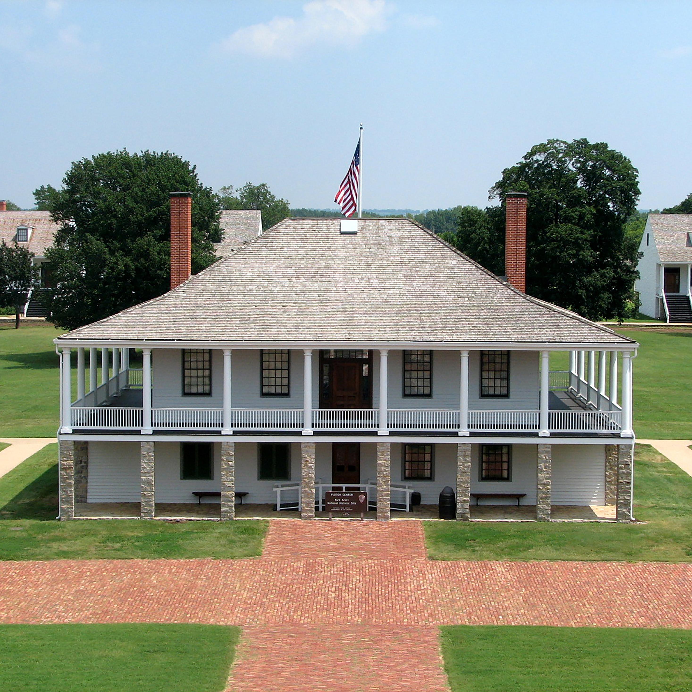
The Pea Ridge Visitor Center is located down the new entrance road from Hwy 62. Once inside the Visitor Center, there is a 28-minute orientation…
Nearby National Park Service Sites
These sites are ordered by straight-line distance between NPS reference coordinates. This is useful for comparison, but it is not road mileage. Trails, parkways, rivers, and distributed units may extend far from their reference point.


Nearby Cities for Trip Planning
These cities are ordered by straight-line distance from the NPS reference coordinate. They are comparison starting points, not official park gateways or road-distance estimates. Trails and other distributed units may extend far beyond this reference point.
🗺️ Guided Tours & Experiences
Discover Pea Ridge National Military Park with expert-led tours
We earn a commission if you make a purchase, at no additional cost to you.
🏨 Search Lodging for Pea Ridge National Military Park
Review lodging results matching this park or site name
We earn a commission if you make a purchase, at no additional cost to you.