
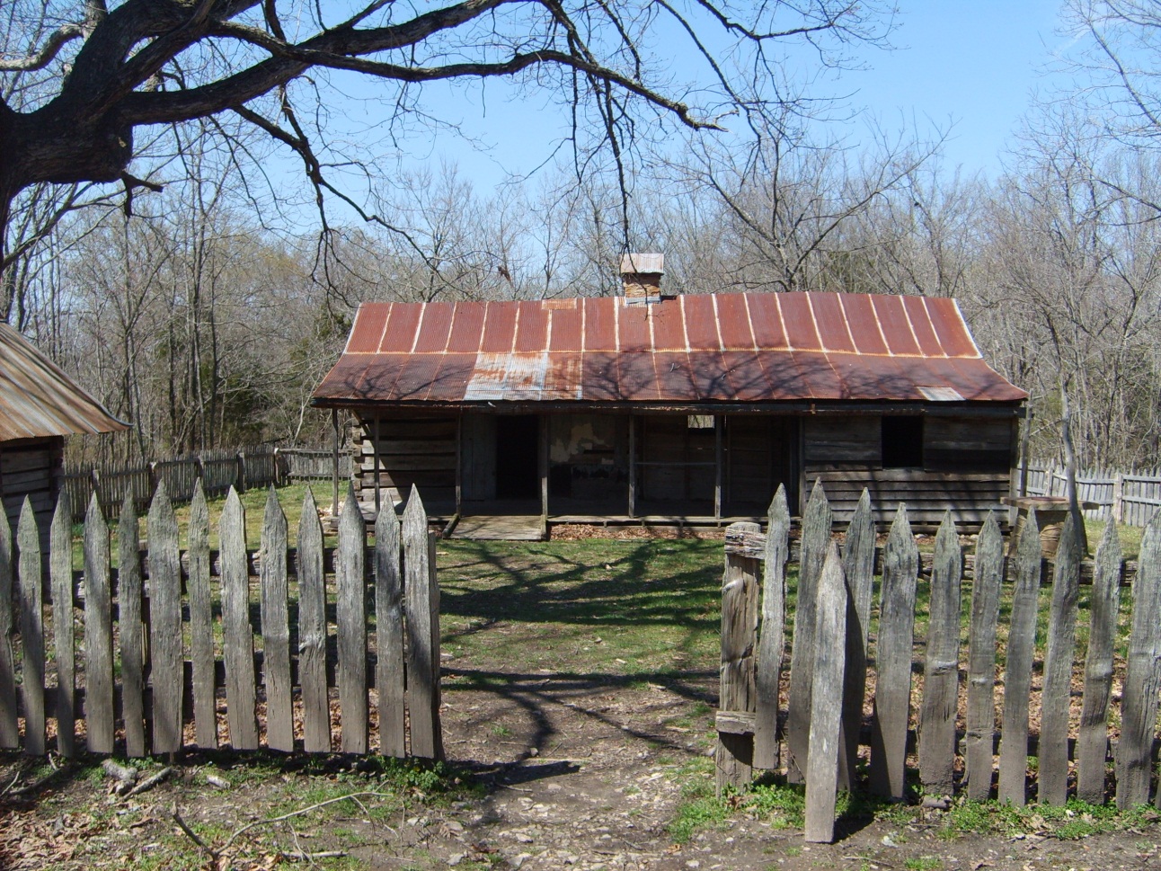
About Buffalo National River
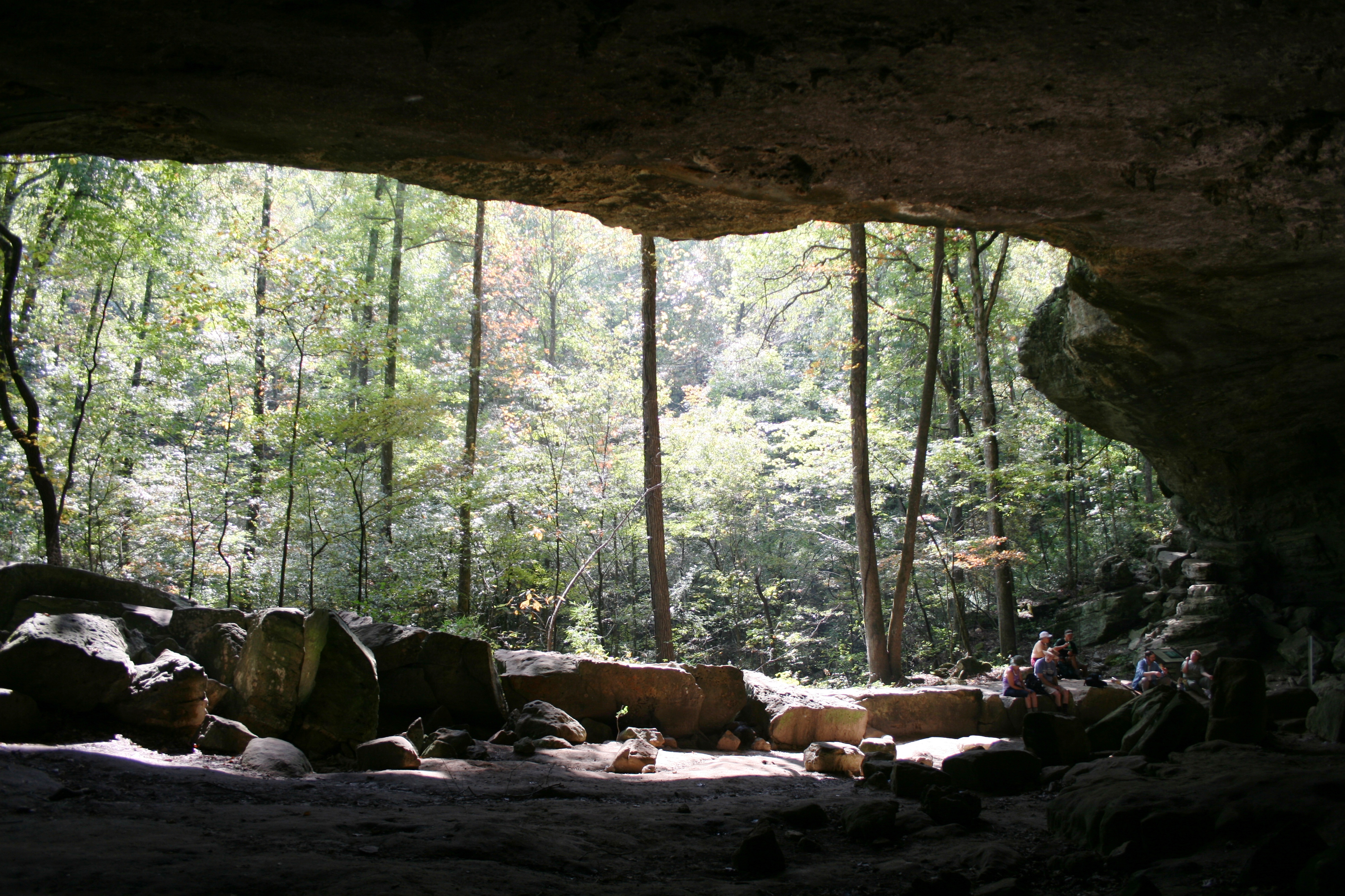
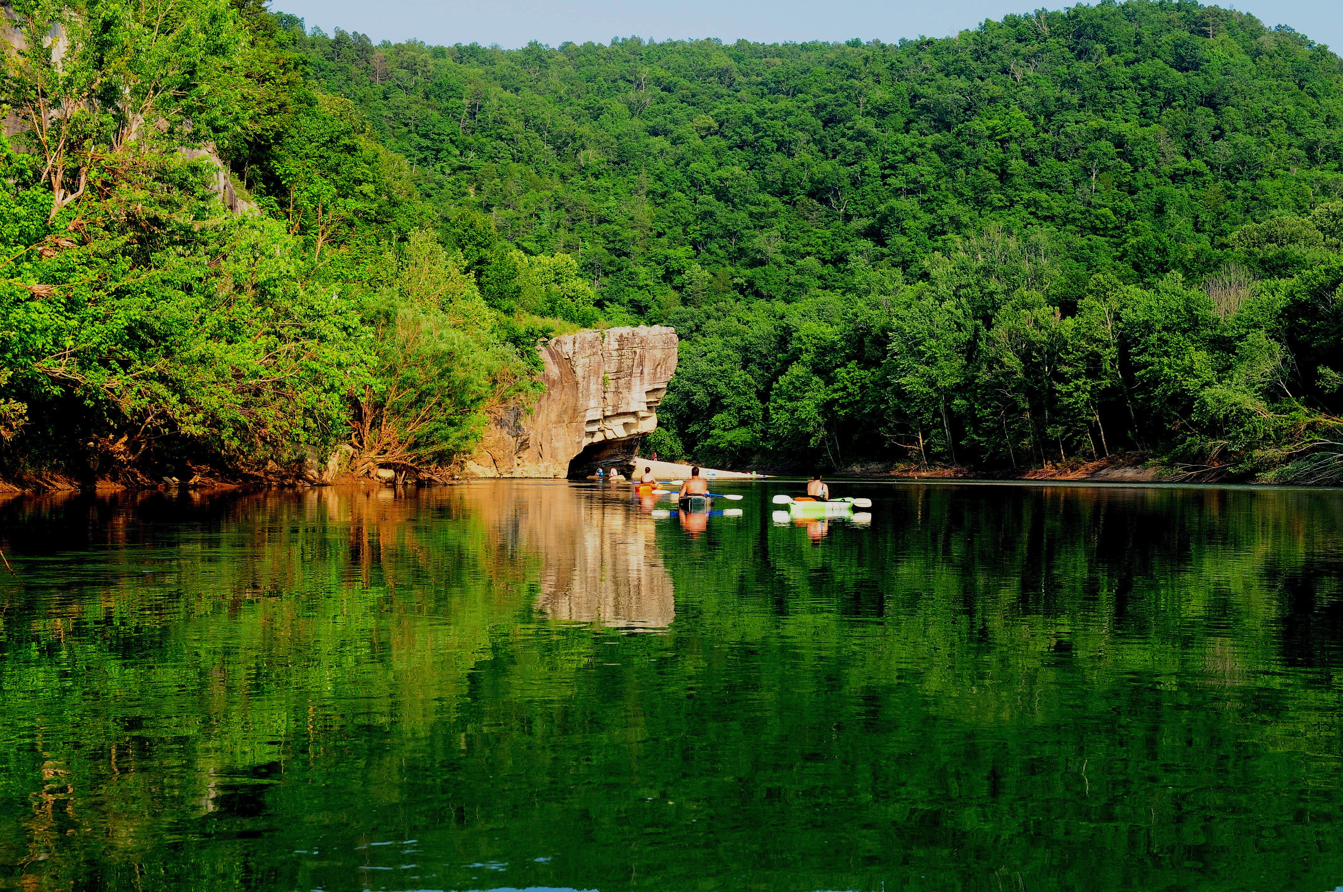
Established in 1972, Buffalo National River flows freely for 135 miles and is one of the few remaining undammed rivers in the lower 48 states. Once you arrive, prepare to journey from running rapids to quiet pools while surrounded by massive bluffs as you cruise through the Ozark Mountains down to the White River.
Quick Facts
Operating Hours
Buffalo National River is 135 miles long. The park is open 24 hours.
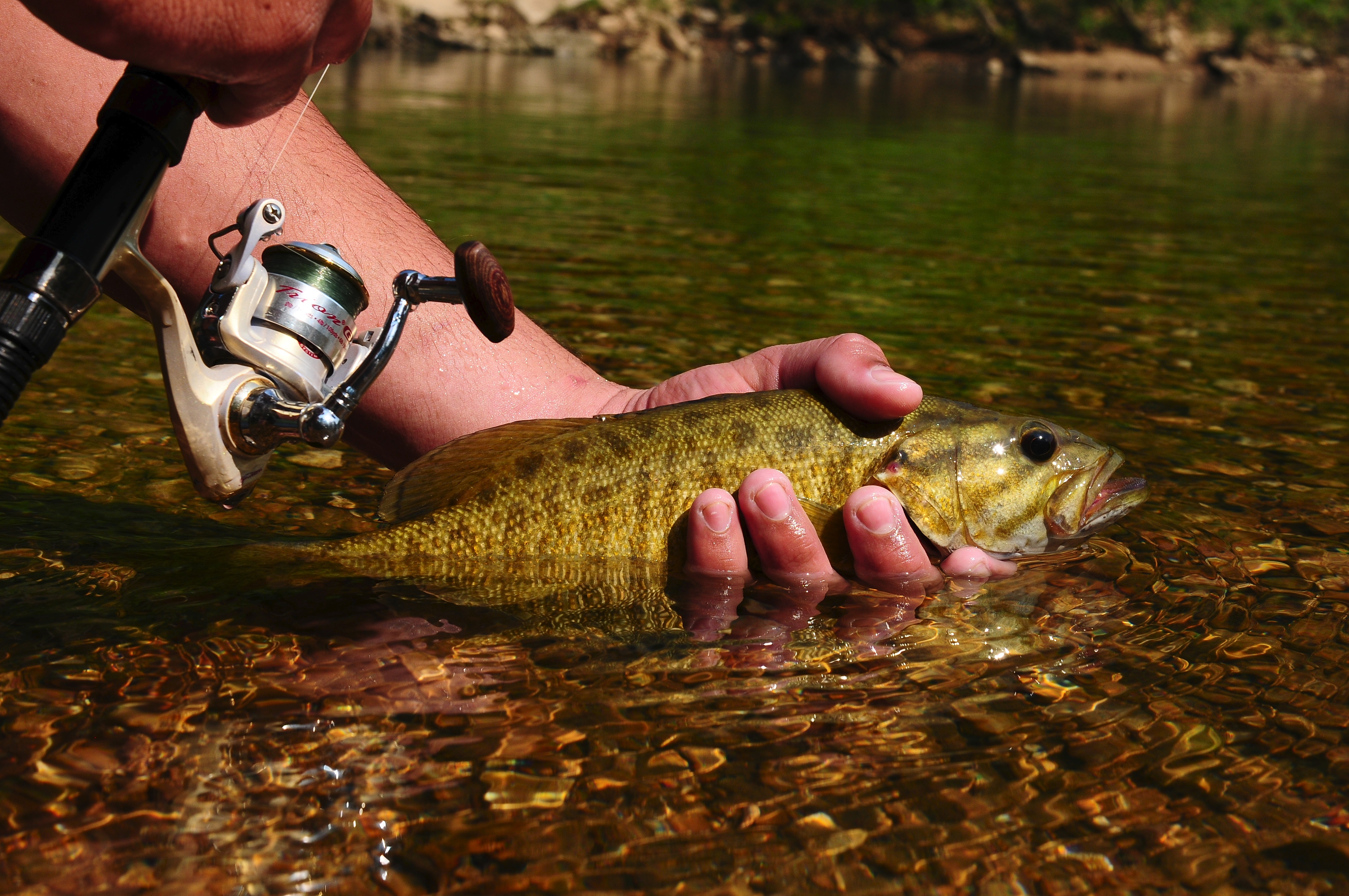
Activities
Getting There
Buffalo National River is a long, narrow park that is crossed by three main highways. Highways 7, 43, and 62/65 are the main roads out of Harrison, Arkansas that will take you to the Buffalo River, depending on which part of the park you wish to visit. GPS systems are not reliable in this area so please call ahead for directions or pick up a map of the area beforehand.
View Official DirectionsContact & Address
Topics & Themes
Things To Do
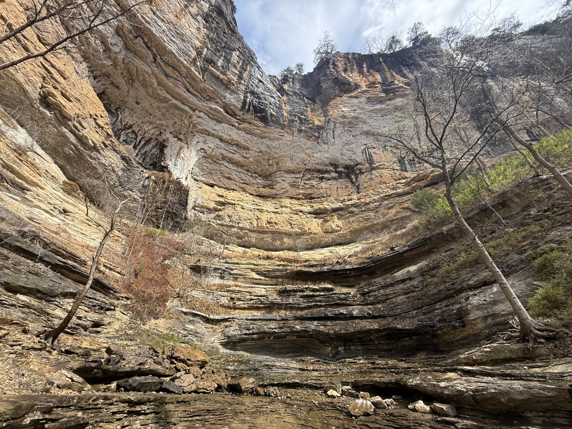
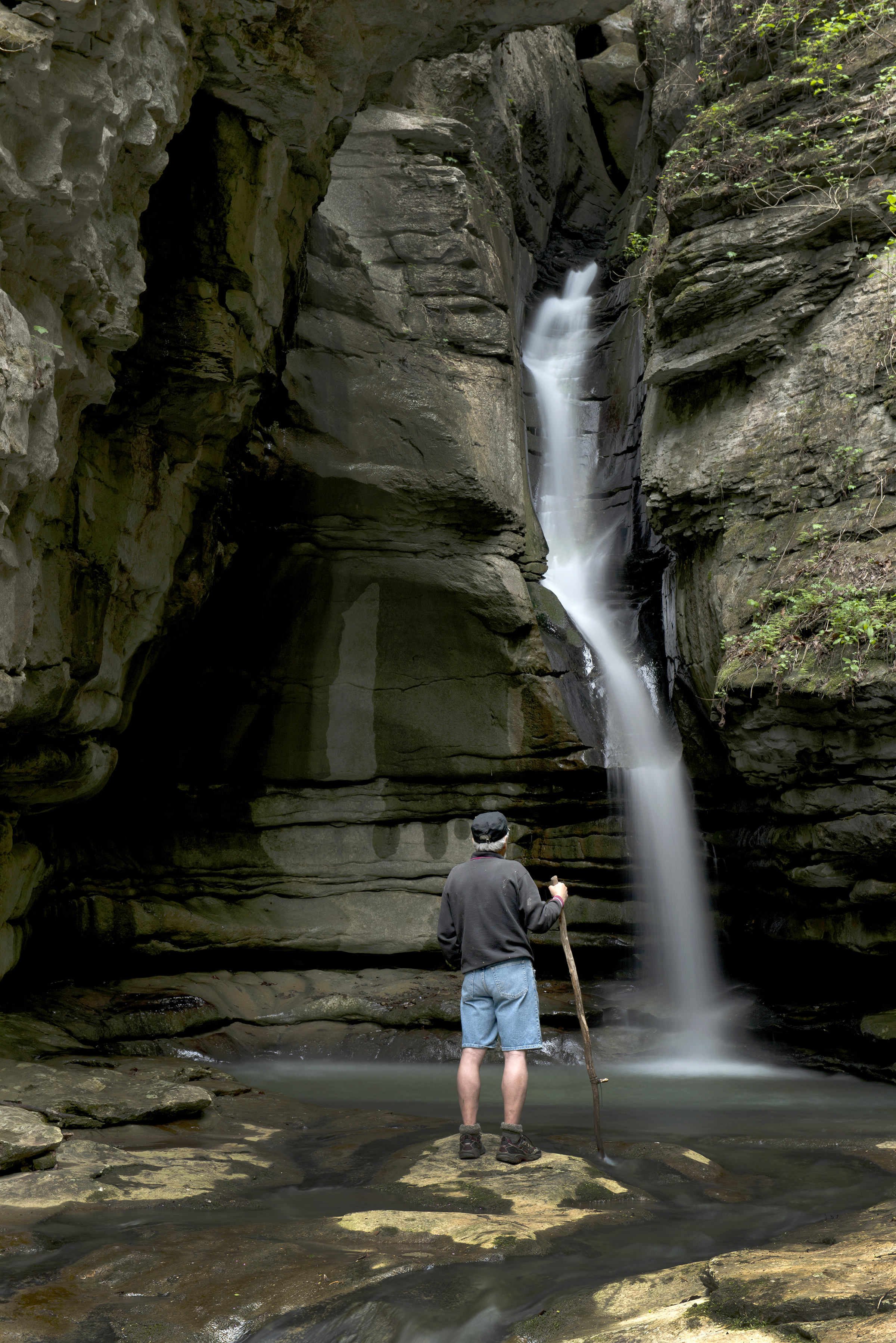
Hike to Hemmed-in Hollow
The picturesque Hemmed-in Hollow Falls cascades nearly 210 feet over rugged Ozark bluffs, making it the highest waterfall between the…
This is a steep, rugged, and highly strenuous trail leading into the remote Ponca Wilderness area. More search and rescue…

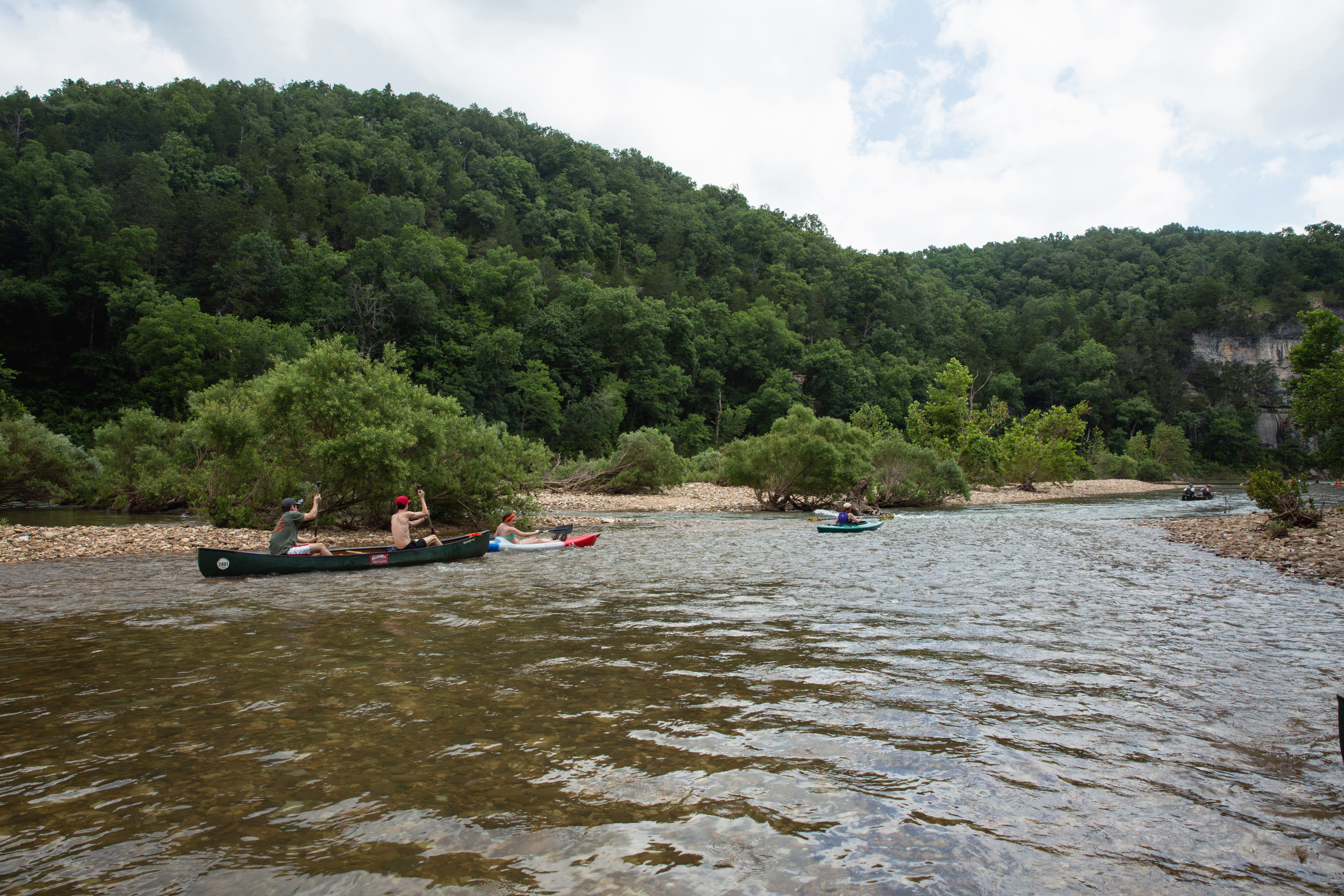
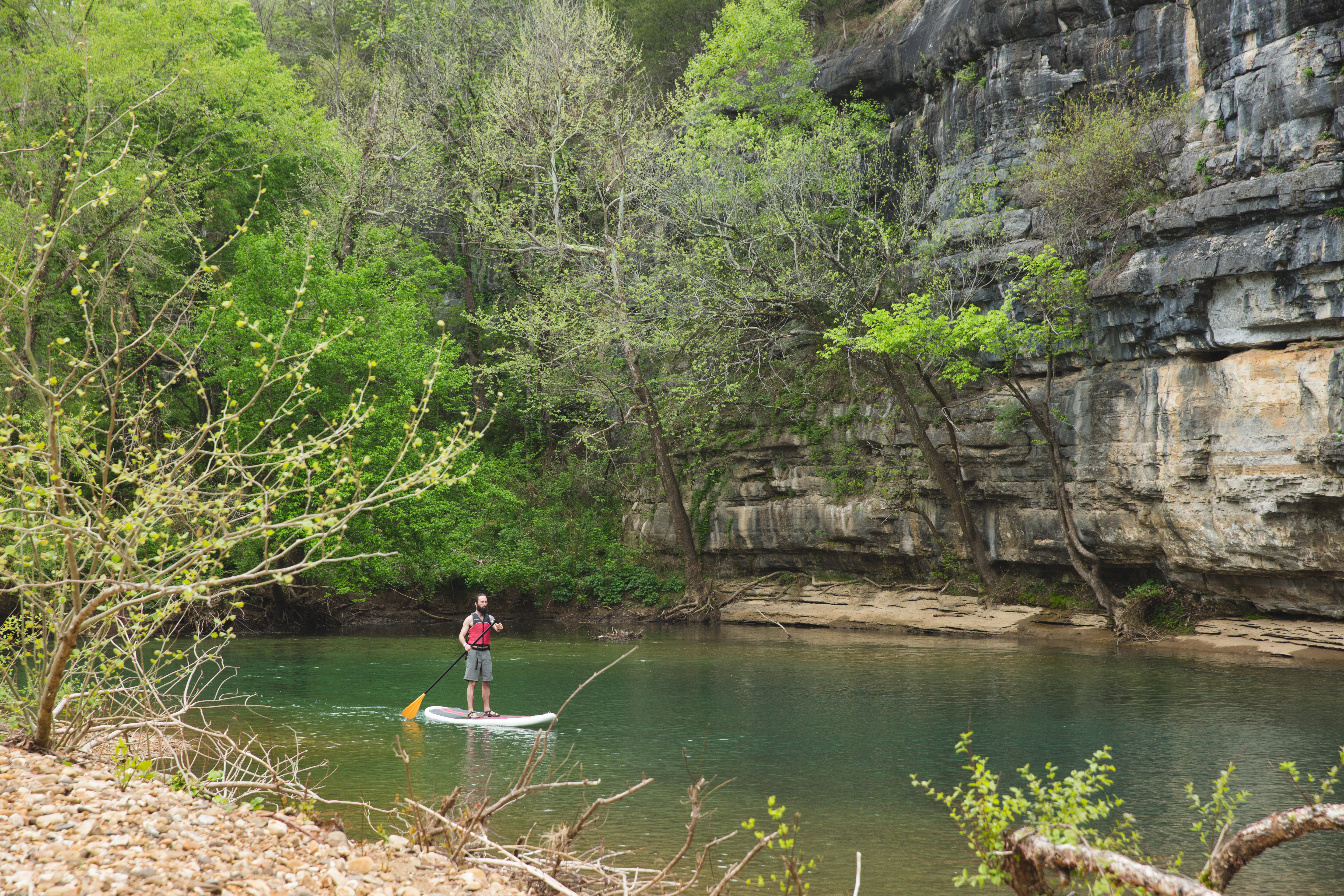
Paddling Gilbert to South Maumee
This reach is about 12 miles which makes it one of the less crowded sections of the river.
Paddle Kyles Landing to Erbie
Downstream from the hustle and bustle of Kyles Landing, one can find solitude among this comparatively quiet, 5.7-mile stretch of…
Downstream from the hustle and bustle of Kyles Landing, one can find solitude among this comparatively quiet, 5.7-mile stretch of…
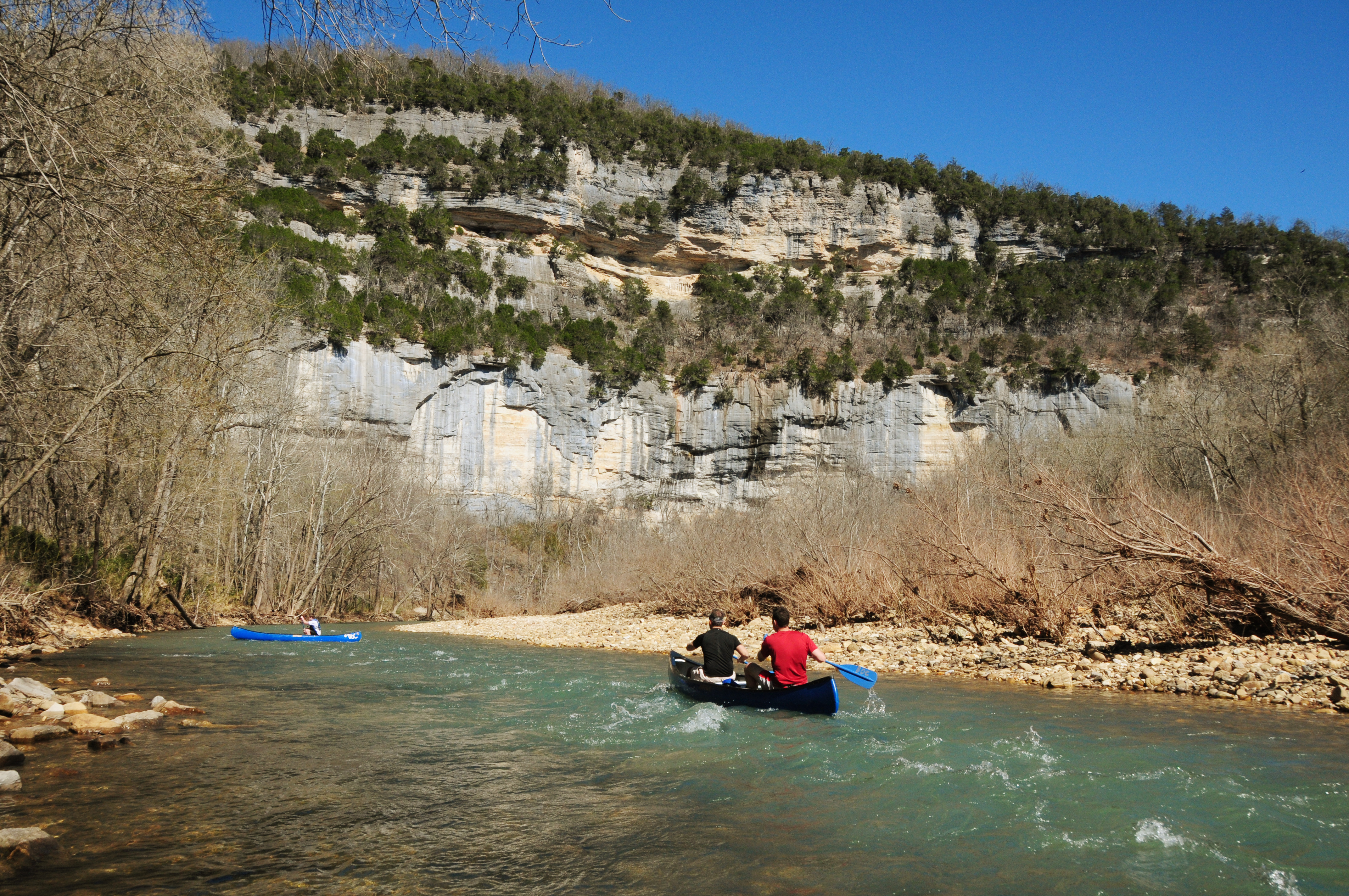
Paddle Steel Creek to Kyles Landing
Hands-down the most beloved and popular section of the upper river, the 8-mile section from Steel Creek to Kyles Landing…
The 8-mile stretch of river from Steel Creek to Kyles Landing meanders through the heart of the Ponca Wilderness past…
Hike the Cecil Cove Loop
This 7-mile loop winds through the wooded valley following Cecil Creek. The trail crosses Cecil Creek 5 times in the…
The Cecil Cove Trail begins near the historic Erbie Church, and begins a gentle descent down an old wagon road.…

Hike the Rush Mine Level Trail and Morning Star Interpretive Loop
This .25 mile to 1.5 mile trail offers beautiful views of Rush Valley and gives hikers an understanding of the…
Visitor Centers
Buffalo Point Visitor Contact Station
The Buffalo Point Visitor Contact Station is located about 3 miles off of Highway 14, 14 miles south of Yellville. Signs on Highway 14 indicate…
Hours: The Buffalo Point Visitor Contact Station is a ranger station where visitors can receive information about the area and shop at a small bookstore.
Steel Creek Ranger Station
Steel Creek Ranger Station is open in the summer on an intermittent basis as rangers are available. The Steel Creek Ranger Station is located in…
Hours: The station is staffed seasonally, and hours may vary depending on park events and interpretive programs. Please call before you visit to ensure that staff will be available to assist you: 870-861-2570.
Tyler Bend Visitor Center
The Tyler Bend Visitor Center is located about 2 1/2 miles off of Highway 65 between St. Joe and Marshall, Arkansas. Here visitors can get…
Hours: Tyler Bend Visitor Center is located about 2 miles off Hwy 65 between St. Joe, AR and Marshall, AR.
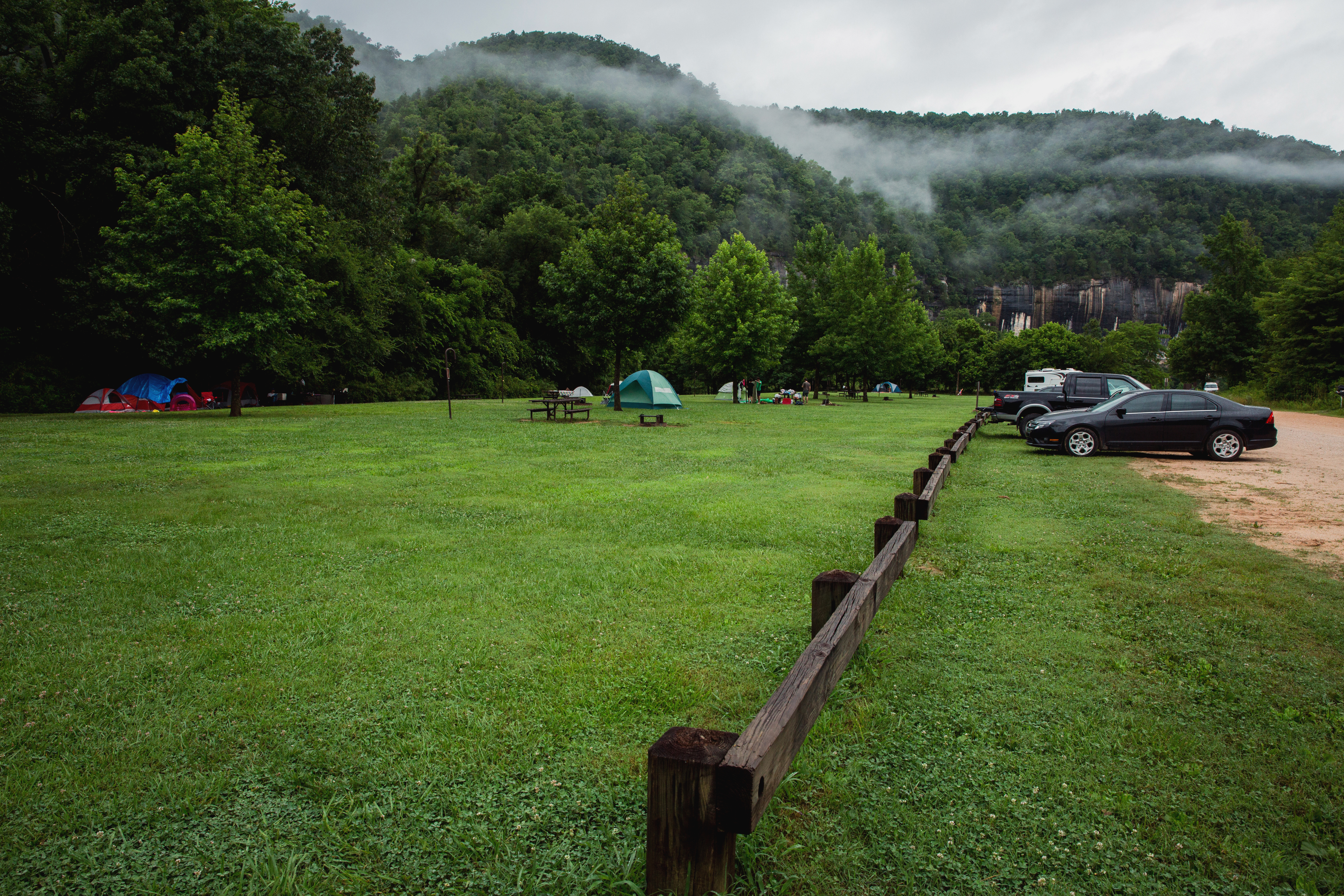
Campgrounds
Buffalo Point Campground
Buffalo Point Campground is the park's largest and most developed campground. It offers water and electrical hookups for RVs. Some sites at Buffalo Point are…
Carver Campground
Carver Campground has 8 tent-only sites. There are no electrical amenities, but flush restrooms and water are available from approximately March 15 through November 14.…
Erbie Campground
Erbie Campground is a first-come, first-served campground. Erbie has 14 primitive drive-in camp sites (suitable for tents too), 13 walk-in tent only sites, and 5…
Kyles Landing
Kyles Landing Campground is a tent-only, first-come, first-served campground located between Jasper and Ponca. Kyles Landing has 33 tent-only sites with no electrical amenities, but…
Ozark Campground
Ozark Campground has 31 drive-in and tent sites with no electrical amenities, but flush restrooms and water are available from approximately March 15 through November…
Rush Campground
Rush Campground has 12 tent only sites with no electrical amenities and no flush restrooms. Reservations are required to camp at Rush Campground through recreation.gov…
South Maumee
South Maumee Campground is a campground in the lower district of the Buffalo River. There are no amenities at South Maumee. There are no designated…
Spring Creek Campground
Spring Creek Campground is a first come, first serve campground near Harriet, Arkansas. Spring Creek has 12 tent only sites with no electrical amenities, no…
Steel Creek Campground
Steel Creek Campground has 26 tent-only sites and 13 sites for campers with horses/stock animals (six people and six stock animals allowed per site). There…
Tyler Bend Campground
Tyler Bend Campground is a developed campground in the middle district of the park. It has 27 drive-in sites, 10 walk-in tent sites, 5 group…
Woolum
Woolum Campground is a large open field at the Woolum access to the Buffalo River near St. Joe, Arkansas. There are no amenities at Woolum.…
🗺️ Guided Tours & Experiences
Discover Buffalo National River with expert-led tours
We earn a commission if you make a purchase, at no additional cost to you.
🏨 Find Hotels Near Buffalo National River
Compare accommodation options for your visit
We earn a commission if you make a purchase, at no additional cost to you.
More Parks in Arkansas
Plan Your Trip From a Nearby City
Find national parks near these cities, including Buffalo National River.