
About Missouri National Recreational River
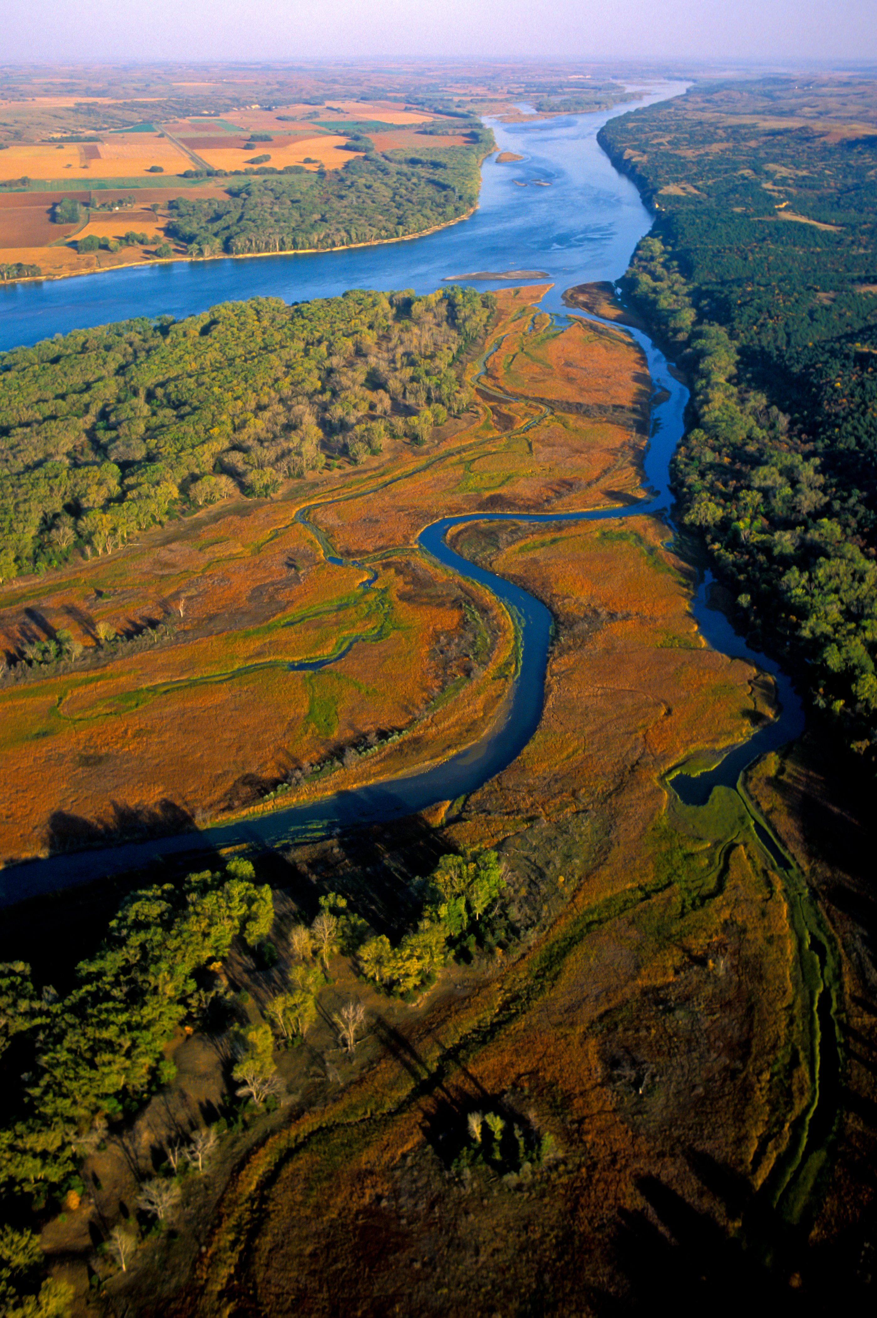
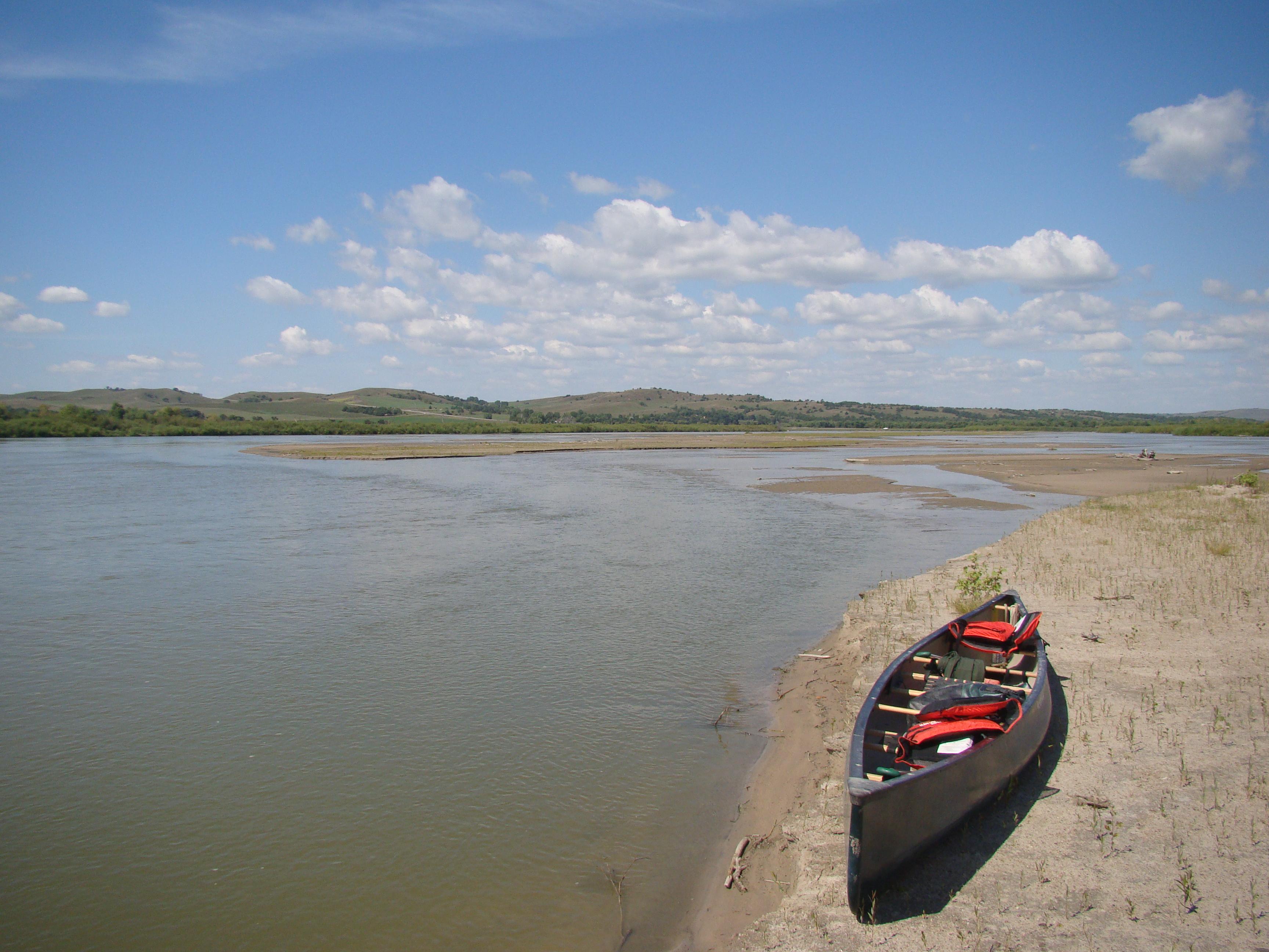
Imagine a 100-mile stretch of North America's longest river, a vestige of the untamed American West. The Missouri National Recreational River is where imagination meets reality. Two free flowing stretches of the Missouri make up the National Park. Relive the past by exploring the wild, untamed and mighty river that continues to flow as nature intended.
Plan a Visit
Core visitor information on this page is sourced from the National Park Service. NPD proximity sections use NPS reference coordinates and straight-line distance. Local source bundle updated Sep 27, 2026. View the official NPS page.
Weather & Conditions
Rapid weather changes are common along the Missouri National Recreational River corridor. Variations from season to season and from year to year are great. Characteristics of the climate are hot summers and cold winters. Sunshine is abundant, particularly in the summer months. Average annual rainfall is 25 inches. Thunderstorms can…
NPS Reference Location
Park state / territory membership: South Dakota, Nebraska. This map uses the National Park Service reference coordinate. It may represent an administrative or reference point rather than a park entrance, trailhead, visitor center, or the nearest access point. Use the official NPS directions below when planning travel.
Operating Hours
The entire park includes the 39-Mile District and 59-Mile District. Both districts are open 24 hours, seven days a week.
Activities
Getting There
The National Park Service headquarters is located at 508 East Second Street in Yankton, South Dakota.
View Official DirectionsContact & Address
The NPS-listed address may be an administrative office, visitor center, mailing/contact location, or other park facility rather than a park entrance.
Topics & Themes
Things To Do
Hunting in the MNRR
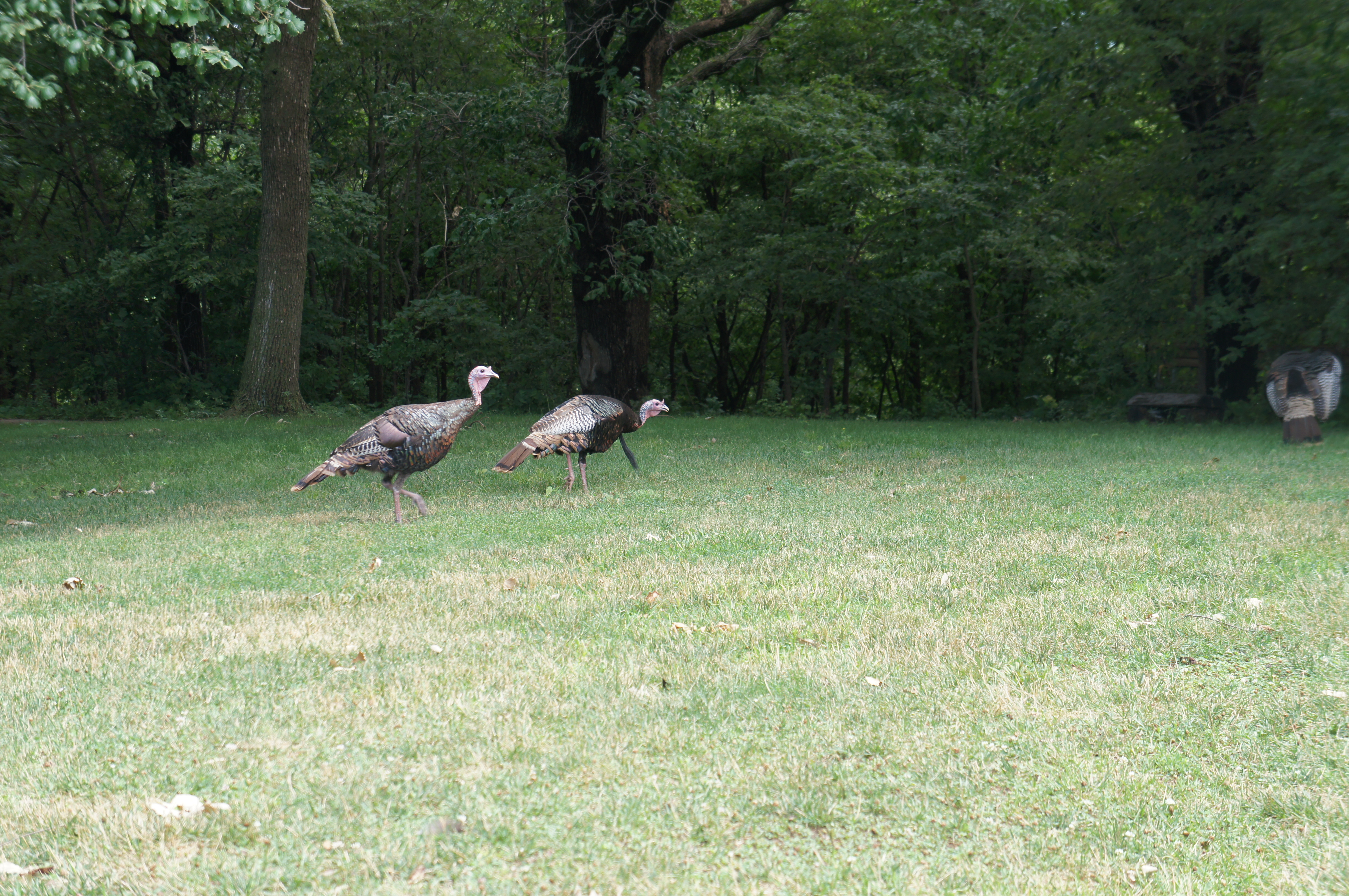
Hunting & trapping is permitted in Bow Creek and Goat Island Recreation Areas in accordance with site-specific regulations.
Wildlife Watching in the MNRR
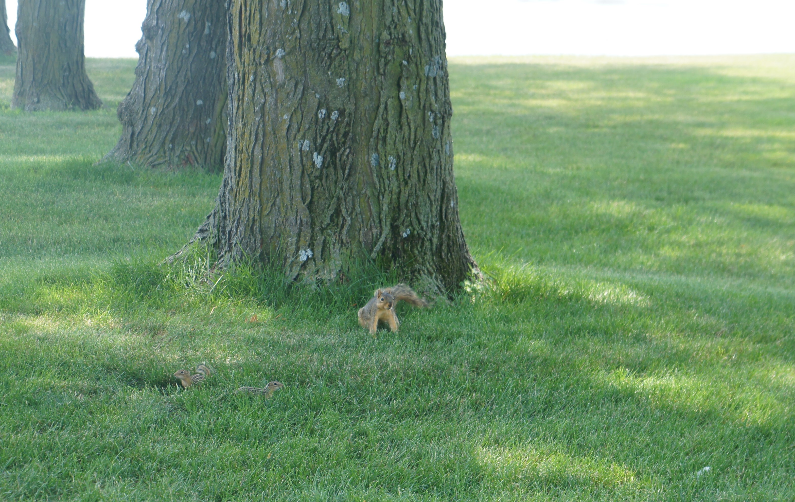
Missouri National Recreational River is a great place to go to observe mammals in their native and wild habitat. Wild…
Stargaze at Spirit Mound
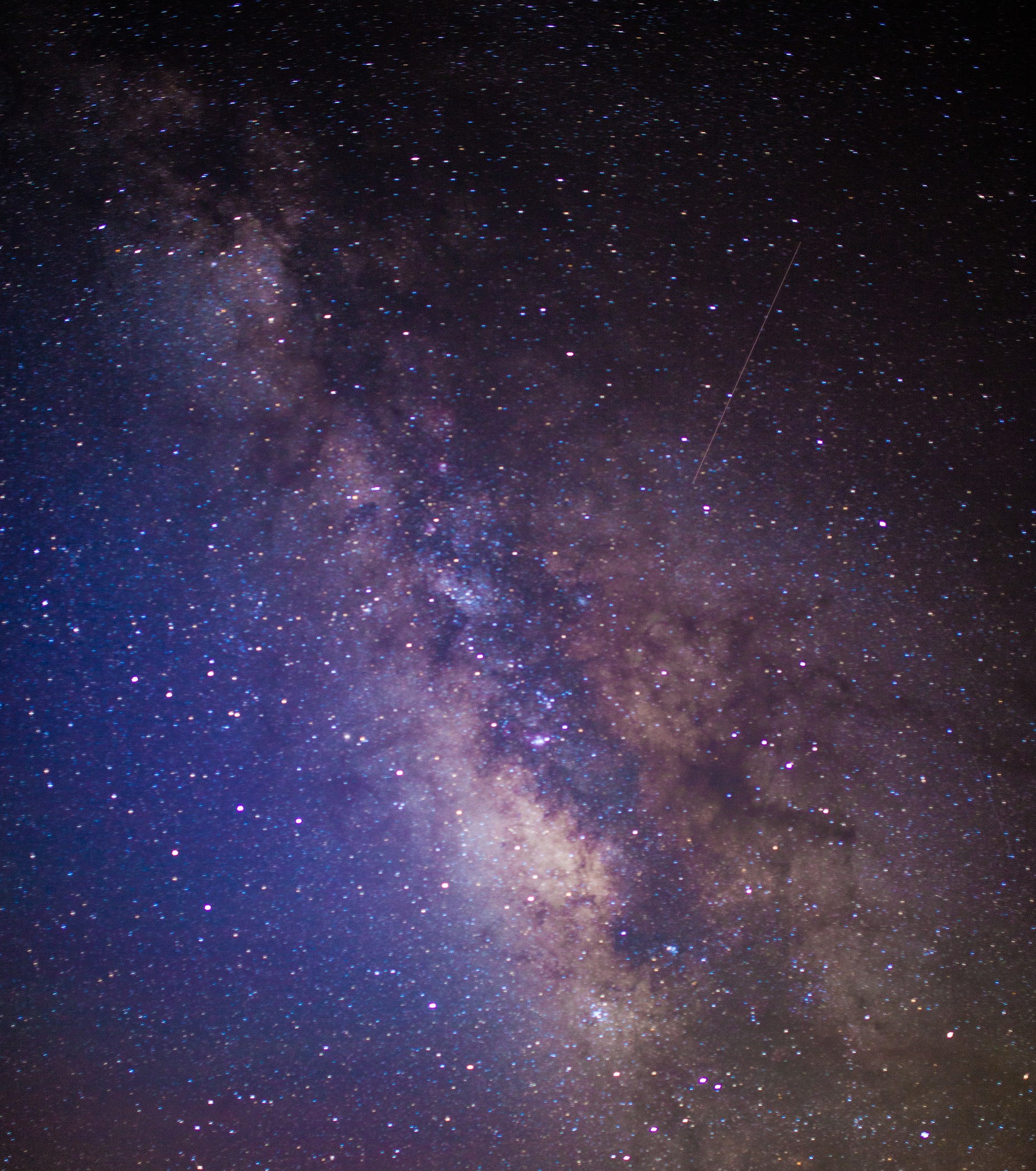
stargaze
Fishing in the MNRR
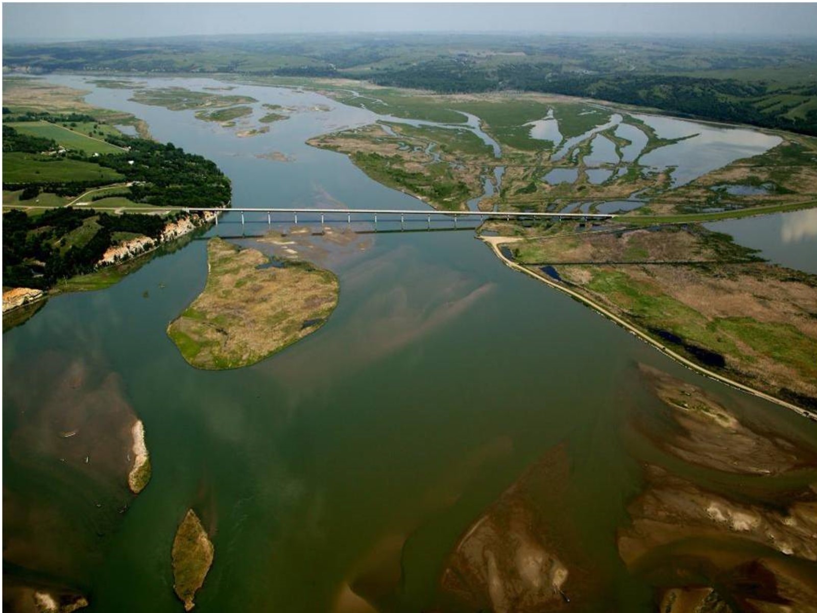
Fishing is a main recreational activity in the Missouri National Recreational River.
Backcountry Camping in the MNRR
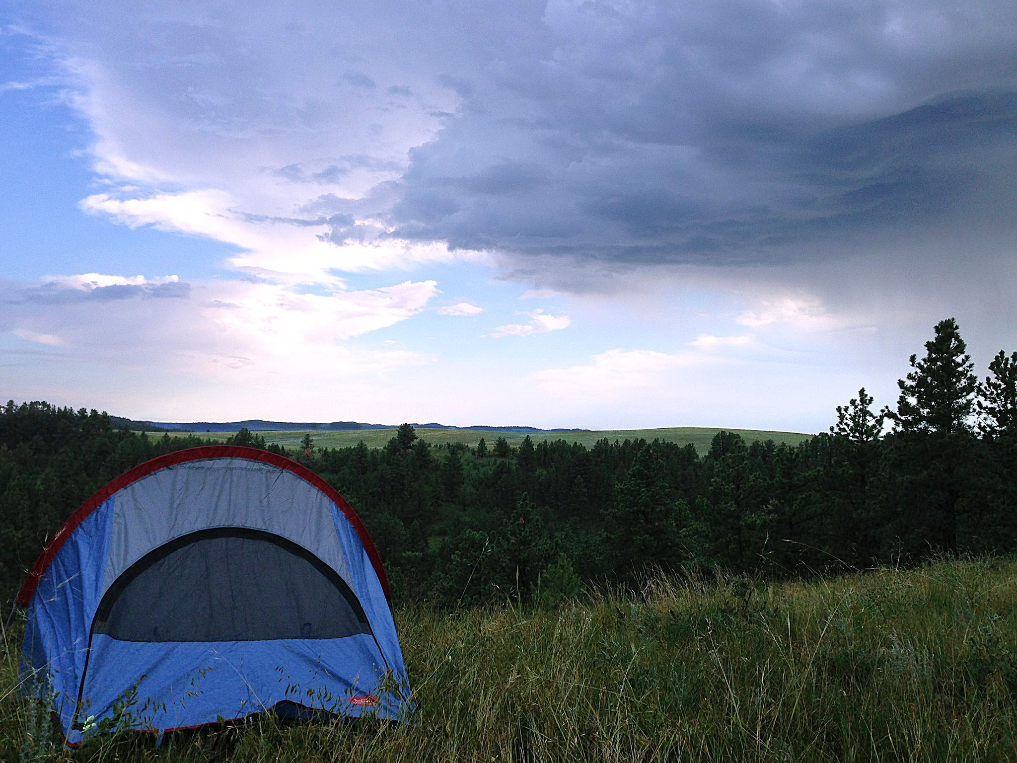
Missouri National Recreational River offers primitive, Leave-No-Trace camping available at Bow Creek, Green Island, and Goat Island Recreation Areas.
Paddle the MNRR
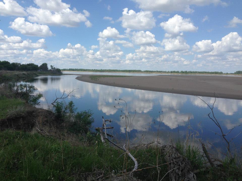
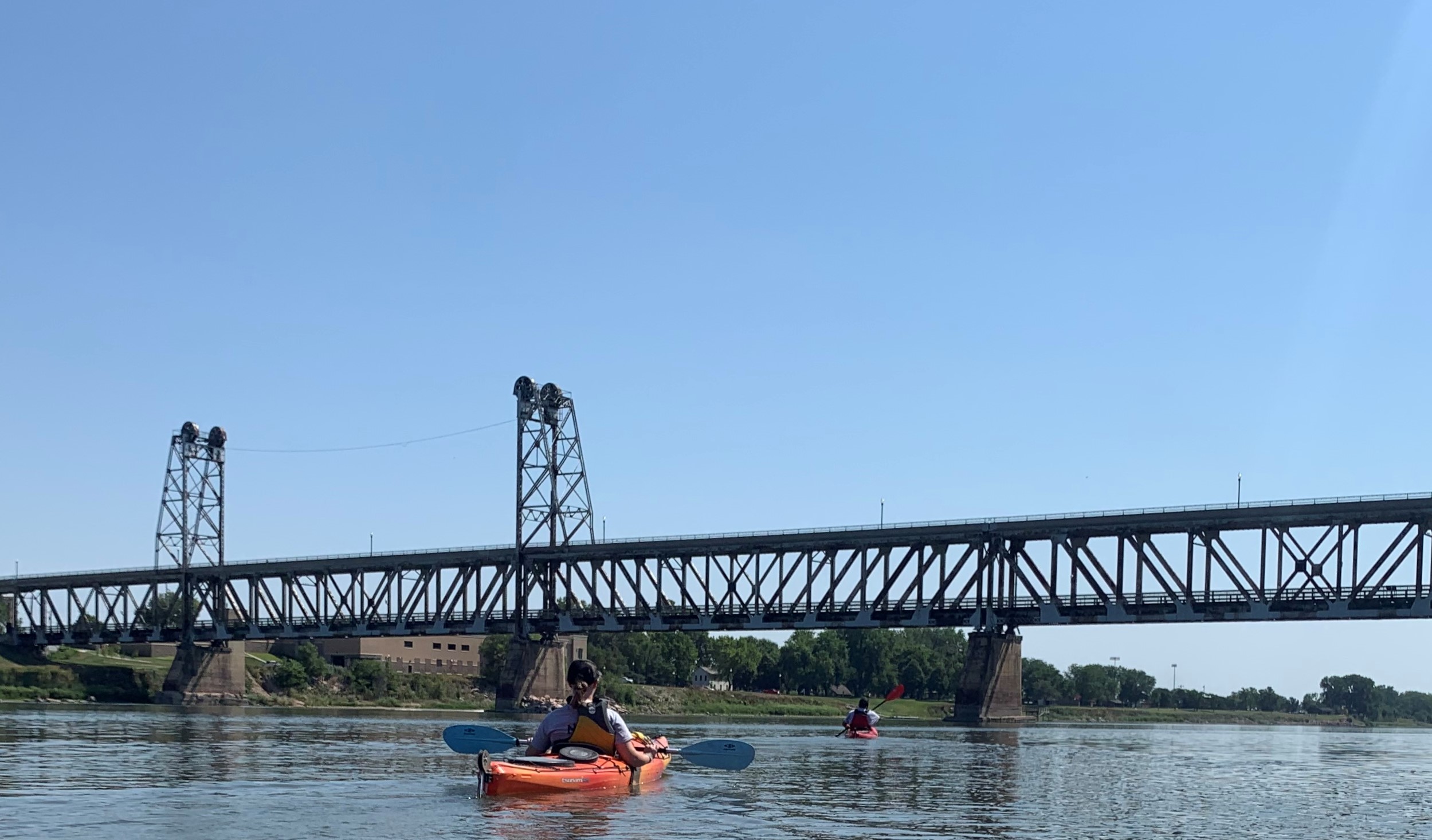
Paddle the two free-flowing sections of the Missouri, North America's longest river, a vestige of the untamed American West.
More Things to Do
Additional activities and experiences from the National Park Service.
Boating in the Missouri NRR
Whether you are fishing or enjoying the scenery and wildlife, boating is a great way to experience the river.
Biking in the MNRR
Various partners have different biking paths.
Become a MNRR Junior Ranger
Do you care about exploring, learning about, and protecting the Missouri River? If yes, become a Junior Ranger! There are many ways…
Watch "River of Change"
This 18-minute film tells the story of Missouri National Recreational River. Learn about the park's wildlife as well as the history of…
Tour the Mobile Ranger Station
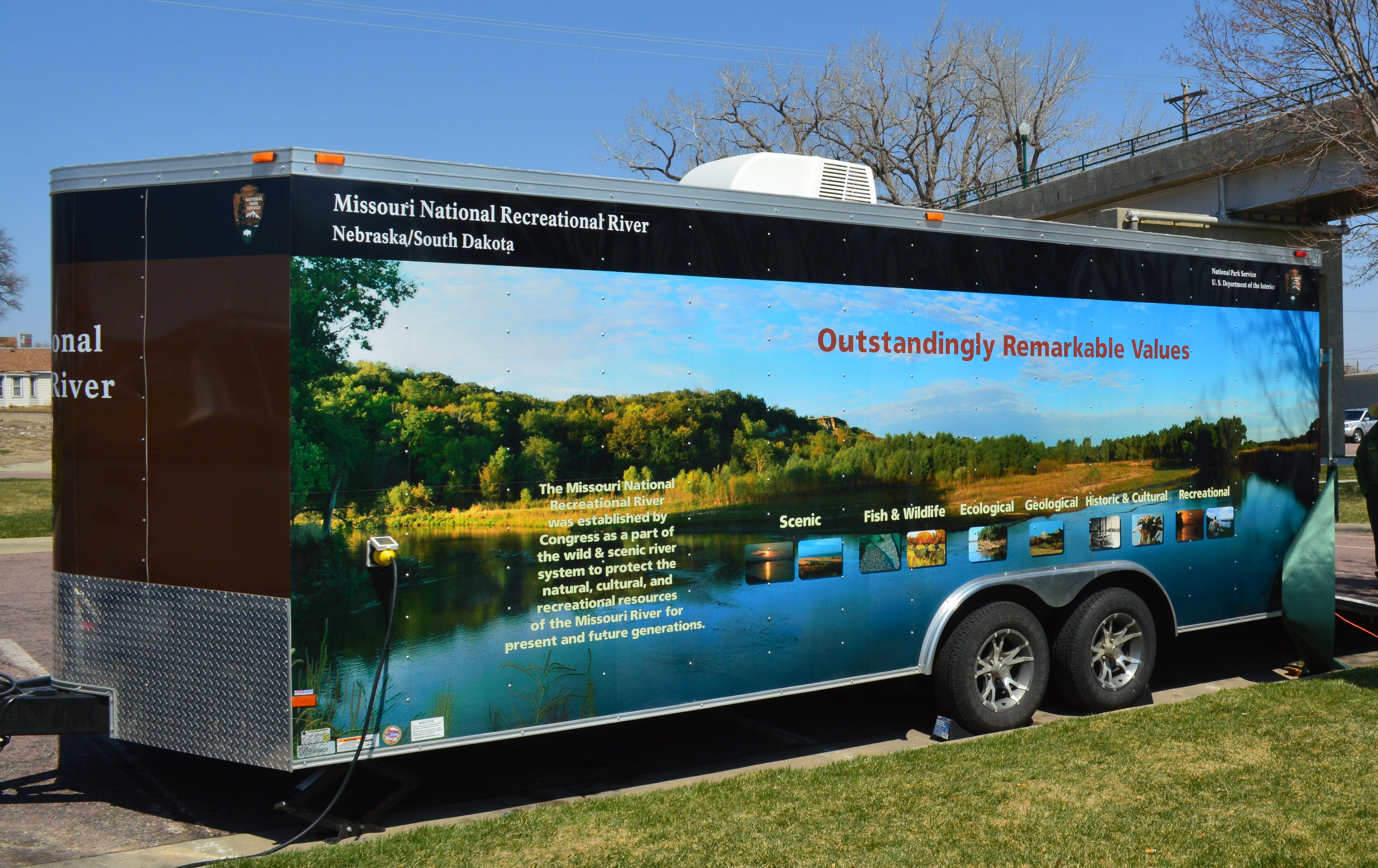
The Mobile Ranger Station travels to schools, special events and programs and is often set up in various sites along the MNRR.…
Walk the Historic Meridian Bridge
The bridge allows you to cross from South Dakota to Nebraska while offering splendid views of the Missouri National Recreational River. The…
Explore the Middle Missouri with Lewis and Clark
Explore the Missouri River through the perspective of Lewis and Clark with these notable places within the MNRR.
Visit Mulberry Bend Overlook
Great view of the river and sandbars from the overlooks. A paved trail takes visitors from the parking lot to several interpretive…
Visitor Centers
Missouri National Recreational River Headquarters
The Missouri National Recreational River has a visitor contact station located inside their headquarters building in Yankton, South Dakota. Information about the park including junior…
Campgrounds
Bow Creek Primitive Camping
Primitive, Leave No Trace camping is allowed and free. Camp only in designated sites marked with brown camping signs and metal fire rings. Please call…
Green Island Primitive Camping
Green Island has five primitive tent campsites with fire rings. Two isolated tent sites on the east side of the island & three adjacent sites…
Goat Island Primitive Camping
Two designated tent camping only areas. The first (southern) campground area is in the process of being established. The second (northern) is targeted to be…
Nearby National Park Service Sites
These sites are ordered by straight-line distance between NPS reference coordinates. This is useful for comparison, but it is not road mileage. Trails, parkways, rivers, and distributed units may extend far from their reference point.

Nearby Cities for Trip Planning
These cities are ordered by straight-line distance from the NPS reference coordinate. They are comparison starting points, not official park gateways or road-distance estimates. Trails and other distributed units may extend far beyond this reference point.
🗺️ Guided Tours & Experiences
Discover Missouri National Recreational River with expert-led tours
We earn a commission if you make a purchase, at no additional cost to you.
🏨 Search Lodging for Missouri National Recreational River
Review lodging results matching this park or site name
We earn a commission if you make a purchase, at no additional cost to you.