
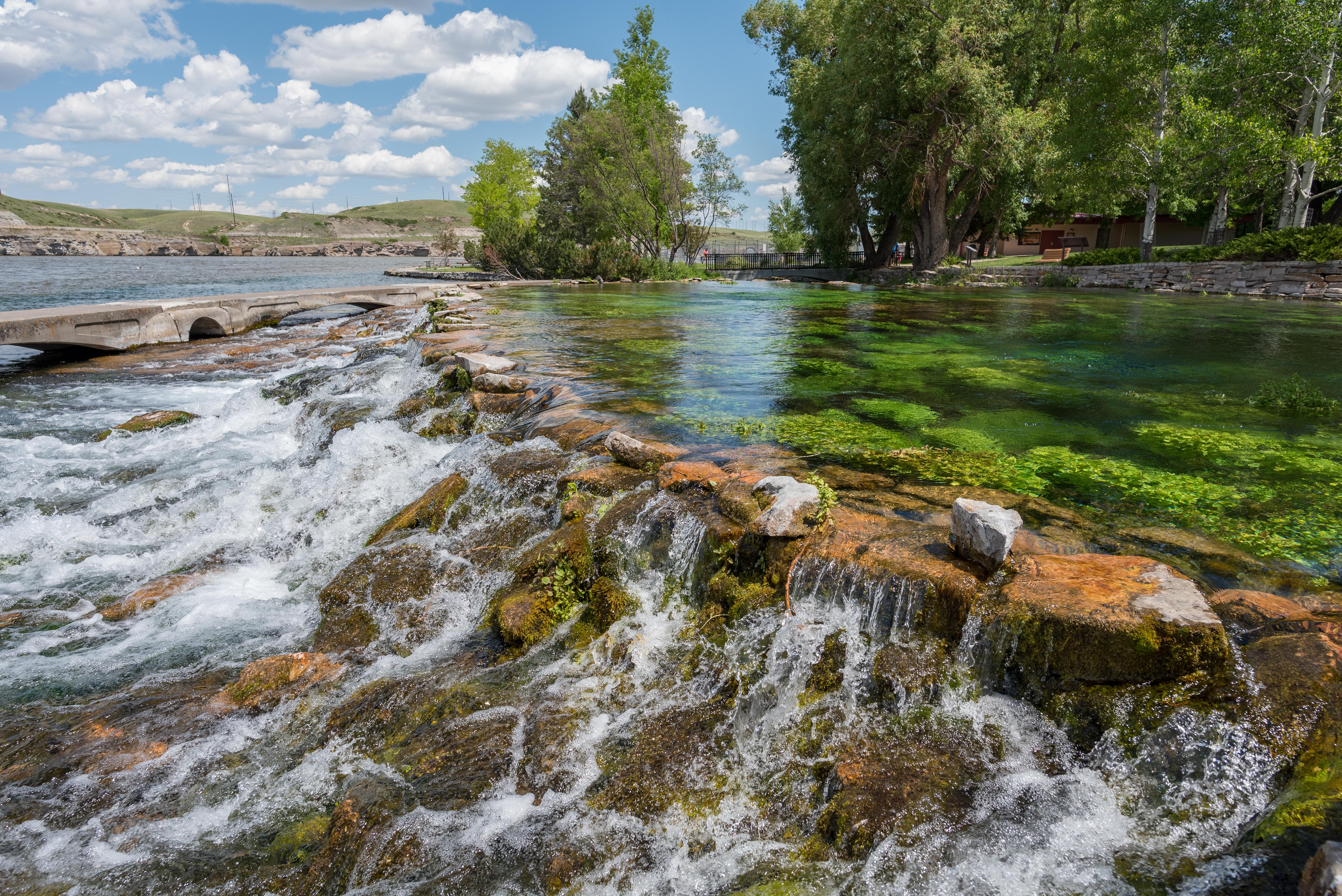


About Lewis & Clark National Historic Trail
The Lewis and Clark National Historic Trail winds nearly 4,900 miles through the homelands of more than 60 Tribal nations. It follows the historic outbound and inbound routes of the Lewis and Clark Expedition of 1803-1806 from Pittsburgh, Pennsylvania to the Pacific Ocean. Follow the trail to find the people, places, and stories that make up the complex legacy of the expedition.
Plan a Visit
Core visitor information on this page is sourced from the National Park Service. NPD proximity sections use NPS reference coordinates and straight-line distance. Local source bundle updated Sep 27, 2026. View the official NPS page.
Weather & Conditions
In winter, watch for ice on trails and sidewalks. In summer, make sure to drink plenty of water and wear sunscreen on hot days. Keep in mind the trail covers 16 states, use www.weather.gov to look up the specific area you plan to visit.
NPS Reference Location
Park state / territory membership: Iowa, Idaho, Illinois, Indiana, Kansas, Kentucky, Missouri, Montana, Nebraska, North Dakota, Ohio, Oregon, Pennsylvania, South Dakota, Washington, West Virginia. This map uses the National Park Service reference coordinate. It may represent an administrative or reference point rather than a park entrance, trailhead, visitor center, or the nearest access point. Use the official NPS directions below when planning travel.
Operating Hours
Lewis and Clark National Historic Trail Visitor Center is located on the Missouri River in Omaha, Nebraska.
Activities
Getting There
Lewis and Clark National Historic Trail Headquarters and Visitor Center is located on the first floor of the National Park Service Interior Region 3,4,5 Office. We are right on the Missouri River next to the Bob Kerrey Pedestrian Bridge in downtown Omaha, NE.
View Official DirectionsContact & Address
The NPS-listed address may be an administrative office, visitor center, mailing/contact location, or other park facility rather than a park entrance.
Topics & Themes
Things To Do

Hanford: Bike and Walk the Sacagawea Heritage Trail
This recreational trail along the Columbia River is a perfect way to explore the Tri-Cities on foot and bike. Interpretive…
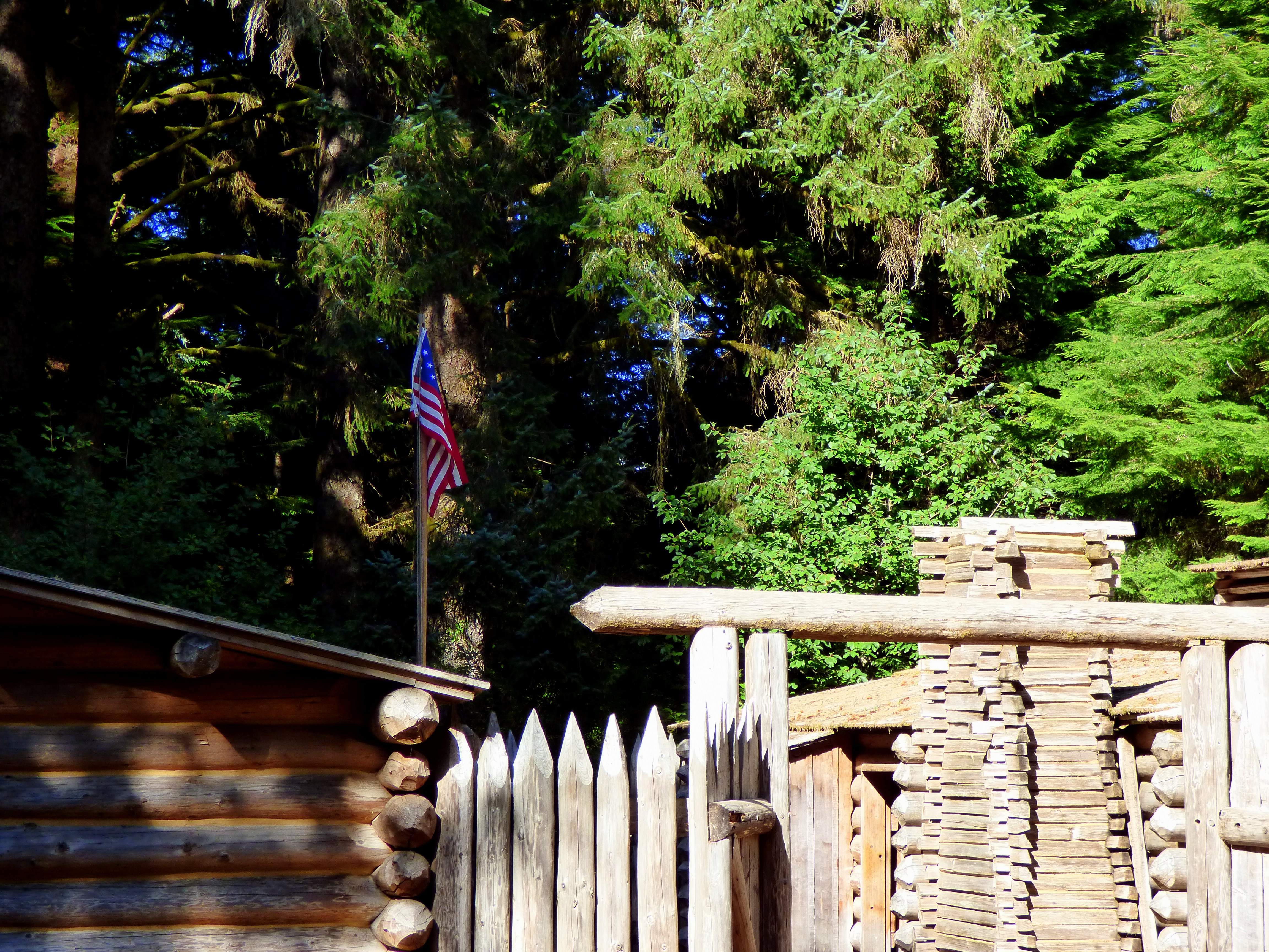
Experience History Come Alive at Fort Clatsop
Visit the replica fort and visitor center to learn more about the Lewis & Clark expedition and local native culture.…
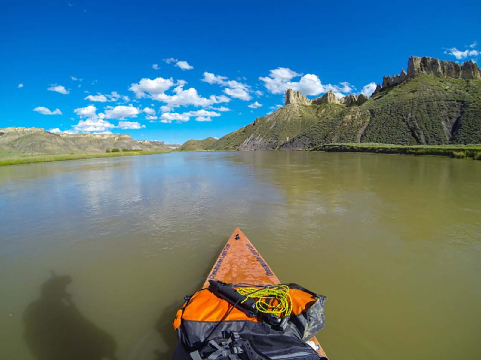
Water Trails
Lewis and Clark’s legendary expedition would not have been possible had they not been able to navigate some of North…
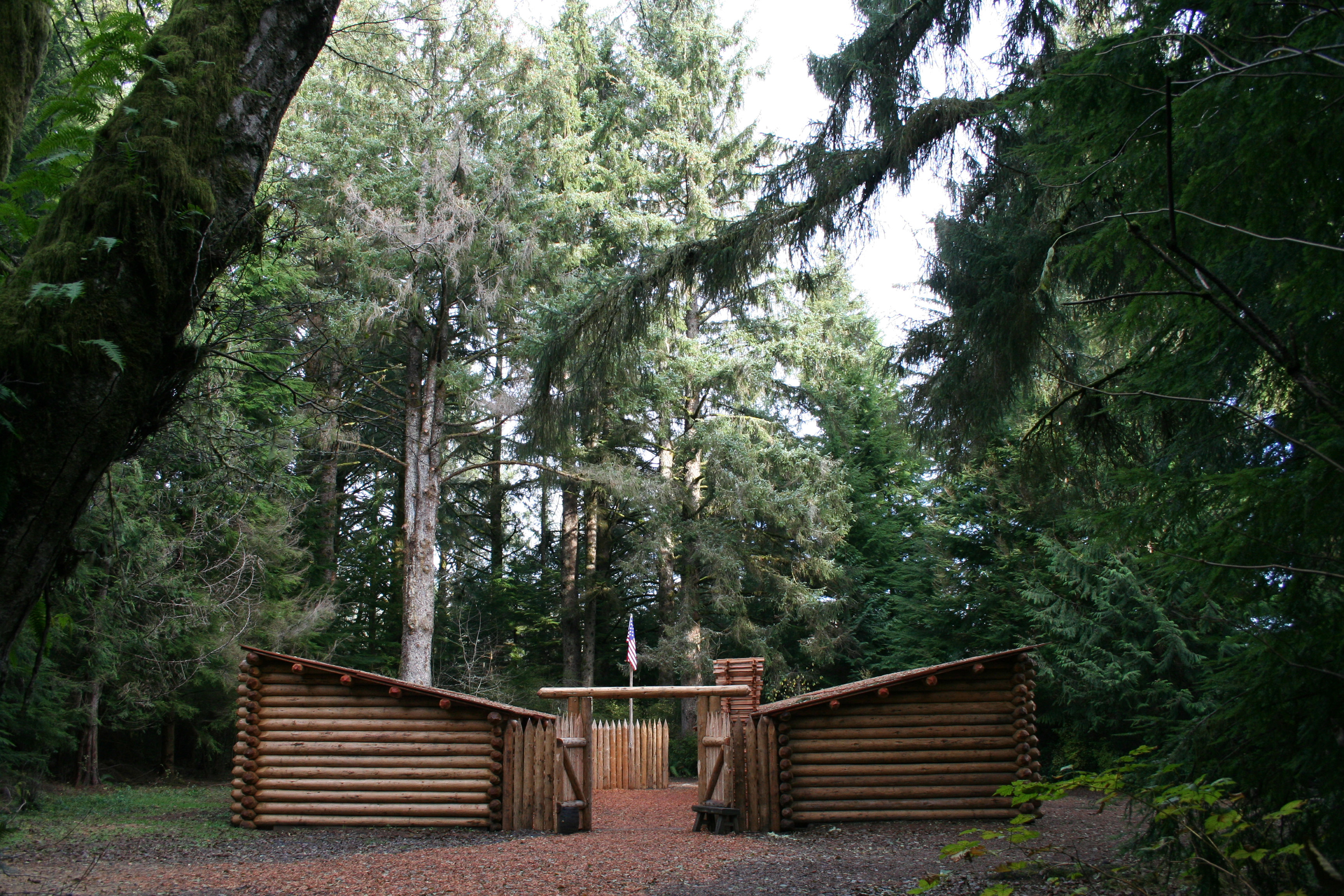
Fort Clatsop Audio Tour
Embark on a voyage of discovery as you learn about the historical homelands of the Clatsop people, and the winter…

Stargaze at Spirit Mound
stargaze
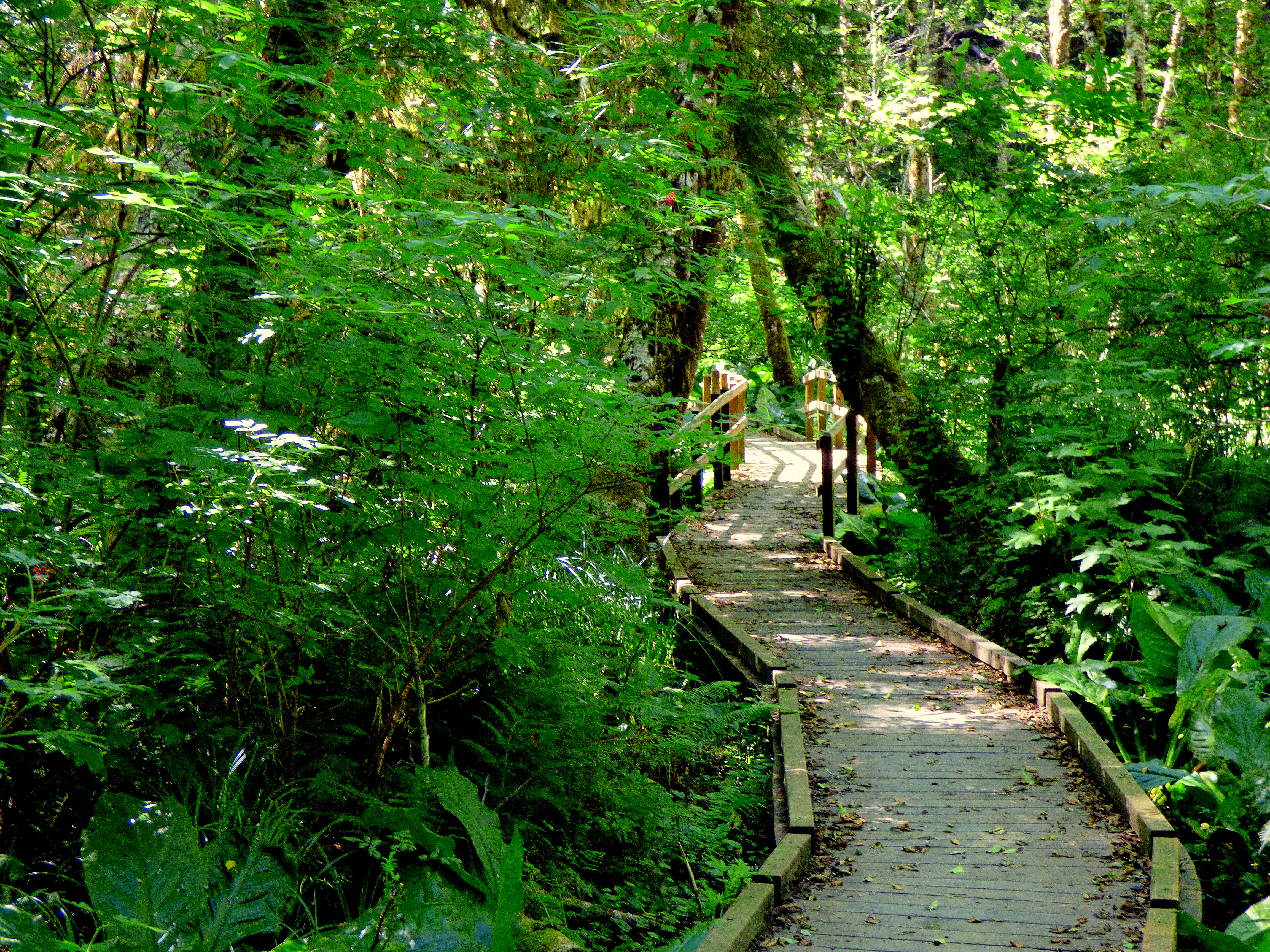
South Slough Trail
The South Slough Trail is a three mile loop that can be accessed from the Fort to Sea Trailhead or…
More Things to Do
Additional activities and experiences from the National Park Service.
Clay Pit Pond Trail
The Clay Pit Pond is a half mile loop primitive trail with access at the Fort Clatsop Visitor Center picnic area. It…