
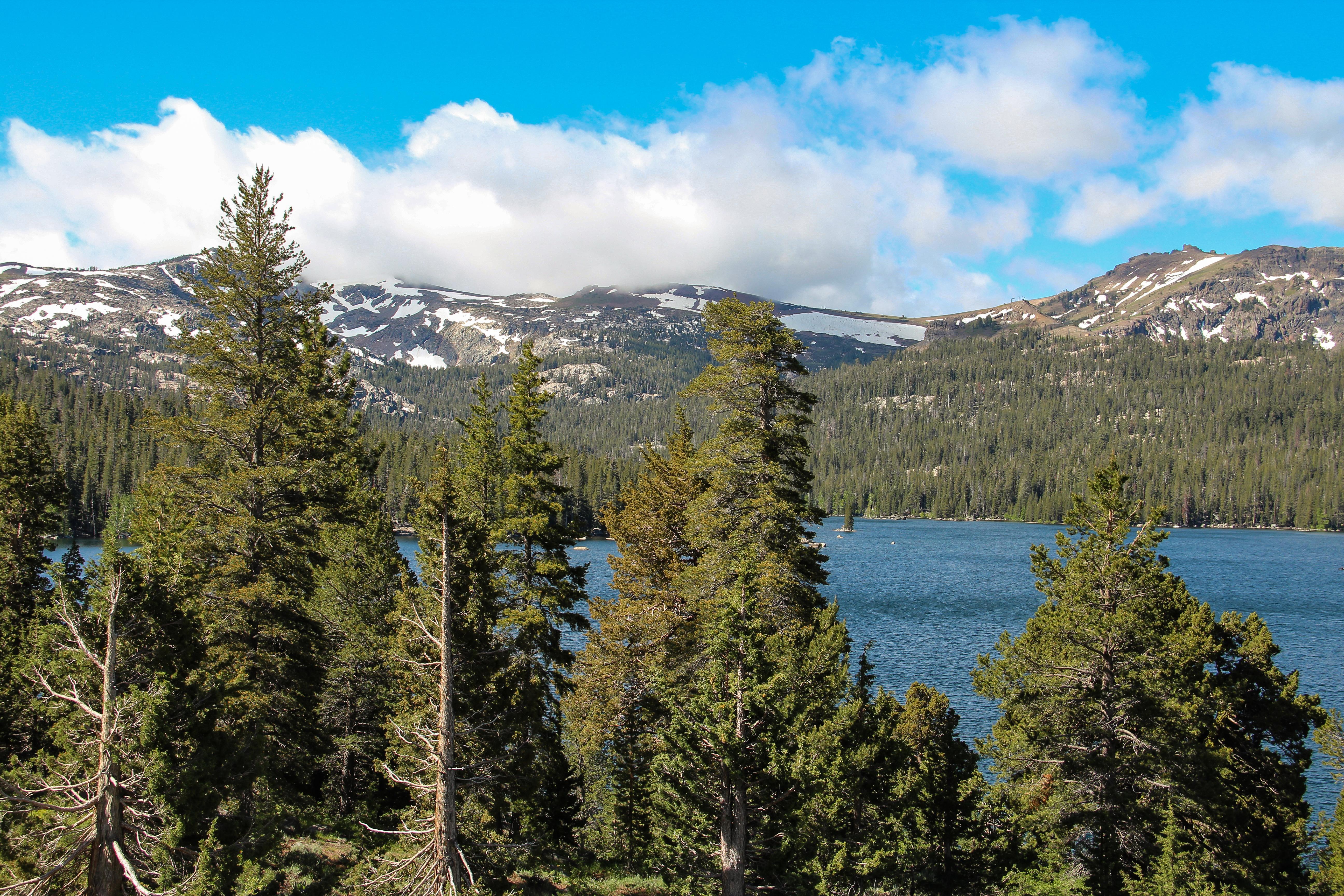
About California National Historic Trail
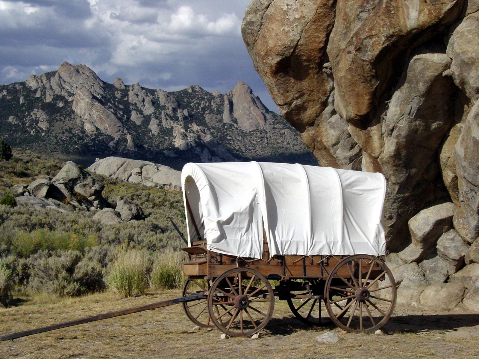
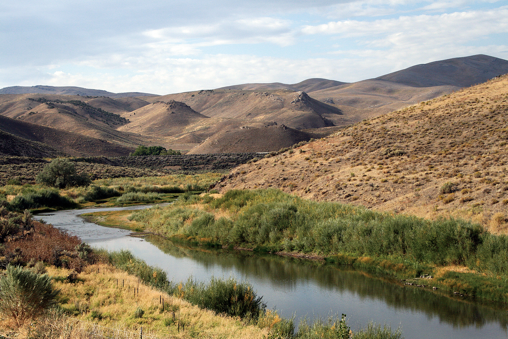
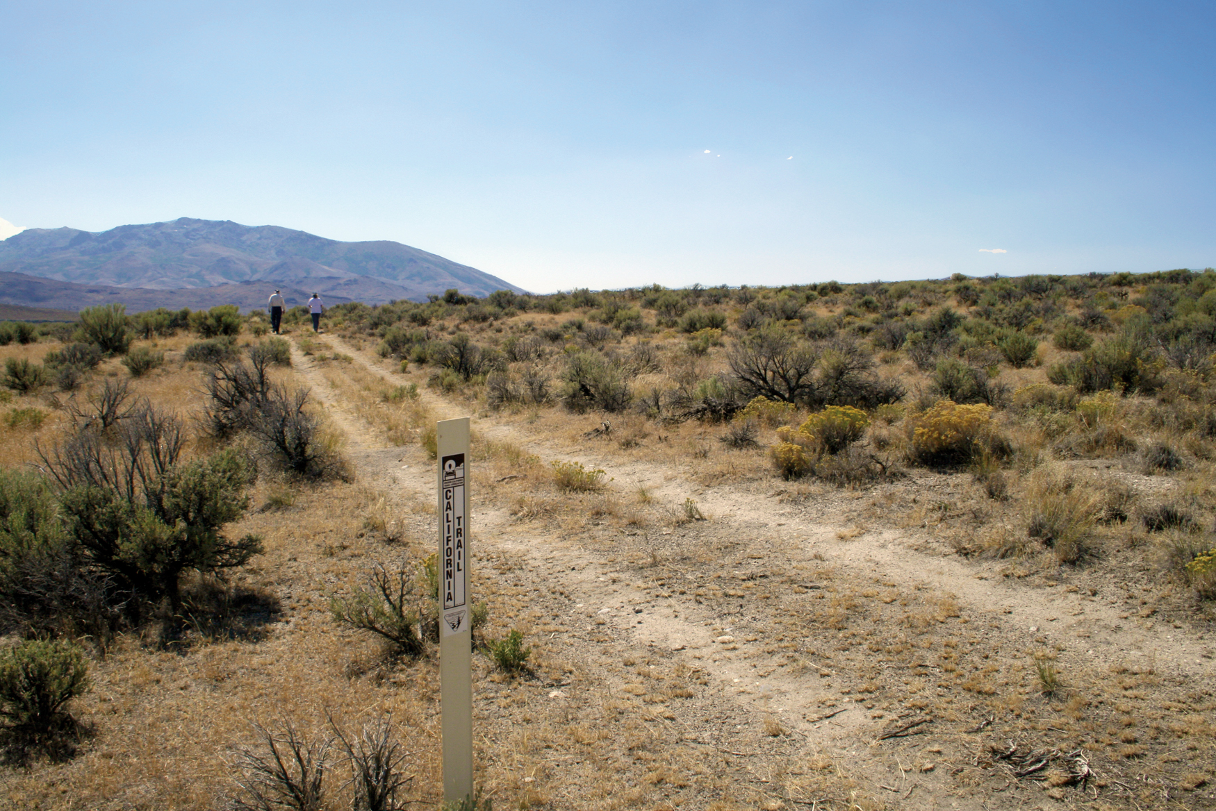
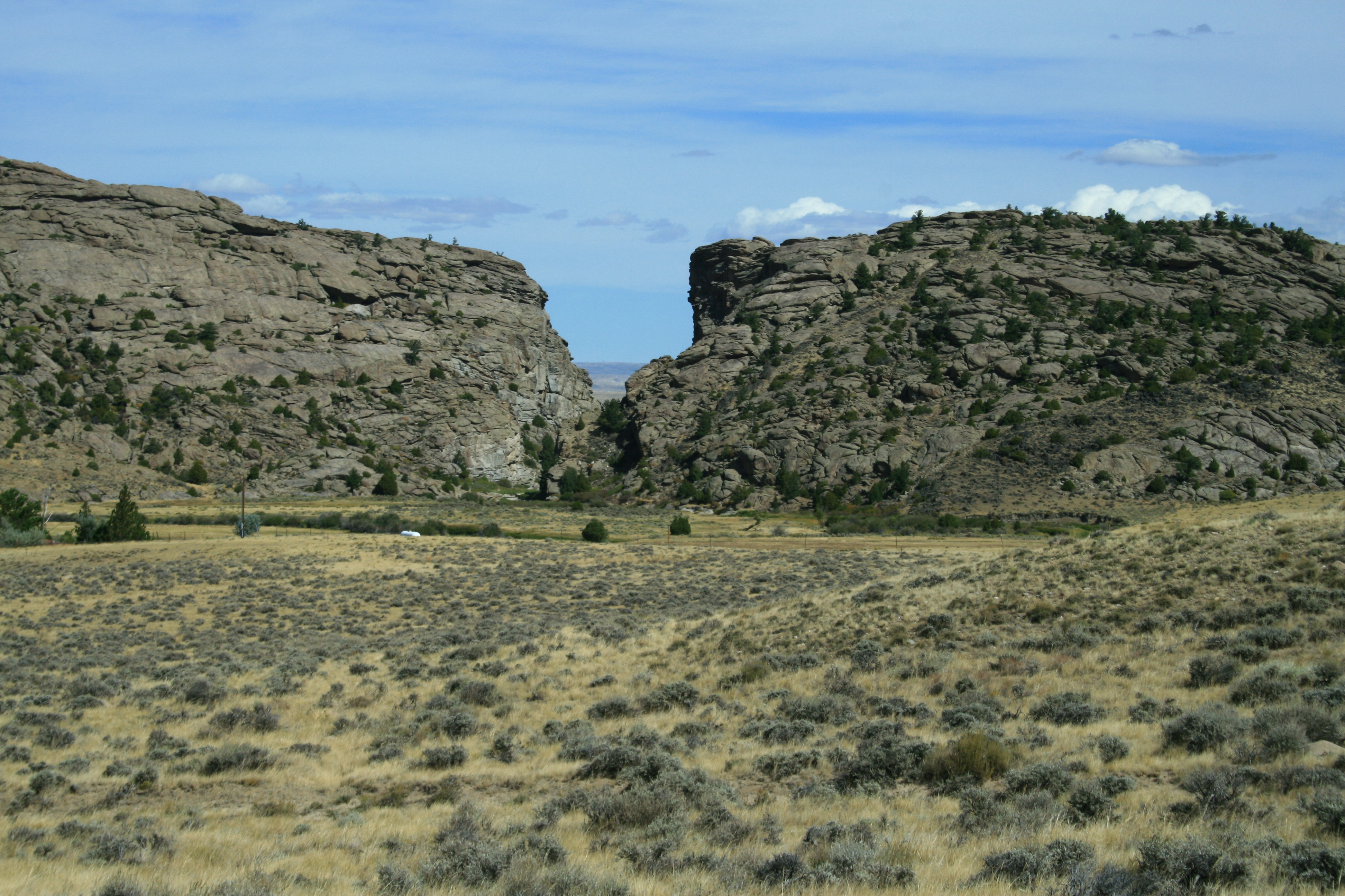
Follow in the footsteps of over 250,000 emigrants who traveled to the gold fields and rich farmlands of California during the 1840s and 1850s: the greatest mass migration in American history. The California National Historic Trail is over 5,000 miles long and covers portions of 10 states. Step into history along more than 1,000 miles of ruts and traces from travelers and their overland wagons.
Plan a Visit
Core visitor information on this page is sourced from the National Park Service. NPD proximity sections use NPS reference coordinates and straight-line distance. Local source bundle updated Sep 27, 2026. View the official NPS page.
Weather & Conditions
Due to the length of the California National Historic Trail, be sure to consult local weather sources for the region you'll be visiting. Check out the forecast with the National Weather Service and search for the area you'd like to visit: weather.gov
NPS Reference Location
Park state / territory membership: California, Colorado, Idaho, Kansas, Missouri, Nebraska, Nevada, Oregon, Utah, Wyoming. This map uses the National Park Service reference coordinate. It may represent an administrative or reference point rather than a park entrance, trailhead, visitor center, or the nearest access point. Use the official NPS directions below when planning travel.
Operating Hours
The California National Historic Trail is not a clearly marked hiking trail. Instead it is a corridor that passes through communities, urban areas, public lands, and Wilderness. The route travels across a variety of land ownerships and management, including private land. Each location varies as to the hours of operation and access. Please contact individual trail sites before your visit for more information.
Activities
Getting There
Those portions of the California National Historic Trail authorized by Congress include nearly 2,000 miles of historic trail that was once the primary "road" taken by farmers, enterprising business managers, gold-seekers, and fortune hunters who chose to make a new life on the California frontier. The route passes through ten states from Missouri to California.
View Official DirectionsContact & Address
The NPS-listed address may be an administrative office, visitor center, mailing/contact location, or other park facility rather than a park entrance.
Topics & Themes
Things To Do
Become a California Trail Junior Ranger
Learn about the California Trail and earn your junior ranger badge! This activity can be completed virtually or after visiting…

Birdwatching on the California Trail
Emigrants on the California Trail were introduced to many new plants and animals as they made their journey west. With…
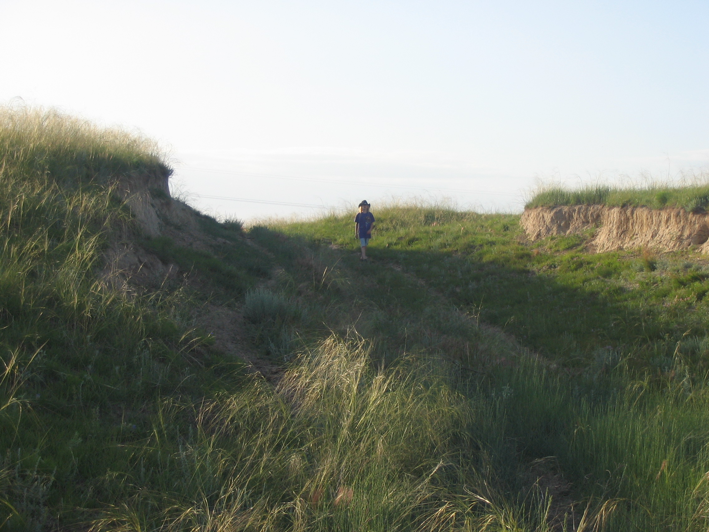
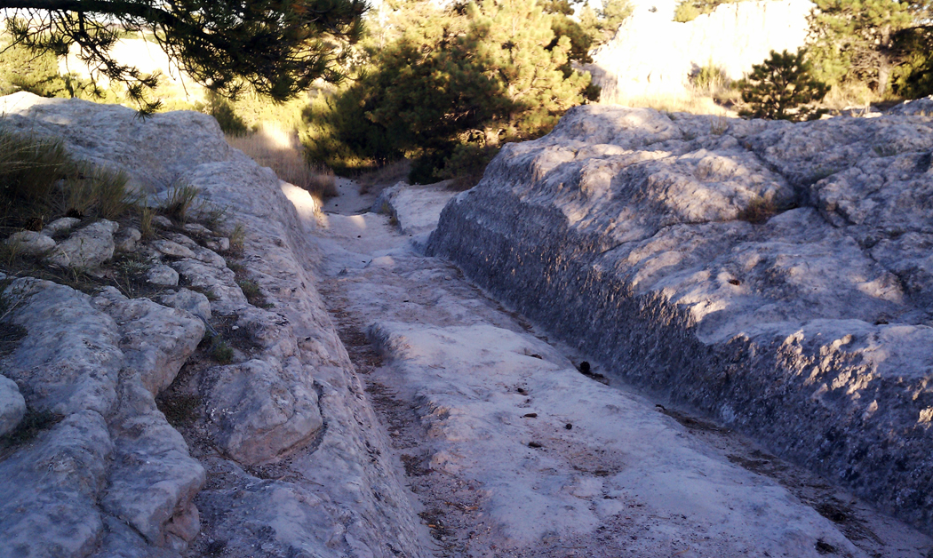
Go See Oregon Trail Ruts
One of the best ways to experience the Oregon Trail is by taking a step back in time while visiting…
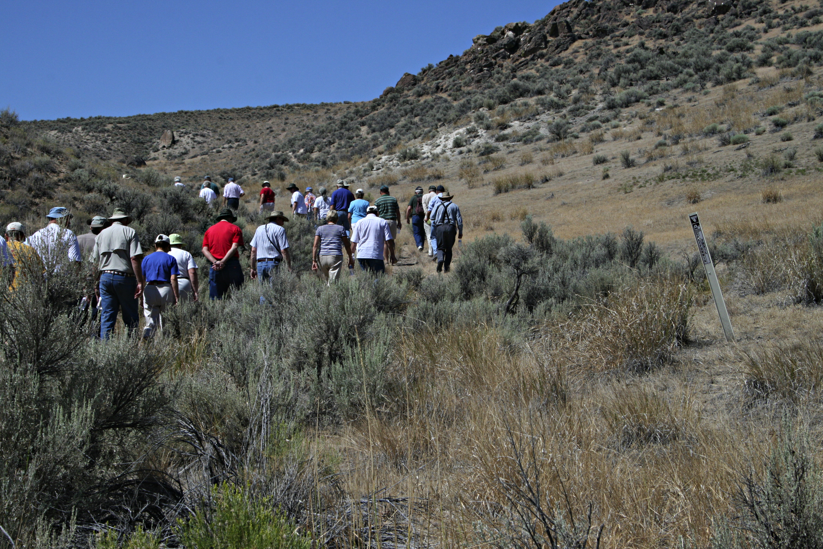
Hike on the California Trail
Follow in the footsteps of over 250,000 emigrants who traveled to the gold fields and rich farmlands of California during…
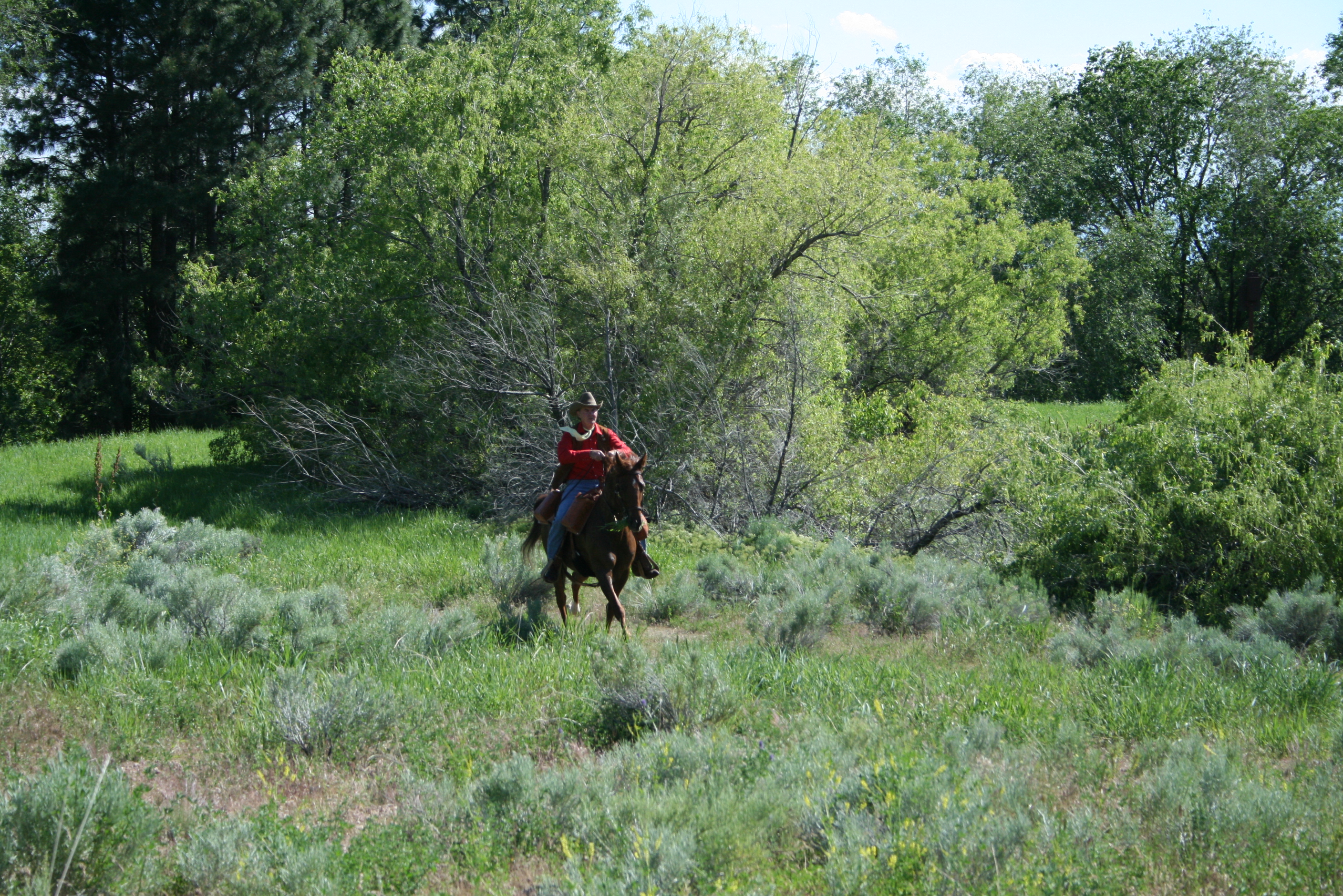
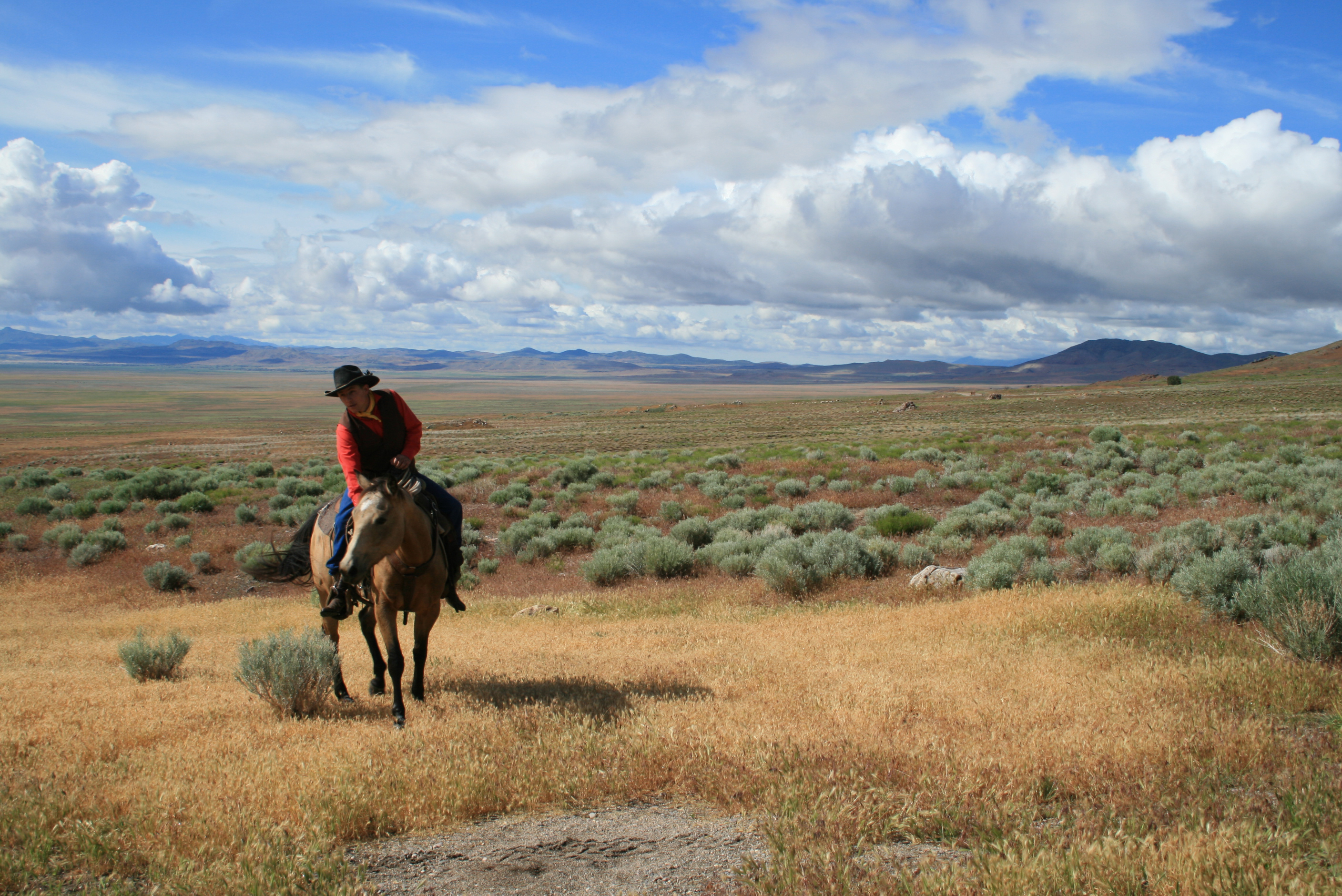
Horseback Riding on the California Trail
Take a ride back in time on the California Trail! The variety of opportunities ranges from historic landscapes to modern…
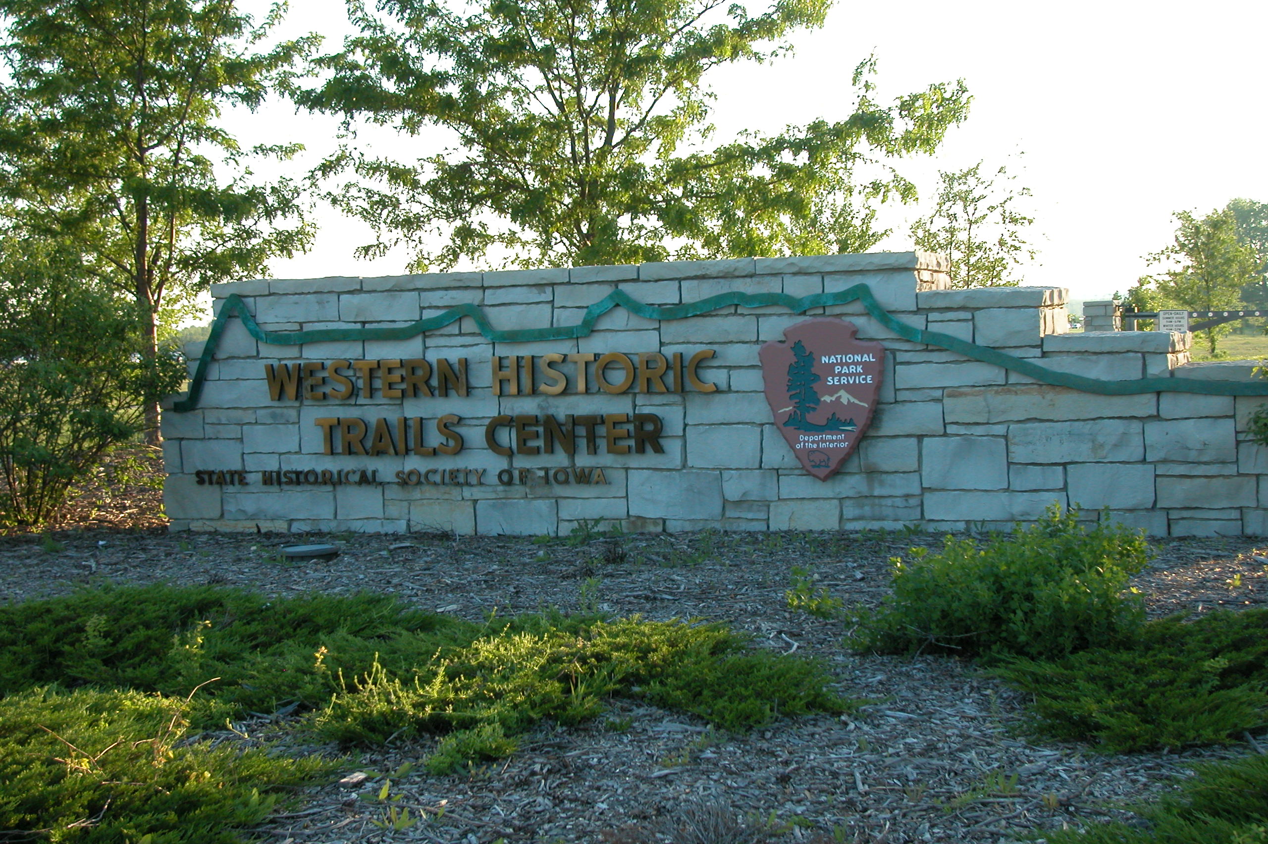
Check out Museums and Visitor Centers along the California Trail
There are a variety of museums and visitor centers along the California Trail. In some places, you may find more…
Visitor Centers
The California Trail Interpretive Center
Between 1841 and 1869, up to 250,000 people sold their belongings, packed wagons, and set out for California. The California Trail Interpretive Center ,operated by…
Nearby National Park Service Sites
These sites are ordered by straight-line distance between NPS reference coordinates. This is useful for comparison, but it is not road mileage. Trails, parkways, rivers, and distributed units may extend far from their reference point.
Nearby Cities for Trip Planning
These cities are ordered by straight-line distance from the NPS reference coordinate. They are comparison starting points, not official park gateways or road-distance estimates. Trails and other distributed units may extend far beyond this reference point.
🗺️ Guided Tours & Experiences
Discover California National Historic Trail with expert-led tours
We earn a commission if you make a purchase, at no additional cost to you.
🏨 Search Lodging for California National Historic Trail
Review lodging results matching this park or site name
We earn a commission if you make a purchase, at no additional cost to you.