
About Ice Age Floods National Geologic Trail
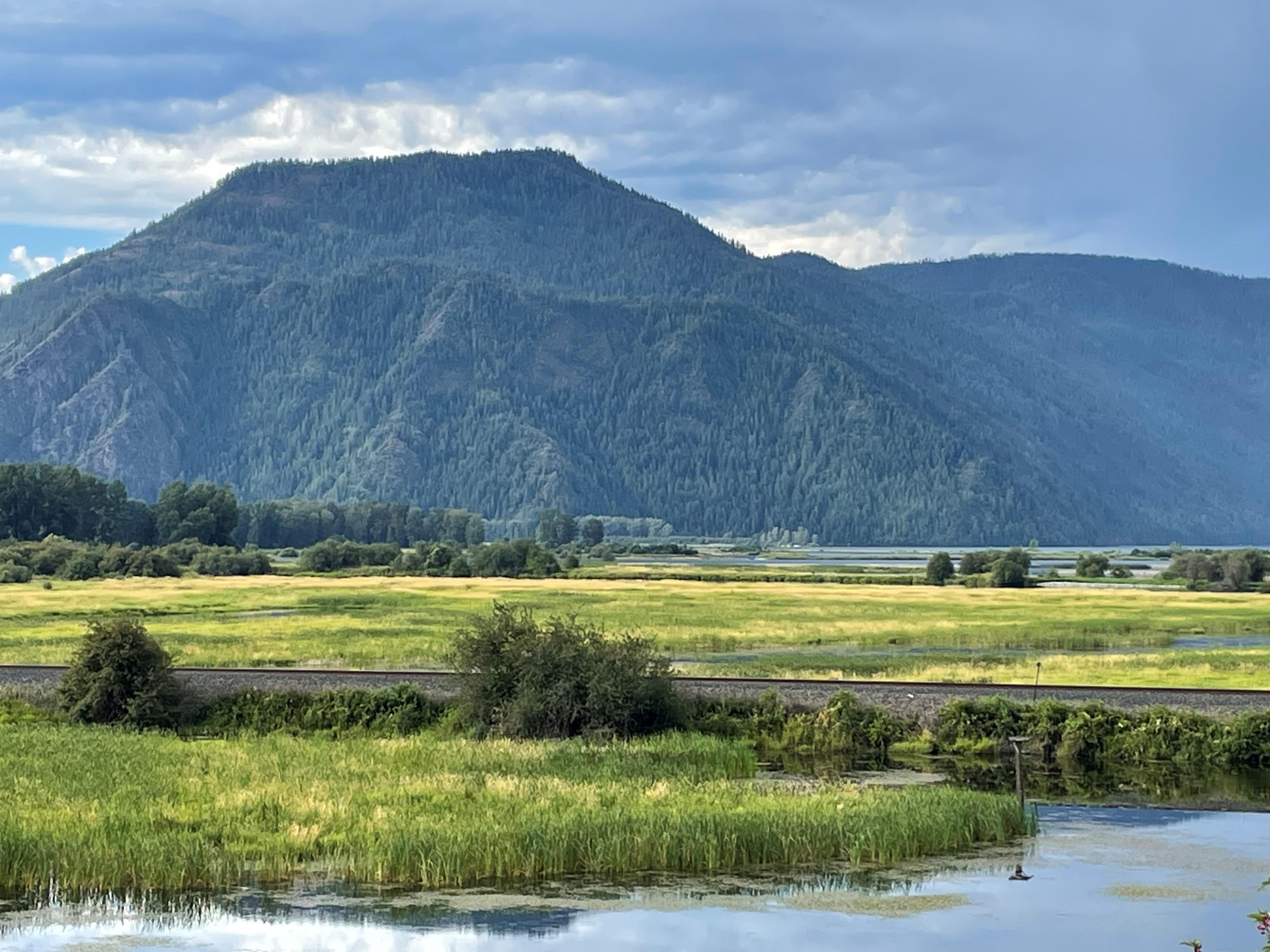
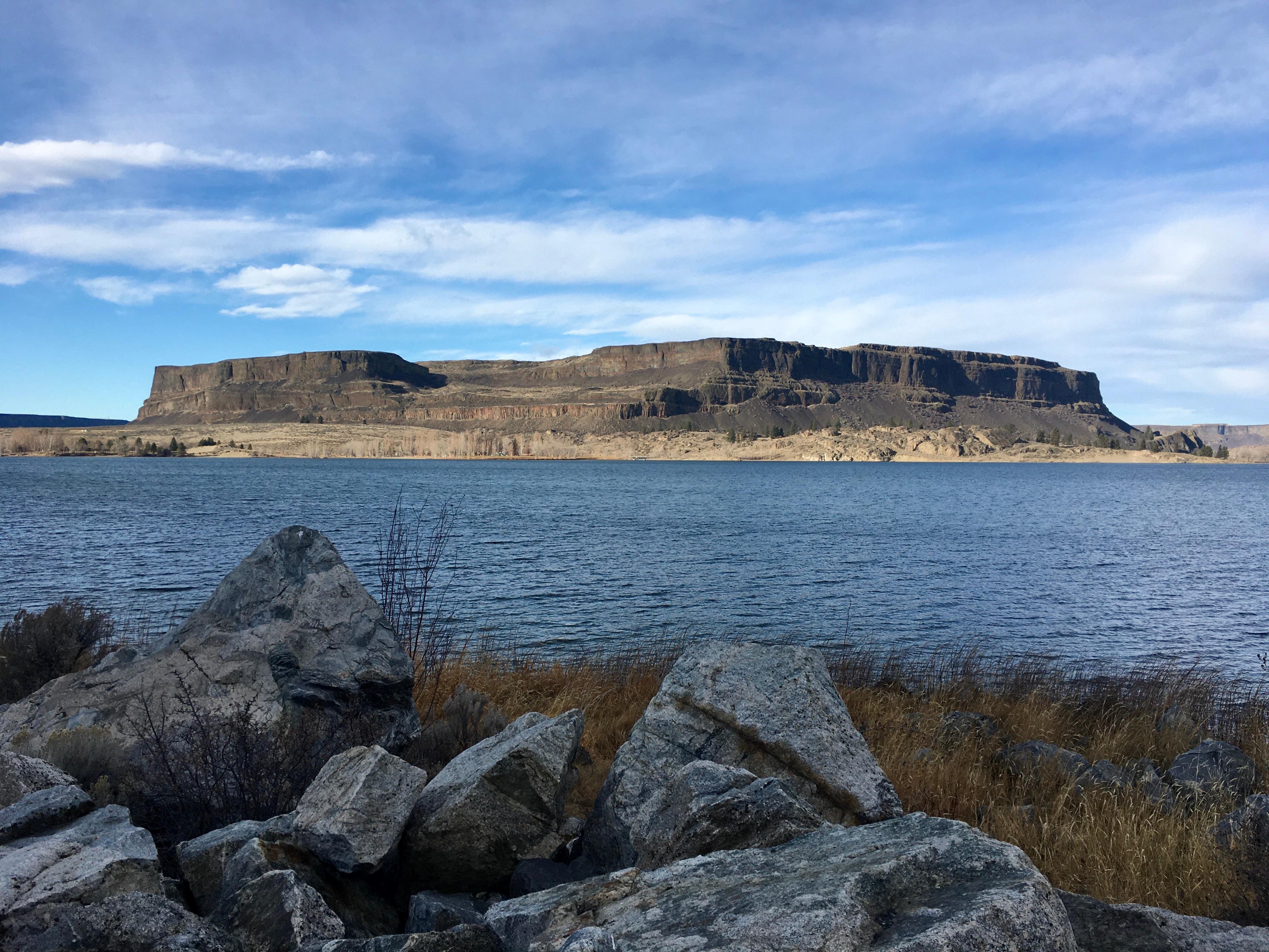
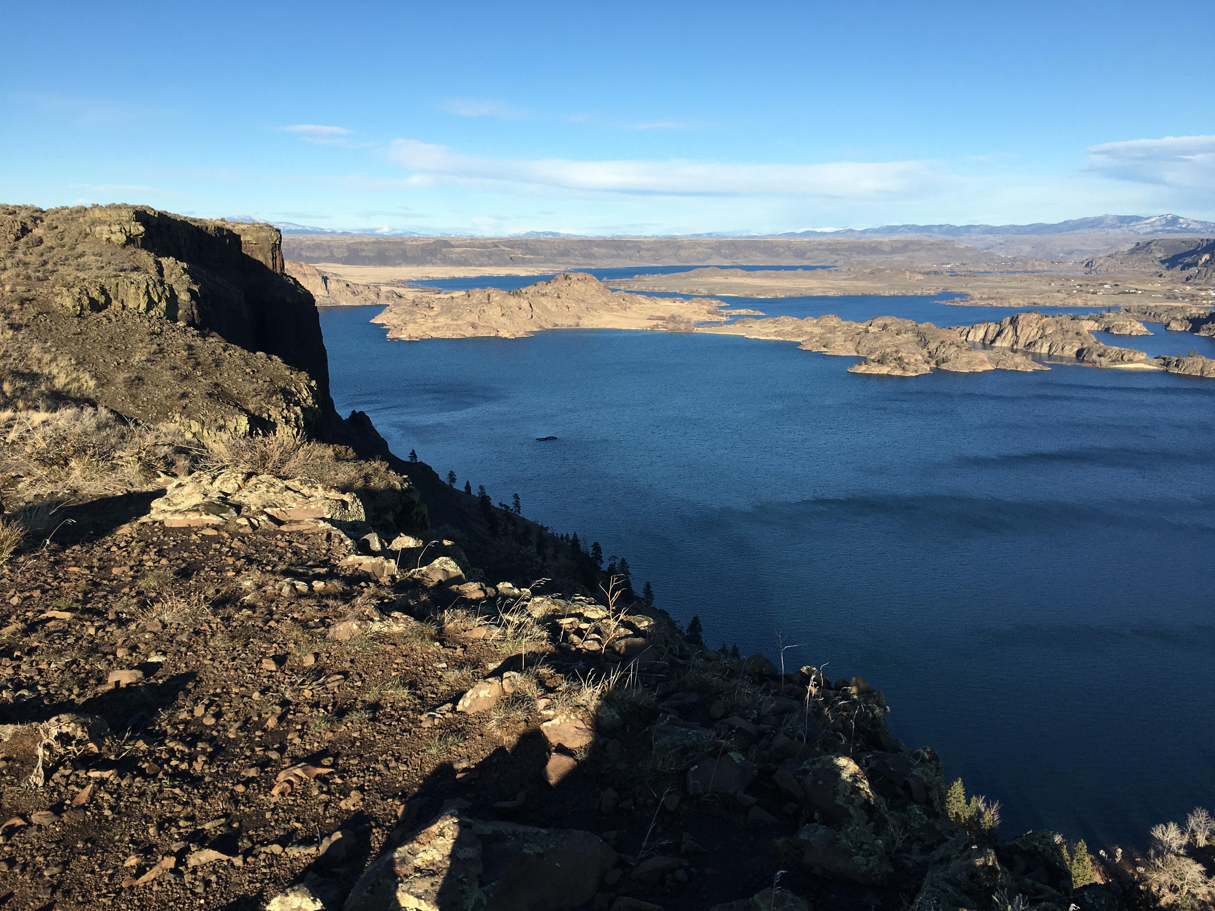
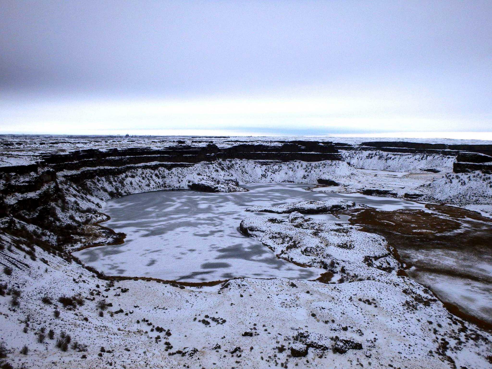
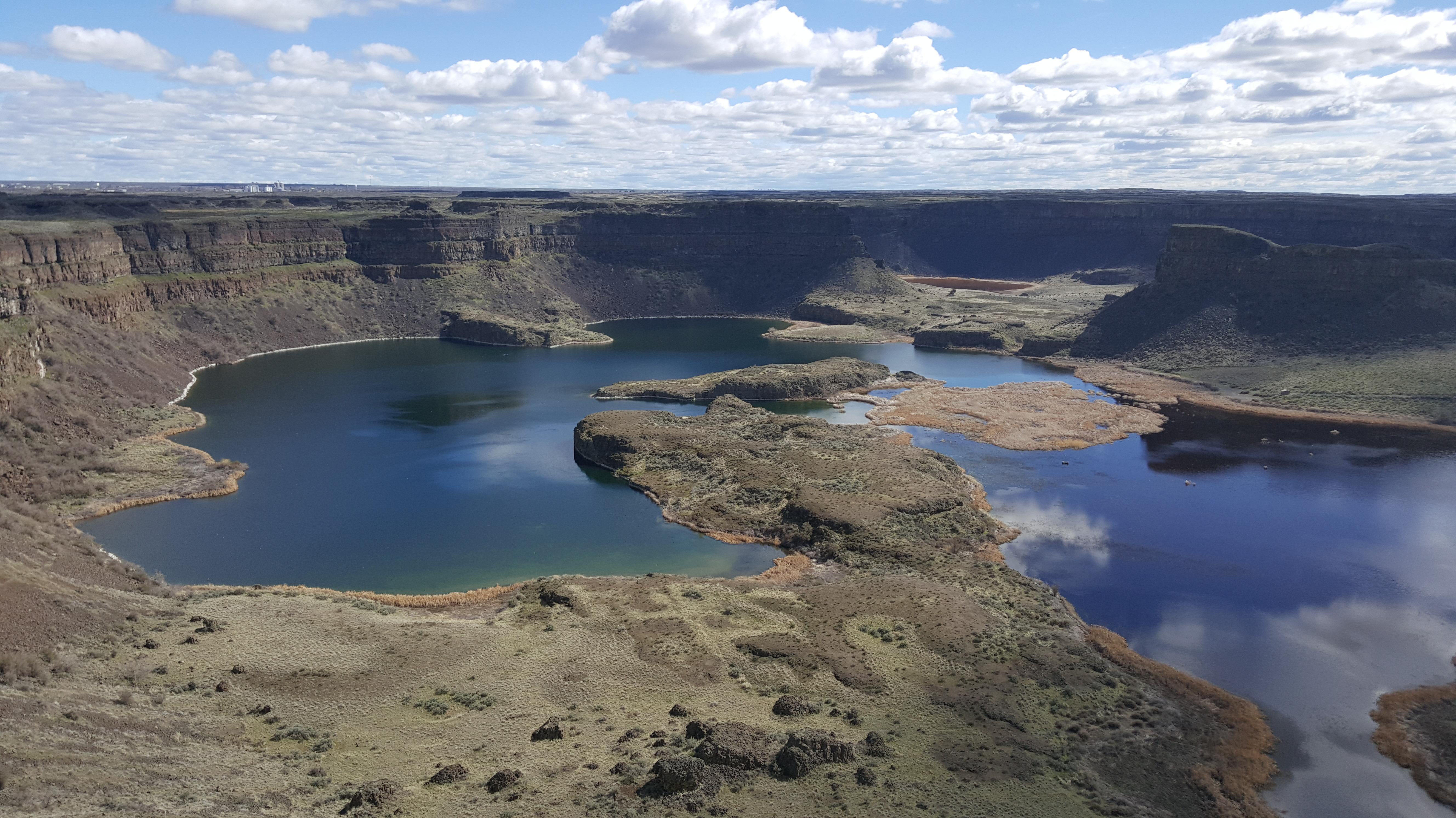
At the end of the last Ice Age, 18,000 to 15,000 years ago, an ice dam in northern Idaho created Glacial Lake Missoula stretching 3,000 square miles around Missoula, Montana. The dam burst and released flood waters across Washington, down the Columbia River into Oregon before reaching the Pacific Ocean. The Ice Age Floods forever changed the lives and landscape of the Pacific Northwest.
Quick Facts
Operating Hours
The Ice Age Floods National Geologic Trail is a collection of sites operated and owned by a variety of partners. , Hours of operation and season will vary from site to site. Please check each respective site for more details and information.
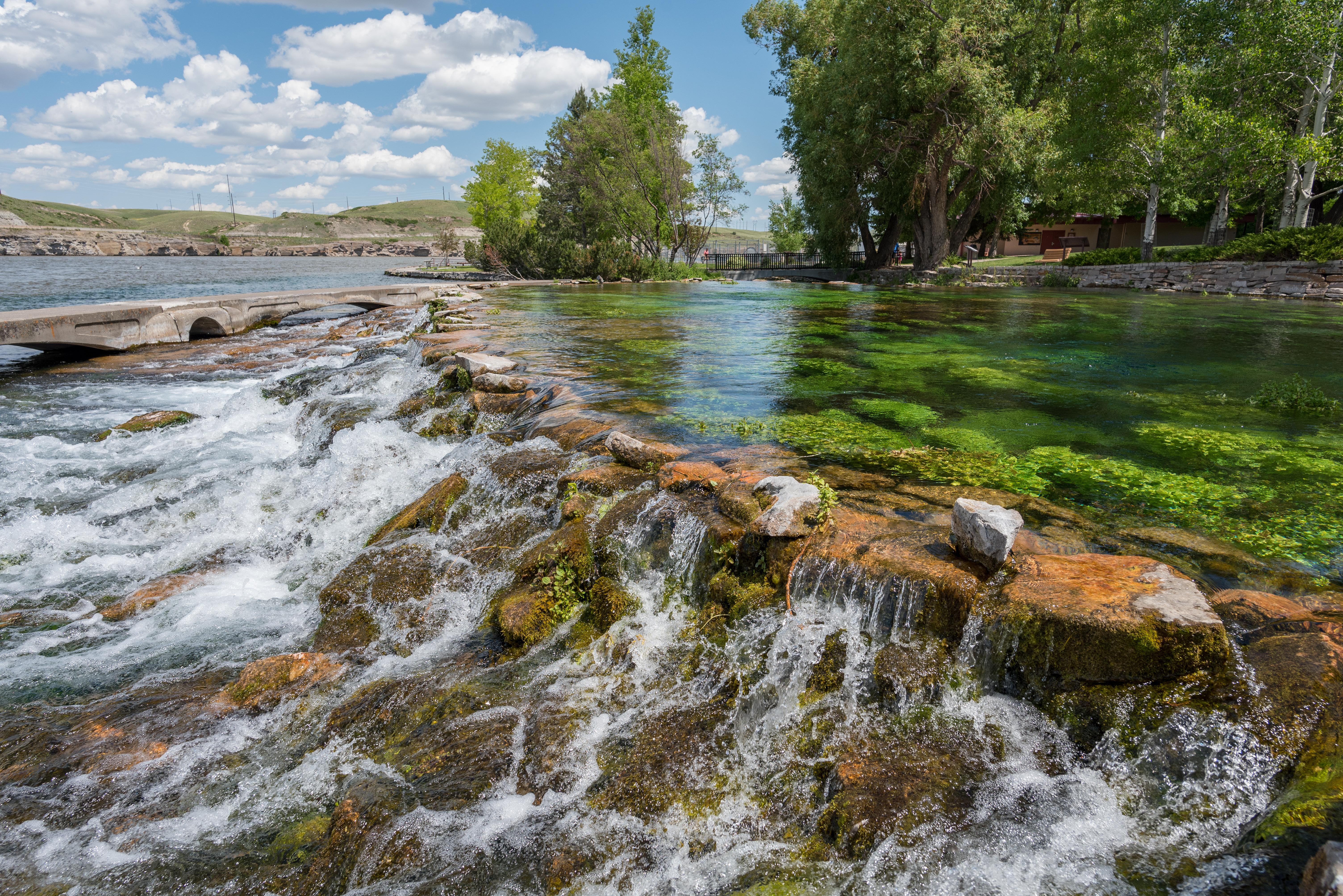
Activities
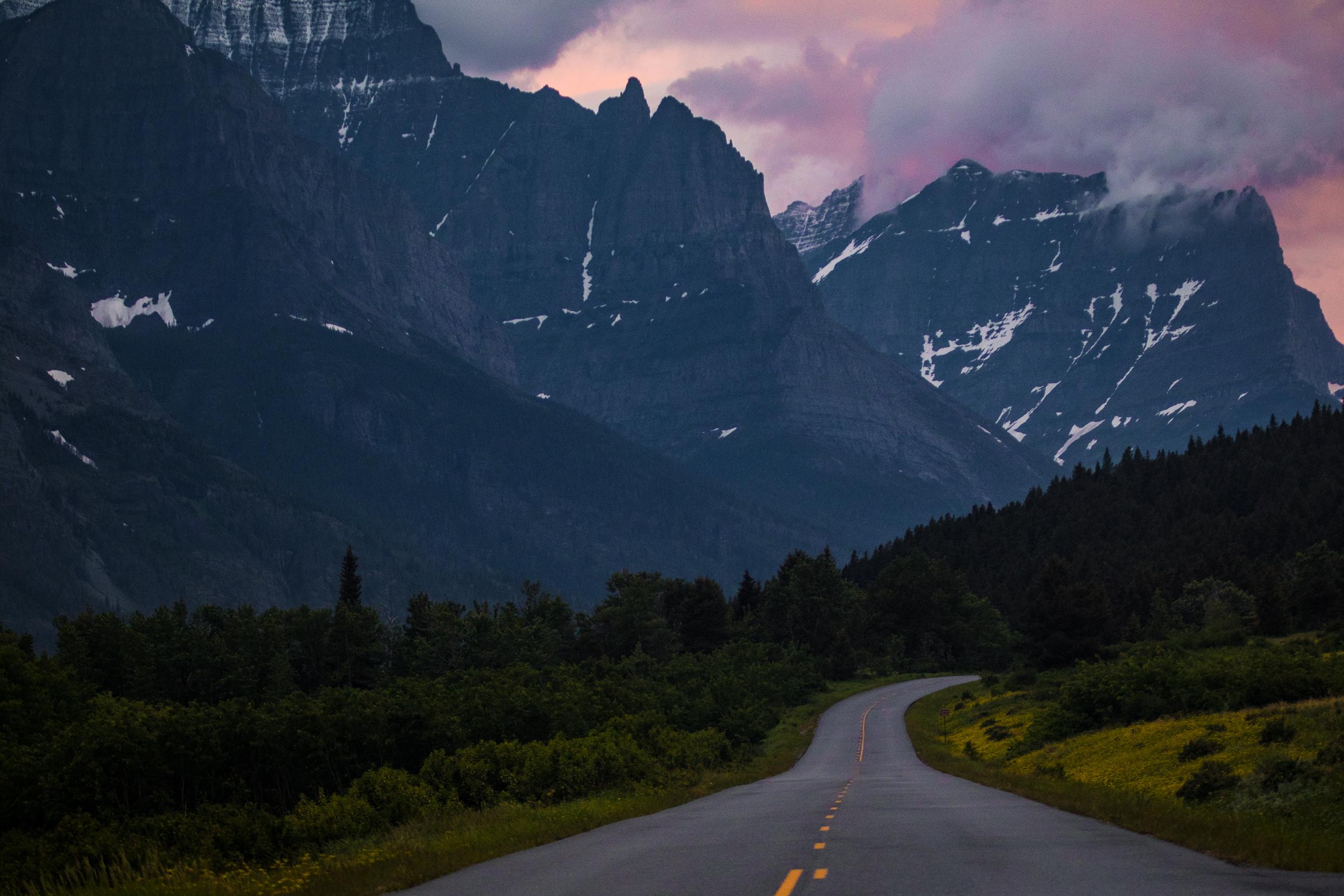
Getting There
To Trail Headquarters from Spokane Take I-90 West At Exit 277, merge onto US-2 toward Davenport/Fairchild AFB/Spokane Airport Just past Wilbur, turn right onto WA-21 Stay left onto Highway 174 Turn right onto WA-155 Stay on WA-155 past Grand Coulee Dam and into the town of Coulee Dam Cross the Columbia River and continue on WA-155 Turn right onto Crest Drive and follow up the hill. The HQ Office is located on the left
View Official DirectionsContact & Address
Topics & Themes
🗺️ Guided Tours & Experiences
Discover Ice Age Floods National Geologic Trail with expert-led tours
We earn a commission if you make a purchase, at no additional cost to you.
🏨 Find Hotels Near Ice Age Floods National Geologic Trail
Compare accommodation options for your visit
We earn a commission if you make a purchase, at no additional cost to you.
More Parks in Washington
Plan Your Trip From a Nearby City
Find national parks near these cities, including Ice Age Floods National Geologic Trail.