Ice Age National Scenic Trail

Photograph of a large glacial erratic boulder in autumn with trees covered in colorful foliage and f
Glacial Erratic Boulder on Harwood Lake Segment of Ice Age National Scenic Trail
Photograph of an autumn prairie scene with rolling hills edged by trees under a partly cloudy sky.
Chippewa Moraine Segment of Ice Age National Scenic Trail
Photograph of “Ice Age Trail” sign surrounded by a forest with autumn foliage.
Ice Age Trail sign on the McKenzie Creek Segment of Ice Age National Scenic Trail
expansive view as seen from atop Gibraltar Rock
The view extends for many miles from atop Gibraltar Rock.
Photograph of a forest scene with a V-shaped boulder-strewn valley.
Blue Hills Felsenmeer in Wisconsin.
Photograph of “Ice Age Trail” sign surrounded by a forest with autumn foliage.
Ice Age National Scenic Trail sign near the McKenzie Creek Segment
Photograph of a yellow rectangular blaze painted onto the trunk of a tree.
Yellow blazes indicate that you are on Ice Age National Scenic Trail
Photograph of leaf covered trail in autumn.
Trail on the Straight Lake Segment of the Ice Age National Scenic Trail.
Photograph of an autumn prairie scene with a grassy trail meandering into the distance.
Trail on the Pine Lake Segment of the Ice Age National Scenic Trail
Photos: National Park Service

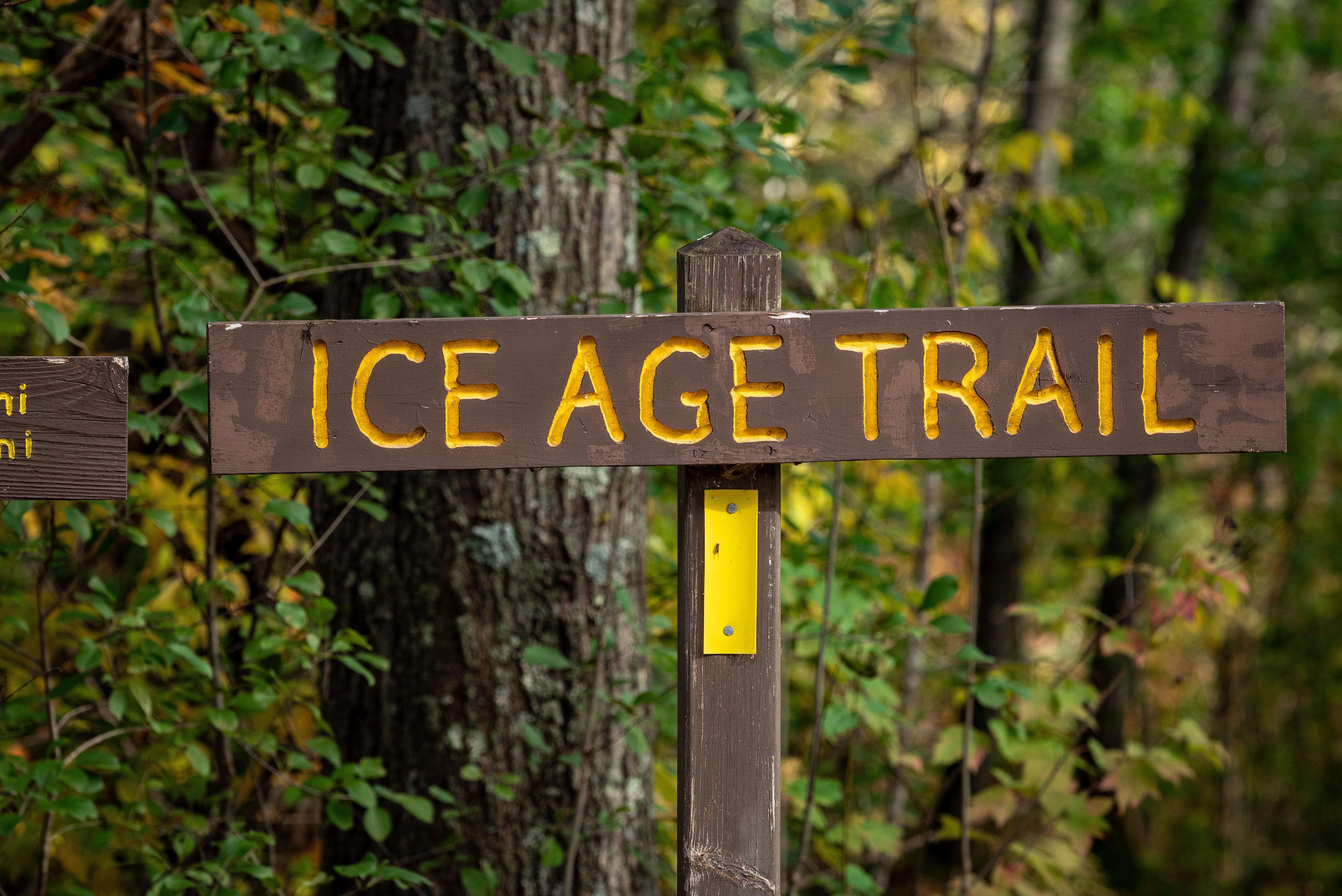
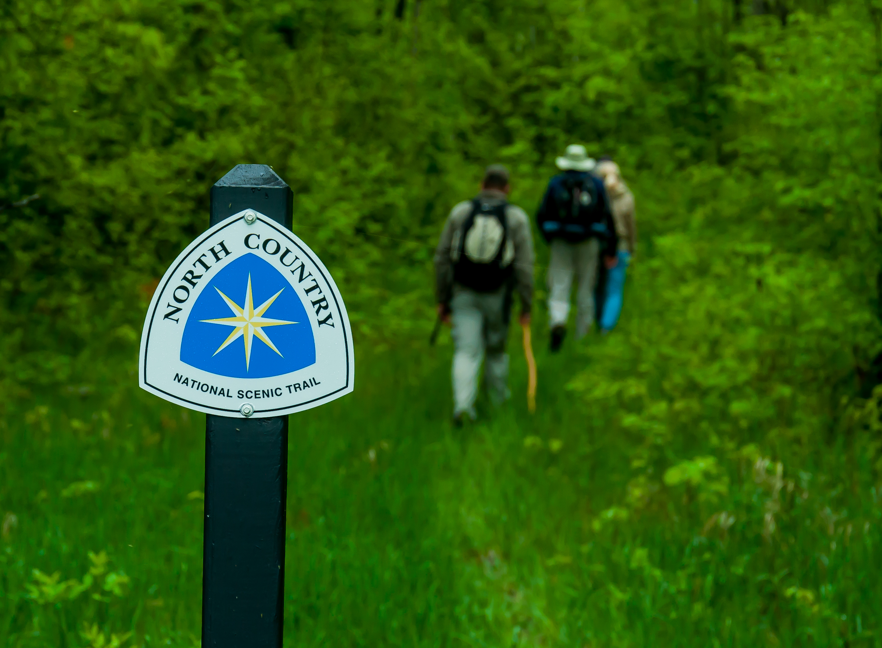
About Ice Age National Scenic Trail

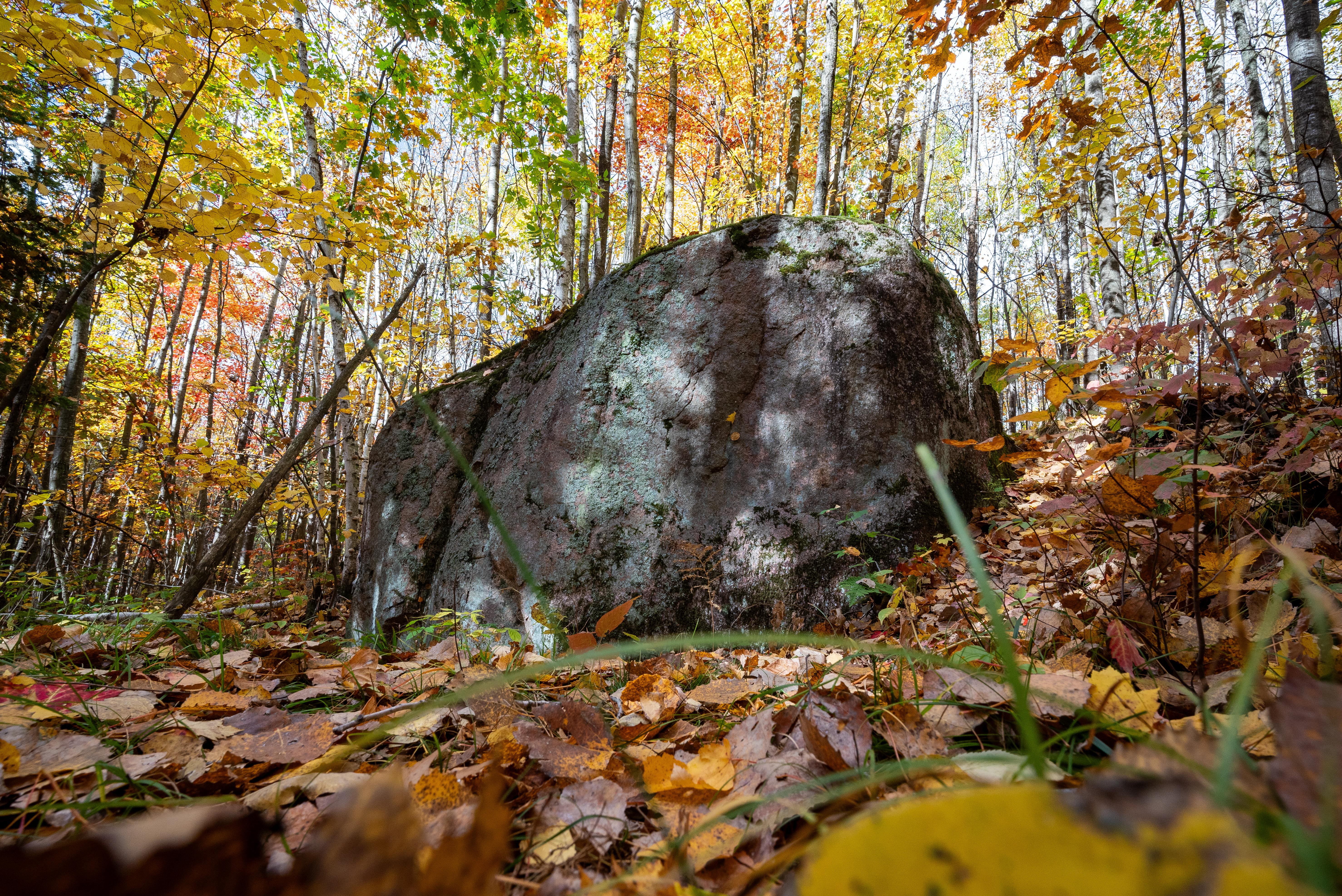
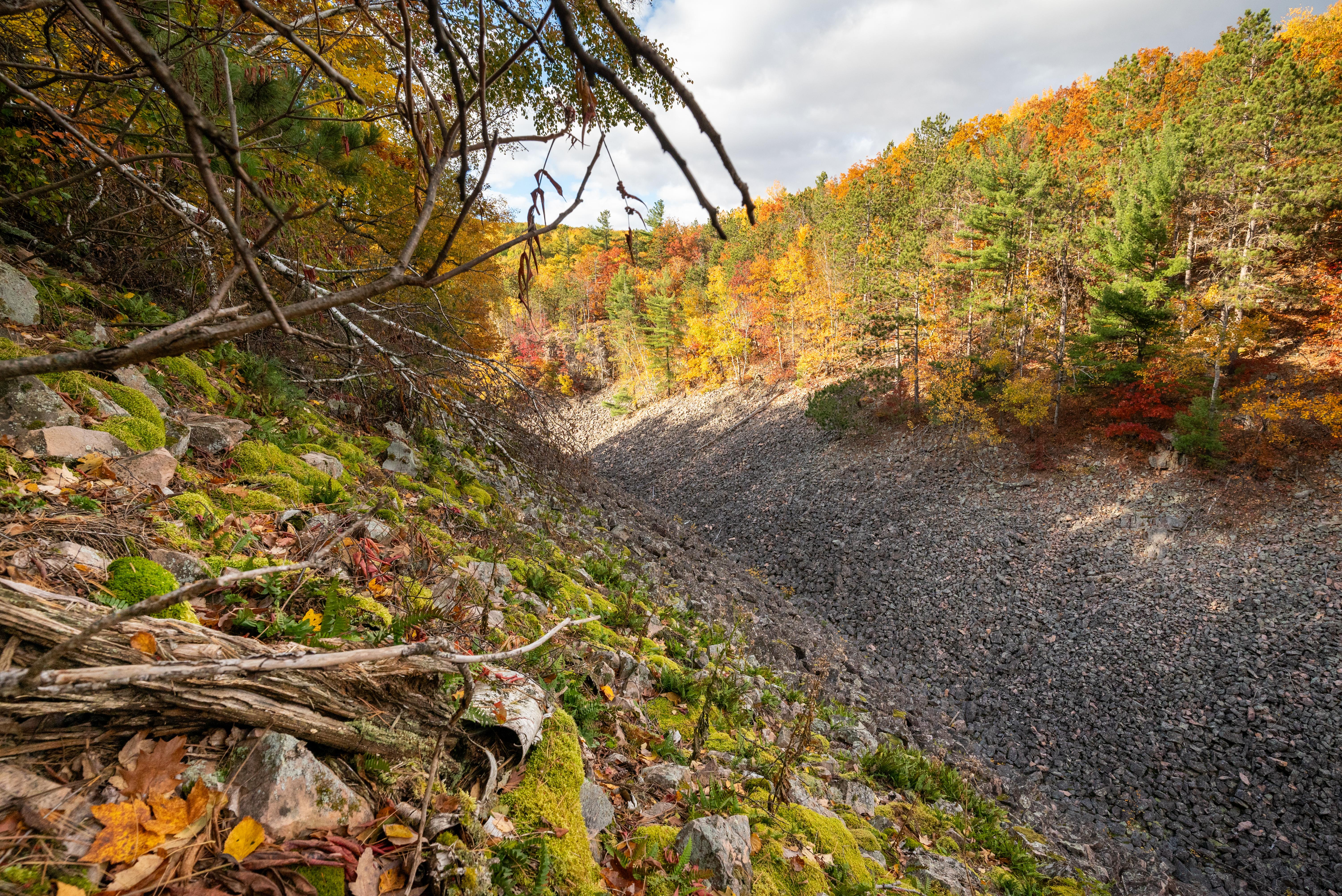
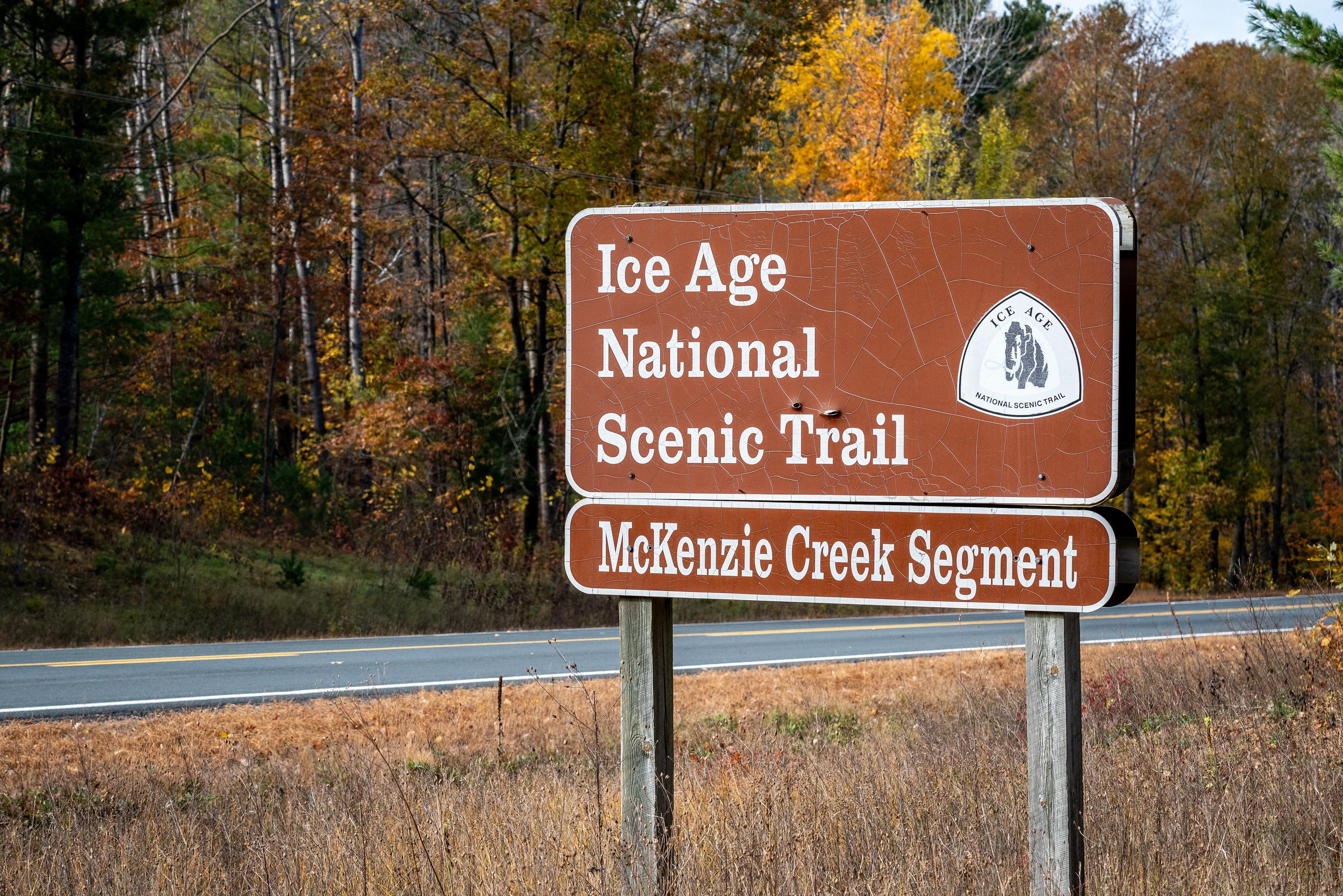
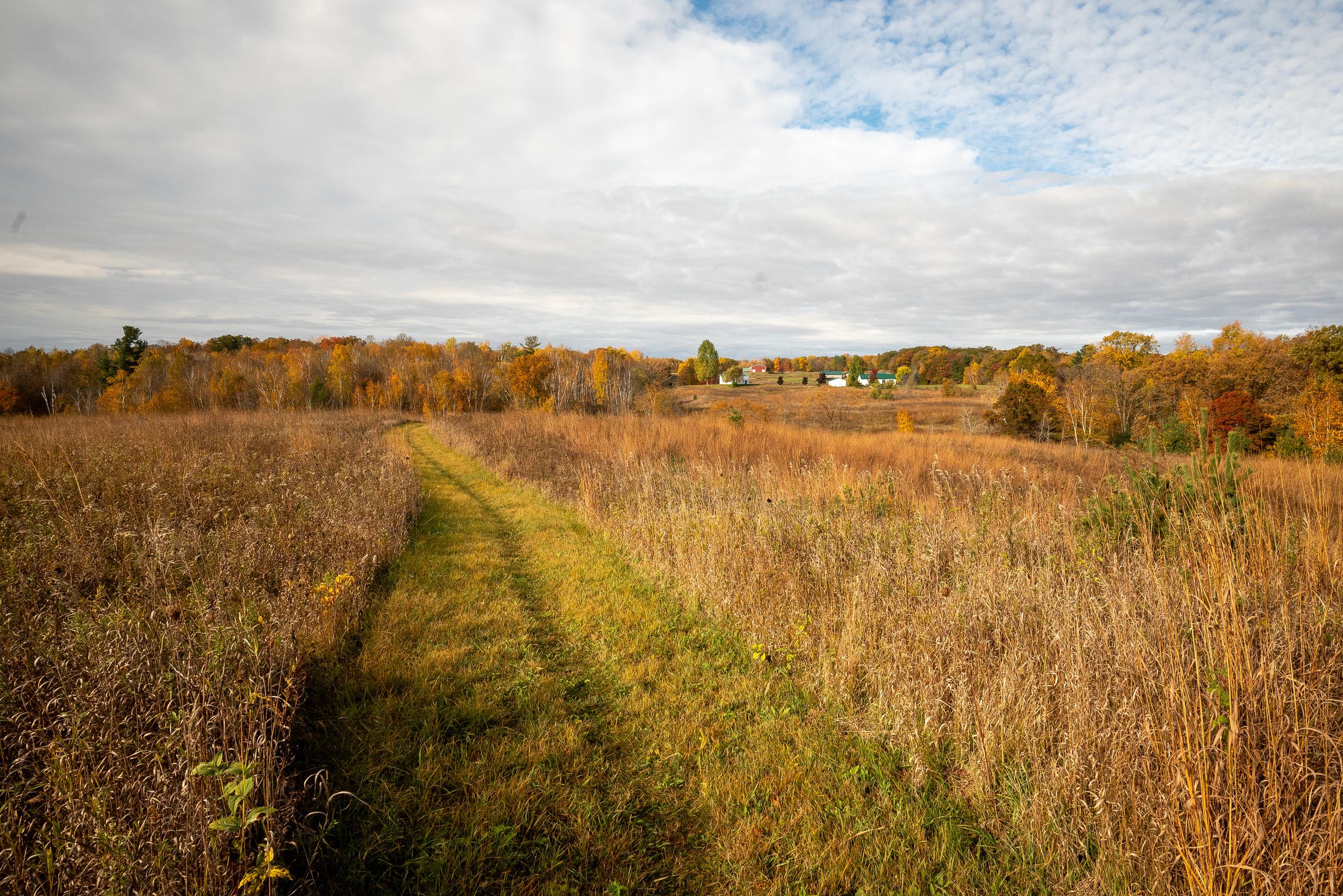
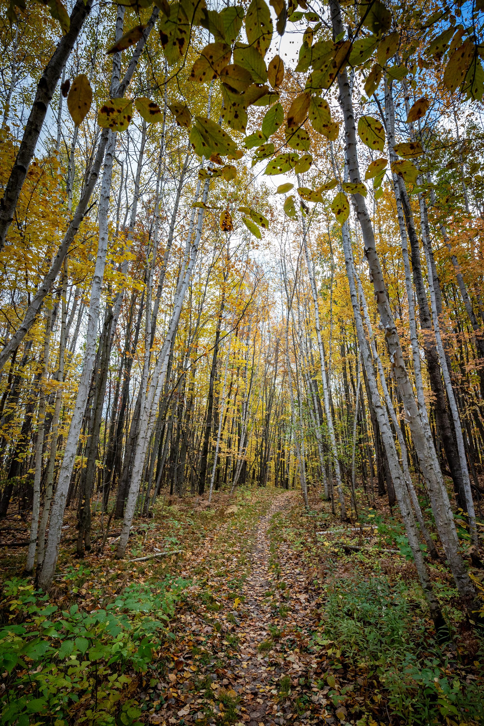
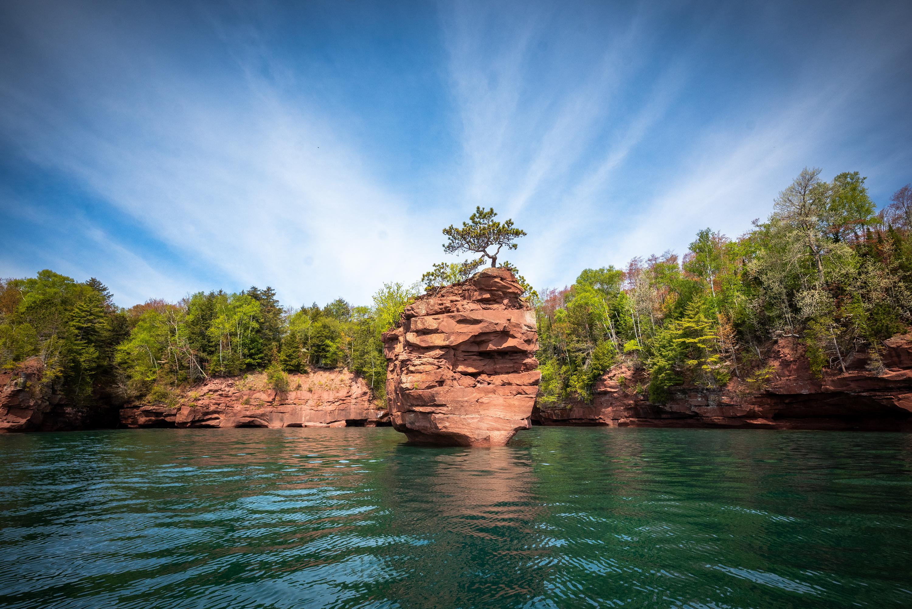
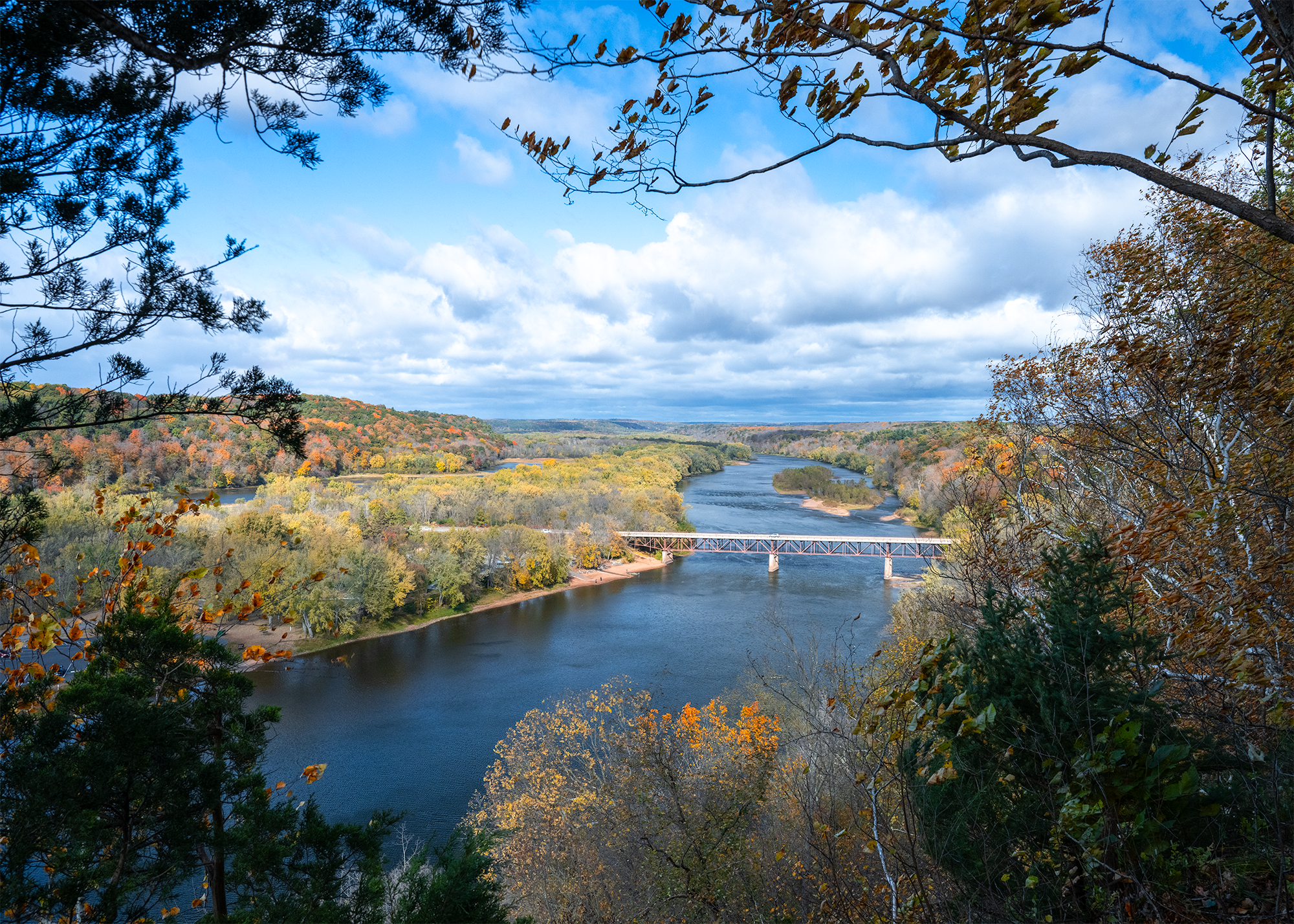
The Ice Age National Scenic Trail spans 1,200 miles, traverses some of Wisconsin's finest geologic and glacial features, and passes through the ancestral lands of 15 Tribes. The Trail is built, managed and maintained by dedicated volunteers, Ice Age Trail Alliance, Wisconsin Department of Natural Resources, local partners, and the National Park Service.

Quick Facts

State Wisconsin
Designation National Scenic Trail
State Code WI
Weather Wisconsin has four distinct seasons. Summers are generally warm, while winters are cold, often bringing significant snowfall. Weather conditions can vary widely throughout the year and location on the trail.…

Location & Map

Ice Age National Scenic Trail is located in Wisconsin.

Operating Hours

The Ice Age National Scenic Trail is not your 'typical' park. The trail is almost 1,200 miles long and crosses the state of Wisconsin north to south and east to west. The Trail is open year round. However some segments may be closed during Wisconsin's November 9-day gun deer hunting season. Additional information about hunting seasons, trail conditions and closures along the rest of the trail is available from the Wisconsin Department of Natural Resources and the Ice Age Trail Alliance.

Wednesday All Day
Monday All Day
Thursday All Day
Sunday All Day
Tuesday All Day
Friday All Day
Saturday All Day

Activities

Camping Backcountry Camping Fishing Hands-On Volunteer Vacation Hiking Skiing Cross-Country Skiing Snowshoeing Wildlife Watching Birdwatching

Getting There

Ice Age National Scenic Trail spans nearly 1,200 miles across Wisconsin. Major commercial airports are located in cities and regional hubs throughout the state, offering access to the trail. Numerous trailheads with parking are available, allowing you to explore the trail at various entry points along the route.

View Official Directions

Contact & Address

Address 8075 Old Sauk Pass Road, Cross Plains, WI, 53528
Phone 608-798-8700

Topics & Themes

Animals Birds Climate Change Forests and Woodlands Geology Glaciers Grasslands Prairies Natural Sounds Scenic Views Trails

🗺️ Guided Tours & Experiences

Discover Ice Age National Scenic Trail with expert-led tours

We earn a commission if you make a purchase, at no additional cost to you.

🏨 Find Hotels Near Ice Age National Scenic Trail

Compare accommodation options for your visit

We earn a commission if you make a purchase, at no additional cost to you.

Scroll to Top