
About Amache National Historic Site
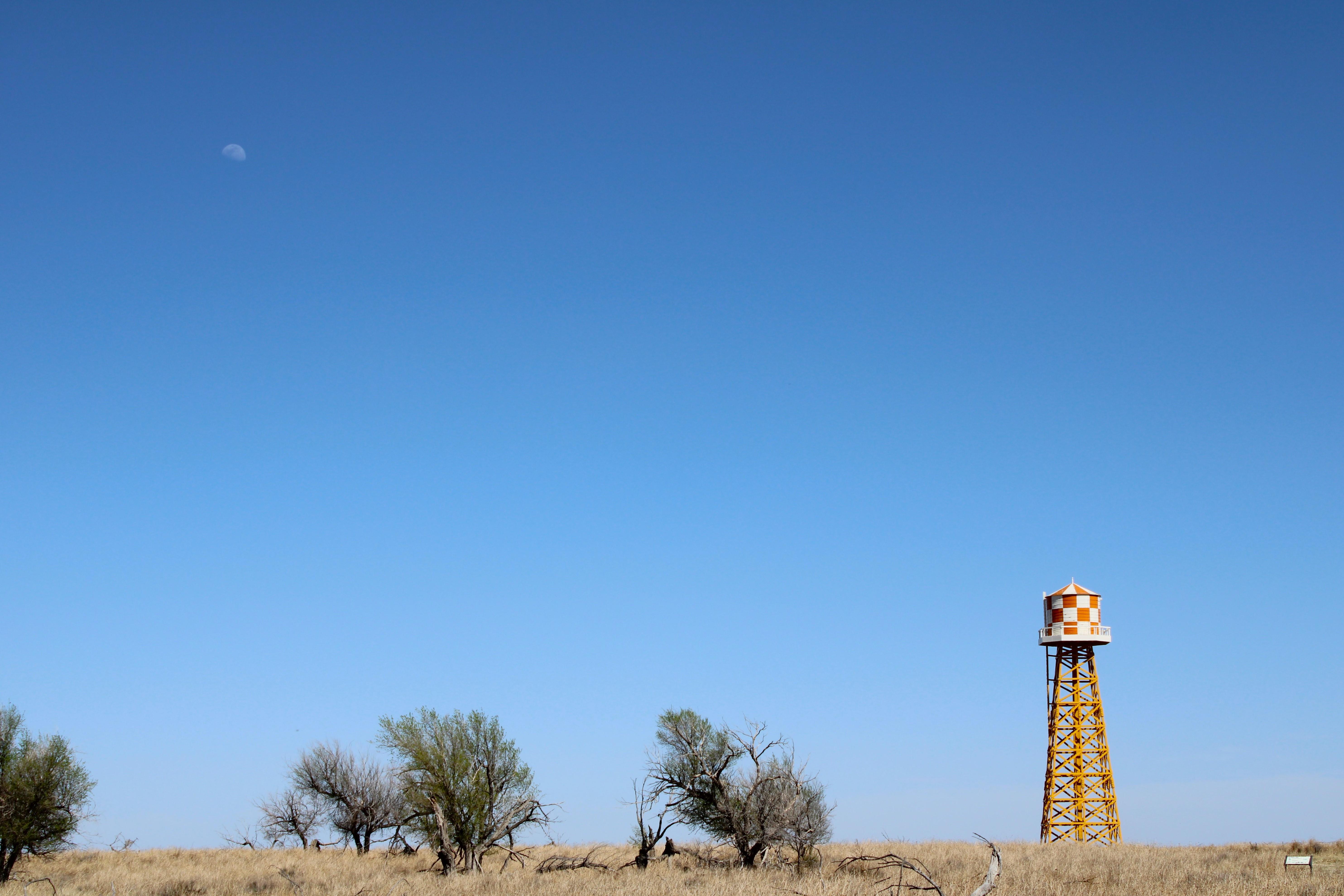
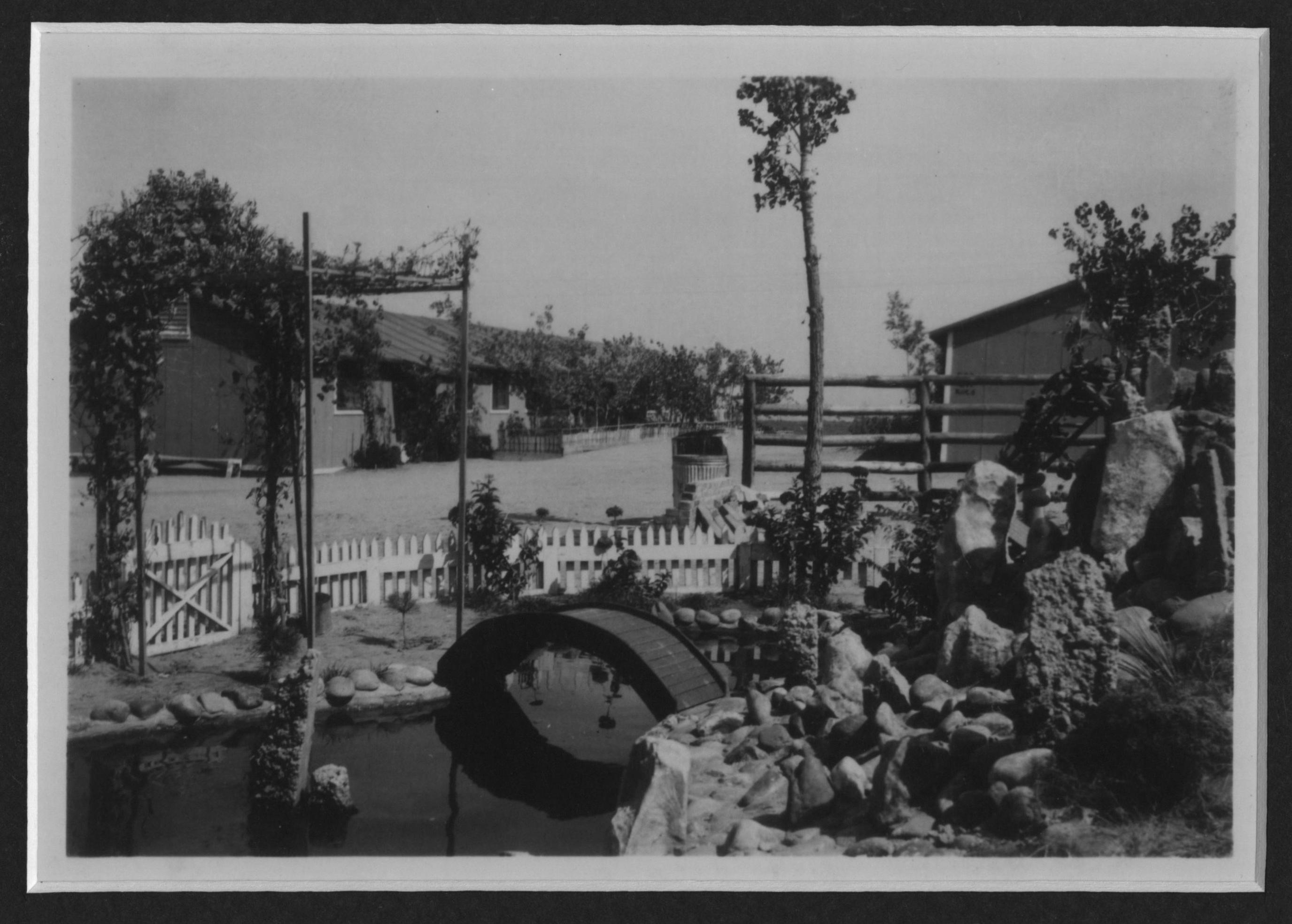
Amache, also known as the Granada Relocation Center, near Granada, Colorado was one of ten incarceration sites established by the War Relocation Authority during World War II to unjustly incarcerate Japanese Americans. Over 10,000 people, most American citizens, were incarcerated at Amache from 1942 to 1945.
Plan a Visit
Core visitor information on this page is sourced from the National Park Service. NPD proximity sections use NPS reference coordinates and straight-line distance. Local source bundle updated Sep 27, 2026. View the official NPS page.
Weather & Conditions
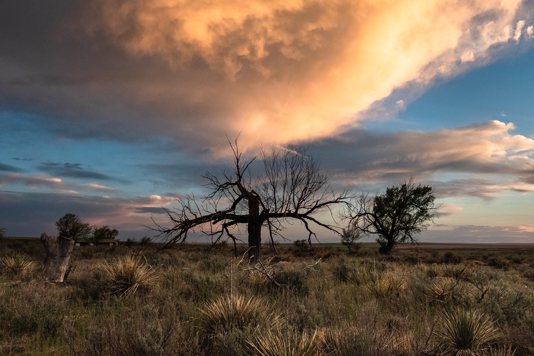
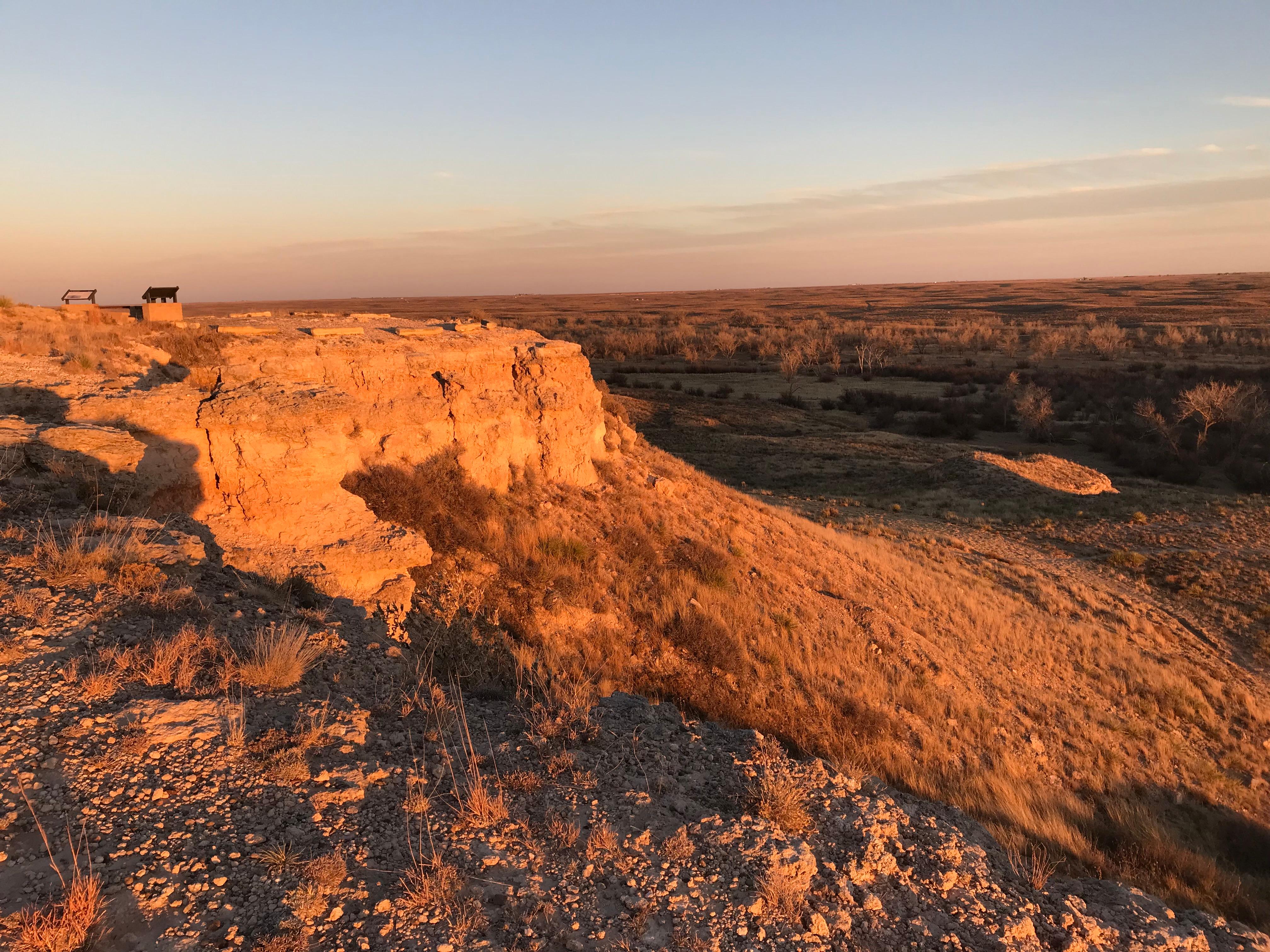
The site is located in Colorado on the High Plains, an arid, windy, and sunny environment. Temperatures and conditions can be extreme in this region, with hot, arid summers that include occasional thunderstorms and tornadoes, as well as cold and snowy winters.
NPS Reference Location
Park state / territory membership: Colorado. This map uses the National Park Service reference coordinate. It may represent an administrative or reference point rather than a park entrance, trailhead, visitor center, or the nearest access point. Use the official NPS directions below when planning travel.
Operating Hours
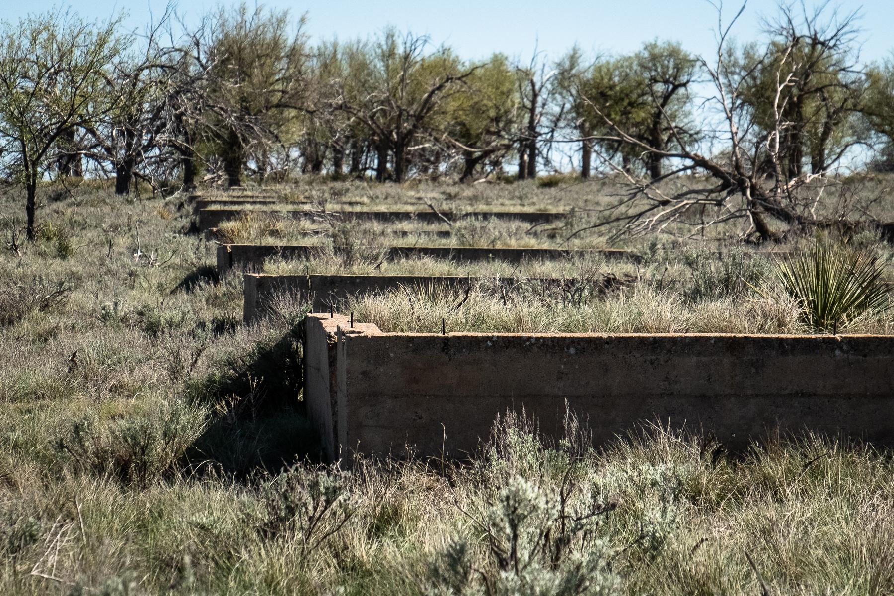
The site is currently open to the public with limited hours and services. The site currently consists of a cemetery, a monument, building foundations, and landscaping. Interpretive panels and a downloadable self-guided auto tour are available on amache.org to assist with navigation of the site. There is no visitor center at the site.
Activities
Current Alerts
Currently, there is no visitor center for Amache National Historic Site. There is a museum in the town of Granada that is operated by Amache Preservation Society. Learn more at amache.org
Cell phone voice and data coverage is very limited in the park and surrounding area.
Getting There
Amache National Historic Site is in southeastern Colorado about 1.5 miles west of the town of Granada, 17.5 miles east of Lamar, and half an hour drive from the Kansas border. The site is located off Highway 385/50 along the Santa Fe Trail.
View Official DirectionsContact & Address
The NPS-listed address may be an administrative office, visitor center, mailing/contact location, or other park facility rather than a park entrance.
Topics & Themes
Things To Do
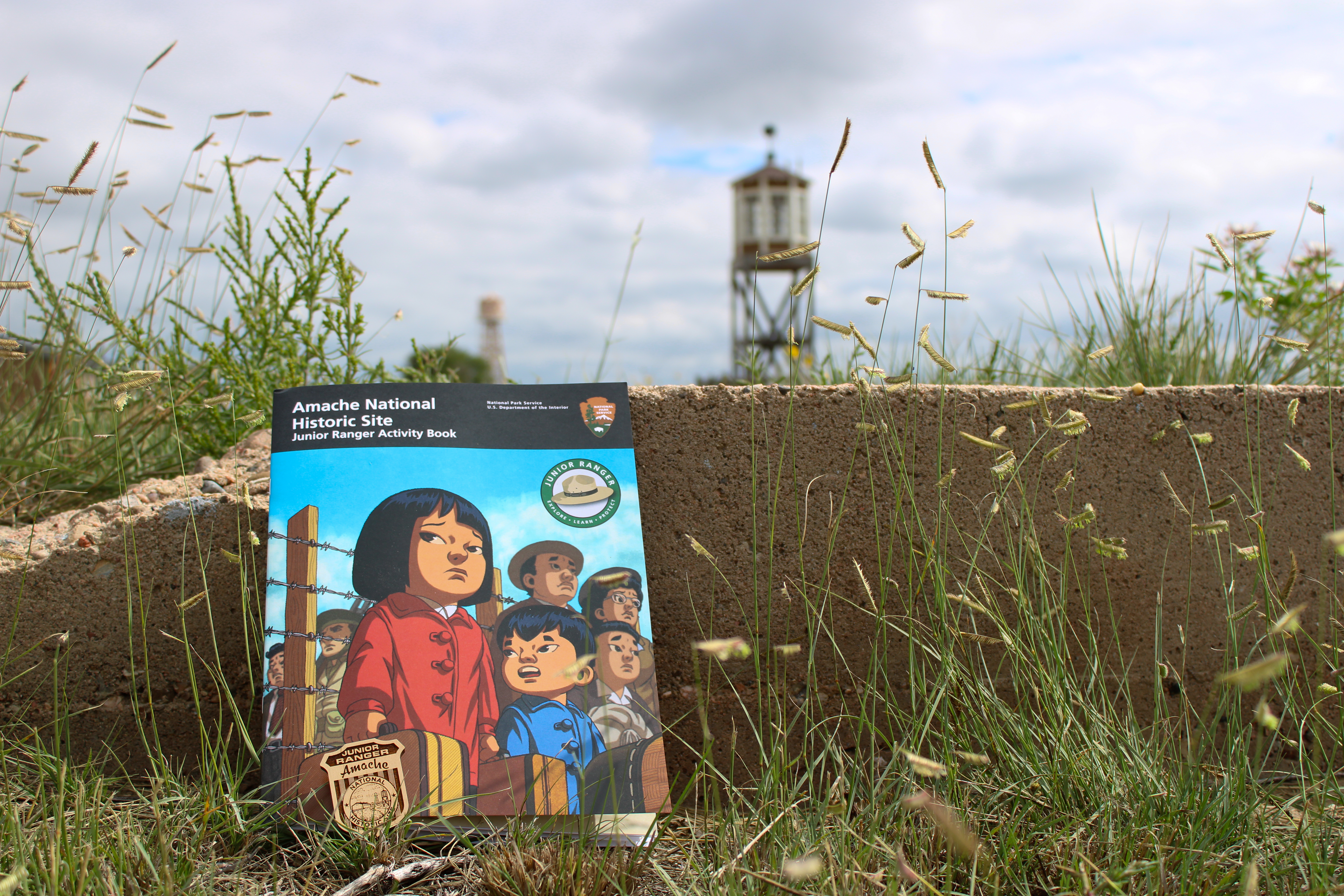
Amache Junior Ranger
Become at Amache Junior Ranger! Books are available at the Amache Museum.
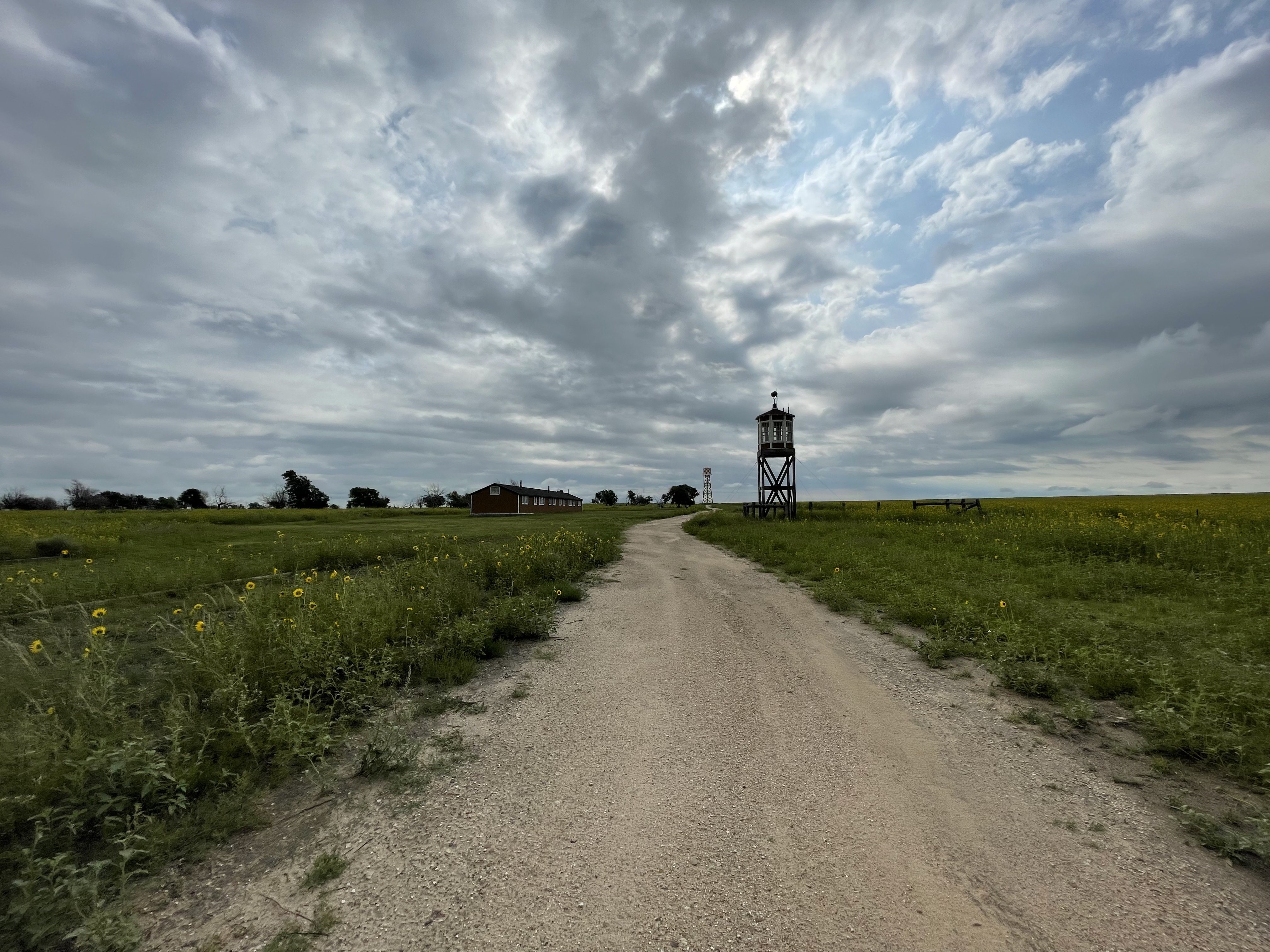
Amache Self-Guided Driving Tour
Amache Preservation Society has created a self-driving audio tour that leads visitors to 11 points of interest at the historic…
Nearby National Park Service Sites
These sites are ordered by straight-line distance between NPS reference coordinates. This is useful for comparison, but it is not road mileage. Trails, parkways, rivers, and distributed units may extend far from their reference point.
Nearby Cities for Trip Planning
These cities are ordered by straight-line distance from the NPS reference coordinate. They are comparison starting points, not official park gateways or road-distance estimates. Trails and other distributed units may extend far beyond this reference point.
🗺️ Guided Tours & Experiences
Discover Amache National Historic Site with expert-led tours
We earn a commission if you make a purchase, at no additional cost to you.
🏨 Search Lodging for Amache National Historic Site
Review lodging results matching this park or site name
We earn a commission if you make a purchase, at no additional cost to you.