
About Curecanti National Recreation Area
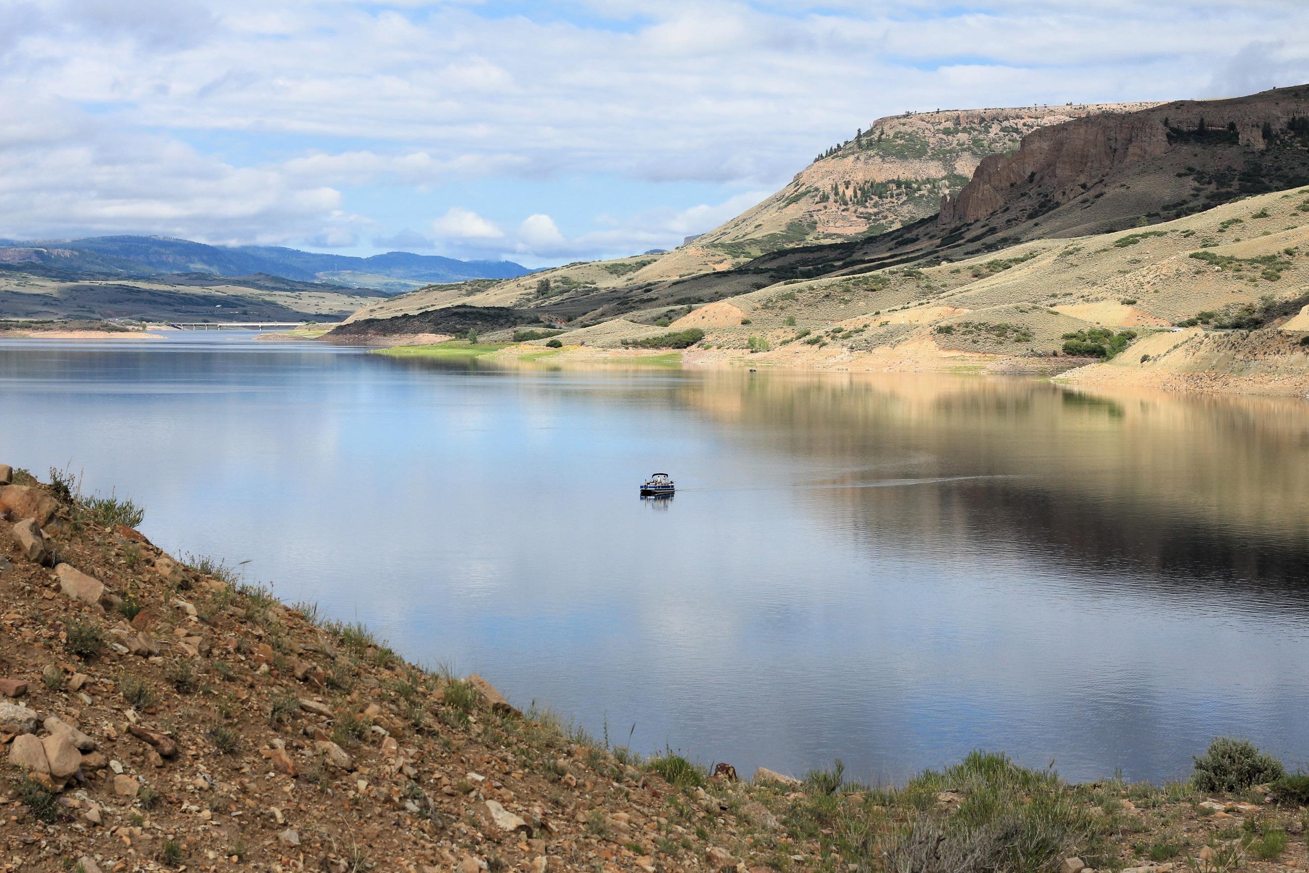
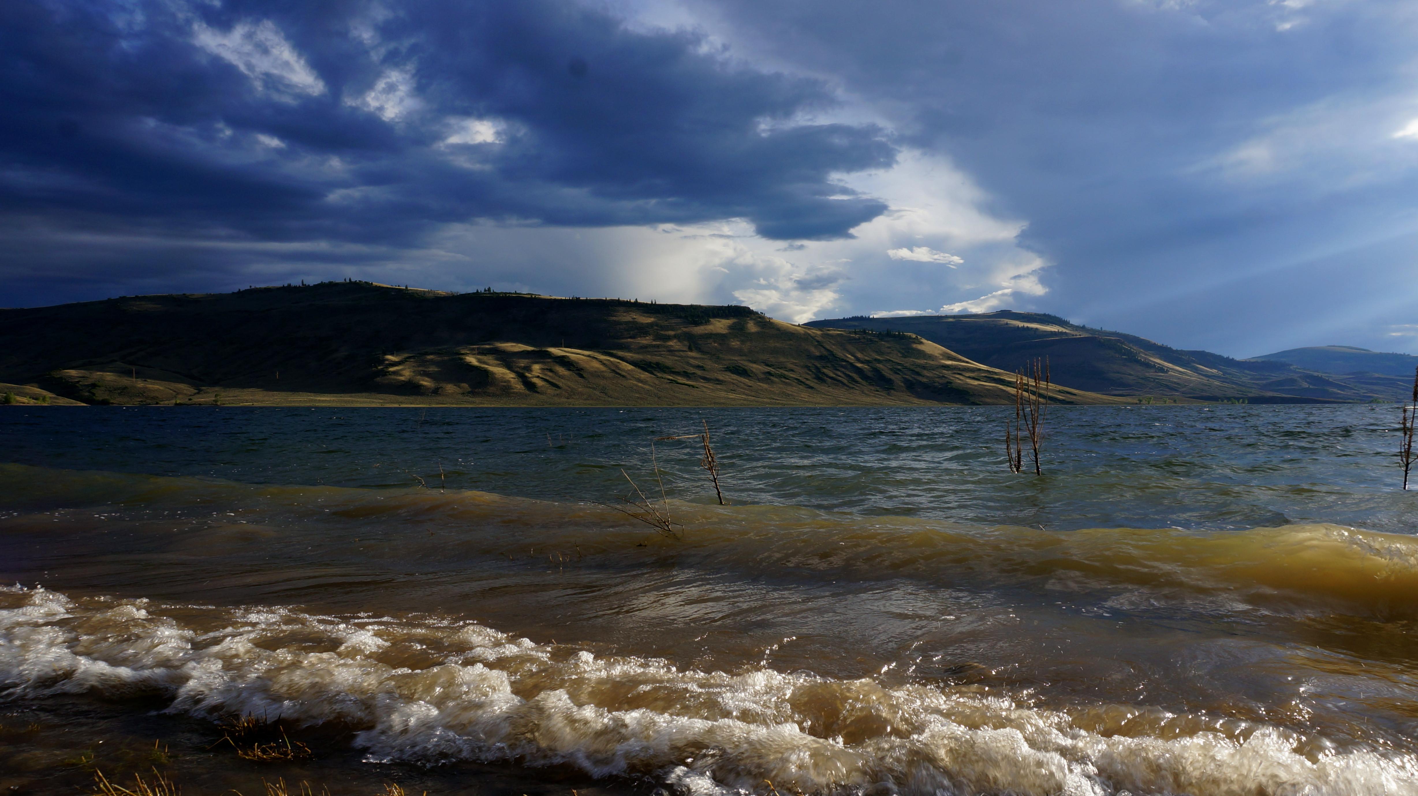
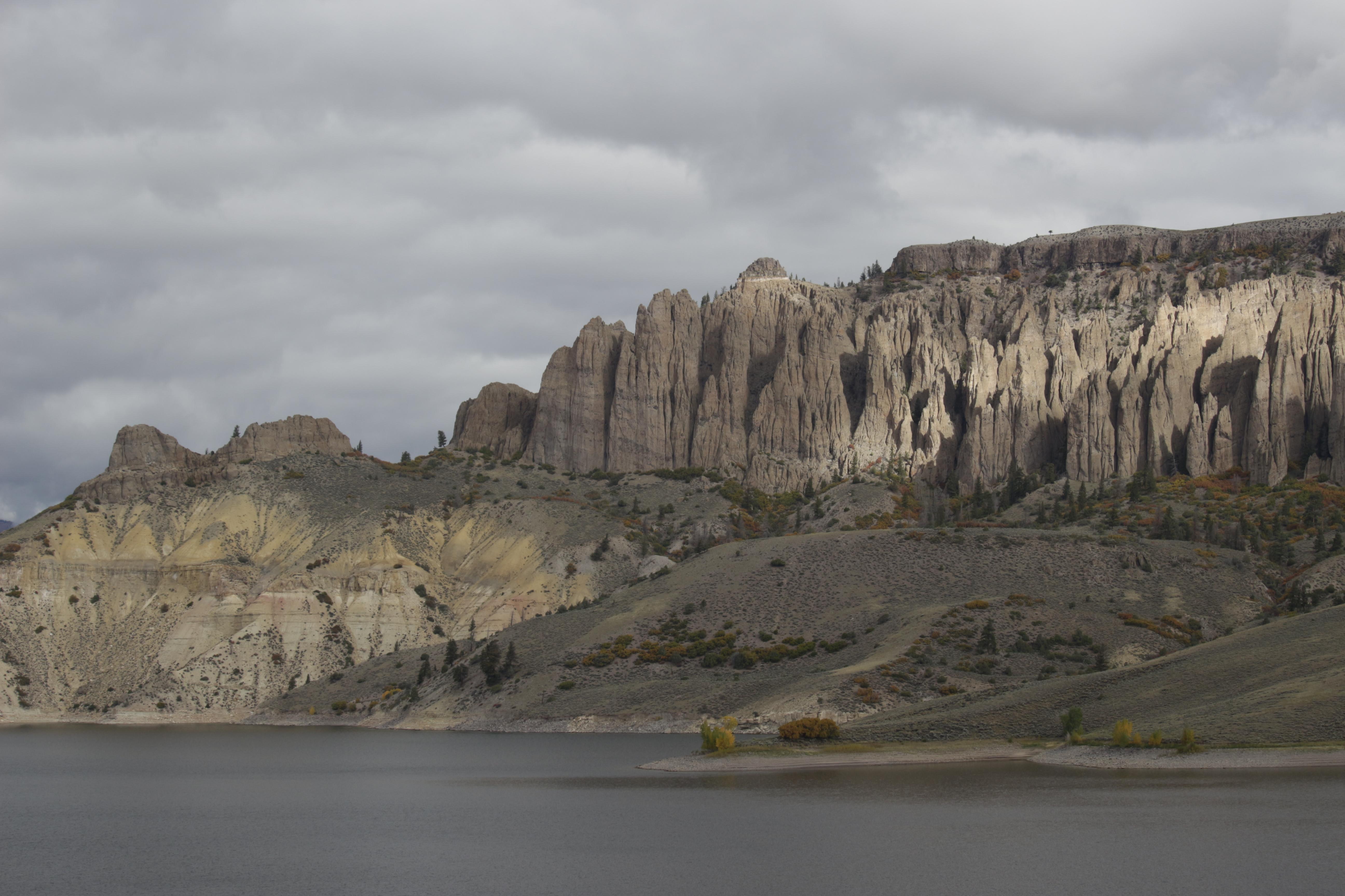
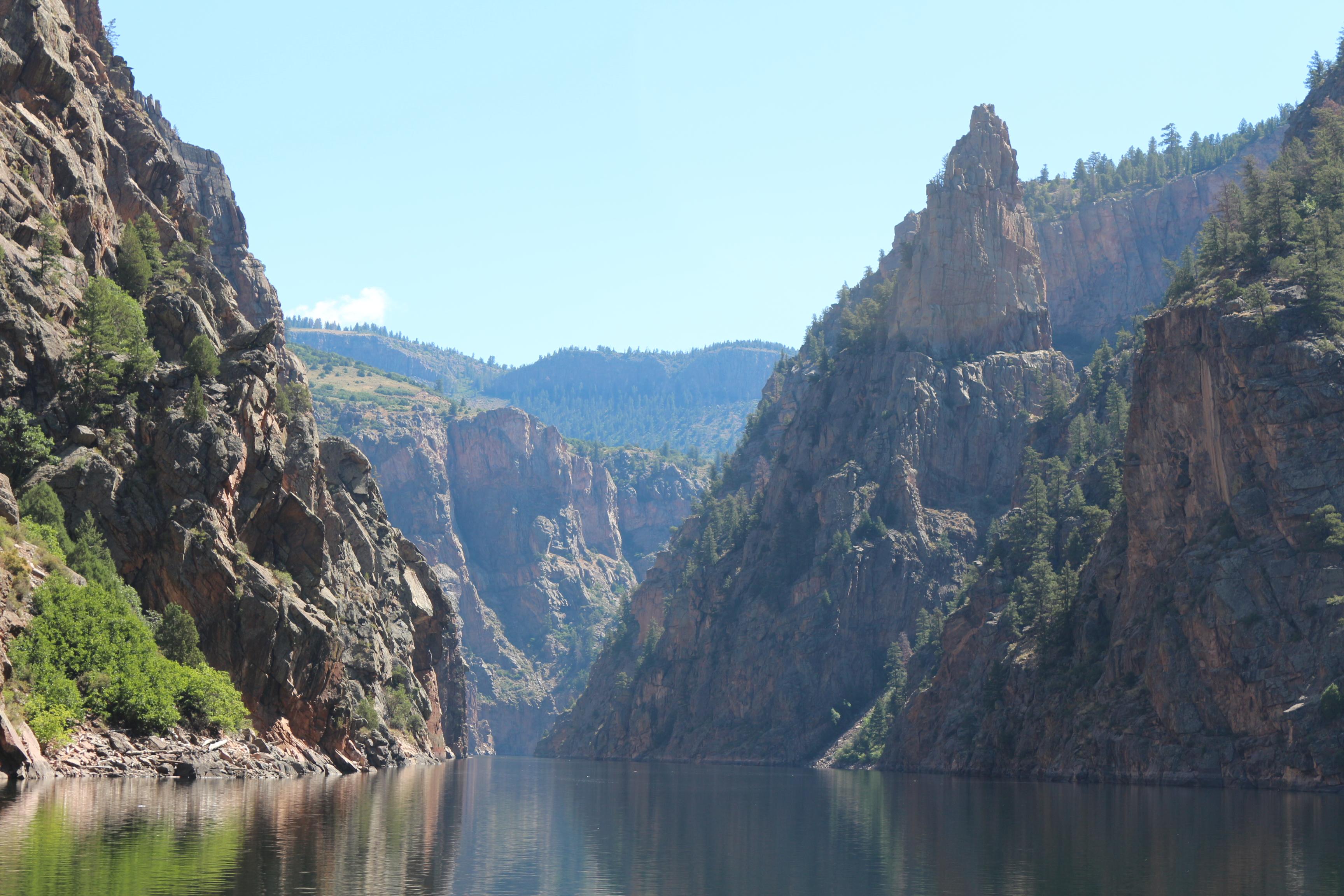
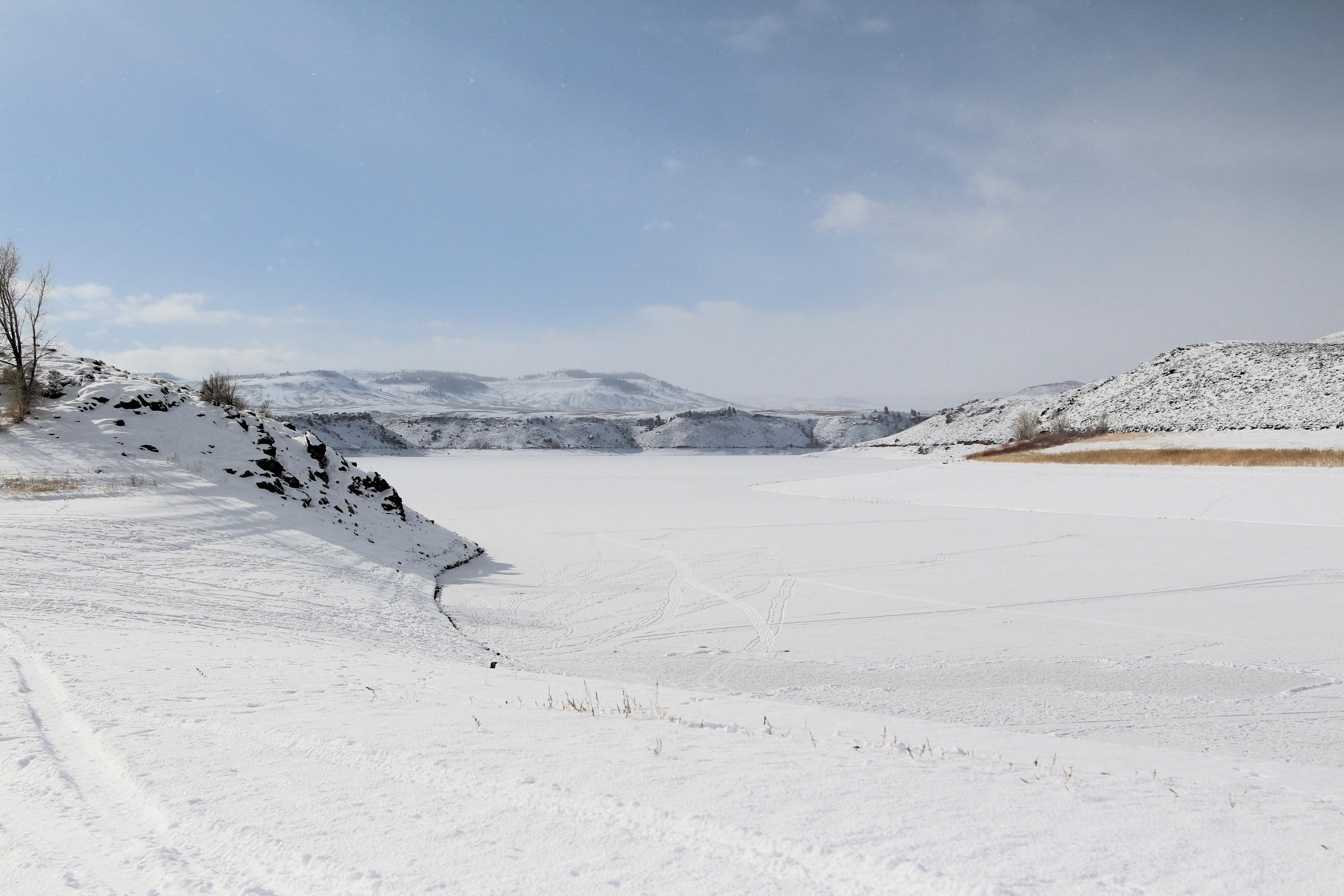
Three reservoirs and surrounding lands make up this recreation area in western Colorado. It is a landscape of tradeoffs; natural and human made features exist together. Geologic wonders are abundant from the sagebrush shrublands to forests. Visitors can experience the park year-round on both land and water.
Plan a Visit
Core visitor information on this page is sourced from the National Park Service. NPD proximity sections use NPS reference coordinates and straight-line distance. Local source bundle updated Sep 27, 2026. View the official NPS page.
Weather & Conditions
During spring and fall, temperatures range from 44°F to 70°F (7°C to 34°C) with overnight lows from the teens to about freezing (-9°C to 2°C). In summer, temperatures are usually in the 70°F to 80°F (21°C to 27°C). Nights are usually 40°F to 50°F (4°C to 10°C). The wind often…
NPS Reference Location
Park state / territory membership: Colorado. This map uses the National Park Service reference coordinate. It may represent an administrative or reference point rather than a park entrance, trailhead, visitor center, or the nearest access point. Use the official NPS directions below when planning travel.
Operating Hours
Open 24 hours per day, 365 days a year.
Activities
Current Alerts
Cyanotoxins are currently present in the Iola Basin. Until further notice, the park recommends that no person or pet swims in, or drinks from, reservoir waters in the Iola Basin. Cyanotoxins may be present in the Cebolla and Sapinero Basins. Use caution when fishing, boating, or recreating in Blue Mesa Reservoir.
Getting There
Curecanti is located between the Colorado towns of Gunnison (to the east), Montrose (to the west), and Lake City (to the south). The West Elk Mountain Wilderness area borders Curecanti to the north. U.S. Highway 50 runs the length of Curecanti east to west.
View Official DirectionsContact & Address
The NPS-listed address may be an administrative office, visitor center, mailing/contact location, or other park facility rather than a park entrance.
Topics & Themes
Things To Do
Hike Curecanti Creek Trail
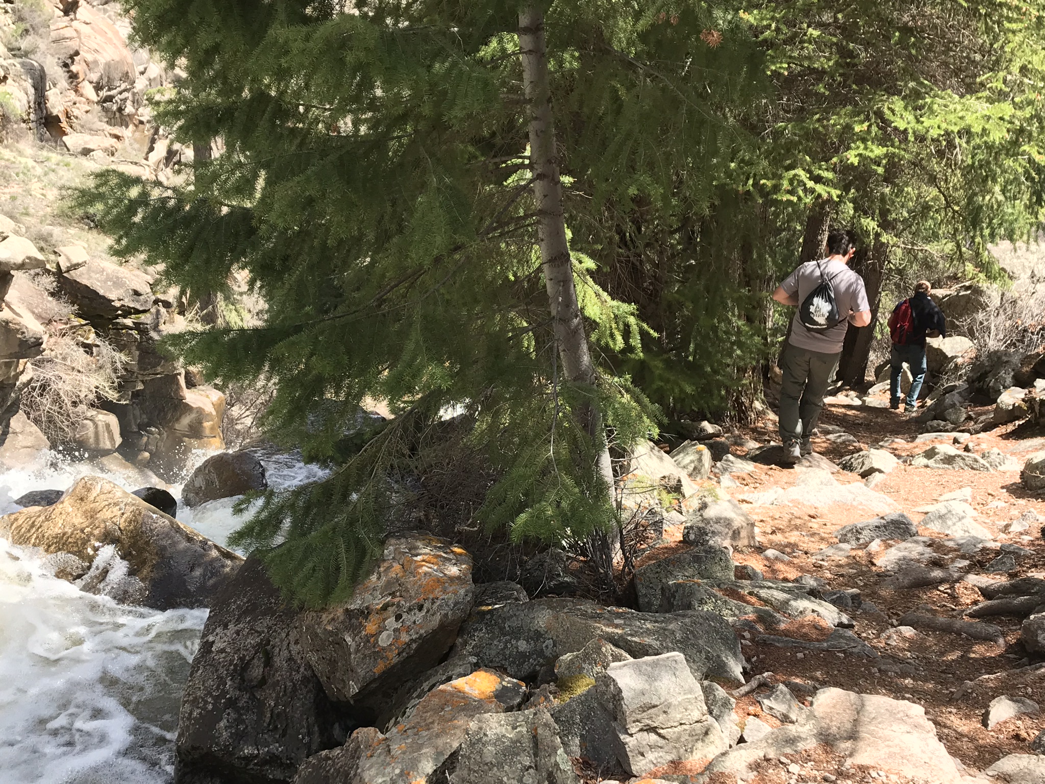
After descending from the high rim of the Upper Black Canyon of the Gunnison, the trail follows Curecanti Creek as…
Hike Pine Creek Trail
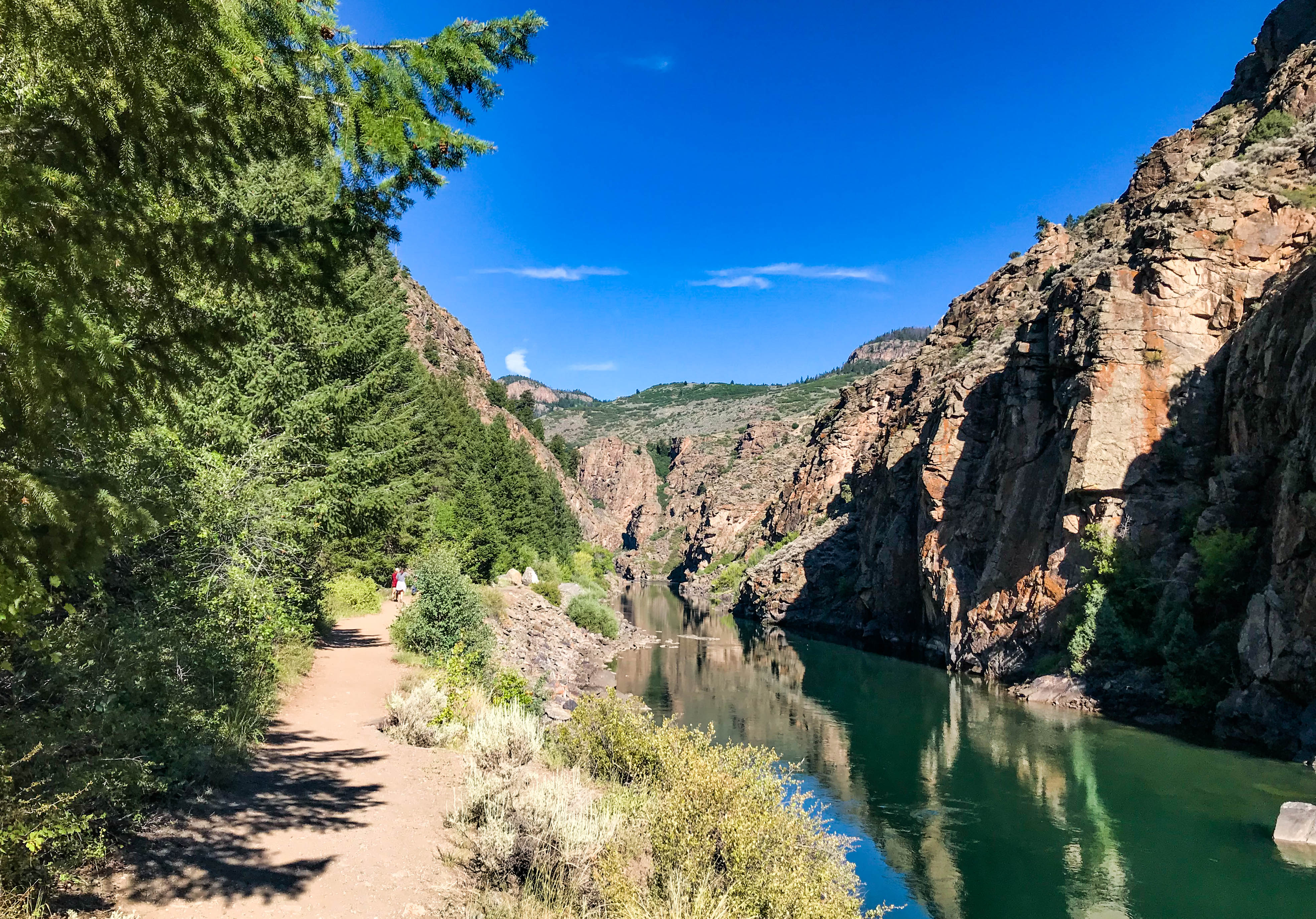
This trail follows Pine Creek as it cascades into the depths of the upper Black Canyon to Morrow Point Reservoir.…
Boat on Morrow Point Reservoir
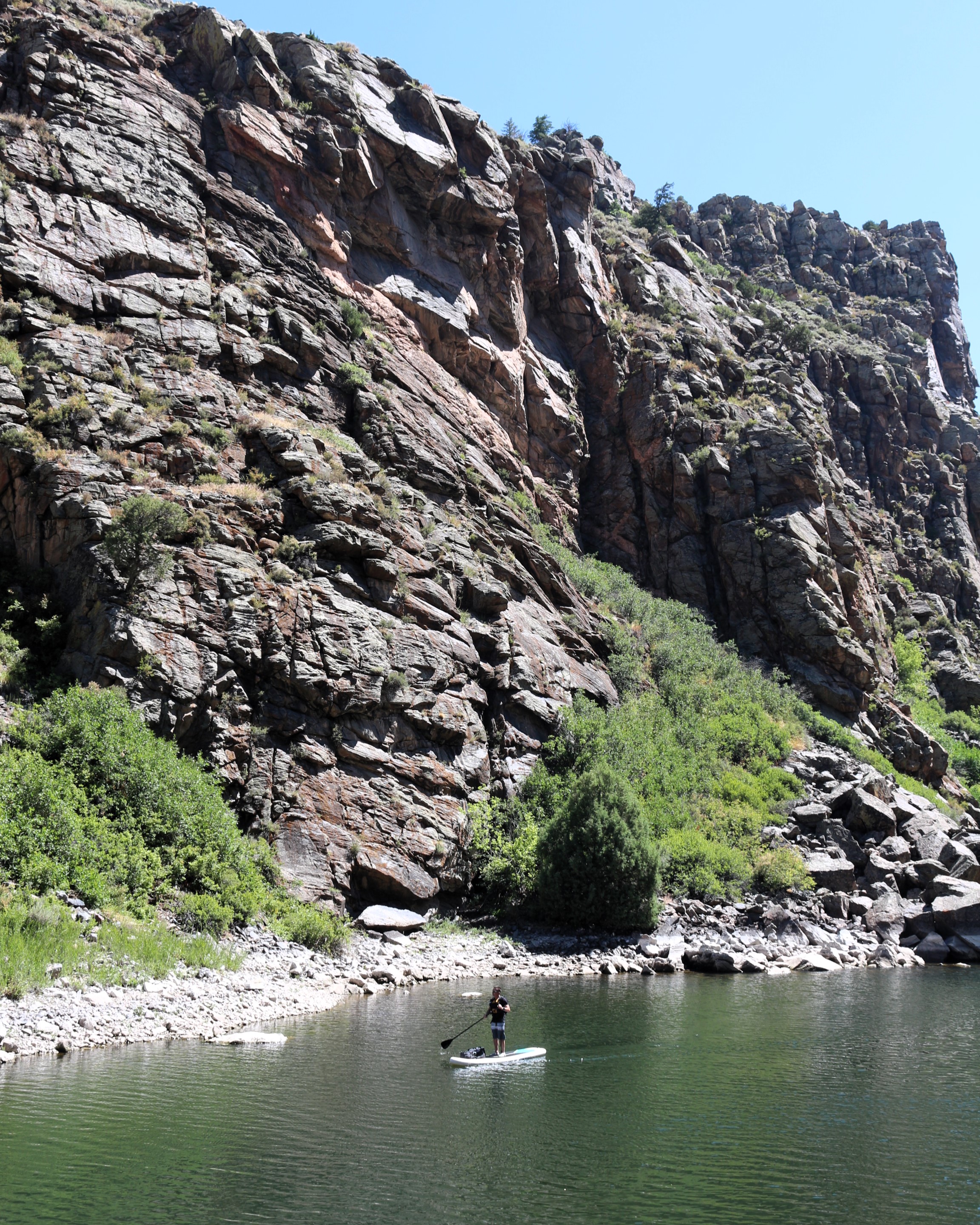
For the more adventurous, Morrow Point Reservoir is a great location for canoeing or kayaking. The easiest access to launch…
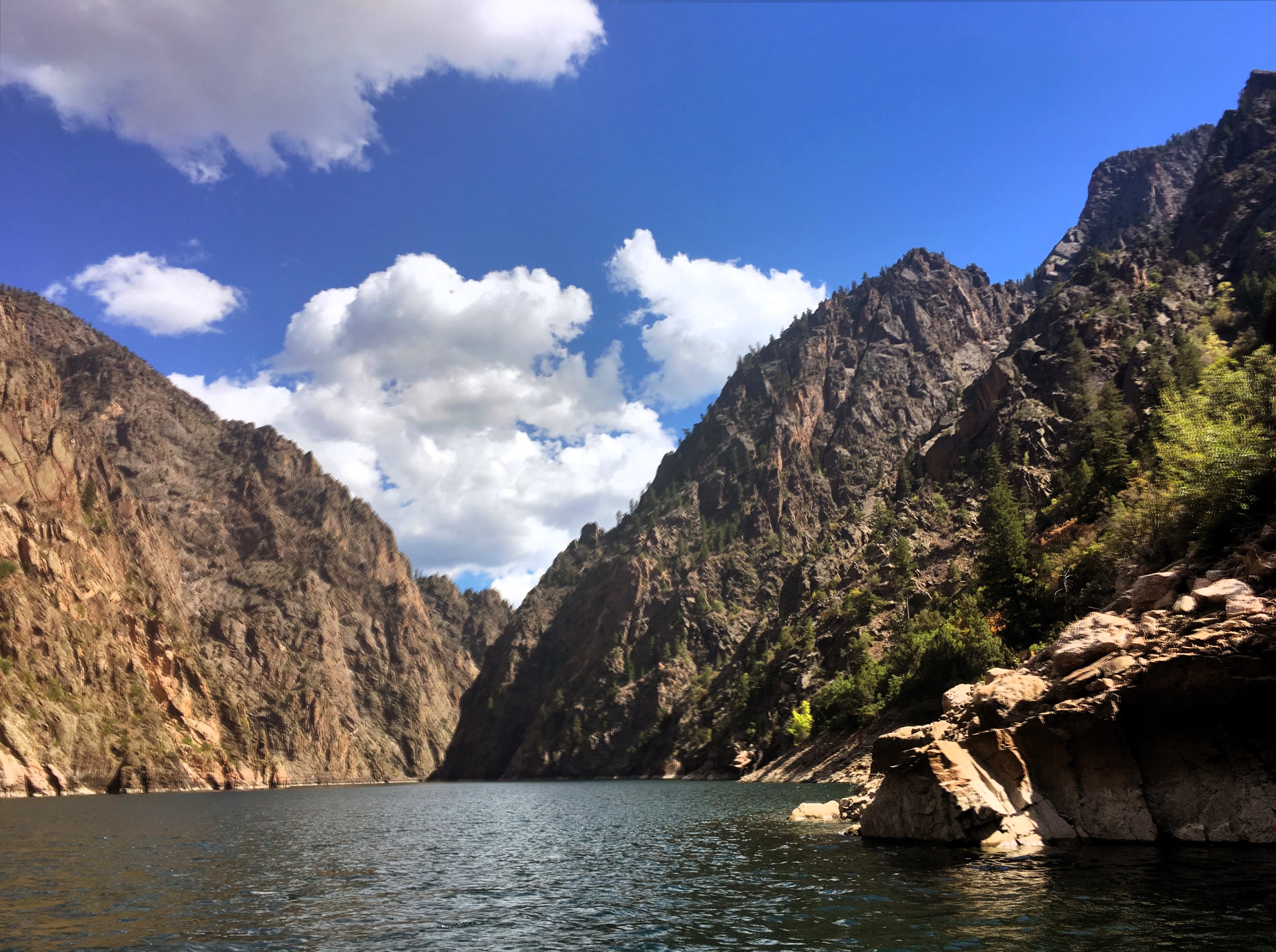
Boat on Crystal Reservoir
Crystal Reservoir provides backcountry flatwater boating opportunities. Hand-carried craft only. Access is from Mesa Creek Trail located at Cimarron.
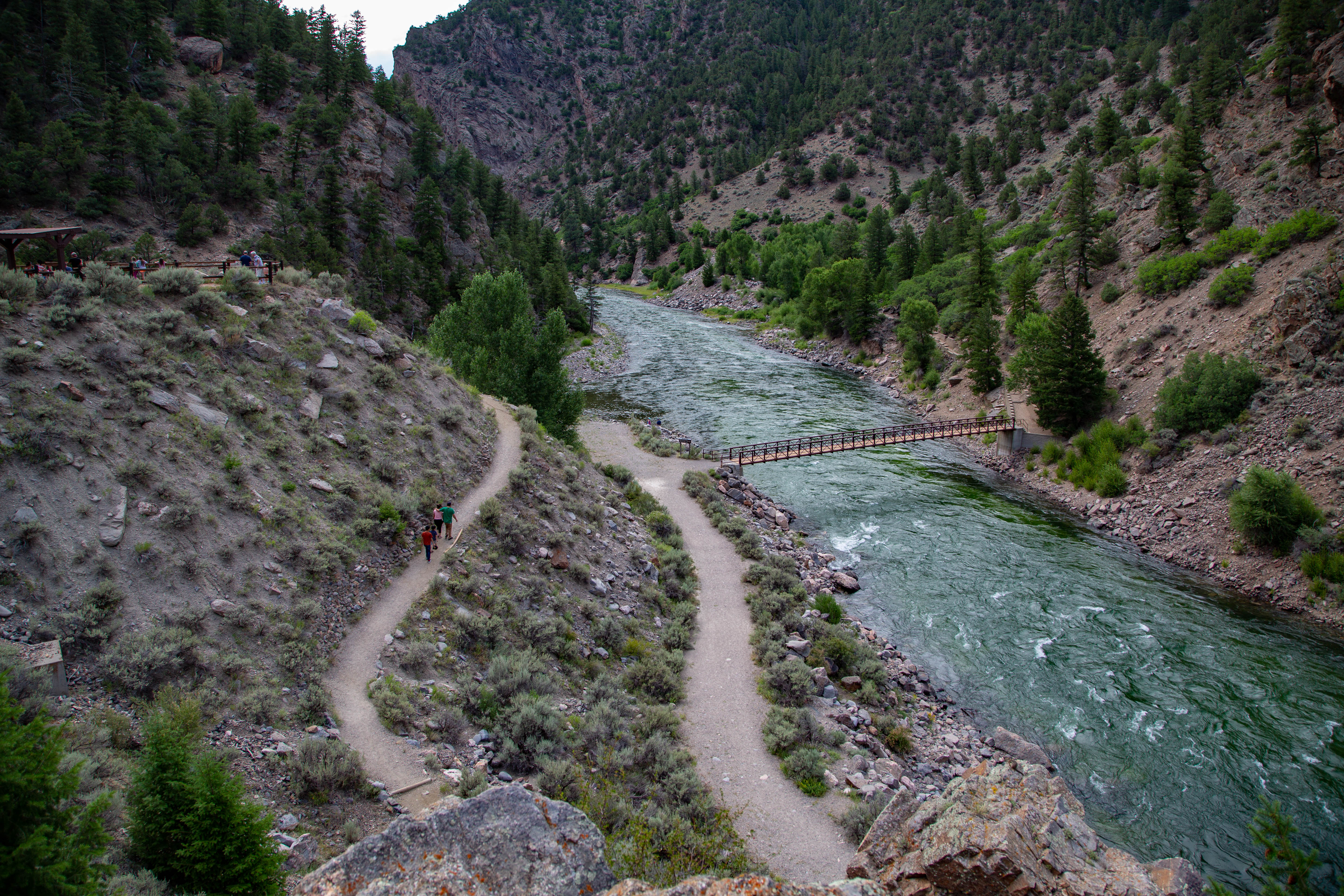
Hike Mesa Creek Trail
This trail crosses Crystal Reservoir via footbridge and meanders along the river's edge for views of the sheer canyon walls.
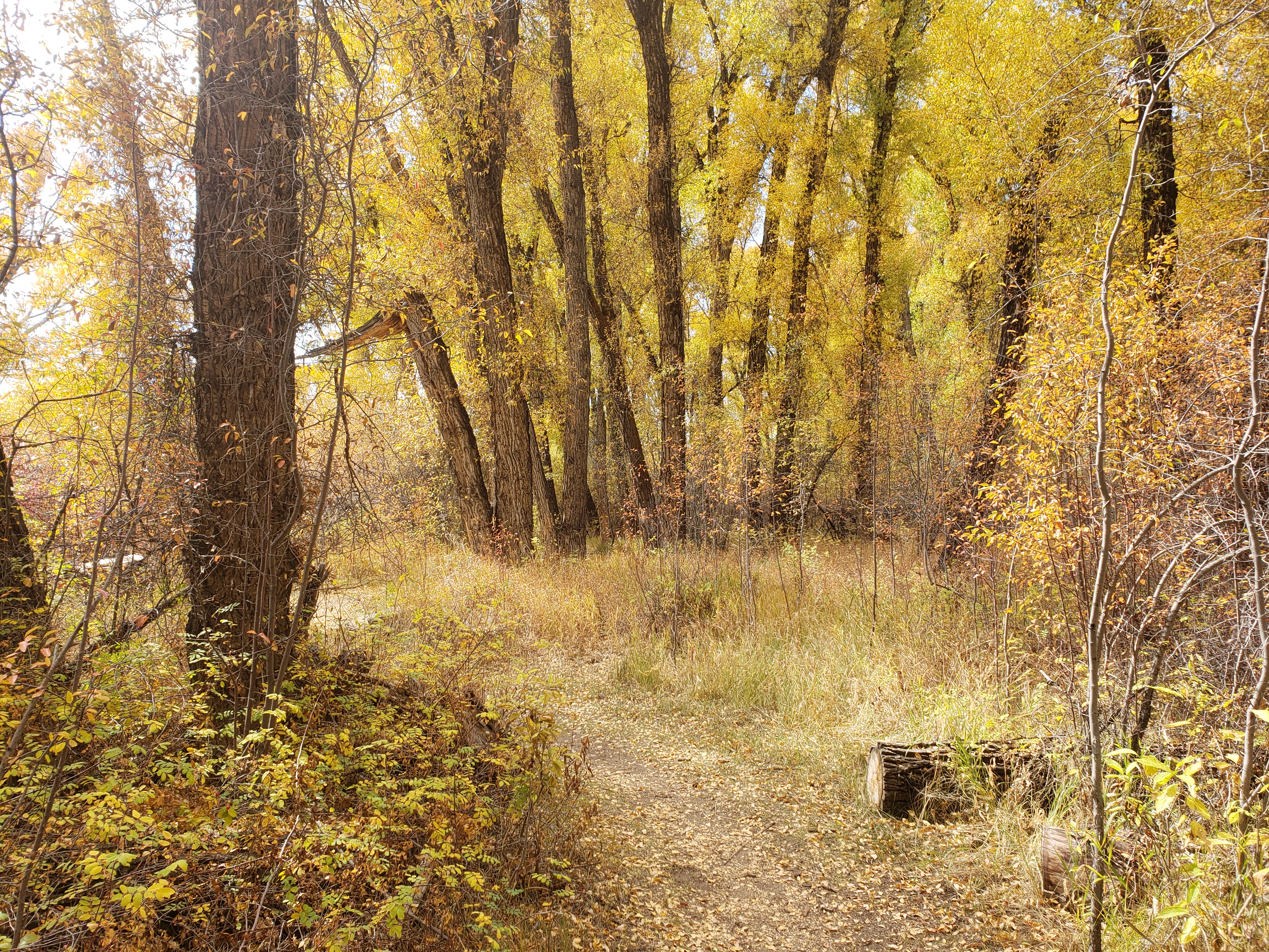
Hike Neversink Trail
This short trail is located nearest to Gunnison along the Gunnison River and provides good birdwatching opportunities.
More Things to Do
Additional activities and experiences from the National Park Service.
Boat on Blue Mesa Reservoir
Blue Mesa Reservoir, the largest body of water in Colorado, has 96 miles of shoreline and provides opportunities for motorboating, paddleboarding, kayaking,…
Hike Dillon Pinnacles
Ascending through sagebrush, ponderosa pine and riparian habitats, this 1.9-mile (3.2 km) trail offers spectacular views of Blue Mesa Reservoir, the distant…
Fishing at Curecanti
Fishing is allowed along the Gunnison River and all three reservoirs of Curecanti National Recreation Area. All Colorado State fishing regulations apply.
Drive East Portal Road
East Portal Road is a windy, steep scenic road down to the Gunnison River. East Portal is within Curecanti National Recreation Area,…
Hike Hermits Rest Trail
Zigzagging through oak, pine, juniper, and fir, hikers descend more than 1750 ft (531 m) to a wooded camp and picnic sites…
Drive U.S. Highway 50
U.S. Highway 50 travels west from Gunnison and brings you into Curecanti National Recreation Area. The highway follows along the Gunnison River before…
Drive CO Highway 92
Colorado (CO) Highway 92 crosses over Blue Mesa Dam and winds along the north rim of the Black Canyon, providing access to scenic…
Hike Crystal Creek Trail
Winding through abundant wildflowers, Gambel oak, aspens, conifers and a recovering burn area, Crystal Creek Trail is ideal for spring or fall…
Visitor Centers
Elk Creek Visitor Center
This visitor center provides information, exhibits, book and map sales, restrooms, and outdoor seating. Water is available inside when the building is open.
Campgrounds
Elk Creek Campground
Elk Creek Campground is located 16 miles west of Gunnison on U.S. Highway 50 on the shore of Blue Mesa Reservoir. We recommend making reservations prior…
Lake Fork Campground
The campground is located 27 miles west of Gunnison on CO Highway 92 near the intersection with U.S. Highway 50 on the shore of Blue…
Stevens Creek Campground
The campground is located 12 miles west of Gunnison on U.S. Highway 50 on the shore of Blue Mesa Reservoir. Tents to large RVs can…
Cimarron Campground
Cimarron Campground is located 20 miles (32 km) east of Montrose, CO on U.S. Highway 50 at the site of Cimarron, a historic narrow gauge…
Ponderosa Campground
Ponderosa Campground is located at the northwest end of the Soap Creek Arm of Blue Mesa Reservoir. From U.S. Highway 50, follow CO Highway 92…
Dry Gulch Campground
Dry Gulch Campground is located 17 miles west of Gunnison just north of U.S. Highway 50. The campground is shaded by large cottonwood trees and…
East Portal Campground
East Portal Campground is located within Curecanti National Recreation Area, but is adjacent to and only accessible from Black Canyon National Park ($30 entrance fee).…
East Elk Creek Group Campground
East Elk Creek is a group campsite that can accommodate a total of 50 people. The site is located 16.5 miles west of Gunnison just…
Red Creek Campground
Red Creek Campground is located 19 miles west of Gunnison just north of U.S. Highway 50. There is only 1 site--a group site available by…
Gateview Campground
Gateview Campground is located in a deep, narrow canyon at the extreme south end of the Lake Fork Arm of Blue Mesa Reservoir. Take CO…
Nearby National Park Service Sites
These sites are ordered by straight-line distance between NPS reference coordinates. This is useful for comparison, but it is not road mileage. Trails, parkways, rivers, and distributed units may extend far from their reference point.
Nearby Cities for Trip Planning
These cities are ordered by straight-line distance from the NPS reference coordinate. They are comparison starting points, not official park gateways or road-distance estimates. Trails and other distributed units may extend far beyond this reference point.
🗺️ Guided Tours & Experiences
Discover Curecanti National Recreation Area with expert-led tours
We earn a commission if you make a purchase, at no additional cost to you.
🏨 Search Lodging for Curecanti National Recreation Area
Review lodging results matching this park or site name
We earn a commission if you make a purchase, at no additional cost to you.