

About Aniakchak National Monument & Preserve
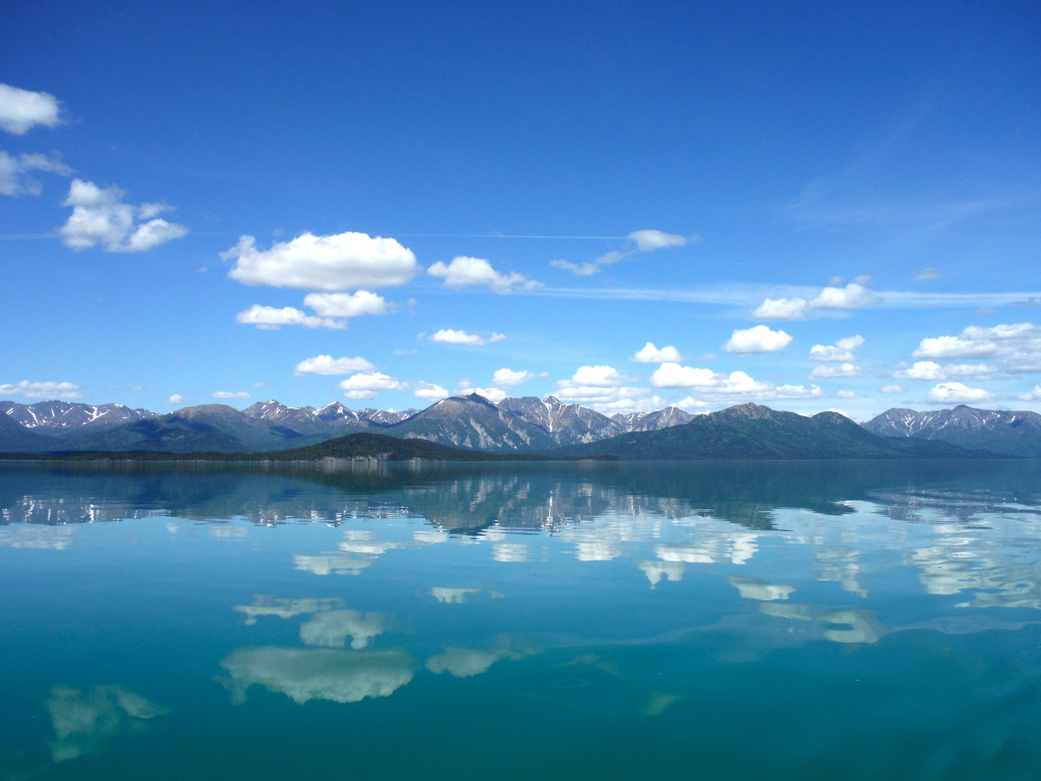
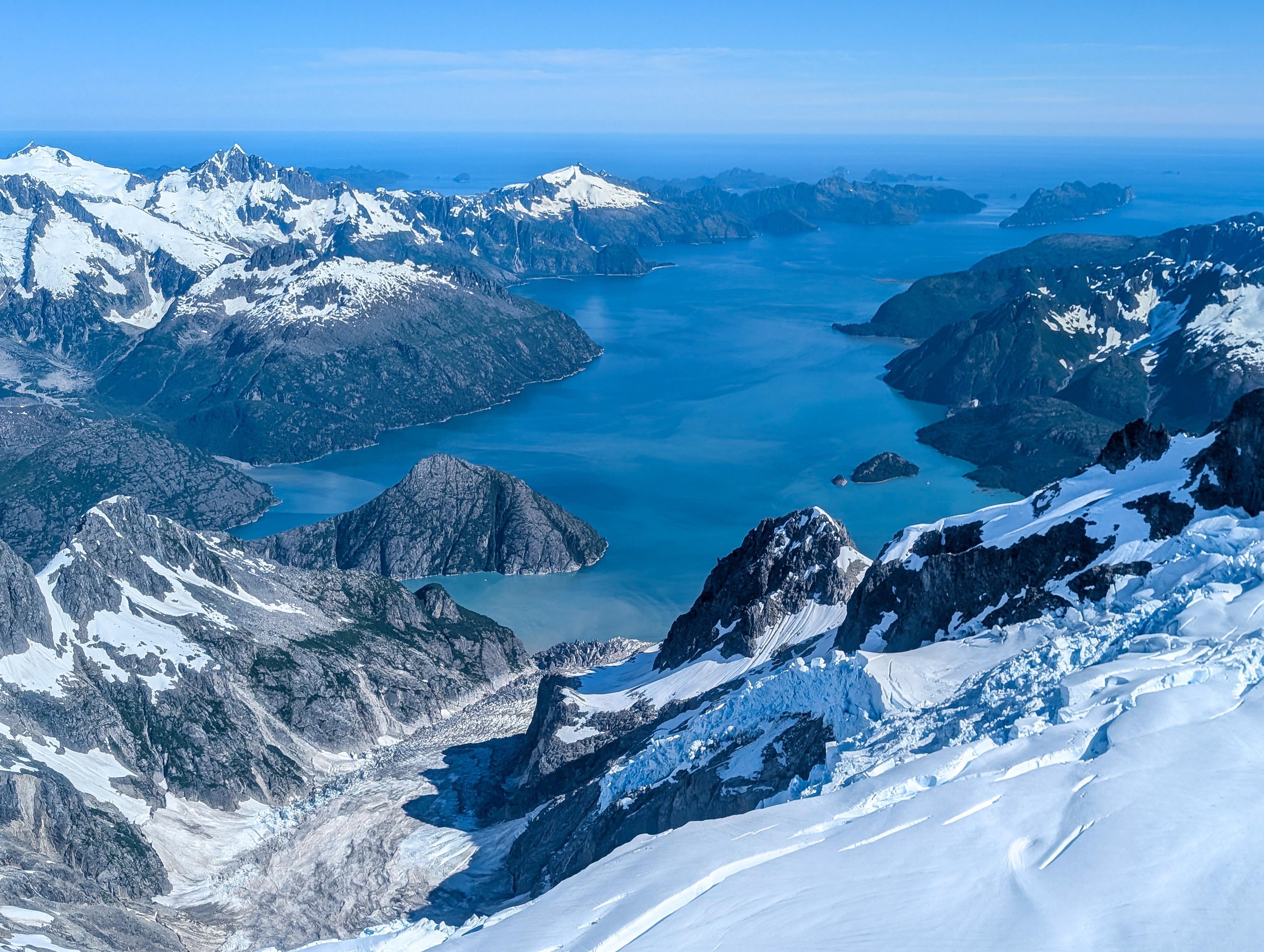
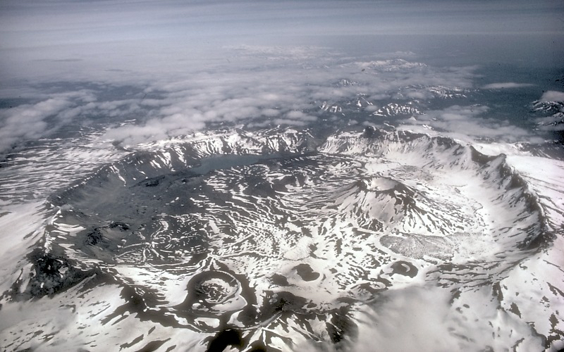
Given its remote location and challenging weather conditions, Aniakchak is one of the most wild and least visited places in the National Park System. This landscape is a vibrant reminder of Alaska's location in the volcanically active "Ring of Fire," as it is home to an impressive six mile (10 km) wide, 2,500 ft (762 m) deep caldera formed during a massive volcanic eruption 3,500 years ago.
Plan a Visit
Core visitor information on this page is sourced from the National Park Service. NPD proximity sections use NPS reference coordinates and straight-line distance. Local source bundle updated Sep 27, 2026. View the official NPS page.
Weather & Conditions
When you visit, be prepared to encounter all types of weather. On average, wet and cool conditions predominate in spring, summer, and fall. Strong winds can delay the departure and arrival of boats and floatplanes.
NPS Reference Location
Park state / territory membership: Alaska. This map uses the National Park Service reference coordinate. It may represent an administrative or reference point rather than a park entrance, trailhead, visitor center, or the nearest access point. Use the official NPS directions below when planning travel.
Operating Hours
Aniakchak National Monument is a truly primitive environment with no federally-maintained public facilities. The NPS imposes no operating hours or seasonal restrictions. Access to and movement within Aniachak, however, may be limited or restricted at any time depending upon prevailing weather conditions.
Activities
Getting There
Located on the Alaska Peninsula, 450 miles southwest of Anchorage, Aniakchak National Monument and Preserve is inaccessible by road. Notoriously bad weather makes access to Aniakchak unpredictable. Drop-offs and/or pick-ups may be significantly delayed.
View Official DirectionsContact & Address
The NPS-listed address may be an administrative office, visitor center, mailing/contact location, or other park facility rather than a park entrance.
Topics & Themes
Things To Do

Hike in Aniakchak's Wilderness
Aniakchak National Monument and Preserve is a wilderness park without built infrastructure or any trails. Here, you chose your own adventure.

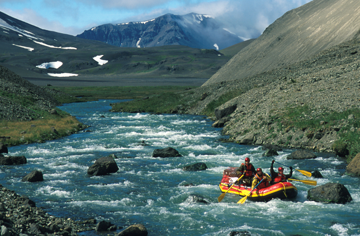
Raft the Aniakchak River
Rafting Aniakchak River is both a challenging and rewarding experience.
Visitor Centers
King Salmon Visitor Center
Located next door to the King Salmon Airport, the King Salmon Visitor Center provides information on the many federal public lands of Southwest Alaska, particularly…
Nearby National Park Service Sites
These sites are ordered by straight-line distance between NPS reference coordinates. This is useful for comparison, but it is not road mileage. Trails, parkways, rivers, and distributed units may extend far from their reference point.