




About Kenai Fjords National Park
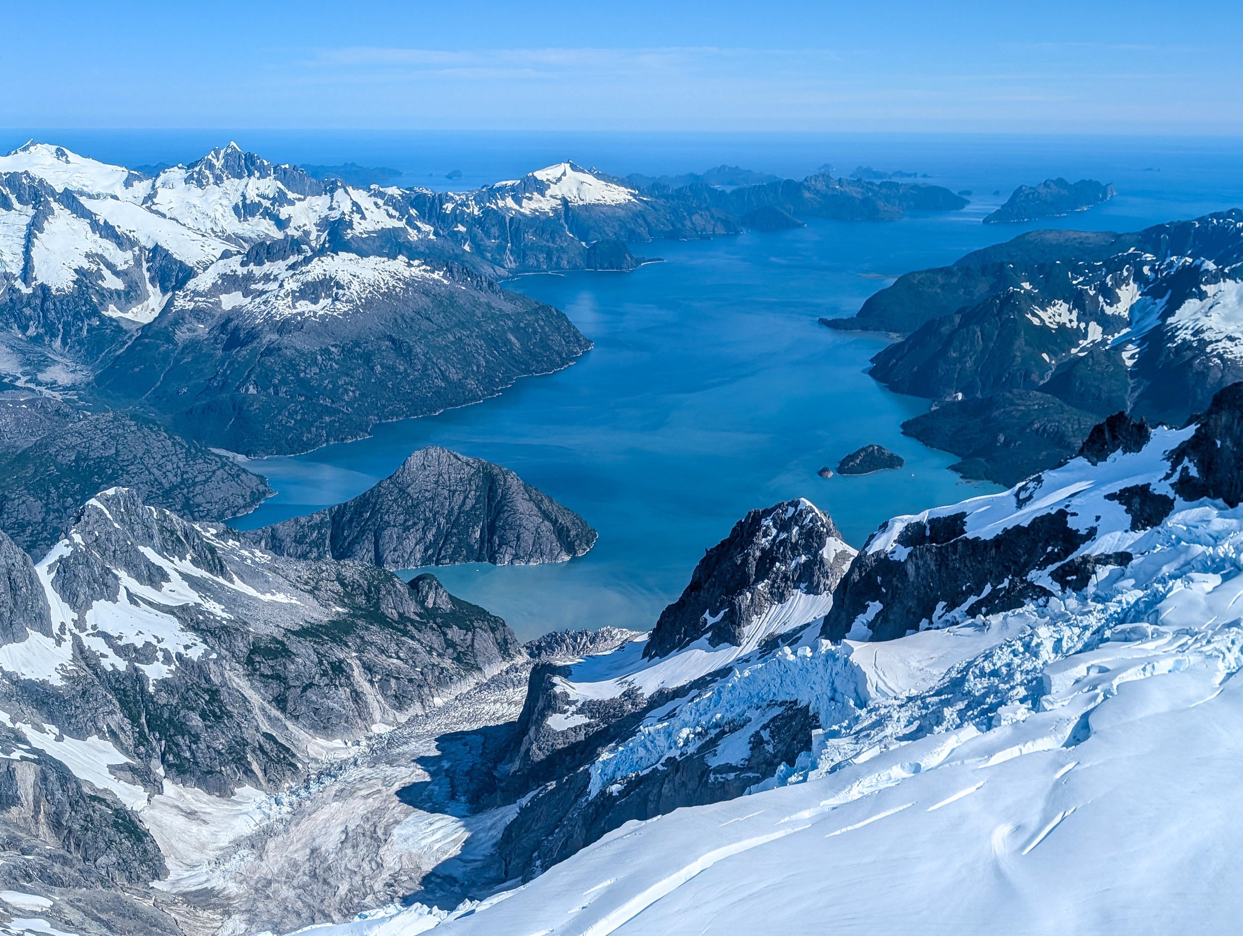
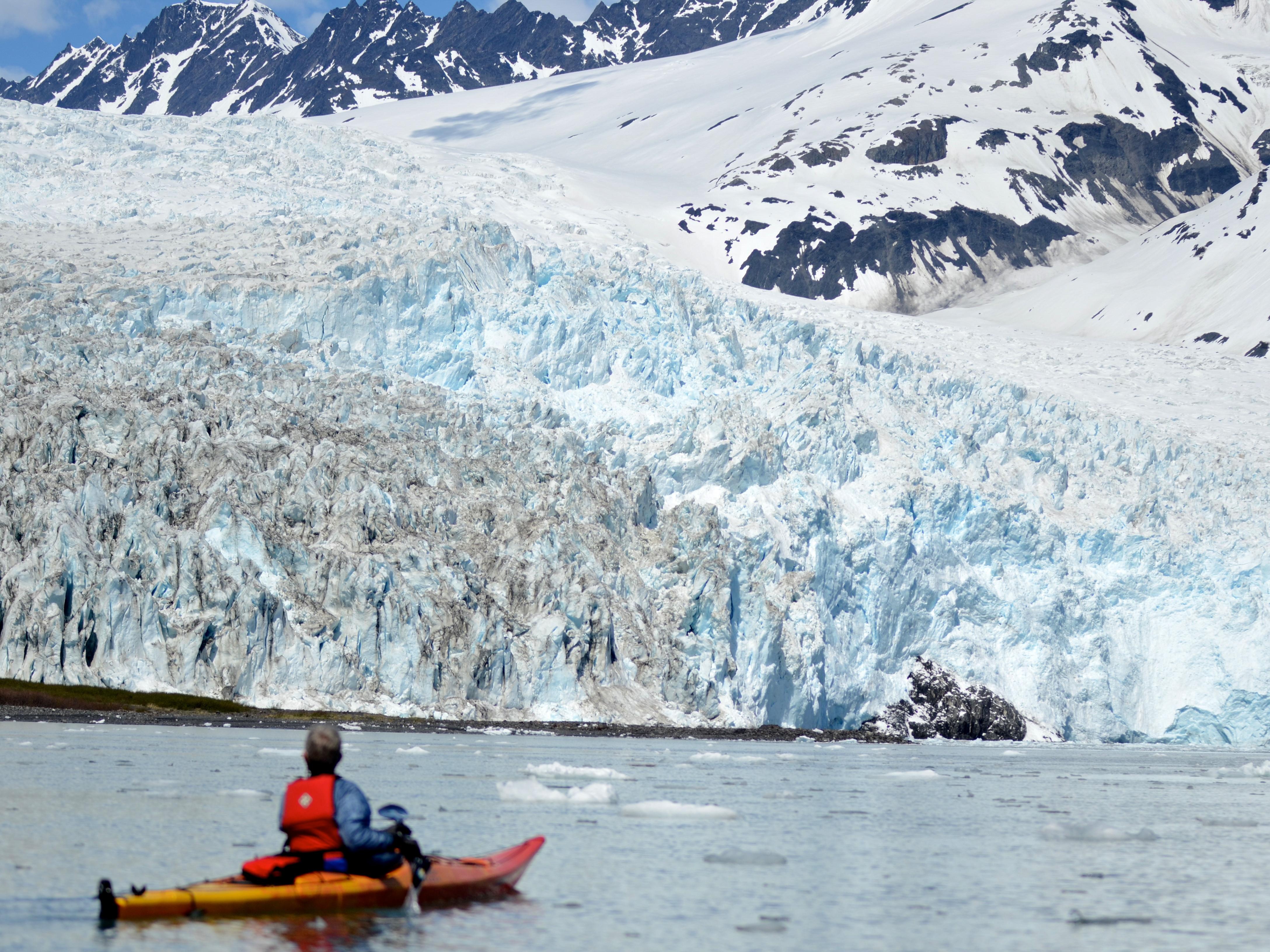
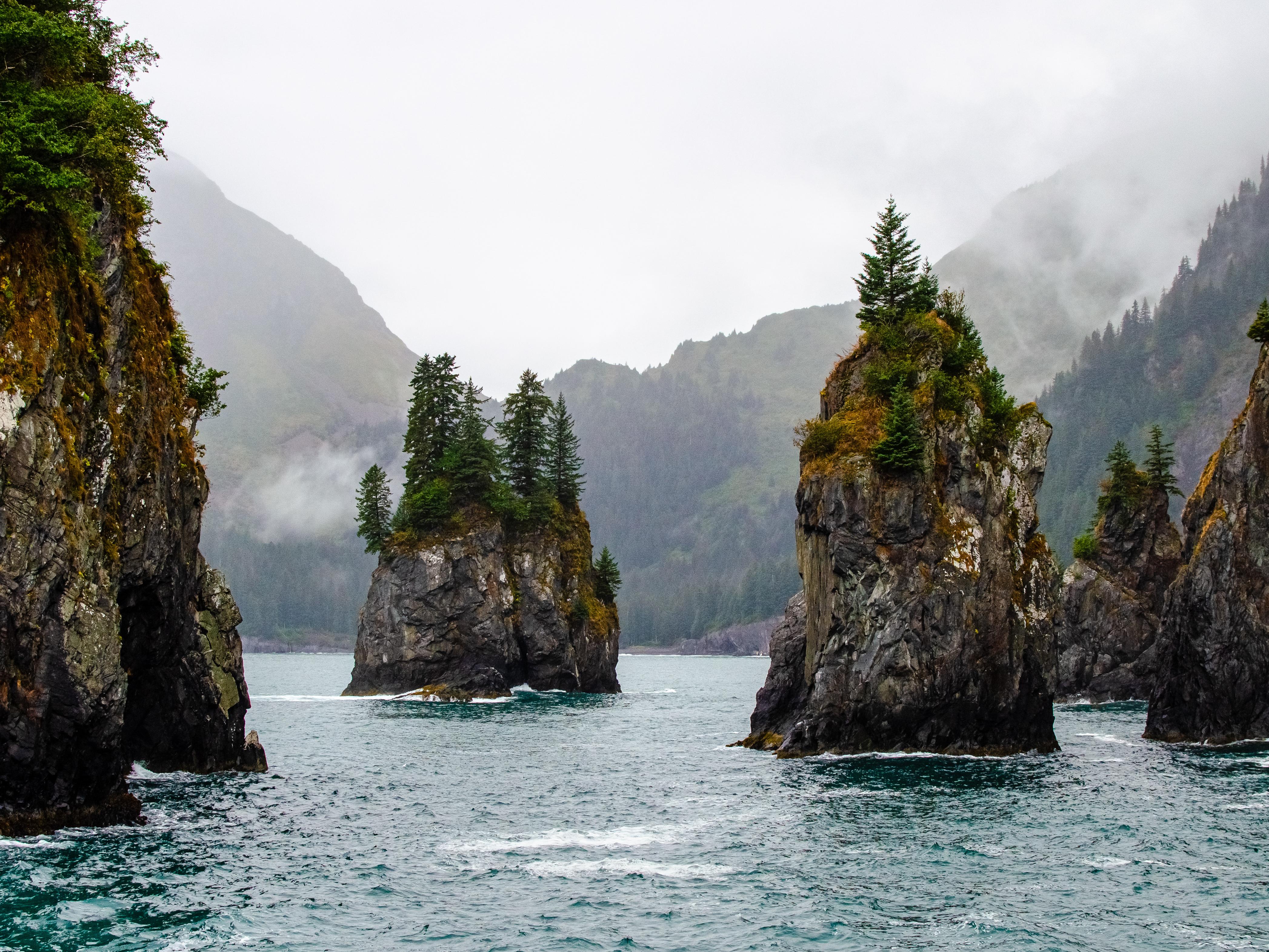
At the edge of the Kenai Peninsula lies a land where the ice age lingers. Nearly 40 glaciers flow from the Harding Icefield, Kenai Fjords' crowning feature. Wildlife thrives in icy waters and lush forests along the fjords once carved by the vast expanse of ice. Today, shrinking glaciers bear witness to the effects of our changing climate.
Plan a Visit
Core visitor information on this page is sourced from the National Park Service. NPD proximity sections use NPS reference coordinates and straight-line distance. Local source bundle updated Sep 27, 2026. View the official NPS page.
Weather & Conditions
The weather in Kenai Fjords is difficult to predict and can change rapidly. The area generally enjoys a relatively temperate maritime climate, primarily due to the influence of warmer ocean currents that flows through the Gulf of Alaska. Summer daytime temperatures range from the mid 40s°F to the low 70s°F.…
NPS Reference Location
Park state / territory membership: Alaska. This map uses the National Park Service reference coordinate. It may represent an administrative or reference point rather than a park entrance, trailhead, visitor center, or the nearest access point. Use the official NPS directions below when planning travel.
Operating Hours
The park is open year-round. The primary months to visit are June, July, and August. There are reduced services in the area during the months of May and September. The road to the Exit Glacier area is not plowed during the winter months, and is closed to vehicle traffic once it is covered in snow and ice. The park's coastal backcountry in also largely inaccessible late fall through the early spring due to rough seas.
Activities
Current Alerts
Entering an ice fall hazard zone is prohibited in Kenai Fjords National Park. The terminus of Aialik Glacier is a high-risk area, where unstable ice can fall in blocks or columns. This can generate localized tsunami waves that wash over newly deglaciated and nearby beaches. Rapidly collapsing ice and breakage can cause severe injury or death.
The canyon from the toe of Exit Glacier to where Exit Creek opens into the Outwash Plain is susceptible to sudden outburst flood events. These events produce sudden surges of water, ice and rock. For your safety please stick to designated park trails.
On August 7, 2024, a landslide triggered tsunami washed over portions of Pedersen Lagoon near Aialik Bay (59.8842N, -149.7309W). We recommend caution for those visiting the area in and around Pedersen Lagoon. Click more for additional information.
Getting There
Kenai Fjords National Park is located just outside the town of Seward in south-central Alaska, 126 miles south of Anchorage. Even though the park is often inaccessible during the winter months, Seward is accessible year-round via the Seward Highway, a National Scenic Byway. Follow the Seward Highway (AK-1) south from Anchorage. It will become AK-9 around mile 35 (87 miles from Anchorage) with AK-1 heading to Homer and Kenai. Continue on AK-9 to Seward.
View Official DirectionsContact & Address
The NPS-listed address may be an administrative office, visitor center, mailing/contact location, or other park facility rather than a park entrance.
Topics & Themes
Things To Do

Snowmobile in Kenai Fjords National Park
Explore Kenai Fjords National Park by snowmobile. Once the road to Exit Glacier is snow-covered and closed to cars, it…