
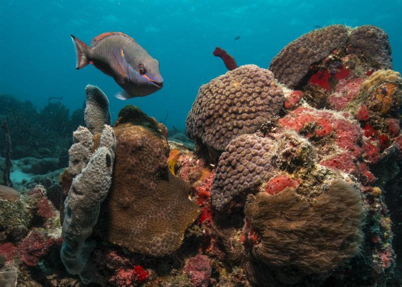
About Virgin Islands Coral Reef National Monument
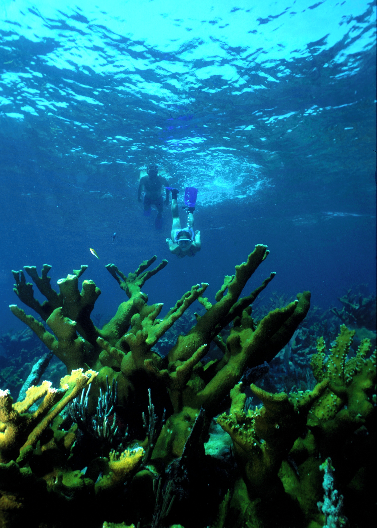
Virgin Islands Coral Reef National Monument includes federal submerged lands within the 3-mile belt off the island of St. John. These waters support a diverse and complex system of coral reefs and other ecosystems such as shoreline mangrove forests and seagrass beds.
Plan a Visit
Core visitor information on this page is sourced from the National Park Service. NPD proximity sections use NPS reference coordinates and straight-line distance. Local source bundle updated Sep 27, 2026. View the official NPS page.
Weather & Conditions
Mostly Perfect. The Tradewinds (the Easterlies) dominate the weather in the Virgin Islands, blowing east to west across the tropical Atlantic. The winter tends to bring stronger winds and less rain, and the summer tends to bring more rain and lighter winds.
NPS Reference Location
Park state / territory membership: U.S. Virgin Islands. This map uses the National Park Service reference coordinate. It may represent an administrative or reference point rather than a park entrance, trailhead, visitor center, or the nearest access point. Use the official NPS directions below when planning travel.
Operating Hours
Always open
Activities
Getting There
Once on St. John, the only part of Virgin Islands Coral Reef National Monument accessible by land is in Hurricane Hole. To get to Hurricane Hole, follow route 10 from Cruz Bay to Estate Hermitage. The Monument extends eastward from Borck Creek to Haulover Bay along the southern shoreline of the Island. Just a sliver of the Monument touches the north shore. To the west of the Monument line is National Park waters, and to the east is territorial waters.
View Official DirectionsContact & Address
The NPS-listed address may be an administrative office, visitor center, mailing/contact location, or other park facility rather than a park entrance.
Topics & Themes
Visitor Centers
Cruz Bay Visitor Center
Virgin Islands National Park and Virgin Islands Coral Reef National Monument Visitor Center is located in Cruz Bay.
Nearby National Park Service Sites
These sites are ordered by straight-line distance between NPS reference coordinates. This is useful for comparison, but it is not road mileage. Trails, parkways, rivers, and distributed units may extend far from their reference point.
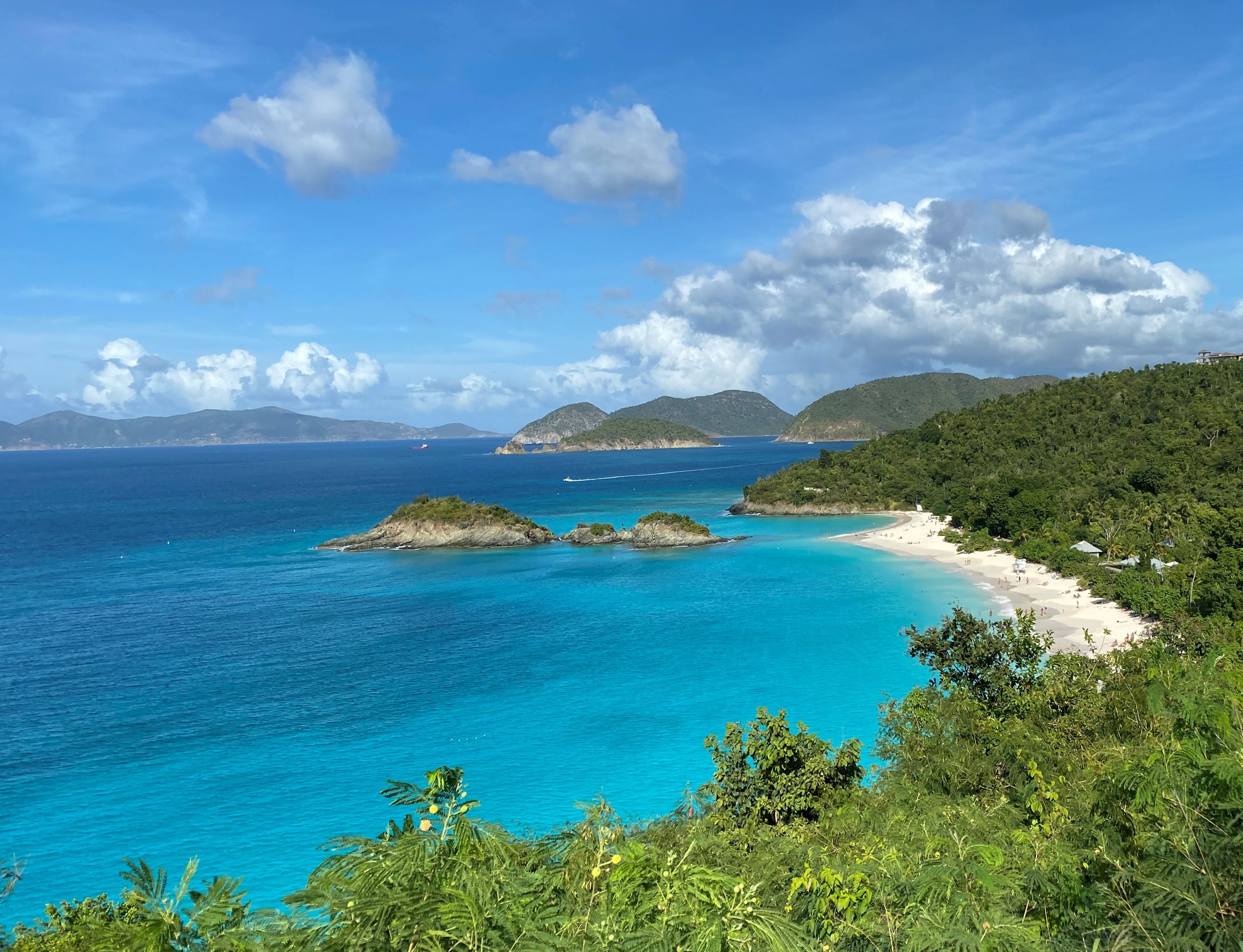
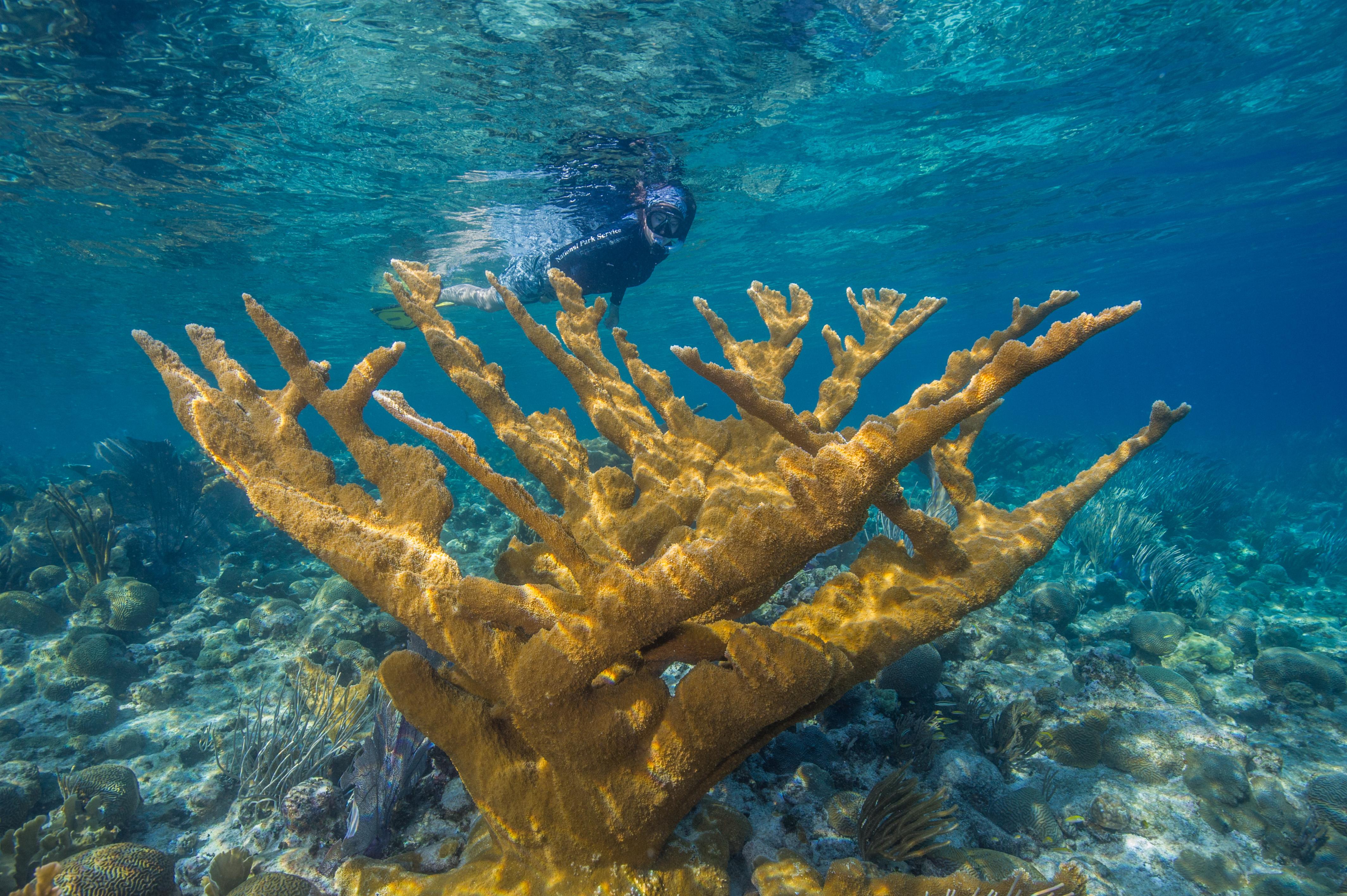
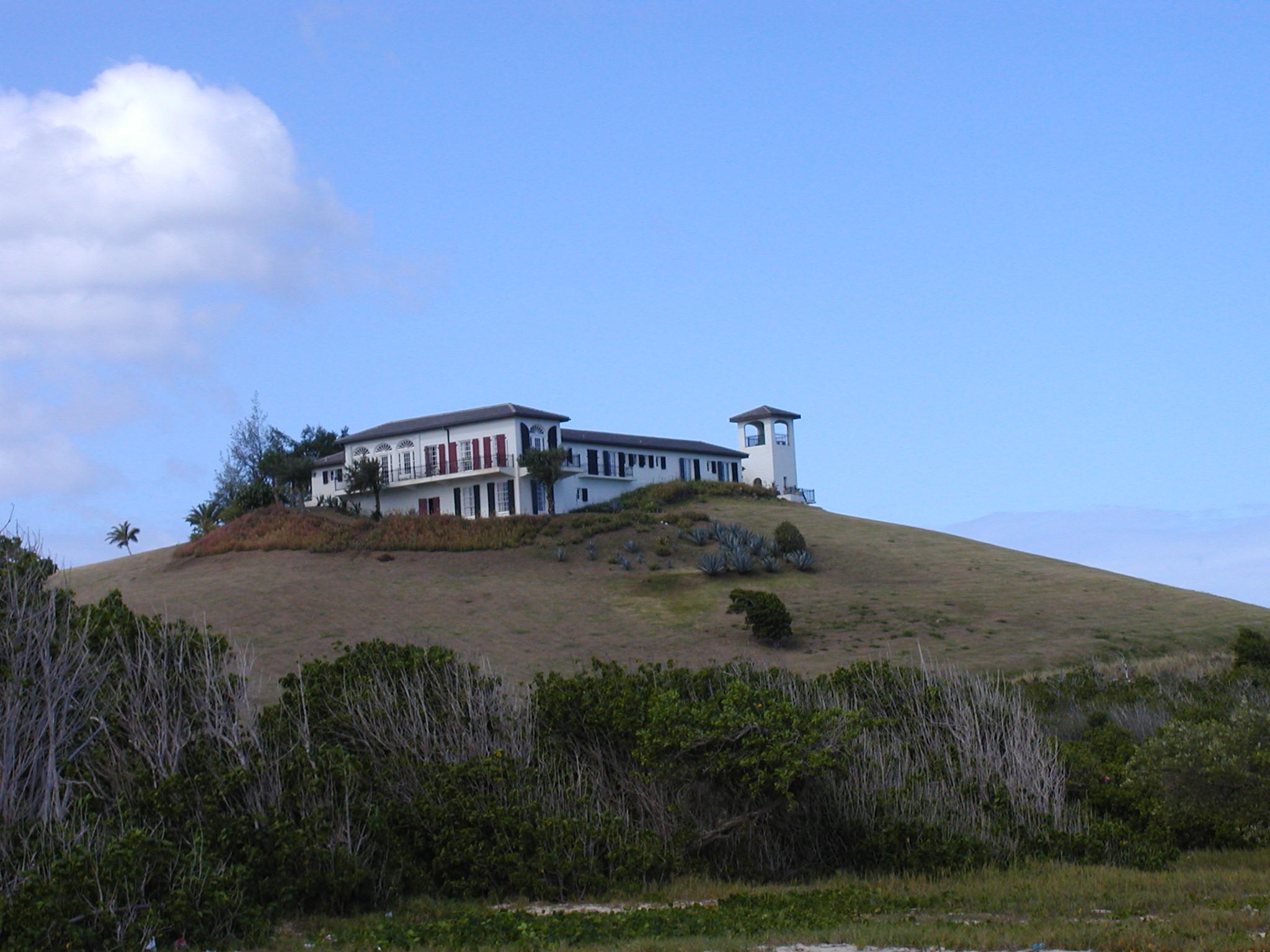
Nearby Cities for Trip Planning
These cities are ordered by straight-line distance from the NPS reference coordinate. They are comparison starting points, not official park gateways or road-distance estimates. Trails and other distributed units may extend far beyond this reference point.