
About Christiansted National Historic Site
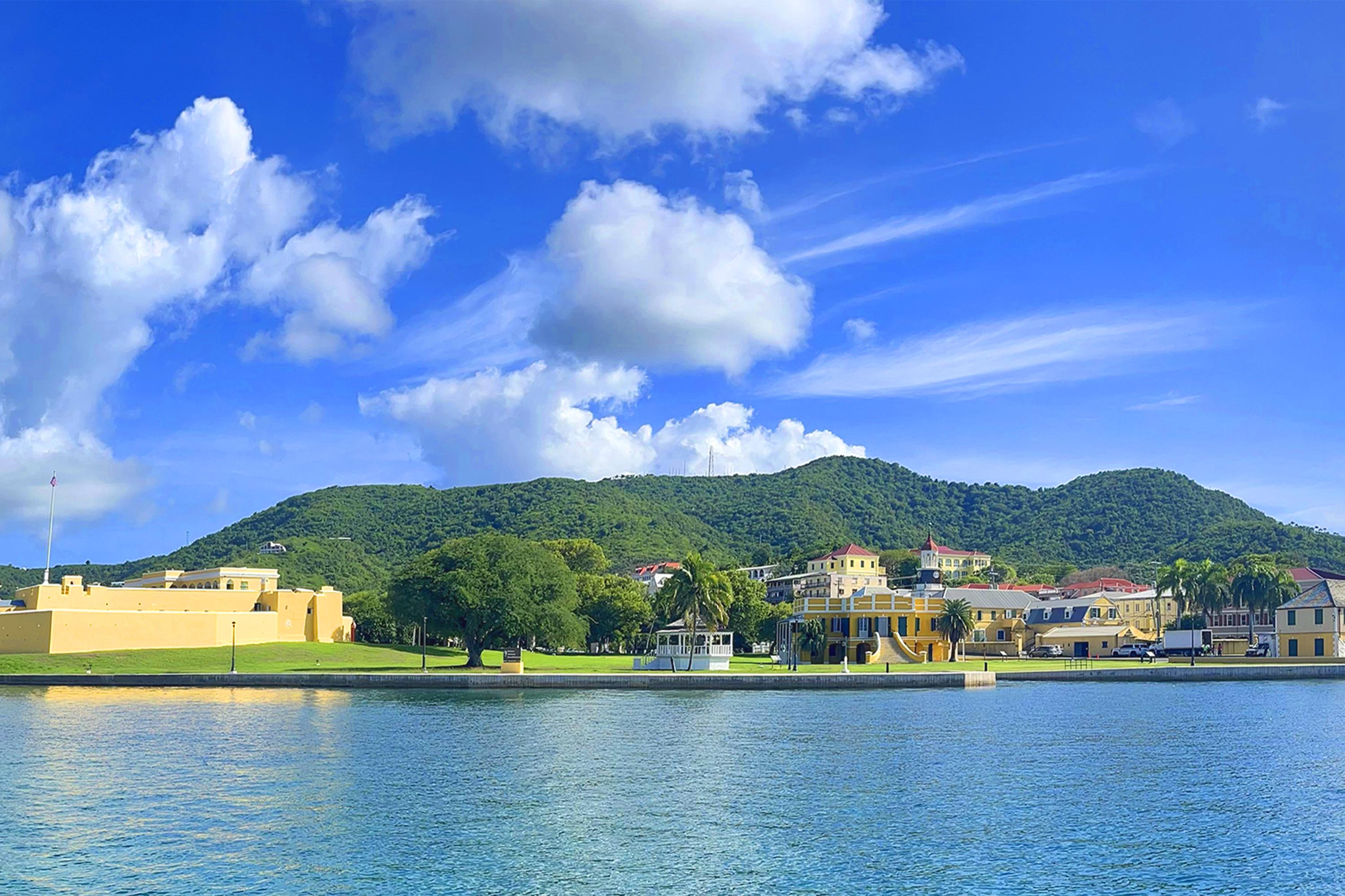
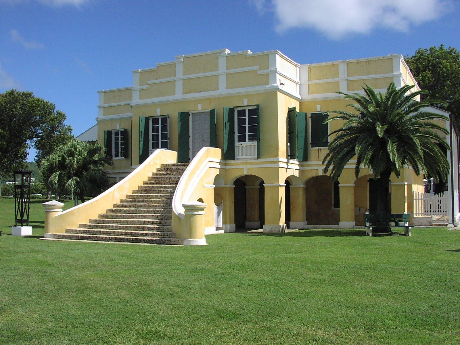
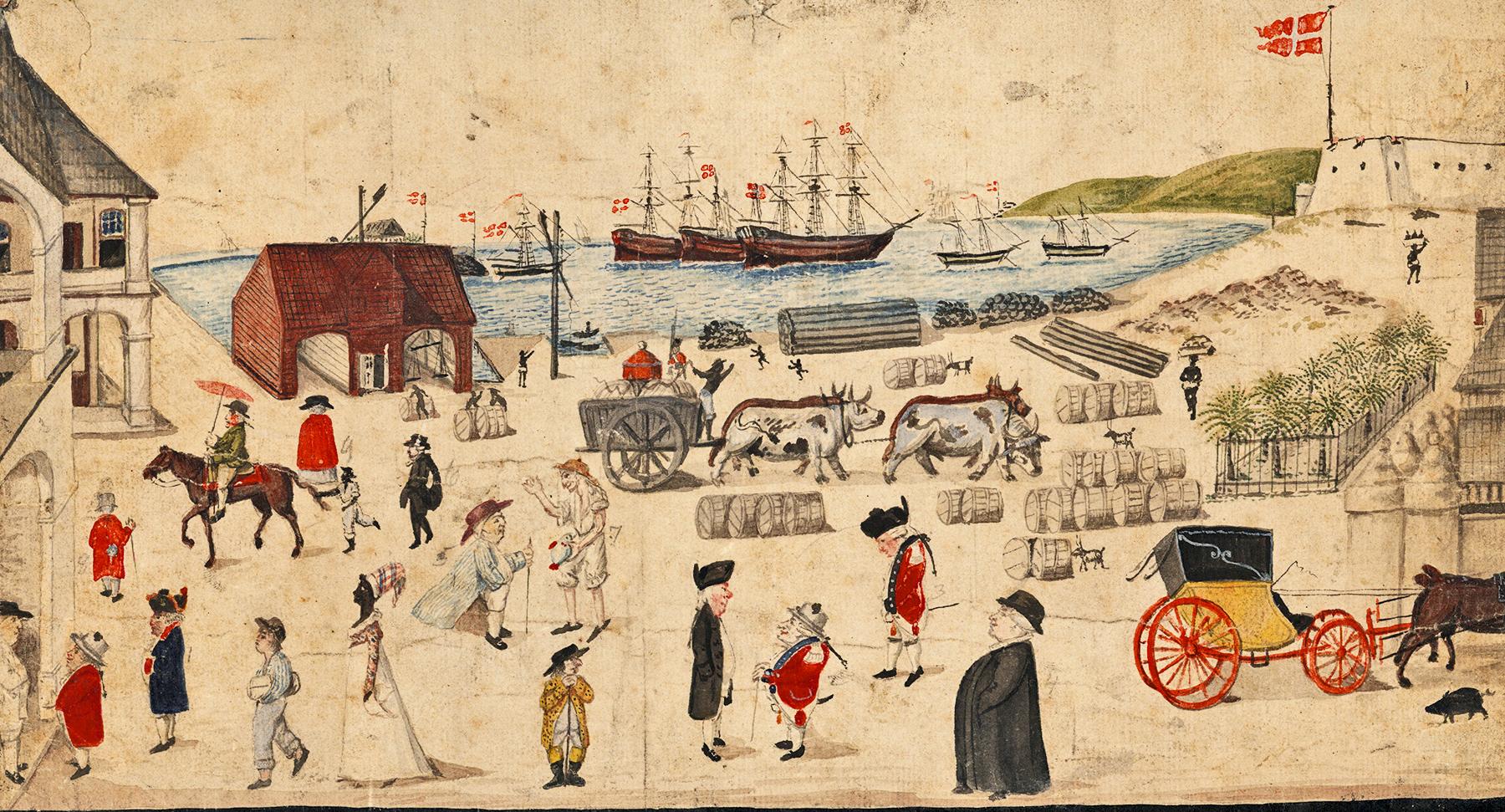
Christiansted National Historic Site was established in 1952 as the first unit of the National Park Service in the Virgin Islands of the United States. Covering over seven acres the park tells the stories about Danish economy and ways of life, and the interactions of people in Europe, Africa, West Indies, and North America during the Danish era of occupation of the Virgin Islands (1734-1917).
Plan a Visit
Core visitor information on this page is sourced from the National Park Service. NPD proximity sections use NPS reference coordinates and straight-line distance. Local source bundle updated Sep 27, 2026. View the official NPS page.
Weather & Conditions
Welcome to the tropics! Temperatures do not vary much by season. Highs are usually in the upper 80s and lows are typically in the mid-70s. Pop-up showers and storms are common and usually pass quickly. Atlantic hurricane season runs June 1 - November 30, however tropical systems can occur at…
NPS Reference Location
Park state / territory membership: U.S. Virgin Islands. This map uses the National Park Service reference coordinate. It may represent an administrative or reference point rather than a park entrance, trailhead, visitor center, or the nearest access point. Use the official NPS directions below when planning travel.
Entrance Fees
Adults 16 and older. Children under the age of 16 are admitted free with an adult.
Operating Hours
The Park is open every day from 8:30 am to 4:30 pm. The park is closed on Thanksgiving Day and Christmas Day. All cars must be removed from the parking lot by 4:30 p.m. or they will be towed.
Activities
Current Alerts
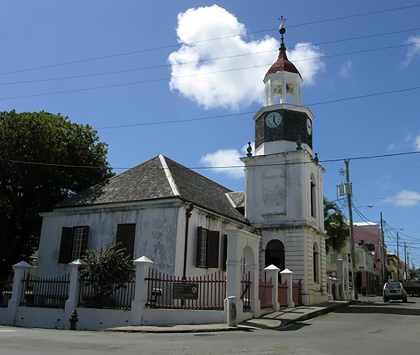
The Steeple Building remains closed until further notice.
Getting There
To Christiansted National Historic Site from Henry E. Rohlsen Airport: Drive east on Route 64 to Melvin Edwards Highway (Route 66). Turn right and continue for 4.8 miles (7.2 kilometers). Continue straight onto Old Centerline Road (Queen Mary Highway), and continue straight onto the Christiansted Bypass 3.7 miles (5.9 km). Turn left onto Hospital Street. The parking lot for Christiansted National Historic Site will be on your right.
View Official DirectionsContact & Address
The NPS-listed address may be an administrative office, visitor center, mailing/contact location, or other park facility rather than a park entrance.
Topics & Themes
Visitor Centers
Christiansted National Historic Site Visitor Center
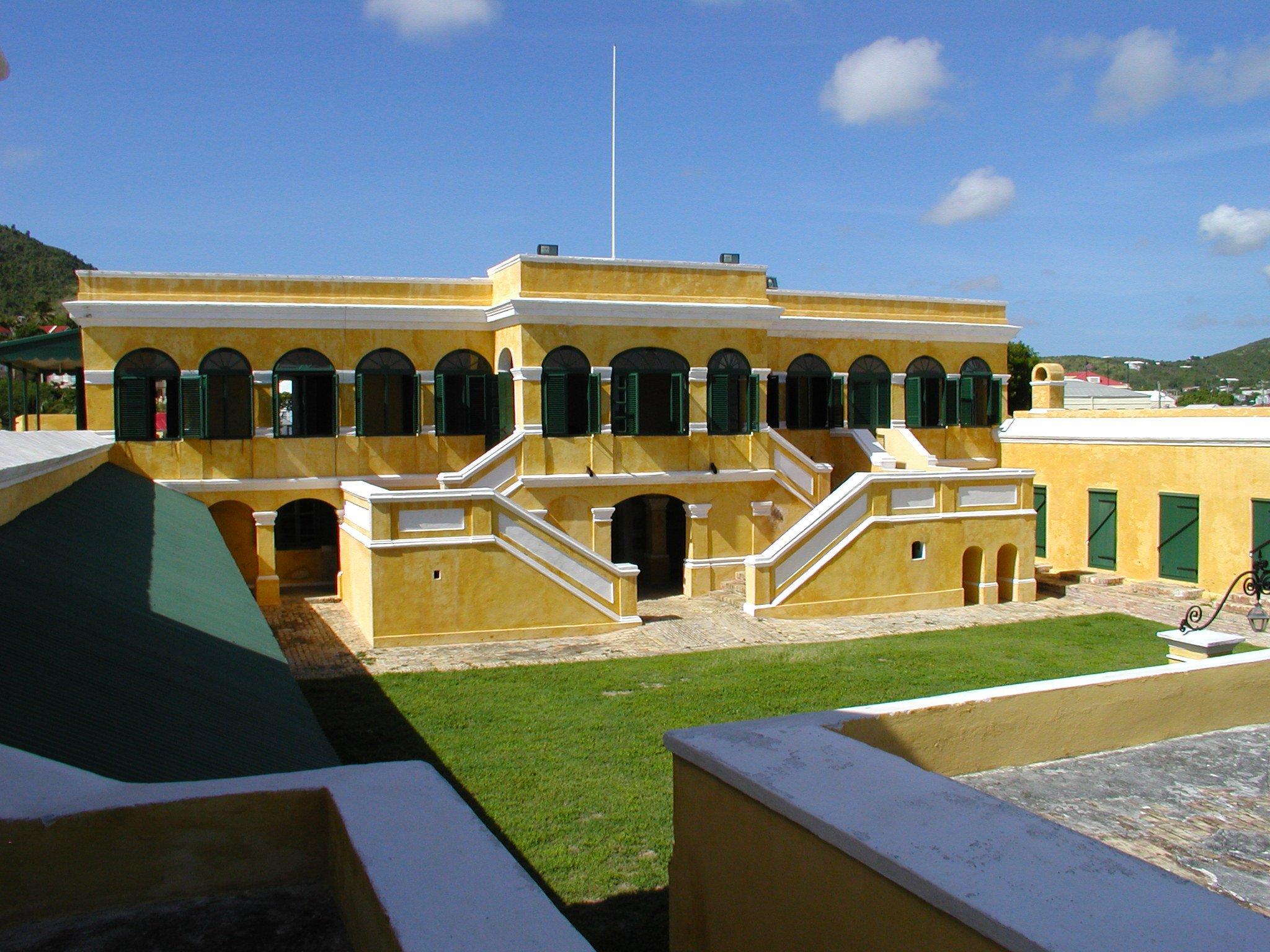
Fort Christiansvaern at Christiansted National Historic Site serves as the point of information for all three national park units on St. Croix, including Buck Island…
Christiansted National Historic Site Bookstore and Welcome Center
The bookstore is located at the historic Scale House, at the water's edge.
Nearby National Park Service Sites
These sites are ordered by straight-line distance between NPS reference coordinates. This is useful for comparison, but it is not road mileage. Trails, parkways, rivers, and distributed units may extend far from their reference point.
Nearby Cities for Trip Planning
These cities are ordered by straight-line distance from the NPS reference coordinate. They are comparison starting points, not official park gateways or road-distance estimates. Trails and other distributed units may extend far beyond this reference point.
🗺️ Guided Tours & Experiences
Discover Christiansted National Historic Site with expert-led tours
We earn a commission if you make a purchase, at no additional cost to you.
🏨 Search Lodging for Christiansted National Historic Site
Review lodging results matching this park or site name
We earn a commission if you make a purchase, at no additional cost to you.