
About Ozark National Scenic Riverways
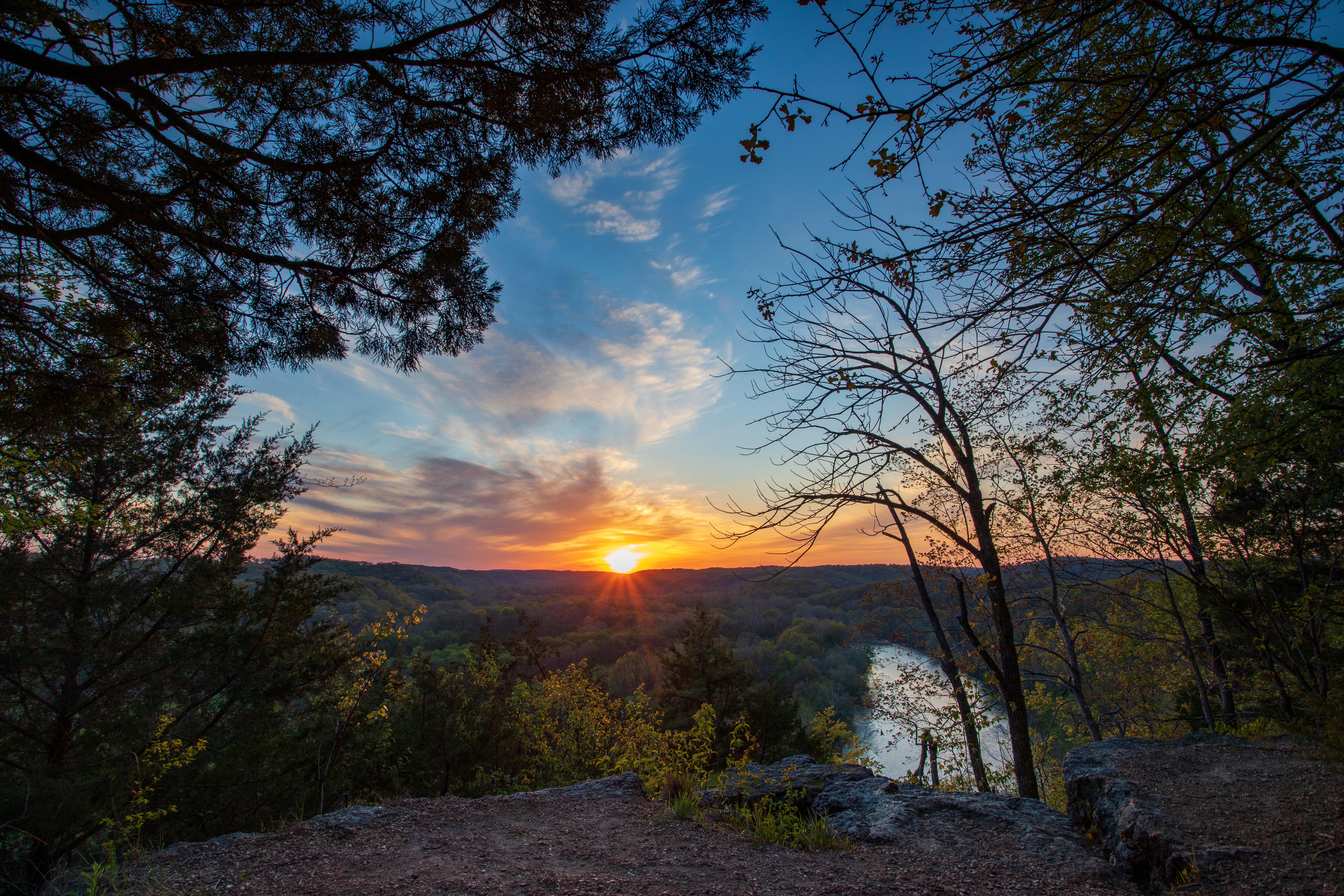
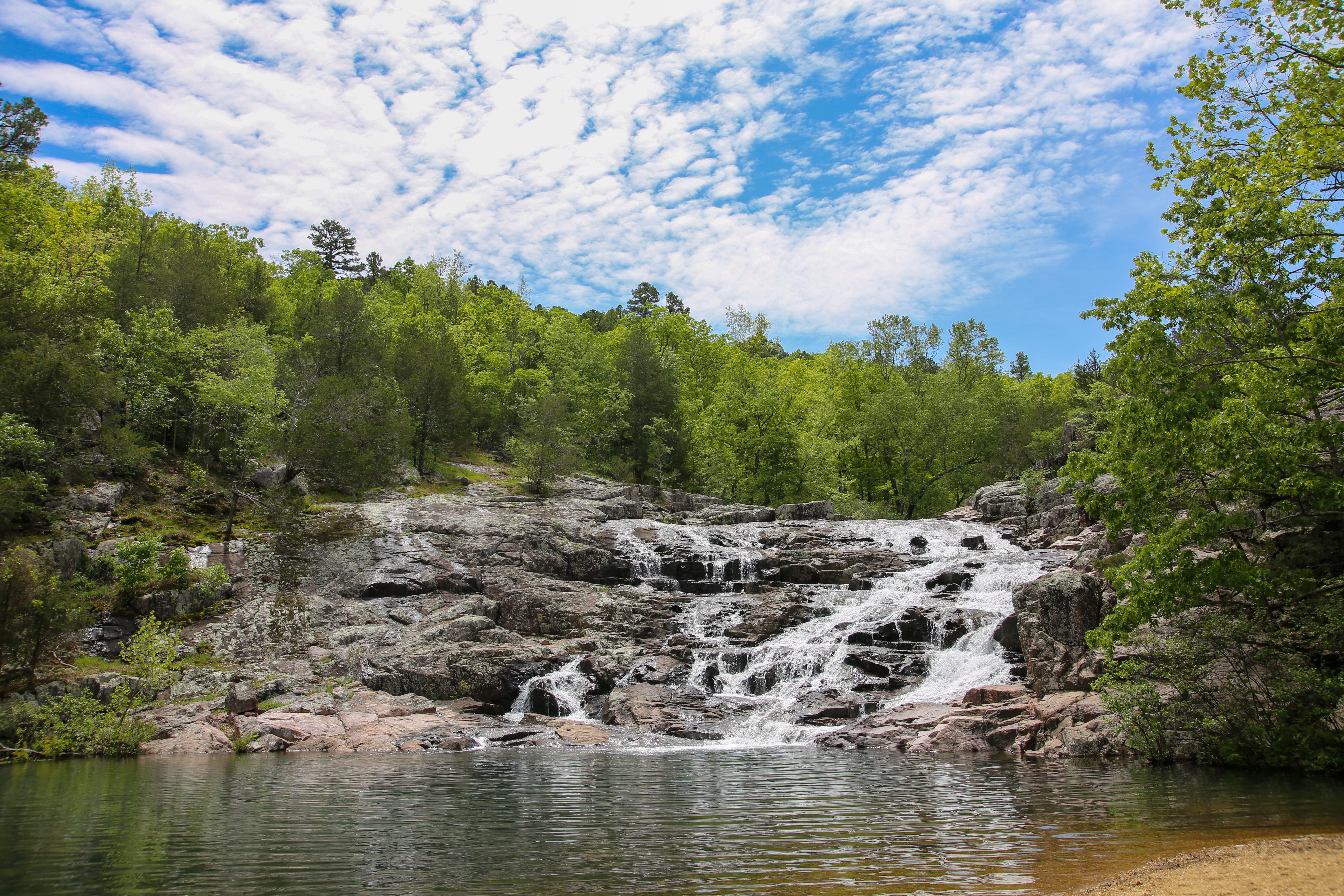
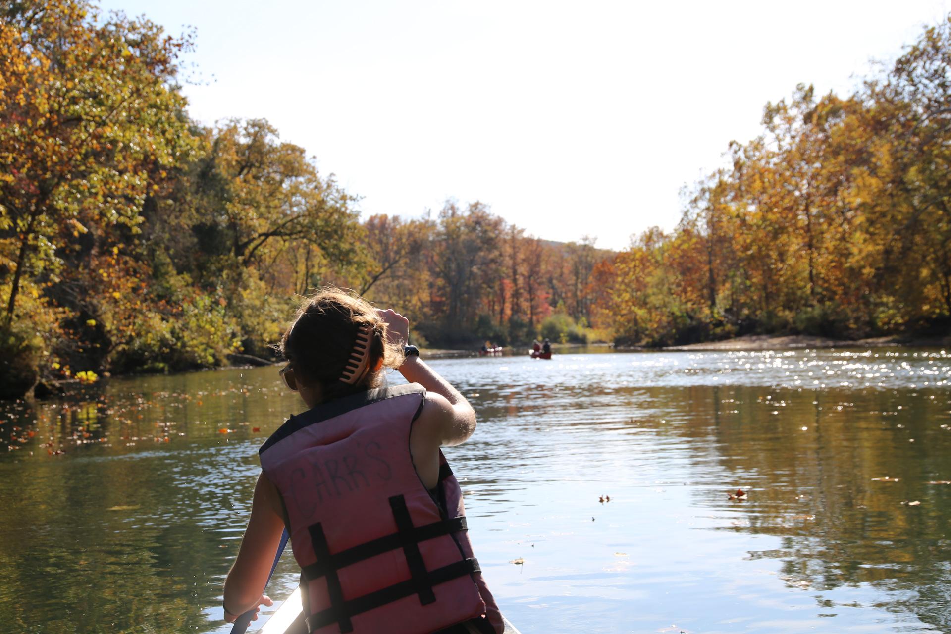
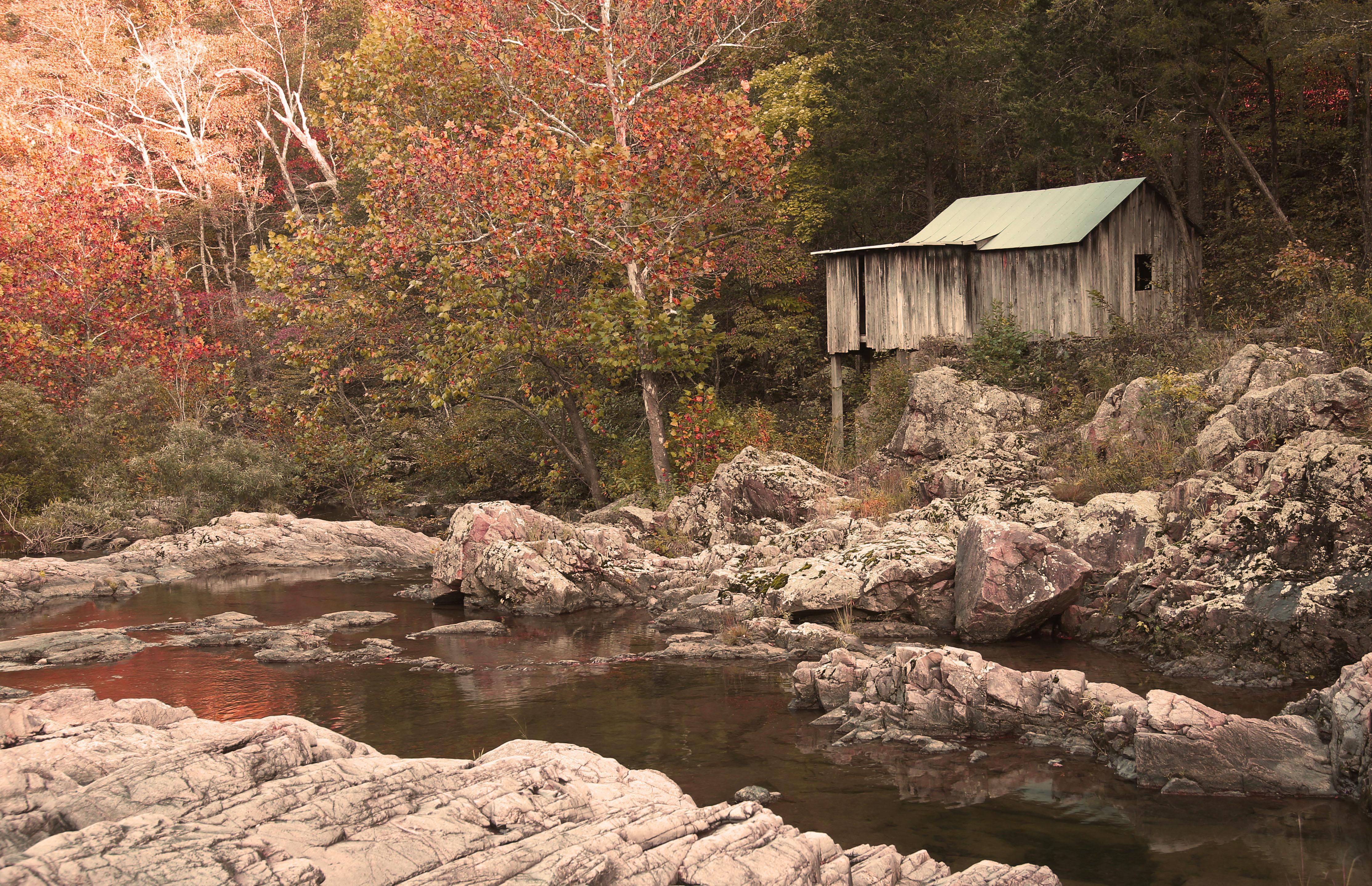
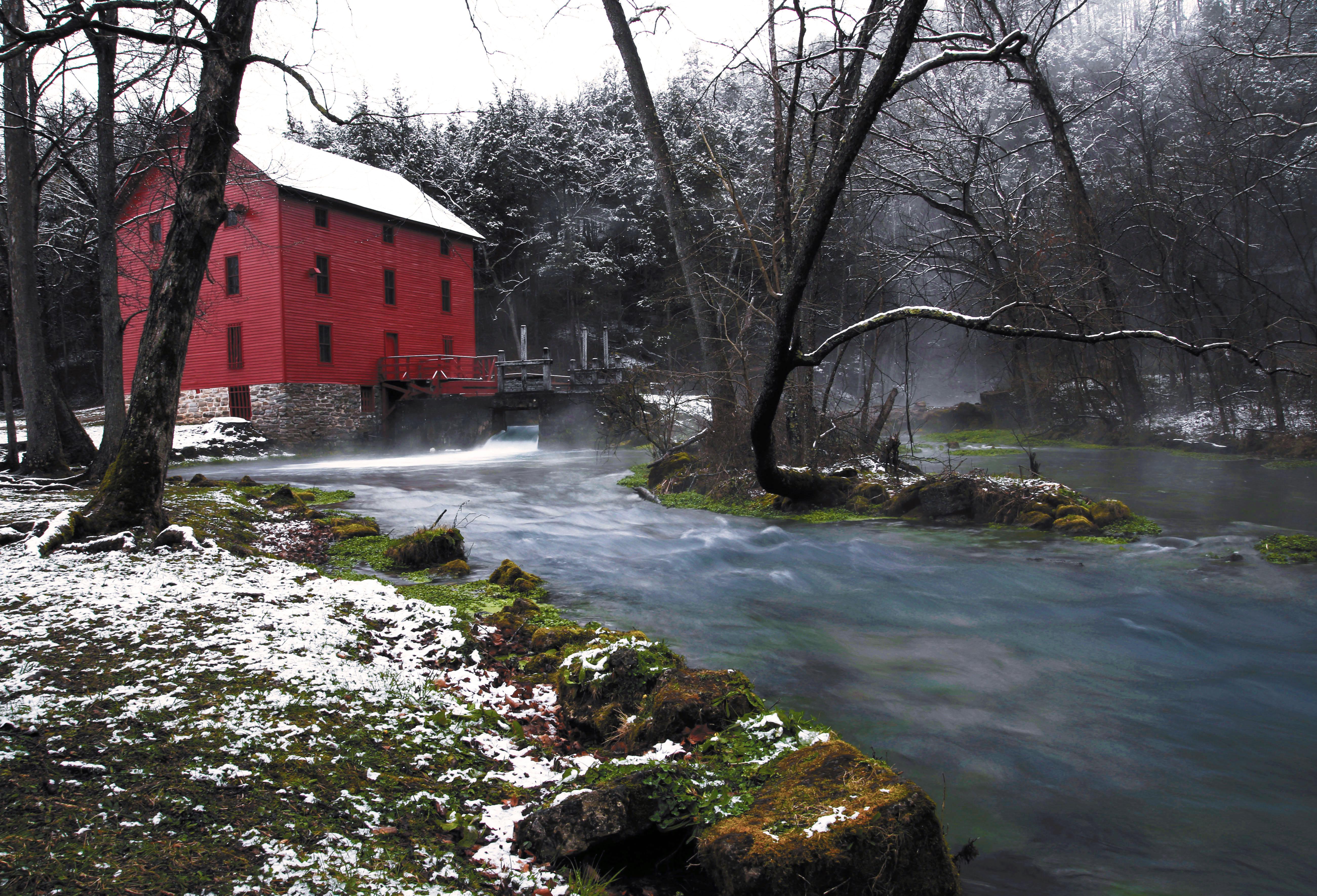
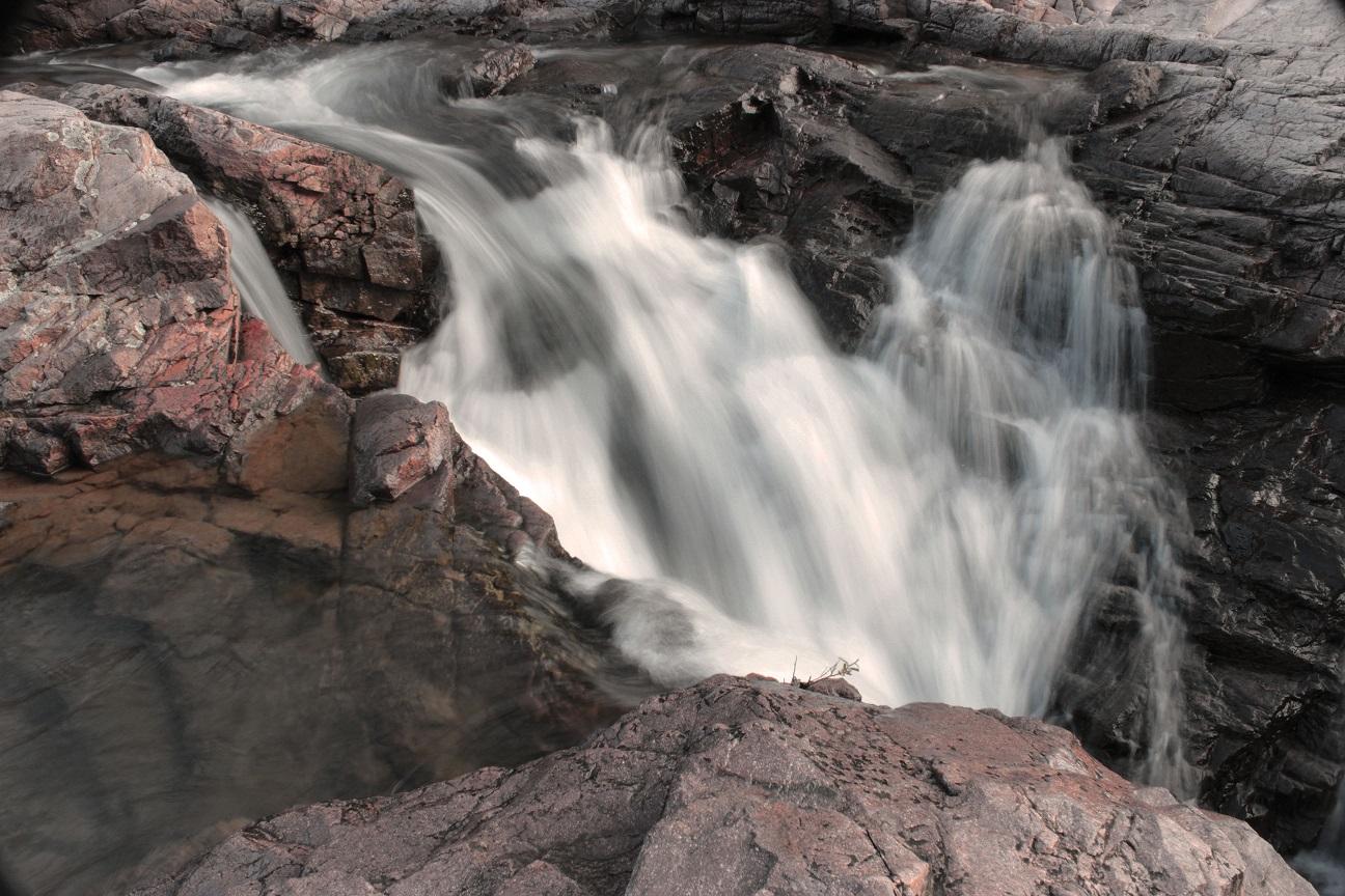
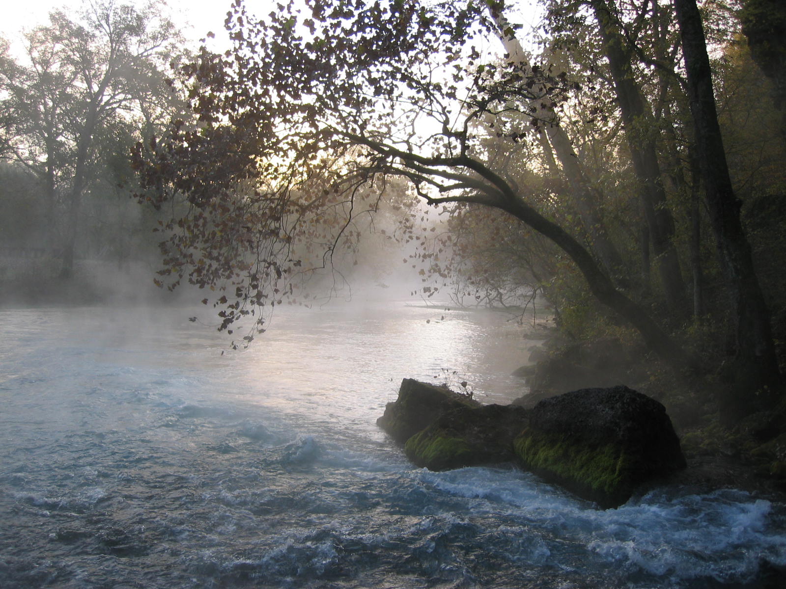
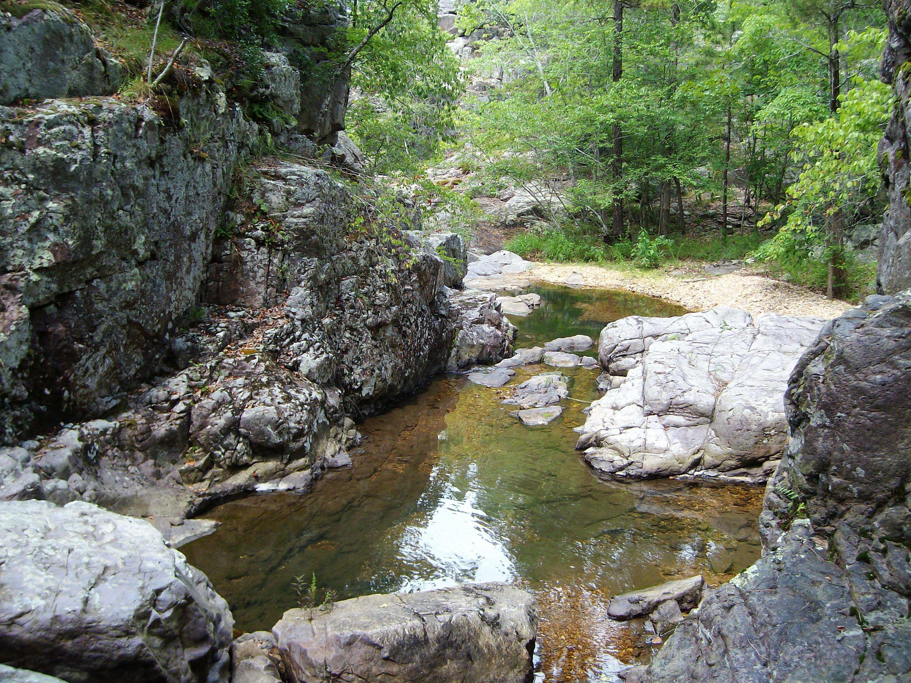
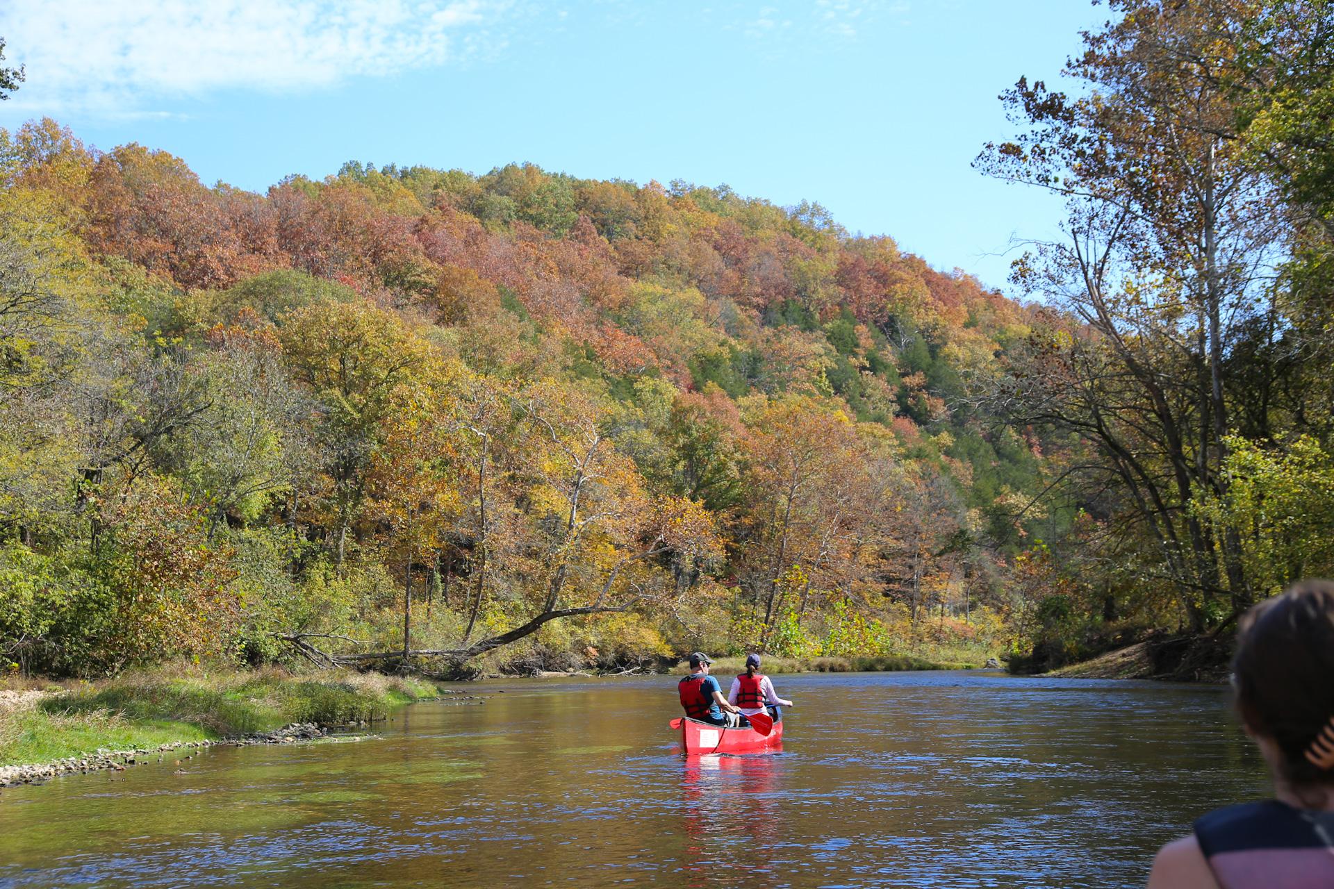
Ozark National Scenic Riverways is the first national park area to protect a river system. The Current and Jacks Fork rivers are two of the finest floating rivers found anywhere. Spring-fed, cold and clear: they are a delight to canoe, swim, boat, or fish. Besides these two famous rivers, the park is home to hundreds of freshwater springs, caves, trails, and historic sites such as Alley Mill.
Plan a Visit
Core visitor information on this page is sourced from the National Park Service. NPD proximity sections use NPS reference coordinates and straight-line distance. Local source bundle updated Sep 27, 2026. View the official NPS page.
Weather & Conditions
Ozark National Scenic Riverways is located in southeastern Missouri. Summer temperatures generally range from 75-100 degrees (°F) with high humidity. Winter temperatures generally range from 0-50 (°F) degrees with periods of intermittent freezing and snow. Periods of excessive heat are typical in summer, while heavy rains or flooding can occur…
NPS Reference Location
Park state / territory membership: Missouri. This map uses the National Park Service reference coordinate. It may represent an administrative or reference point rather than a park entrance, trailhead, visitor center, or the nearest access point. Use the official NPS directions below when planning travel.
Operating Hours
Generally, the park grounds are open 24-hours a day throughout the year. Some visitor centers will have different hours depending on season and staff availability. Likewise, certain roads, trails, or river access points may be seasonally closed.
Activities
Current Alerts
The parking lot for the Round Spring Pavilion and for Round Spring itself is CLOSED for the remainder of 2026 while the low water bridge over Spring Valley Creek is rebuilt. Alternative parking near Round Spring Group Campsites 4-8 will provide trail access to the north side of Round Spring.
Paving work is being done throughout Ozark National Scenic Riverways during the 2026 summer season, including at Alley Spring, Round Spring, Pulltite, and Big Spring. Watch here and on our park Facebook page for updates, as roads and campground loops may close and reopen depending on work progress.
The lower river landing at Round Spring, located in the campground, is closed until further notice for paving. Floaters putting in or taking out at Round Spring should plan to use the upper landing behind Carr's Store.
As of January 1, 2025, ALL developed campsites will be available through reservation ONLY. These include Pulltite, Round Spring, Alley Spring, Big Spring, Two Rivers, and Akers. Reservations must be made through recreation.gov (online or by calling).
The Akers Ferry on State Highway K will not be in service until further notice.
Getting There
Visitor centers can be found at the following locations: Big Spring Entrance Station - 3 miles south of Van Buren on Highway 103 Alley Mill & Store - 12185 Alley Hollow Road Round Spring Ranger Station - 13209 Round Spring Campground Rd Administrative offices for Ozark National Scenic Riverways are located at 404 Watercress Drive, Van Buren, MO 63965. This location does not offer a visitor center - tourists should instead go to the Big Spring Entrance Station.
View Official DirectionsContact & Address
The NPS-listed address may be an administrative office, visitor center, mailing/contact location, or other park facility rather than a park entrance.
Topics & Themes
Things To Do
About Current River Challenge
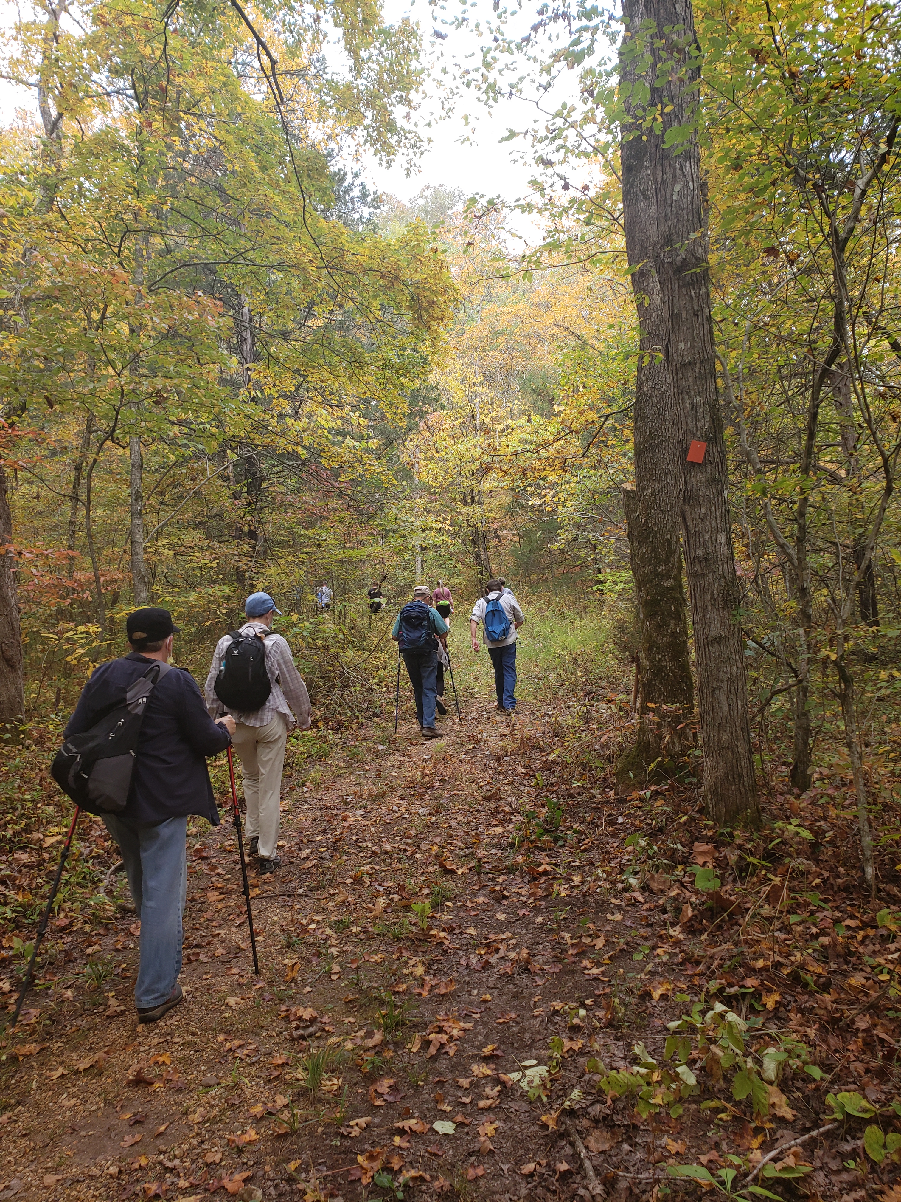
Current River Challenge
Round Spring Guided Cave Tour
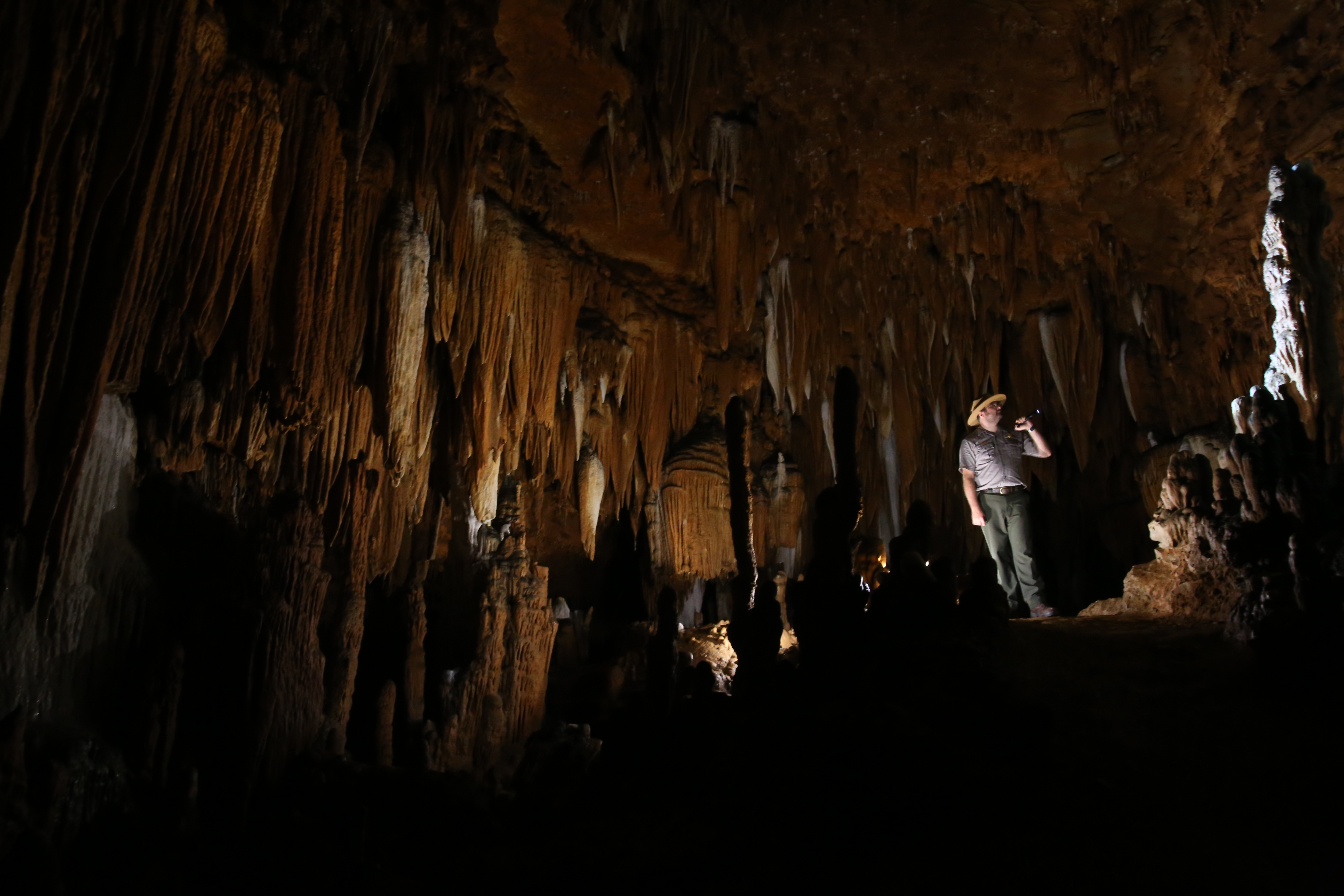
Discover the amazing world beneath your feet! Round Spring Cave is considered the most spectacular cave within Ozark National Scenic…
Fly Fishing Clinics
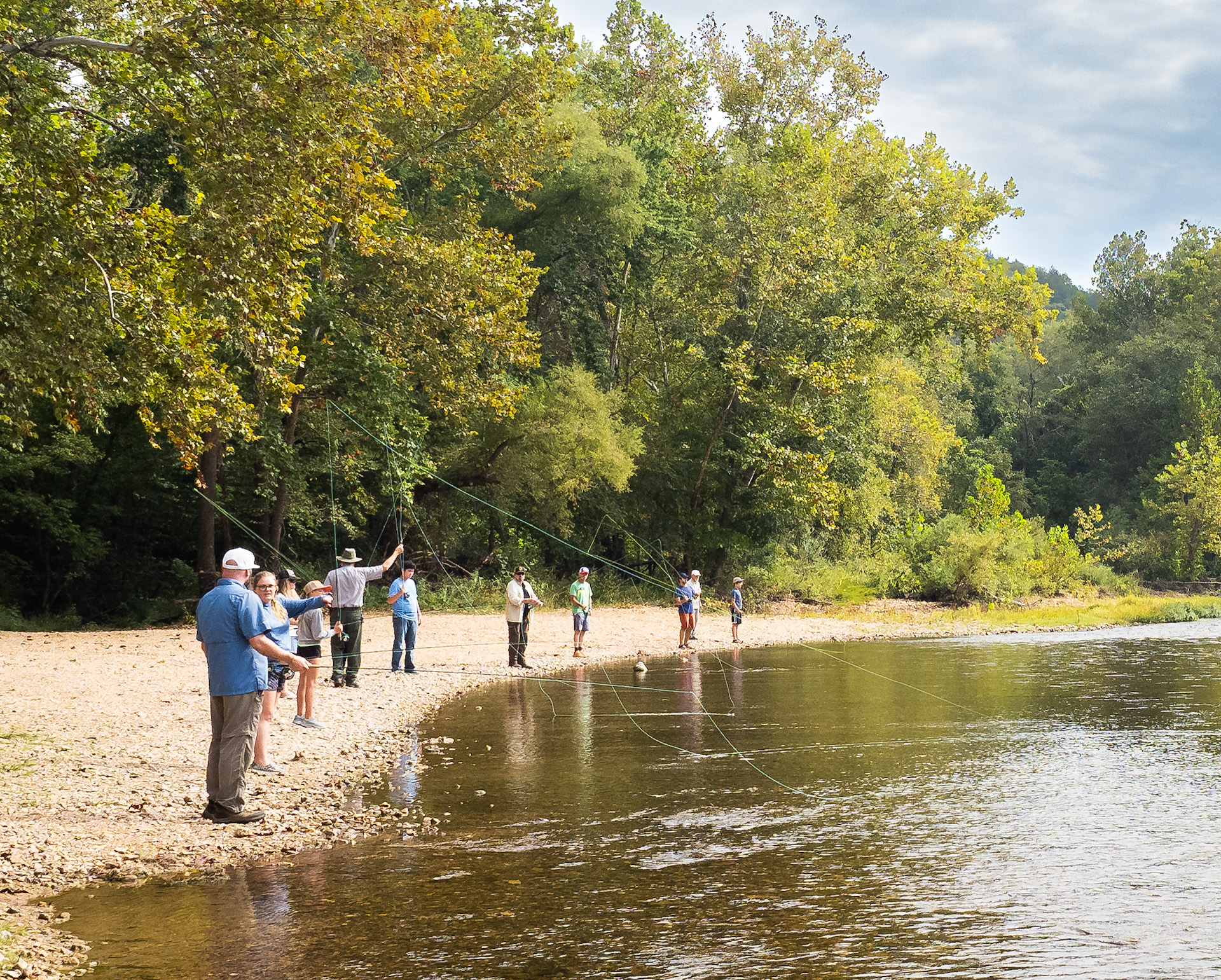
Join a local fly-fishing legend and learn the art of this gentle sport in a free workshop! Clinics are currently…
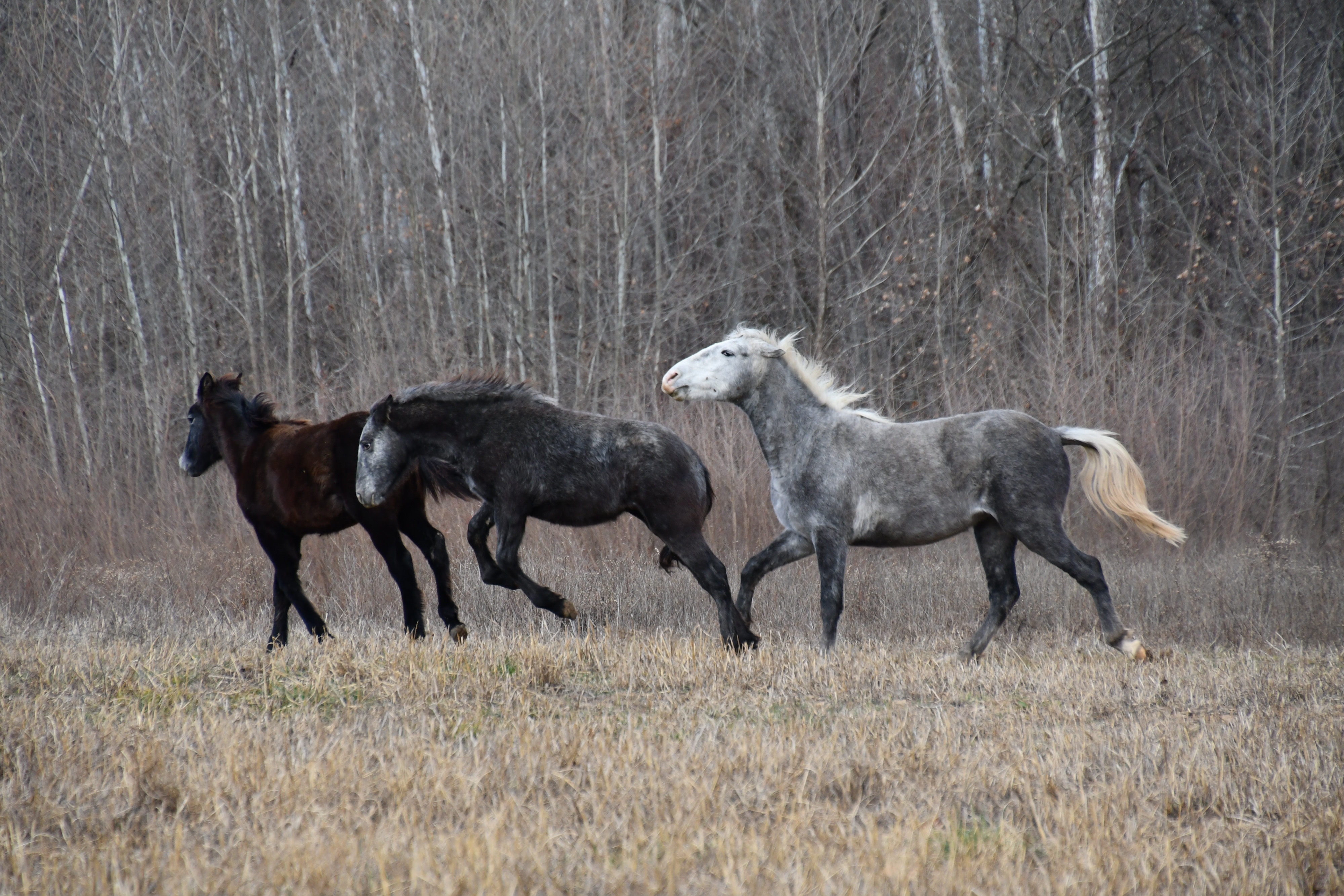
See the Wild Horses
Learn about how to safely view wild horses within Ozark National Scenic Riverways! This page contains information on viewing locations…
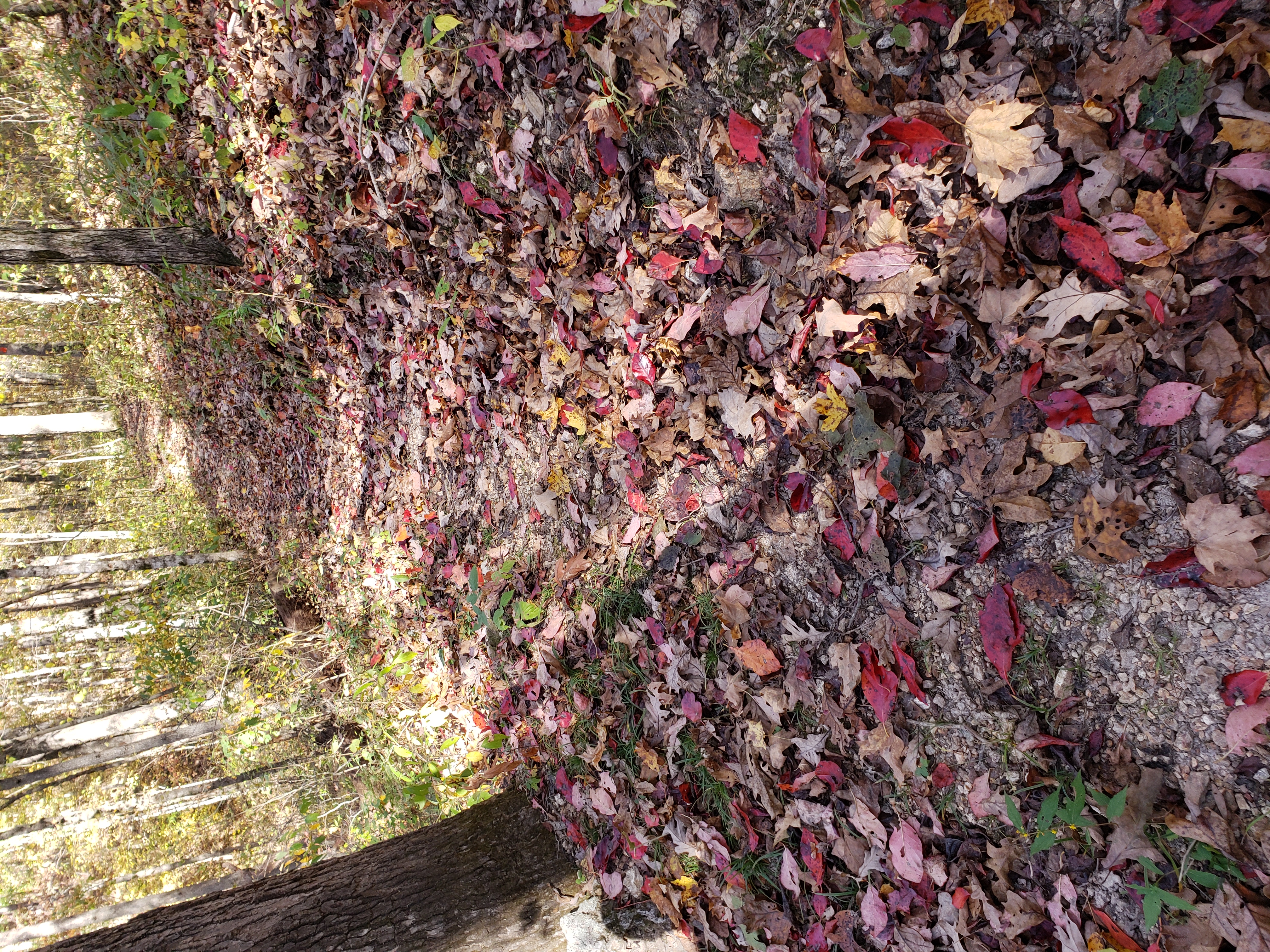
Round Spring Loop Trail
Round Spring Loop Trail.
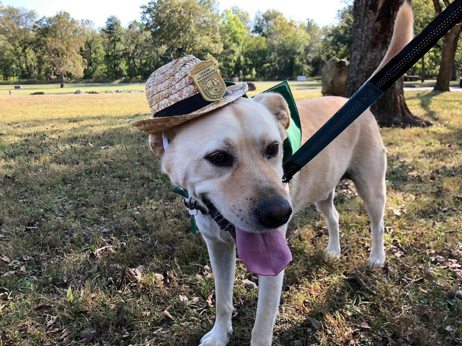
Paws in the Park
Follow along as your dog takes the lead through the trails to new spaces.
More Things to Do
Additional activities and experiences from the National Park Service.
Refresh at Big Spring
Rejuvenate your mind and spirit at Big Spring while embracing the soothing water sounds.
A Detective in Nature
Unearth the secrets of nature with your own journey through Ozark National Scenic Riverways.
Picture This
Experience the wonder of nature’s scale from the smallest details to the openness of the sky and waters.
Discover Geologic Wonders
There is so much to discover within the park’s 134-miles of river and 80,000 acres of land.
Ask a Ranger
Expand your knowledge with a journey through the park.
A Paddler’s Paradise
Paddle or float on crystal clear waters within the river routes of the Ozark region.
Reach New Elevations
Reach new elevations in the Ozark Mountains and enjoy the view.
Serenity at Alley Spring
Be present and practice deep breathing while observing the scenery at Alley Spring.
Paddle the Lower Current River
Paddle the Lower Current River
Paddle the Upper Current River
Paddling Upper Current
Hike the Ozark Trail
Ozark Trail
Historic Alley Mill Talk
Tour the iconic and historic Alley Roller Mill at Alley Spring. Alley Mill is rumored to be the most photographed mill in…
Showing 18 of 34 NPS Things to Do records available for Ozark National Scenic Riverways.
Visitor Centers
Big Spring Entrance Station
Built in 1936 by the Civilian Conservation Corps (CCC), this station serves as a welcome center for Big Spring. Park literature, passport stamps, and information…
Alley Mill
Alley Mill is located at Alley Spring. Rangers lead guided tours of the mill or answer questions at the front desk. The facility offers an…
Alley General Store
Alley General Store is part of the Alley historic community and features Ozark cultural exhibits, cooperating association merchandise sales, and an informational contact station. A…
Round Spring Ranger Station
Round Spring Ranger Station, located along the Current River, serves the upper third of Ozark National Scenic Riverways. This station offers park literature, trip planning…
Pulltite Ranger Station
Pulltite Ranger Station is located next to Pulltite Campground on State Route K. Restrooms and showers are available at this location year-round. Visitor Contact Station…
Campgrounds
Alley Spring Campground
Located on the banks of the Jacks Fork, Alley Spring is our park's largest campground. These sites are often packed in summer, and for good…
Big Spring Campground
Big Spring Campground is located just south of Van Buren, Missouri. The campground offers a variety of sunny or shaded sites, all within walking distance…
Round Spring Campground
Round Spring Campground hosts sites in and along the forest, offering a more quiet, intimate experience with nature. This location has easy access to Round…
Pulltite Campground
Pulltite Campground is a developed campground. Campsites are nestled in the woods along the Current River, offering a classic campground feel with easy river access.
Two Rivers Campground
Two Rivers Campground is located at the confluence of the Jacks Fork and Current Rivers, at the end of V Highway off State Highway 106…
Akers Group Campground
Group campsites, located at Akers Ferry. The campground is located north of the junction of Highway KK and Highway K.
Big Tree Campground
Big Tree is home to 7 campsites: 6 standard and 1 cluster. These sites are all located right along the river, making for a beautiful…
Gooseneck Campground
Nestled on the park's southern boundary, Gooseneck Campground offers well-maintained sites right along the lower Current River. A small inlet provides a great space to…
Clubhouse Campground
Clubhouse Campground is nestled on the banks of the lower Current River. This remote campground is far off the beaten path, allowing for a rustic…
Cedar Spring Campground
Tucked away on the lower Current River, Cedar Spring is one of the smallest campgrounds in the park. With only two sites, this location has…
Grubb Hollow Campground
Grubb Hollow Campground is located on the lower Current River, just across the water from Kelley Bluff. This campground offers a handful of sites right…
Powder Mill Campground
Powder Mill is a simple, sunny campground with activities for any time of year. The Current River, the Ozark Trail, and Highway 106 make exploration…
Log Yard Campground
Log Yard Campground offers well-maintained campsites in the backcountry of Ozark National Scenic Riverways. On the nearby banks of the Current River, large gravel bars…
Blue Spring Campground
Located within a bend of the Jacks Fork River, Blue Spring Campground is a popular destination throughout the year. In summer, visitors can enjoy freshwater…
Bay Creek Campground
Stretched along the edge of the Jacks Fork River, this campground is the largest backcountry campground in the park. In contrast to nearby Alley Spring,…
Bachers Campground
Found just downriver from Blue Spring, this campground is home to deep swimming holes and impressive bluffs. Like other campgrounds on the Jacks Fork, Bachers…
Rymers Campground
As one of the smallest, most remote campgrounds in the park, Rymers is loved for its beautiful surroundings. Rymers also serves as a river access…
Shawnee Creek Campground
Located at the junction of Shawnee Creek and the Jacks Fork River, this campground is a fantastic destination for families. This campground offers a variety…
Sinking Creek Campground
Located conveniently off Highway 19, Sinking Creek Campground is extremely popular in summer. Each season, thousands of visitors enjoy swimming, sunbathing, floating, and more. A…
Cedar Grove Campground
Seated in the northwest corner of the park, Cedar Grove is popular for both recreation and camping. In summer, thousands of people swim or float…
Dee Murray Campground
Found just across the river from Cedar Grove, Dee Murray is another popular location for both camping and recreation. In summer months, the nearby river…
Jerktail Campground
On summer days, Jerktail is a bustling location for floating, swimming, and recreation. The Current River, huge gravel bars, deep swimming holes, and impressive bluffs…
Broadfoot Campground
Broadfoot Campground is nestled between the Current River and a huge field. This location offers a mix of sunny and shady sites, all found right…
Nearby National Park Service Sites
These sites are ordered by straight-line distance between NPS reference coordinates. This is useful for comparison, but it is not road mileage. Trails, parkways, rivers, and distributed units may extend far from their reference point.
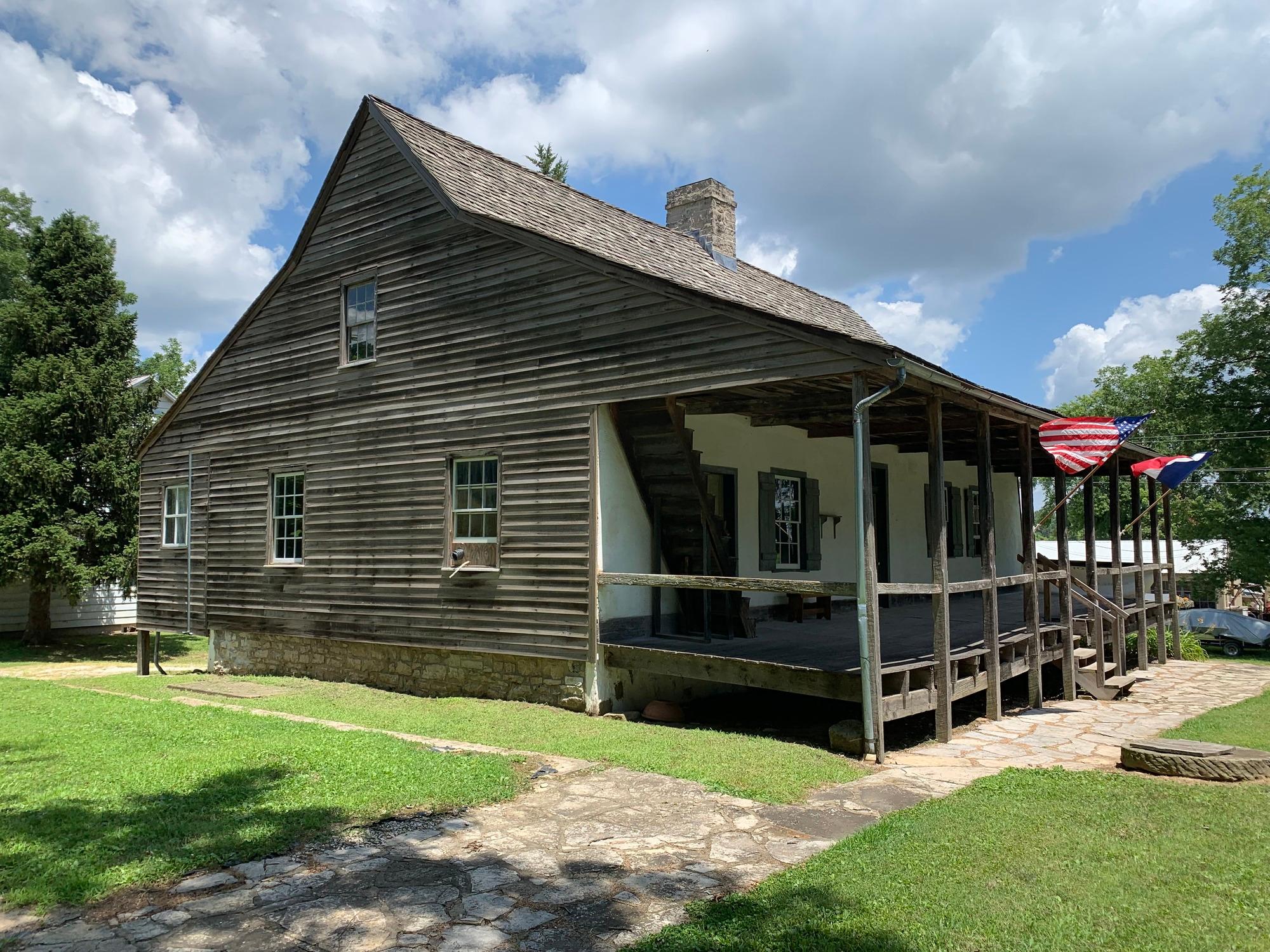
Nearby Cities for Trip Planning
These cities are ordered by straight-line distance from the NPS reference coordinate. They are comparison starting points, not official park gateways or road-distance estimates. Trails and other distributed units may extend far beyond this reference point.
🗺️ Guided Tours & Experiences
Discover Ozark National Scenic Riverways with expert-led tours
We earn a commission if you make a purchase, at no additional cost to you.
🏨 Search Lodging for Ozark National Scenic Riverways
Review lodging results matching this park or site name
We earn a commission if you make a purchase, at no additional cost to you.