
About Monocacy National Battlefield
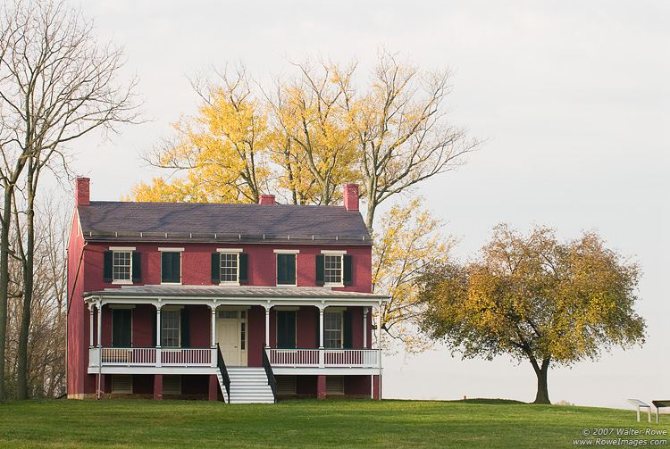
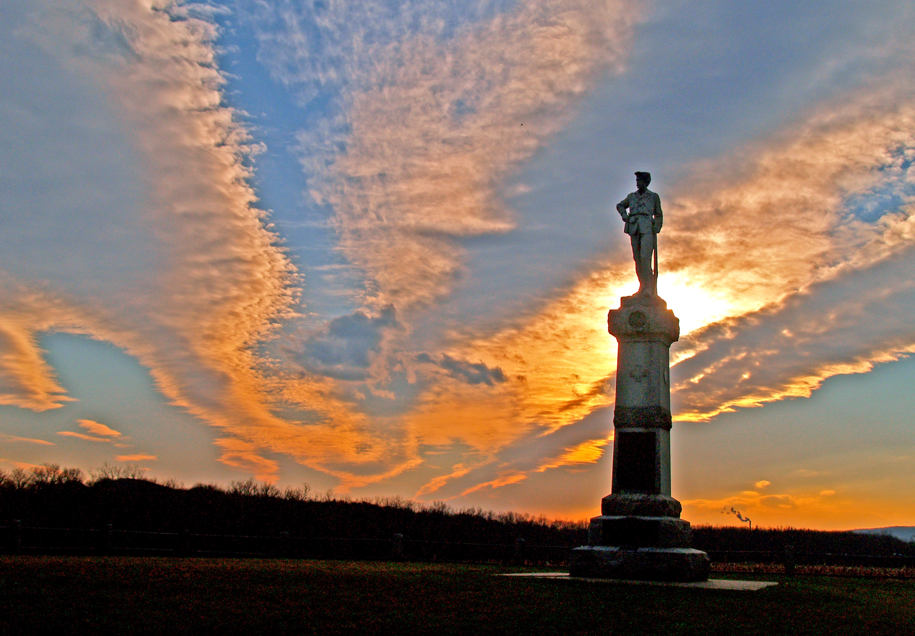
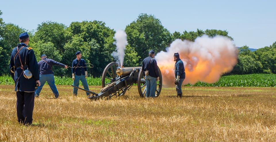
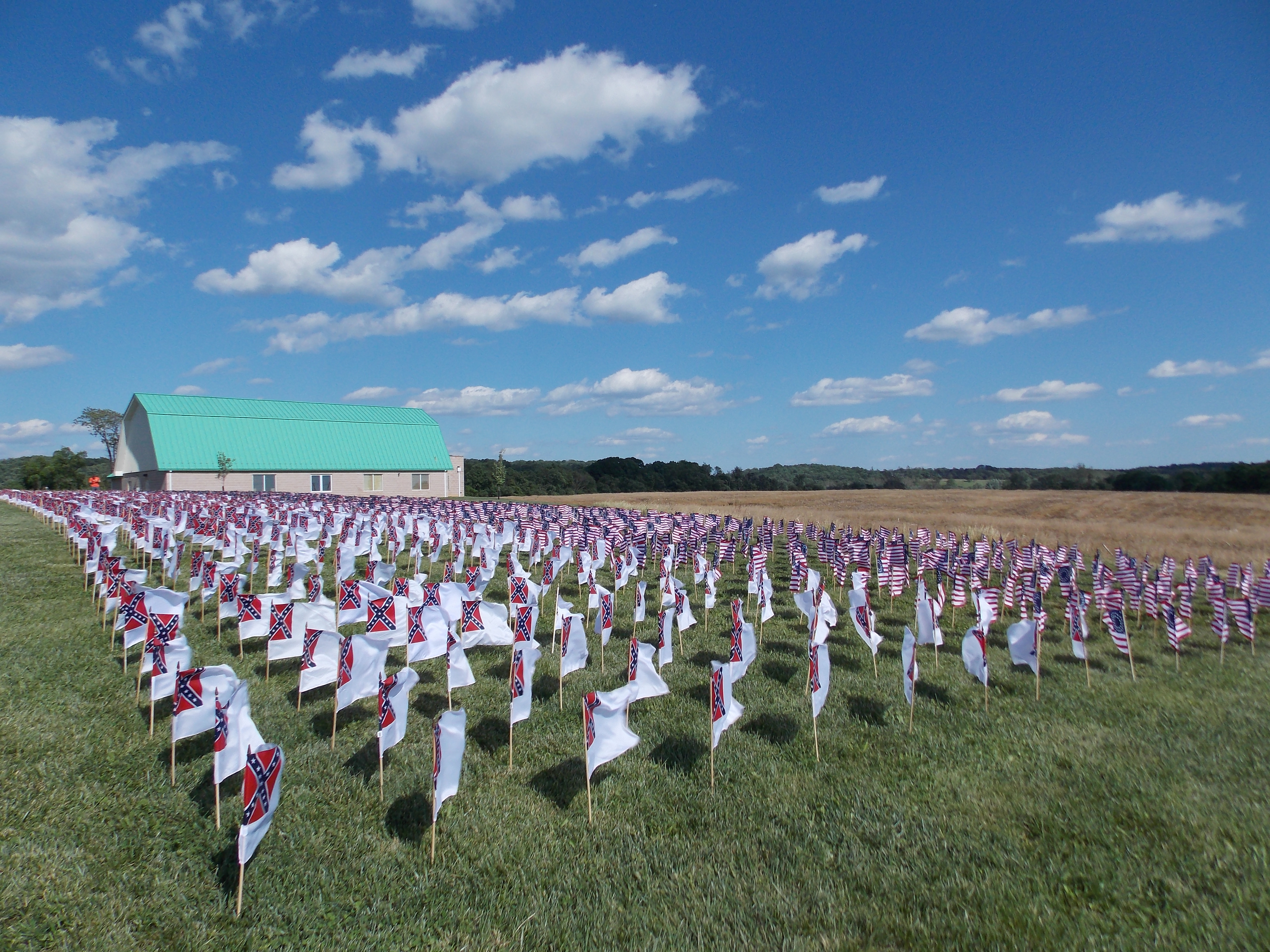
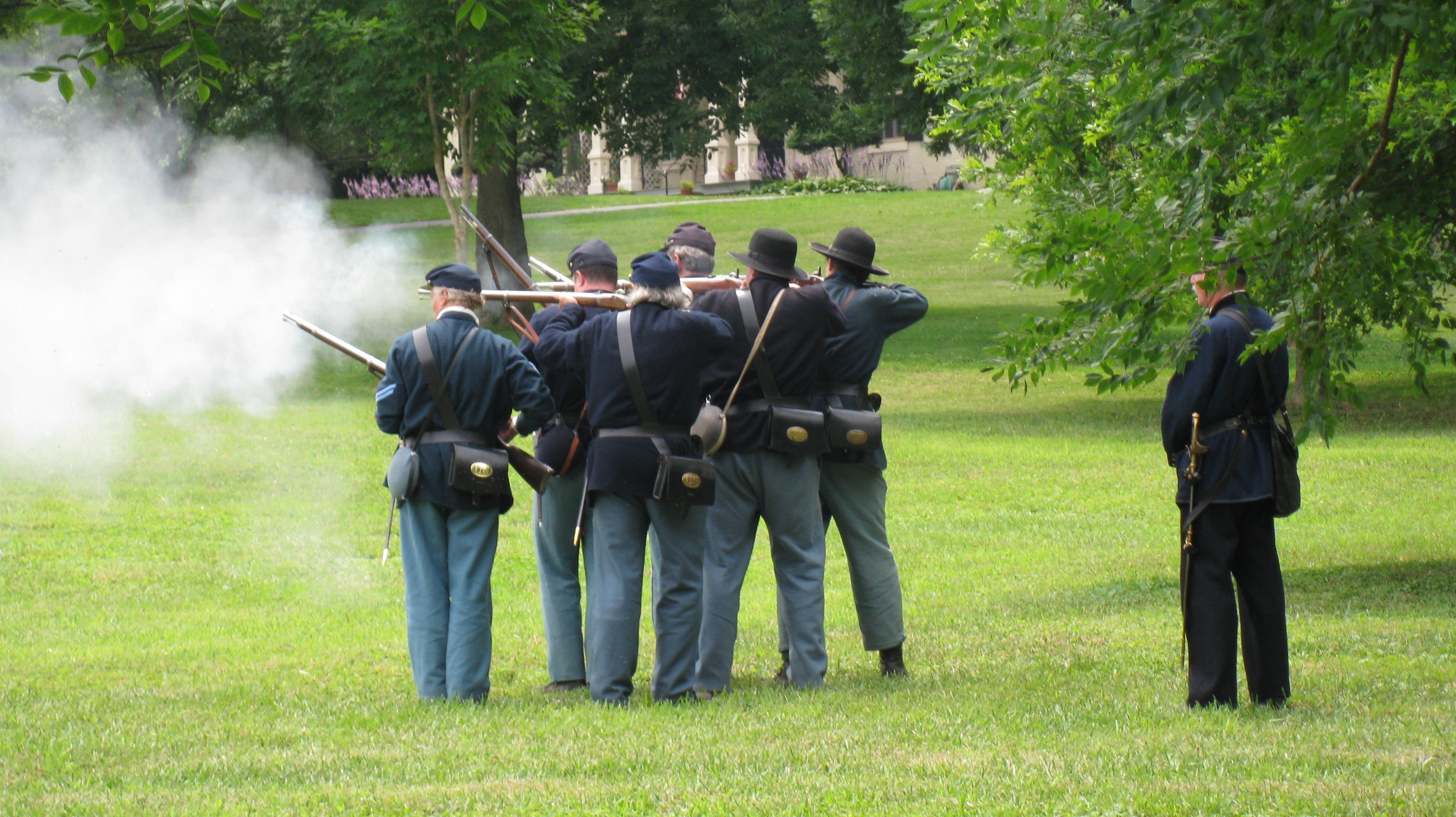
During the summer of 1864, the Confederacy carried out a bold plan to turn the tide of the Civil War in their favor. They planned to capture Washington, DC and influence the election of 1864. On July 9, however, Federal soldiers outnumbered three to one, fought gallantly along the banks of the Monocacy River in an effort to buy time for Union reinforcement to arrive in Washington, DC.
Plan a Visit
Core visitor information on this page is sourced from the National Park Service. NPD proximity sections use NPS reference coordinates and straight-line distance. Local source bundle updated Sep 27, 2026. View the official NPS page.
Weather & Conditions
Spring (March - May) Temperatures: Average high is 67 degrees with a low of 53 degrees Summer (June - August) Temperatures: Average high is 87 degrees with a low of 65 degrees Fall (September - November) Temperatures: Average high is 68 degrees with a low of 48 degrees Winter (December…
NPS Reference Location
Park state / territory membership: Maryland. This map uses the National Park Service reference coordinate. It may represent an administrative or reference point rather than a park entrance, trailhead, visitor center, or the nearest access point. Use the official NPS directions below when planning travel.
Operating Hours
The park grounds are open daily from 7:30 until 20 minutes after sunset.
Activities
Getting There
From the North (U.S. 15) or West (Hagerstown): Use I-70 east and take Exit 54. Bear right then take a left onto Rt. 355. The visitor center will be on the left. From the East (Baltimore): Use I-70 west and take Exit 54. Bear left then take a left onto Rt. 355. The visitor center will be on the left. From the South (Washington): Use I-270 north to I-70 east and take Exit 54. Bear right then take a left onto Rt. 355. The visitor center will be on the the left.
View Official DirectionsContact & Address
The NPS-listed address may be an administrative office, visitor center, mailing/contact location, or other park facility rather than a park entrance.
Topics & Themes
Things To Do
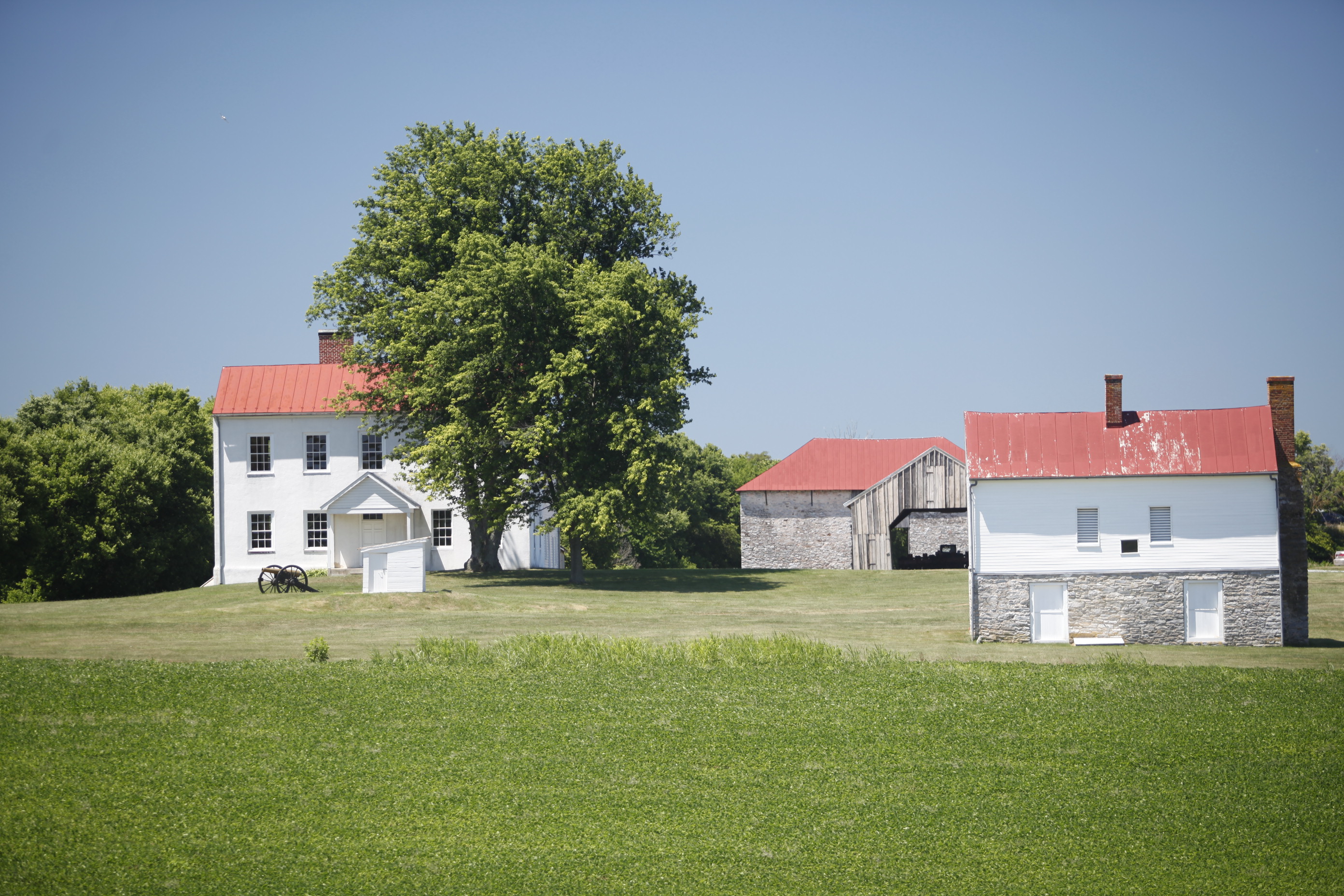
Ignite your Imagination at Monocacy National Battlefield
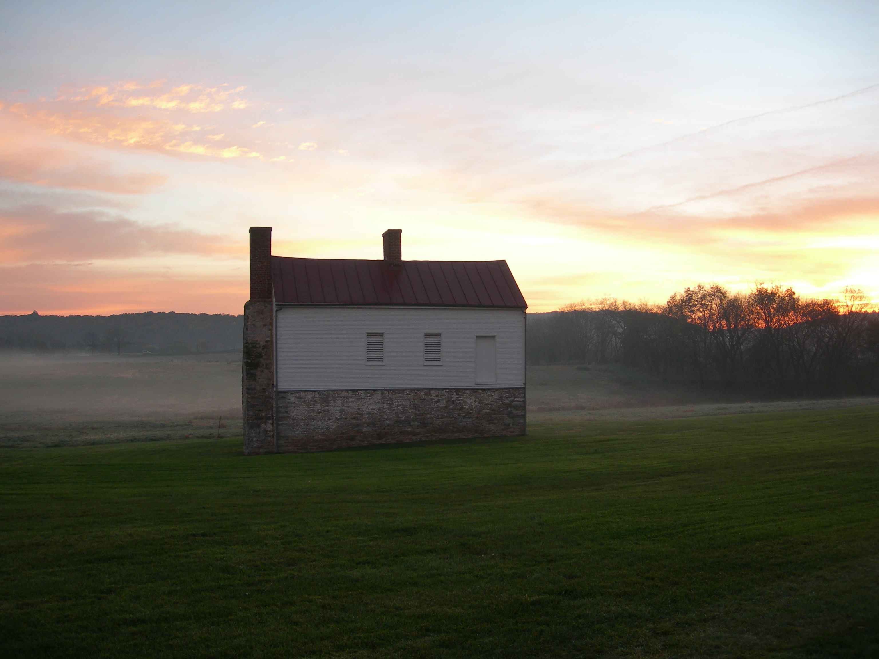
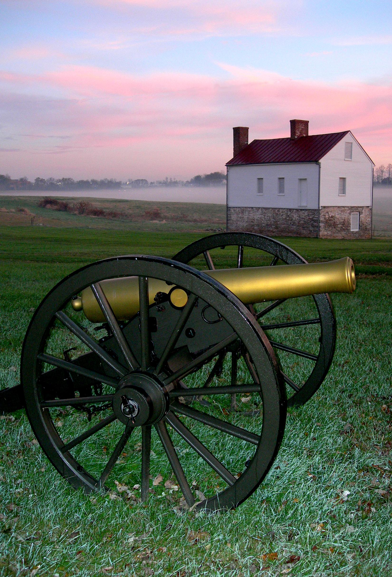
Monocacy National Battlefield encompasses several centuries of history, which reflect events of both national and local significance.
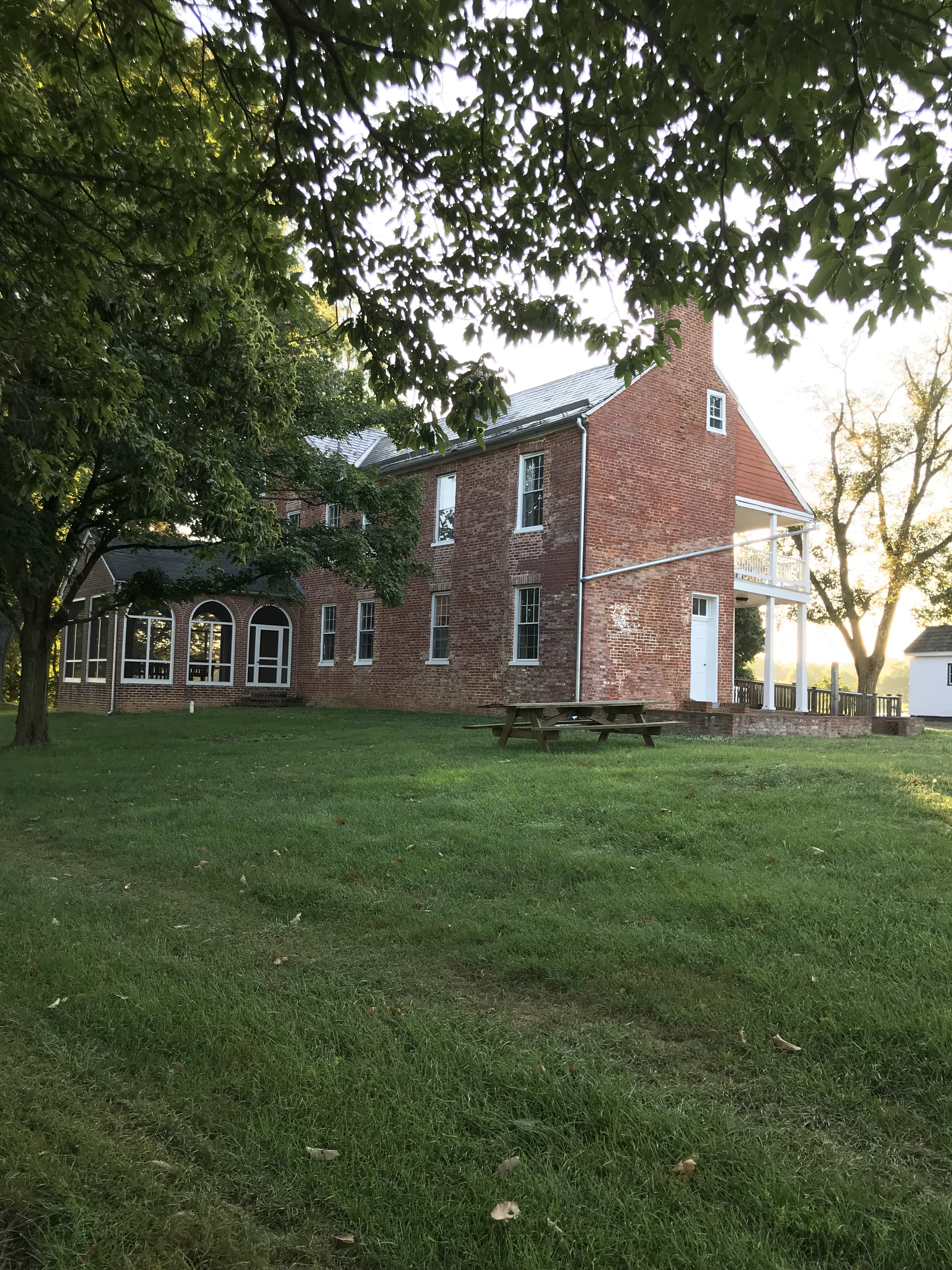
Picnicking At Monocacy
Add a picnic to your exploration of the battlefield. Monocacy National Battlefield has picnic tables at several locations throughout the…
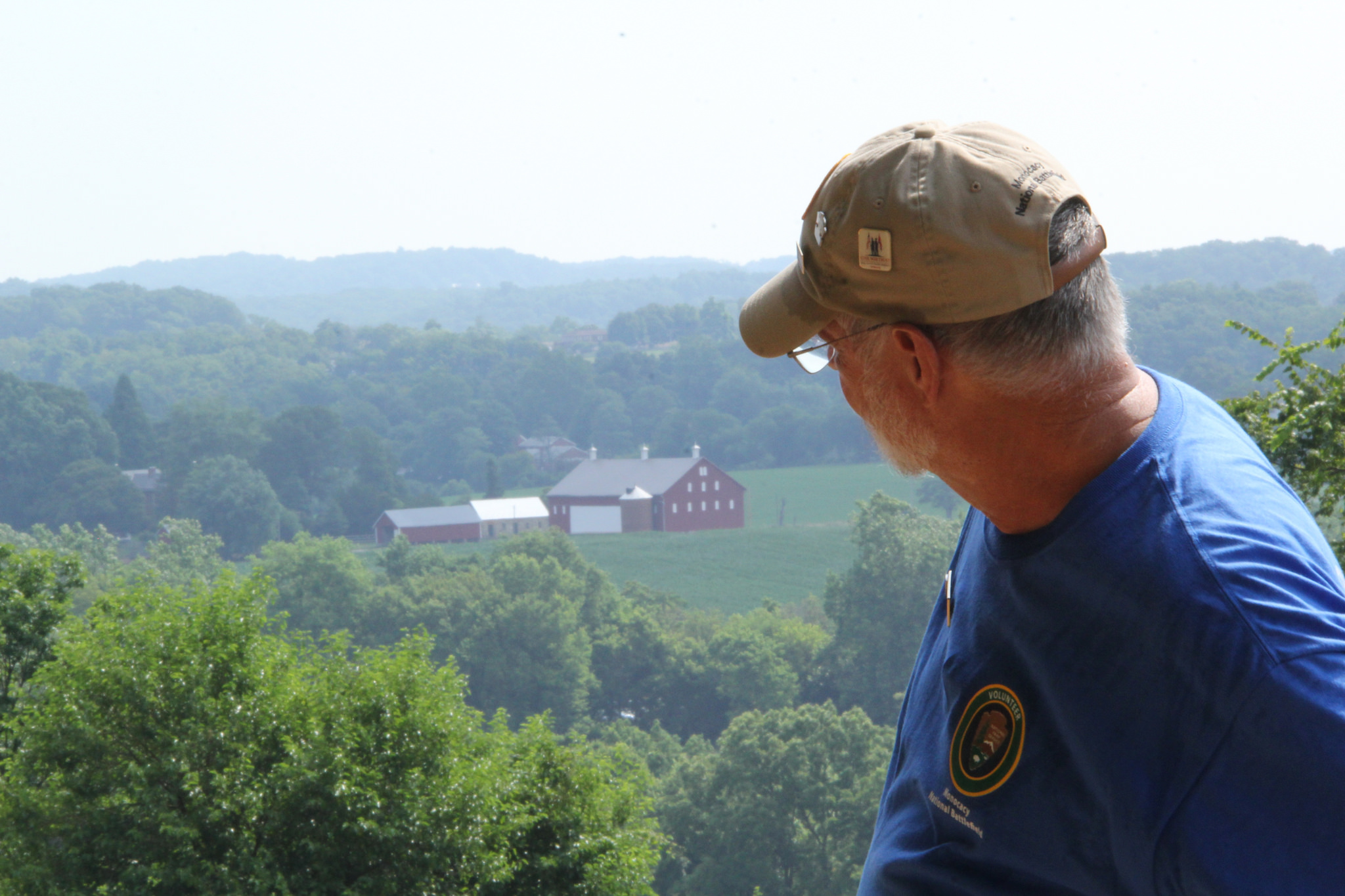
Hikes at the Worthington Farm
Take a hike at Worthington Farm! Three trails at Worthington Farm provide options for exploring.
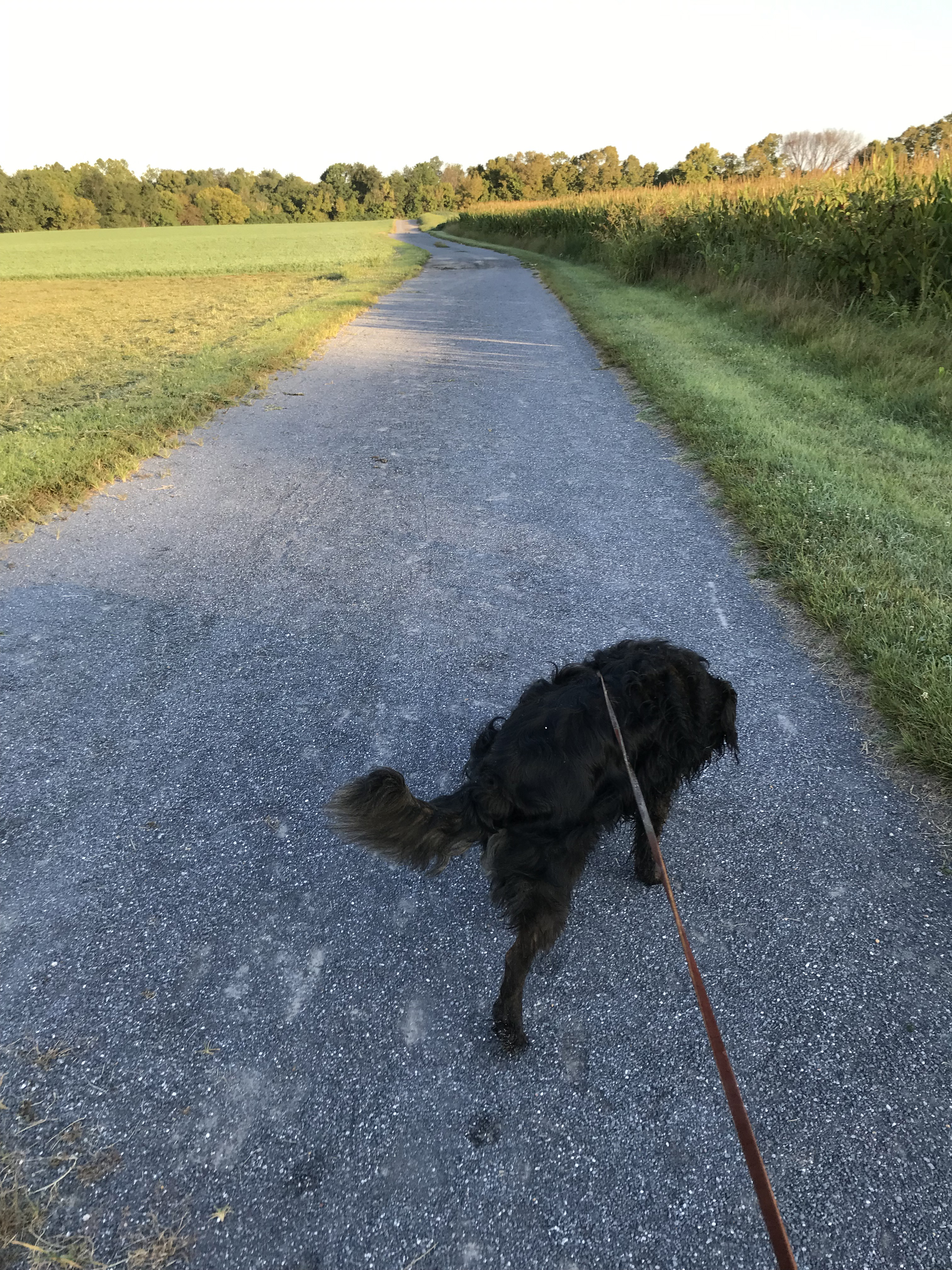
Hike The Thomas Farm Trail
Take a hike at Thomas Farm! Two trails at the Thomas Farm provide options for exploring.
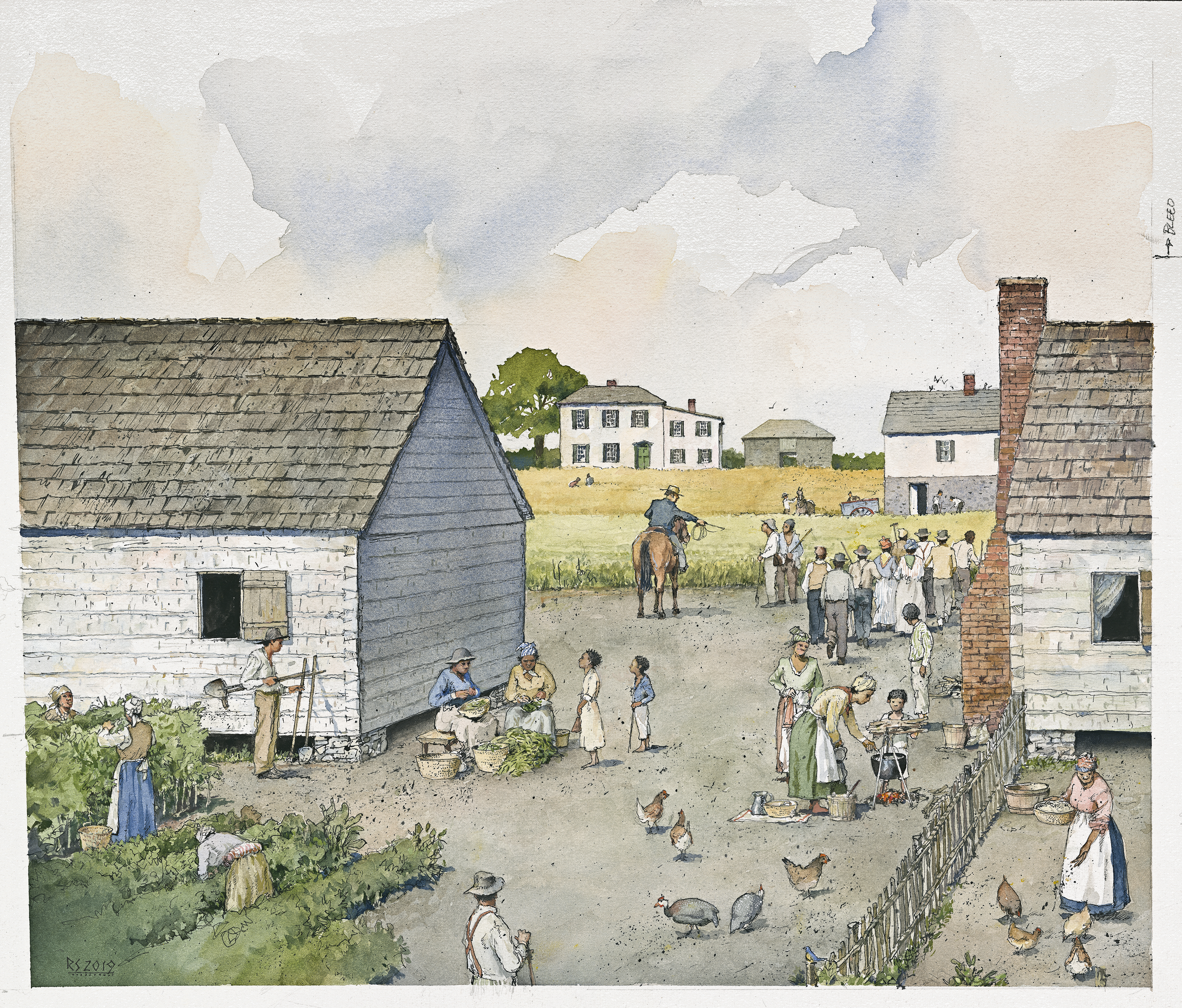
Explore L'Hermitage
Explore the late 18th century slave plantation known as L'Hermitage.
Visitor Centers
Visitor Center
A bookstore, public restrooms, and an interactive museum are located within the Visitor Center. The Visitor Center is open Thursday through Monday from 9:00 a.m.…
Nearby National Park Service Sites
These sites are ordered by straight-line distance between NPS reference coordinates. This is useful for comparison, but it is not road mileage. Trails, parkways, rivers, and distributed units may extend far from their reference point.
Nearby Cities for Trip Planning
These cities are ordered by straight-line distance from the NPS reference coordinate. They are comparison starting points, not official park gateways or road-distance estimates. Trails and other distributed units may extend far beyond this reference point.
🗺️ Guided Tours & Experiences
Discover Monocacy National Battlefield with expert-led tours
We earn a commission if you make a purchase, at no additional cost to you.
🏨 Search Lodging for Monocacy National Battlefield
Review lodging results matching this park or site name
We earn a commission if you make a purchase, at no additional cost to you.