
About Katahdin Woods and Waters National Monument
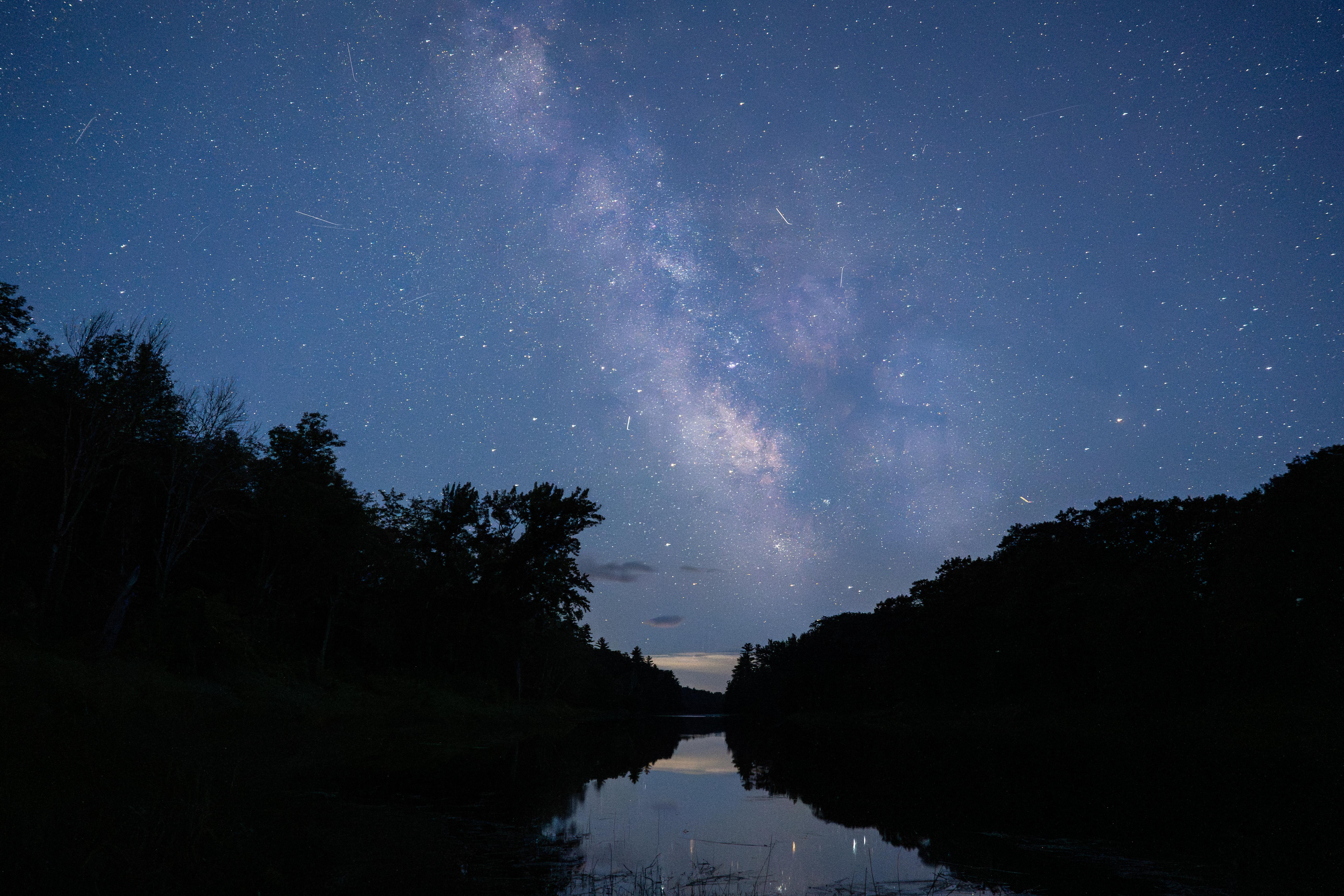
Spread across a wild landscape offering spectacular views of Katahdin, Katahdin Woods and Waters invites discovery of its rivers, streams, woods, flora, fauna, geology, and the night skies that have attracted humans for millennia.
Plan a Visit
Core visitor information on this page is sourced from the National Park Service. NPD proximity sections use NPS reference coordinates and straight-line distance. Local source bundle updated Sep 27, 2026. View the official NPS page.
Weather & Conditions
Northern Maine experiences all four seasons. Summer temperatures range from 45-90F (7-30C). Fall temperatures range from 30-70F (-1-21C). Typically, the first frost is in mid-October and first snowfall begins in November and can continue through April with an average accumulation of 73 inches (185 cm). Winter temperatures range from 14-35F…
NPS Reference Location
Park state / territory membership: Maine. This map uses the National Park Service reference coordinate. It may represent an administrative or reference point rather than a park entrance, trailhead, visitor center, or the nearest access point. Use the official NPS directions below when planning travel.
Operating Hours
Katahdin Woods and Waters National Monument is open year-round. From mid-November to late May, the north entrance and Katahdin Loop Road are closed to wheeled vehicles. Two gates on the Swift Brook Road leading to the southern sections of the monument are managed by a neighboring timber company and may be closed to wheeled vehicles as well from mid-November to late May.
Activities
Current Alerts
Hunting in Katahdin Woods and Waters National Monument is now open for the 2026 season. Hunting is permitted on all monument land east of the East Branch Penobscot River. It is recommended that all visitors wear high visibility clothing regardless of their location within the monument until hunting seasons concludes. For more information about recreational hunting in the monument, please click below.
Be alert for logging trucks along Swift Brook Road between the monument boundary and the start of the Loop Road. Logging trucks will be transporting logs on Swift Brook Road to Roberts Road. Logging trucks ALWAYS have the right of way. Keep your headlights on. Never stop on roads or bridges. Pull over to the side of the road to allow trucks to pass by.
Getting There
Katahdin Woods and Waters National Monument is located in north central Maine. Drive approximately 1.5 hours north of Bangor, Maine to reach Route 11 (Katahdin Woods and Waters Scenic Byway). Route 11 is the main route to the entrances to the park. Take Route 11 to Route 159 and Grand Lake Road to access the North Entrance. Follow Route 11 to Swift Brook Road to enter the South Entrance. Take Route 11 to Route 159 and American Thread Road to access the Seboeis Parcel.
View Official DirectionsContact & Address
The NPS-listed address may be an administrative office, visitor center, mailing/contact location, or other park facility rather than a park entrance.
Topics & Themes
Things To Do
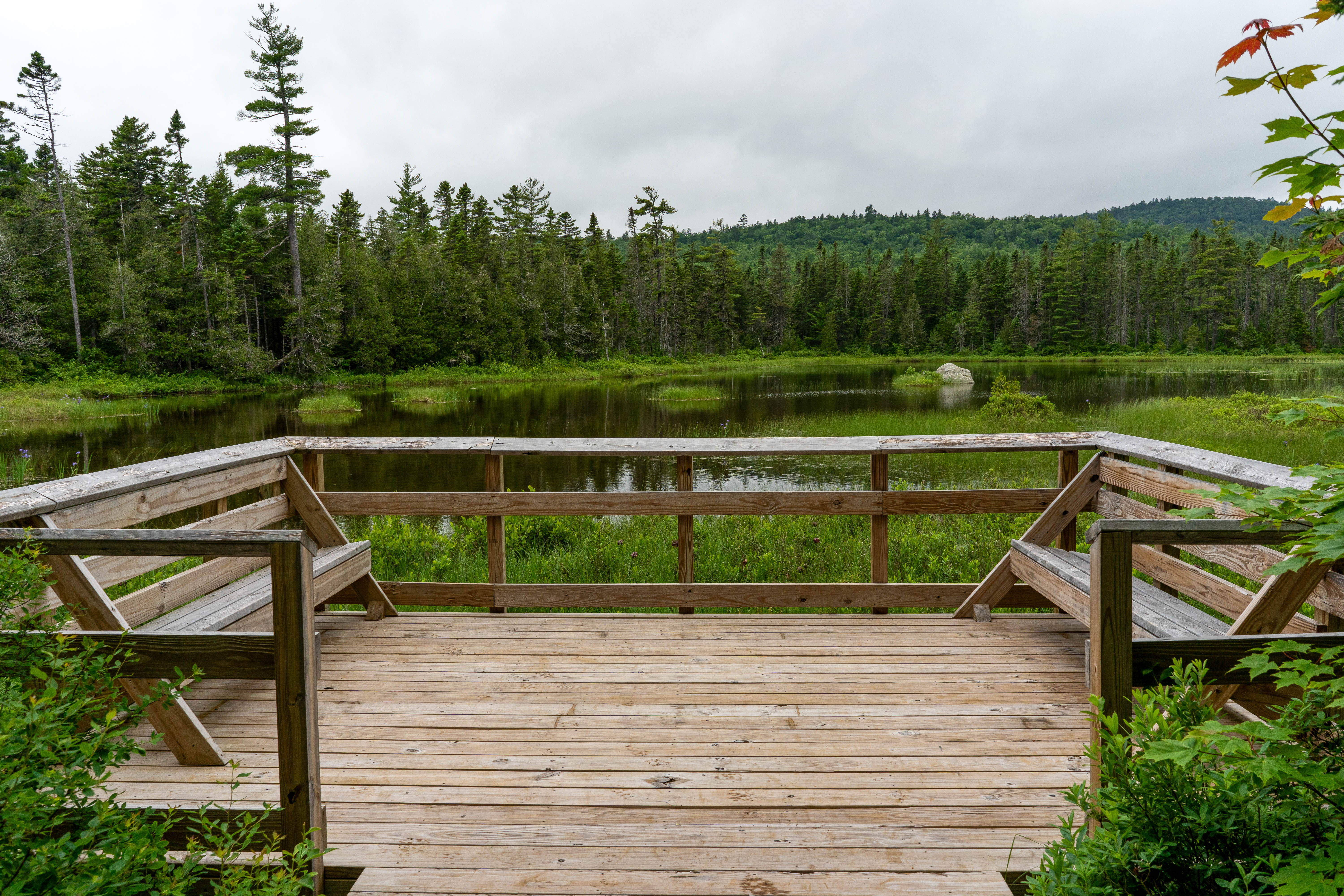
Hike Deasey Ponds Trail
Hike to Deasey Ponds by taking an easy 1.4 mile (round-trip) trail located at the southern area of the monument.…
Hike To Orin Falls
Hike to Orin Falls for a magnificent view of a cascading waterfall.
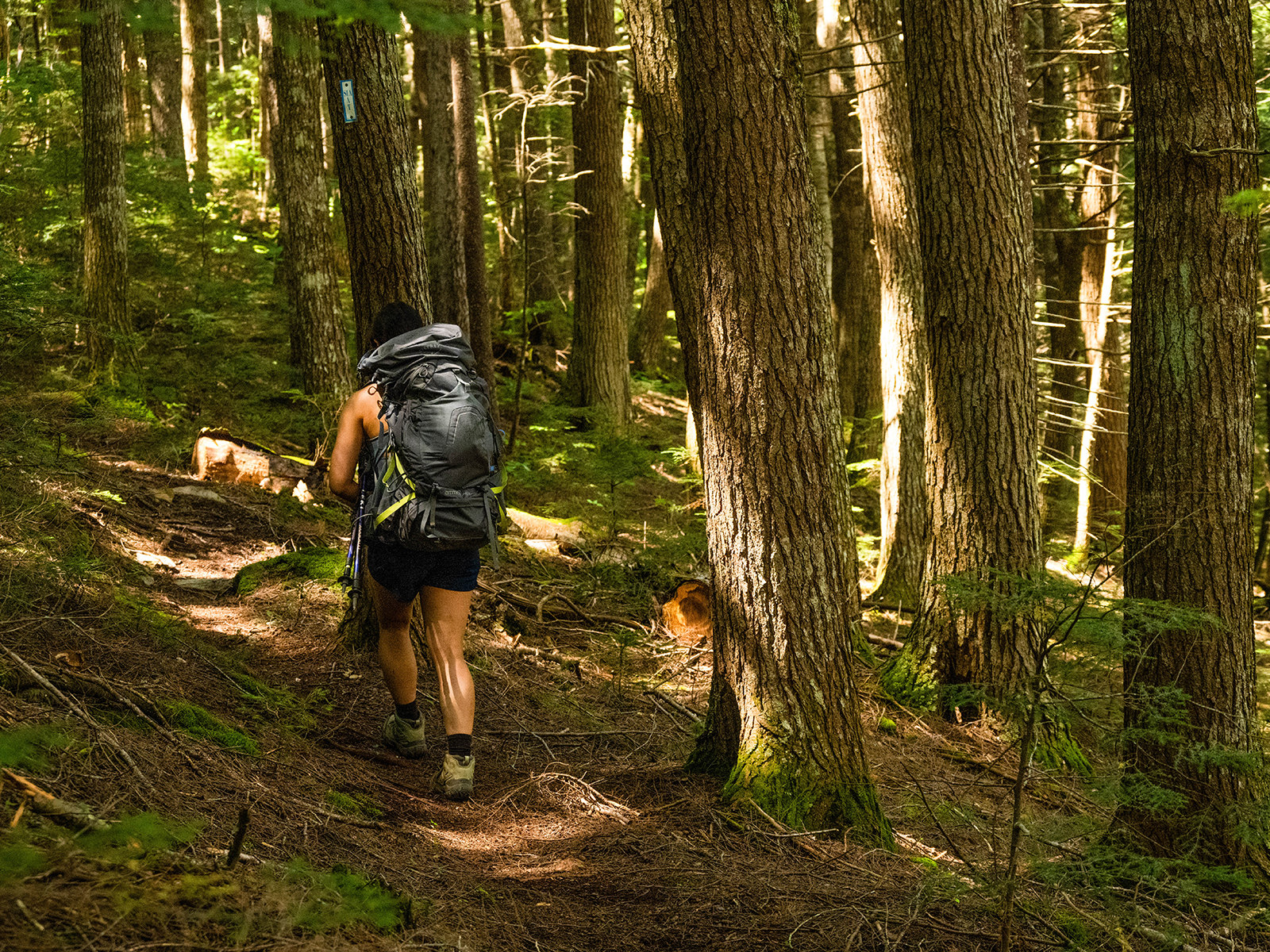
Hike the International Appalachian Trail
Hike a segment of the International Appalachian Trail that connects the southern section to the northern section of the monument.
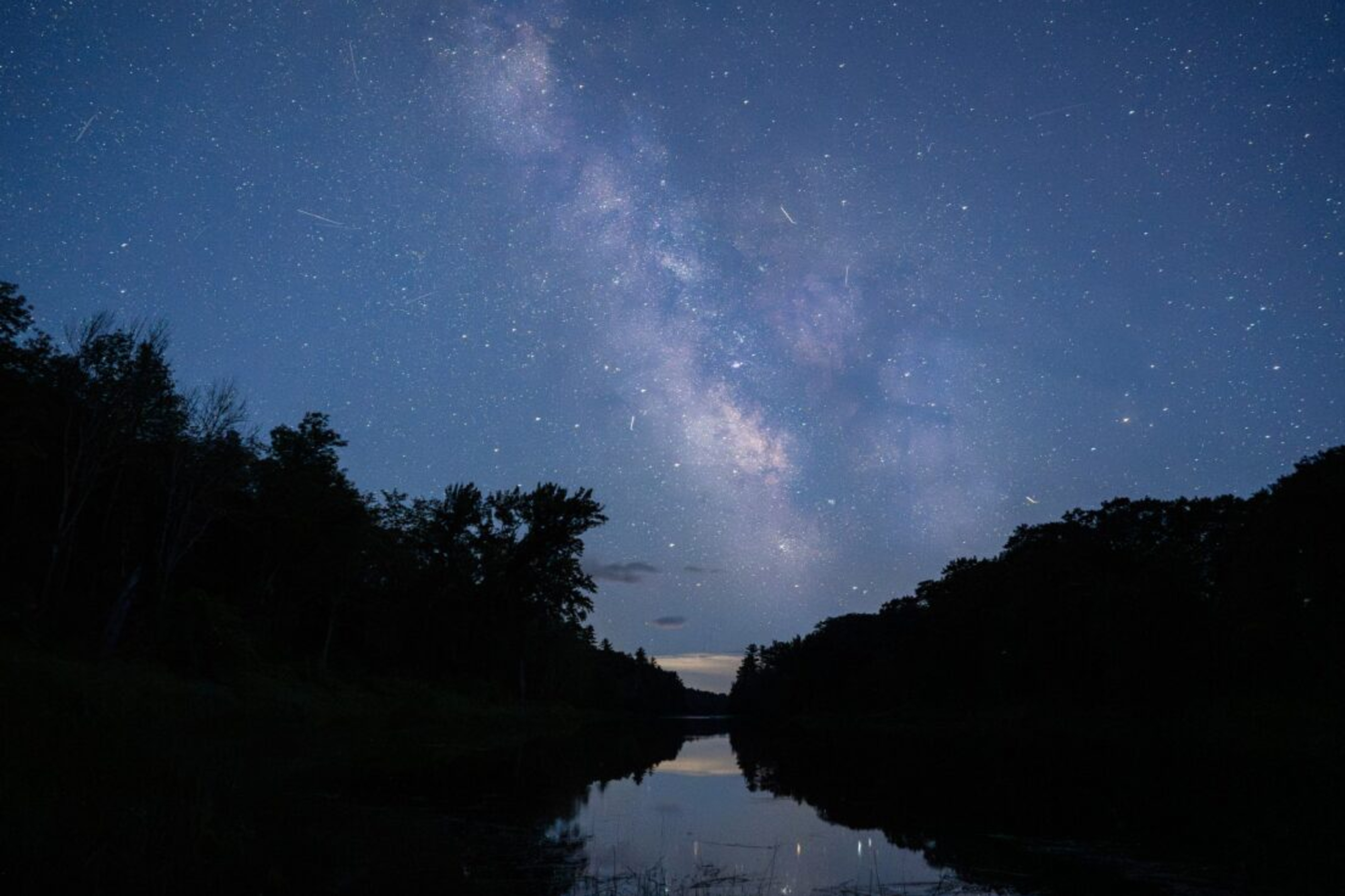
Stargaze at Katahdin Woods and Waters National Monument
Enjoy stargazing in an International Dark Sky Sanctuary with some of the darkest skies east of the Mississippi!
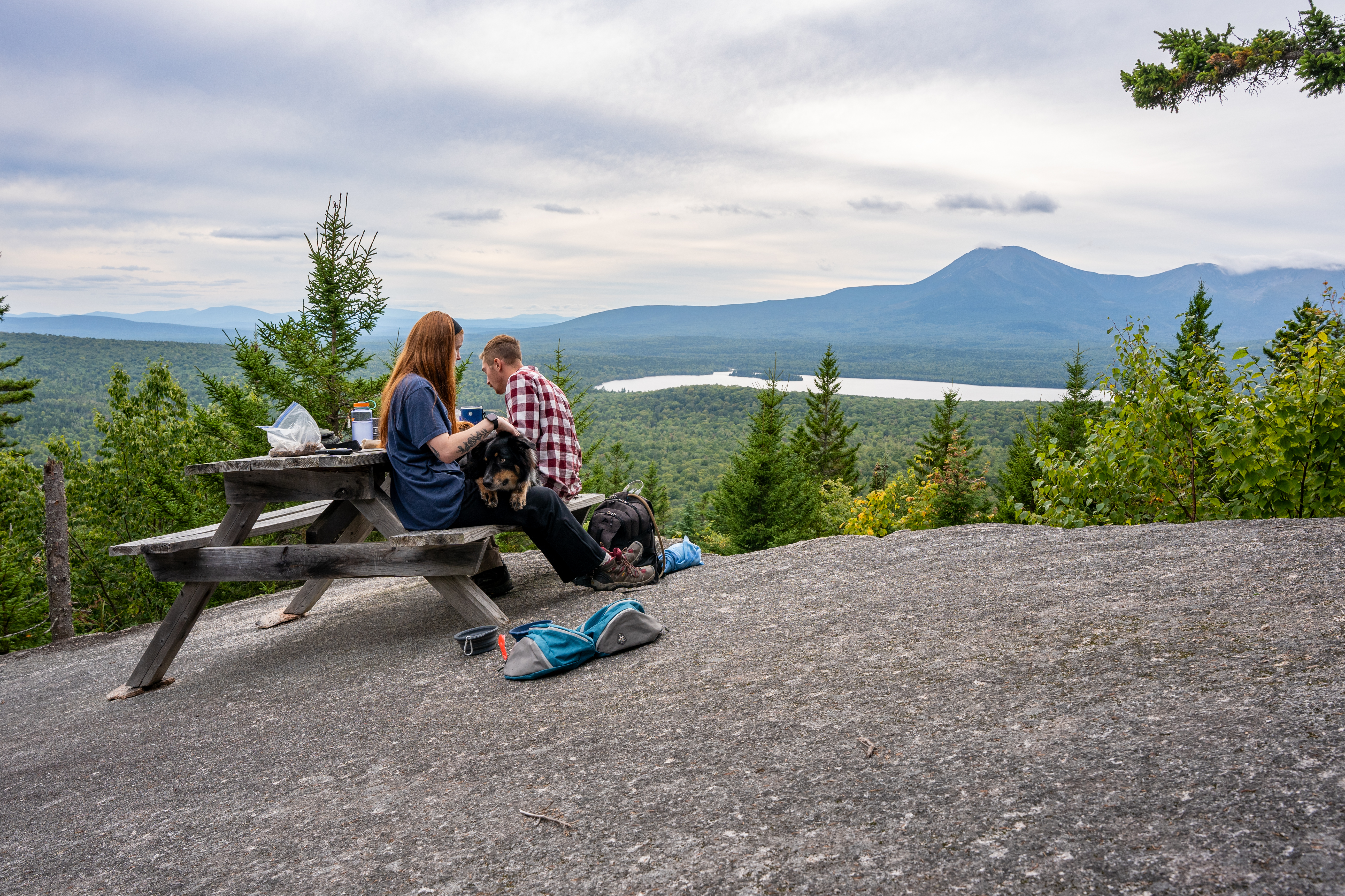
Hike To Barnard Mountain
Hike to the top of 1,558ft Barnard Mountain for a magnificent and expansive viewpoint of Katahdin Lake and Mt. Katahdin.
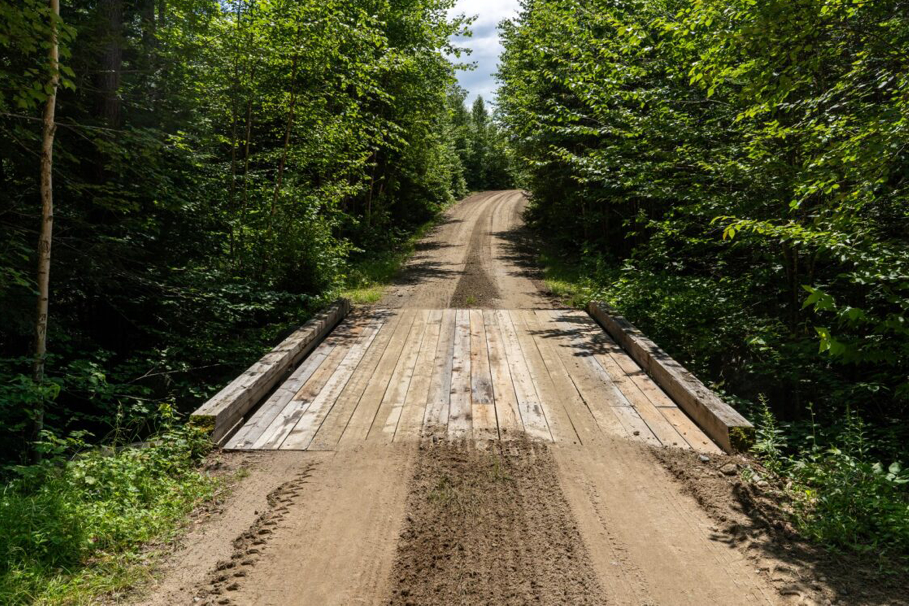
Bike the Katahdin Loop Road
The Katahdin Loop Road is a 17 mile loop starting on the Swift Brook Road past Sandbank Stream Campground.
More Things to Do
Additional activities and experiences from the National Park Service.
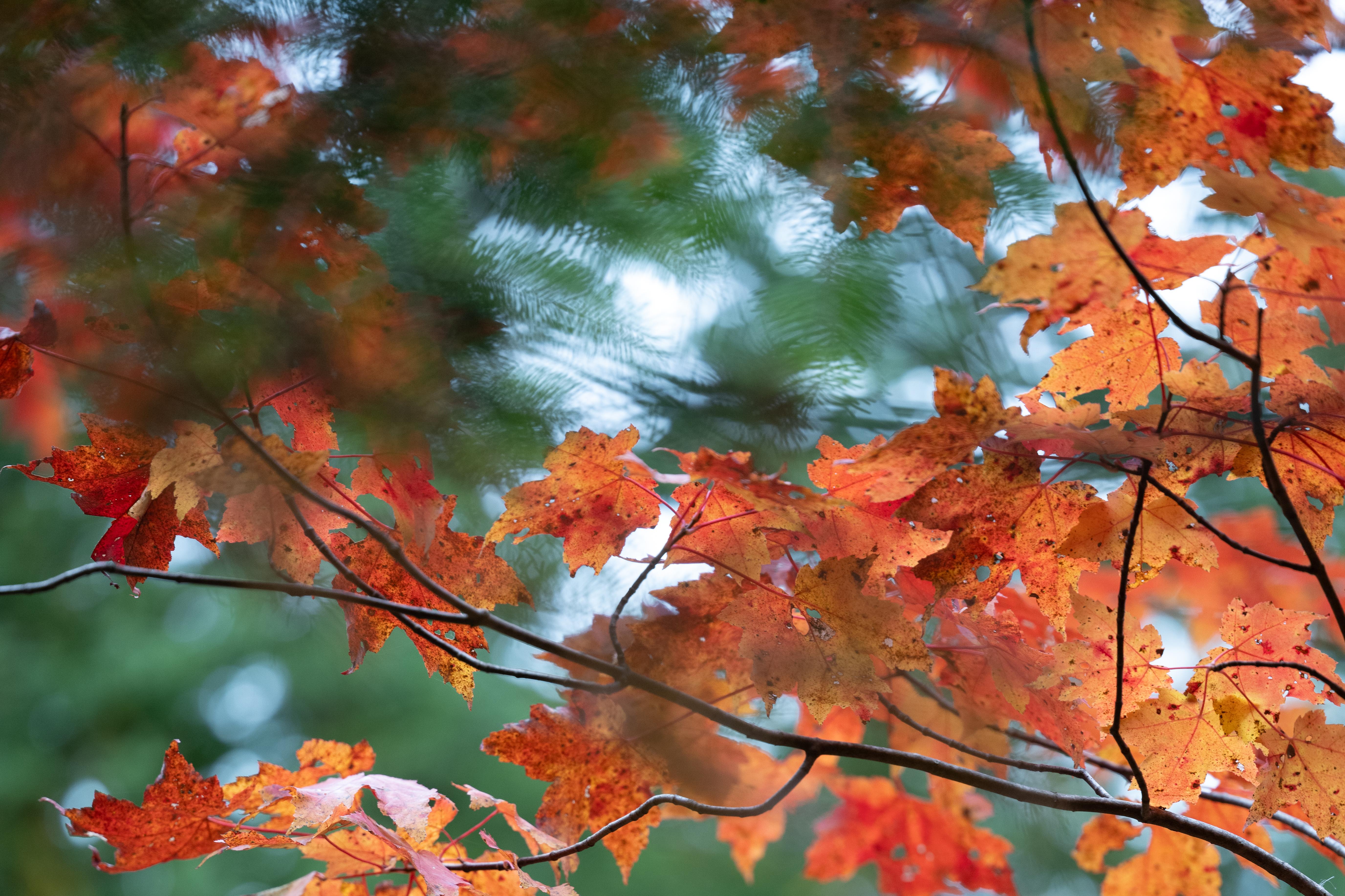
Fall Colors
Explore ways to enjoy beautiful fall colors at Katahdin Woods and Waters.
Birding In The Southern Section
Katahdin Woods and Waters National Monument provides important and diverse breeding habitat for many species of birds. Enjoy birding in the monument!
Hike the Seboeis Riverside Trail
Hike the Seboeis Riverside Trail from the Seboeis Connector Trail. Starting from the Seboeis Connector Trail makes this hike 7.2 miles out…
Birding At The North Gate Area
Katahdin Woods and Waters National Monument provides important and diverse breeding habitat for many species of birds. Enjoy birding at the north…
Hike the Lichen Trail
Enjoy a 1.2 mile (1.9km) day hike on the Lichen Trail at the south section of the monument with a wonderful view…
Paddle the East Branch of the Penobscot River (From Lunksoos Boat Launch to Big Seboeis)
Enjoy paddling the East Branch of the Penobscot River in Katahdin Woods and Waters!
Picnic at the Katahdin Loop Road Overlook
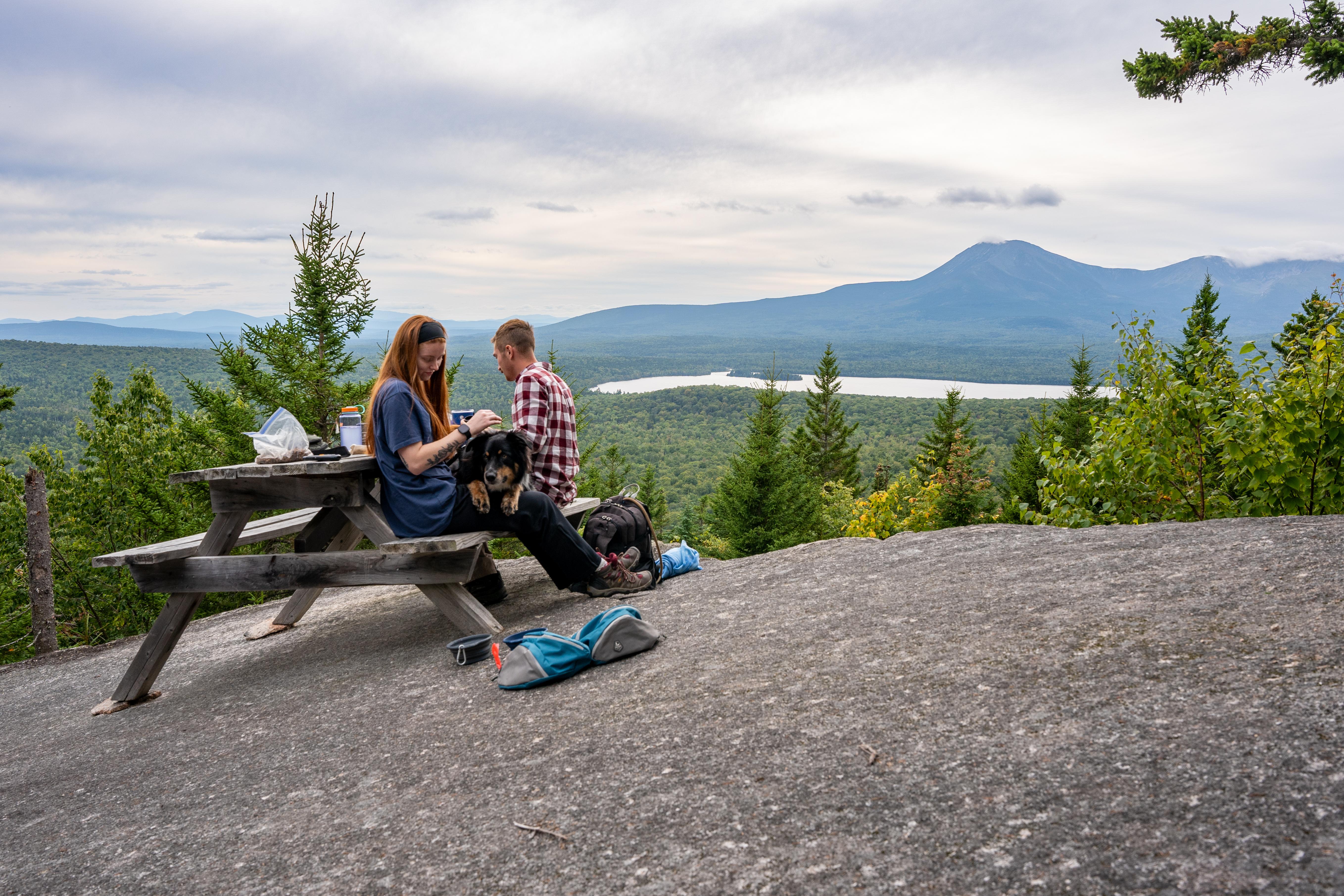
Enjoy a beautiful expansive view of Katahdin and the region from the Katahdin Loop Road Overlook.
Hunting In The Seboeis Parcel
Learn about hunting in the Seboeis Parcel of Katahdin Woods and Waters National Monument.
Hike to Haskell Rock
Hike a total of 4 miles along the East Branch of the Penobscot River on the International Appalachian Trail to view Haskell…
Hike to Deasey Mountain
Hike to the top of Deasey Mountain for a scenic view of the monument and surrounding region.
Bike the Upper East Branch Loop
Bike a 4 mile loop starting at the North Entrance to the monument off of Grand Lake Road.
Snowshoe the East Branch Loop
Snowshoe 3.7 miles around the East Branch Loop, located at the northern section of Katahdin Woods and Waters National Monument.
Showing 18 of 25 NPS Things to Do records available for Katahdin Woods and Waters National Monument.
Visitor Centers
Tekakapimək Contact Station
Tekαkαpimək Contact Station is located in the southern section of Katahdin Woods and Waters National Monument, within the homeland and ancestral territory of Penobscot Nation.…
Campgrounds
Sandbank Stream Campground
Sandbank Stream Campground has 3 campsites. It is located approximately 10 miles from the intersection of Route 11 and Swift Brook Road, near the beginning…
Lunksoos Campsites
The Lunksoos campground area has a total of 7 campsites near the East Branch of the Penobscot River. Campsite 1 is an ADA site, sites…
Upper East Branch Campsite
A large walk-in campsite located along the East Branch of the Penobscot River with access to the river. Picnic tables are available for campers, as…
Stair Falls Campsite
A primitive campsite with access to the East Branch of the Penobscot River. The site has a picnic table, food storage locker, and fire pit.…
Esker Campsite
Hike or bike approximately 2.2 miles from the Wassataquoik Gate to the Esker Campsite. This campsite is located in a forested area on the bank…
Katahdin Brook Lean-to
This campsite is tucked in just off the International Appalachian Trail (IAT) on Barnard Mountain Trailhead, approximately 0.4 miles from the trailhead. This is the…
Wassataquoik Lean-to
A lean-to (a raised, 3-sided log shelter structure with a roof) campsite along the International Appalachian Trail near the Wassataquoik Stream. The site is 0.9…
Wassataquoik Campsite
A beautiful primitive hike or bike in campsite located next to Katahdin Brook along the International Appalachian Trail. The campsite is near the Wassataquoik Lean-to…
Big Seboeis Campsite
Access this scenic primitive backcountry campsite located next to the East Branch of the Penobscot River by boating in or hiking in. This location cannot…
Big Spring Brook Campsite
Primitive backcountry campsite along the East Branch of the Penobscot River that is only accessible by boat. Big Spring Brook is located approximately 10.7 miles…
Haskell Deadwater Campsite
Backcountry campsite along the banks of Haskell Deadwater and the Haskell Rock Pitch Portage.
Pond Pitch Campsite
A rustic backcountry campsite overlooking the majestic Pond Pitch and wild East Branch of the Penobscot River.
Grand Pitch Lean-to
A backcountry lean-to along the International Appalachian Trail and Grand Pitch Portage. Grand Pitch Lean-to is located 3.6 miles from Haskell Gate.
Big Spring Brook Hut
A beautiful log cabin tucked away in the heart of the forest of Katahdin Woods and Waters NM. Reservations are required through Recreation.gov. Plan for…
Haskell Hut
A small log cabin on a hill with a beautiful view of Haskell Deadwater. Here, you can enjoy the sounds and sights of the woods…
Lunksoos Mountain Lean-To
A rugged lean-to site within the heart of the backcountry of Katahdin Woods & Waters National Monument.
Nearby National Park Service Sites
These sites are ordered by straight-line distance between NPS reference coordinates. This is useful for comparison, but it is not road mileage. Trails, parkways, rivers, and distributed units may extend far from their reference point.

Nearby Cities for Trip Planning
These cities are ordered by straight-line distance from the NPS reference coordinate. They are comparison starting points, not official park gateways or road-distance estimates. Trails and other distributed units may extend far beyond this reference point.
🗺️ Guided Tours & Experiences
Discover Katahdin Woods and Waters National Monument with expert-led tours
We earn a commission if you make a purchase, at no additional cost to you.
🏨 Search Lodging for Katahdin Woods and Waters National Monument
Review lodging results matching this park or site name
We earn a commission if you make a purchase, at no additional cost to you.