About George Rogers Clark National Historical Park
The British flag would not be raised above Fort Sackville Feb. 25, 1779. At 10 A.M., the garrison surrendered to American Colonel George Rogers Clark. His American army, aided by French residents of the Illinois country, had marched through freezing floodwaters to gain this victory. The fort’s capture assured United States claims to the frontier, an area nearly as large as the original 13 states.
Plan a Visit
Core visitor information on this page is sourced from the National Park Service. NPD proximity sections use NPS reference coordinates and straight-line distance. Local source bundle updated Sep 27, 2026. View the official NPS page.
Weather & Conditions
The weather in the area is quite typical for the Midwest. The average temperature for the winter months is in the mid 30s, but the summers can often be hot and humid with temperatures reaching into the 90s.
NPS Reference Location
Park state / territory membership: Indiana. This map uses the National Park Service reference coordinate. It may represent an administrative or reference point rather than a park entrance, trailhead, visitor center, or the nearest access point. Use the official NPS directions below when planning travel.
Operating Hours
The George Rogers Clark National Historical Park Visitor Center is a great place to start your visit. The visitor center contains a small exhibit area, bookstore, and restrooms. The 30-minute introductory movie called "Long Knives" shares the backstory of George Rogers Clark and his campaign during the American Revolution. Before going to the Clark Memorial, check-in with a ranger at the visitor center.
Activities
Current Alerts
George Rogers Clark National Historical Park is located in the Eastern Time Zone. The memorial closes 15 minutes before the visitor center.
Getting There
The George Rogers Clark National Historical Park is located within the city of Vincennes, Indiana. Evansville is approximately 50 miles to the south and Terre Haute is approximately 50 miles to the north. Highway 41 provides good roads from the north or south. Highway 50 provides access from the east and west. From Hwy 50 east and west or from Hwy 41 from the north use the 6th Street exit. On Hwy 41 from the South use the Willow Street exit. From there follow the blue directional signs for the park.
View Official DirectionsContact & Address
The NPS-listed address may be an administrative office, visitor center, mailing/contact location, or other park facility rather than a park entrance.
Topics & Themes
Things To Do

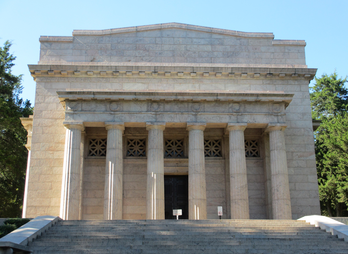
Visit the Clark Memorial
Visit the Memorial and see the seven (7) murals that tell the story of Clark and the Old Northwest along…

Become a Junior Ranger at George Rogers Clark
The Junior Ranger program helps kids get involved and learn more about George Rogers Clark and the Revolutionary War. Anyone…

Park Film - Long Knives
A 30 minute film talking about George Rogers Clark, his march to Vincennes, and the attack on Fort Sackville.

See the Visitor Center
Start your experience at the Visitor Center. Park Staff and volunteers will be located at the front desk to greet…
Visitor Centers
George Rogers Clark National Historical Park Visitor Center
The George Rogers Clark National Historical Park Visitor Center is a great place to start your visit. The visitor center contains a small exhibit area.…
Nearby National Park Service Sites
These sites are ordered by straight-line distance between NPS reference coordinates. This is useful for comparison, but it is not road mileage. Trails, parkways, rivers, and distributed units may extend far from their reference point.