
About Fort Bowie National Historic Site
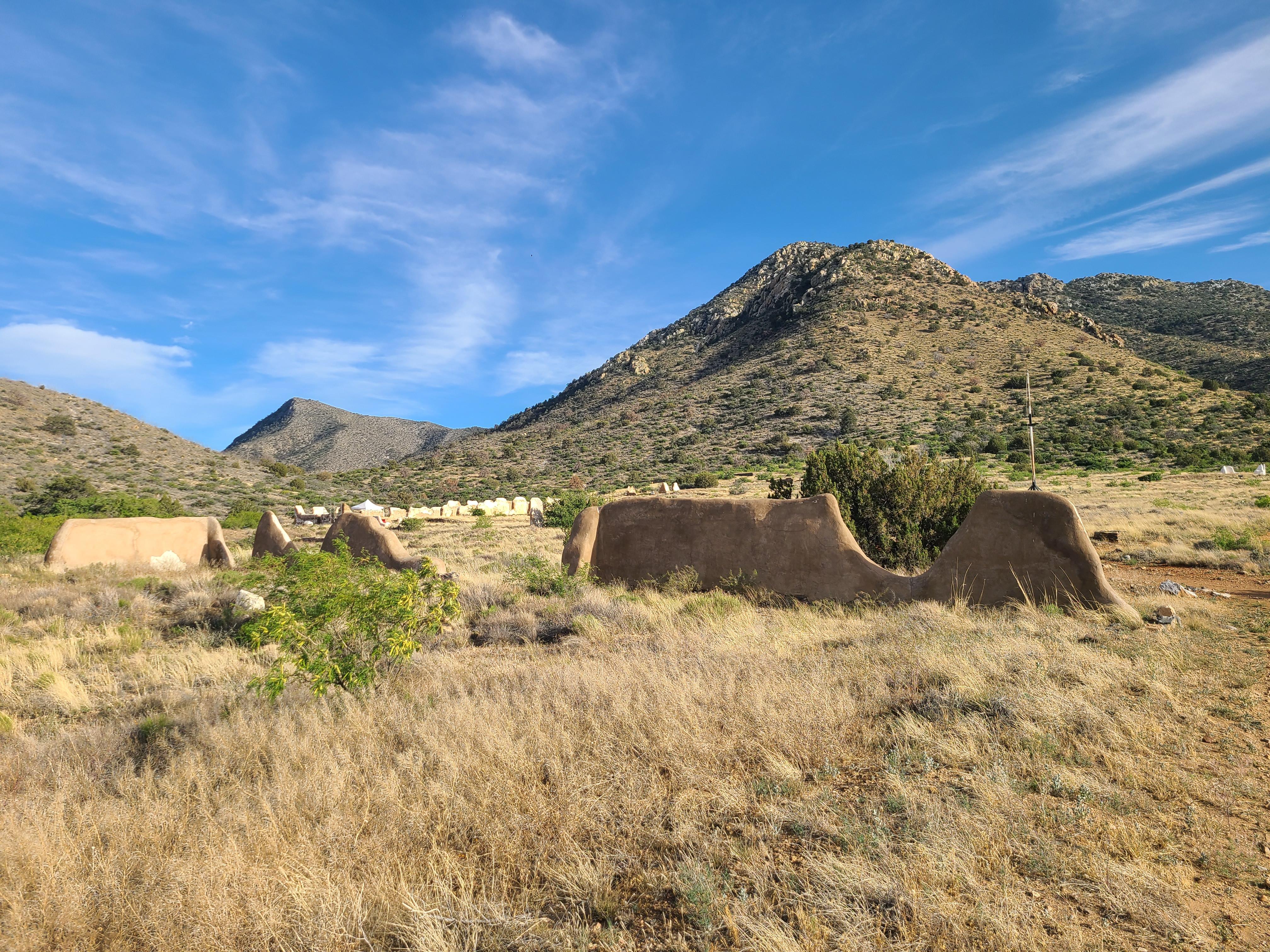
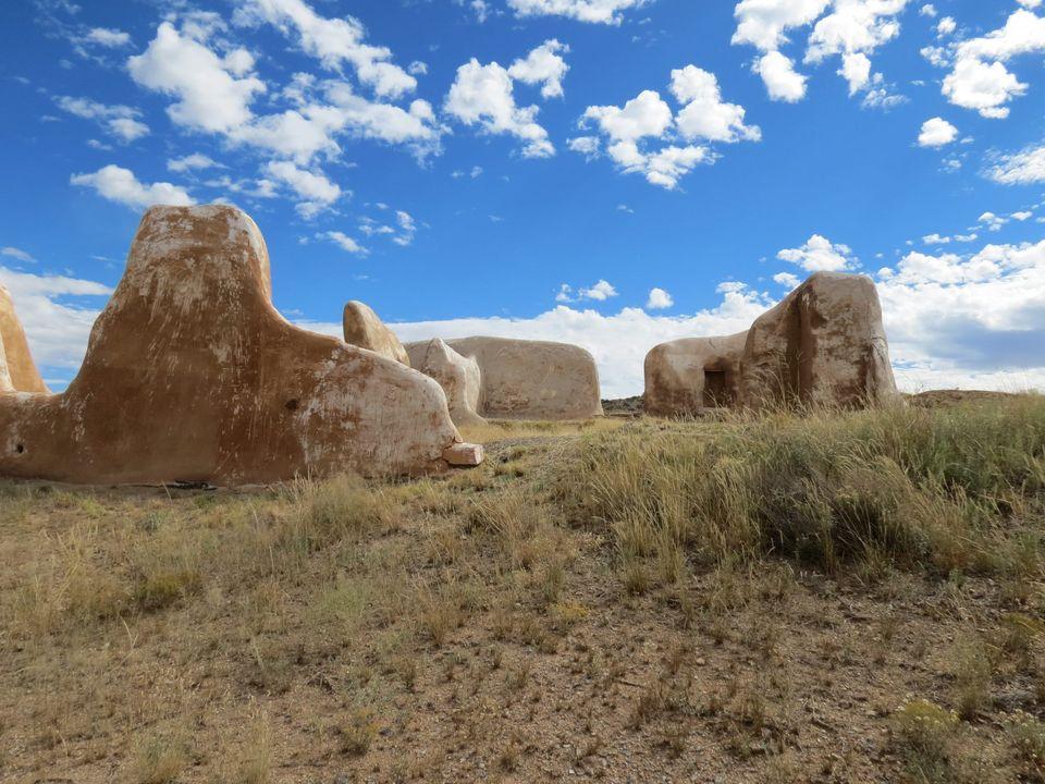
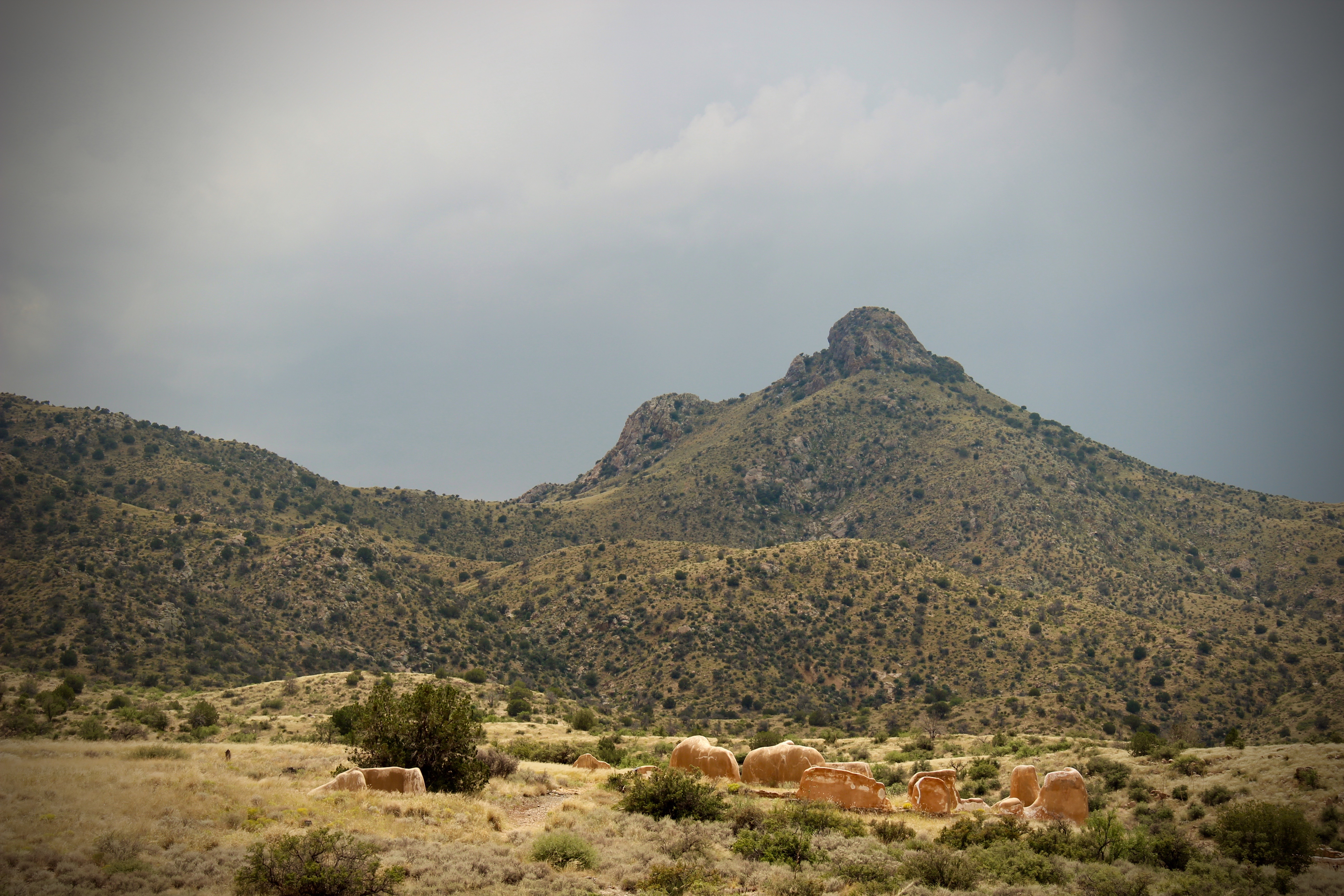
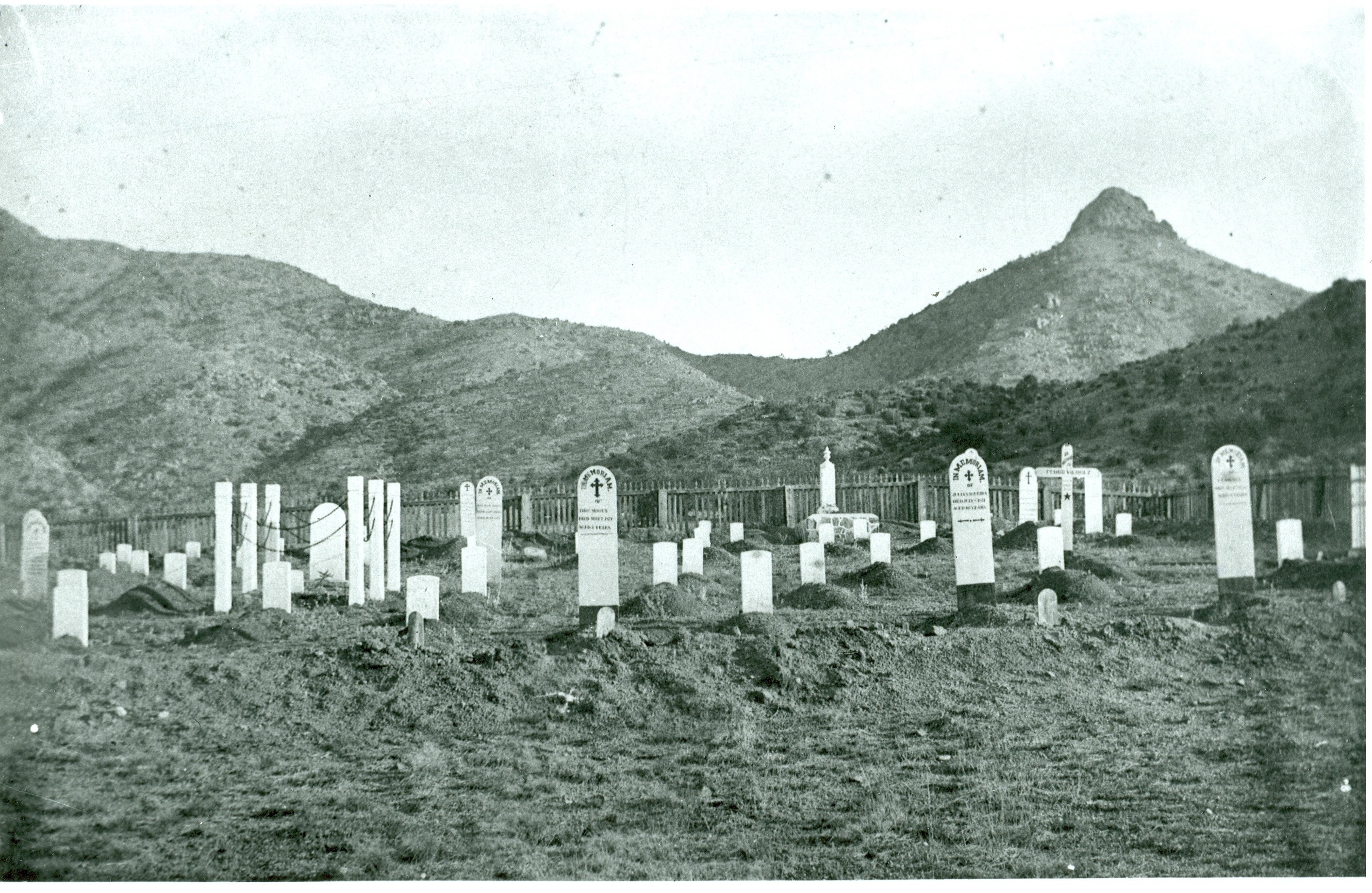
For nearly 25 years, Fort Bowie stood at the crossroads of the Chiricahua Apache's fight to defend their ancestral homeland and the U.S. Army's westward expansion. Today, visitors embark on a 3-mile scenic loop trail traversing the ground where this profound cultural collision forever altered the course of both American and Indigenous history.
Plan a Visit
Core visitor information on this page is sourced from the National Park Service. NPD proximity sections use NPS reference coordinates and straight-line distance. Local source bundle updated Sep 27, 2026. View the official NPS page.
NPS Reference Location
Park state / territory membership: Arizona. This map uses the National Park Service reference coordinate. It may represent an administrative or reference point rather than a park entrance, trailhead, visitor center, or the nearest access point. Use the official NPS directions below when planning travel.
Operating Hours
The Historic Site trails and ruins are open every day from sunrise to sunset. Please see Visitor Center tab for museum and visitor center hours.
Activities
Current Alerts
The trail remains open for hiking and foot traffic. For more information, see our policy page.
For your convenience, we accept all major credit and debit cards, as well as mobile payment options. Electronic payment reduces transaction times, save money, and improves accountability. Thank you for your understanding and continued support!
Getting There
From Willcox, AZ / points west on I-10: drive 23 miles east of Willcox on Interstate 10 to the the town of Bowie. Exit at the first Bowie exit and drive through the town. Follow the signs for Fort Bowie National Historic Site and turn south on Apache Pass Road. Drive 13 miles to the Fort Bowie Trailhead (the last mile of the road is unpaved). Be prepared to walk the three miles round trip to the ruins and back to your car.
View Official DirectionsContact & Address
The NPS-listed address may be an administrative office, visitor center, mailing/contact location, or other park facility rather than a park entrance.
Topics & Themes
Things To Do
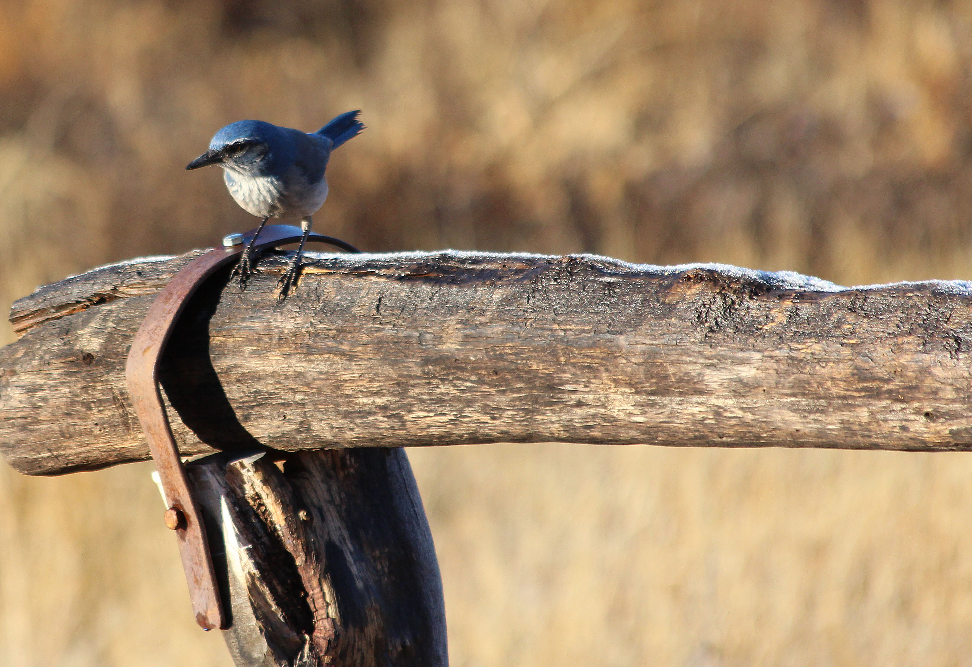
Birding at Fort Bowie
Birdwatching is a popular activity at Fort Bowie National Historic Site. Some birds can be observed year-round, while others are…
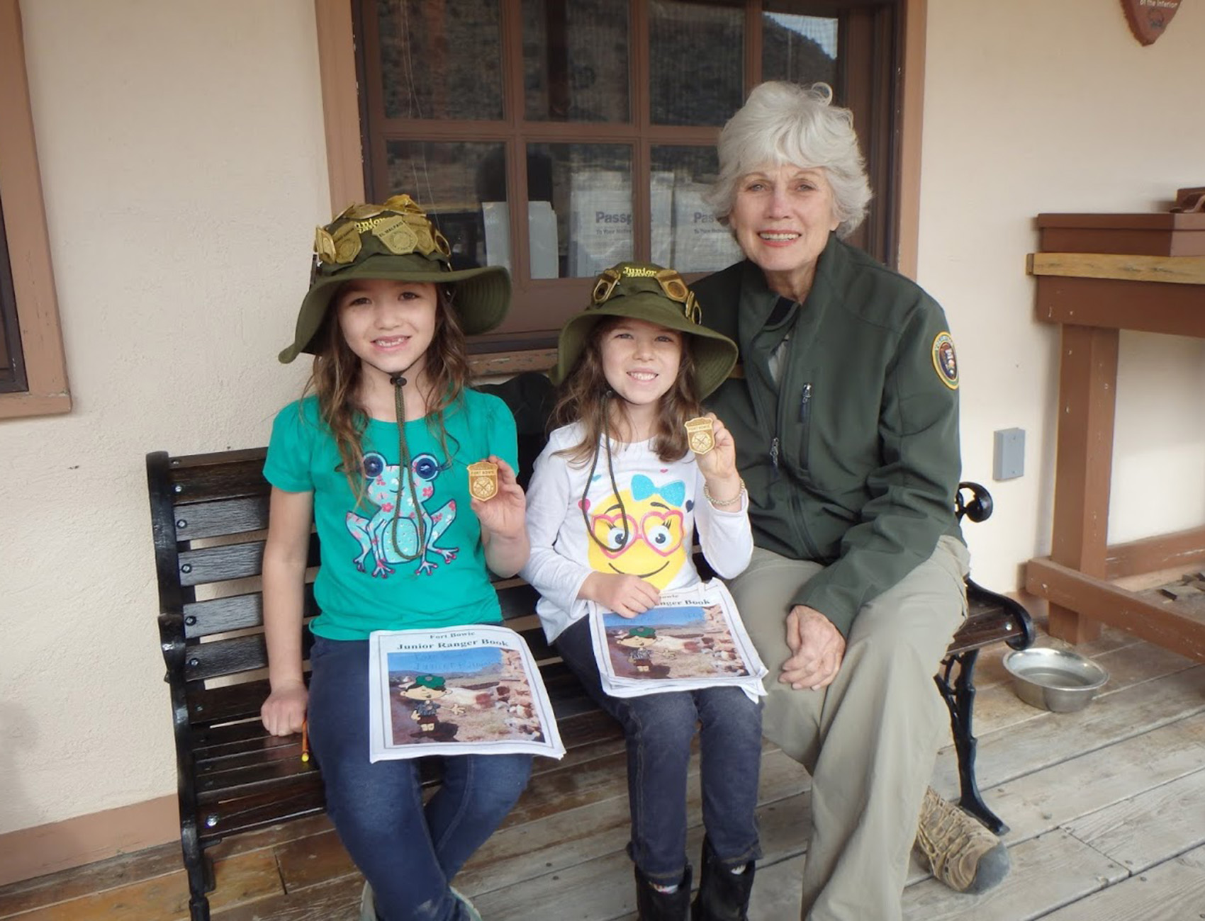
Fort Bowie Junior Ranger Program
Become a Junior Ranger at Fort Bowie National Historic Site. Books are available at the park visitor center.
Visitor Centers
Fort Bowie National Historic Site Visitor Center
The visitor center is best accessed via the Fort Bowie Trail. The story of Apache Pass and the events that led to the establishment of…
Nearby National Park Service Sites
These sites are ordered by straight-line distance between NPS reference coordinates. This is useful for comparison, but it is not road mileage. Trails, parkways, rivers, and distributed units may extend far from their reference point.
Nearby Cities for Trip Planning
These cities are ordered by straight-line distance from the NPS reference coordinate. They are comparison starting points, not official park gateways or road-distance estimates. Trails and other distributed units may extend far beyond this reference point.
🗺️ Guided Tours & Experiences
Discover Fort Bowie National Historic Site with expert-led tours
We earn a commission if you make a purchase, at no additional cost to you.
🏨 Search Lodging for Fort Bowie National Historic Site
Review lodging results matching this park or site name
We earn a commission if you make a purchase, at no additional cost to you.