
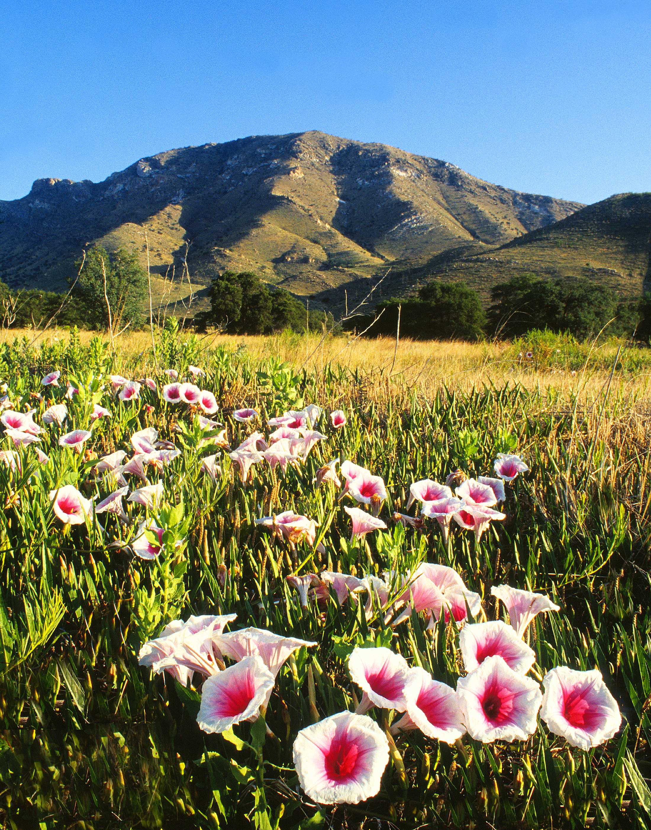
About Coronado National Memorial
It was a journey of conquest filled with exploration, wonder - and cruelty. Inspired by tales of vast cities of gold, 339 European soldiers and over a thousand Aztec allies embarked on an epic journey through arid deserts and rugged mountains. They encountered rich traditions and brought new technologies. The resulting collision and combination of cultures reverberates today.
Plan a Visit
Core visitor information on this page is sourced from the National Park Service. NPD proximity sections use NPS reference coordinates and straight-line distance. Local source bundle updated Sep 27, 2026. View the official NPS page.
Weather & Conditions
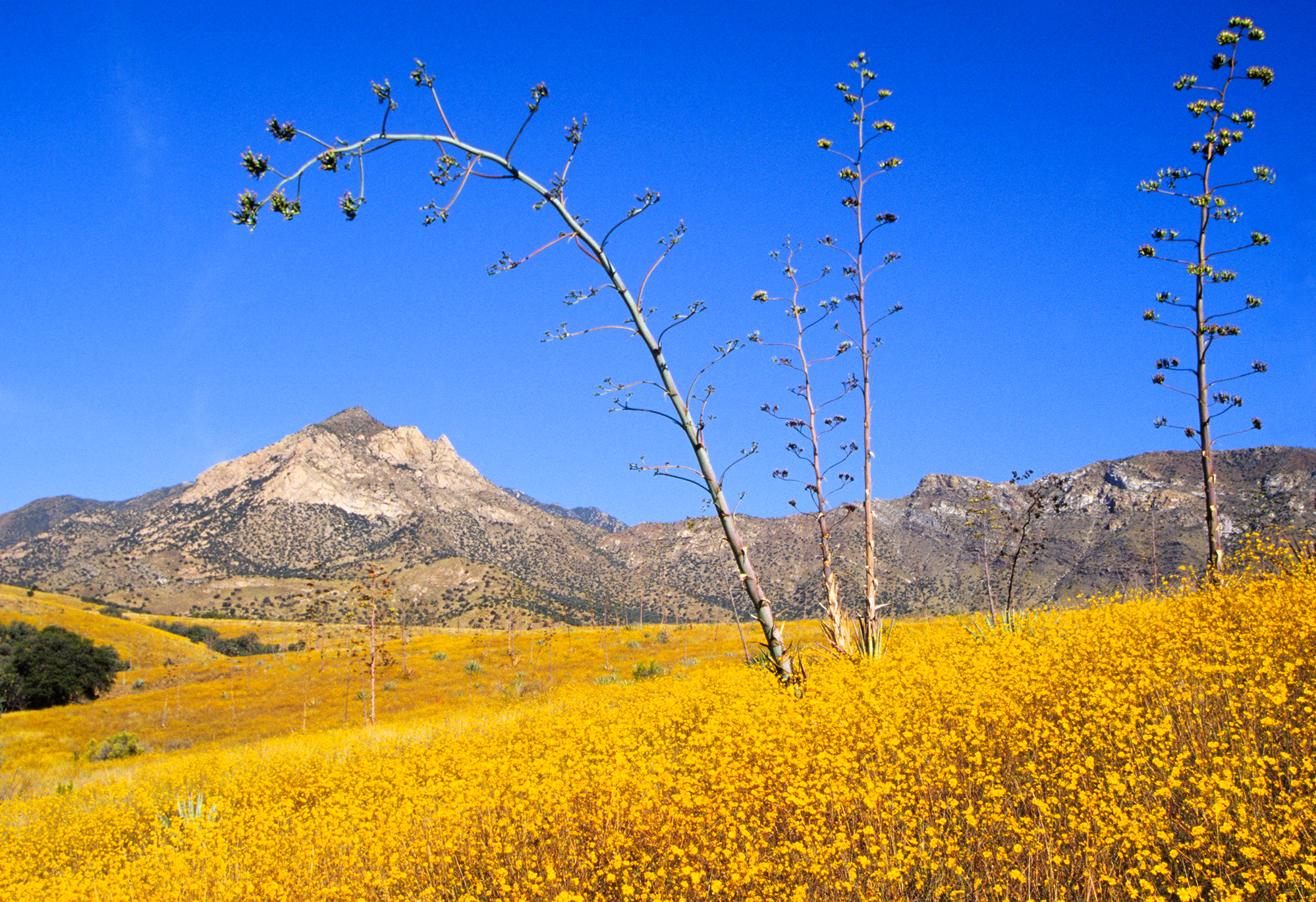
Though the park shares a border with our southern neighbors, the elevation and the mountain ecosystem keep Coronado National Memorial relatively cool in the summer, and winter can bring snow. Summers are warm, with daytime temps in the 90s F (32-37 C) and low humidity in May, June, and July.…
NPS Reference Location
Park state / territory membership: Arizona. This map uses the National Park Service reference coordinate. It may represent an administrative or reference point rather than a park entrance, trailhead, visitor center, or the nearest access point. Use the official NPS directions below when planning travel.
Operating Hours
Coronado National Memorial is a day use park. The trails, picnic area, waysides, and Montezuma Pass overlook are open each day from one half hour before sunrise to one half hour after sunset.
Activities
Current Alerts
Due to nearby construction and blasting, the 1-mile Yaqui Ridge Trail is closed starting April 13, 2026 until further notice to ensure visitor safety. The closure begins at the junction with Joe’s Canyon Trail, and access beyond this point is not permitted. This affects access to the southern terminus of the Arizona National Scenic Trail.
Smuggling and/or illegal entry is common in this area due to the proximity of the international border. Please be aware of your surroundings at all times and do not travel alone in remote areas.
Getting There
From the city of Sierra Vista continue south on Hwy 92 about 20 miles and turn right onto S. Coronado Memorial Drive. Follow Coronado Memorial Drive (it will turn into E Montezuma Canyon Rd) 5 miles to the Visitor Center.
View Official DirectionsContact & Address
The NPS-listed address may be an administrative office, visitor center, mailing/contact location, or other park facility rather than a park entrance.
Topics & Themes
Things To Do
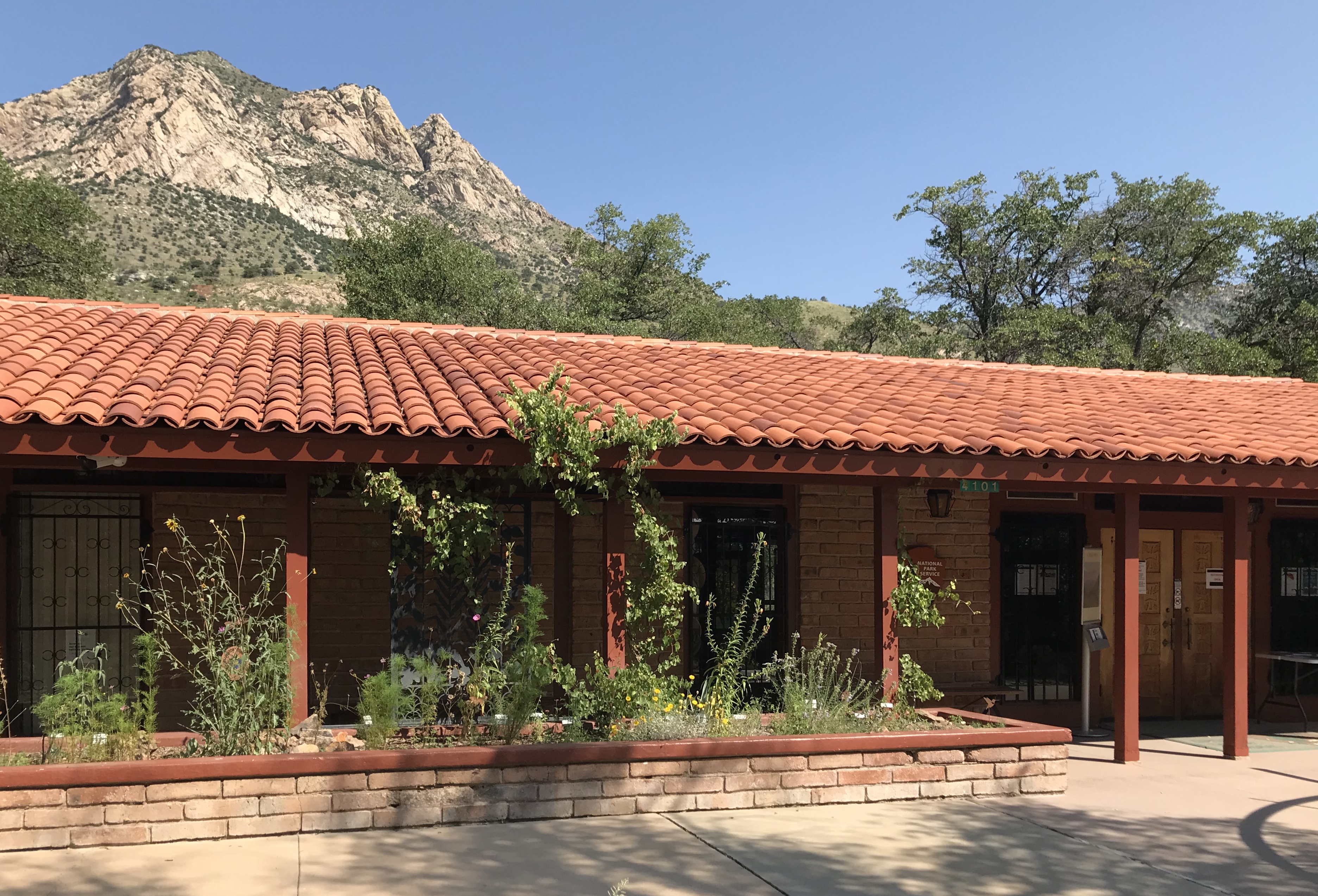
Visit Coronado Visitor Center
Explore the exhibits about the Coronado Expedition, the legacy of Spanish and Native American cultures in the region, and the…
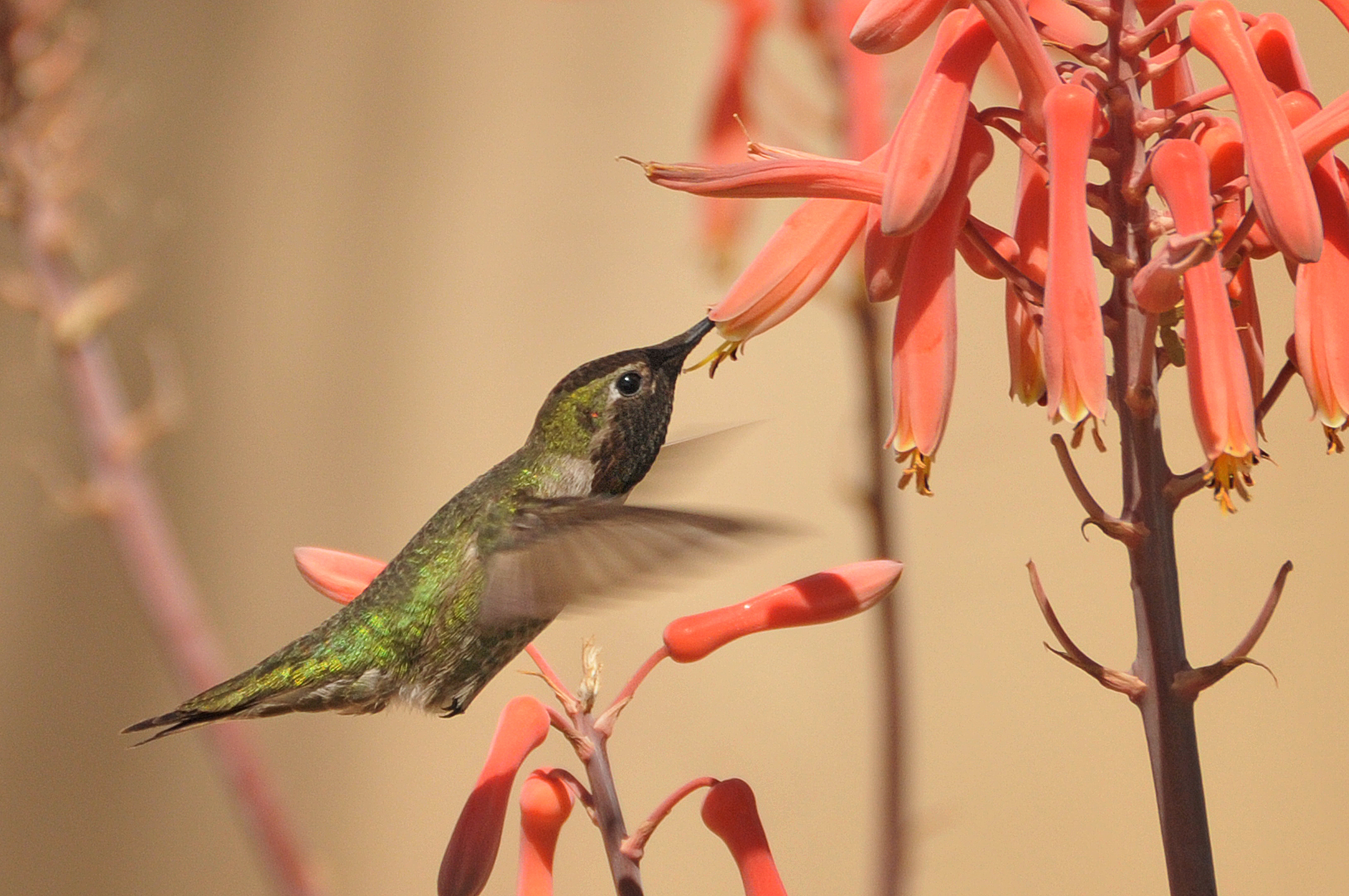
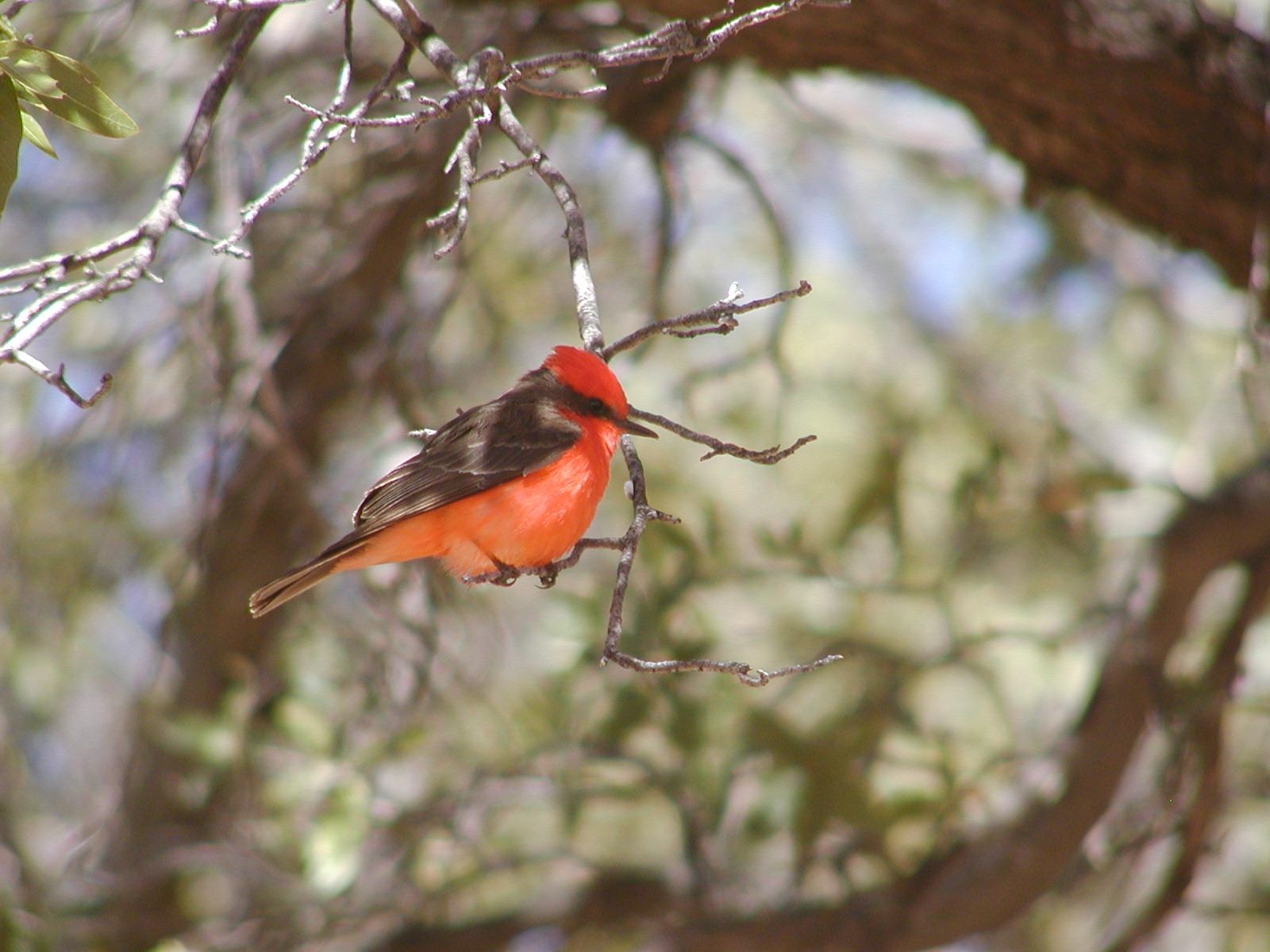
Birding at Coronado
Birds abound at Coronado National Memorial. Certain varieties are migratory, while others can be seen throughout the year.
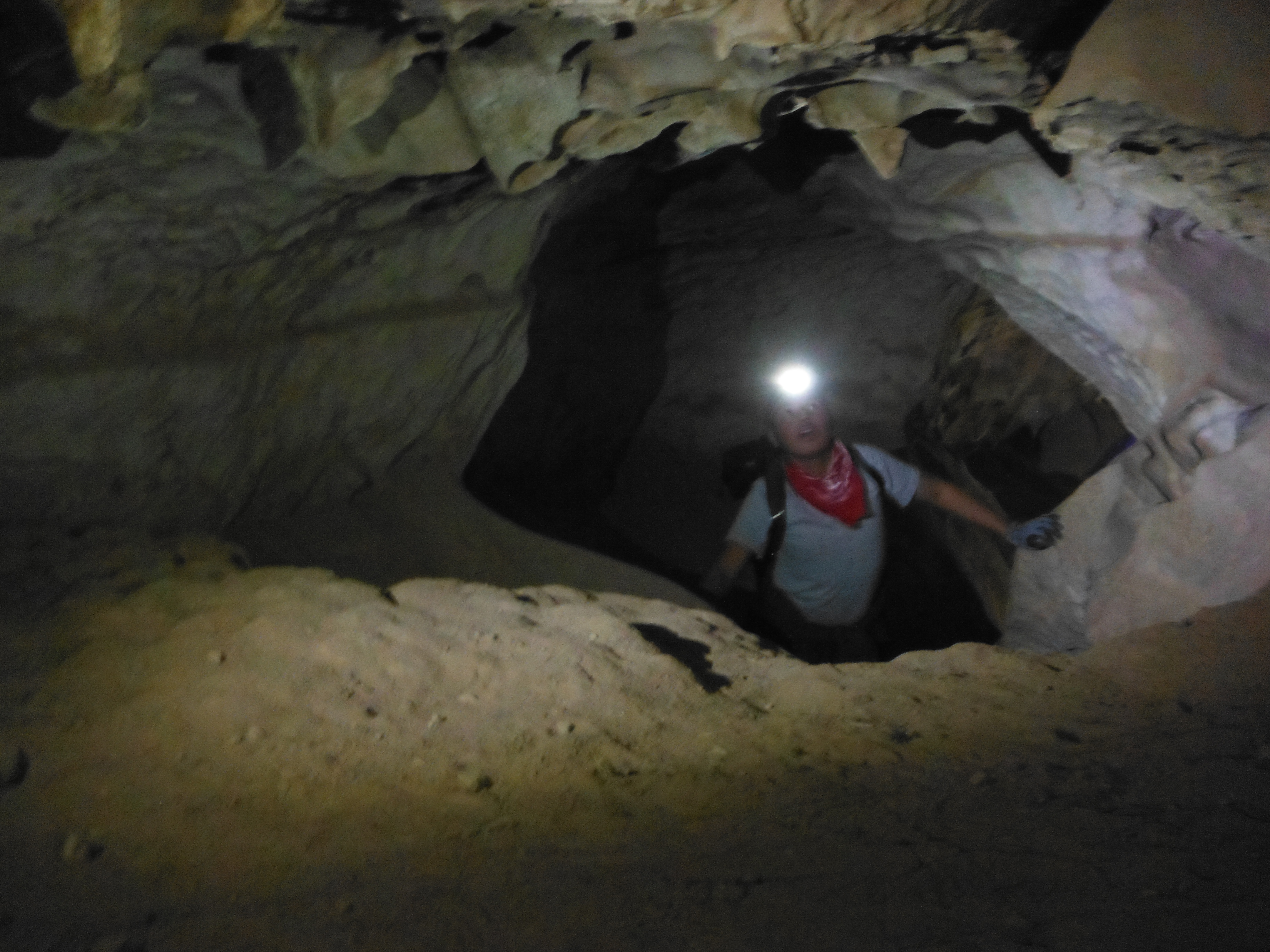
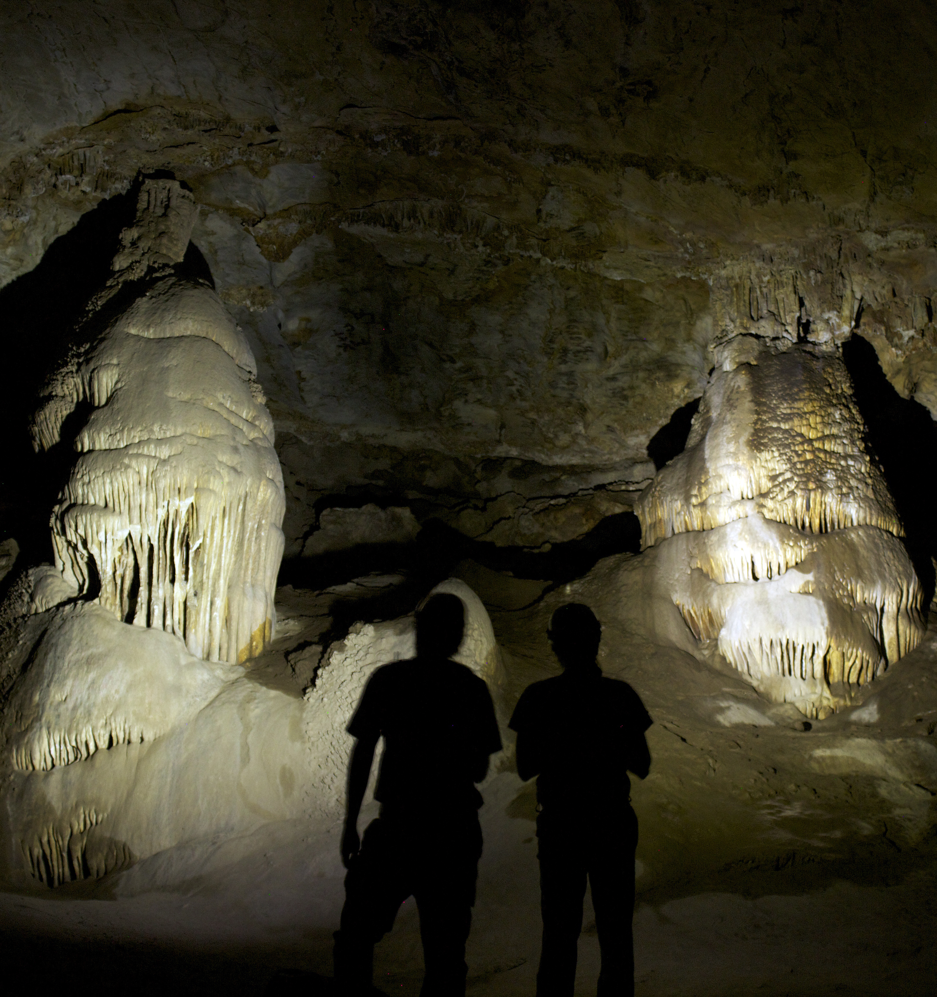
Visit Coronado Cave
Visit a wild cave within the Memorial. A great place to get out of the heat in the summer and…
Visitor Centers
Coronado National Memorial Visitor Center
The visitor center includes in-depth exhibits on the Coronado Expedition of 1540-1542, as well as thorough information about the natural history of the park. There…
Nearby National Park Service Sites
These sites are ordered by straight-line distance between NPS reference coordinates. This is useful for comparison, but it is not road mileage. Trails, parkways, rivers, and distributed units may extend far from their reference point.
Nearby Cities for Trip Planning
These cities are ordered by straight-line distance from the NPS reference coordinate. They are comparison starting points, not official park gateways or road-distance estimates. Trails and other distributed units may extend far beyond this reference point.
🗺️ Guided Tours & Experiences
Discover Coronado National Memorial with expert-led tours
We earn a commission if you make a purchase, at no additional cost to you.
🏨 Search Lodging for Coronado National Memorial
Review lodging results matching this park or site name
We earn a commission if you make a purchase, at no additional cost to you.