
About Devils Postpile National Monument
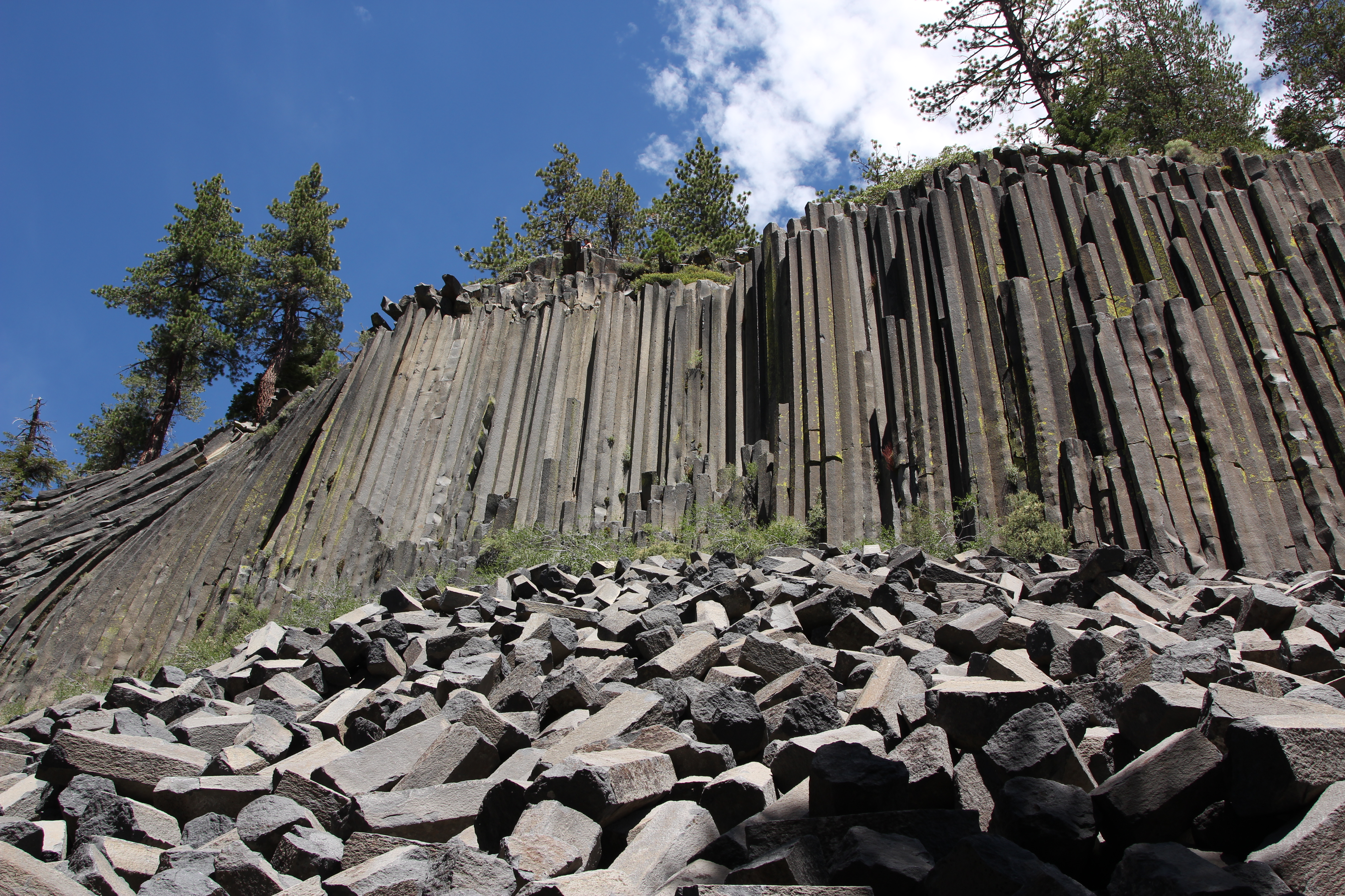
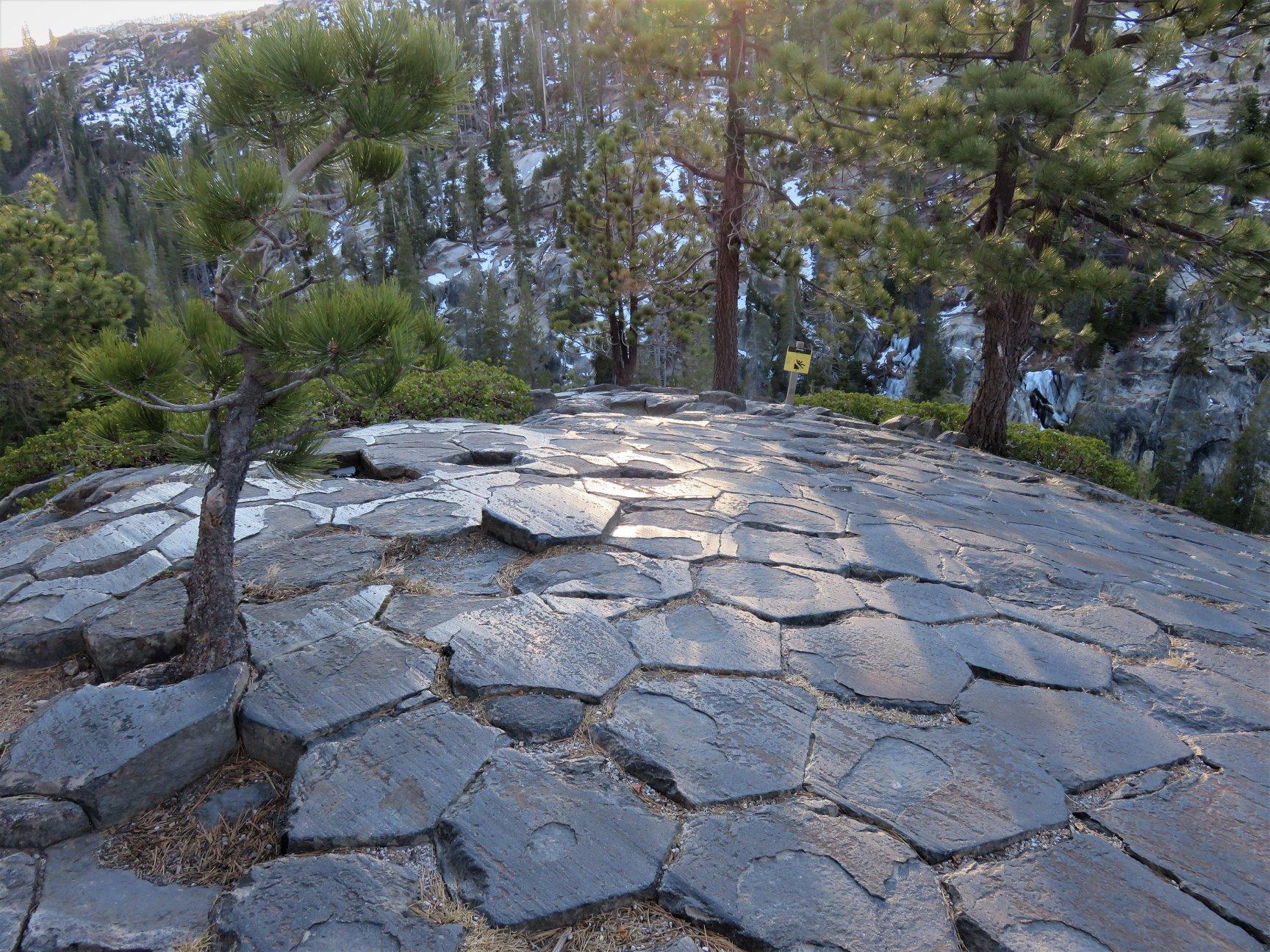
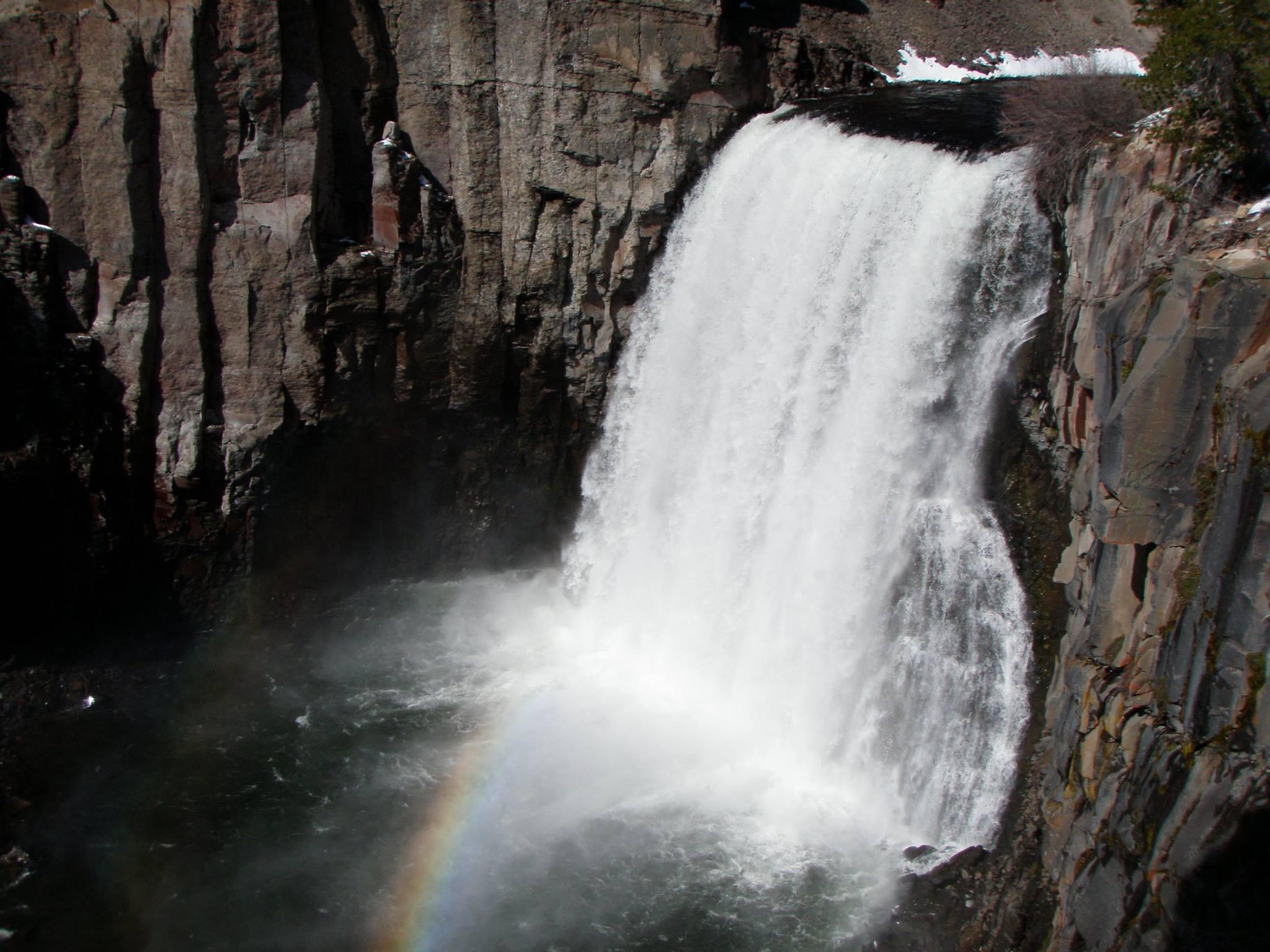
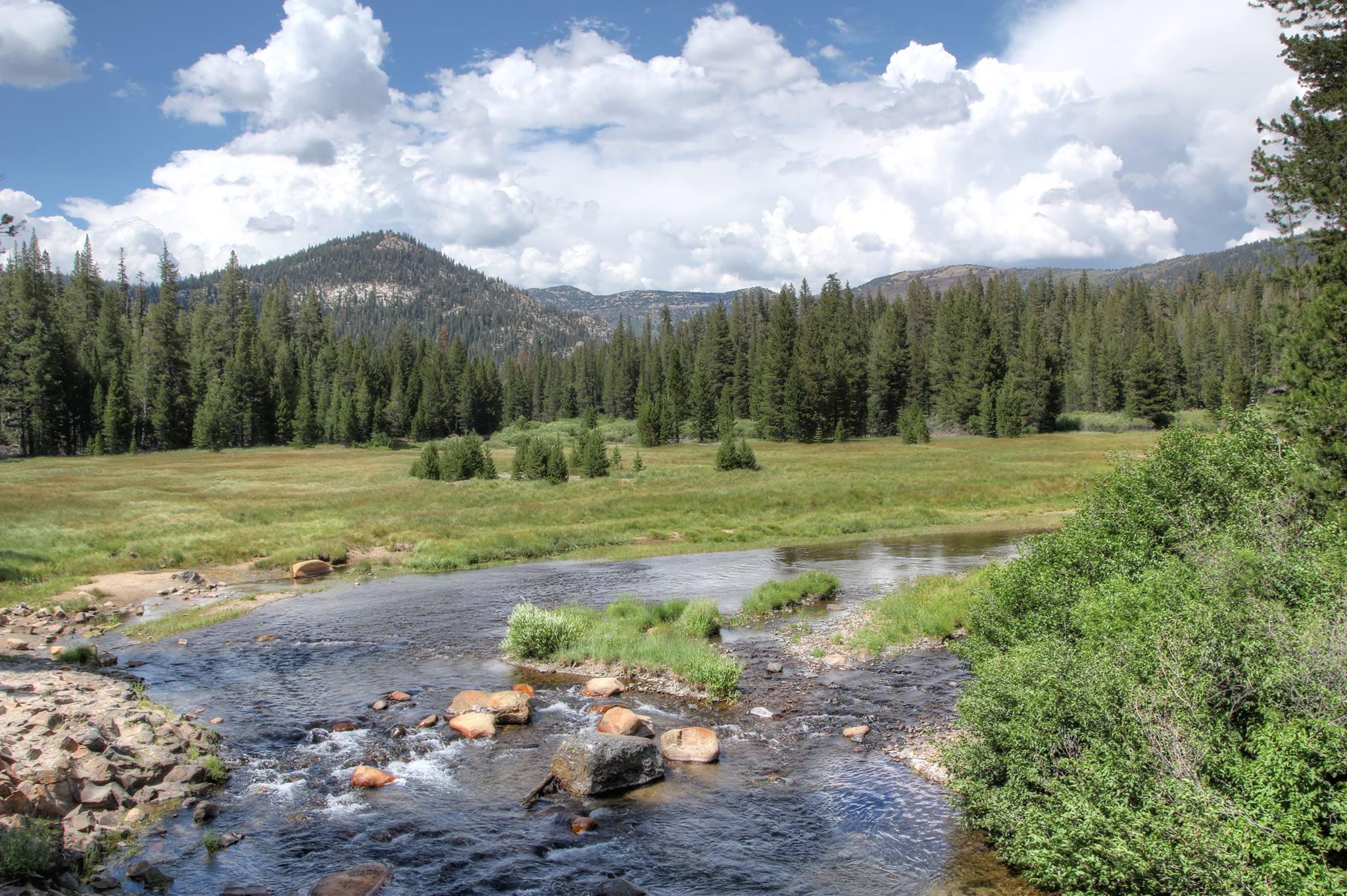
Established in 1911 by presidential proclamation, Devils Postpile National Monument protects and preserves the Devils Postpile formation, the 101-foot high Rainbow Falls, and pristine mountain scenery. The formation is a rare sight in the geologic world and ranks as one of the world's finest examples of columnar basalt. Its' columns tower up to 60 feet and display a striking symmetry.
Plan a Visit
Core visitor information on this page is sourced from the National Park Service. NPD proximity sections use NPS reference coordinates and straight-line distance. Local source bundle updated Sep 27, 2026. View the official NPS page.
Weather & Conditions
Devils Postpile National Monument is located at 7,560 feet above sea level just west of the Sierra Nevada crest. As such, it experiences typical summer weather in the Sierras. Afternoon thunderstorms are possible in July and August. Daytime temperatures can range from the mid-70s to to mid-80s (degrees Fahrenheit). Evening…
NPS Reference Location
Park state / territory membership: California. This map uses the National Park Service reference coordinate. It may represent an administrative or reference point rather than a park entrance, trailhead, visitor center, or the nearest access point. Use the official NPS directions below when planning travel.
Operating Hours
In the operating season, Devils Postpile National Monument is open 24 hours a day, 7 days a week. The Monument usually opens in mid-June. By mid to late October, early winter storms in the High Sierra typically begin to bring snow to the area.
Activities
Current Alerts
Reds Meadow Road remains under construction in 2026 and will be closed Monday through Friday through November 1 (closed for the season starting November 2).
Getting There
Shuttle Bus: Most visitors must park at the Mammoth Mountain Ski Area and use the mandatory shuttle. The shuttle bus operates from mid-June through the Wednesday after Labor Day. By car: From U.S. Highway 395, drive 10 miles west on S.R. 203 to Minaret Vista and then another 8 miles on a paved, steep mountain road. Please note that this road is single lane for approximately 3 miles. By plane: The closest commercial airport is the Mammoth Lakes/Yosemite Airport (MMH), located on U.S. Highway 395.
View Official DirectionsContact & Address
The NPS-listed address may be an administrative office, visitor center, mailing/contact location, or other park facility rather than a park entrance.
Topics & Themes
Visitor Centers
Devils Postpile Ranger Station
The Devils Postpile Ranger Station is open daily from 9 am - 5 pm during the operating season which is typically mid-June to mid-October. Rangers…
Nearby National Park Service Sites
These sites are ordered by straight-line distance between NPS reference coordinates. This is useful for comparison, but it is not road mileage. Trails, parkways, rivers, and distributed units may extend far from their reference point.
Nearby Cities for Trip Planning
These cities are ordered by straight-line distance from the NPS reference coordinate. They are comparison starting points, not official park gateways or road-distance estimates. Trails and other distributed units may extend far beyond this reference point.
🗺️ Guided Tours & Experiences
Discover Devils Postpile National Monument with expert-led tours
We earn a commission if you make a purchase, at no additional cost to you.
🏨 Search Lodging for Devils Postpile National Monument
Review lodging results matching this park or site name
We earn a commission if you make a purchase, at no additional cost to you.