


About Manzanar National Historic Site
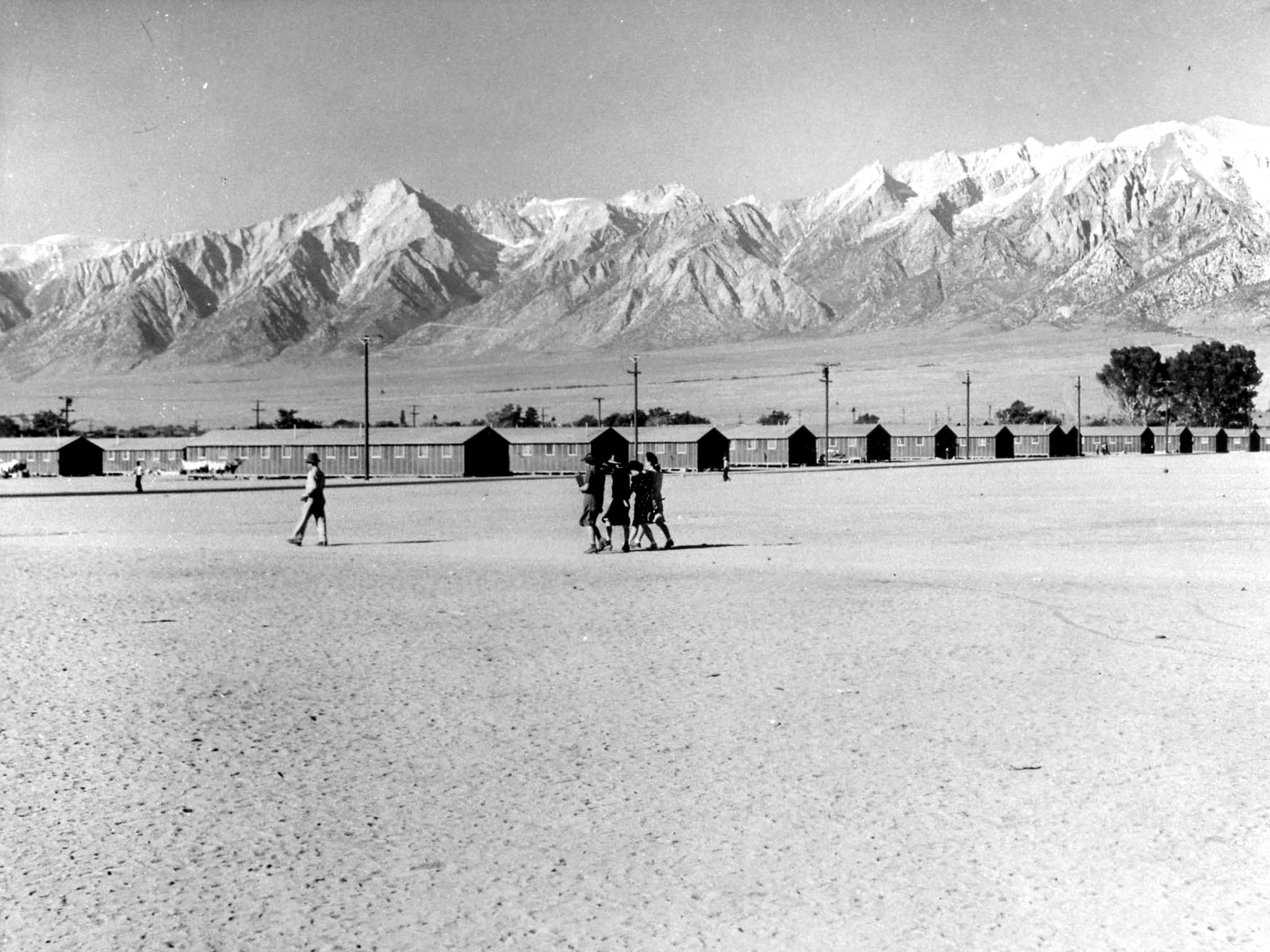
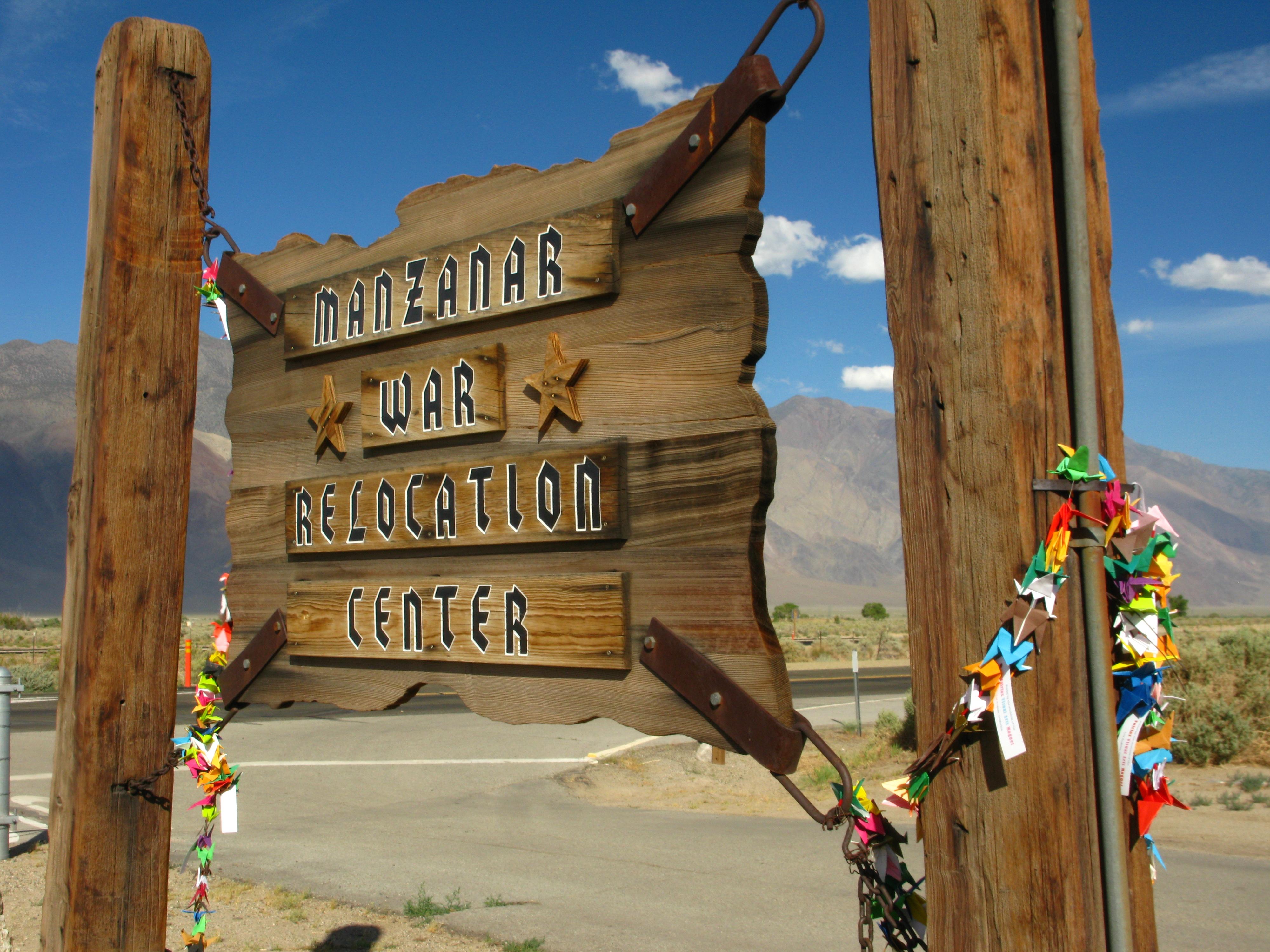
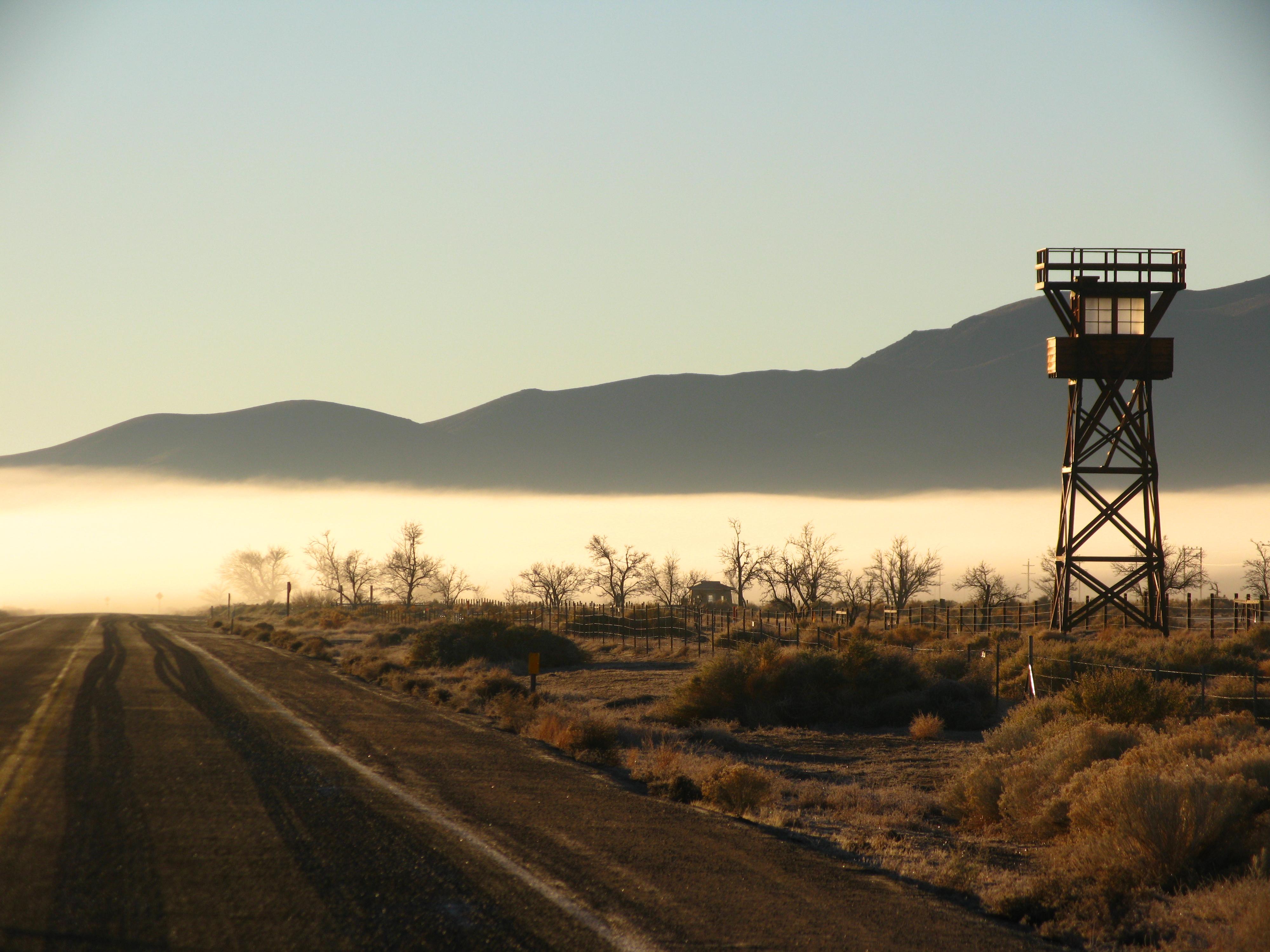
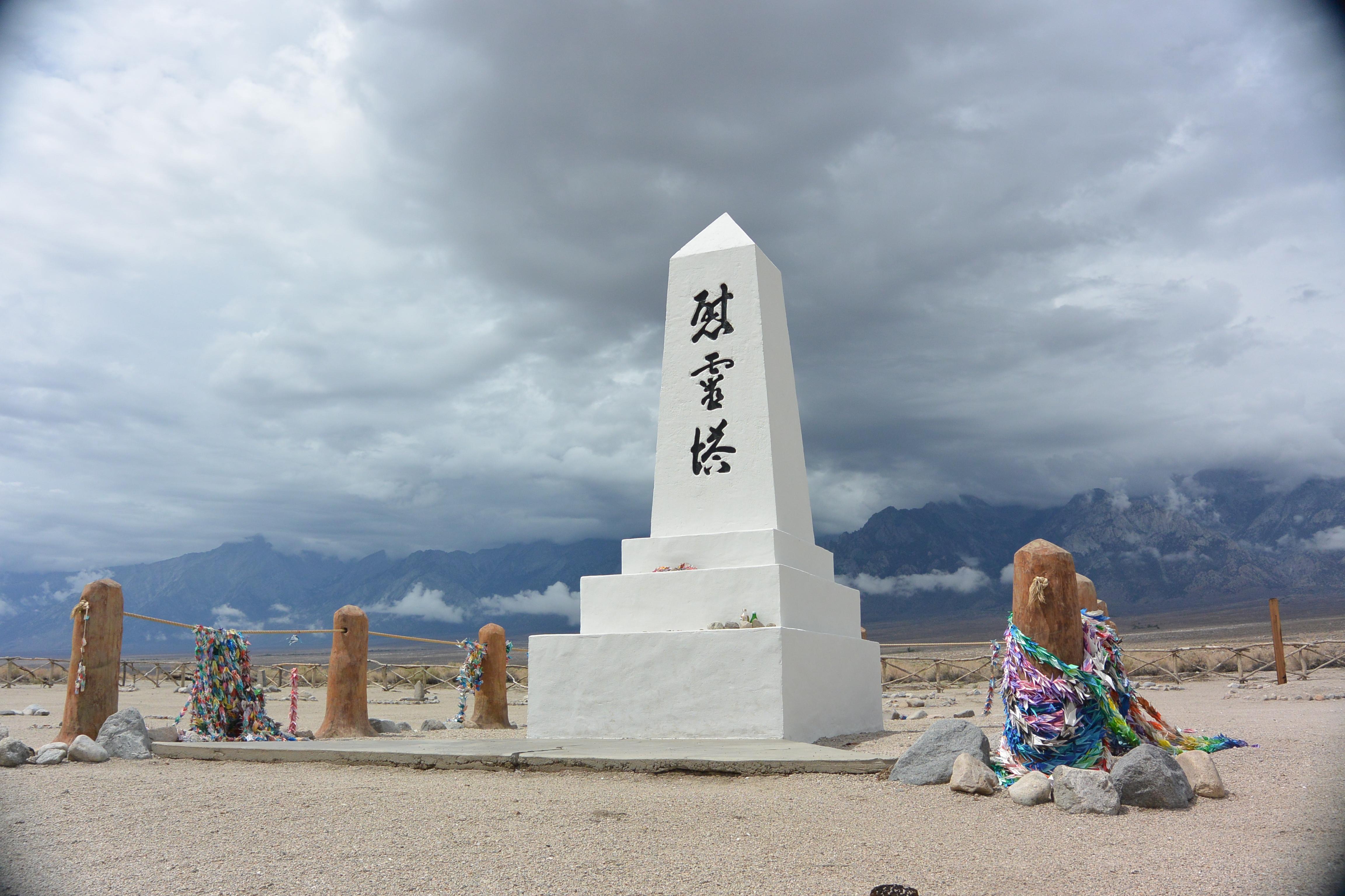
In 1942, the United States government ordered more than 110,000 men, women, and children to leave their homes and detained them in remote, military-style camps. Manzanar War Relocation Center was one of ten camps where the US government incarcerated Japanese immigrants ineligible for citizenship and Japanese American citizens during World War II.
Plan a Visit
Core visitor information on this page is sourced from the National Park Service. NPD proximity sections use NPS reference coordinates and straight-line distance. Local source bundle updated Sep 27, 2026. View the official NPS page.
Weather & Conditions
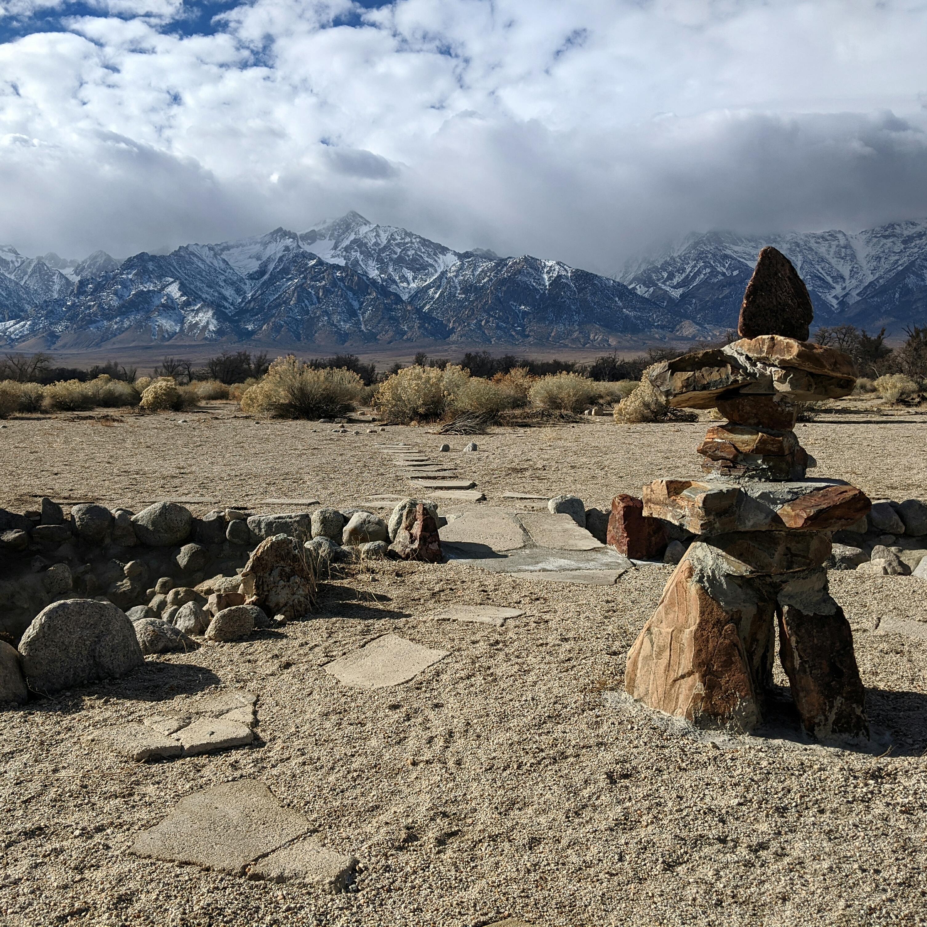
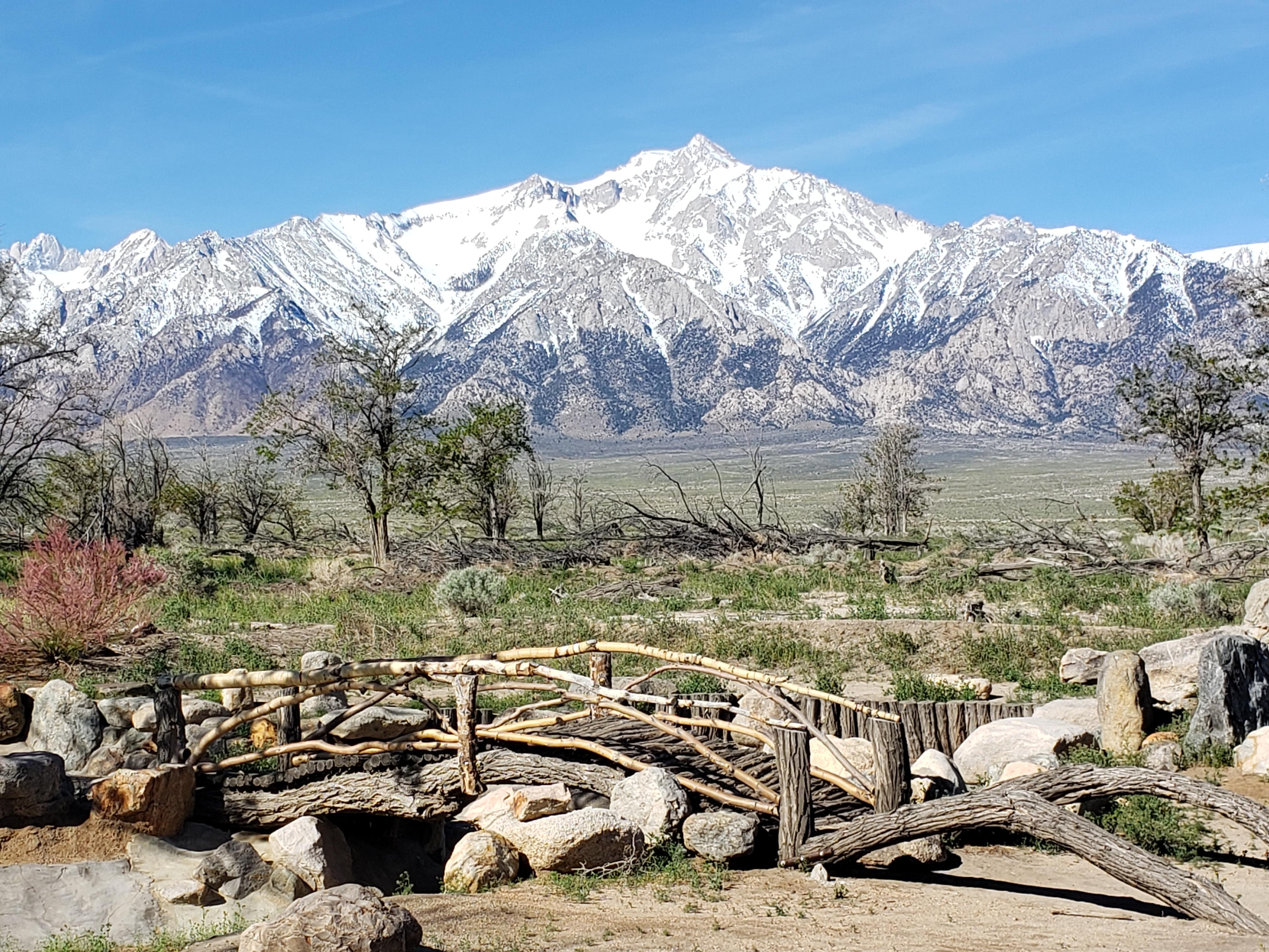
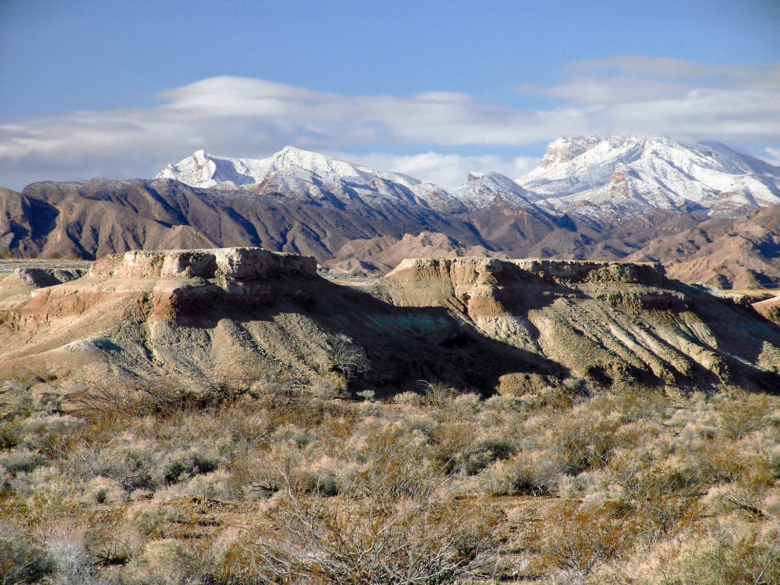
Manzanar is located in the Owens Valley at 4,000' elevation, at the eastern base of the Sierra Nevada. We get little precipitation but we do have four distinct seasons. Summer temperatures can soar over 100 degrees. Winter highs are usually in the 40's. Nighttime temperatures year round are 30 to…
NPS Reference Location
Park state / territory membership: California. This map uses the National Park Service reference coordinate. It may represent an administrative or reference point rather than a park entrance, trailhead, visitor center, or the nearest access point. Use the official NPS directions below when planning travel.
Operating Hours
The driving tour and grounds remain open daily from sunrise to sunset. Visitor center hours are more limited. See visitor center hours section for more information.
Activities
Current Alerts
CalTrans begins a monthslong pavement project on US 395 adjacent to Manzanar National Historic Site on Monday, May 11, 2026. Crews will be working to ensure access to Manzanar remains open, but it will be important to travel cautiously as typical access may involve detours and map apps may be inaccurate. Though work is scheduled only during weekdays, lane closures and detours will be in place throughout the week. Currently, the site may only be accessed via the south entrance.
Getting There
Manzanar is located on the west side of U.S. Highway 395, 9 miles north of Lone Pine, California and 6 miles south of Independence, CA.
View Official DirectionsContact & Address
The NPS-listed address may be an administrative office, visitor center, mailing/contact location, or other park facility rather than a park entrance.
Topics & Themes
Things To Do
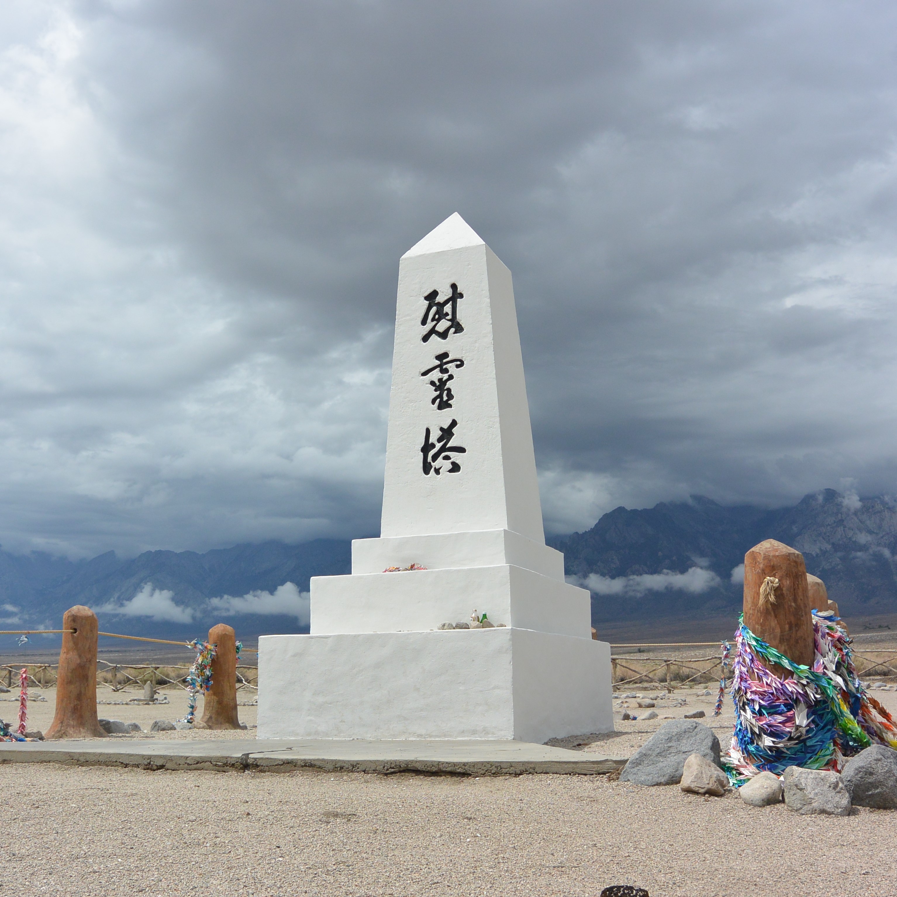
Driving, Biking, and Walking at Manzanar
The site is open during daylight hours, see it on foot or via the 3.2 mile driving tour road.

Become a Manzanar Junior Ranger
At home or at Manzanar, becoming a junior ranger is a great way to learn about the stories of Manzanar.

Explore Manzanar Block 14 Exhibits
Walk through one of the 36 Blocks of Manzanar to feel what life would have been like here during WWII.
Visitor Centers
Manzanar Visitor Center
The Manzanar visitor center offers extensive exhibits, a 22-minute park film, a bookstore, a Junior Ranger program, and an information desk.
Block 14
Block 14 was one of 36 blocks used when Manzanar War Relocation Center was in operation. The NPS has reconstructed 2 barracks, a latrine, and…
Nearby National Park Service Sites
These sites are ordered by straight-line distance between NPS reference coordinates. This is useful for comparison, but it is not road mileage. Trails, parkways, rivers, and distributed units may extend far from their reference point.
Nearby Cities for Trip Planning
These cities are ordered by straight-line distance from the NPS reference coordinate. They are comparison starting points, not official park gateways or road-distance estimates. Trails and other distributed units may extend far beyond this reference point.
🗺️ Guided Tours & Experiences
Discover Manzanar National Historic Site with expert-led tours
We earn a commission if you make a purchase, at no additional cost to you.
🏨 Search Lodging for Manzanar National Historic Site
Review lodging results matching this park or site name
We earn a commission if you make a purchase, at no additional cost to you.