

About Juan Bautista de Anza National Historic Trail
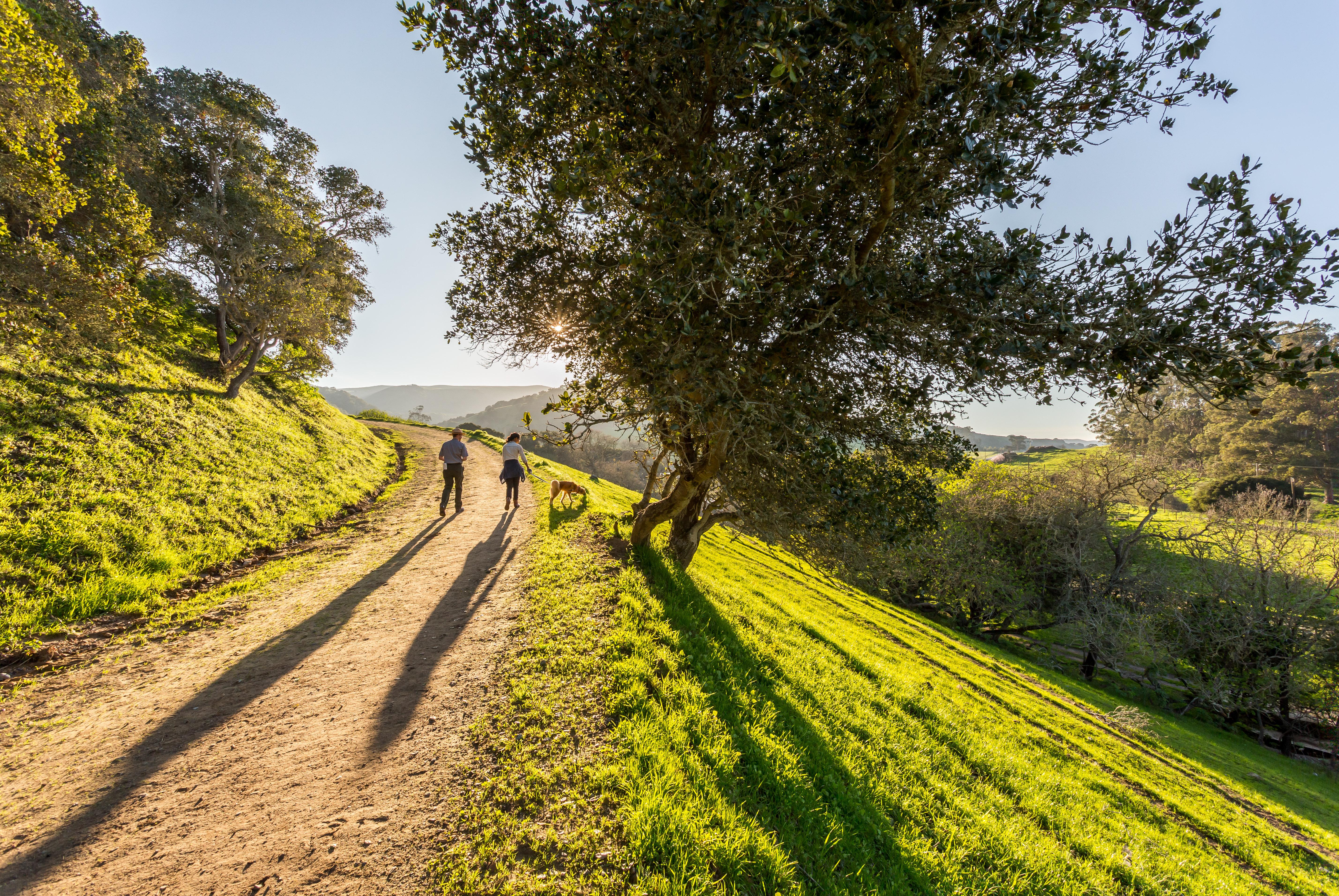
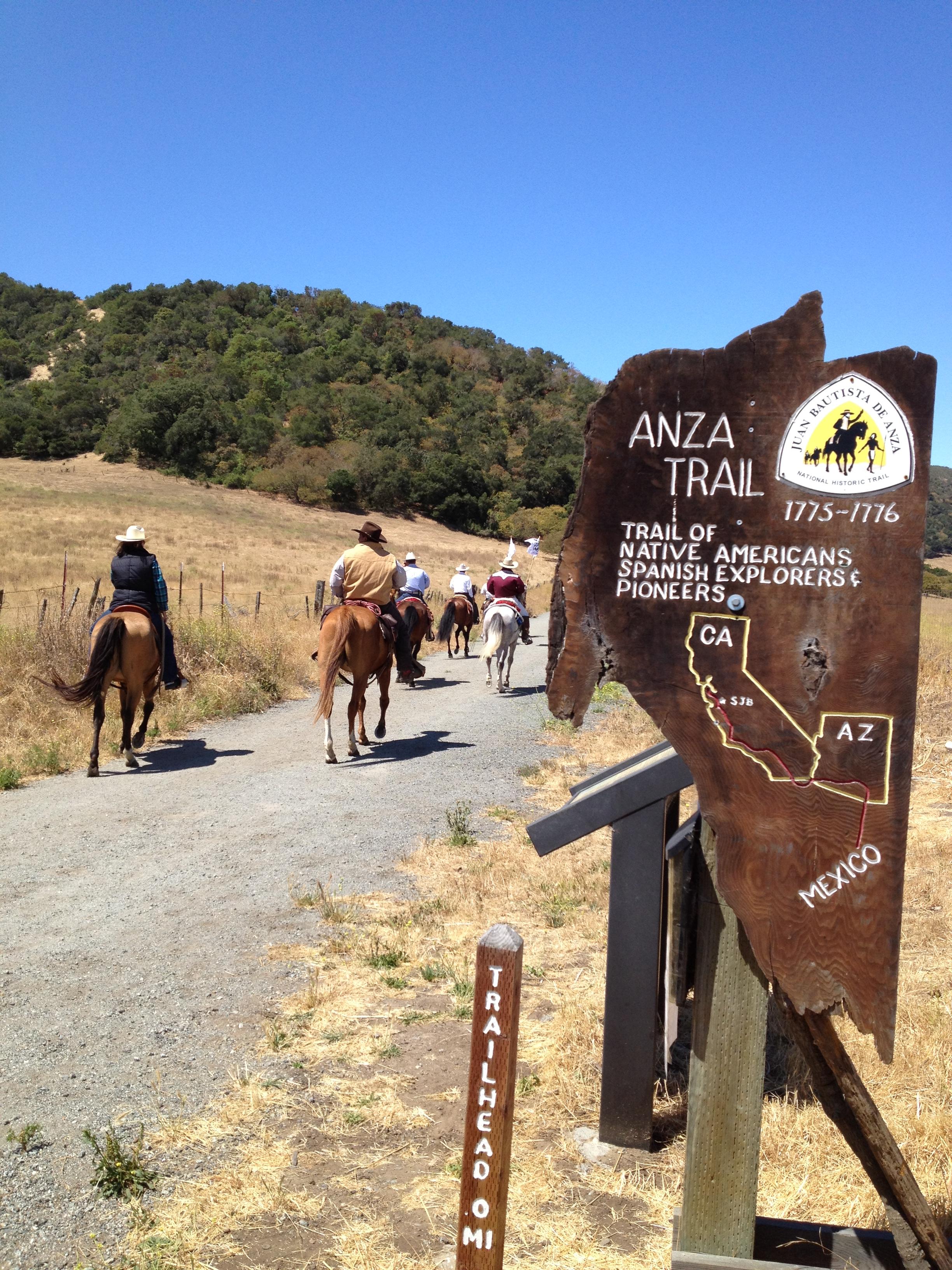
The Juan Bautista de Anza National Historic Trail covers over 1200 miles through the homelands of 70+ Tribal communities. It follows the historic route of the 1775-76 Spanish colonizing expedition from Sonora, Mexico to San Francisco, CA. Whether urban or rural, the trail offers adventure, diverse cultural perspectives, and an opportunity to experience history.
Plan a Visit
Core visitor information on this page is sourced from the National Park Service. NPD proximity sections use NPS reference coordinates and straight-line distance. Local source bundle updated Sep 27, 2026. View the official NPS page.
Weather & Conditions
The 1,200-mile Anza Trail connects historic, cultural, and recreation sites from Nogales, AZ, to the San Francisco Bay Area. To learn more, visit http://www.nps.gov/juba. Each site along the Anza Trail is managed independently. Contact individual sites for hours, directions, and other details.
NPS Reference Location
Park state / territory membership: Arizona, California. This map uses the National Park Service reference coordinate. It may represent an administrative or reference point rather than a park entrance, trailhead, visitor center, or the nearest access point. Use the official NPS directions below when planning travel.
Operating Hours
Hours listed are for the Richmond, California administrative office of the Anza Trail (admin office not currently open to public). The 1,200-mile Anza Trail connects historic, cultural, and recreation sites from Nogales, AZ, to the San Francisco Bay Area that reveal the legacy of our Spanish colonial heritage. To learn more, visit http://www.nps.gov/juba. Each site along the Anza Trail is managed independently. Contact individual sites for hours, directions, and other details.
Activities
Getting There
Details listed are for the Richmond, California administrative office of the Anza Trail (administrative office is not currently open to the public). The 1,210-mile Anza Trail connects historic, cultural, and recreation sites from Nogales, AZ, to the San Francisco Bay Area that reveal the legacy of our Spanish colonial heritage. Each site along the Anza Trail is managed independently. Contact individual sites for hours, directions, and other details.
View Official DirectionsContact & Address
The NPS-listed address may be an administrative office, visitor center, mailing/contact location, or other park facility rather than a park entrance.
Topics & Themes
Things To Do
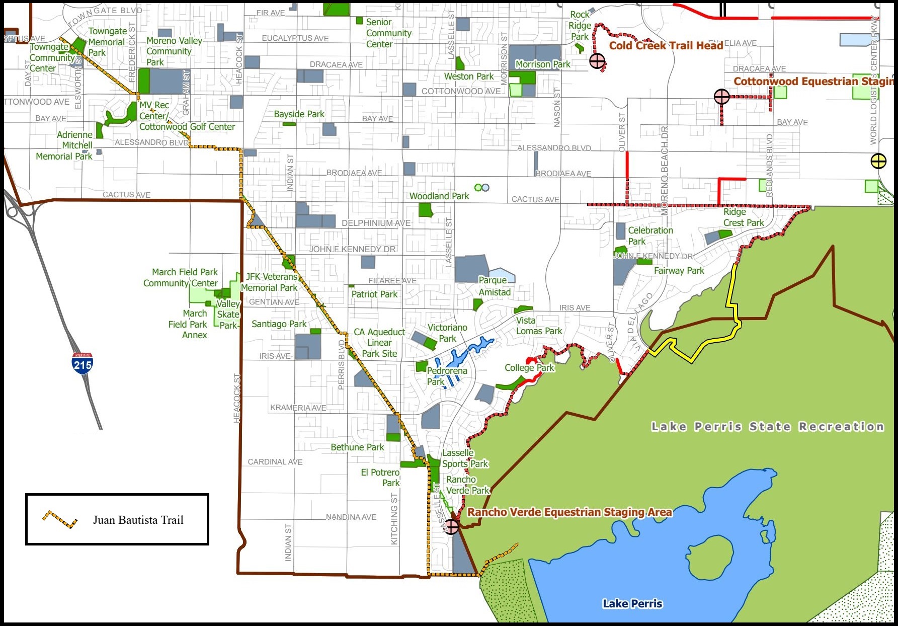
Hike the Anza Trail through Moreno Valley
Enjoy an easy 8-mile out-and-back urban trail through Moreno Valley. This multi-use paved path starts at a city park and…
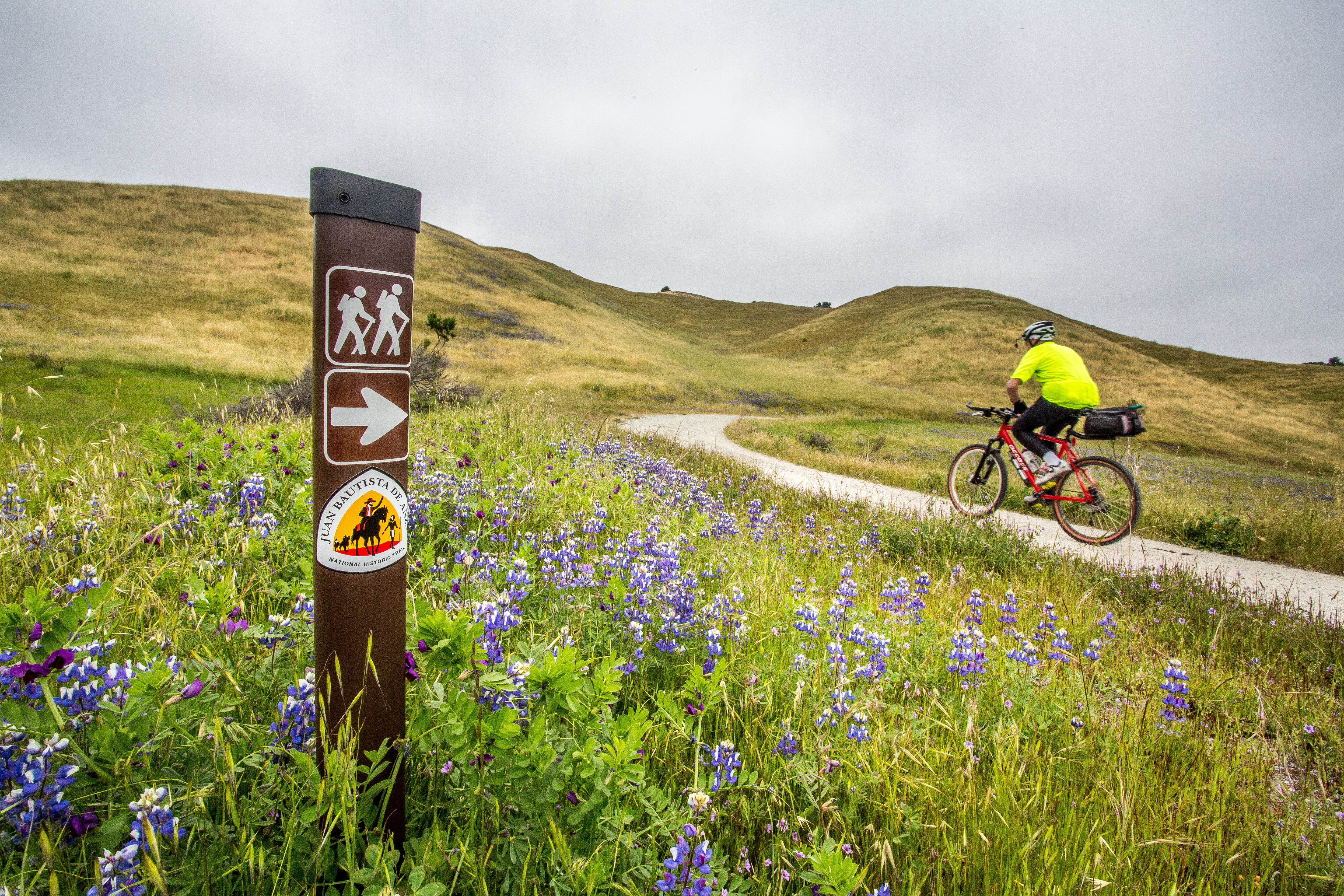
Hike, cycle, or ride through Fort Ord National Monument
Hike or ride a strenuous 4.5-mile segment that crosses the majestic grasslands of Fort Ord National Monument. The Monument segment…
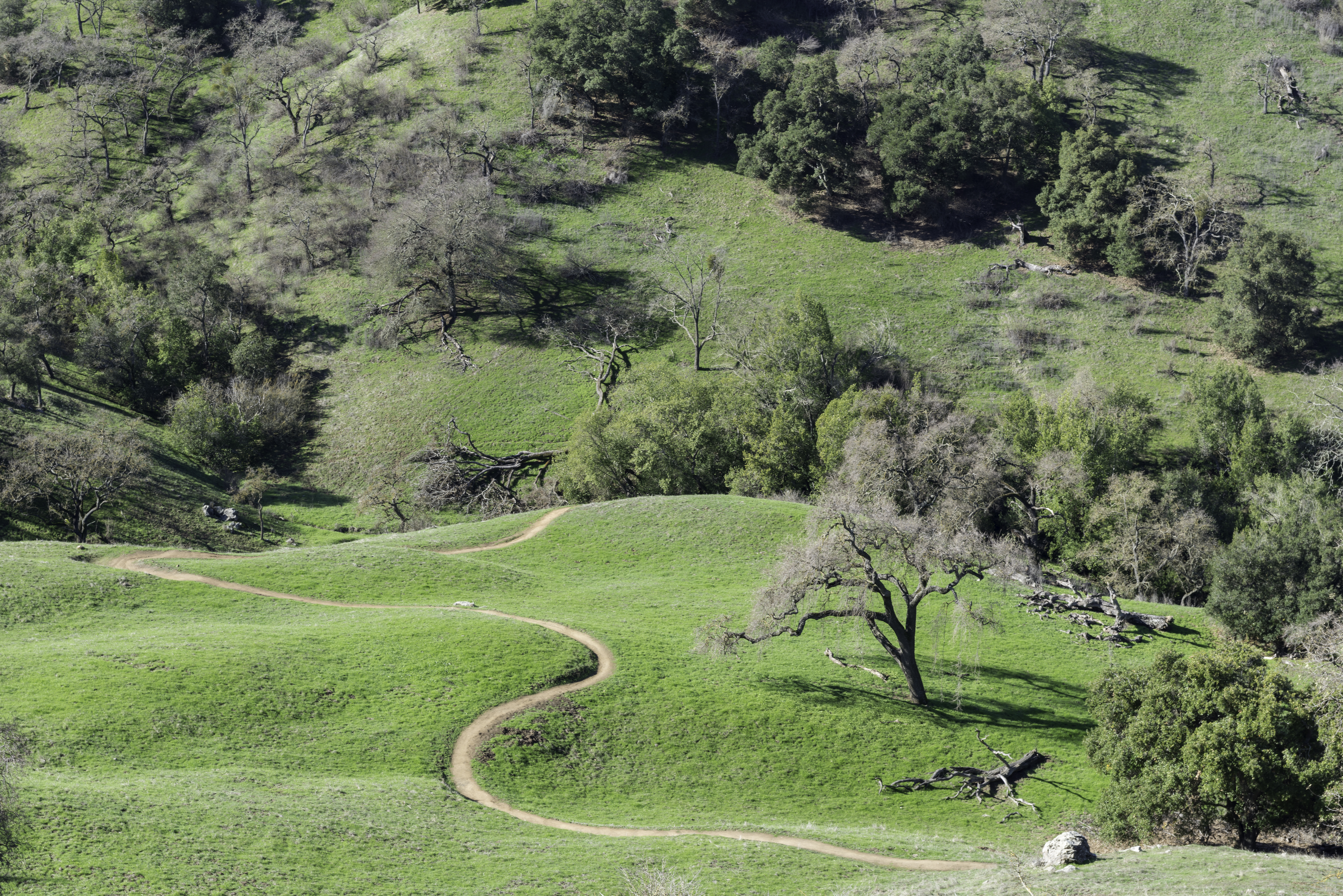
Hike the Arrowhead Loop Trail
Explore part of the Anza Recreational Retracement Trail by hiking this challenging 4-mile one-way loop through Coyote Valley Open Space…
Hike the Delta de Anza/Mokelumne Loop
Enjoy a moderate 5.62-mile loop by taking the Mokelumne Coast-to-Crest Trail to the Delta de Anza Trail. This paved loop…
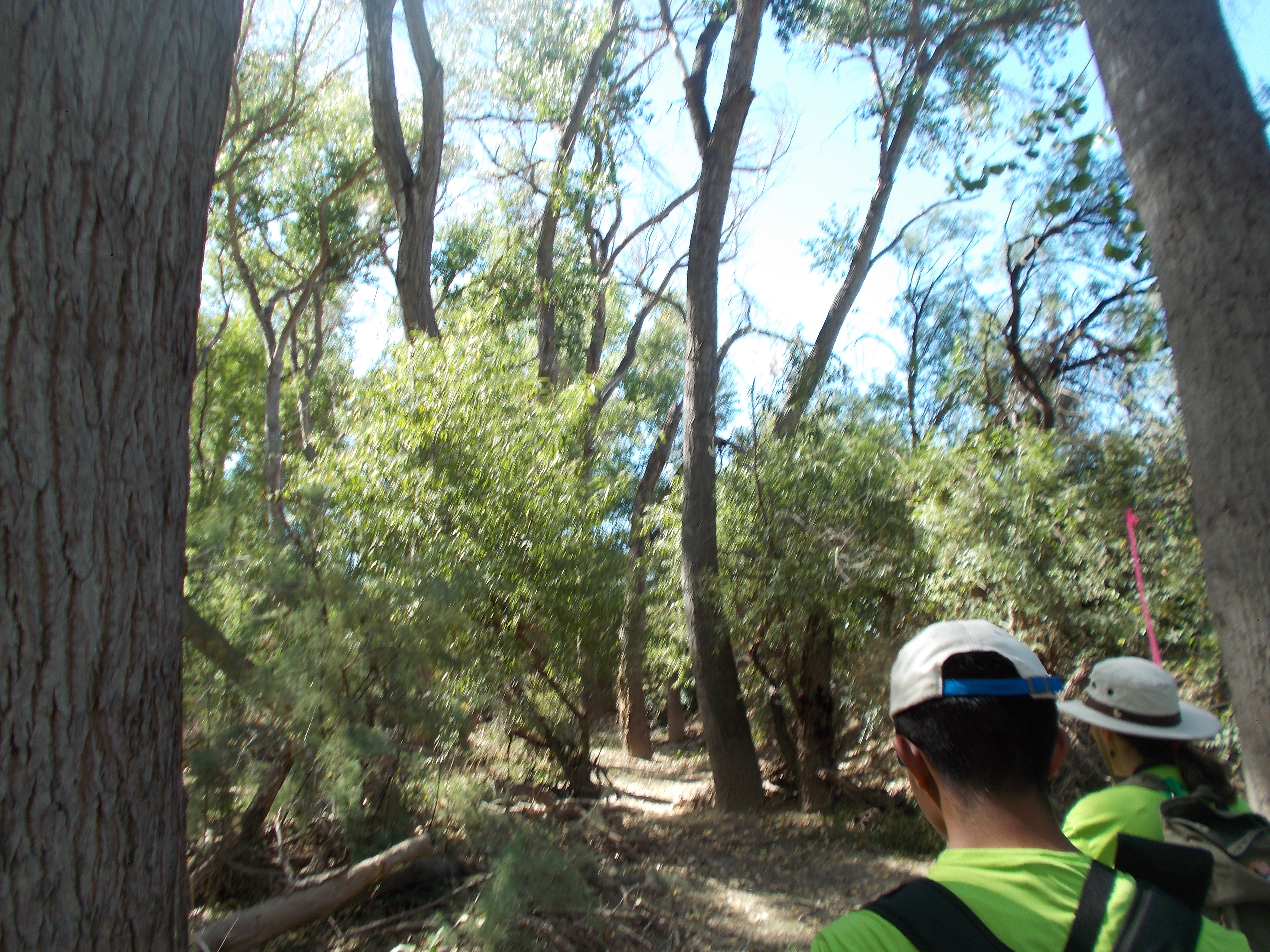
Hike the Santa Cruz River
The Santa Cruz River forms a ribbon of life in the Pimería Alta. Whether walking to its edge or along…
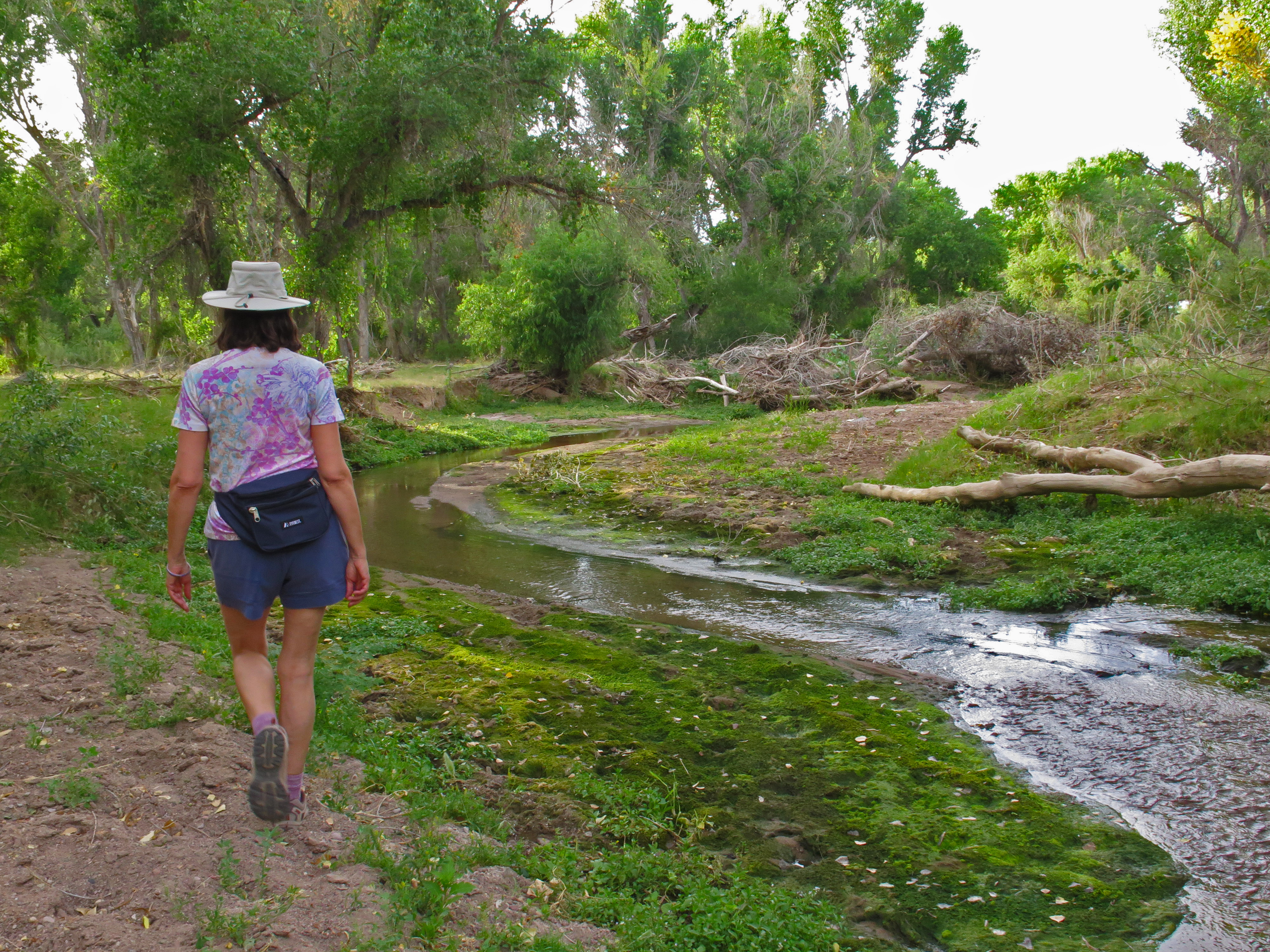
Hike the Anza Trail from Tumacácori to Tubac, AZ
Hike through shady cottonwood galleries and mesquite bosques along this six-mile stretch of the Anza Trail between Tumacácori National Historic…
More Things to Do
Additional activities and experiences from the National Park Service.
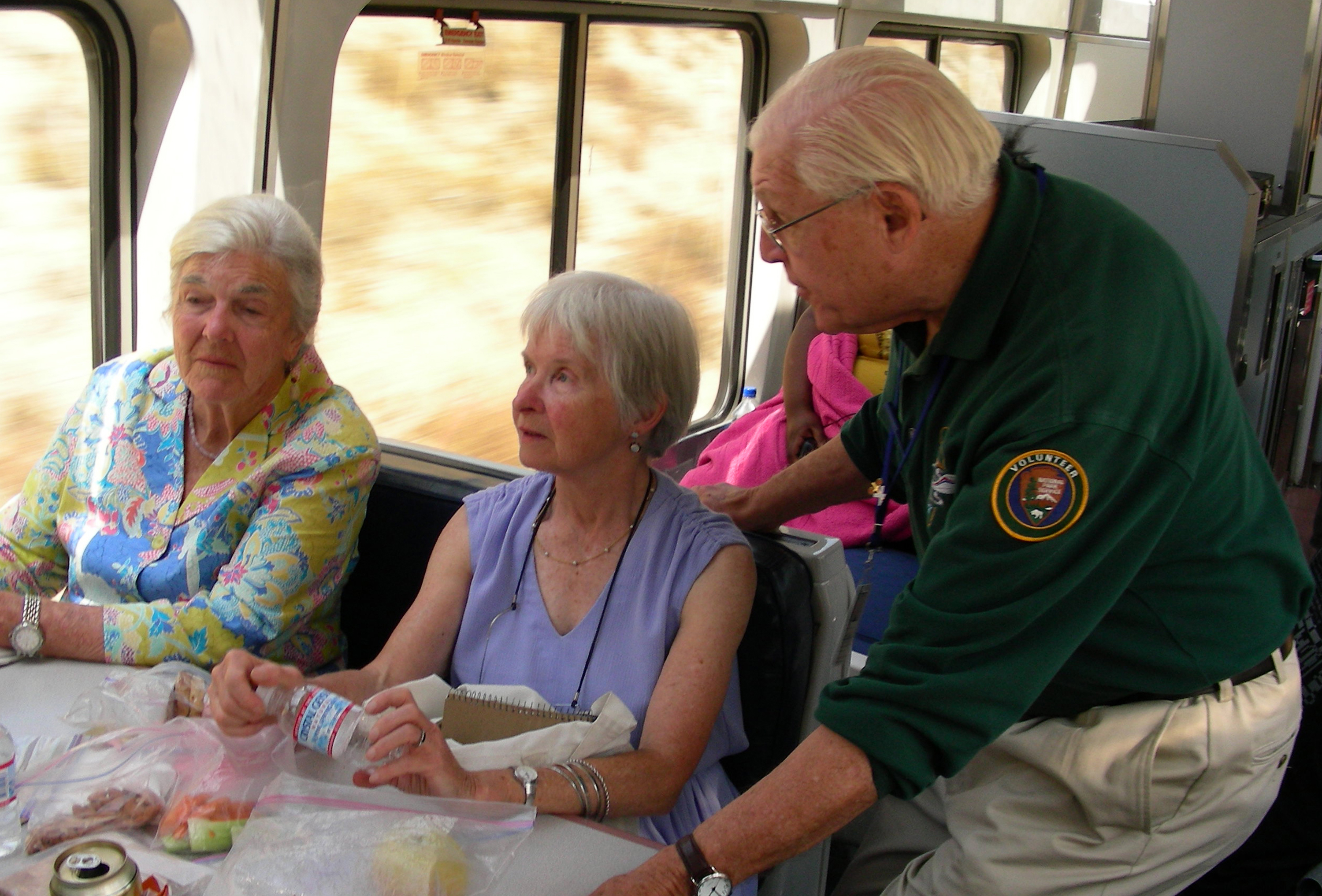
Experience the Anza Trail by Train
Experience the Anza Trail with NPS volunteer historians and interpreters on board Amtrak's Coast Starlight between Santa Barbara and San Jose.
Visitor Centers
Santa Monica Mountains Anthony C. Beilenson Interagency Visitor Center
The Santa Monica Mountains Interagency Visitor Center is located in what once was the ranch stables, which was part of King C. Gillette Ranch. The…
William Penn Mott, Jr. Presidio Visitor Center
The visitor center is the go-to place to find out what is happening and what there is to do in the Presidio. Discover the Presidio…
Anza-Borrego Desert State Park Visitor Center
The Visitor Center is located at the west end of Palm Canyon Dr. Approaching from the west on S-22, make a left at the stop…
Saguaro National Park West - The Red Hills Visitor Center
The Red Hills Visitor Center is a great place to learn about the park and start your visit to Saguaro National Park's West District. Views…
Saguaro National Park East - Rincon Mountain District Visitor Center
Saguaro National Park has two districts geographically separated by the city of Tucson. The Rincon Mountain District (RMD) is often referred to as Saguaro East,…
Gila Bend Visitor Center
An affiliated Arizona Office of Tourism Visitor Center, travelers can expect to find information about any of the four regions of our amazing State, as…
Griffith Park Visitor Center
Griffith Park Visitor Center, 4730 Crystal Springs Drive, Los Angeles, CA, 90027. Stop by the Visitor Center for information regarding Griffith Park activities, attractions, and…
Big Break Visitor Center at the Delta
The Visitor Center is accessible from Big Break Road. It includes hands-on and informational displays about the Delta. The center is staffed by Naturalists and…
Nearby National Park Service Sites
These sites are ordered by straight-line distance between NPS reference coordinates. This is useful for comparison, but it is not road mileage. Trails, parkways, rivers, and distributed units may extend far from their reference point.

Nearby Cities for Trip Planning
These cities are ordered by straight-line distance from the NPS reference coordinate. They are comparison starting points, not official park gateways or road-distance estimates. Trails and other distributed units may extend far beyond this reference point.