
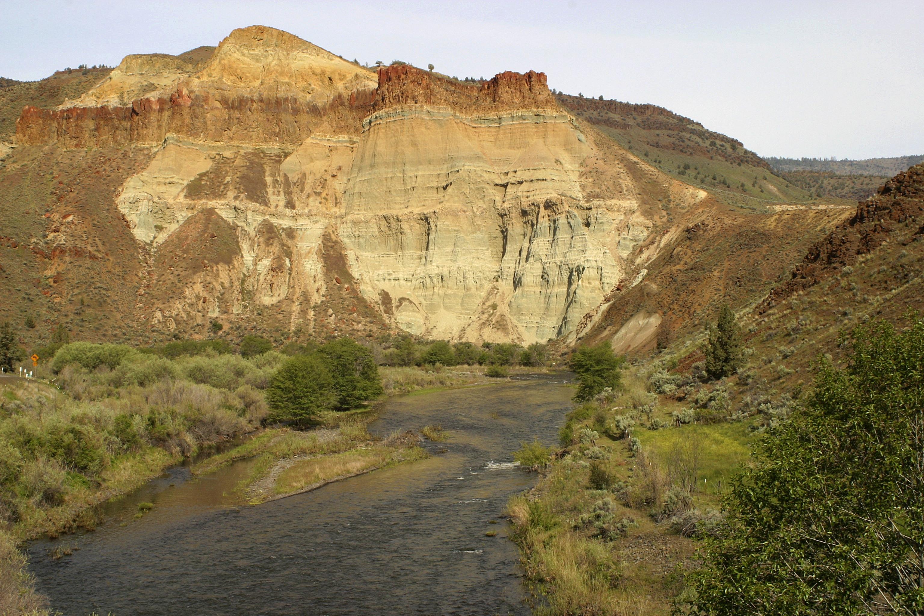
About John Day Fossil Beds National Monument
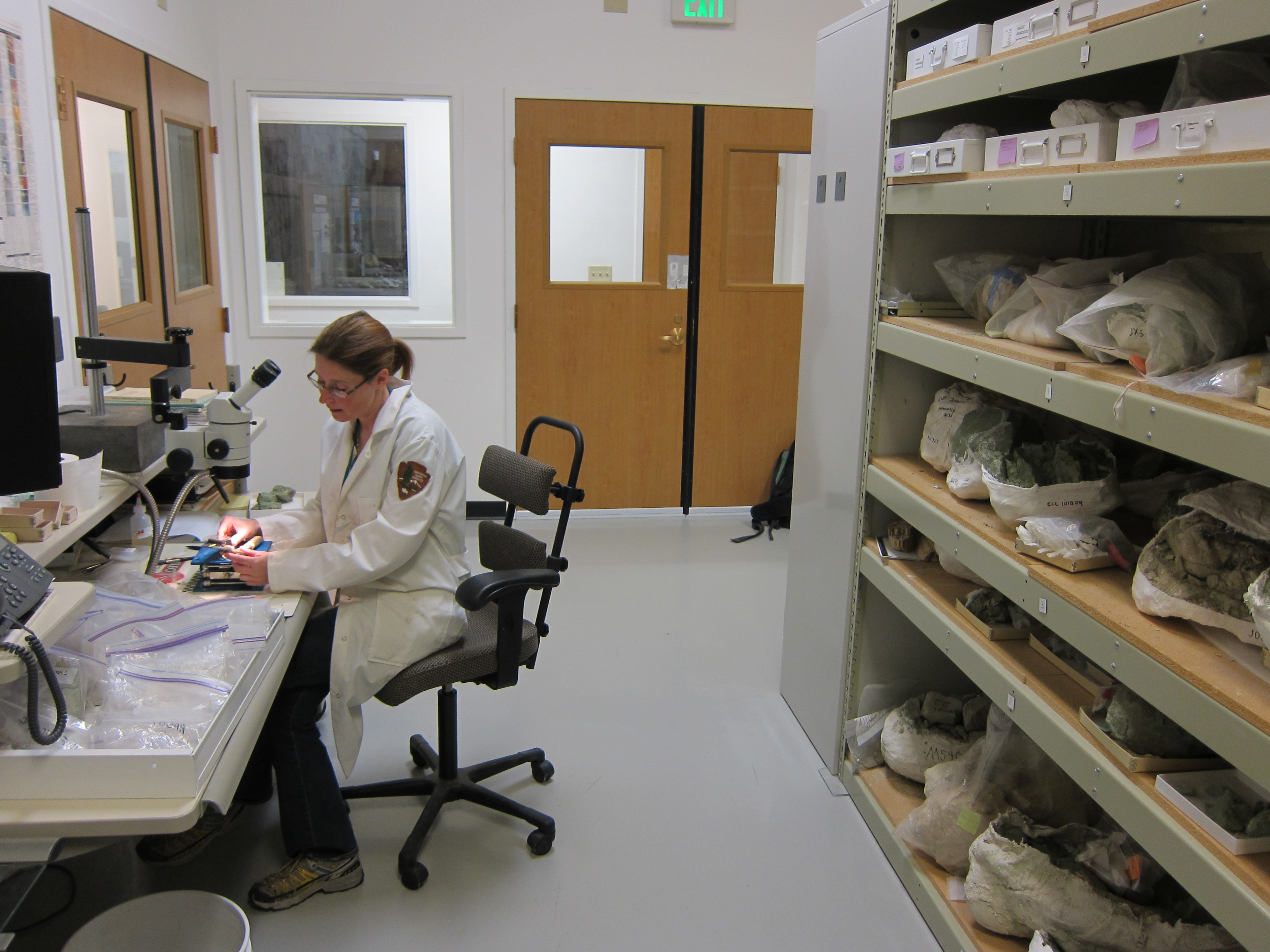
Large rhino-like brontotheres roam a semitropical forest. Dog-sized, three-toed horses dart between the trees. The cat-like nimravid and bear dogs stalk their prey. The climate cools and forests alter to dryer grasslands. Saber tooth cats and camels get replaced by mountain lions and deer. Paleontologists learn more about the ancient animals and environment with every new fossil they discover.
Plan a Visit
Core visitor information on this page is sourced from the National Park Service. NPD proximity sections use NPS reference coordinates and straight-line distance. Local source bundle updated Sep 27, 2026. View the official NPS page.
Weather & Conditions
Weather conditions at John Day Fossil Beds National Monument are highly variable in this semi-arid desert landscape. Summer highs can climb into the 110's. Winters tend to be fairly mild, with occassional snow and ice and lows occasionally dipping into the single digits.
NPS Reference Location
Park state / territory membership: Oregon. This map uses the National Park Service reference coordinate. It may represent an administrative or reference point rather than a park entrance, trailhead, visitor center, or the nearest access point. Use the official NPS directions below when planning travel.
Operating Hours
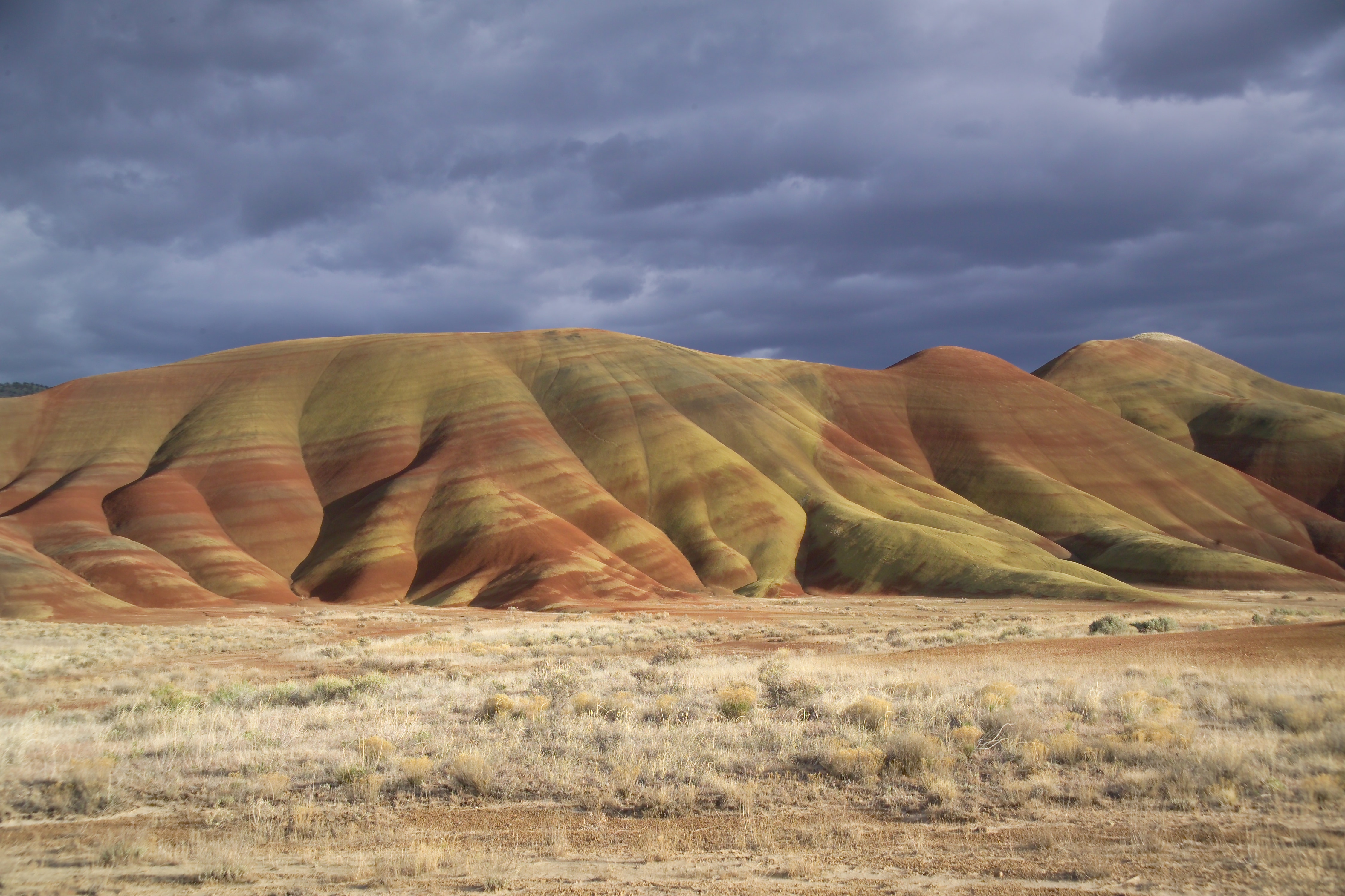
All outdoor recreation opportunities in the park are open daily, including all overlooks and hiking trails at the park’s three units: Sheep Rock, Painted Hills, and Clarno.
Activities
Current Alerts
There is currently no water available at the Clarno Unit of the park. Please plan accordingly and bring water when visiting.
Getting There
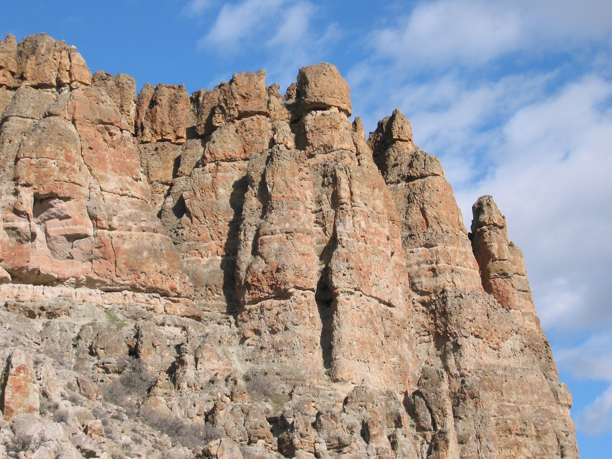
John Day Fossil Beds encompasses 14,000 acres in three geographically separated units in Oregon: Sheep Rock Unit, Painted Hills Unit, and Clarno Unit. The Sheep Rock Unit is located between the towns of Dayville and Kimberly. The Painted Hills Unit is located 9 miles northwest of of the town of Mitchell. The Clarno Unit is located on Highway 218 twenty miles west of the town of Fossil.
View Official DirectionsContact & Address
The NPS-listed address may be an administrative office, visitor center, mailing/contact location, or other park facility rather than a park entrance.
Topics & Themes
Things To Do

John Day Fossil Beds Junior Ranger Program
Become a John Day Fossil Beds Junior Ranger
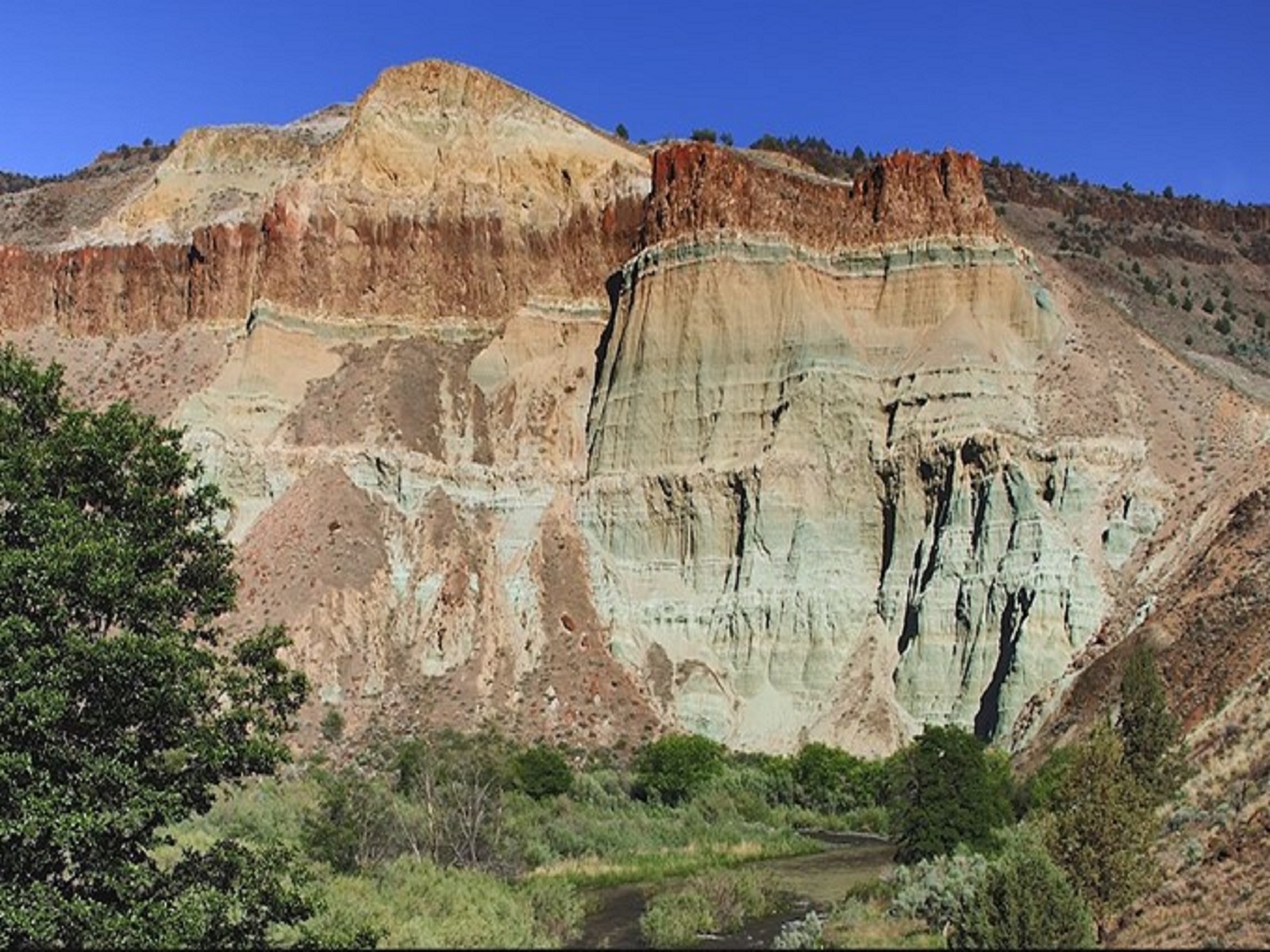
Layers of Life: Stories of Ancient Oregon
Layers of Life: Stories of Ancient Oregon

Fossil Gallery
Fossil gallery
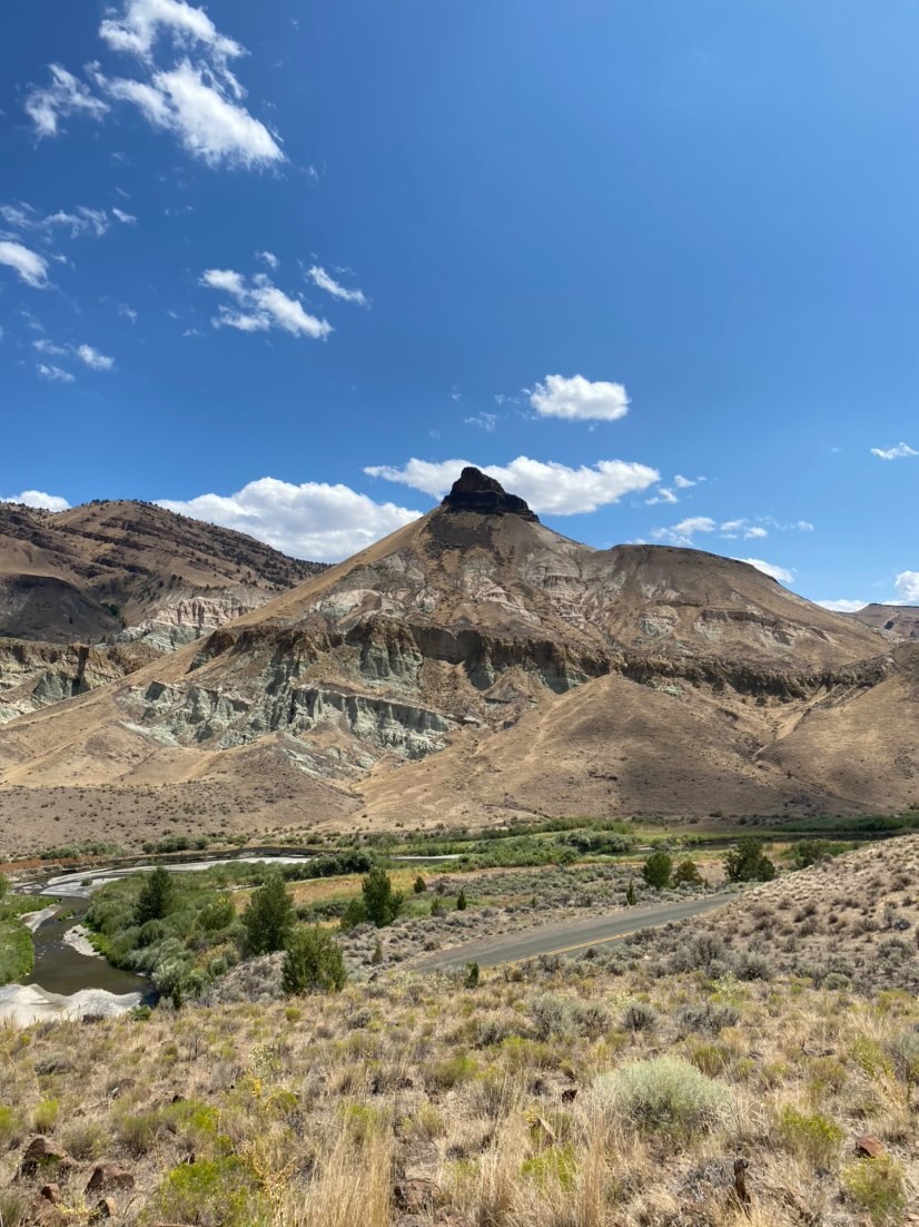
Thomas Condon Overlook Trail
This 0.25 mi (0.4 km) long trail starts at the far end of the Thomas Condon Visitor Center parking lot…
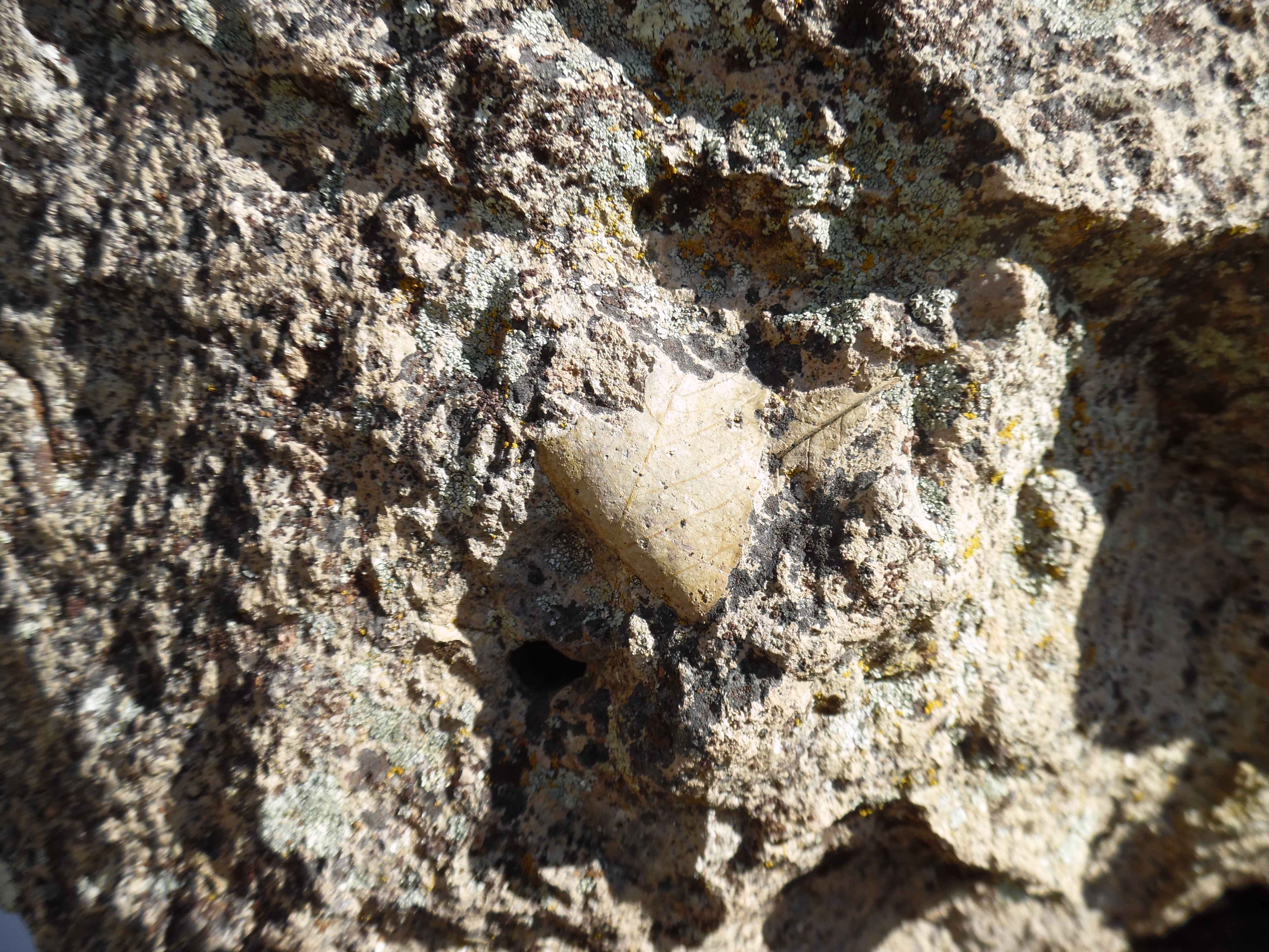
Trail of Fossils
The Trail of Fossils is 0.25 mi (0.4 km) long and is the best trail in the monument to see…
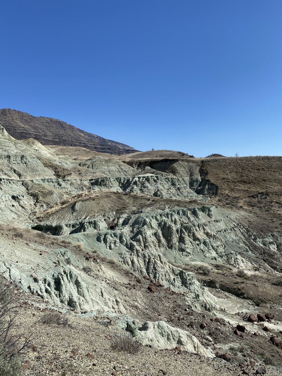
Story in Stone Trail
The mostly level Story in Stone Trail loops through dramatic pillars of blue-green claystone rocks that make up the Turtle…
More Things to Do
Additional activities and experiences from the National Park Service.
Sheep Rock Overlook Trail
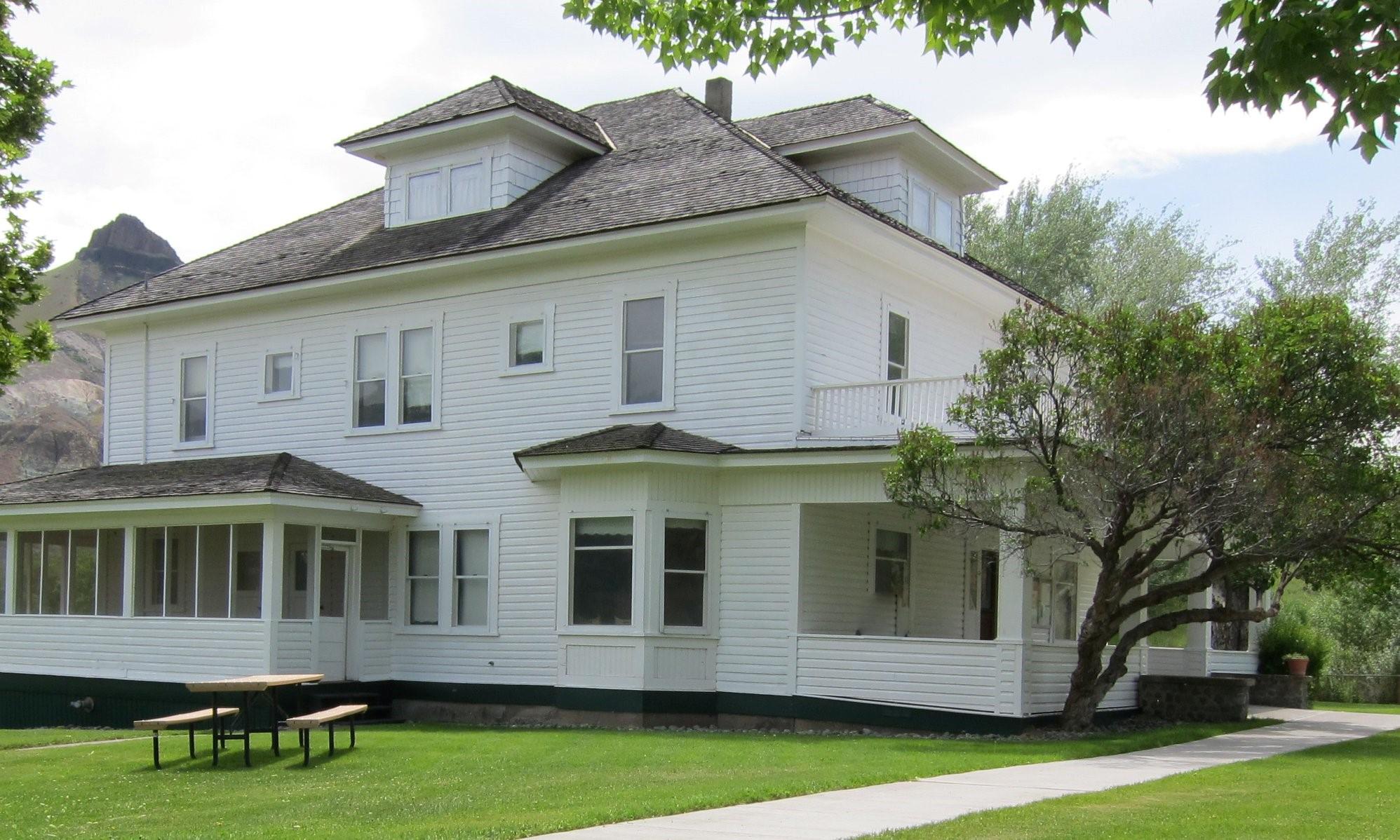
Starting at the front gate of the historic Cant home, this 0.5 mi (0.8 km) trail ends at an overlook with a…
River Trail
Starting at the Cant Ranch parking lot, this 0.6 mi (1 km) long trail passes through historic fields and alongside a historic…
Painted Cove Trail
The Painted Cove Trail is 0.25 mi (0.4 km) roundtrip. The Painted Cove is an amazing color palette of vibrant rocks. A…