
About Chiricahua National Monument
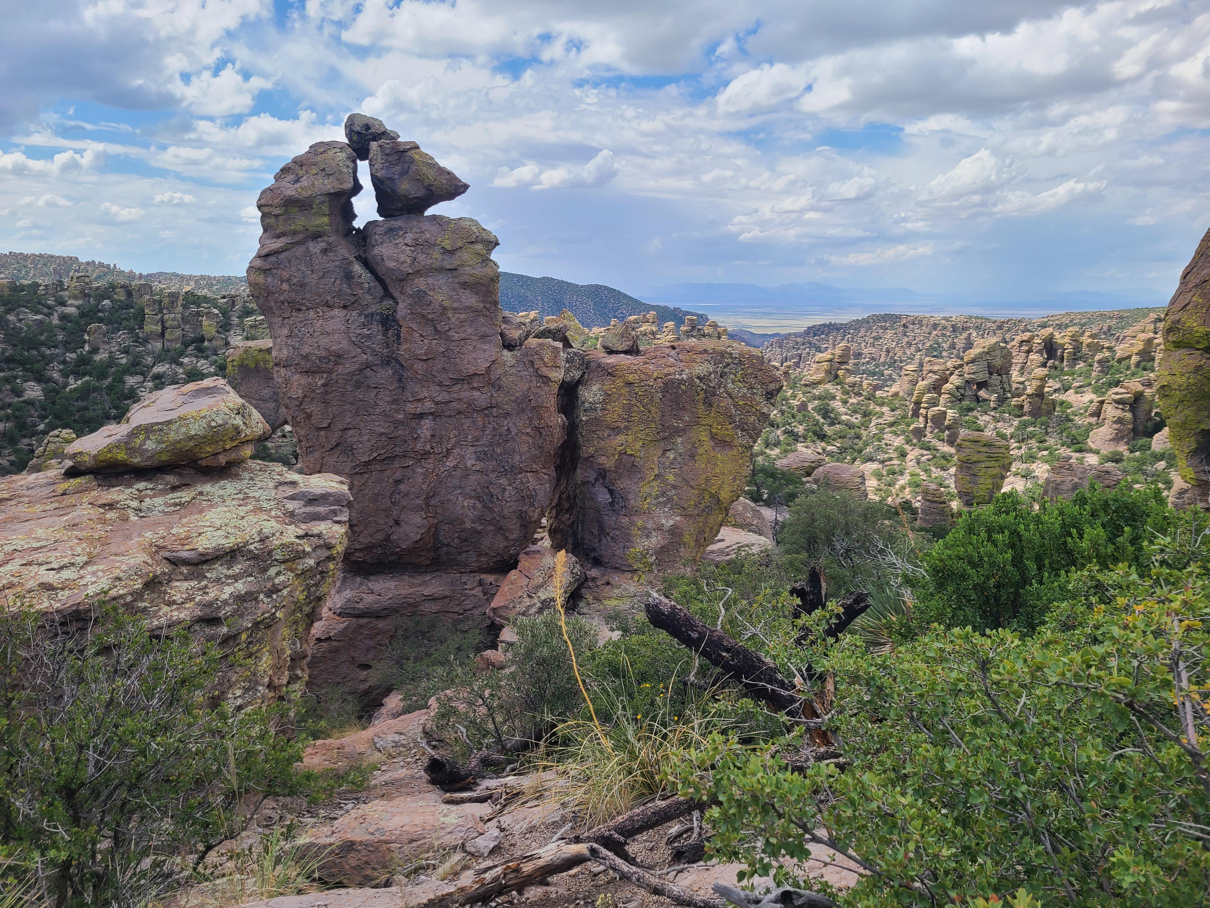
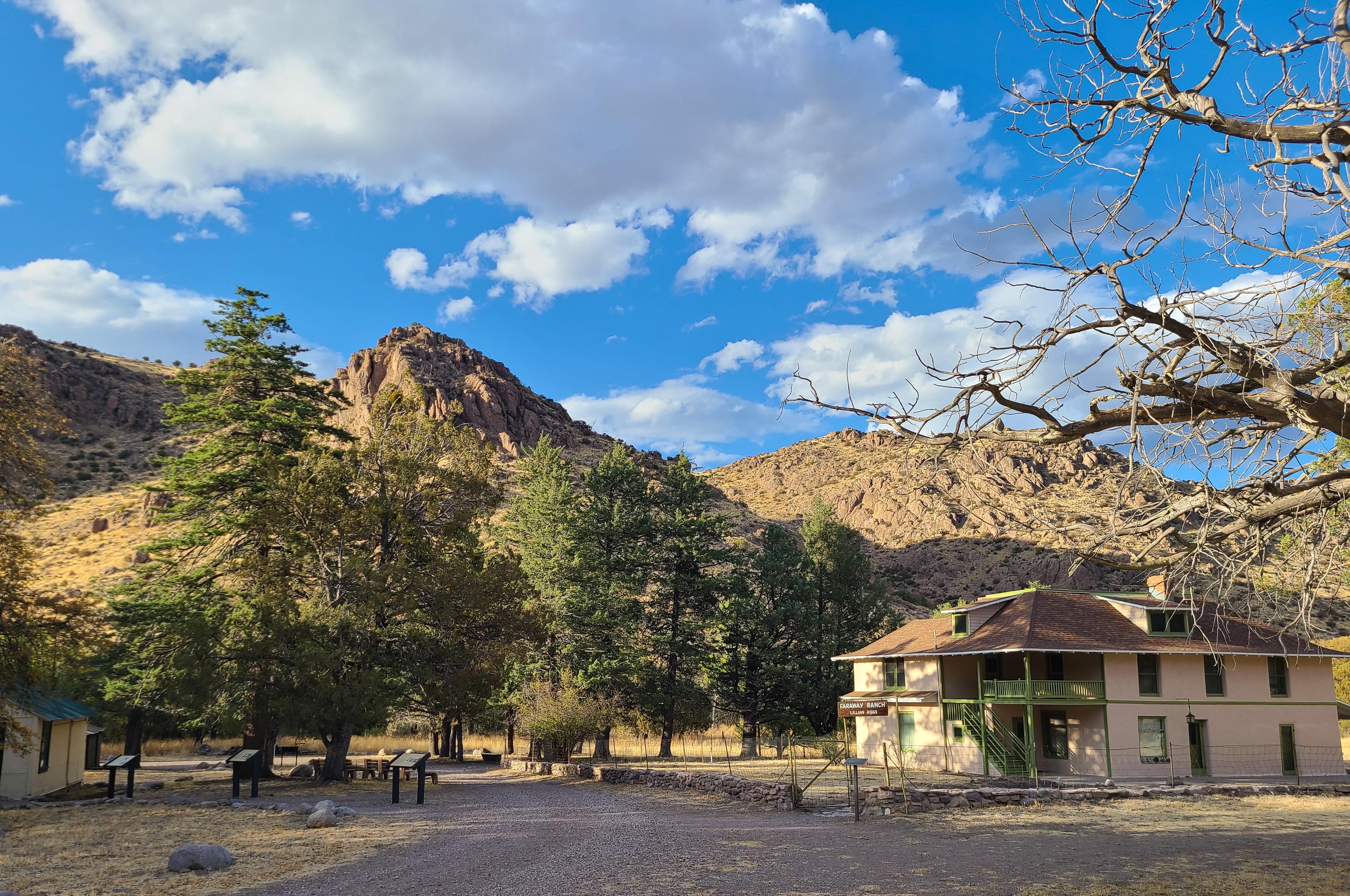
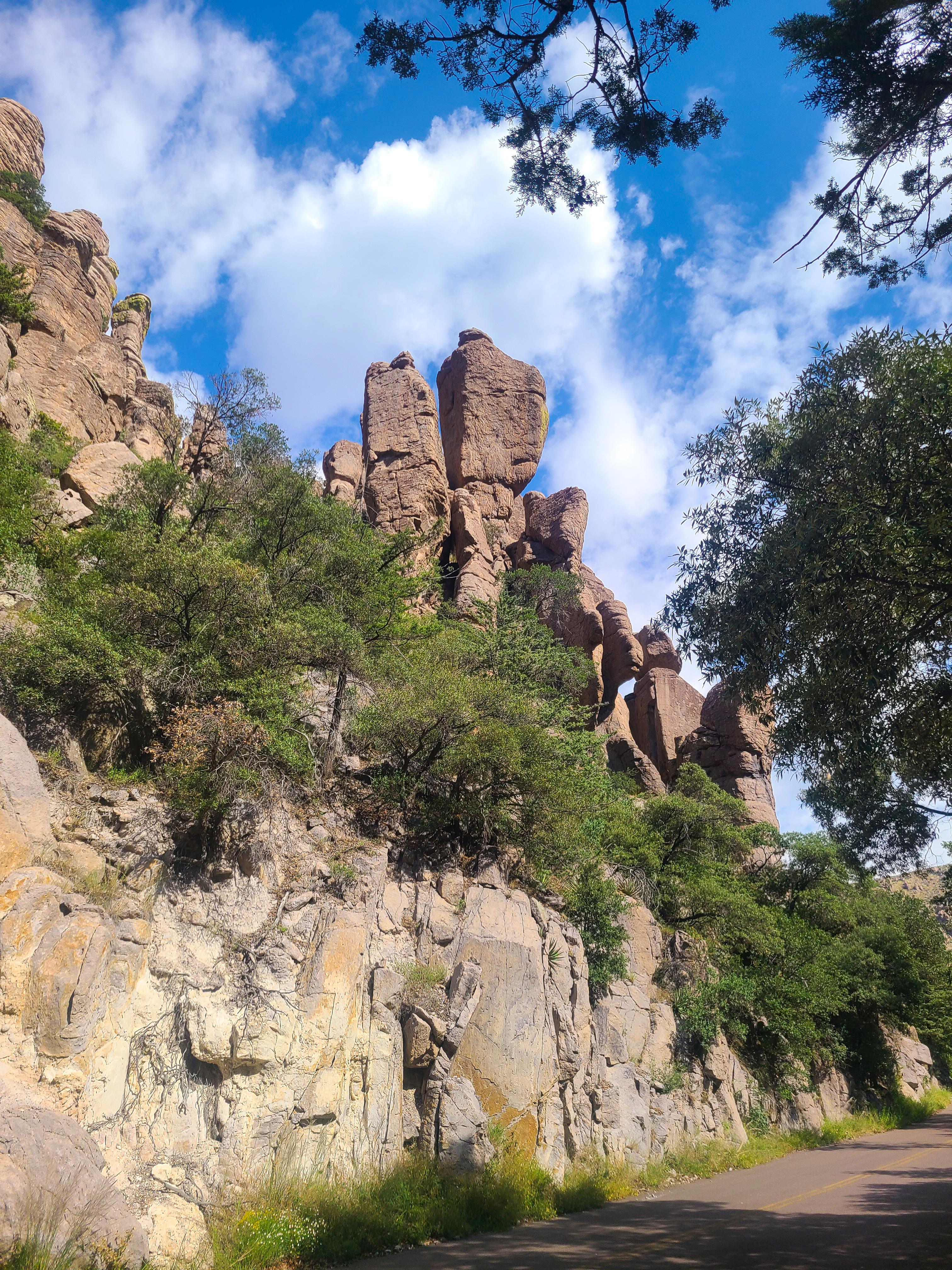
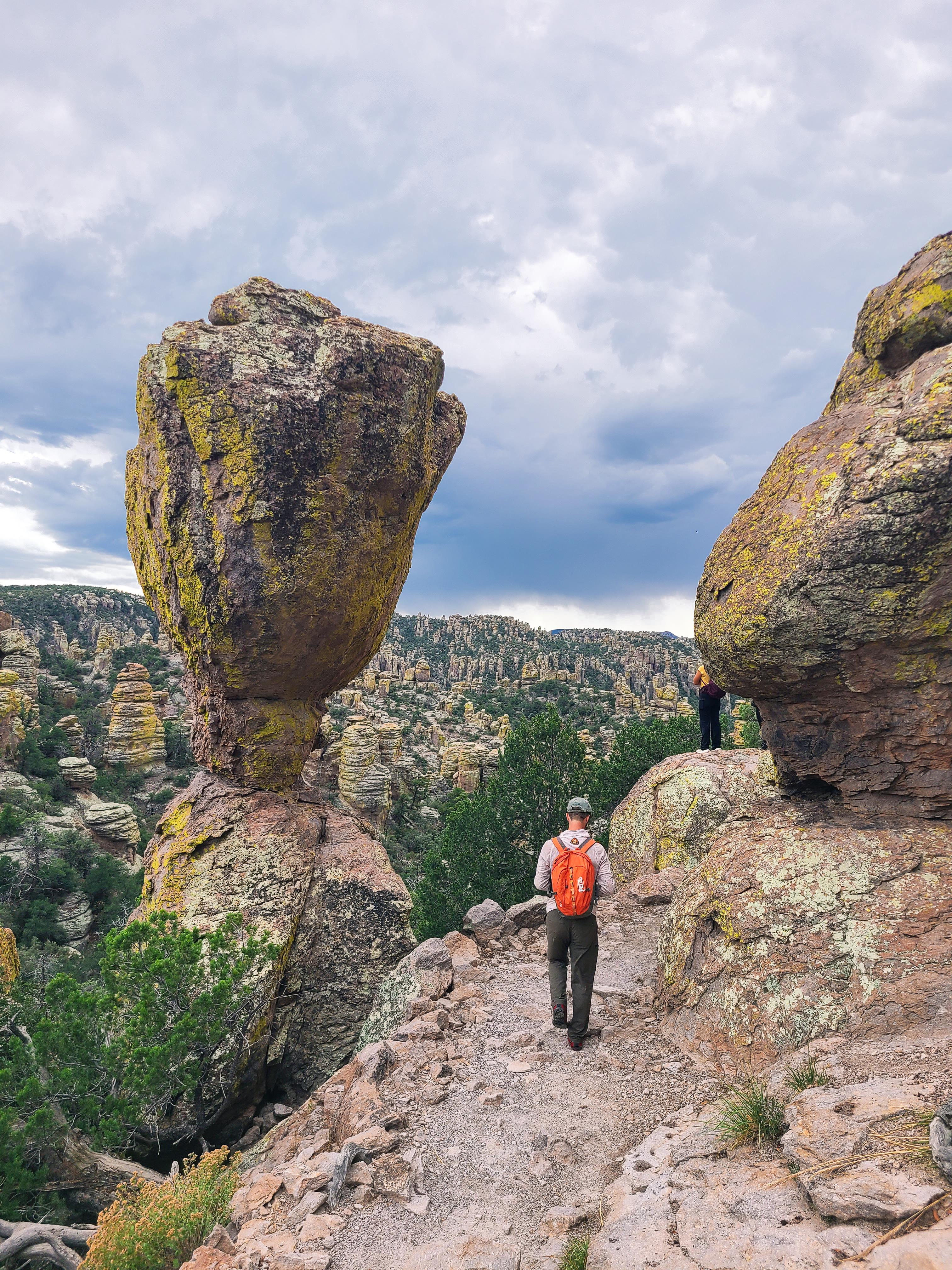
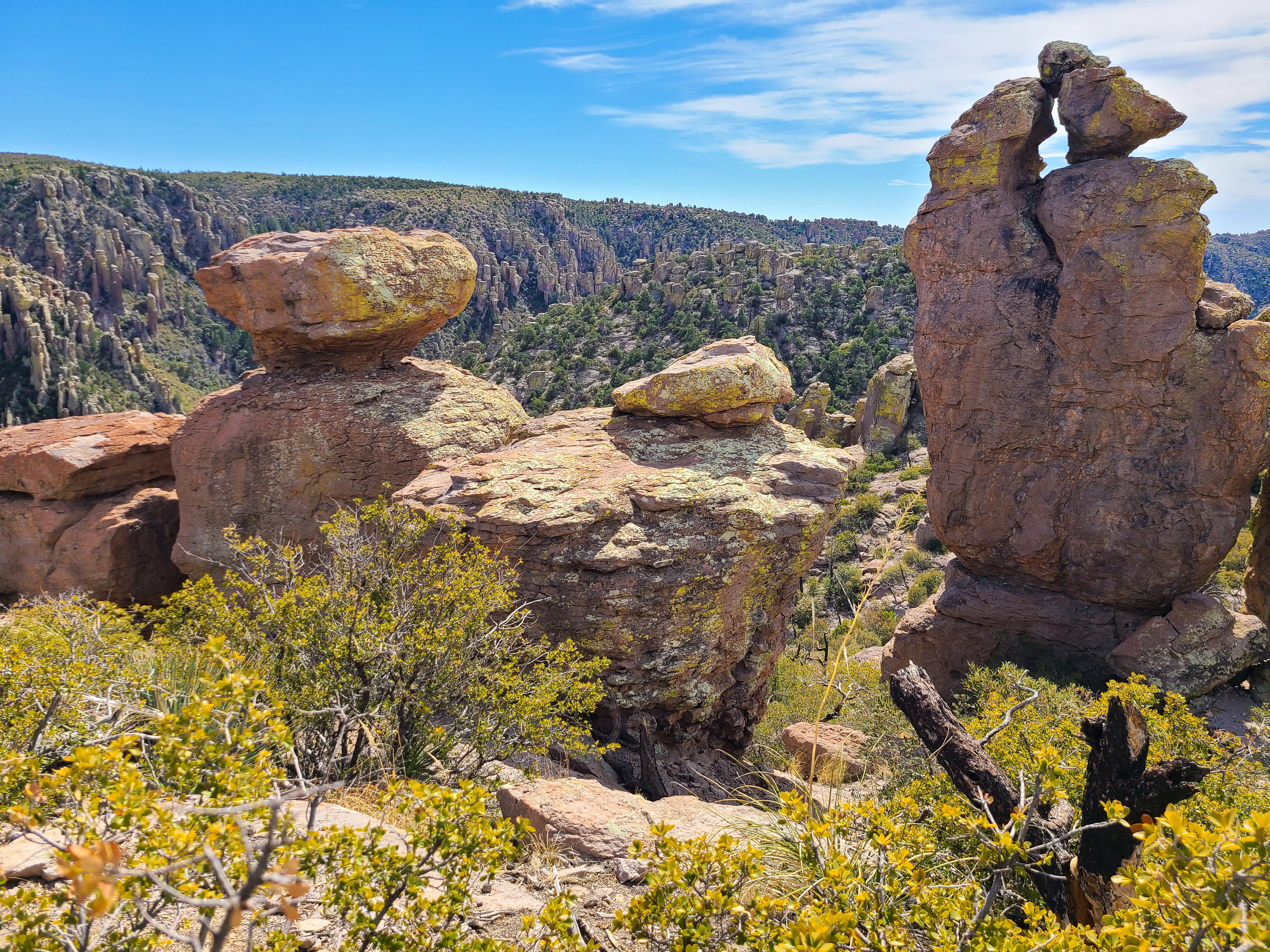
Explore rhyolite pinnacles and balanced rocks on foot or by car. Relax at the campground under star-filled, dark skies. See how a mountain range rising between two deserts creates a home for diverse wildlife. Imagine history here. Prehistoric peoples, Apaches, Buffalo Soldiers, Civilian Conservation Corps, ranchers, and homesteaders inhabited Chiricahua.
Plan a Visit
Core visitor information on this page is sourced from the National Park Service. NPD proximity sections use NPS reference coordinates and straight-line distance. Local source bundle updated Sep 27, 2026. View the official NPS page.
Weather & Conditions
The park elevation goes from 5,124 feet at the entrance to 7,310 feet on Sugarloaf Mountain. The top of the park can be 5-10 degrees cooler and windier than the visitor center and entrance. The higher elevations generally have more sun exposure. Clothing layers are always recommended here. The park…
NPS Reference Location
Park state / territory membership: Arizona. This map uses the National Park Service reference coordinate. It may represent an administrative or reference point rather than a park entrance, trailhead, visitor center, or the nearest access point. Use the official NPS directions below when planning travel.
Operating Hours
The road, campground, and facilities in the park are open overnight. Gates on the road will not be closed during overnight hours unless an emergency occurs. The park prohibits overnight parking, sleeping in vehicles, and camping outside the campground. The trails stay open for sunrise, sunset, and night sky viewing. Be aware of wildlife and use extreme caution.
Activities
Current Alerts
No large vehicle turnaround after Faraway Ranch Parking (1 mile after entrance). Vehicles over 29 feet park at Faraway. Disconnect trailers at Faraway. Trailers with campground reservations proceed to camp. Scenic drive = 24 ft limit and no trailers.
Getting There
Chiricahua National Monument is in the southeast corner of Arizona. Interstate I10 from LA or Tucson to El Paso or Lordsburg runs about 40 miles north of the park. Exits in Willcox to Hwy 186 are the most direct paved access to the park from the north. (Exits 336, 340, and 344). Note: Exit 366 to Bowie will require driving 10 miles of dirt road. This route is recommended only if stopping at Fort Bowie National Historic Site.
View Official DirectionsContact & Address
The NPS-listed address may be an administrative office, visitor center, mailing/contact location, or other park facility rather than a park entrance.
Topics & Themes
Things To Do
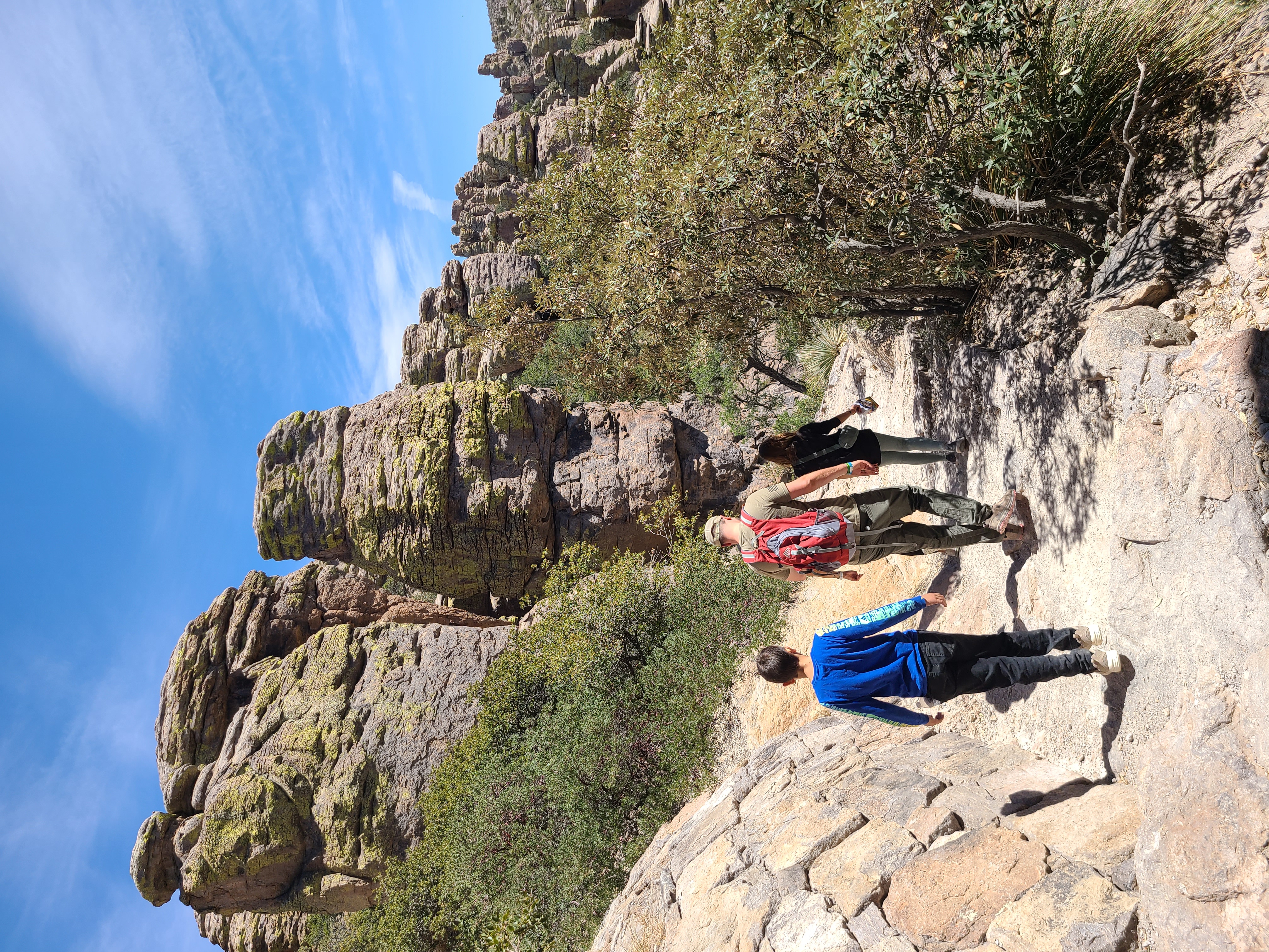
Hike the Trails at Chiricahua
17 miles of trails will take you into a wilderness of rocks. Chiricahua offers a range of day hiking options…
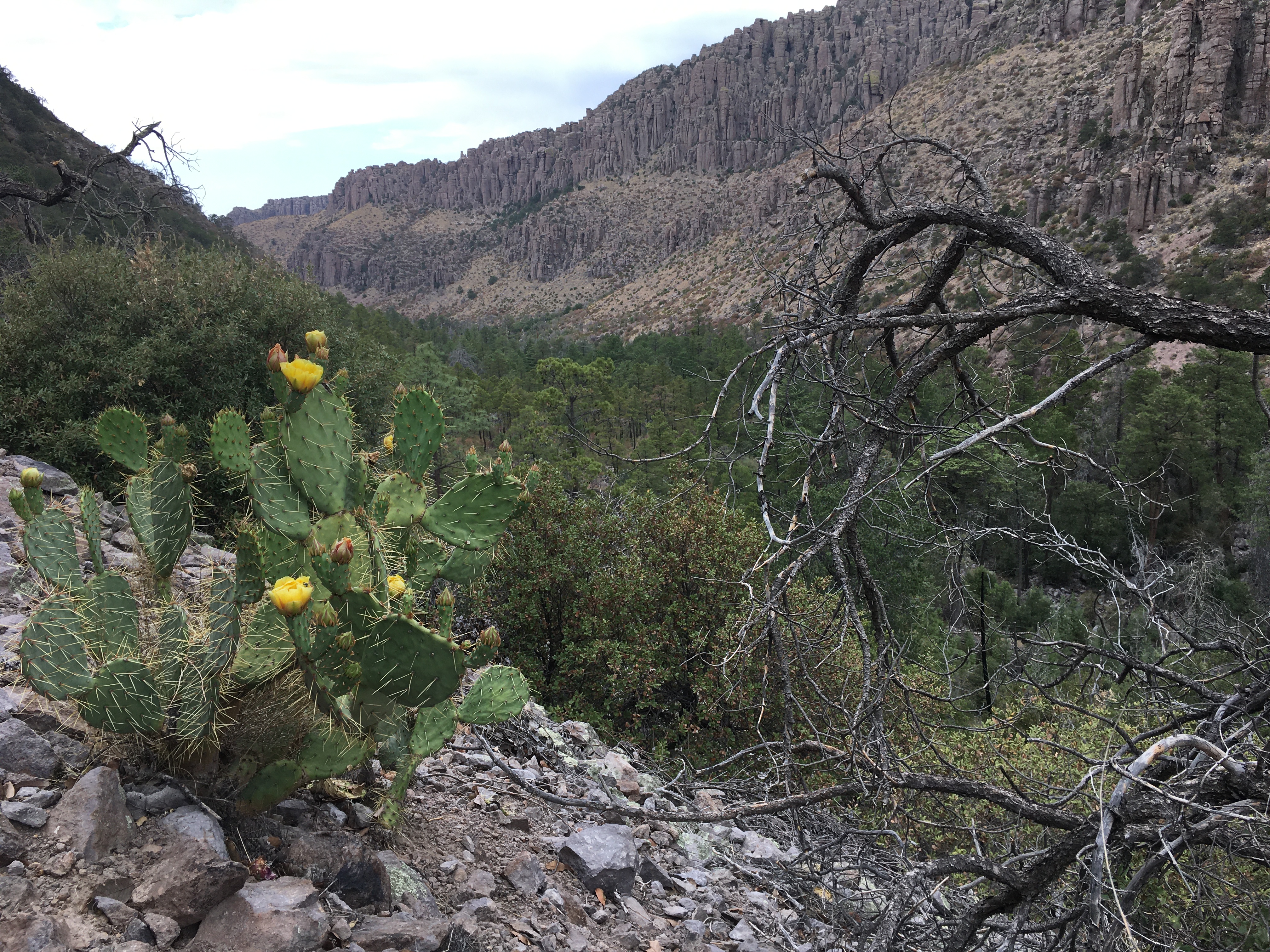
Lower Rhyolite Canyon Trail
A good way to view the rocks without driving up the road, this mostly-level trail takes you to Rhyolite Canyon,…
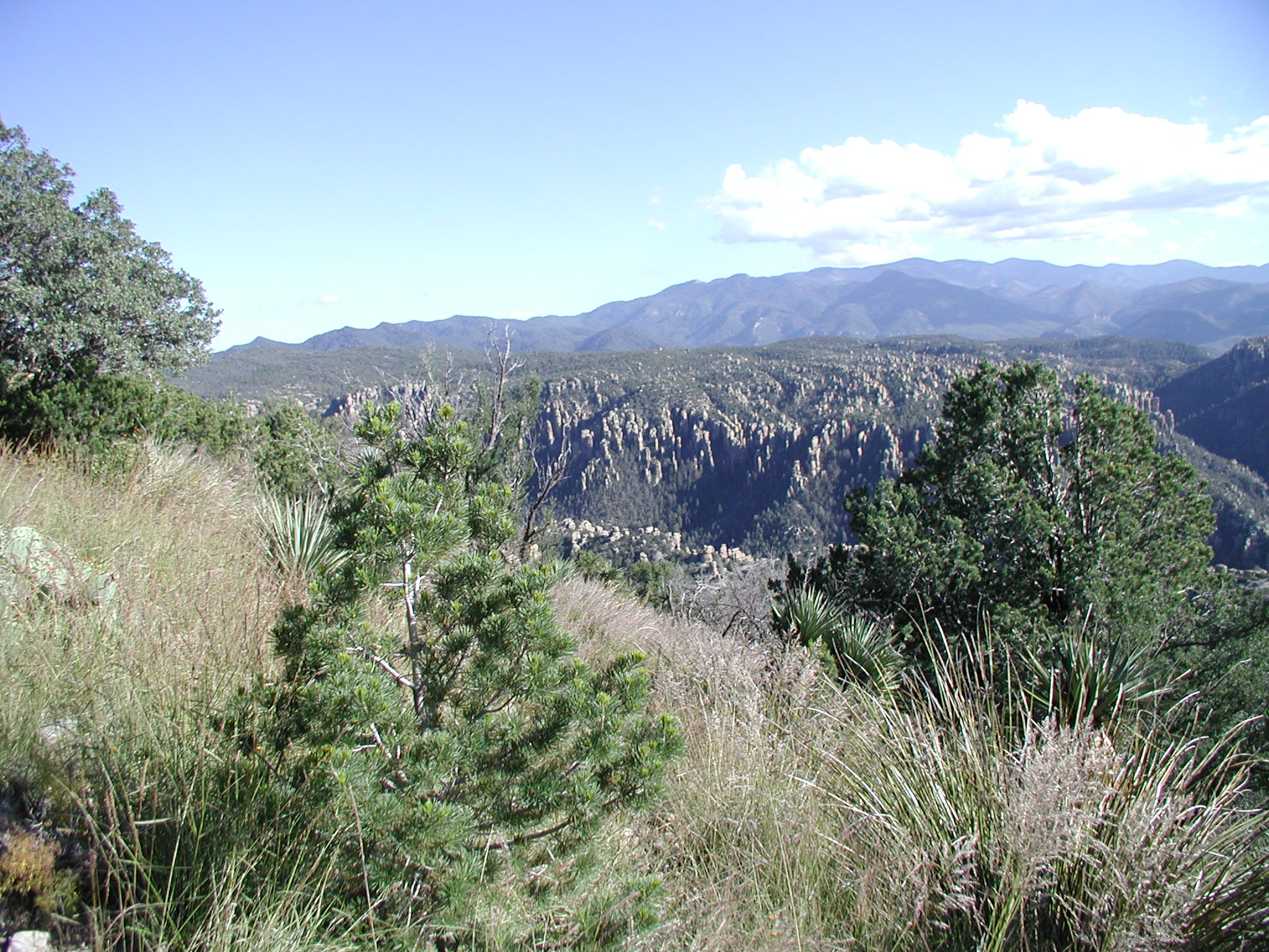
Sugarloaf Mountain Trail
This moderate trail to the top of Sugarloaf Mountain is 1.8 miles/2.8 kilometers roundtrip. Rising above the surrounding canyons, the…
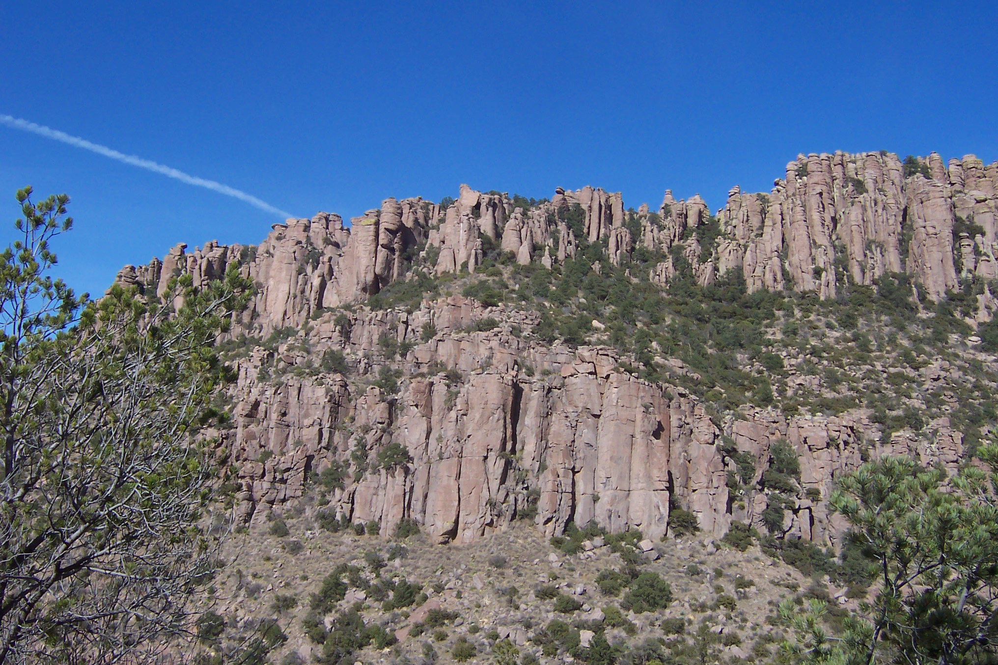
Echo Canyon to Visitor Center
This moderate, 4.2 mile/6.8 kilometer trail begins at Echo Canyon trailhead and consists of Echo Canyon, Upper Rhyolite Canyon, and…
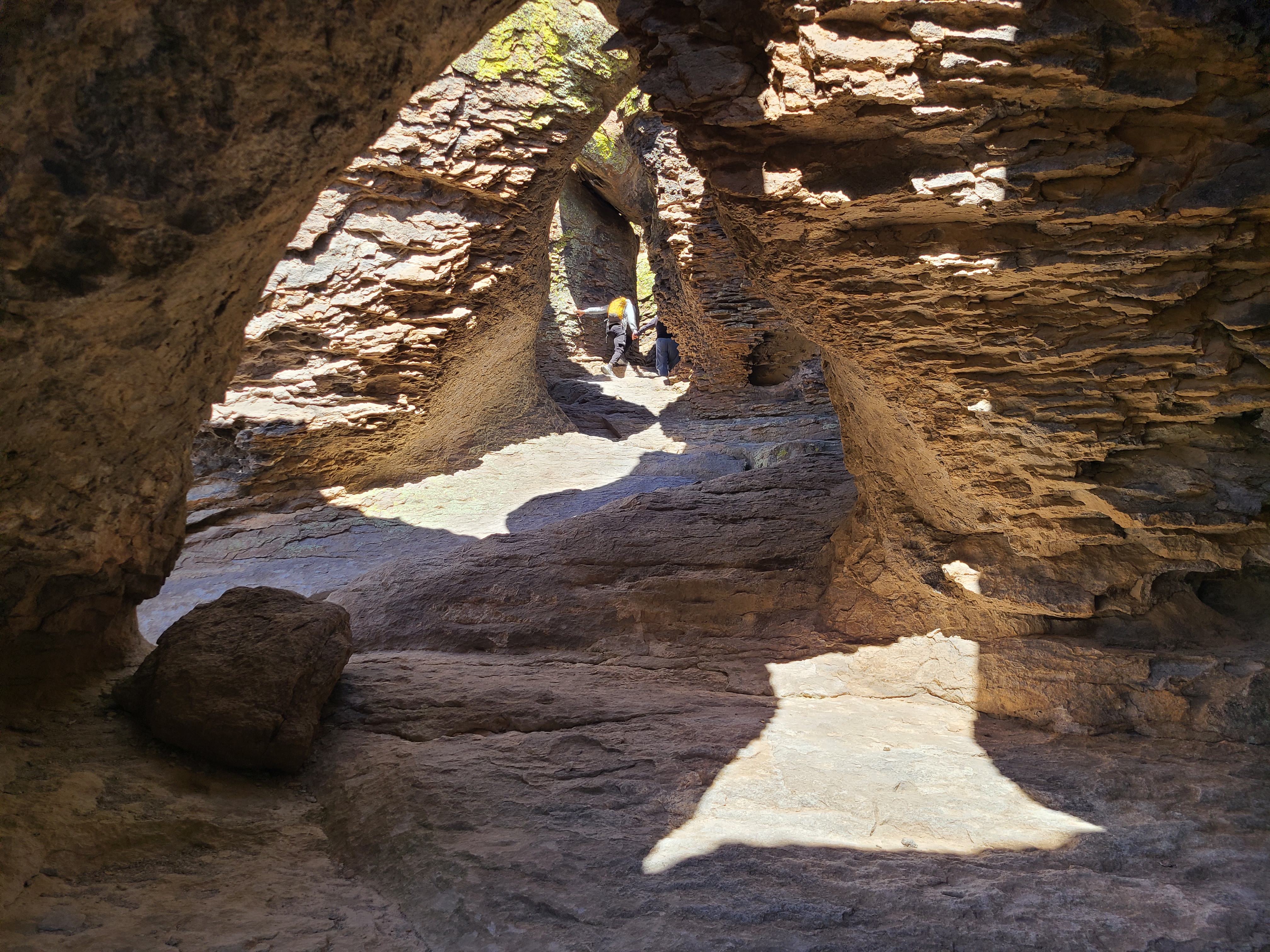
Echo Canyon Grottoes
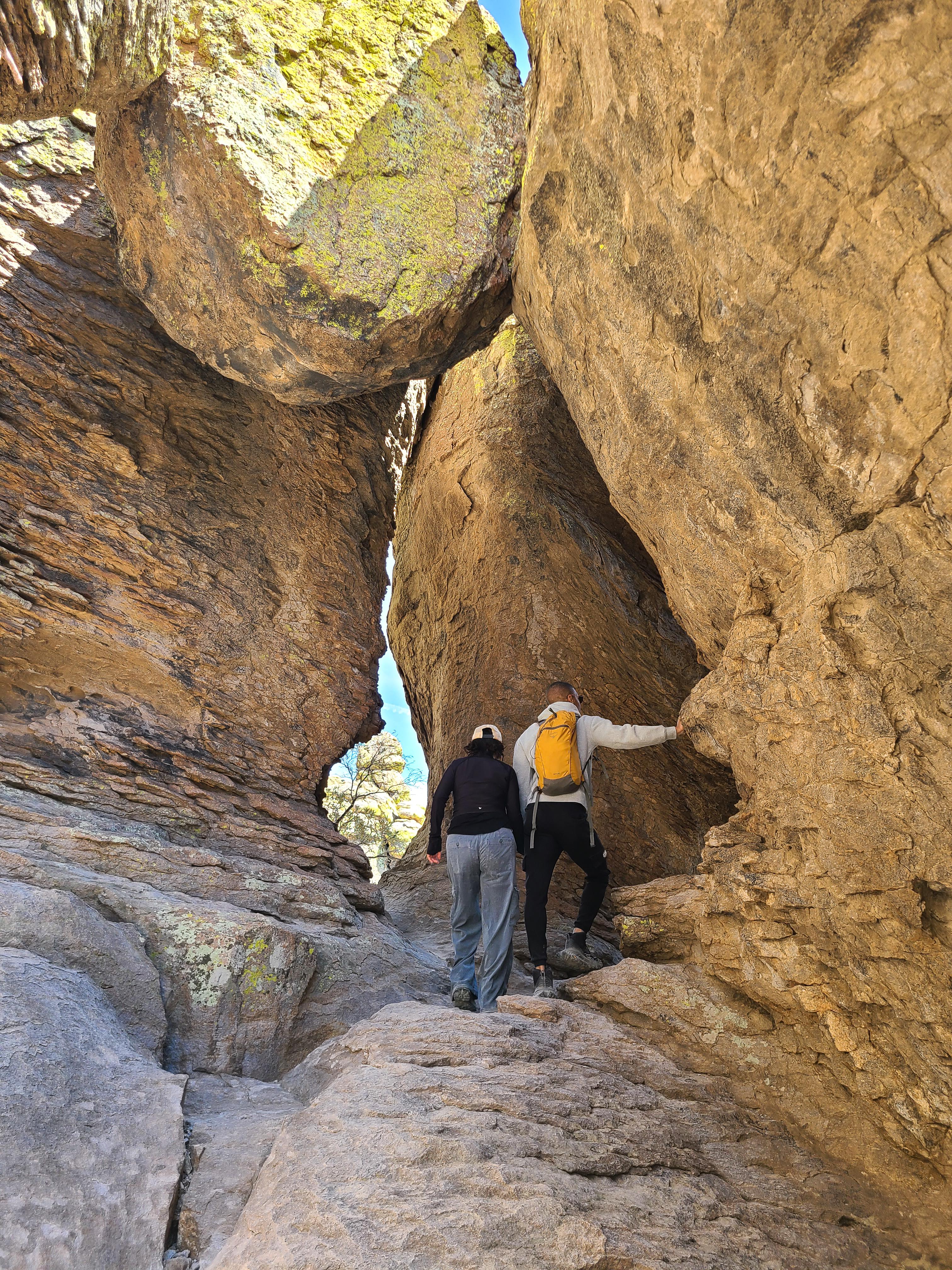
Just 1/2 mile from the parking area, on the Echo Canyon Trail, visitors can be amazed by the tunnel-like rock…
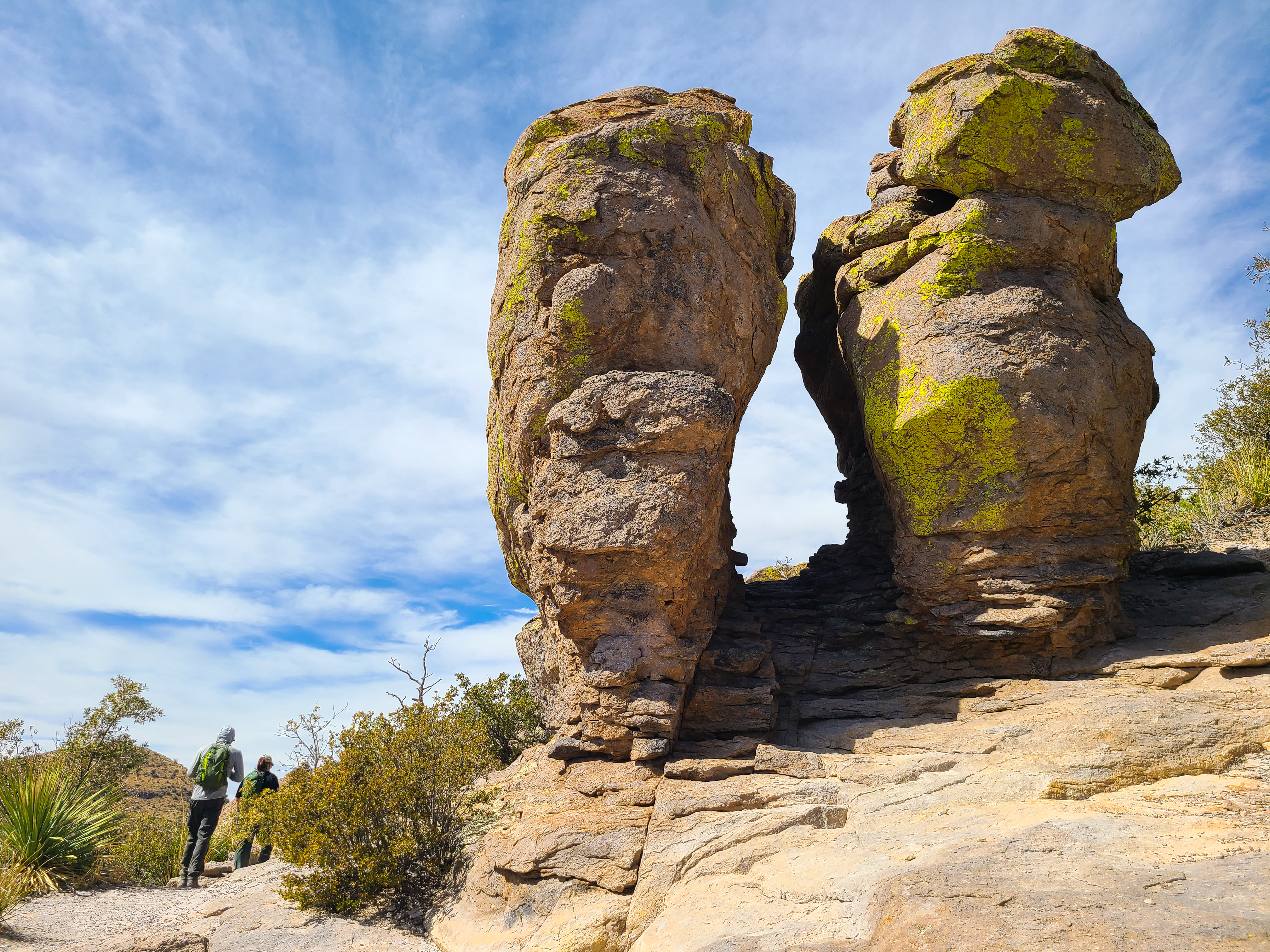
Massai Point Nature Trail
A half-mile loop trail through balanced rocks starts at the top of the scenic drive, Massai Point parking area.
More Things to Do
Additional activities and experiences from the National Park Service.
Picnicking
Bring a box lunch and relax in nature. Bonita Creek, Faraway Ranch, and Massai Point have accessible picnic areas with multiple tables…
Echo Canyon Loop Trail
The most impressive moderate hike in the park. Hike 3.3 miles through balancing rocks, the unique tunnel-like grottoes, narrow slots, and below…
Bonita Canyon Drive
This 8-mile paved drive winds up the valley through rock formations, oak, cypress, and pine forests, to Massai Point. Massai Point overlook…
Silver Spur Meadow Trail
Beginning from the Visitor Center, Campground, or Faraway Ranch picnic area, this 1.2 mile/1.9 kilometer leisurely walk goes by the Faraway Ranch…
Bonita Creek Loop
This Bonita Creek loops around the picnic area and takes you along the intermittent Bonita Creek. Watch for Apache plume and prickly…
Birdwatching at Chiricahua
Chiricahua is a haven for birdwatchers, with over 200 different bird species documented in the area! The best places for birdwatching in…
Inspiration Point Trail
This 5.4 mile / 8.6 kilometer strenuous trail takes you to the Inspiration Point overlook. The route consists of Ed Riggs, Mushroom…
Heart of Rocks Loop
The Heart of Rocks Loop is a 7.3 mile/11.8 kilometer roundtrip hike to many of the most unusual rock formations in the…
Stargazing at Chiricahua
Chiricahua National Monument is always open, so come experience our dark skies! The best places to view the night sky at Chiricahua…
Horseback Riding at Chiricahua
Come explore the "Wonderland of Rocks" on horseback! Horses are allowed on many of the trails in the monument.
The Big Loop
For folks wanting to do everything, this 9.5 mile route consists of the Echo Canyon, Upper Rhyolite Canyon, Sarah Deming, Heart of…
Trail to Natural Bridge
The least used trail in the monument climbs through oak and juniper woodlands to a ridge then drops into the Apache pine…
Showing 18 of 19 NPS Things to Do records available for Chiricahua National Monument.
Visitor Centers
Chiricahua National Monument Visitor Center
The visitor center, on the right 3.5 miles after the entrance, is open from 8:30 am to 4:30 pm. It has an information desk, museum,…
Campgrounds
Bonita Canyon Campground
Bonita Canyon Campground is a small, historic campground with many trees. It has 23 sites ALL by reservation only. The campground has flush toilets, running…
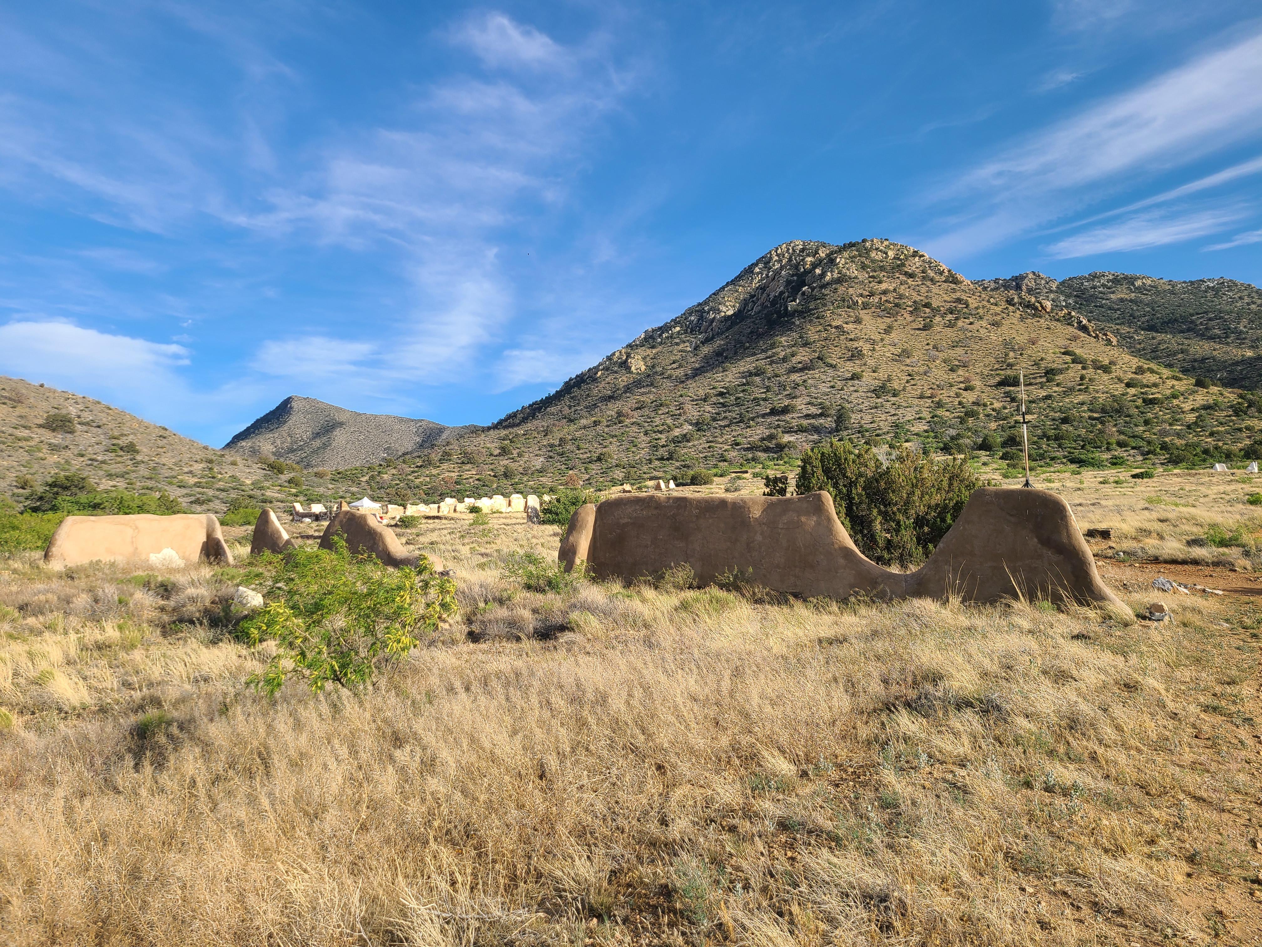
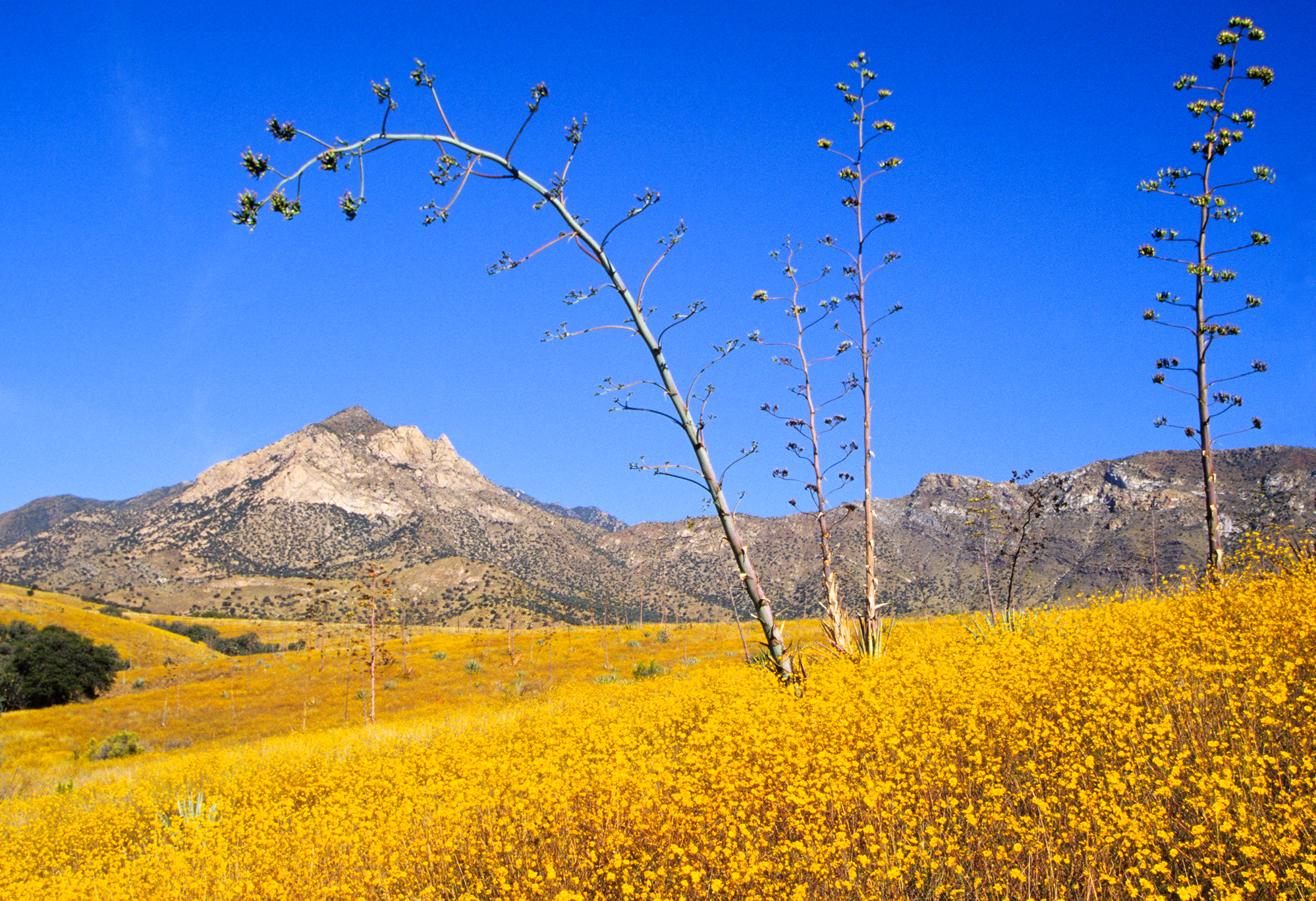
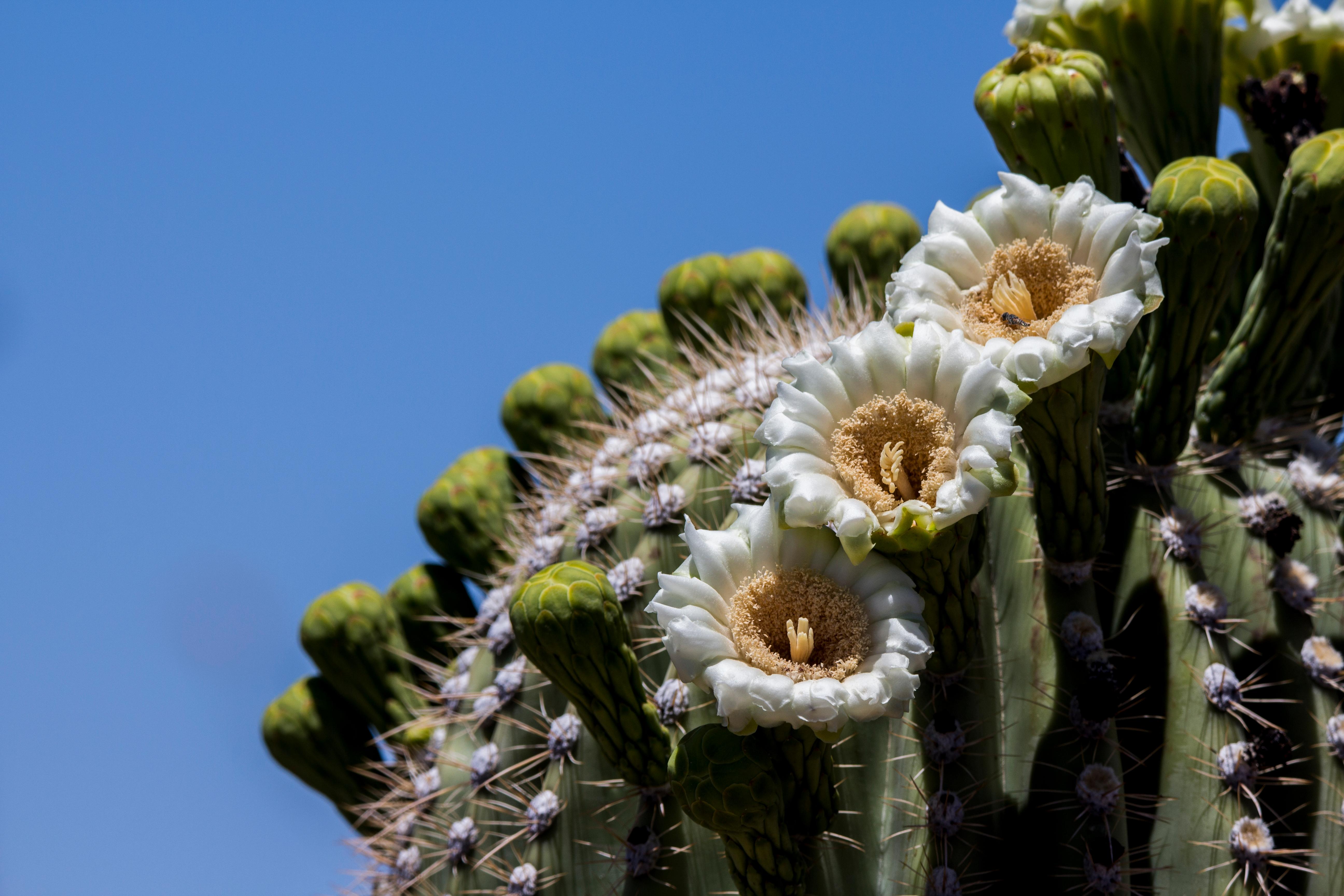
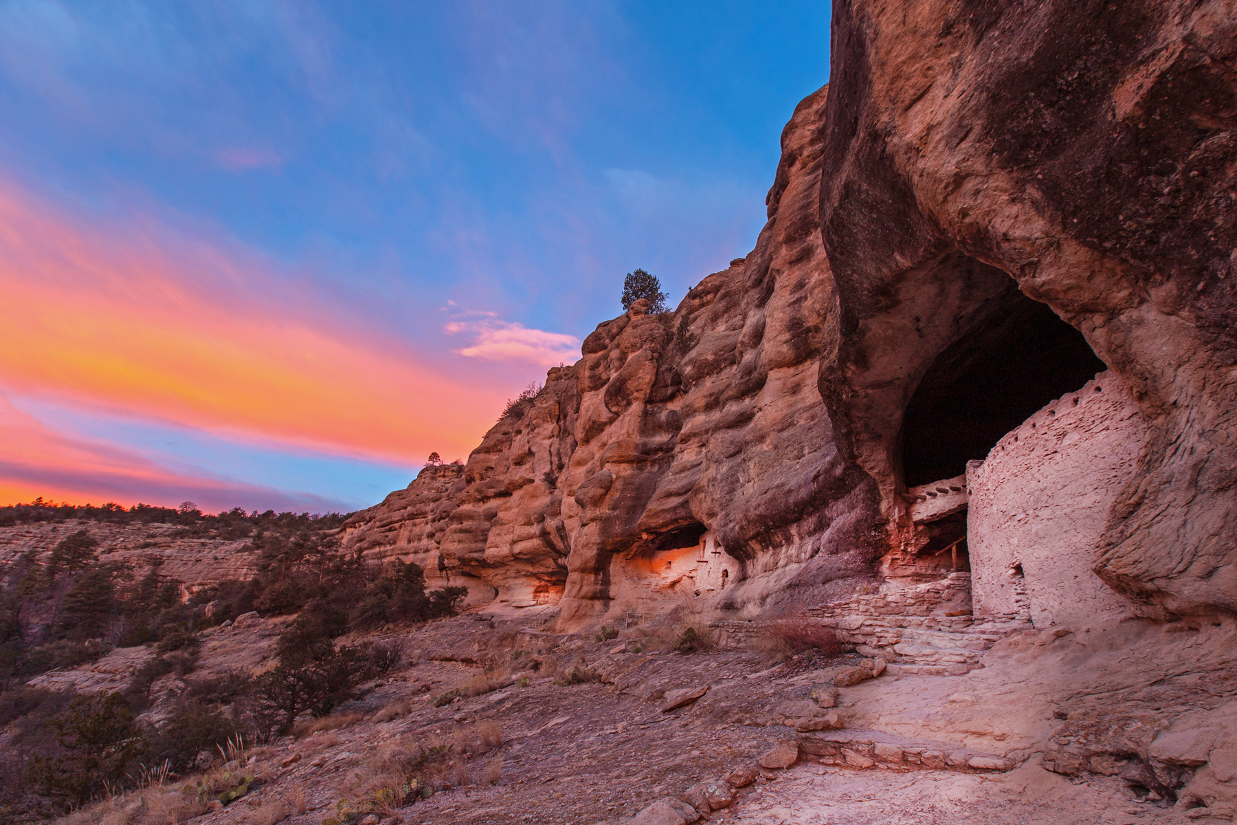
Nearby National Park Service Sites
These sites are ordered by straight-line distance between NPS reference coordinates. This is useful for comparison, but it is not road mileage. Trails, parkways, rivers, and distributed units may extend far from their reference point.
Nearby Cities for Trip Planning
These cities are ordered by straight-line distance from the NPS reference coordinate. They are comparison starting points, not official park gateways or road-distance estimates. Trails and other distributed units may extend far beyond this reference point.
🗺️ Guided Tours & Experiences
Discover Chiricahua National Monument with expert-led tours
We earn a commission if you make a purchase, at no additional cost to you.
🏨 Search Lodging for Chiricahua National Monument
Review lodging results matching this park or site name
We earn a commission if you make a purchase, at no additional cost to you.