
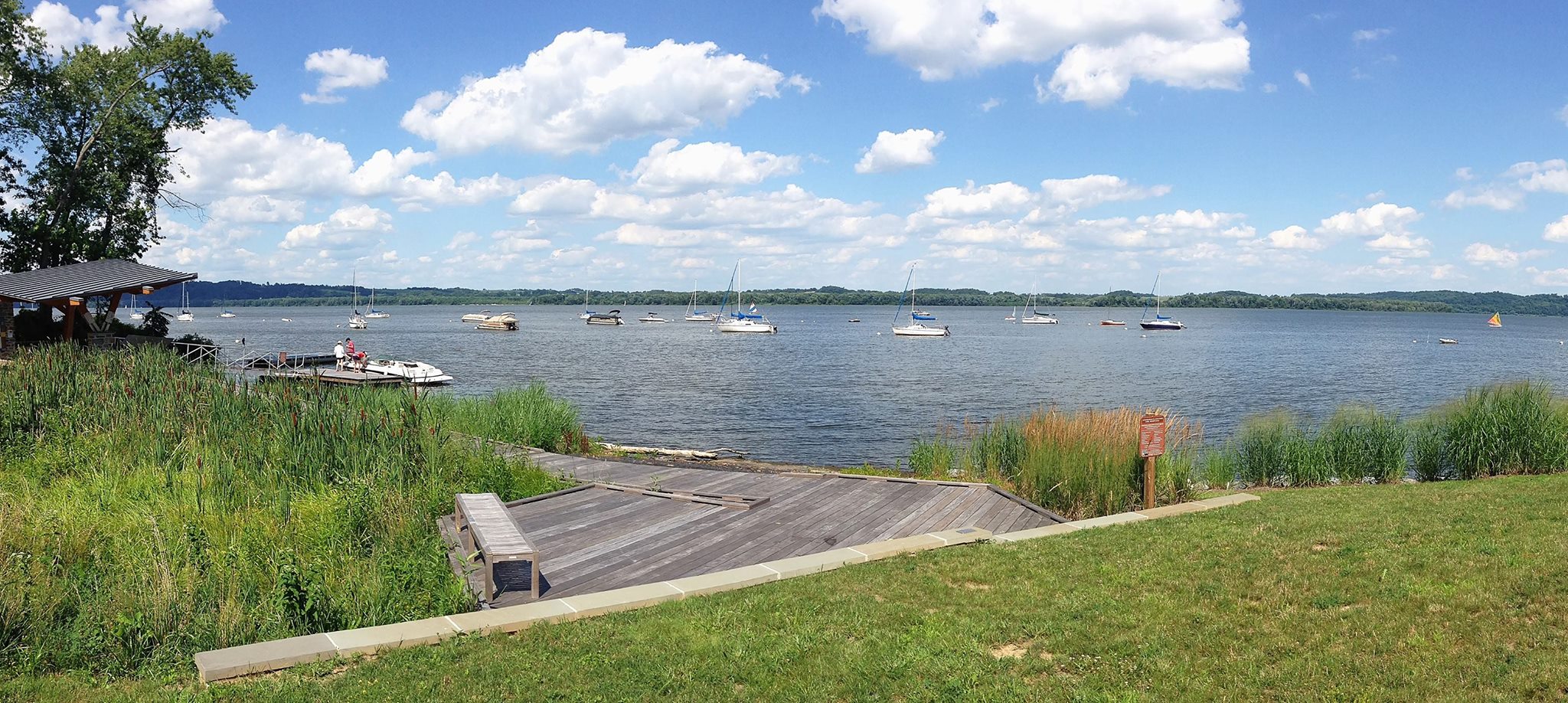
About Captain John Smith Chesapeake National Historic Trail
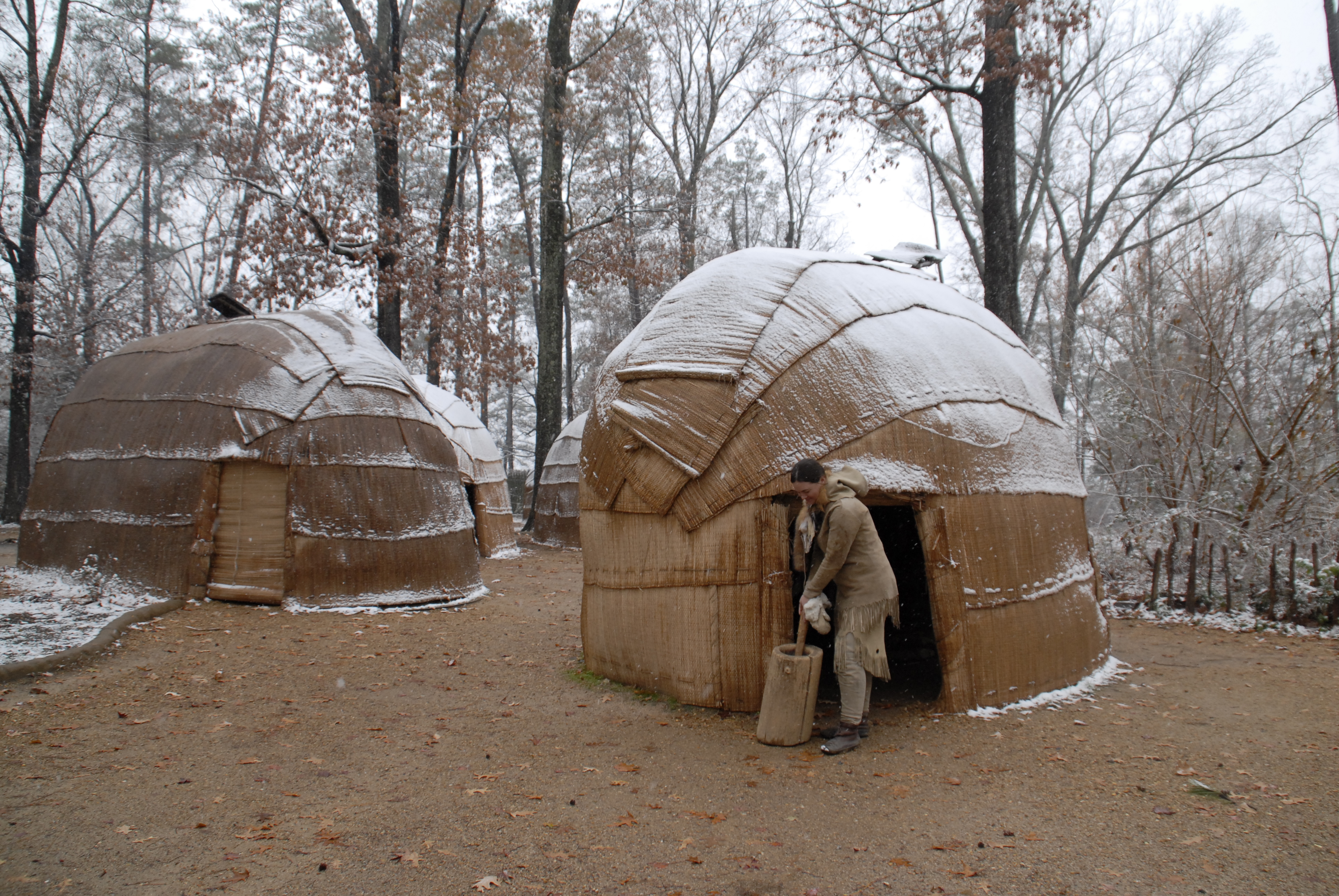
People first arrived in the Chesapeake Bay during the last ice age. As glaciers melted, diverse societies learned to thrive in a world of water. When Englishman Captain John Smith explored the Bay in 1608, he documented hundreds of American Indian communities. Today, sites on his map are archeological treasures and sacred sites for tribal citizens. Come join us on the shores of the Chesapeake Bay!
Plan a Visit
Core visitor information on this page is sourced from the National Park Service. NPD proximity sections use NPS reference coordinates and straight-line distance. Local source bundle updated Sep 27, 2026. View the official NPS page.
Weather & Conditions
During the summer season, visitors should dress in light, comfortable, moisture-wicking clothing, and use sunscreen. High temperatures and humidity create a higher risk of heat cramps, heat exhaustion and heatstroke. We strongly recommended you carry a bottle of water with you and wear a life jacket at all times. During…
NPS Reference Location
Park state / territory membership: Virginia, Maryland, Delaware, District of Columbia, Pennsylvania, New York. This map uses the National Park Service reference coordinate. It may represent an administrative or reference point rather than a park entrance, trailhead, visitor center, or the nearest access point. Use the official NPS directions below when planning travel.
Operating Hours
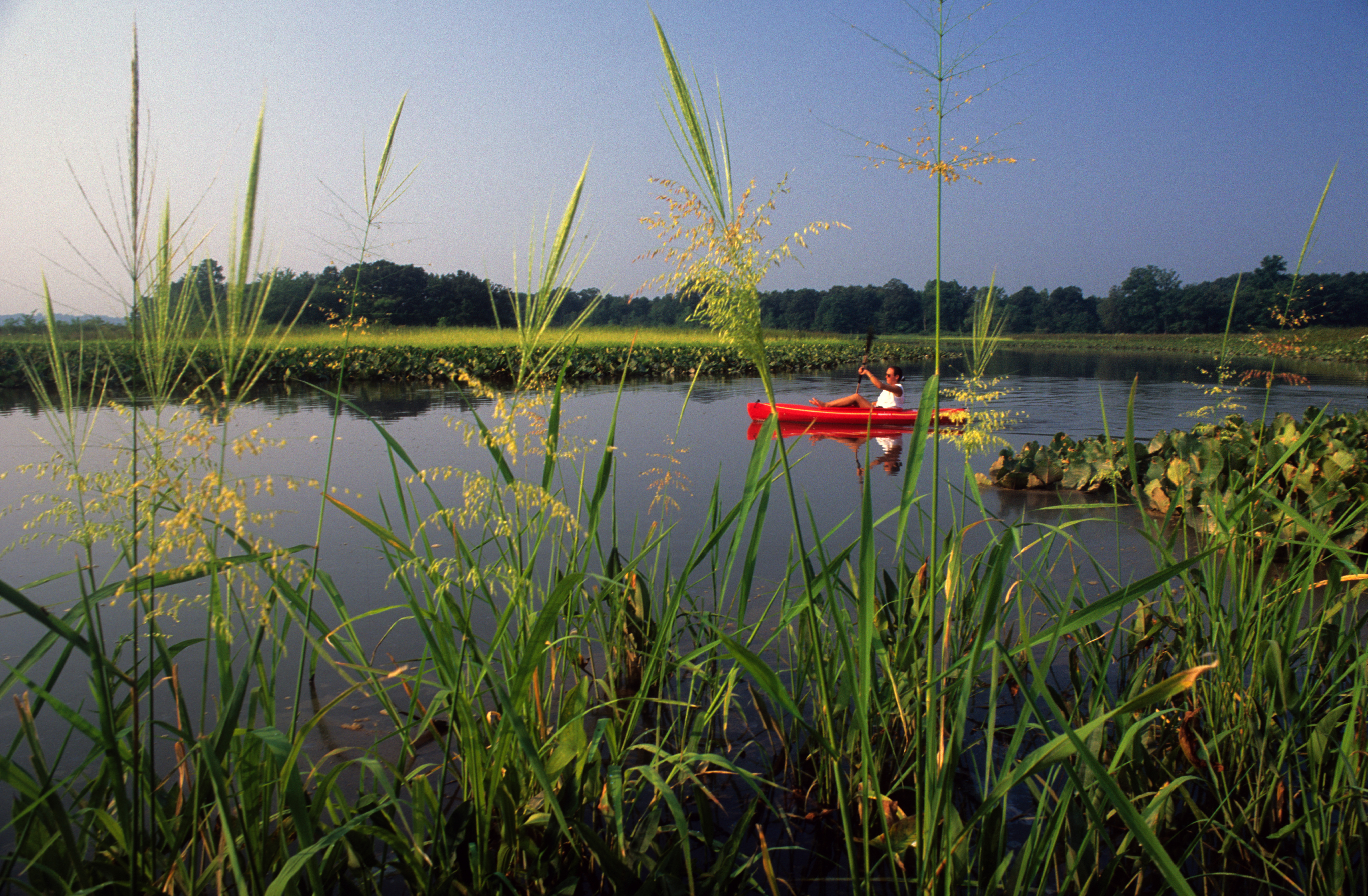
The water trail is open 24 hours a day, 7 days a week, 365 days a year! To launch your kayak or other vessel on the trail, access a local boat launch along one of the trail's many tributary rivers and coastlines. Local boat launches, state parks, and other locations have specific operating hours and seasons. Always check weather and conditions before going out on the water - take care during the winter months to dress appropriately for the weather and the possibility of submersion in cold water.
Activities
Getting There
The water trail is 3,000 miles long and there are countless places to explore it. The trail's headquarters and main visitor center is at Colonial National Historical Park - Historic Jamestowne. For an internet map search or GPS, use the following: Historic Jamestowne Visitor Center, 1368 Colonial Parkway, Jamestown, Virginia 23081.
View Official DirectionsContact & Address
The NPS-listed address may be an administrative office, visitor center, mailing/contact location, or other park facility rather than a park entrance.
Topics & Themes
Things To Do
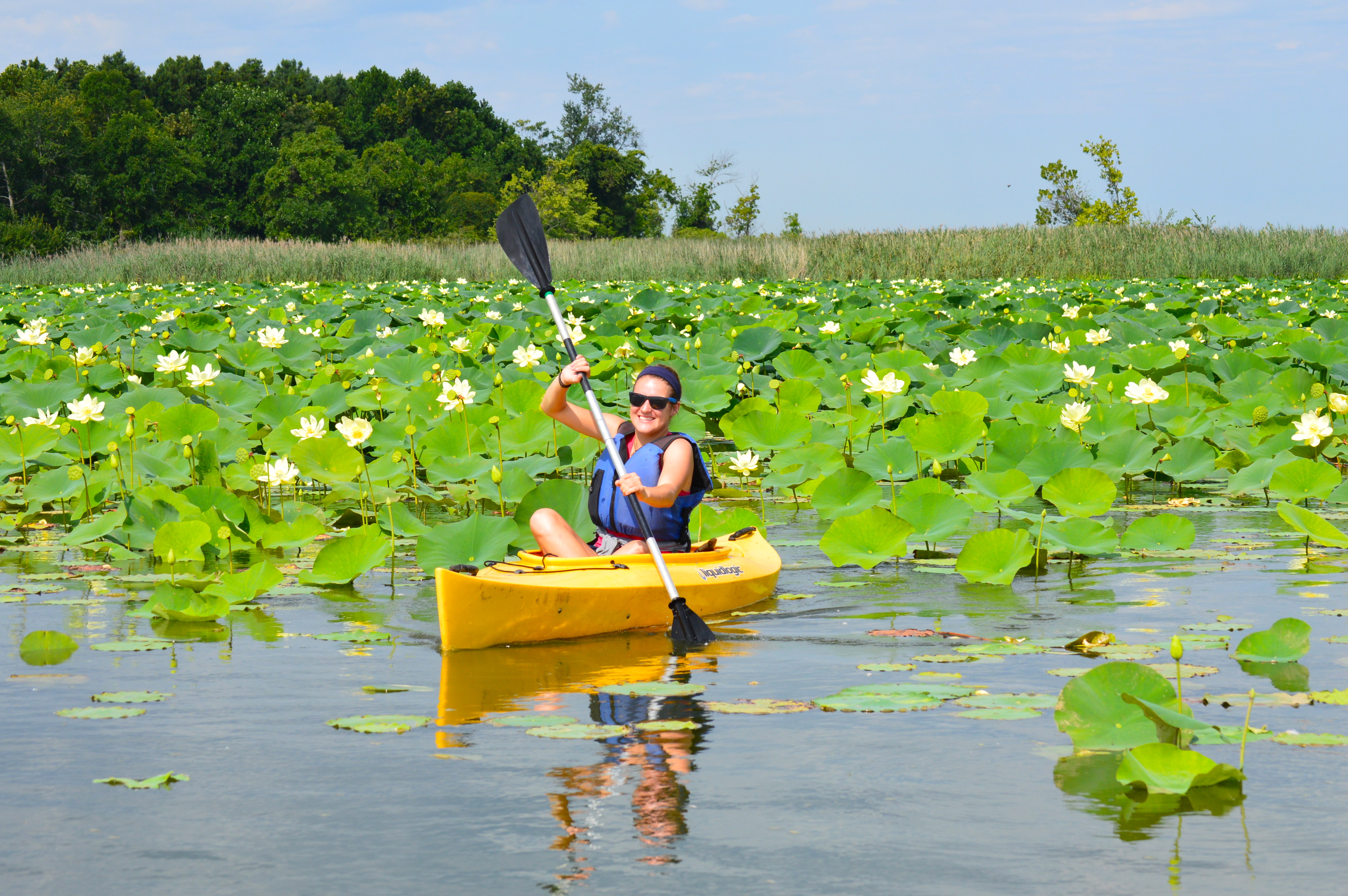
Paddle the Sassafras River Water Trail
The Sassafras River Water Trail is a 22 mile-long route located in the Upper region of the Chesapeake Bay. The…
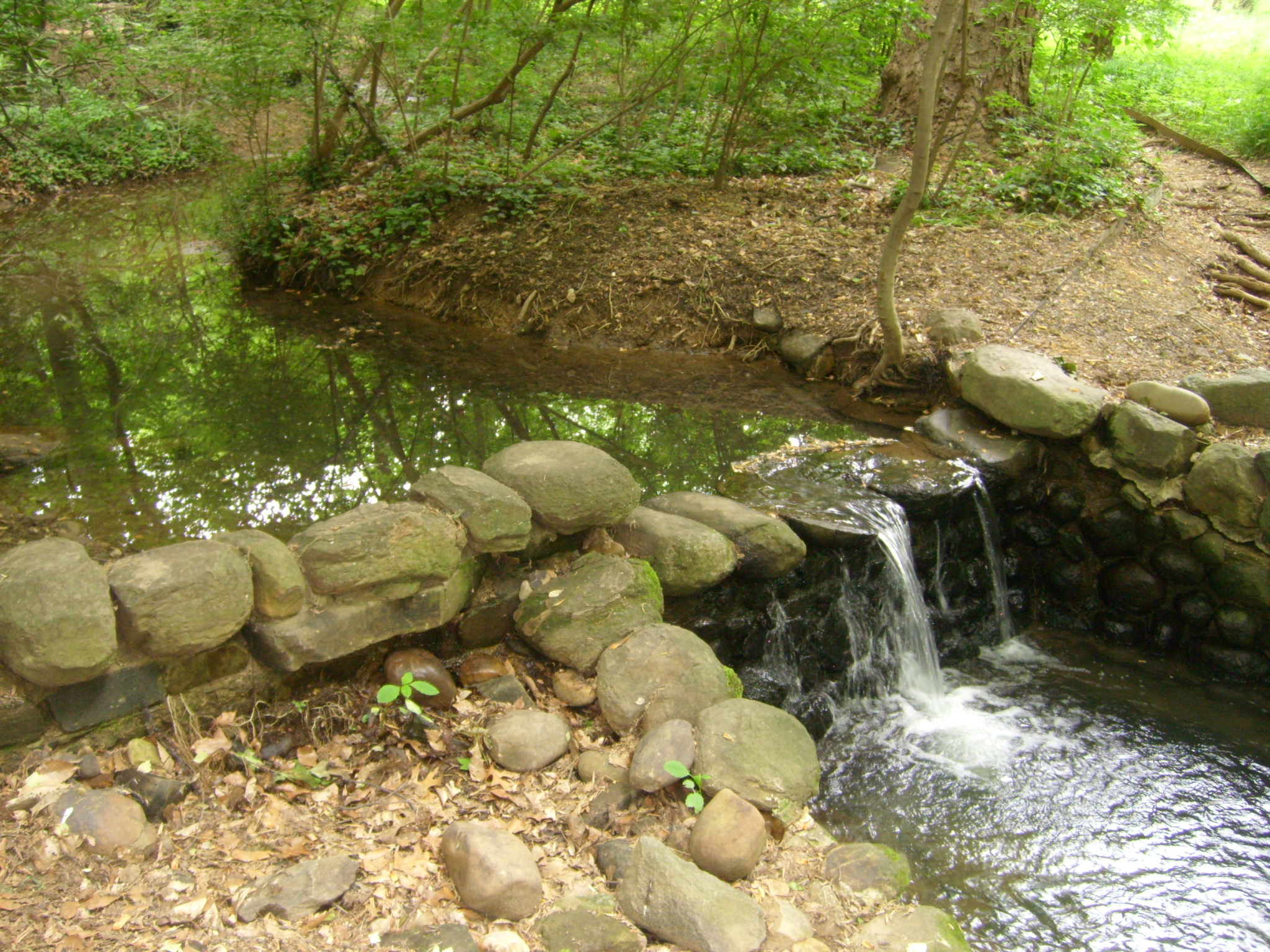
Multi-Park Loop
Park your car and stretch your legs! Visit four different National Parks in Washington, DC and begin logging miles on…
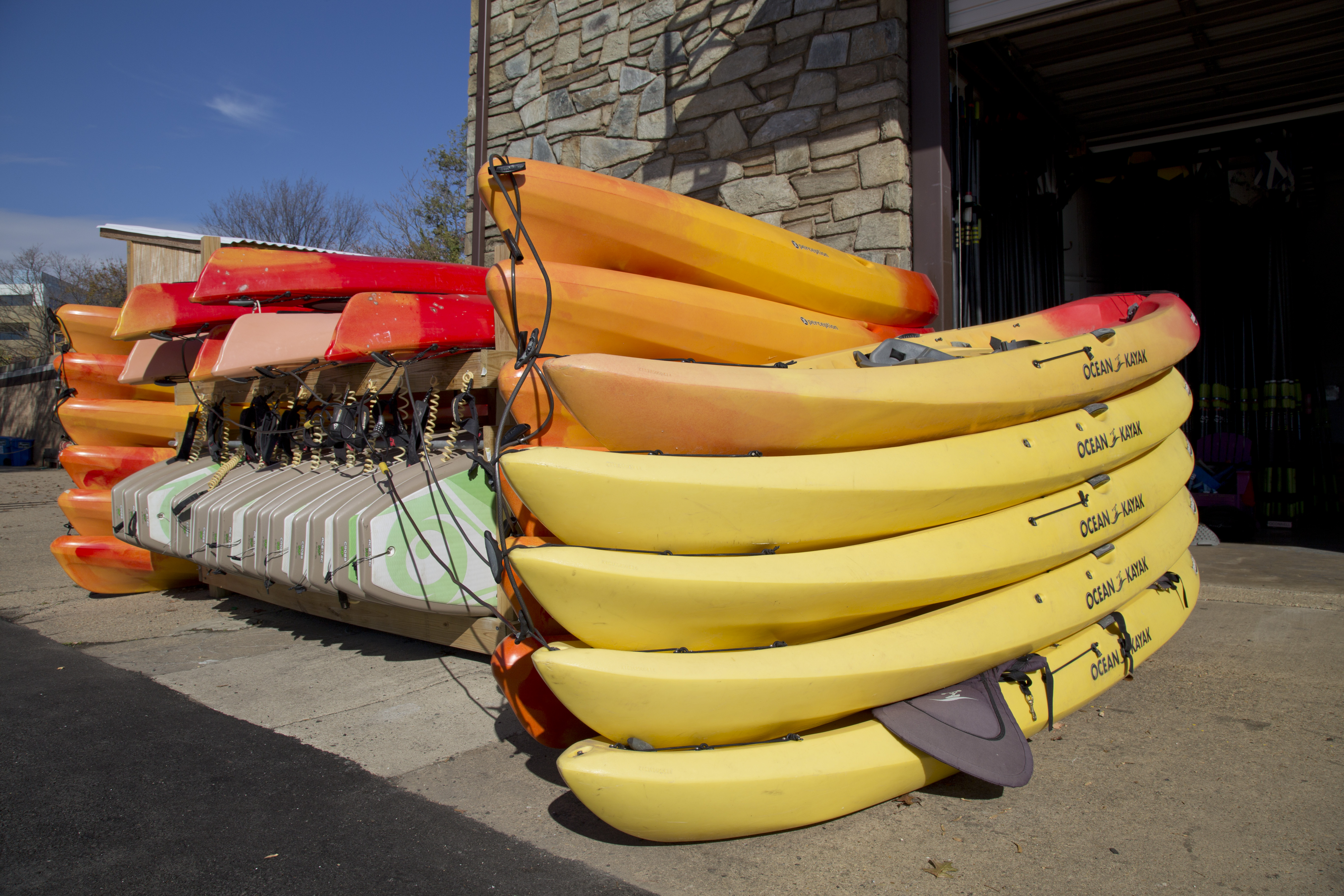
Boating in Rock Creek Park
Rent kayaks, canoes and stand up paddle boards from one of two boat houses along the Potomac River.
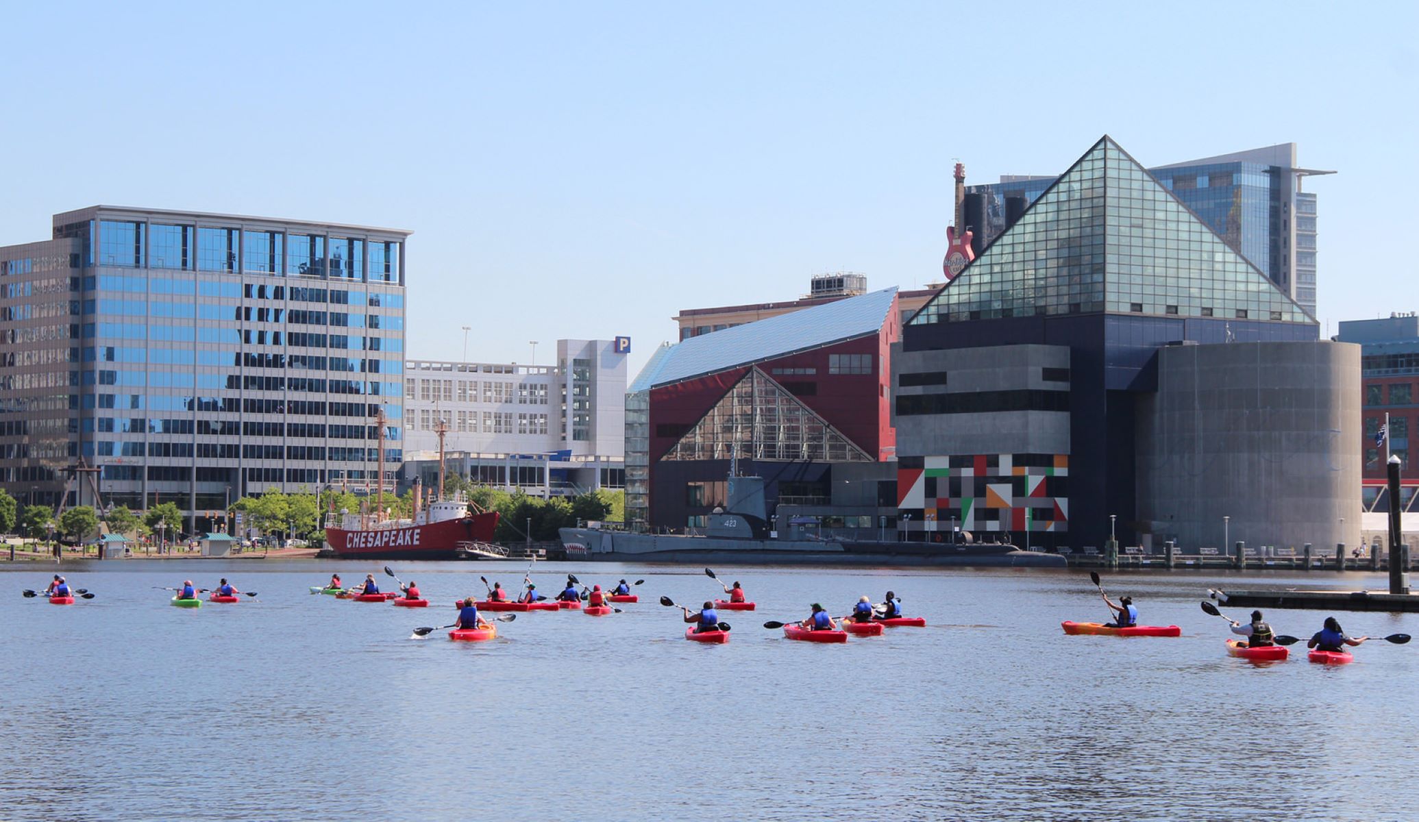
Paddle the Baltimore Blueway
Choose from 30 miles of trails in the Inner Harbor, Outer Harbor, Middle Branch, and Patapsco River. Imagine yourself gliding…
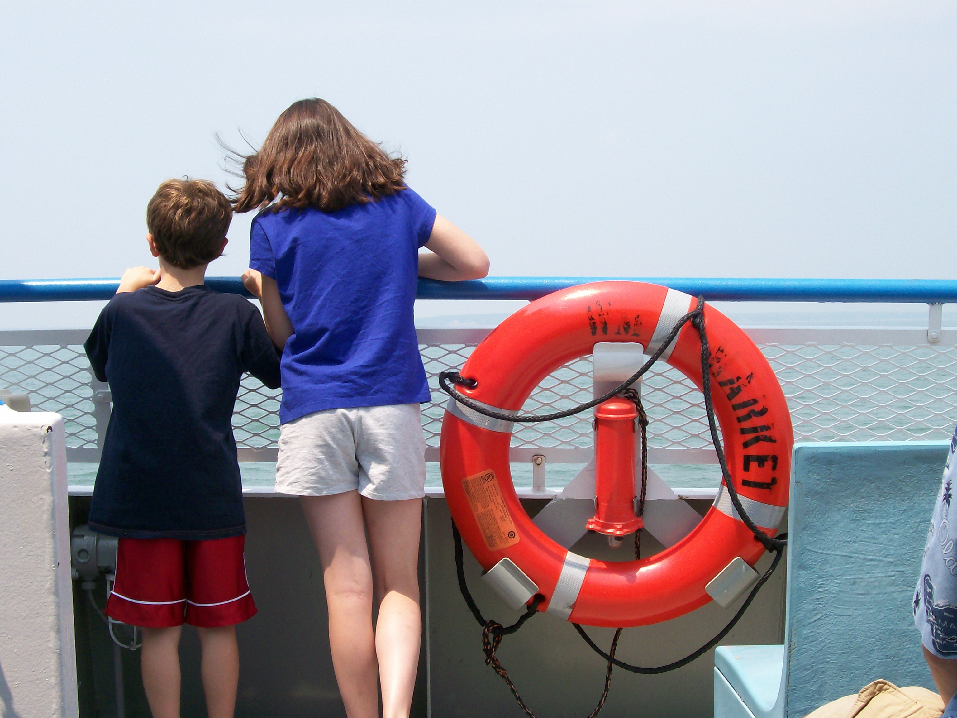
Bicycle to a marina from Reedville, Virginia
Bicycle from Reedville, an historic village at the northeastern part of the Northern Neck of Virginia, to a marina for…
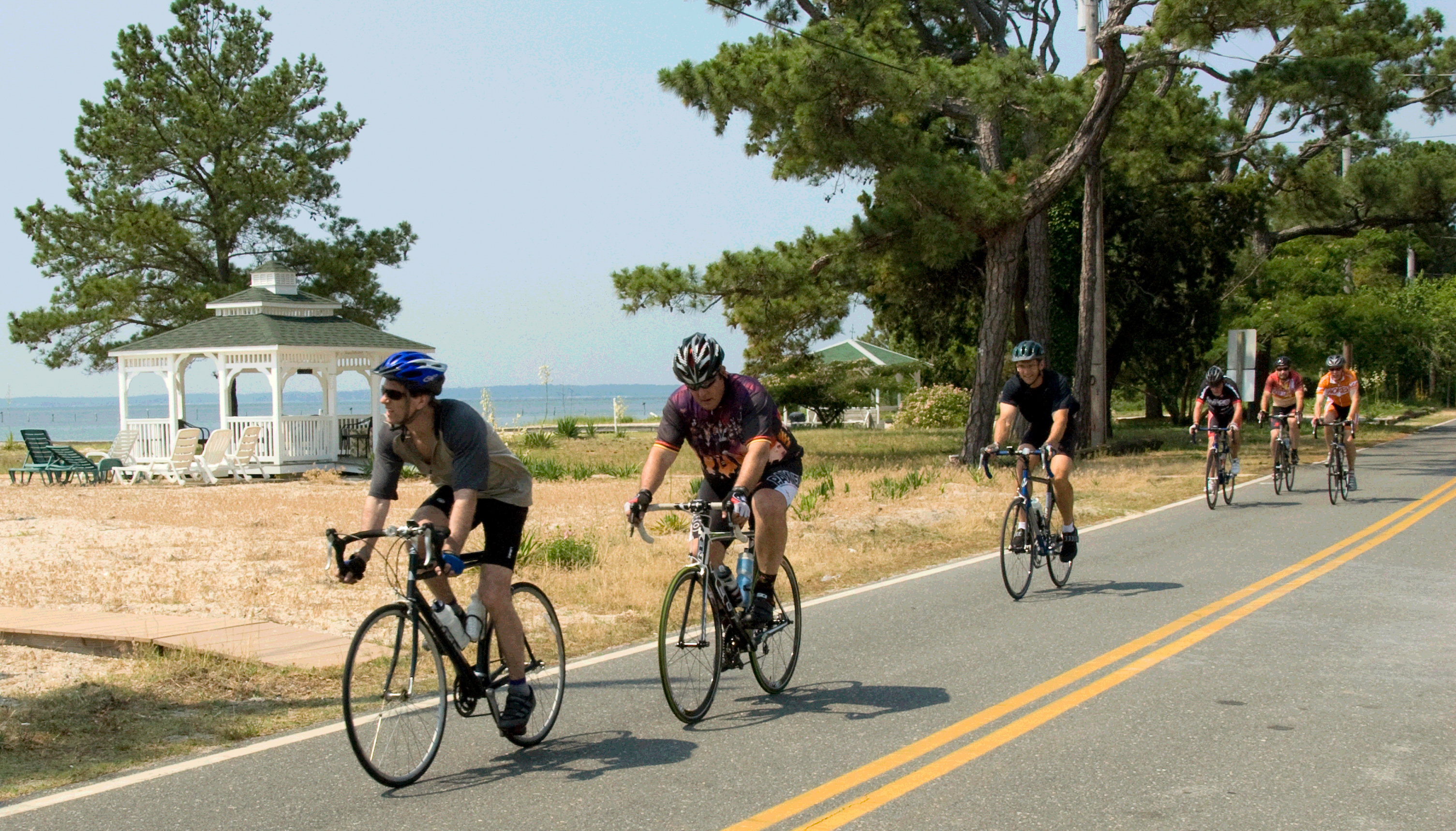
Bicycle between Point Lookout and Leonardtown, MD
Bicycling on a section of the Southern Maryland PHT On-Road Bicycling Route between Point Lookout and Leondardtown, MD