
About Yukon – Charley Rivers National Preserve
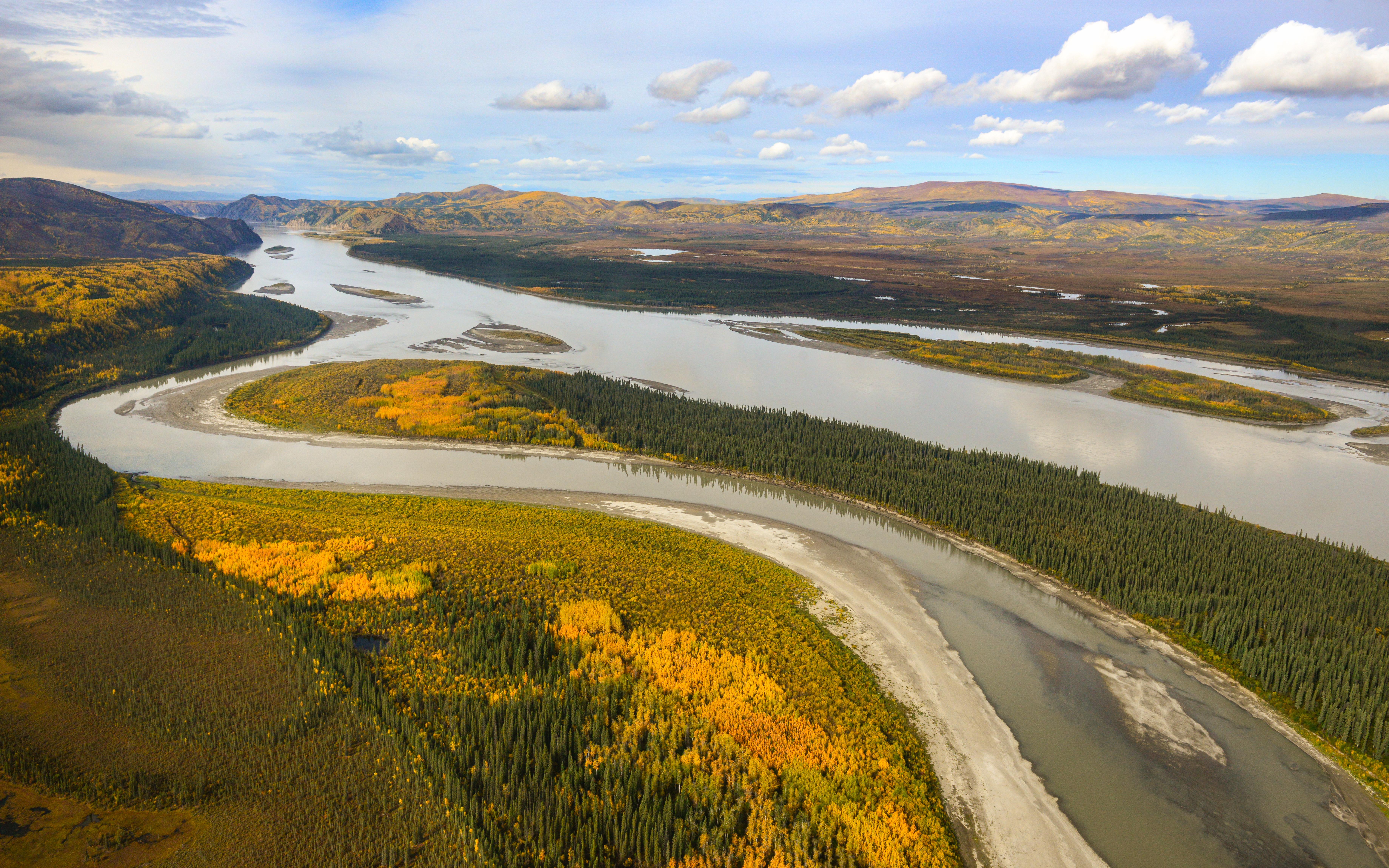
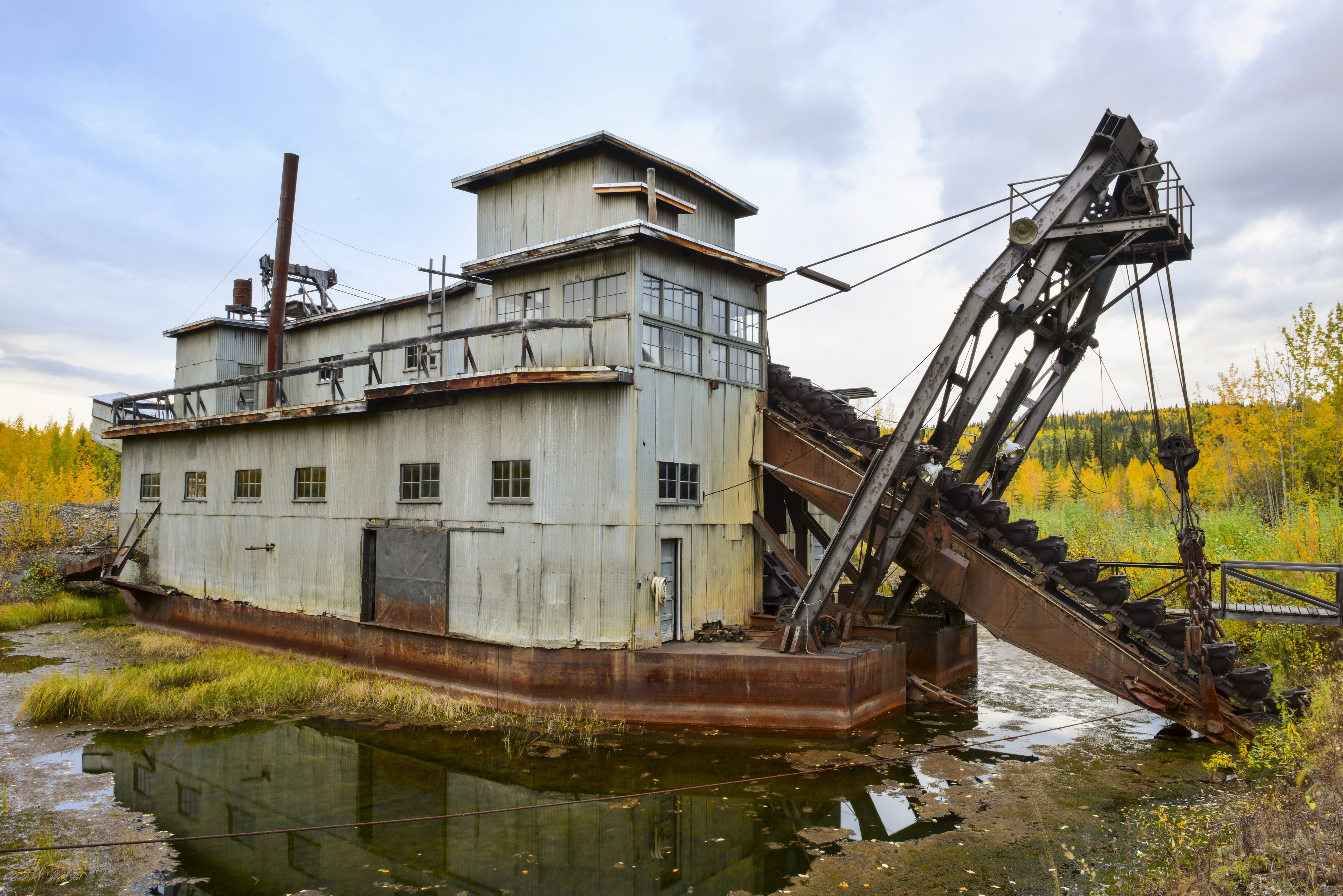
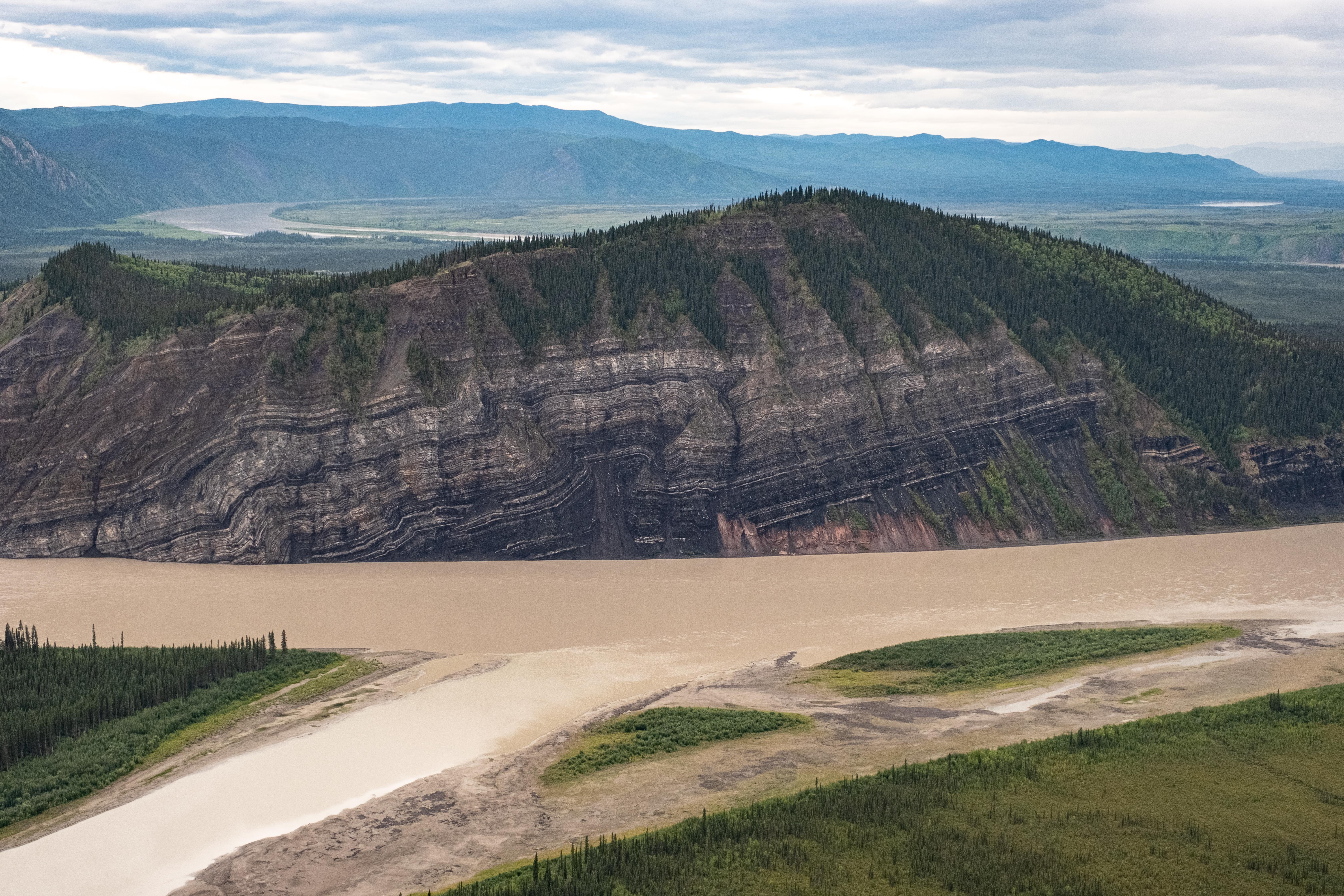
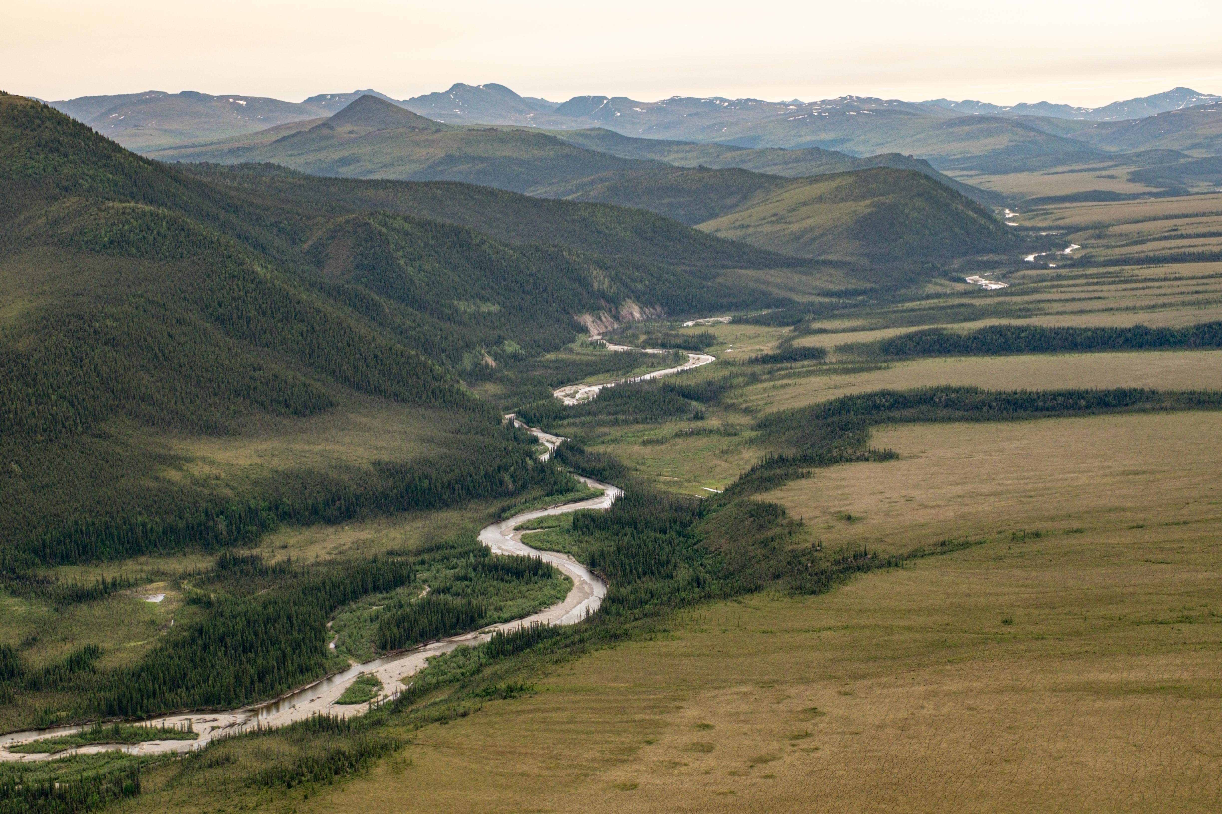
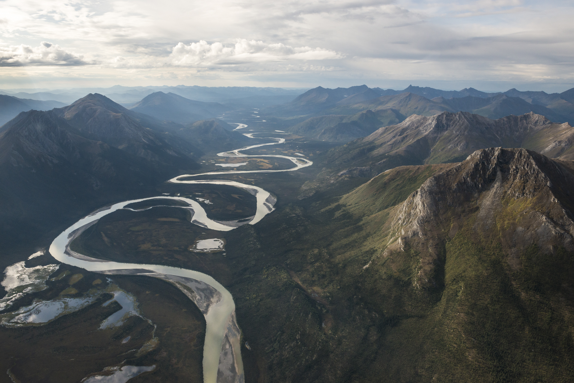
Located in Interior Alaska, Yukon-Charley Rivers offers exploration in a largely untouched landscape. Whether you float the mighty Yukon River or paddle the Charley River's whitewater, your memories will last a lifetime. Geology, cultural history, gold rush remnants, wildlife, and vast scenery will be a part of your experience. But, the strongest element will be solitude. Your adventure awaits.
Plan a Visit
Core visitor information on this page is sourced from the National Park Service. NPD proximity sections use NPS reference coordinates and straight-line distance. Local source bundle updated Sep 27, 2026. View the official NPS page.
Weather & Conditions
The area that Yukon-Charley Rivers encompasses is generally classified as sub-arctic, with exceptionally cold winters, relatively warm summers, low annual precipitation, and generally high winds.
NPS Reference Location
Park state / territory membership: Alaska. This map uses the National Park Service reference coordinate. It may represent an administrative or reference point rather than a park entrance, trailhead, visitor center, or the nearest access point. Use the official NPS directions below when planning travel.
Operating Hours
The preserve is open 24-hours a day
Activities
Current Alerts
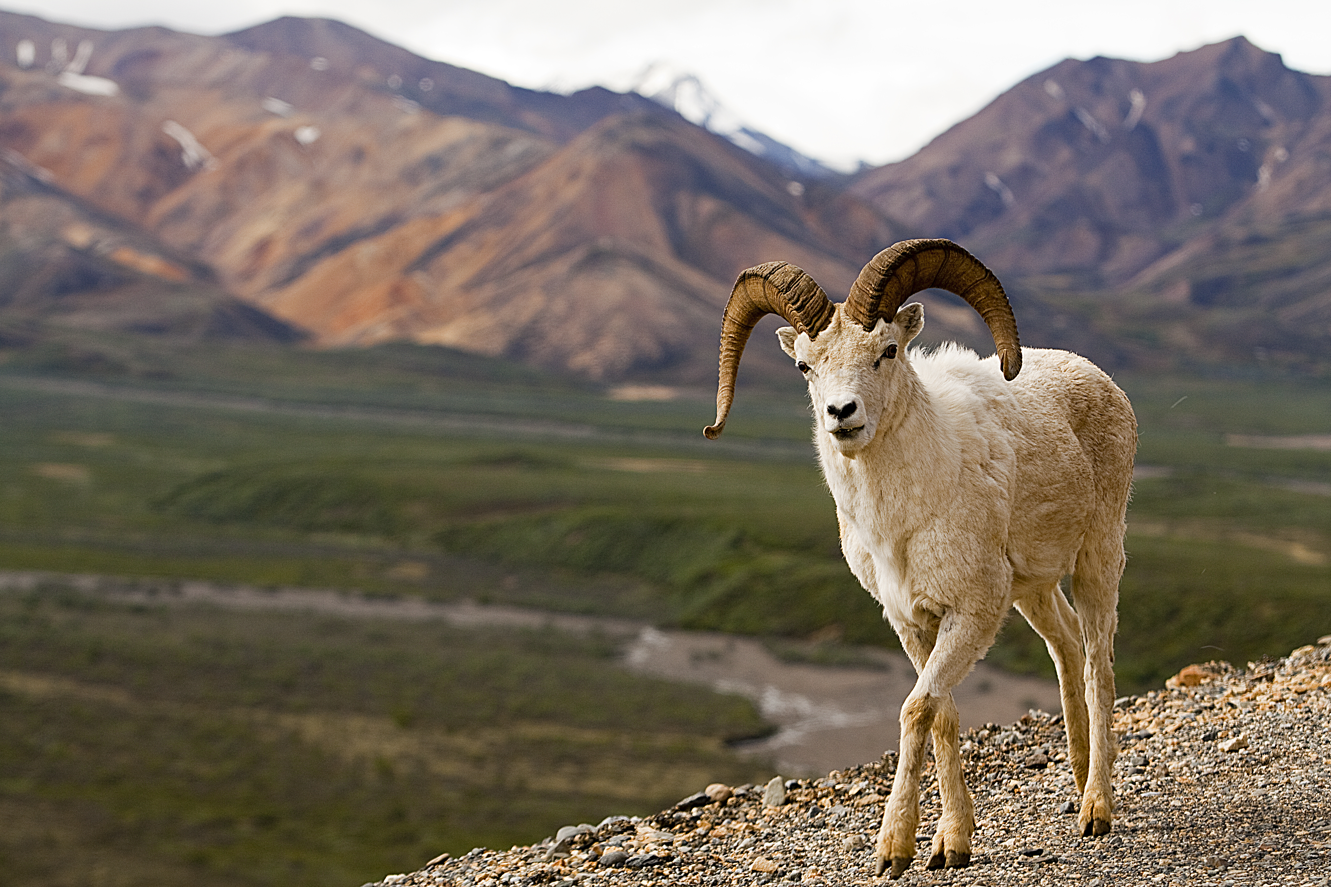
The Federal Subsistence Board closed sheep hunting to all users on Federal public lands within Yukon-Charley Rivers National Preserve and Glacier Mountain Controlled Use Areas Units in 20E and 25C due to significant declines to the sheep population. The authority was granted via WP26-76 on April 24, 2026 and the closure with extend through June 30, 2028.
Getting There
Although there is no direct highway connection to Yukon-Charley Rivers National Preserve, visitors are able to access the preserve by either air travel from Fairbanks, or water or air travel from two small towns on the road system(Eagle and Circle), near the preserve boundaries.
View Official DirectionsContact & Address
The NPS-listed address may be an administrative office, visitor center, mailing/contact location, or other park facility rather than a park entrance.
Topics & Themes
Things To Do

Float the Yukon River
A hyperlapse is a moving timelapse and, in this case, it is of the 100 mile stretch of Yukon River…

Yukon River Public Use Cabins
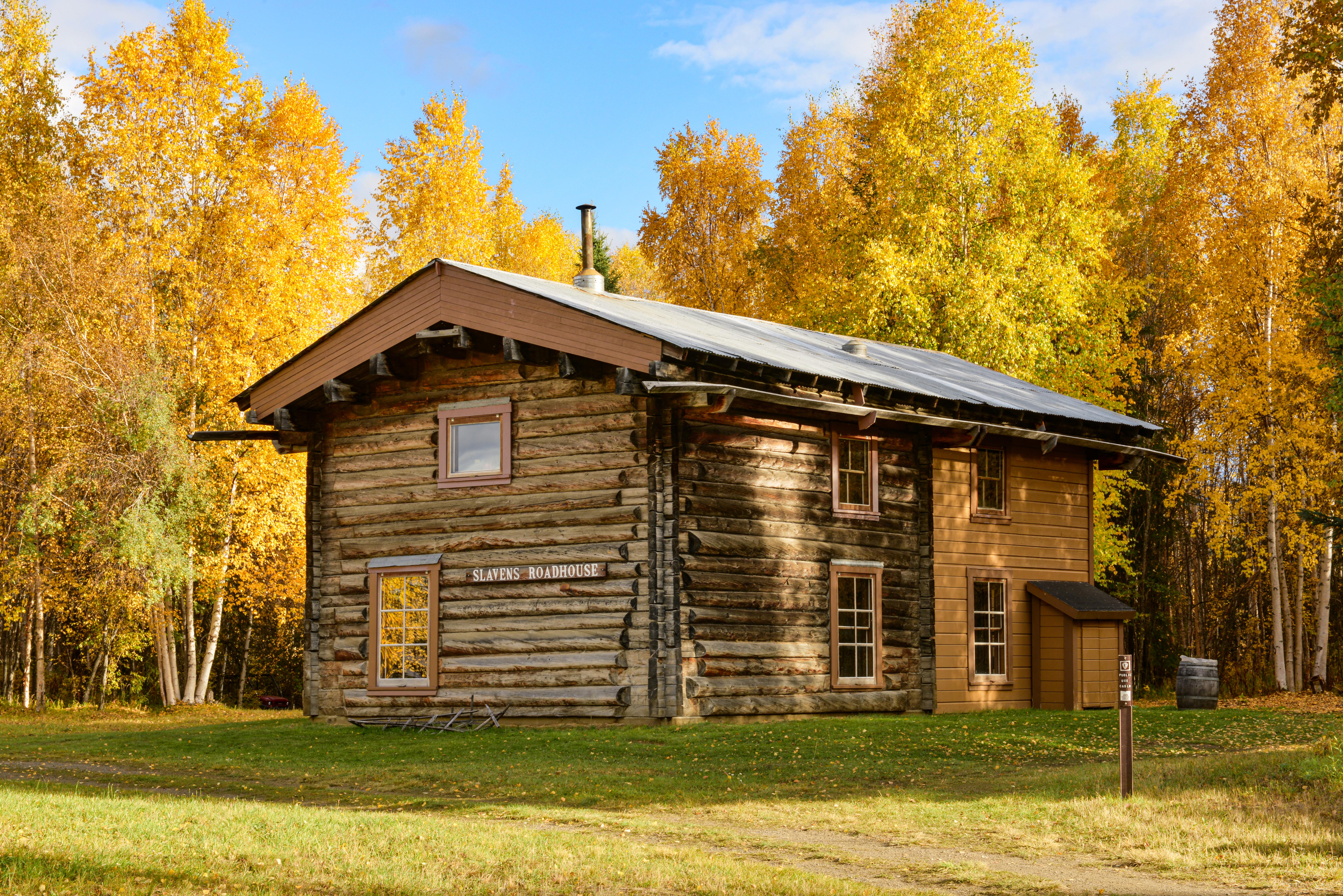
Take yourself back in time with a stay in one of the seven public use cabins that are available on…
Visitor Centers
Fairbanks Alaska Public Lands Information Center
Explore world-class exhibits, watch a free informative movie, and receive assistance on your trip planning needs while at the Alaska Public Lands Information Center, located…
Eagle Visitor Center
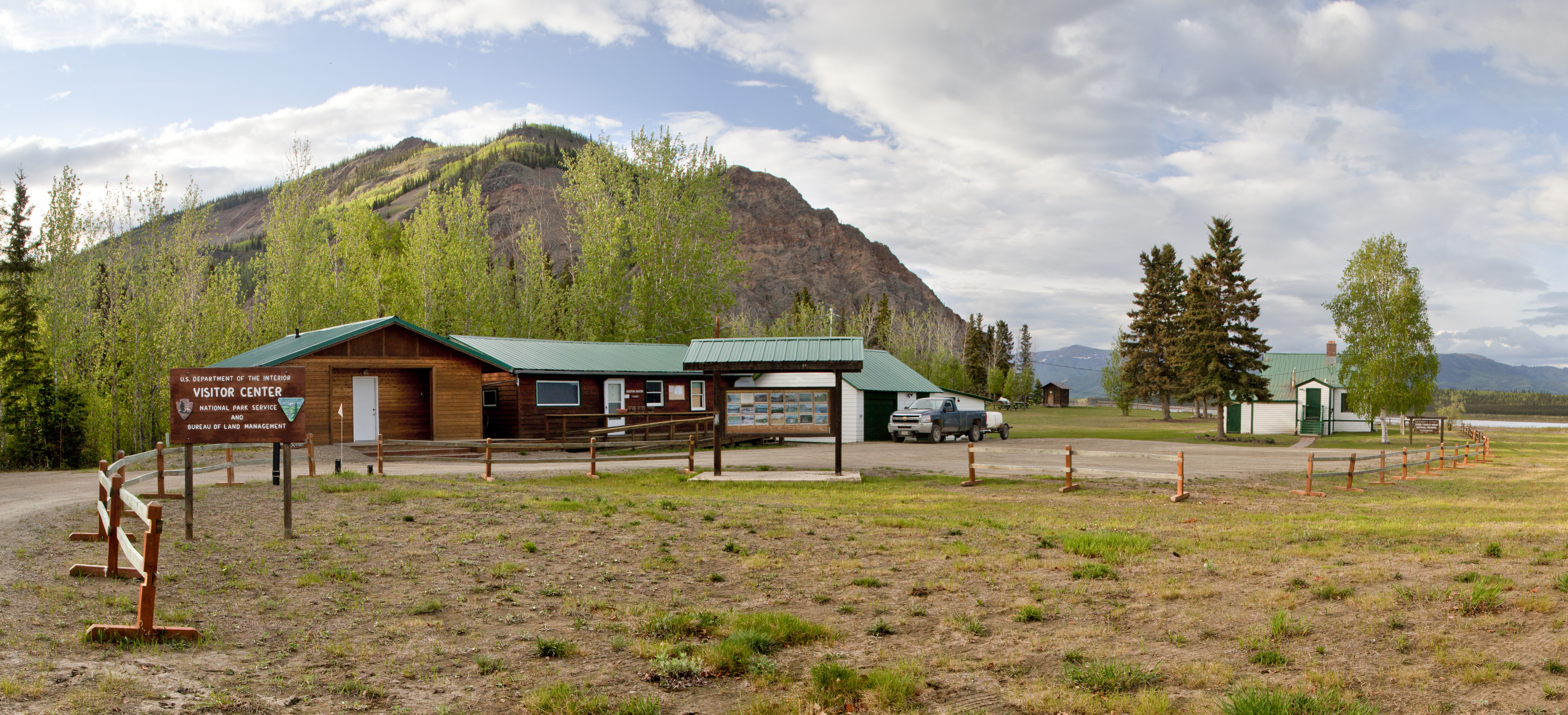
Located along the mighty Yukon River in Eagle, Alaska, this visitor center is the welcome center for those ready to explore Yukon-Charley Rivers National Preserve.…
Nearby National Park Service Sites
These sites are ordered by straight-line distance between NPS reference coordinates. This is useful for comparison, but it is not road mileage. Trails, parkways, rivers, and distributed units may extend far from their reference point.


Nearby Cities for Trip Planning
These cities are ordered by straight-line distance from the NPS reference coordinate. They are comparison starting points, not official park gateways or road-distance estimates. Trails and other distributed units may extend far beyond this reference point.
🗺️ Guided Tours & Experiences
Discover Yukon – Charley Rivers National Preserve with expert-led tours
We earn a commission if you make a purchase, at no additional cost to you.
🏨 Search Lodging for Yukon – Charley Rivers National Preserve
Review lodging results matching this park or site name
We earn a commission if you make a purchase, at no additional cost to you.