

About Voyageurs National Park
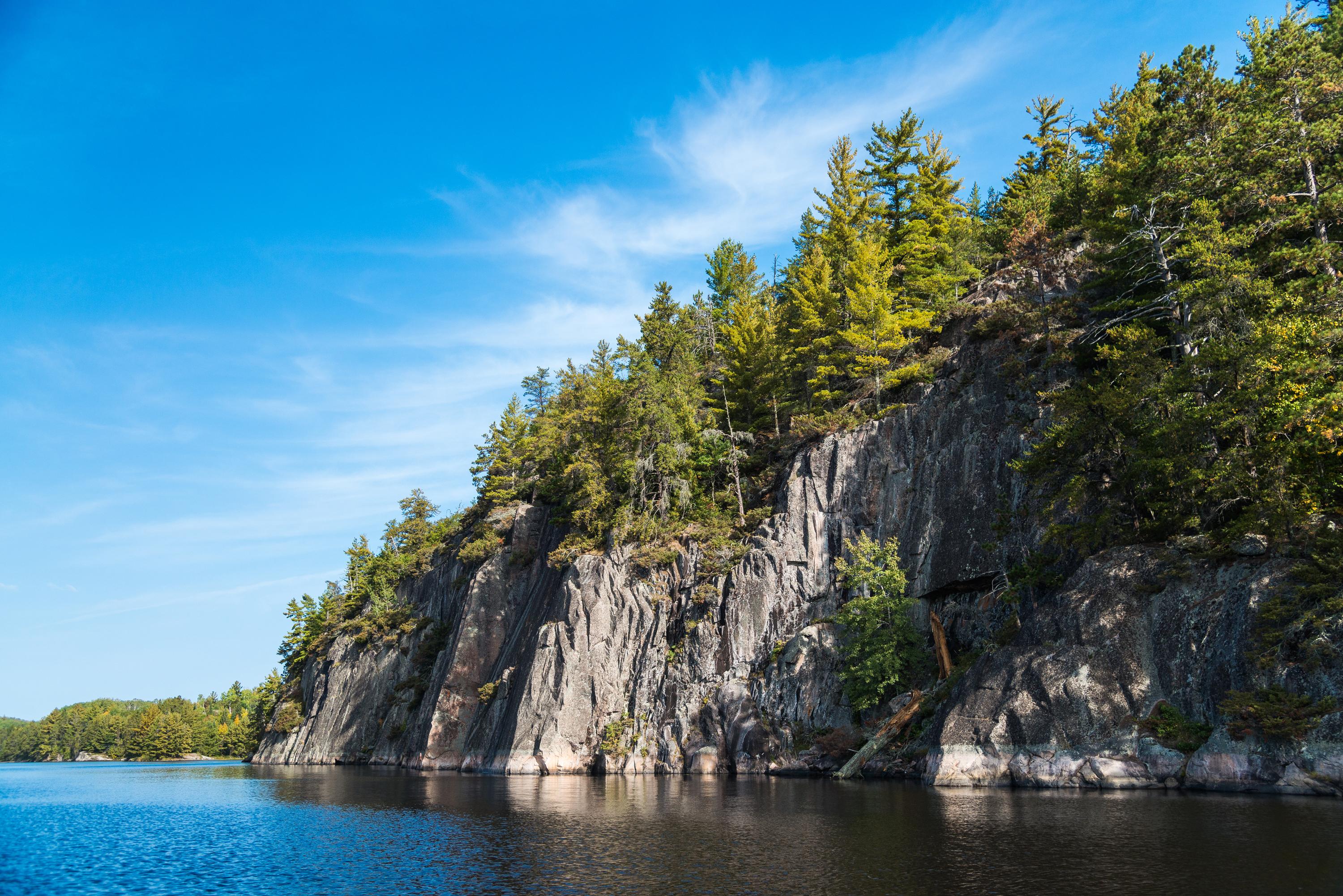
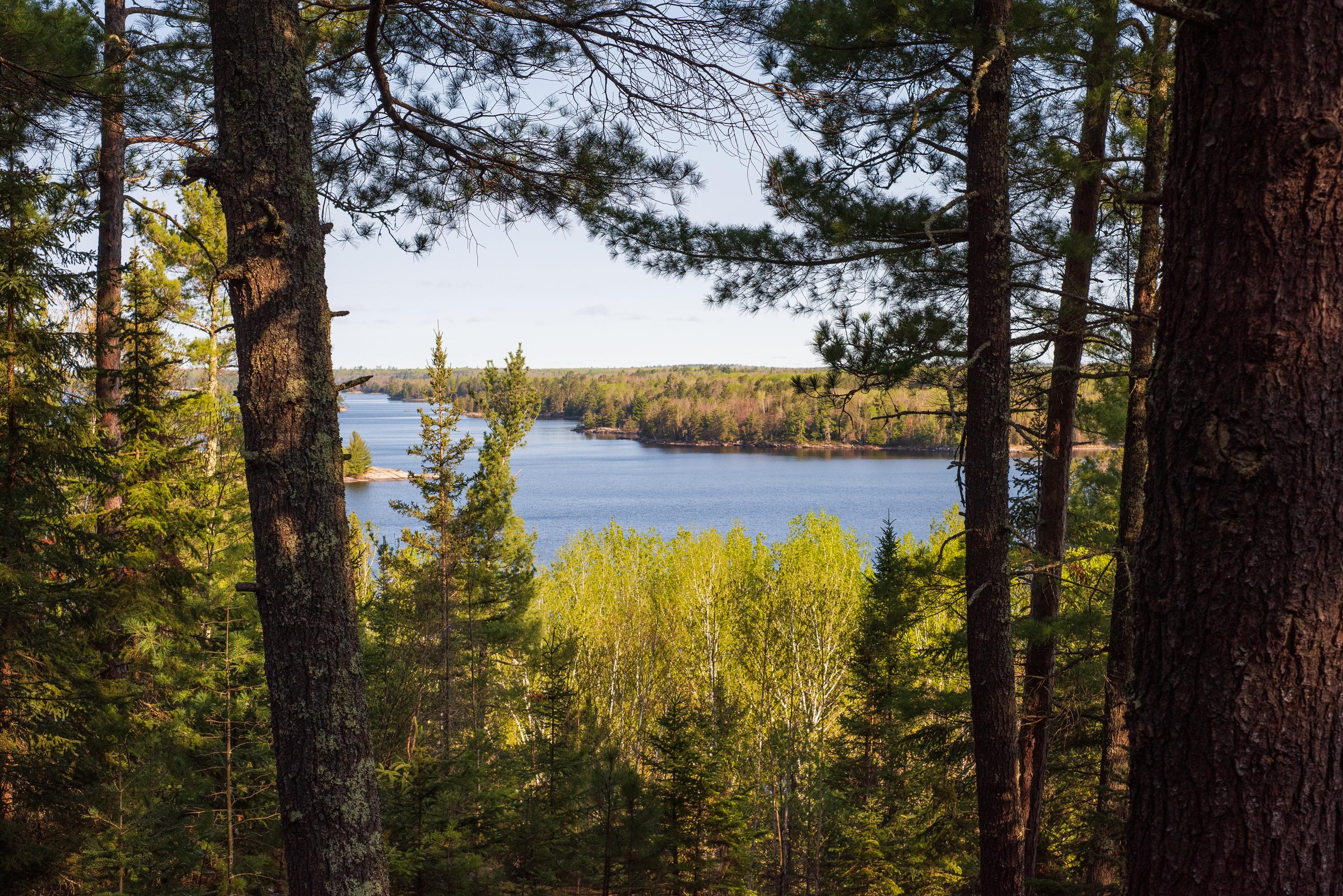
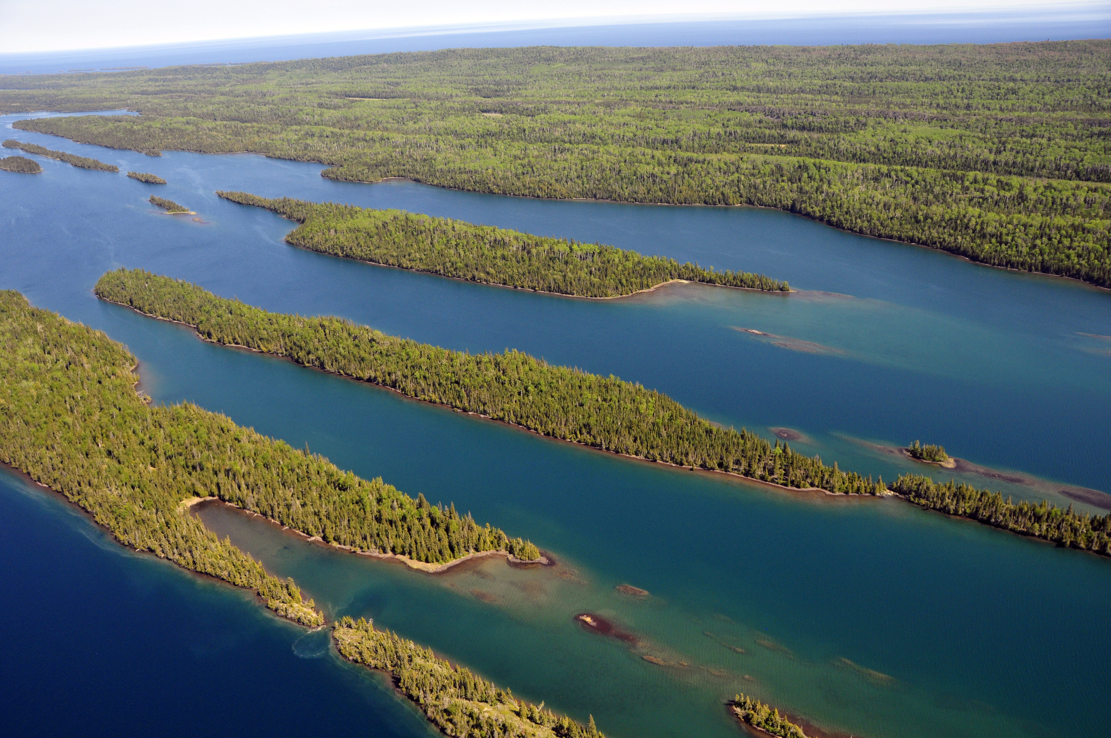
Voyageurs National Park spans 218,000 acres of lakes, forests, and streams in northern Minnesota. Established in 1975, the park is named after the French-Canadian Voyageurs who once navigated these abundant waters. Voyageurs National Park provides exceptional opportunities for recreation and exploration amidst landscapes rich in natural beauty, history, and cultural heritage.
Plan a Visit
Core visitor information on this page is sourced from the National Park Service. NPD proximity sections use NPS reference coordinates and straight-line distance. Local source bundle updated Sep 27, 2026. View the official NPS page.
Weather & Conditions
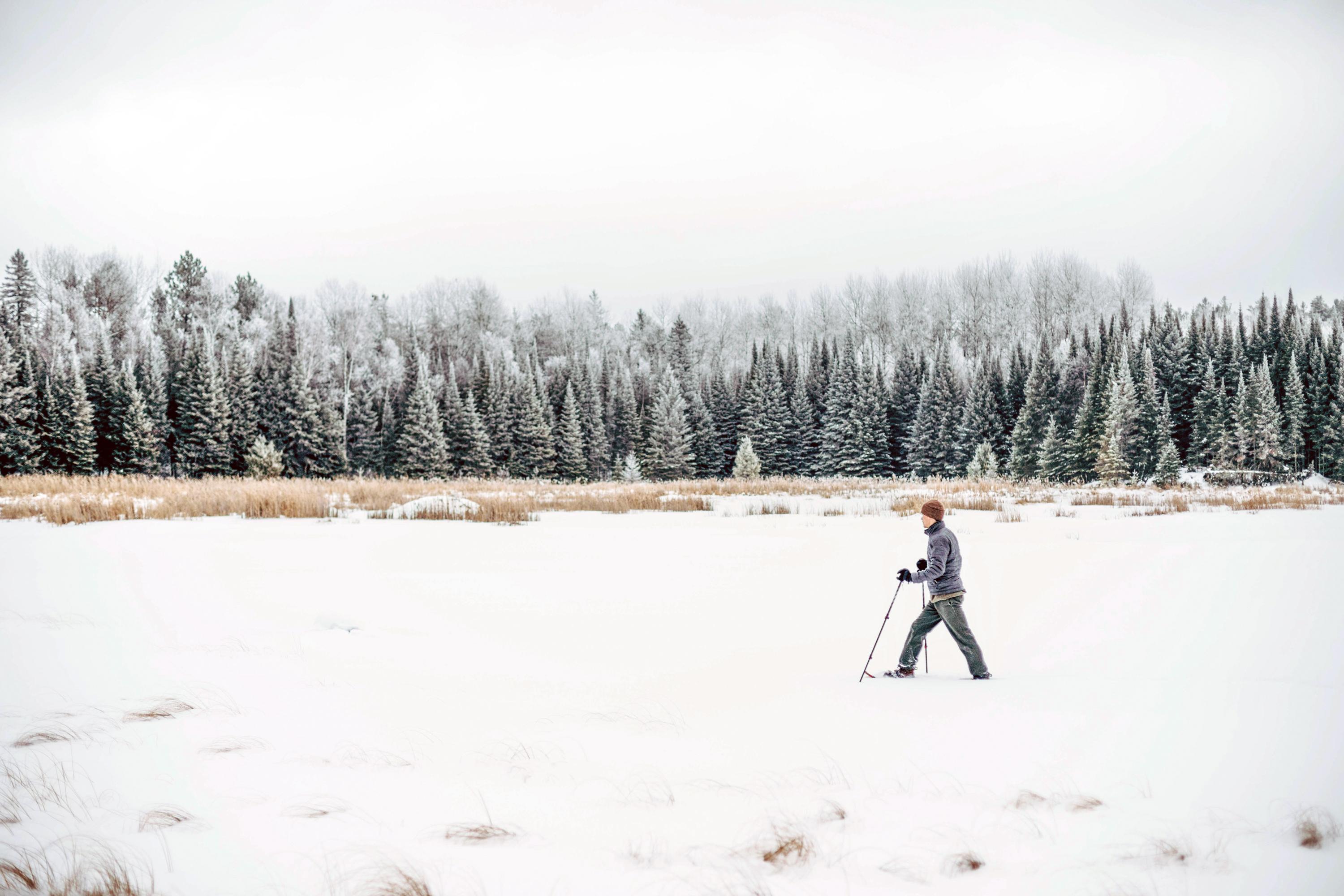
There are four distinct seasons in Voyageur country. During June, July, and August periods of fine, mild weather prevail. The frost-free season averages 120 days from June to mid-September. The average ice-out date is May 3. The first measurable snowfall occurs in late October and the last in late April…
NPS Reference Location
Park state / territory membership: Minnesota. This map uses the National Park Service reference coordinate. It may represent an administrative or reference point rather than a park entrance, trailhead, visitor center, or the nearest access point. Use the official NPS directions below when planning travel.
Operating Hours
Voyageurs is open 24-hours a day year-round, although activities and services are limited after visitor center hours. Please note that early spring and late fall may present hazards on the lake with thin ice; use caution.
Activities
Current Alerts
Due to unsafe bear‑human interactions, all of the Dryweed Island area's campsites, houseboat sites, and day use sites are closed. See below for a full list of sites covered by the closure. This time of year typically brings increased bear activity throughout the park. Visitors should remain bear aware and follow all food‑storage requirements.
Getting There
Voyageurs National Park is located in Northern Minnesota near the Canadian border. Access to Voyageurs is available from many points along Rainy Lake, Kabetogama Lake, Ash River, Crane Lake, and Orr/Pelican Lake. The park's visitor centers and many trails can be reached by car, but much of Voyageurs is best explored by boat. All campsites in the park, except primitive, require a boat to reach.
View Official DirectionsContact & Address
The NPS-listed address may be an administrative office, visitor center, mailing/contact location, or other park facility rather than a park entrance.
Topics & Themes
Things To Do
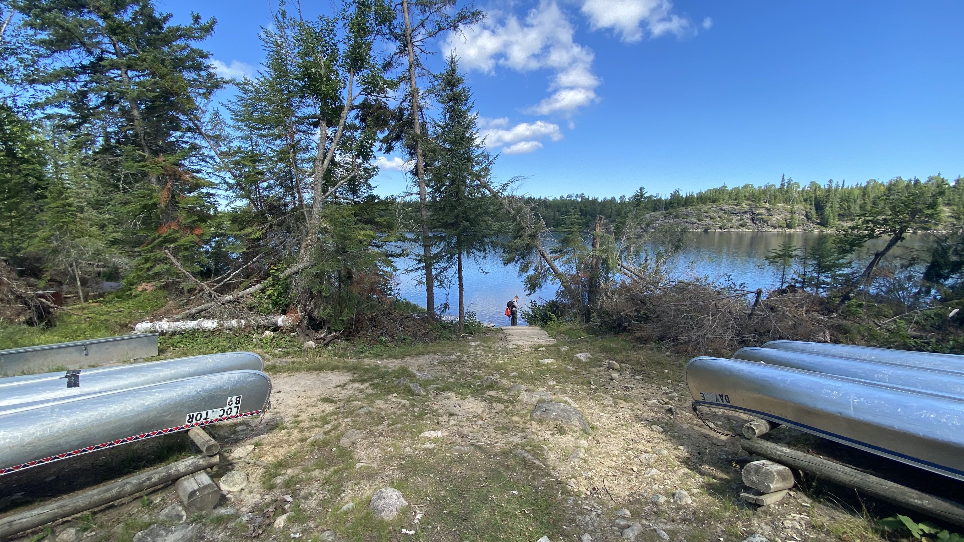
Hike the Locator Lake Trail
Please note: The Cranberry Creek Portage Trail into Locator Lake from Rainy Lake has been permanently closed. Explore this two-mile, one-way…
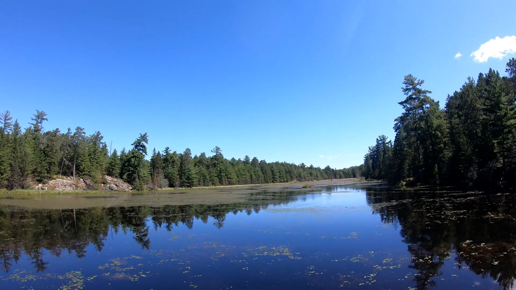
Hike Black Bay Beaver Pond Trail
Take a boat one mile from the visitor center and hike this trail through northern pine country to a scenic,…
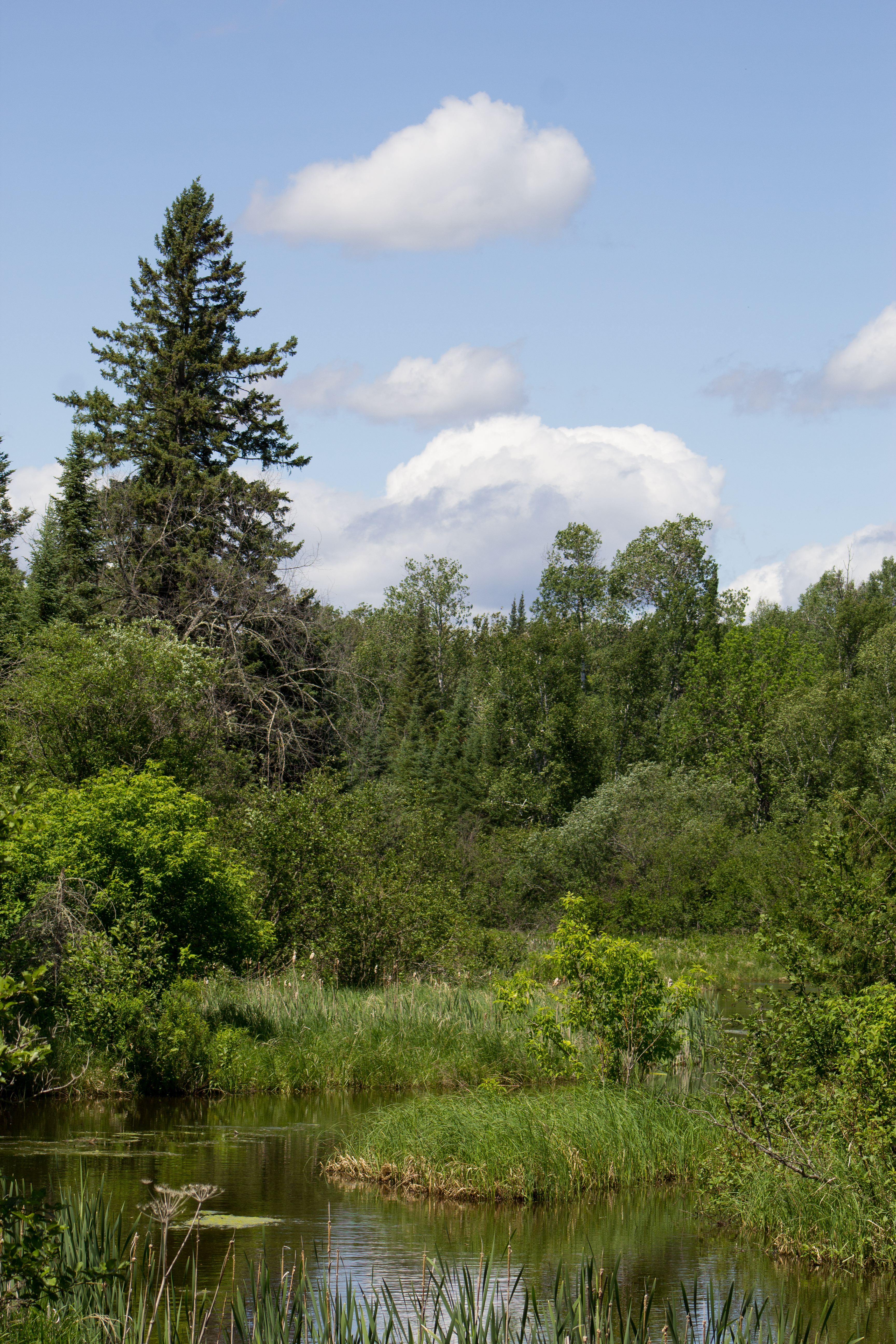
Hike Kab-Ash Trail
Please note: The Salmi Road entrance to the Kab-Ash Trail in the Kabetogama community is closed (click to see map).…
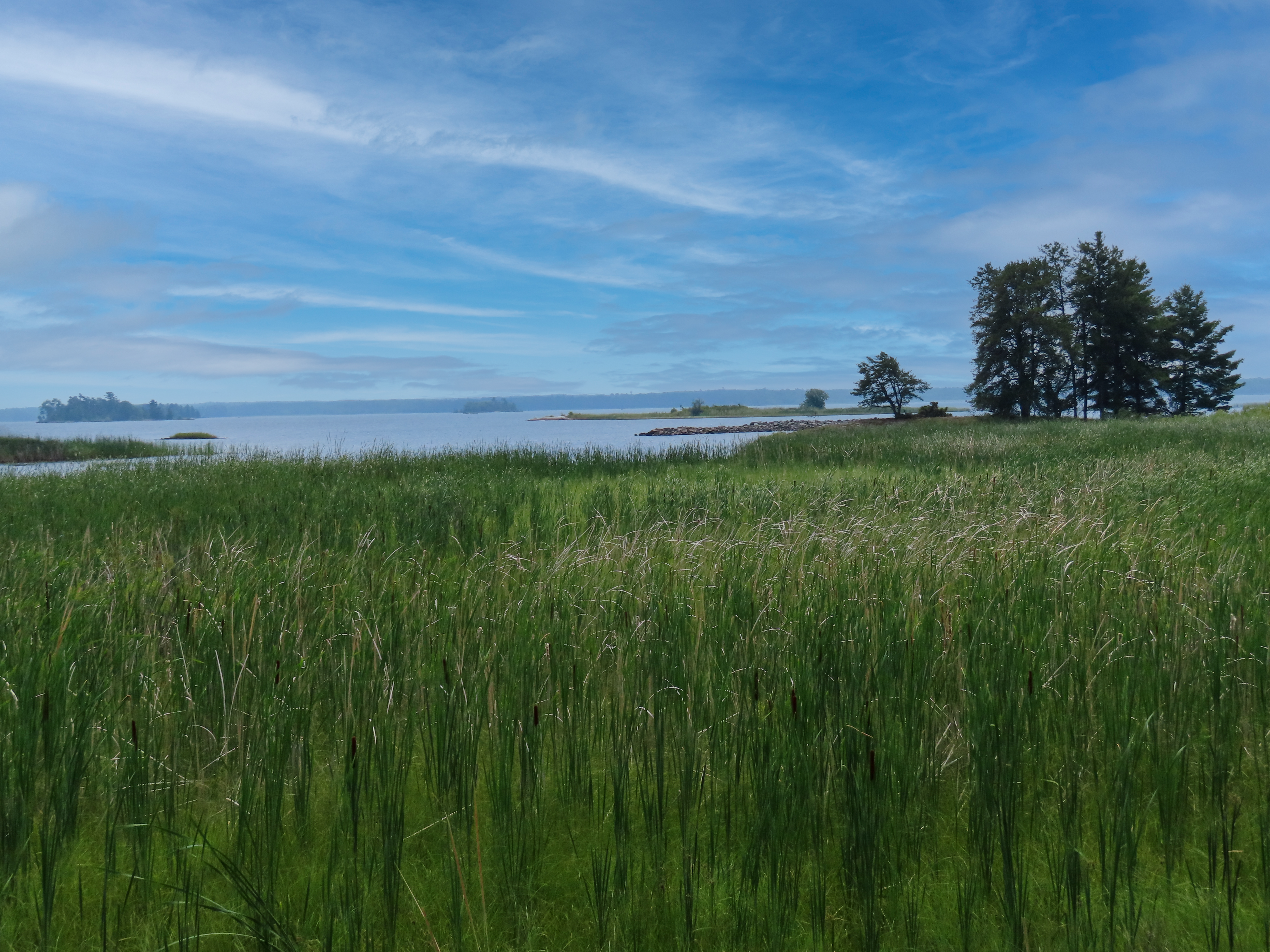
Hike the Oberholtzer Trail
Wander through deciduous and conifer forest as the trail twists around the edge of a cattail filled wetland and past…
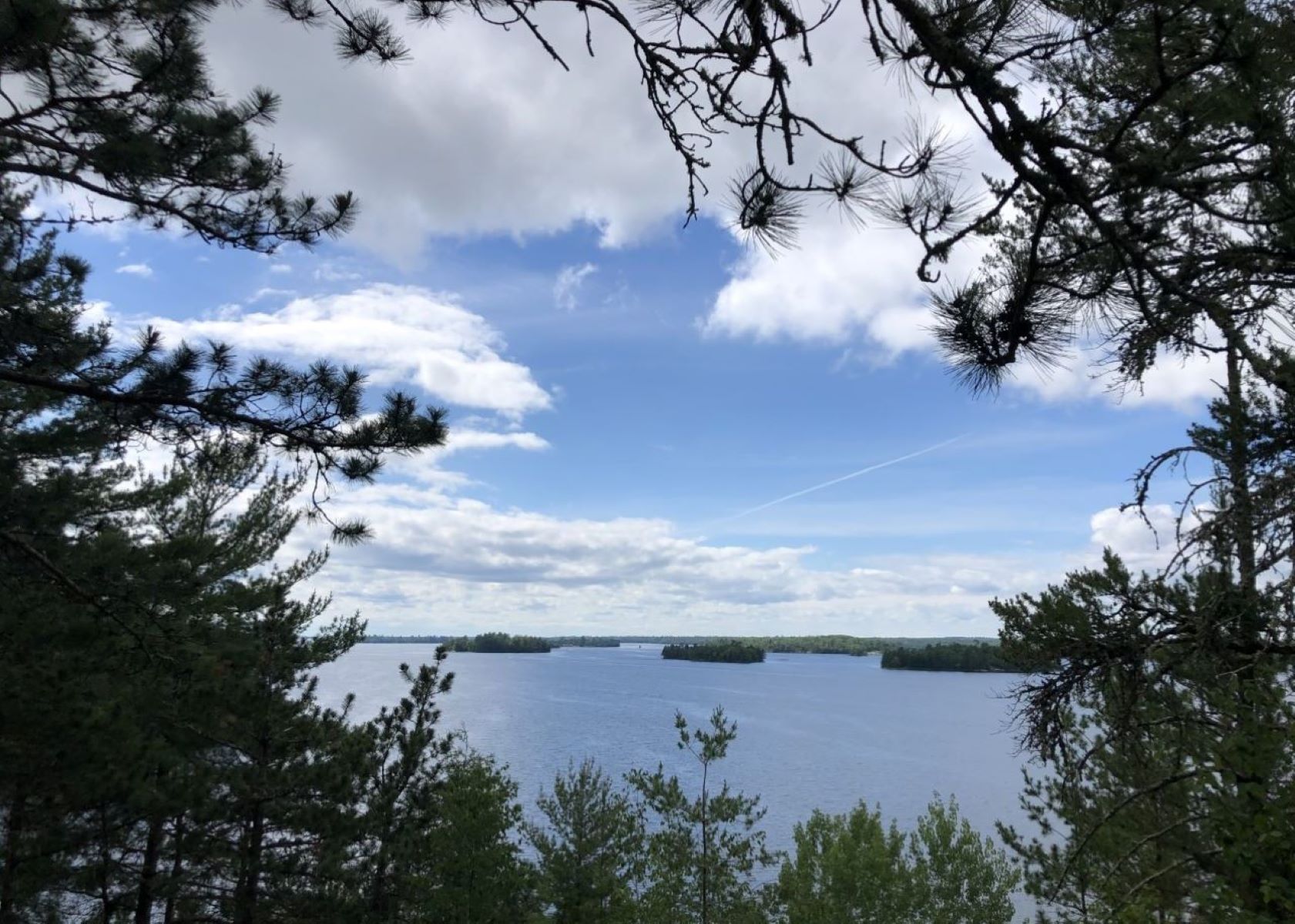
Hike Blind Ash Bay Trail
This narrow, winding, rocky trail exposes users to the wonders of the boreal forest. This path is great for birding, it is…
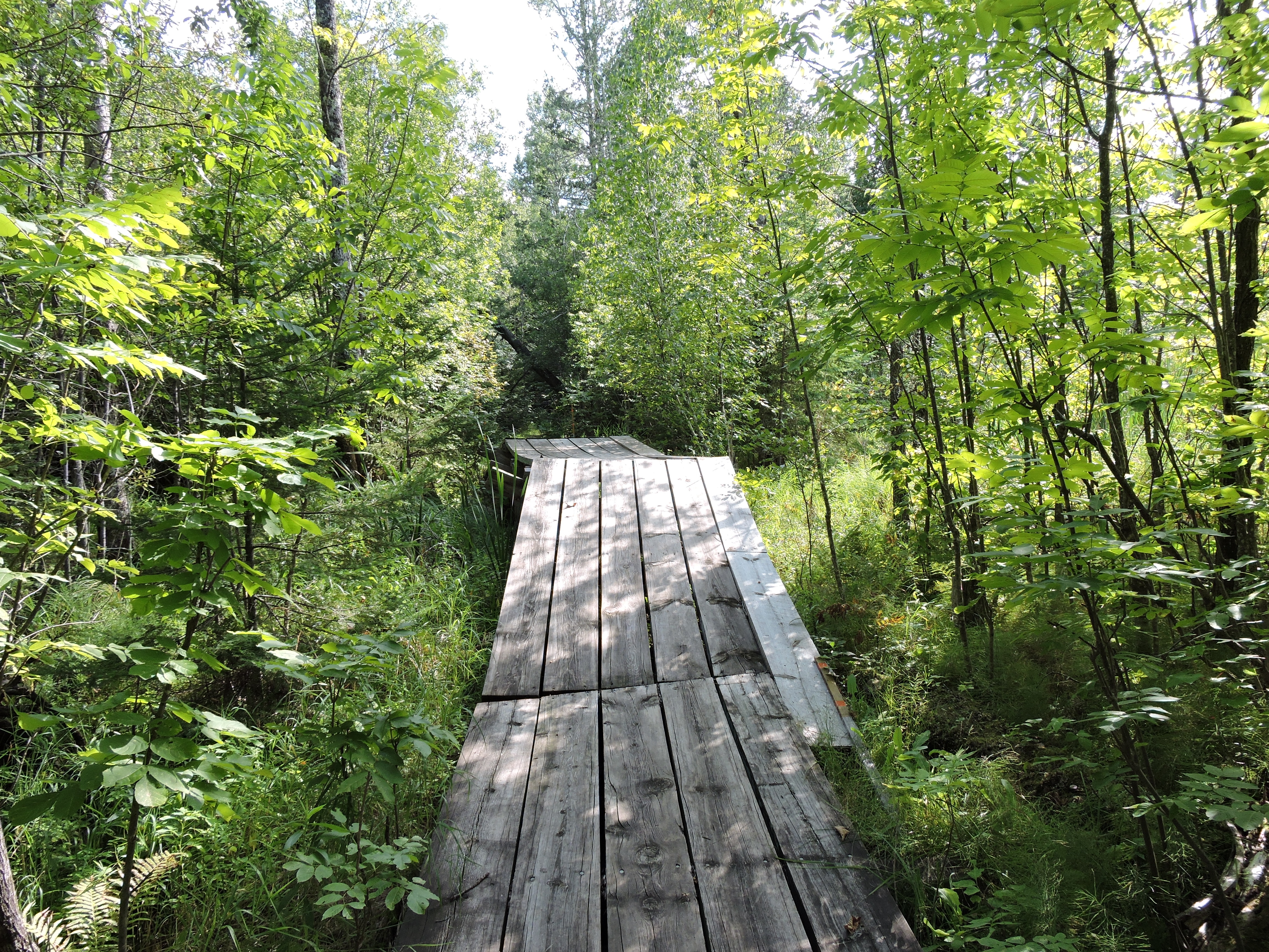
Hike Echo Bay Trail
This wide trail showcases the transition between deciduous and boreal forests as you pass through lowlands and rocky outcrops. With…
More Things to Do
Additional activities and experiences from the National Park Service.
Rainy Lake Recreation Trail
The Rainy Lake Recreation Trail offers visitors a peaceful experience as it meanders along the park road, into the woods, and around…
Hike the Sullivan Bay Trail
This easy hike along an old forest road leads you through both coniferous and deciduous forest. The trail ends at a viewpoint on…
Hike Beaver Pond Overlook Trail
A short uphill hike through an aspen and pine forest leads to a rocky outcrop high above a beaver pond. Although beavers are…
Hike Voyageurs Forest Overlook Trail
This short trail takes you through a section of forest revealing the changes in the forest at different elevations. Growing trees have…
Voyageurs' Tilson Connector Trail
This trail accessible year-round. Once sufficient snowfall accumulates, the trail will continue be groomed for classic, cross country skiing that leads to…
Hike the Mukooda Trail
Accessible only by boat, the Mukooda Trail meanders through a mix of deciduous and coniferous forest and over rocky ridges, scraped bare…
Hike the Cruiser Lake Trail
This rugged trail crosses over the peninsula, up rocky cliffs and down into remote wetland areas. See parts of the park many…
Hike Kabetogama Lake Overlook Trail
This short handicap accessible trail takes you through a pine forest to a viewpoint where you can sit on a bench and…
Hike Anderson Bay Loop
This trail takes you through the forest past rocky clearings and beaver ponds to spectacular views of Rainy Lake form the shoreline…
Go sledding on Sphunge Island
Visitors will find picnic tables and a fire ring at the bottom of the hill near the sledding hill parking lot. The…
Stargazing at Voyageurs National Park
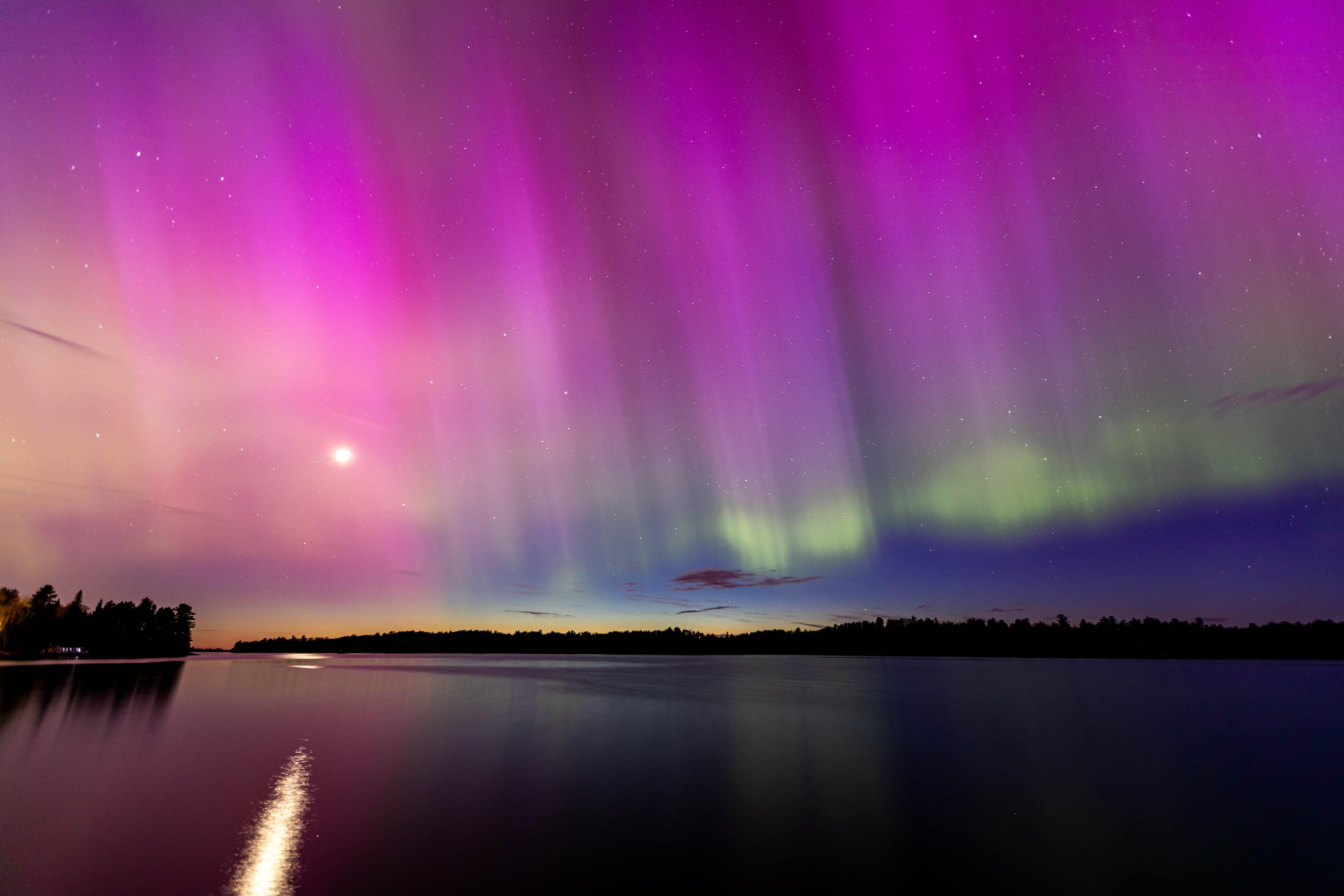
Come see the night skies at Voyageurs National Park. We have been recognized as an International Dark Sky Park because of the…
Paddle through Blind Ash Bay
Explore the rocky shoreline and a calm bay with your canoe or kayak. From the paddle launch head west one mile between…
Showing 18 of 26 NPS Things to Do records available for Voyageurs National Park.
Visitor Centers
Rainy Lake Visitor Center
The closest visitor center to International Falls, the Rainy Lake Visitor Center hours of operation vary with the season. The visitor center offers an exhibit…
Kabetogama Lake Visitor Center
Nestled along the southwest shoreline of Kabetogama Lake, the visitor center is in the small community of Kabetogama. The Kabetogama Lake Visitor Center is open…
Ash River Visitor Center
The Ash River Visitor Center is open during our summer season from late May to late September. Ash River Visitor Center is closed over the…
Crane Lake Visitor Center
Located in the town of Crane Lake, the newest visitor center at Voyageurs National Park features an exhibit area, seating, an information desk, and a…
Nearby National Park Service Sites
These sites are ordered by straight-line distance between NPS reference coordinates. This is useful for comparison, but it is not road mileage. Trails, parkways, rivers, and distributed units may extend far from their reference point.
Nearby Cities for Trip Planning
These cities are ordered by straight-line distance from the NPS reference coordinate. They are comparison starting points, not official park gateways or road-distance estimates. Trails and other distributed units may extend far beyond this reference point.
🗺️ Guided Tours & Experiences
Discover Voyageurs National Park with expert-led tours
We earn a commission if you make a purchase, at no additional cost to you.
🏨 Search Lodging for Voyageurs National Park
Review lodging results matching this park or site name
We earn a commission if you make a purchase, at no additional cost to you.