
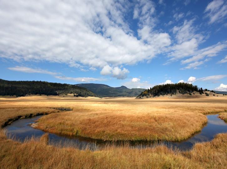


About Valles Caldera National Preserve
About 1.2 million years ago, a spectacular volcanic eruption created a 14-mile-wide circular depression in the earth now known as Valles Caldera. The preserve is known for its huge mountain meadows, abundant wildlife, and meandering streams. The area also preserves the homeland of ancestral native peoples and embraces a rich ranching history.
Plan a Visit
Core visitor information on this page is sourced from the National Park Service. NPD proximity sections use NPS reference coordinates and straight-line distance. Local source bundle updated Sep 27, 2026. View the official NPS page.
Weather & Conditions
Each season offers a different experience: lush springs, moderate summers, golden falls, and snowy winters. Average temperatures are 22°F (-6 C) in January and 60°F (16 C) in July. Temperature extremes range from a high of 84°F (29 C) in summer to -30°F (-34C) in winter. Precipitation is heavier during…
NPS Reference Location
Park state / territory membership: New Mexico. This map uses the National Park Service reference coordinate. It may represent an administrative or reference point rather than a park entrance, trailhead, visitor center, or the nearest access point. Use the official NPS directions below when planning travel.
Entrance Fees
The entrance fee for a private vehicle covers seven consecutive days of entrance to Valles Caldera National Preserve.
Valid for 7 days. Admits up to 2 private, non-commercial motorcycles with up to 4 total passengers.
The per-person entrance fee covers seven consecutive days of entrance to Valles Caldera National Preserve.
Operating Hours
Valle Grande Main Entrance is located at mile marker 39.2 along New Mexico Highway 4.
Activities
Current Alerts
Valles Caldera's backcountry road system opens to vehicles on Friday, May 15, 2026. Forty vehicles passes will be issued per day through November 15, when the route closes for the 2026 season. Passes may be reserved up to 3 months in advance at Recreation.gov. Any remaining daily passes will be available on a first come, first served basis in the Volcano Discovery Center.
The VC09/South Valle Toledo/Posos Trail from the Valle Toledo parking area to the eastern park boundary is closed for restoration. The NPS is working on a trail reroute and will provide details as soon as possible.
Getting There
From Jemez Springs, NM: Follow NM-4 north. The Preserve is about 22 miles from Jemez Springs. Look for the Main Gate and signs at Mile Marker 39.2. From Los Alamos, NM: Take Trinity Drive to Diamond. Take a left on Diamond, then a right on West Jemez Road to the intersection with NM-4. Take a right [away from Bandelier National Monument], following the highway up and into the Jemez Mountains. The Preserve is 18 miles up NM-4 from Los Alamos. Look for the Main Gate and signs at Mile Marker 39.2.
View Official DirectionsContact & Address
The NPS-listed address may be an administrative office, visitor center, mailing/contact location, or other park facility rather than a park entrance.
Entrance Passes
Beginning January 1, 2025, visitors may purchase an annual park pass for Valles Caldera National Preserve.
Topics & Themes
Things To Do
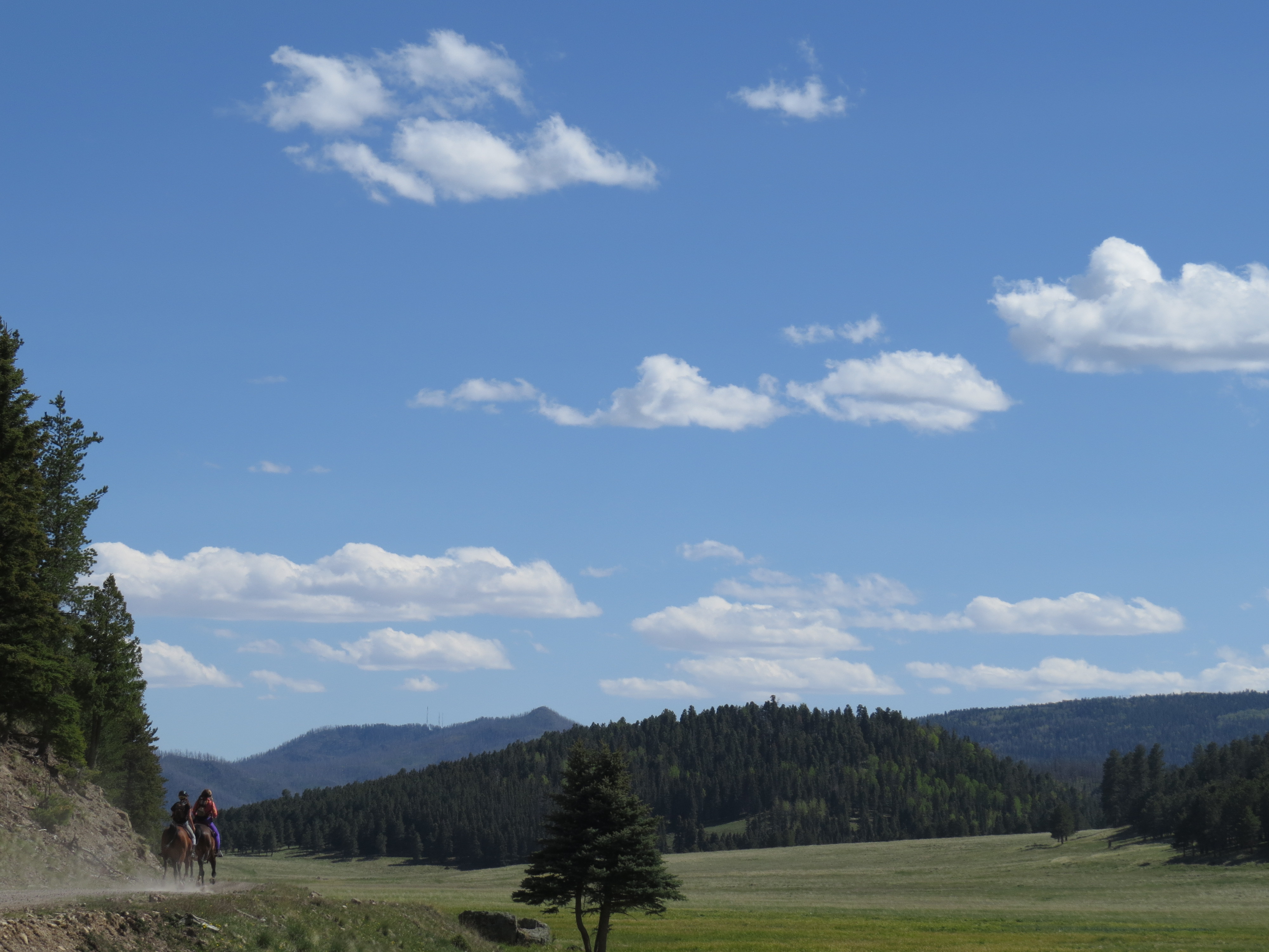
Horseback Riding in Valles Caldera
With Valles Caldera's rich ranching history, horses have been part of this landscape for over 100 years. Learn about how…
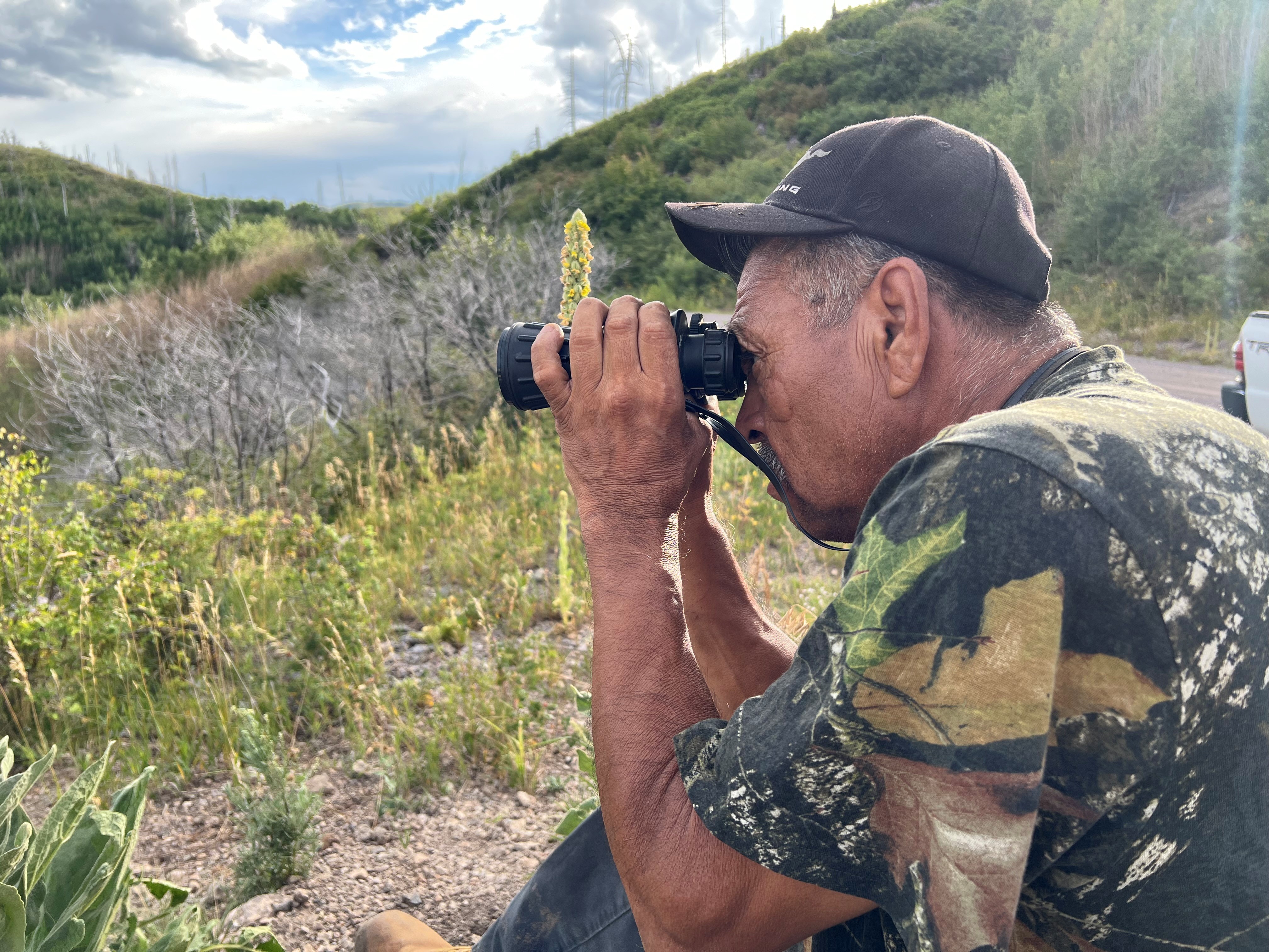
Hunting in Valles Caldera
Valles Caldera National Preserve is one of New Mexico's premier elk hunting locations. Between 2,500 and 3,000 elk occupy the…
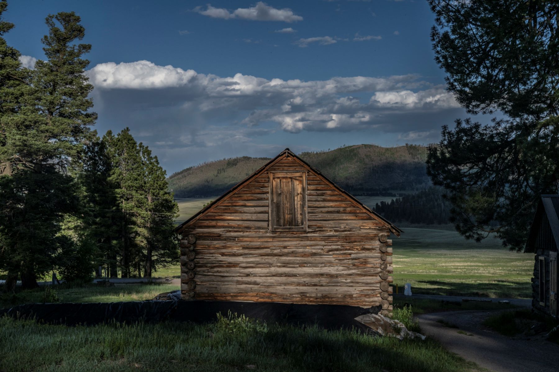
Take a Self-Guided Tour of the Cabin District
This self-guided audio tour walks through a day in the life of a seasonal worker at the Baca Ranch in the 20th…
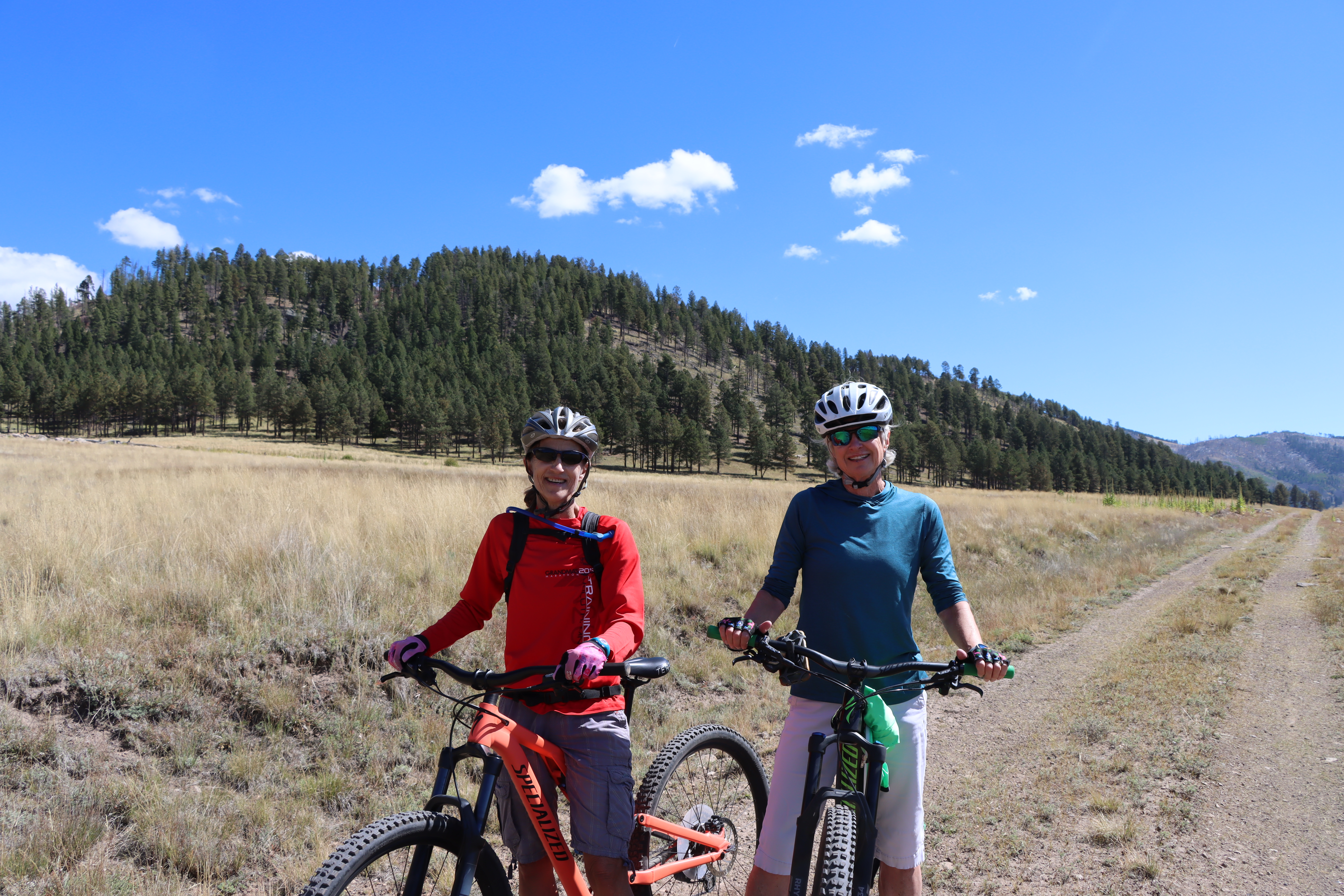
Bike the Valle Grande Loop
This bike route loops around Valle Grande, providing spectacular views along the entire route.
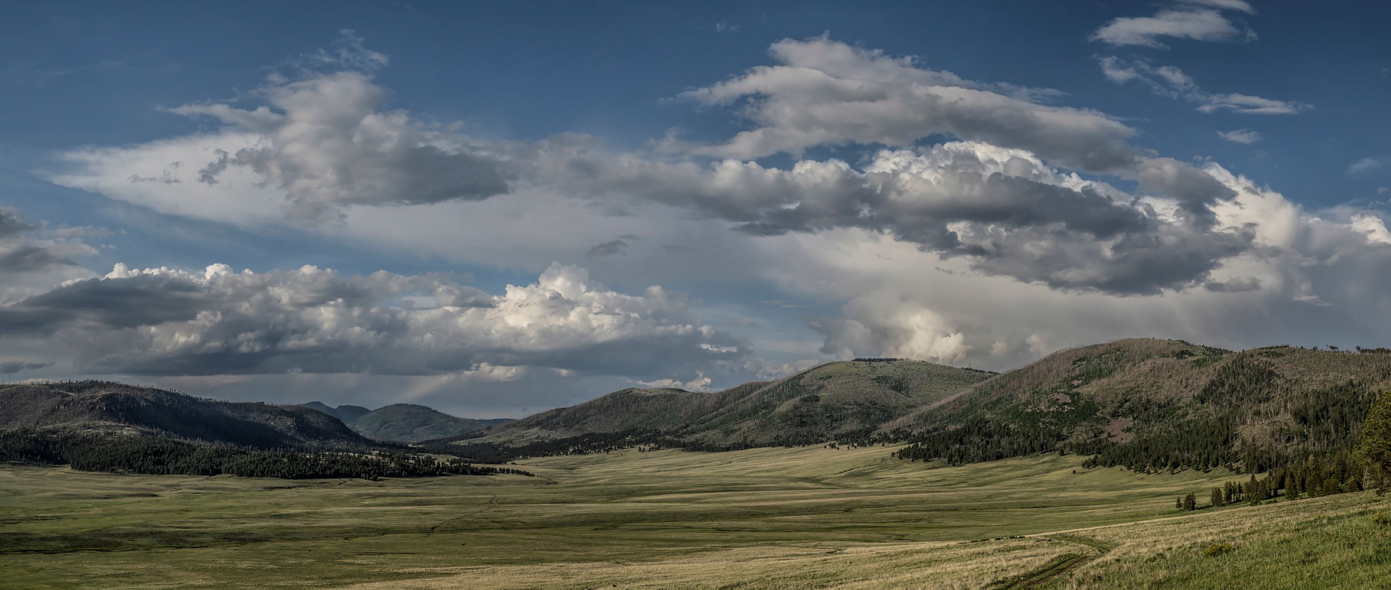
Take a Scenic Drive through Valle Grande
The Valles Caldera Entrance Road is a scenic, four-mile-long gravel road through the heart of Valle Grande. This drive offers…
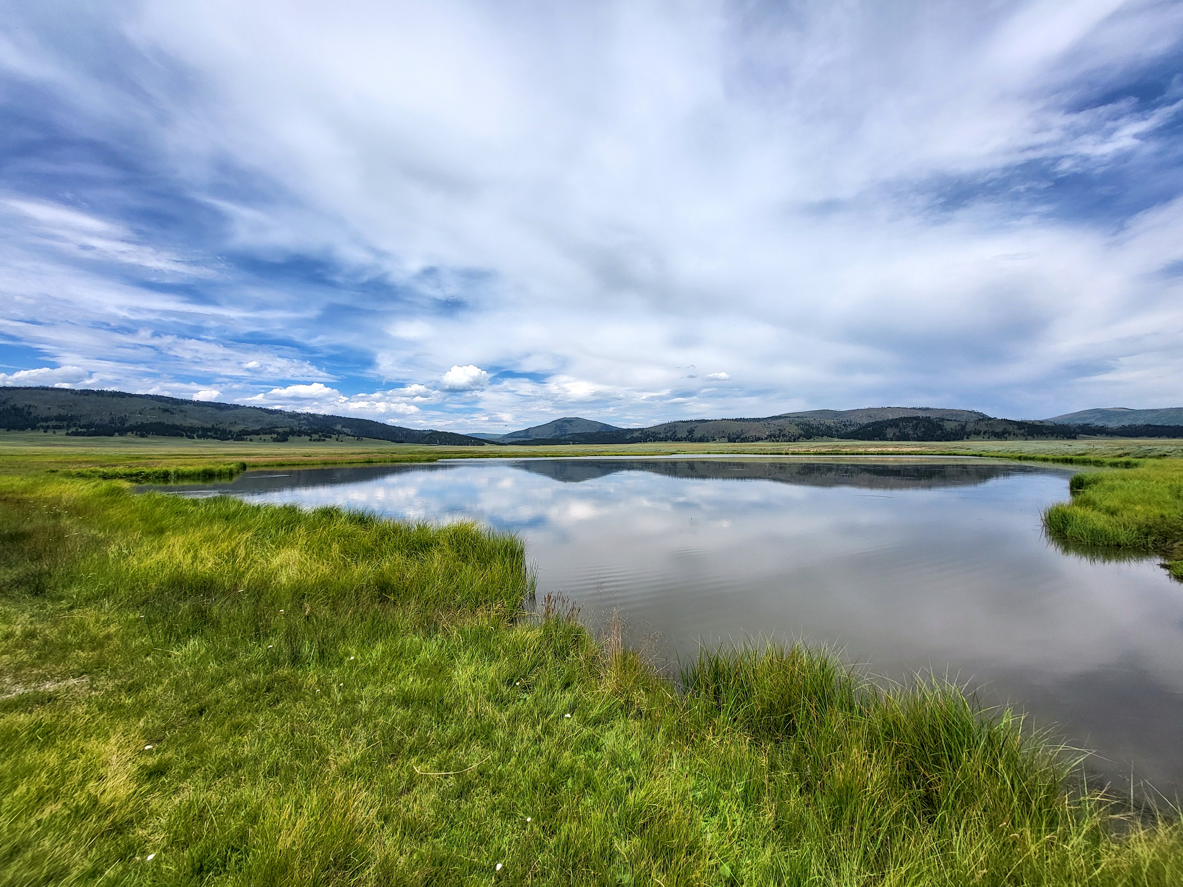
Hike the Valle Grande Exploration Trail
The Valle Grande Exploration Trail (formerly known as the Pond Trail) is a gentle, 0.8-mile round-trip hike to a pond…