
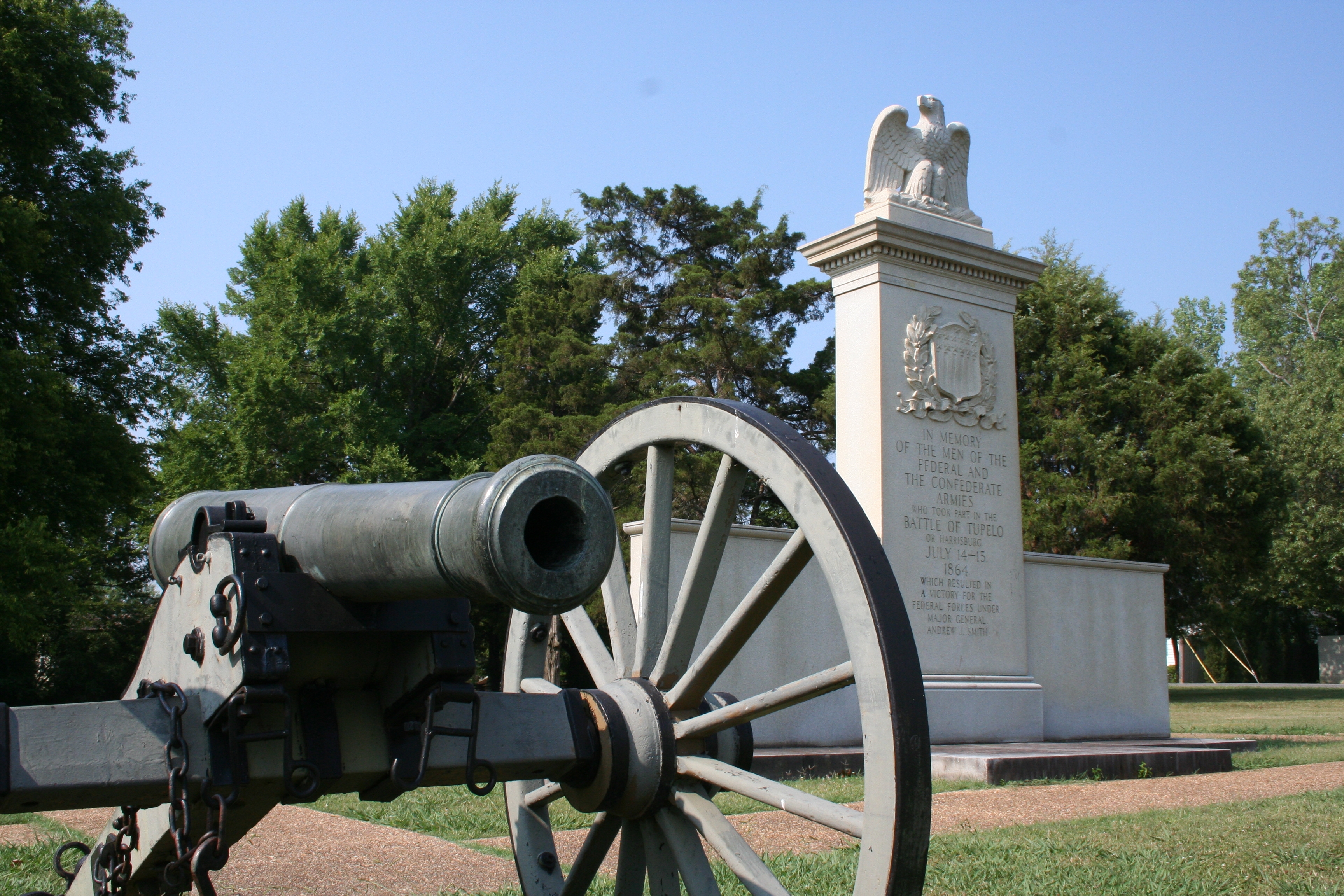
About Tupelo National Battlefield
In July, 1864, federal forces, including men from the United States Colored Troops, marched into Tupelo, Mississippi. Disorganized Confederate soldiers fought fiercely but could not overpower the federal troops. Neither side could claim a clear victory, but Union troops had succeeded in their main goal: keeping the Confederates away from Union railroads in Tennessee.
Plan a Visit
Core visitor information on this page is sourced from the National Park Service. NPD proximity sections use NPS reference coordinates and straight-line distance. Local source bundle updated Sep 27, 2026. View the official NPS page.
Weather & Conditions
Mississippi is classified as a humid subtropical climate, the weather ranges from mild winters to hot summers with high humidity between May and September. Average high temperatures reach into the high 80's in summer, and into the high 40's in winter. Check local forecasts to plan your trip.
NPS Reference Location
Park state / territory membership: Mississippi. This map uses the National Park Service reference coordinate. It may represent an administrative or reference point rather than a park entrance, trailhead, visitor center, or the nearest access point. Use the official NPS directions below when planning travel.
Operating Hours
The grounds of Tupelo National Battlefield are open during daylight hours everyday of the year. The National Park Service administers the National Battlefield through the Natchez Trace Parkway. Visitors are welcome to ask questions and learn more about the battlefield at the Parkway Visitor Center (Milepost 266) located about six miles north of the monument. The Visitor Center is open every day of the year except Thanksgiving,December 25, and January 1 9:00 a.m. to 4:30 p.m. (Central Time).
Activities
Getting There
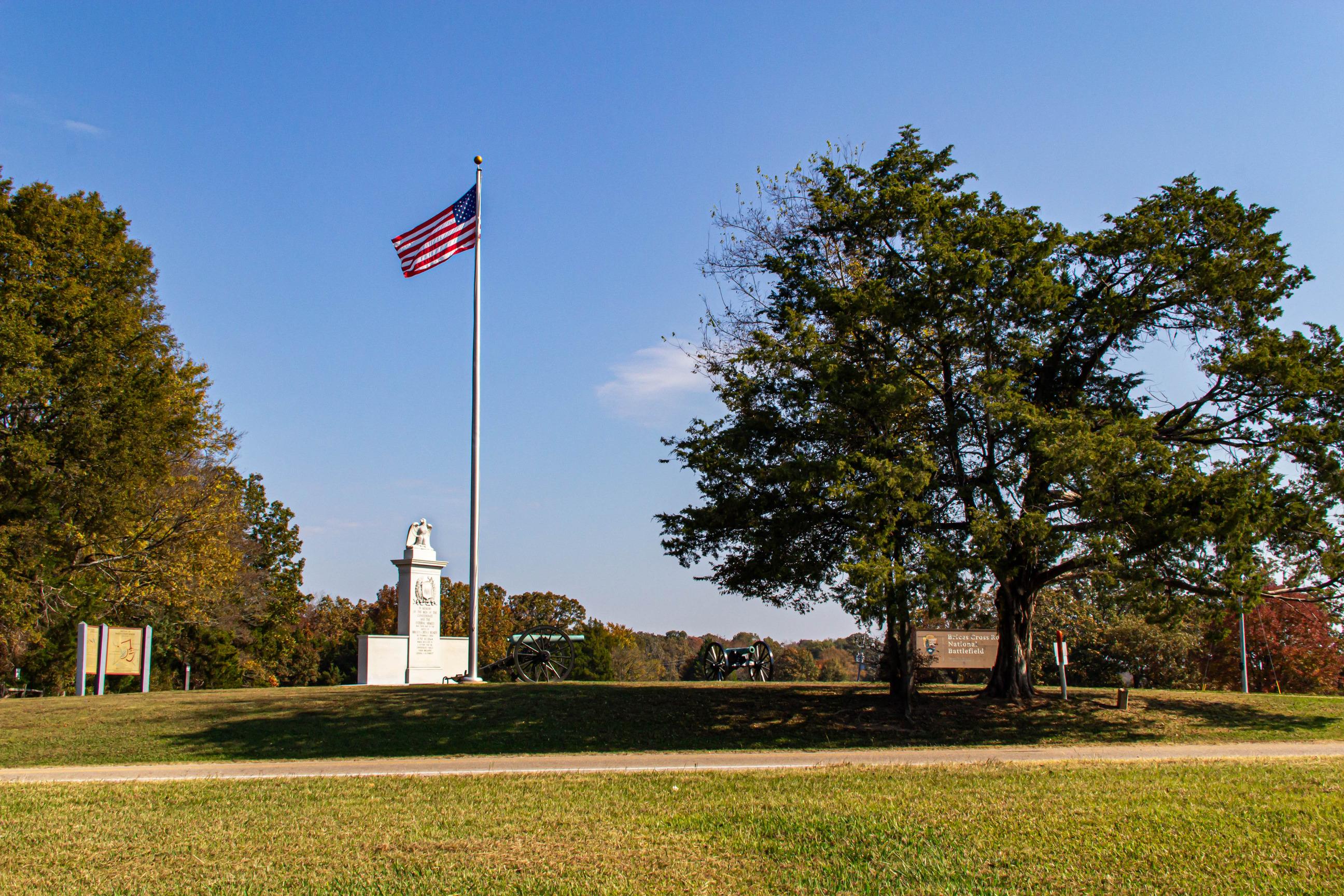
Tupelo National Battlefield (NB) is a one-acre monument located on Main Street, Tupelo, Mississippi. Main Street in Tupelo is also known as Highway 6 and Highway 278. Tupelo NB sits on the south side of Main Street on the west side of Tupelo. Exit off the Natchez Trace Parkway onto Highway 6 (near Milepost 260), head east, into Tupelo. Travel one mile east and find Tupelo NB on the right side of Main Street. There is limited parking available adjacent to the monument.
View Official DirectionsContact & Address
The NPS-listed address may be an administrative office, visitor center, mailing/contact location, or other park facility rather than a park entrance.
Topics & Themes
Things To Do

Exploring The Battle of Tupelo
More than 20,000 Union and Confederate soldiers fought in and around Tupelo, Mississippi between the morning of July 14 and…
Visitor Centers
Natchez Trace Parkway Visitor Center
The National Park Service administers the National Battlefield through the Natchez Trace Parkway. Visitors are welcome to ask questions and learn more about the battlefield…
Nearby National Park Service Sites
These sites are ordered by straight-line distance between NPS reference coordinates. This is useful for comparison, but it is not road mileage. Trails, parkways, rivers, and distributed units may extend far from their reference point.

Nearby Cities for Trip Planning
These cities are ordered by straight-line distance from the NPS reference coordinate. They are comparison starting points, not official park gateways or road-distance estimates. Trails and other distributed units may extend far beyond this reference point.
🗺️ Guided Tours & Experiences
Discover Tupelo National Battlefield with expert-led tours
We earn a commission if you make a purchase, at no additional cost to you.
🏨 Search Lodging for Tupelo National Battlefield
Review lodging results matching this park or site name
We earn a commission if you make a purchase, at no additional cost to you.