About
Step back in time and immerse yourself in the rich history preserved at the River Raisin National Battlefield Park. This historic site stands as a poignant reminder of the January 1813 battles of the War of 1812, where significant events unfolded that shaped the course of history. As you wander through the park, you'll uncover the stories of the intense conflicts that unfolded here, resulting in a monumental victory for Tecumseh’s Confederation and the British, while dealing a devastating blow to the U.S forces. These battles not only marked a turning point in the War of 1812 but also had far-reaching consequences that reverberated through the years. Beyond the military engagements, the aftermath of these battles brought about significant changes, including the enactment of U.S. Indian laws that initiated the removal, relocation, and assimilation of native nations. These reverberations from the past continue to shape the landscape of the present, adding layers of complexity to the historical tapestry woven at River Raisin National Battlefield Park. For history enthusiasts and curious visitors alike, a trip to this park offers a unique opportunity to connect with the past and gain a deeper understanding of the events that unfolded on this hallowed ground. Explore the well-preserved battlegrounds, engage with interpretive exhibits, and reflect on the enduring legacy of the War of 1812 at River Raisin National Battlefield Park.
Directions
Discover the Route to River Raisin National Battlefield Park
Embark on a memorable journey to River Raisin National Battlefield Park, a beacon of history nestled in the heart of lower Michigan. With our step-by-step directions, reaching this iconic destination will be as enjoyable as exploring it!
Your Journey Begins Here
Positioned along the tranquil western shores of Lake Erie, River Raisin National Battlefield Park is a gem in the vibrant city of Monro. Just 35 miles south of the bustling city of Detroit, it's a quick retreat for city dwellers. For those venturing from further afield, the park is a mere 270 miles east of Chicago, making it a must-visit stop on any Midwest road trip.
Driving Directions
Getting to River Raisin National Battlefield Park by car is a breeze. If you are traveling via Interstate 75, simply take exit 15. Once you are off the highway, head south on Dixie Highway, and you will find the park headquarters at 333 North Dixie Highway on your right. It's as simple as that!
Address
For your GPS or map inquiries, use the following address: 333 N. Dixie Hwy., Monroe, MI 48162. With these details at hand, your trip to River Raisin National Battlefield Park will be smooth and hassle-free.
Location
Located in Monroe
Weather Information
There is a saying about Michigan weather: "If you don't like the weather wait five minutes and it will change!" Seasonal average temperatures for Monroe area: Winter: highs range from 30 F- 45 F and lows range from 15 F- 30 F Spring: highs range from 40 F - 70 F and lows range from 25 F - 55 F Summer: highs range from 70 F - 85 F and lows range from 50 F - 65 F Fall: highs range from 40 F - 80 F and lows range from 60 F - 30 F
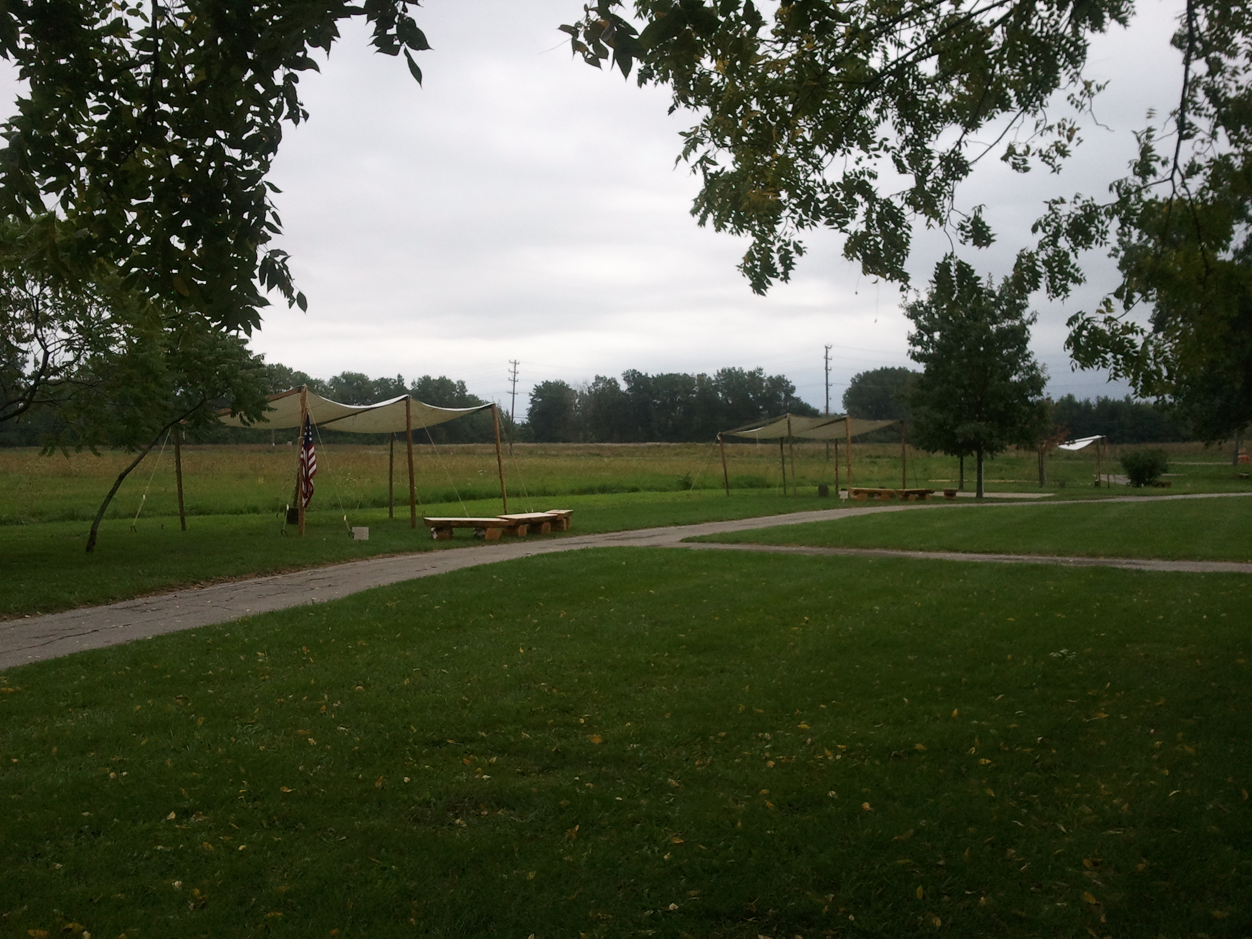
Gallery


Quick Facts
- Designation: National Battlefield Park
- City: Monroe
- Park Code: rira
- Website: Official Website
Activities
Topics
Plan Your Visit
Ready to explore River Raisin National Battlefield Park? Learn more about the park, plan your trip, and discover the natural wonders that await you.
Visit Official Website