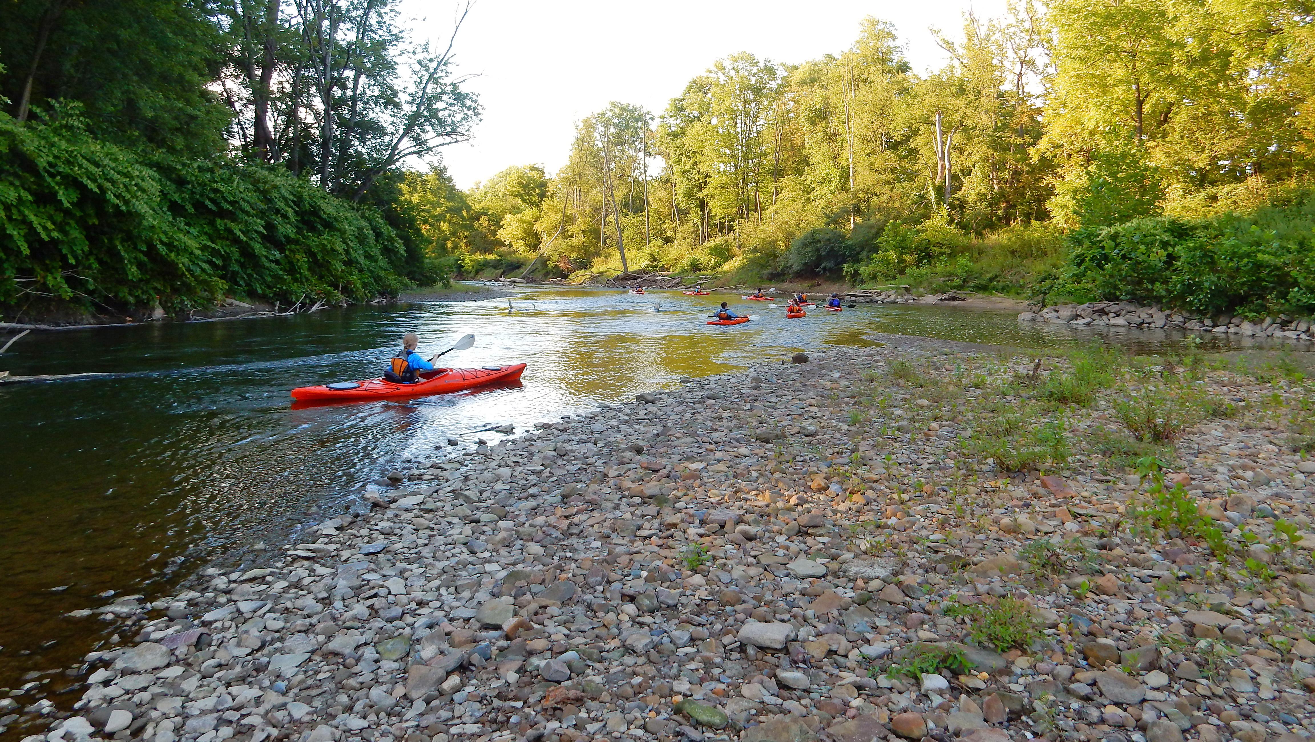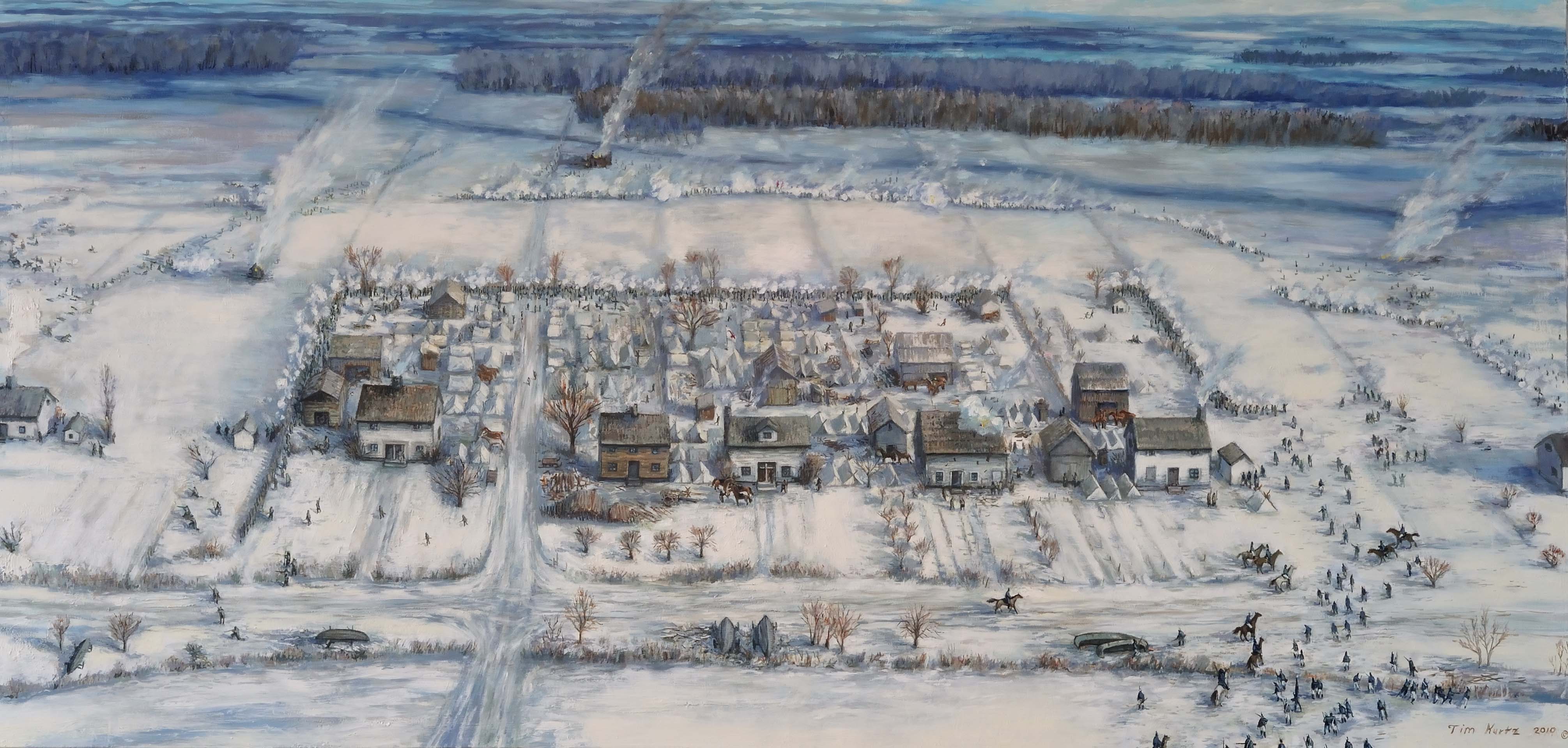


About River Raisin National Battlefield Park
River Raisin NBP preserves, commemorates, and interprets the January 1813 battles of the War of 1812 and their aftermath. Battles that resulted in the greatest victory for Tecumseh’s Confederation and the British and the greatest defeat for the U.S. The aftermath led to U.S. Indian laws that forced the removal, relocation, and assimilation of native nations, an aftermath that continues today.
Plan a Visit
Core visitor information on this page is sourced from the National Park Service. NPD proximity sections use NPS reference coordinates and straight-line distance. Local source bundle updated Sep 27, 2026. View the official NPS page.
Weather & Conditions
There is a saying about Michigan weather: "If you don't like the weather wait five minutes and it will change!" Seasonal average temperatures for Monroe area: Winter: highs range from 30 F- 45 F and lows range from 15 F- 30 F Spring: highs range from 40 F - 70…
NPS Reference Location
Park state / territory membership: Michigan. This map uses the National Park Service reference coordinate. It may represent an administrative or reference point rather than a park entrance, trailhead, visitor center, or the nearest access point. Use the official NPS directions below when planning travel.
Operating Hours
The visitor center contains a 24-foot diorama of the River Raisin Settlement, maps, ranger programs, basic park orientation, park store, passport stamp and Park film. We are open year-round. Please check seasonal hours for times of operation. We are closed on Thanksgiving Day, Christmas Day, and New Year's Day.
Activities
Current Alerts
Trails at River Raisin National Battlefield Park are not maintained during winter months. Please use caution.
Getting There
River Raisin National Battlefield is located in SE Lower Michigan along the western shoreline of Lake Erie, in the city of Monroe. Park headquarters is 35 miles south of Detroit, and only 270 miles east of Chicago. By Car: Take Interstate 75 to exit 15 and go south on Dixie Highway to 333 North Dixie Hwy on the right.
View Official DirectionsContact & Address
The NPS-listed address may be an administrative office, visitor center, mailing/contact location, or other park facility rather than a park entrance.
Topics & Themes
Things To Do
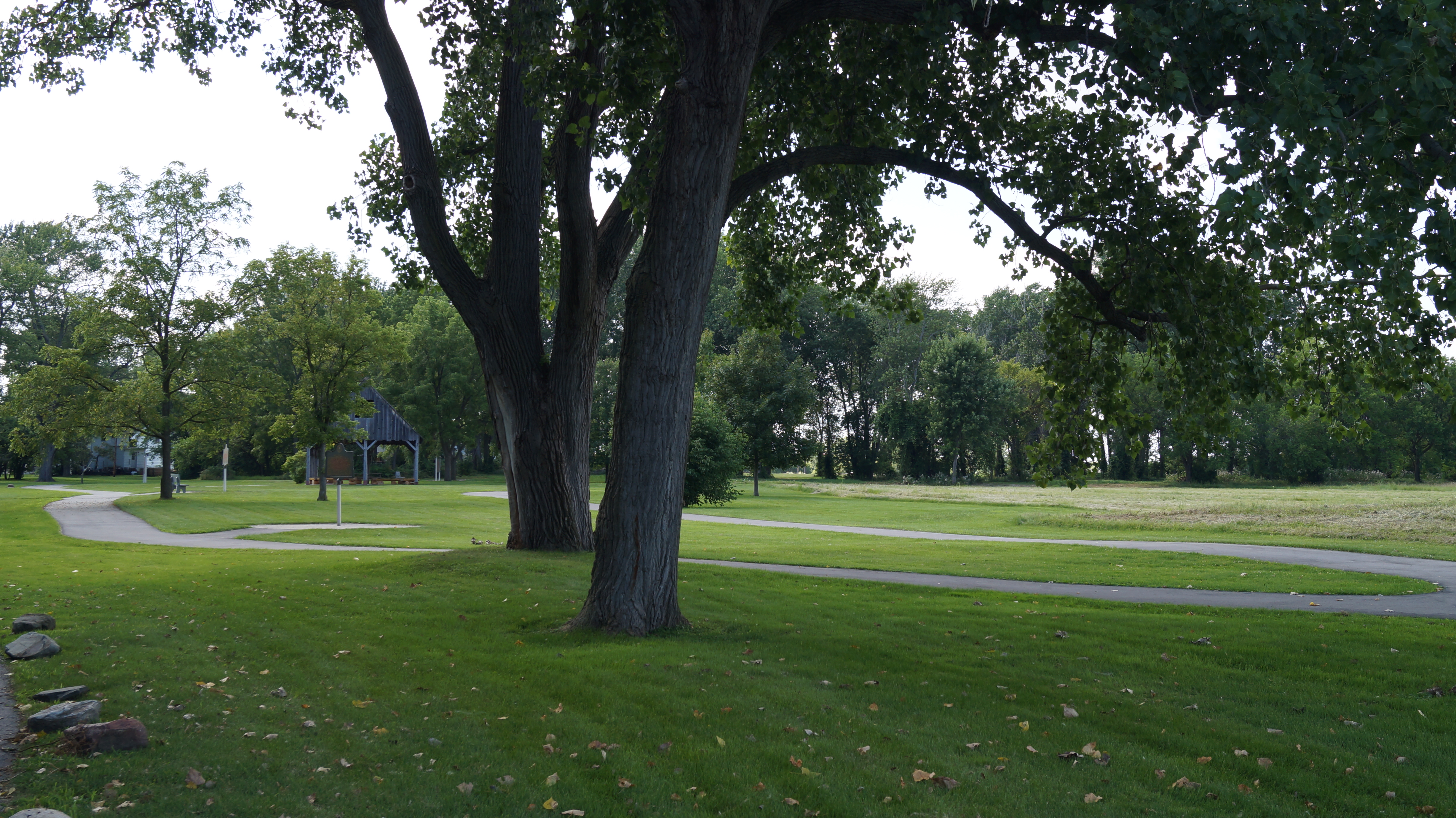
The Battlefield
As you visit River Raisin National Battlefield Park, you are visiting hallowed grounds and the final resting place for many…
Enjoy the River Raisin Heritage Trail
The River Raisin Heritage Trail The Heritage Trail has eight miles of paved hike-bike trails that provide safe and scenic…
Visitor Centers
River Raisin National Battlefield Park Visitor / Education Center
The visitor center is OPEN and offers a Diorama of the River Raisin Settlement, orientation maps, ranger programs, basic park orientation, gift shop, passport stamp…
Nearby National Park Service Sites
These sites are ordered by straight-line distance between NPS reference coordinates. This is useful for comparison, but it is not road mileage. Trails, parkways, rivers, and distributed units may extend far from their reference point.