About Pictured Rocks National Lakeshore
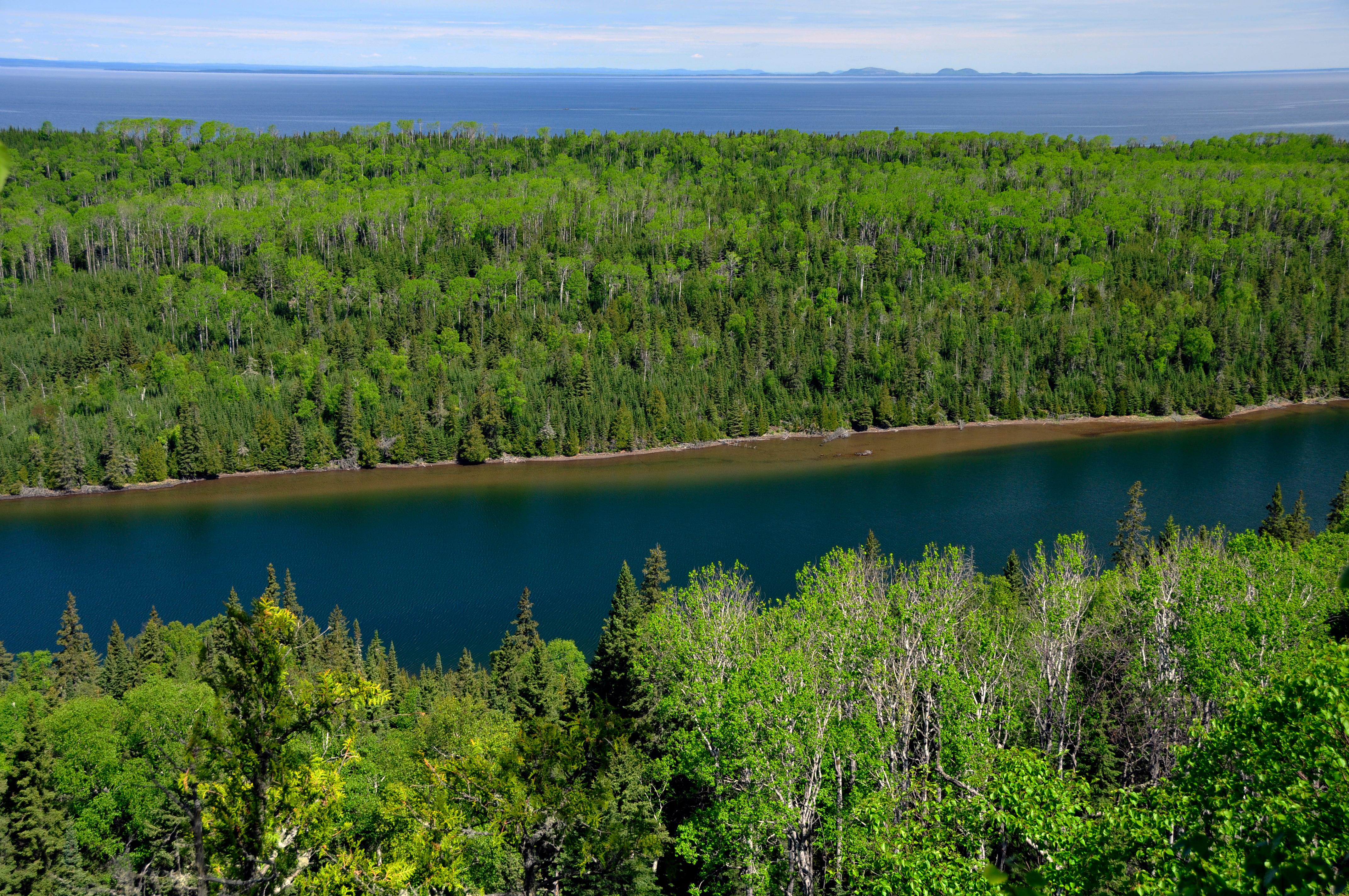
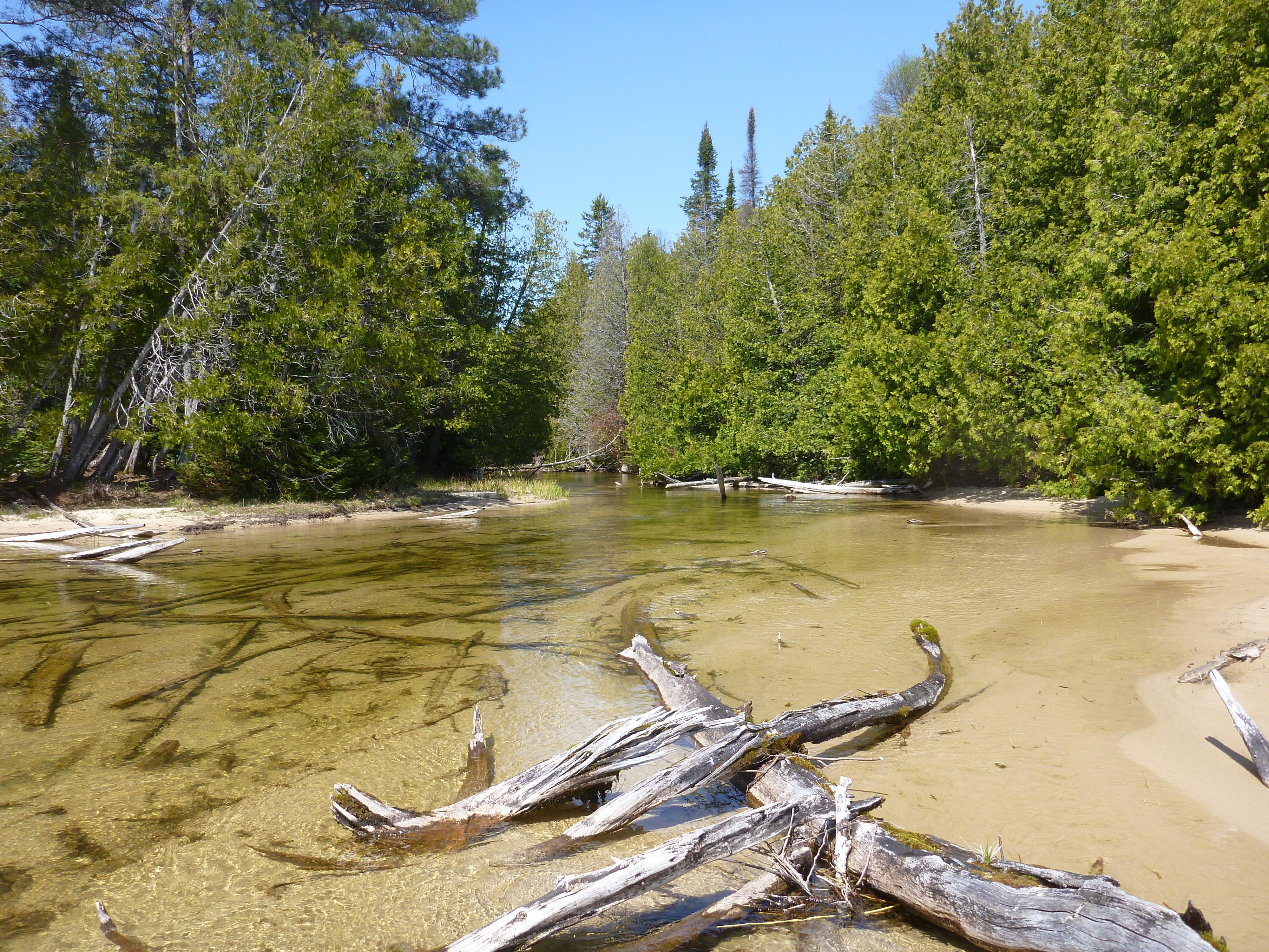
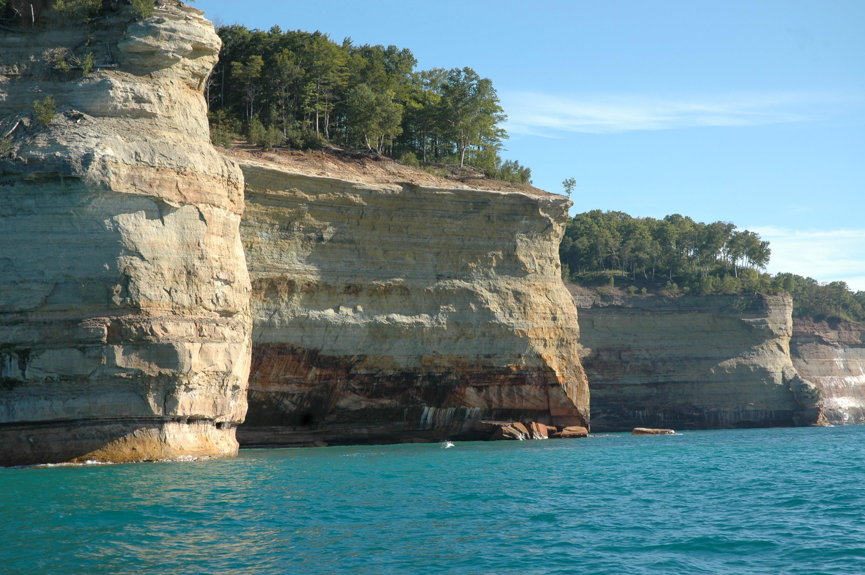
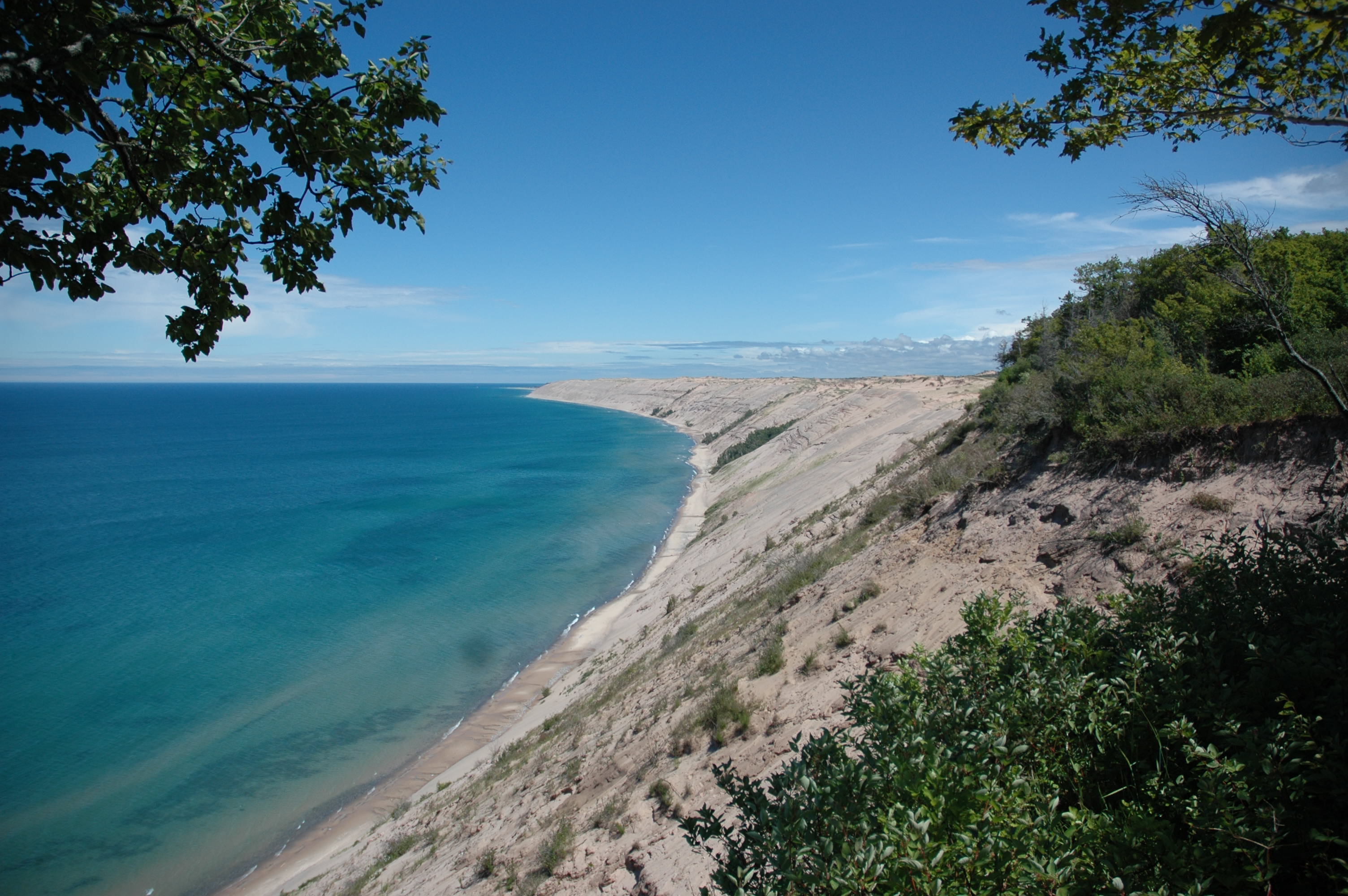
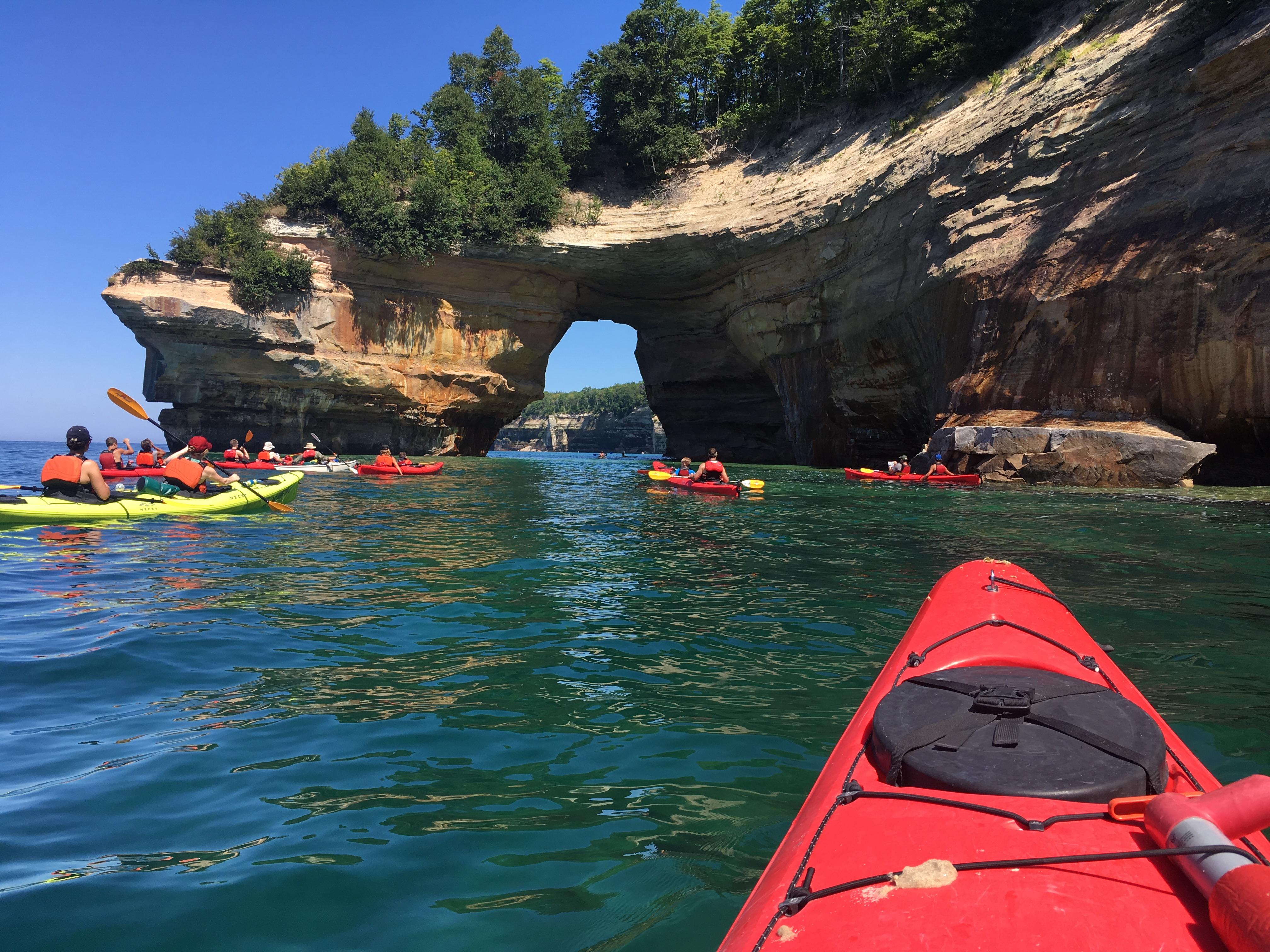
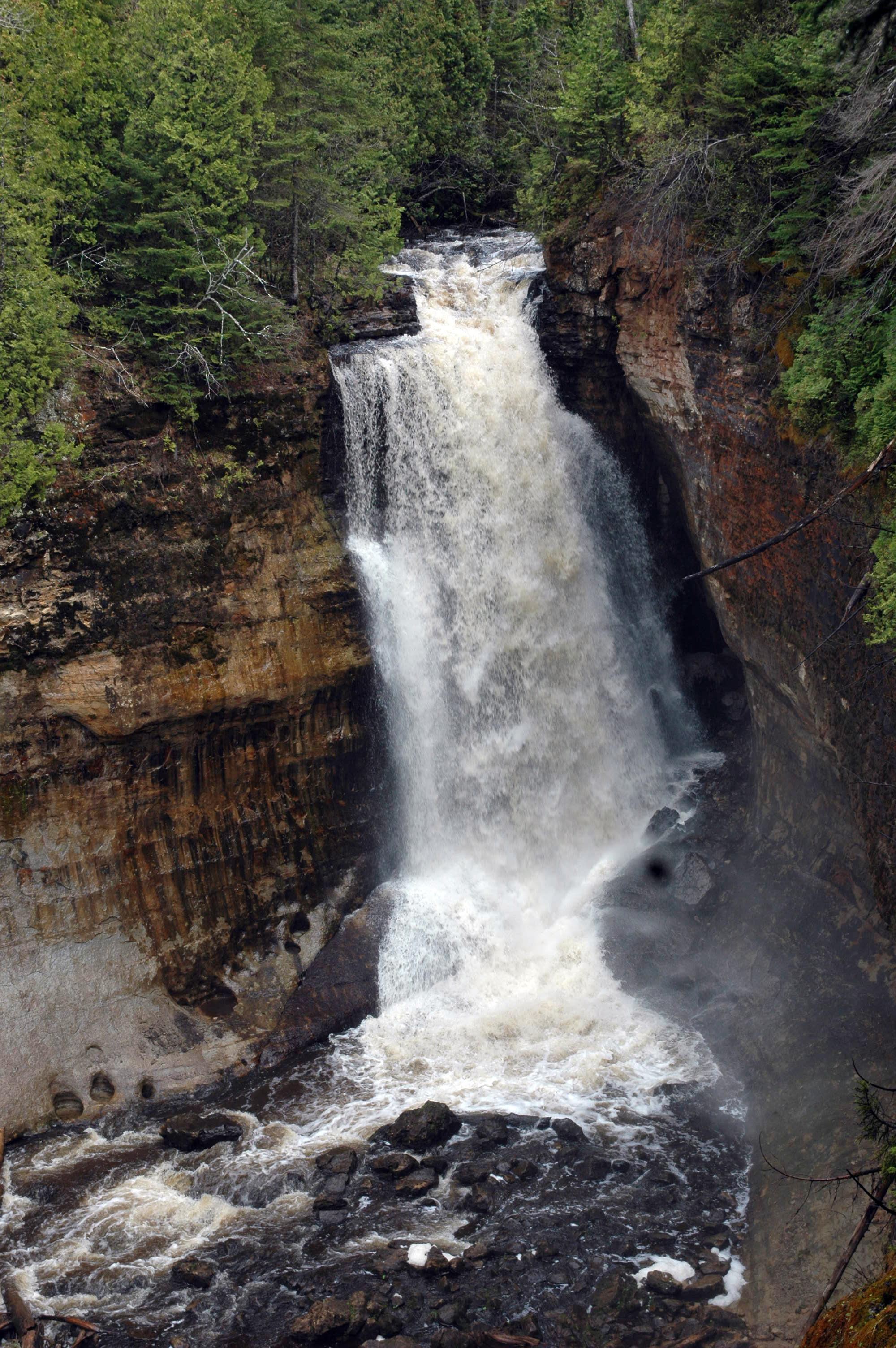
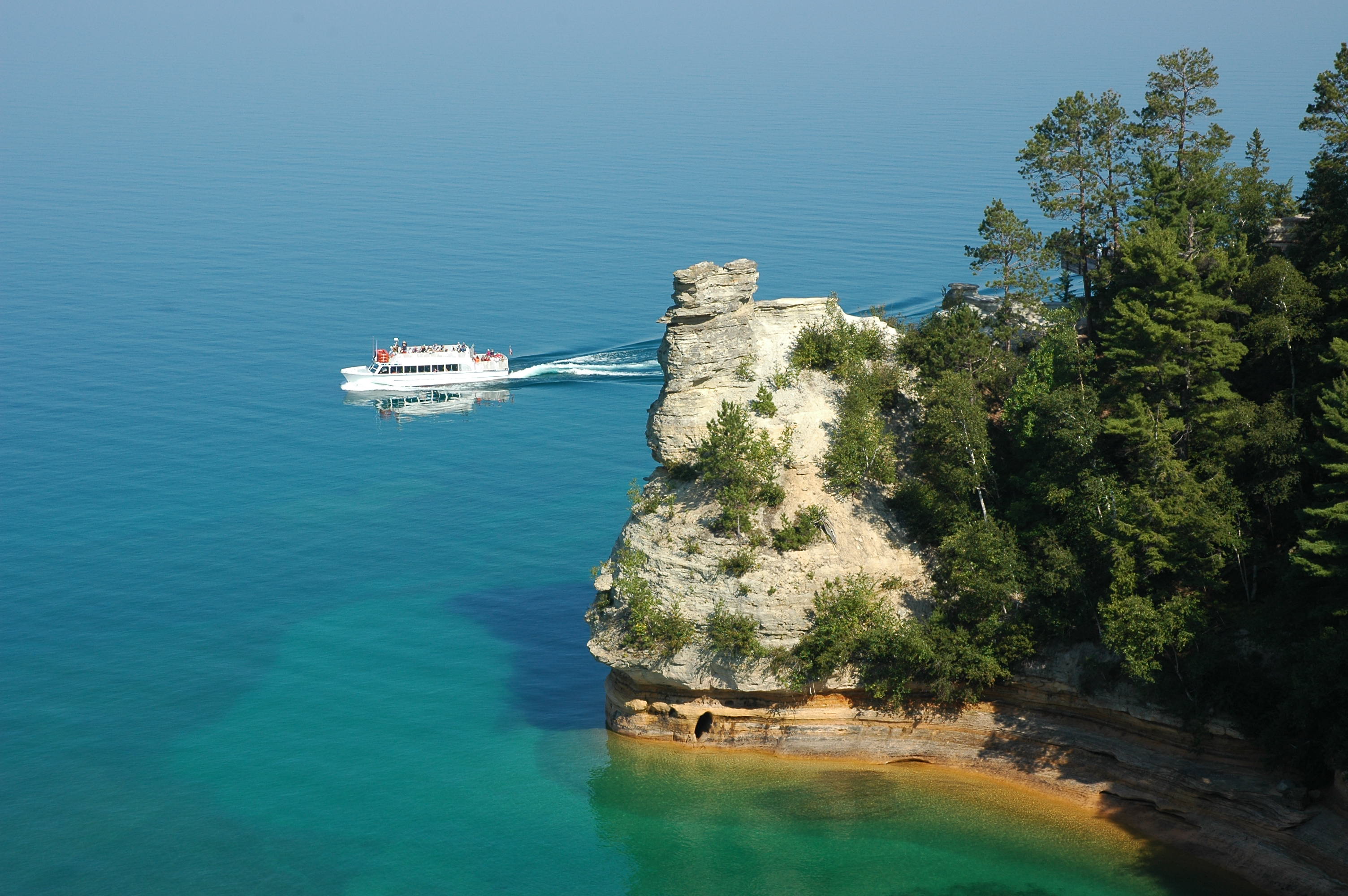
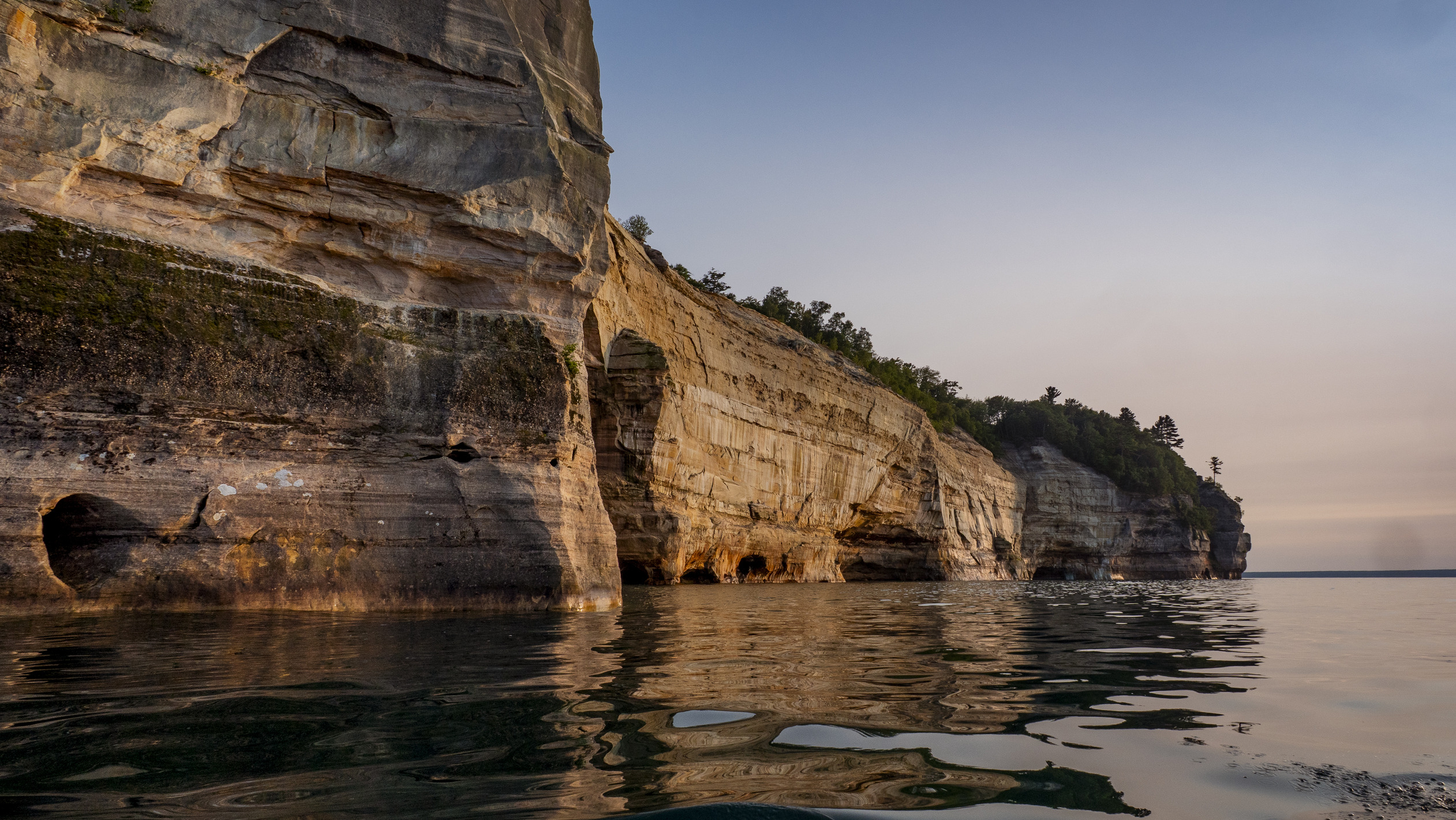
Sandstone cliffs, beaches, waterfalls, sand dunes, inland lakes, deep forest, and wild shoreline beckon you to visit Pictured Rocks National Lakeshore. The power of Lake Superior shapes the park's coastal features and affects every ecosystem, creating a unique landscape to explore. Hiking, camping, sightseeing, and four-season outdoor opportunities abound.
Quick Facts
Entrance Fees
This pass admits the driver and all passengers in a private-use vehicle for seven consecutive days to all areas of Pictured Rocks National Lakeshore. This fee does not cover additional fees associated with activities such as camping or commercial tours.
Valid for 7 days. Admits up to 2 private, non-commercial motorcycles with up to 4 total passengers to all areas of Pictured Rocks National Lakeshore. This fee does not cover additional fees associated with activities such as camping or commercial tours.
This pass admits a snowmobile to all parts of Pictured Rocks National Lakeshore for 7 consecutive days. This fee does not cover additional fees associated with activities such as camping or commercial tours.
This pass admits one walk-in, bicycle-in, or boat-in person to all parts of Pictured Rocks National Lakeshore. This fee does not cover additional fees associated with activities such as camping or commercial tours.
This admits a commercial sedan to all areas of Pictured Rocks National Lakeshore. The flat rate for this pass is $25, plus an additional $5 per person age 16+. This fee does not cover additional fees associated with activities such as camping or commercial tours.
This pass admits a commercial van with a capacity of 7-16 persons, regardless of capacity, to all parts of Pictured Rocks National Lakeshore. This fee does not cover additional fees associated with activities such as camping or commercial tours.
This fee admits a commercial mini-bus to all parts of Pictured Rocks National Lakeshore. A mini-bus is defined as a vehicle with a 16-25 person capacity. The fee is charged regardless of occupancy of the vehicle. This fee does not cover additional fees associated with activities such as camping or commercial tours.
This fee applies to commercial vehicles with a 26+ person vehicle capacity, regardless of occupancy. This fee does not cover additional fees associated with activities such as camping or commercial tours.
Operating Hours
Pictured Rocks National Lakeshore is open year-round, 24 hours a day, though most roads are closed by snow in the winter. Sand Point Road is the only park road plowed in winter.
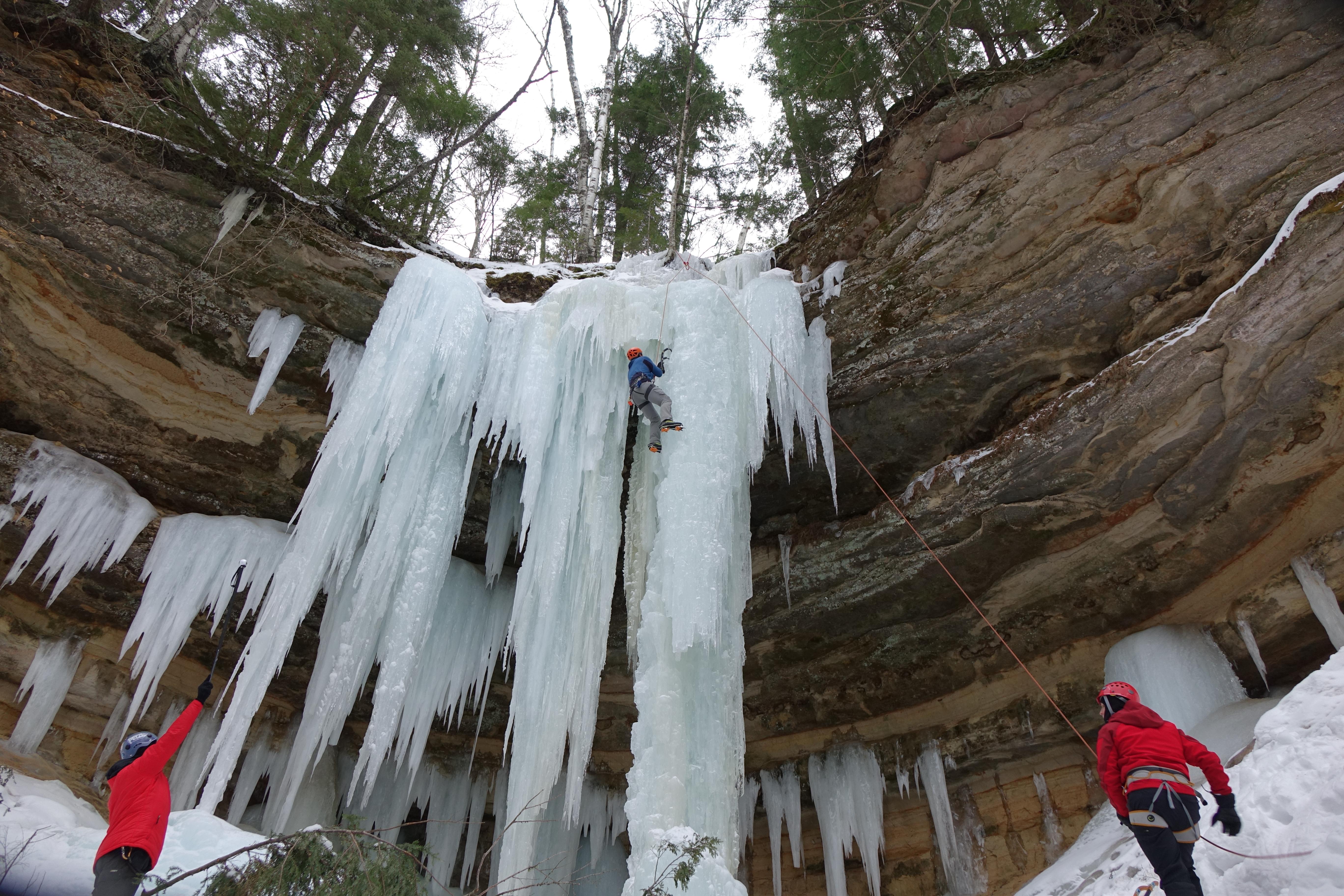
Activities
Getting There
Pictured Rocks NL is located on the south shore of Lake Superior in Michigan's Upper Peninsula, between the towns of Munising (west) and Grand Marais (east). Access the west side of the park via Michigan highways M-28 and M-94 to Munising. State highway M-77 leads to Grand Marais on the east side. Alger County Road H-58 runs parallel and through the park, providing access to spur roads that lead to scenic overlooks, trailheads, campgrounds, beaches, etc. Most park roads are closed in winter due to snow.
View Official DirectionsContact & Address
Entrance Passes
This annual pass is specific to Pictured Rocks National Lakeshore. It admits a driver and passengers in a private vehicle, or the cardholder plus three additional people to the park for 12 months from the purchase month. This pass does not cover other fees associated with activities such as camping or commercial tours.
Topics & Themes
Things To Do
Visit Pictured Rocks National Lakeshore
Description
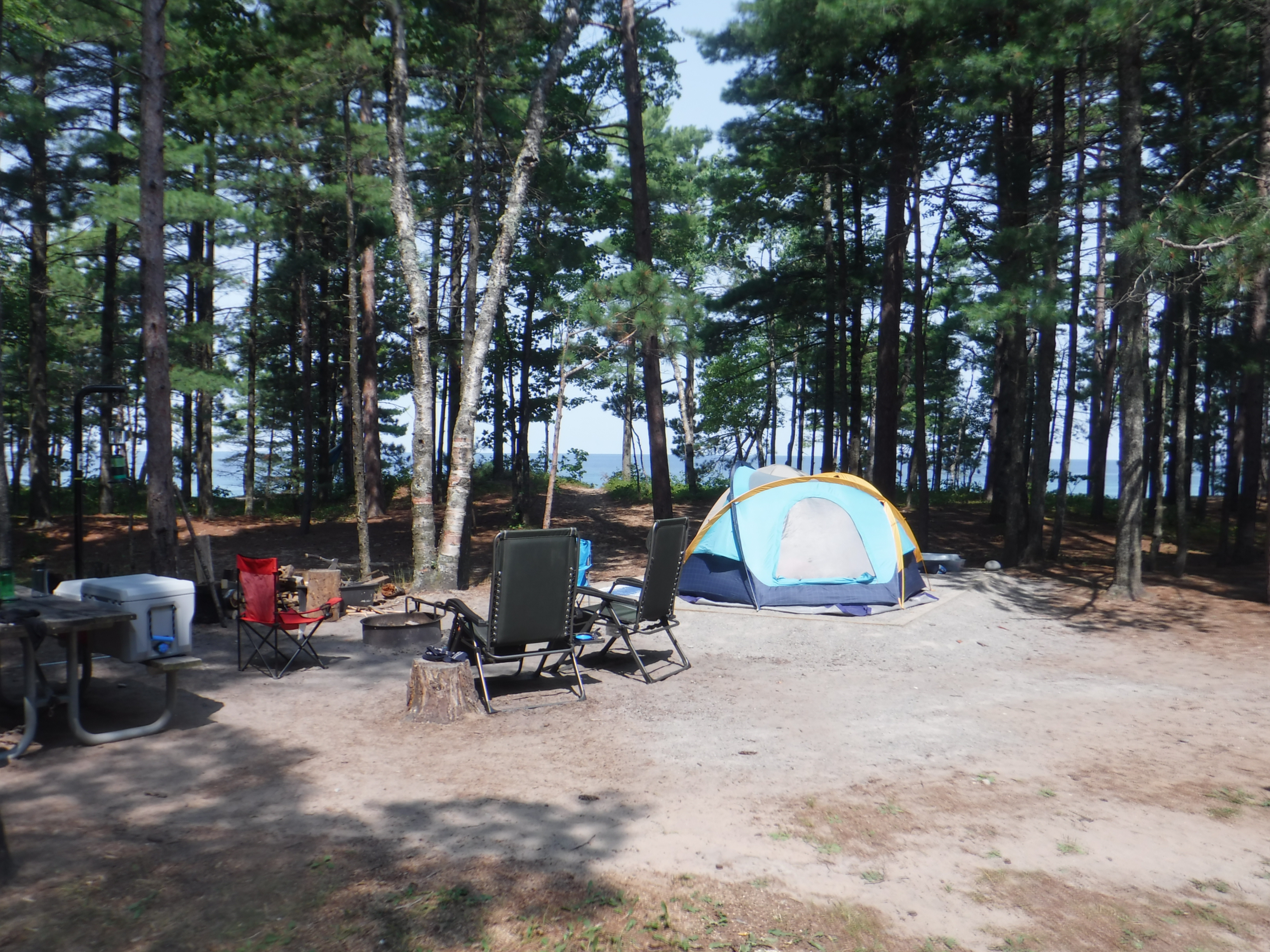
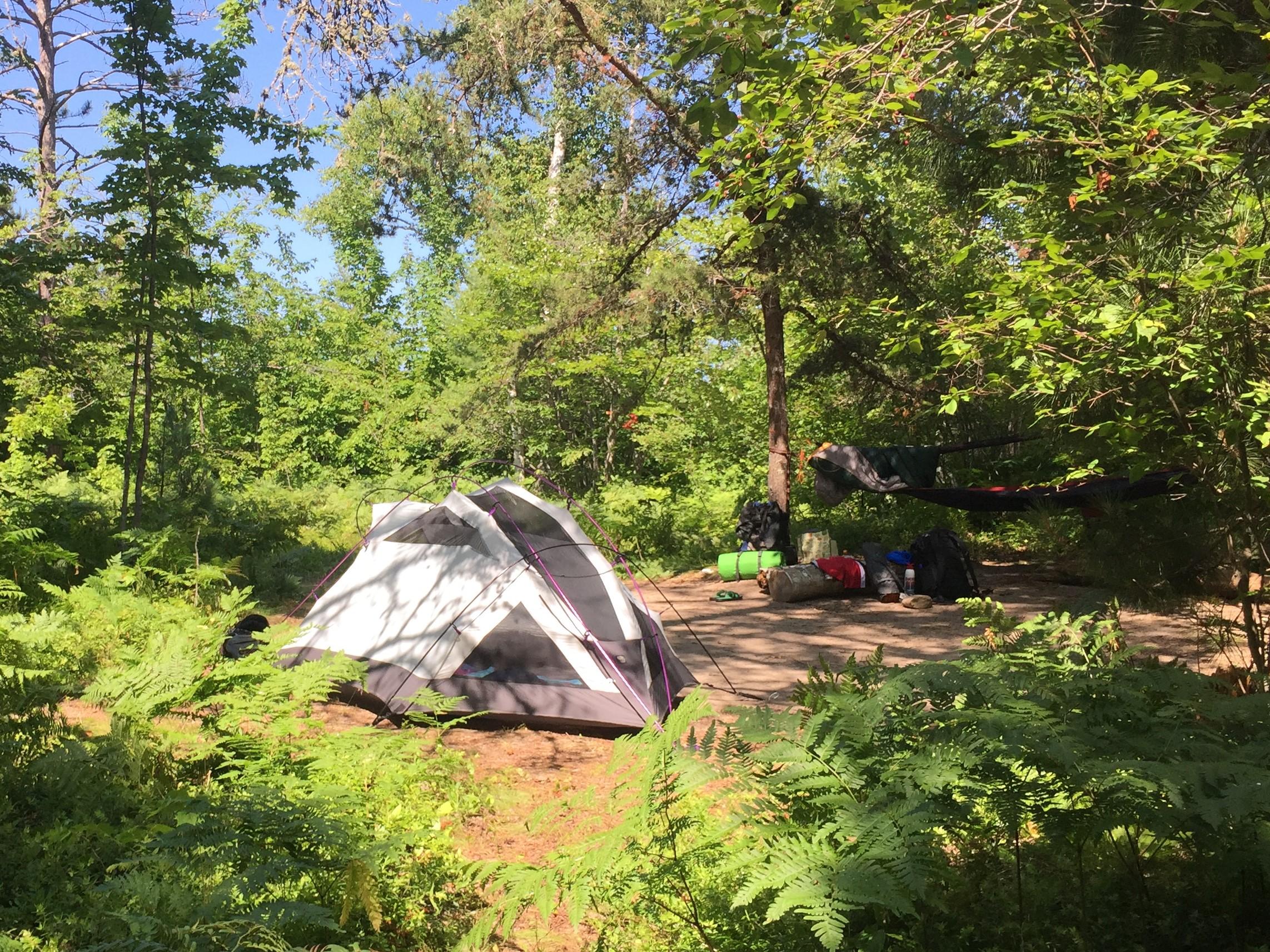
Drive-In Camping at Pictured Rocks
Pictured Rocks has three drive-in campgrounds open May 15 through Oct. 15. Two are along Lake Superior and the third…
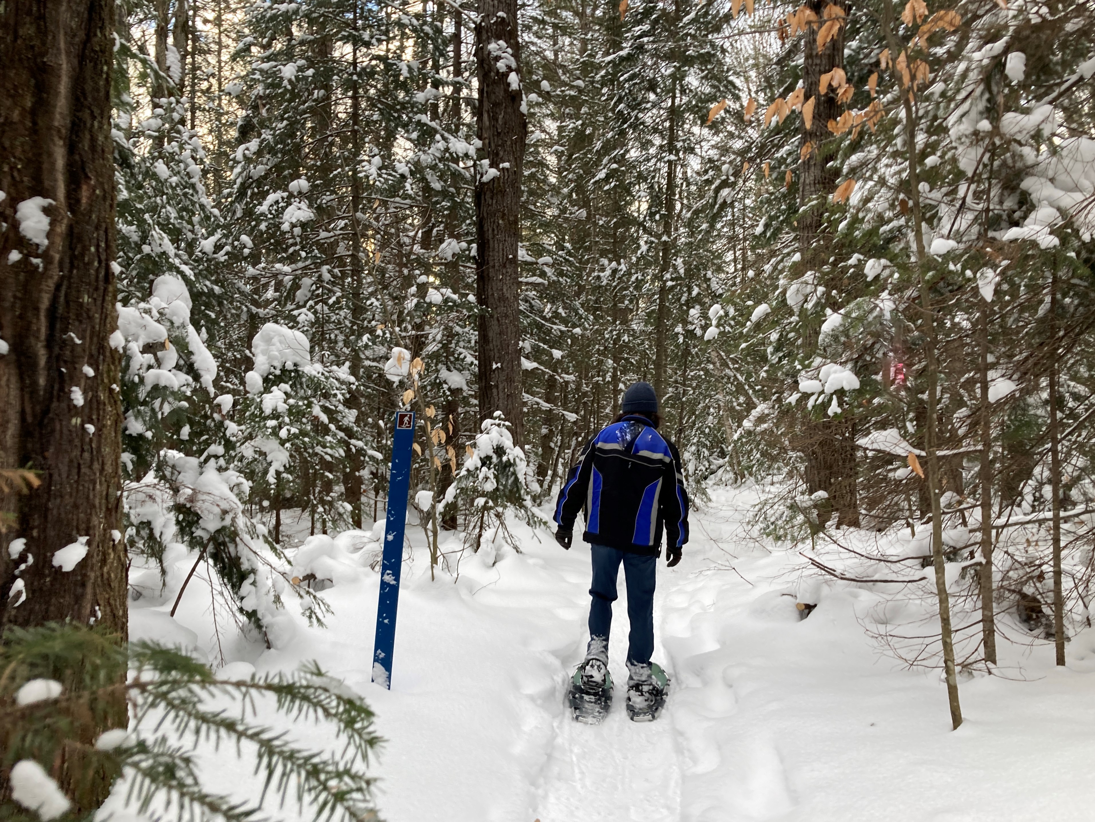
Snowshoeing at Pictured Rocks
Snowshoeing is a very popular winter sport at Pictured Rocks. There is one official trail, but almost the entire park…
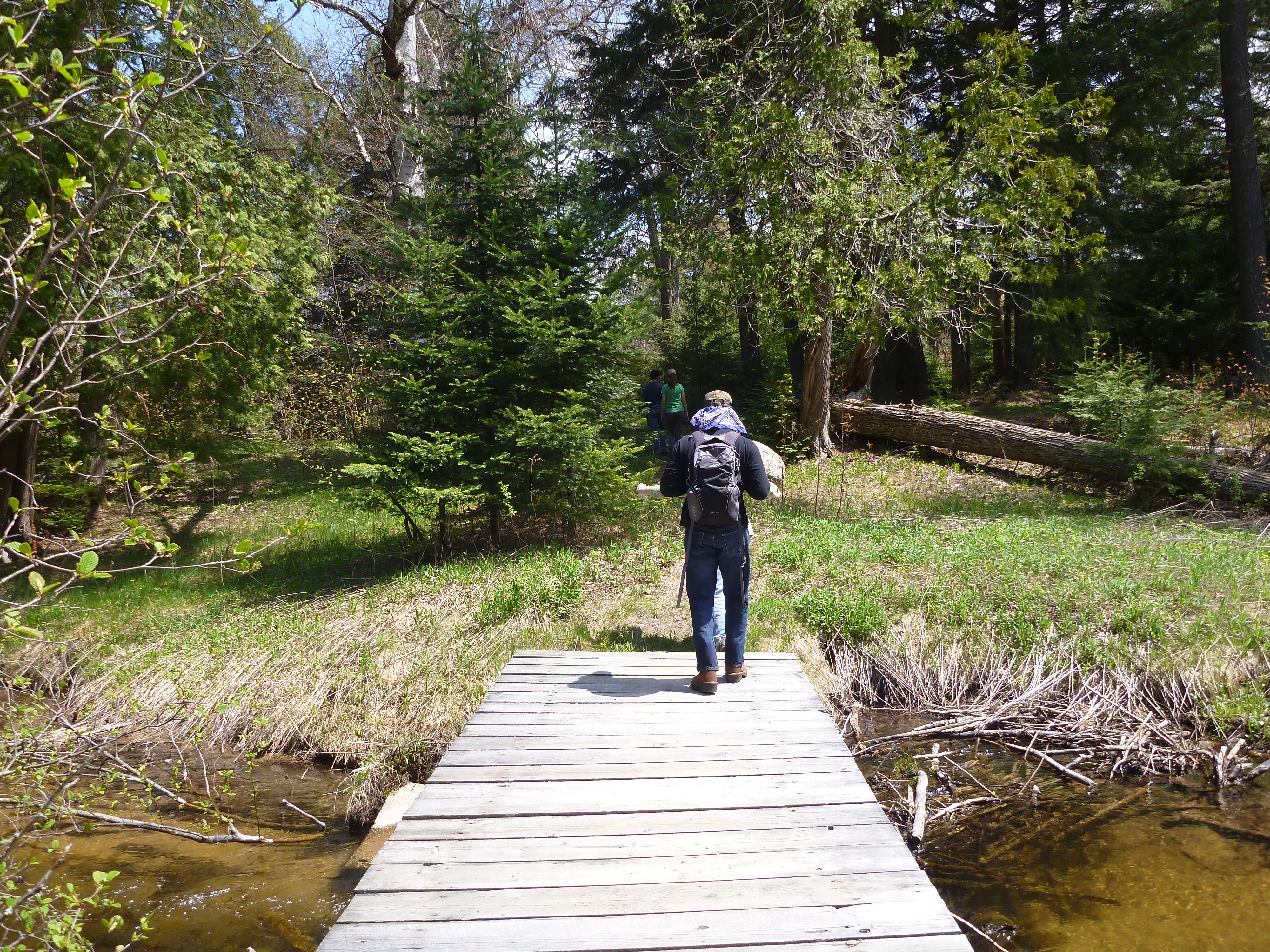
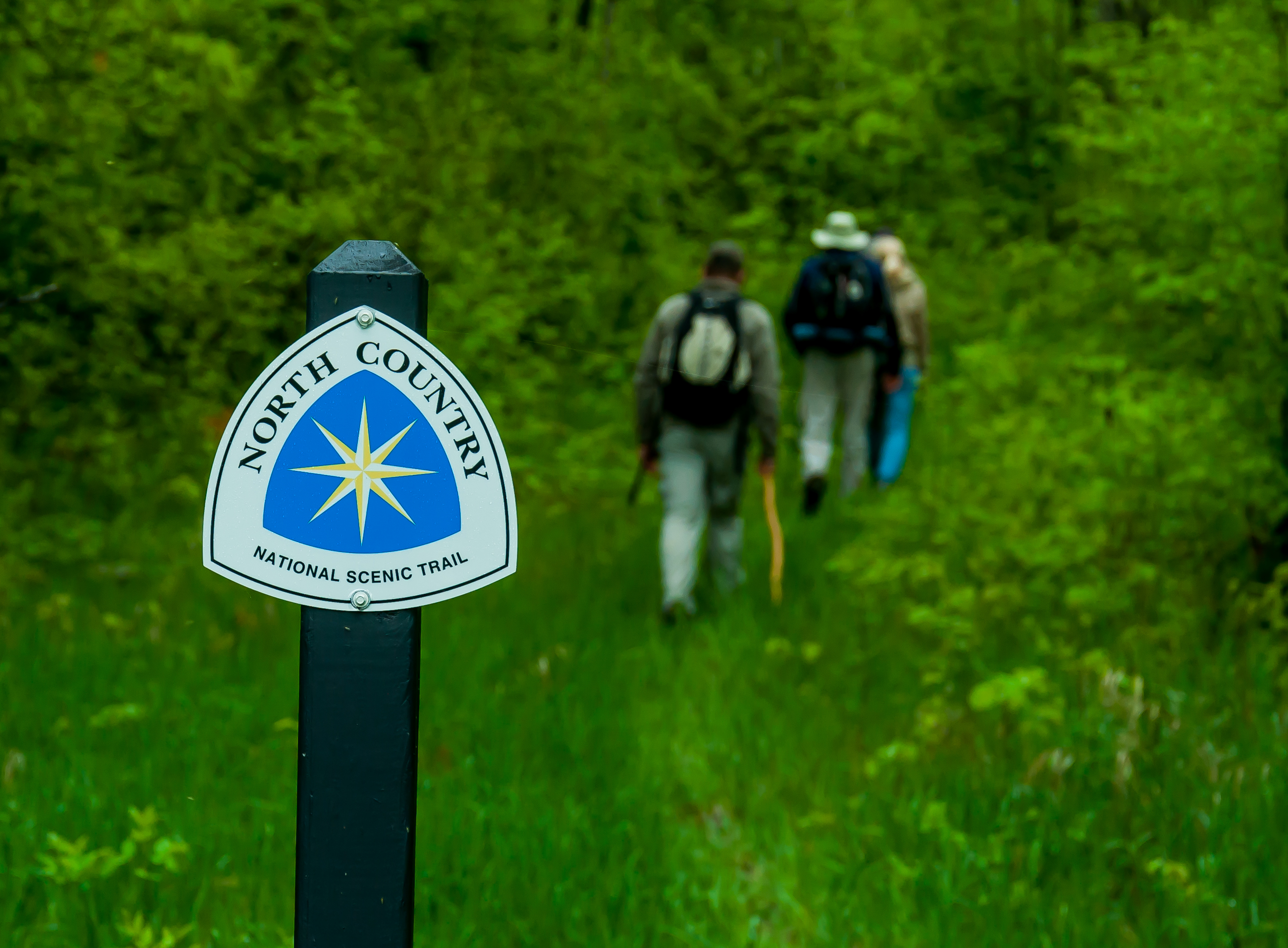
Walks and Hikes Over a Mile
Longer hikes and walks lead to stunning cliff views, remote beaches, the Beaver Basin Wilderness, Au Sable Lighthouse, and many…
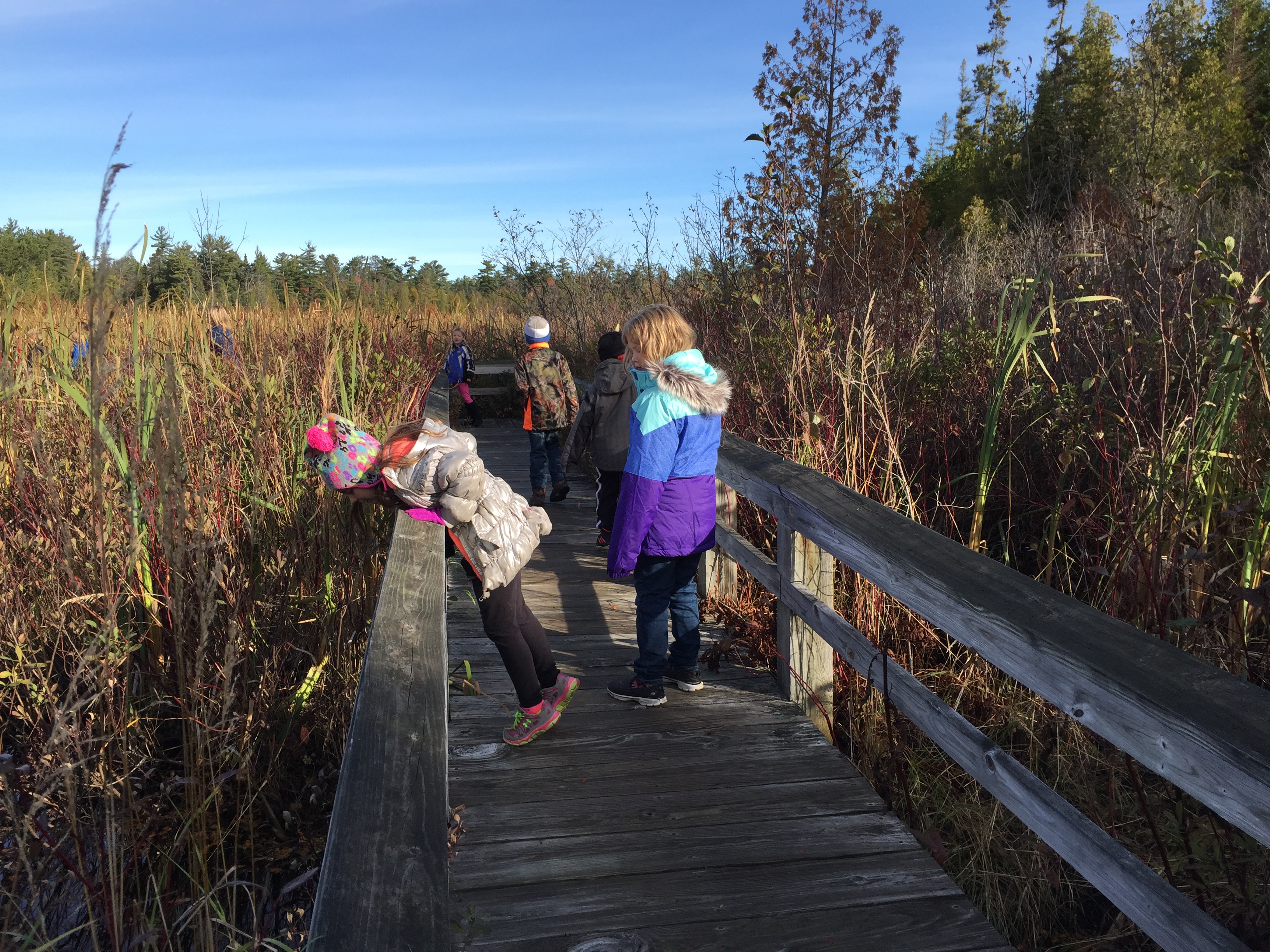
Walks and Hikes of One Mile or Less
Pictured Rocks offers 100 miles of hiking and walking trails leading to waterfalls, beaches, forest wilderness, cultural sites, and breathtaking…
Pictured Rocks National Lakeshore offers 100 miles of hiking trails leading to waterfalls, beaches, forest wilderness, cultural sites, and breathtaking…
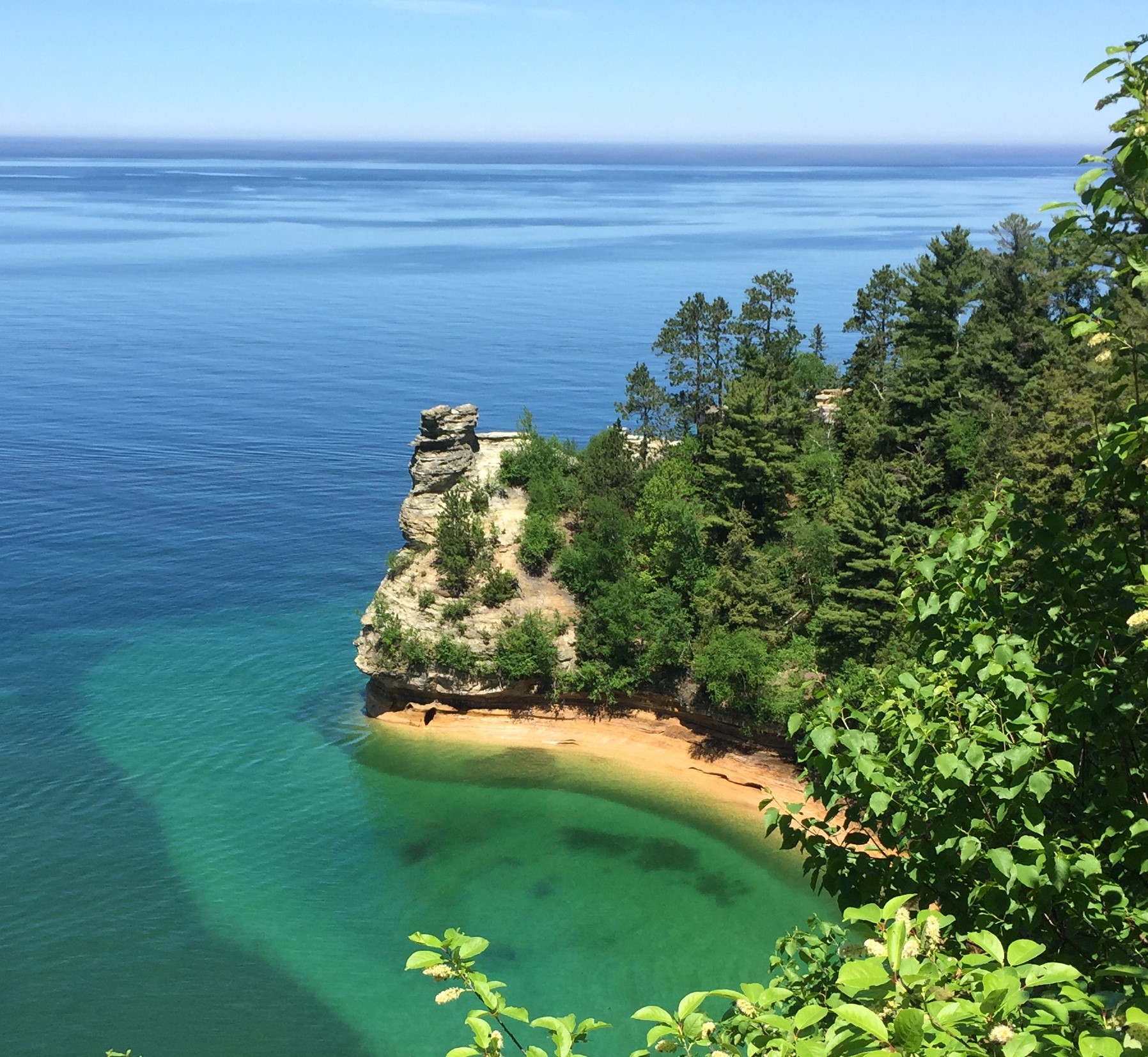
Places To See in One Hour
You could easily spend half a day exploring any of these locations, but if you only have an hour to…
Scenic viewing of the park's natural wonders is the focus of this self-guided auto tour. Suggestions for what can be…
Visitor Centers
Grand Sable Visitor Center
See below for hours, directions, and contact information.
Hours: The Grand Sable Visitor Center is open 7 days a week, 9am - 5pm, starting June 1st.
Miners Castle Visitor Contact Station
Buy your park pass and get trip-planning information!
Hours: The Miners Castle Visitor Contact Station is open late spring to early fall.
Munising Falls Visitor Center
See below for hours, directions, and contact information.
Hours:
Campgrounds
Au Sable East Group Backpacking Site
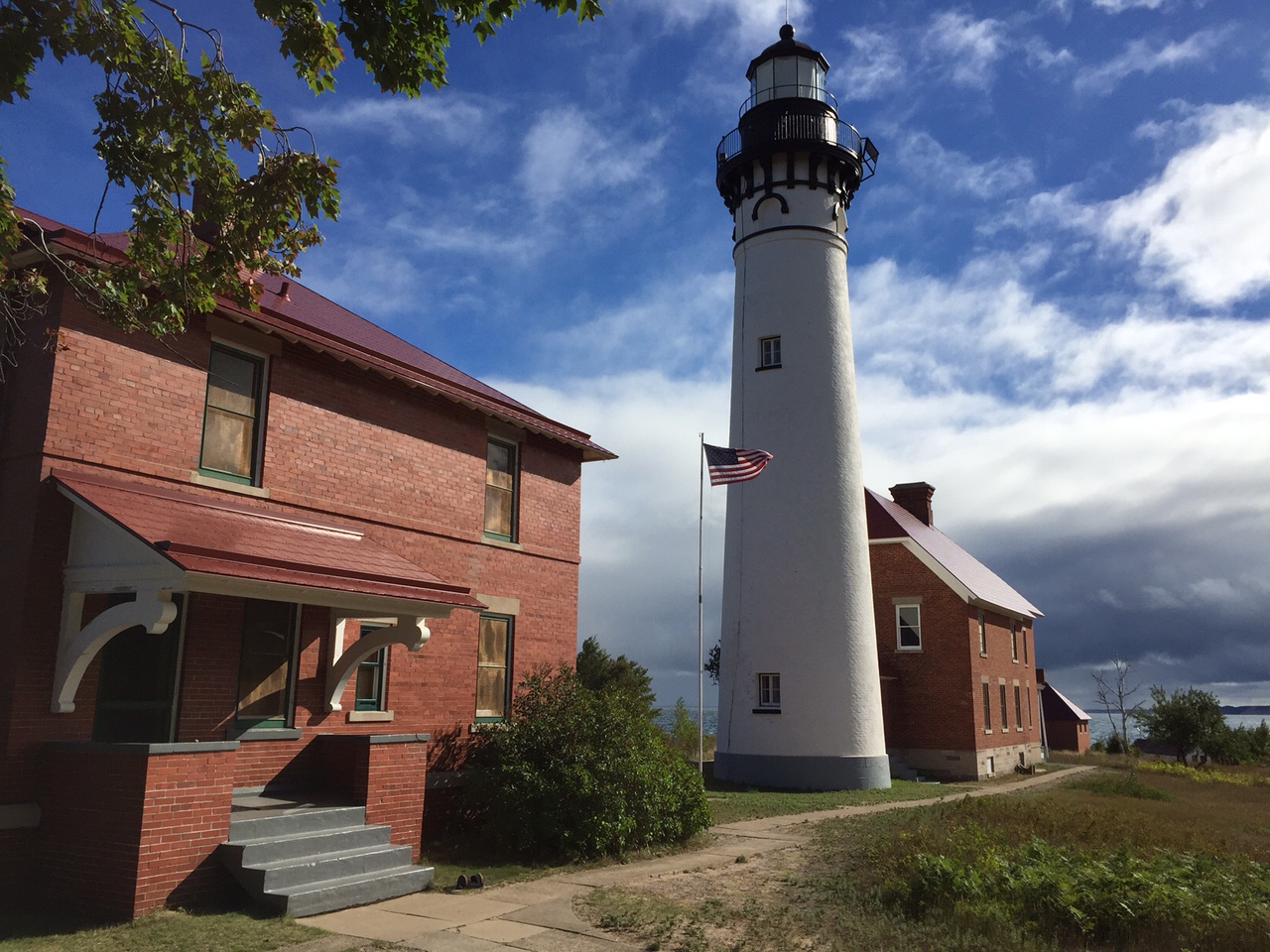
Au Sable Point East Group Campground is 0.2 miles west of the Au Sable Light Station and inland from the North Country Trail. The group…
Au Sable East Individual Backpacking Sites
Au Sable Point East Campground is next to the Au Sable Point East Group Campground. Due to the dense forest, you are unable to see…
Beaver Creek Individual Backpacking Sites
Beaver Creek Campground is on the bluff above Lake Superior and Beaver Creek in the Beaver Basin Wilderness. The six campsites are dispersed throughout the…
Benchmark Individual Backpacking Sites
Benchmark Campground is on a sandy bluff above Lake Superior. The six campsites are sandy and open. There are social trails that lead down to…
Chapel Individual Backpacking Sites
Chapel Beach Campground sits on the sand bluff above Chapel Beach and Lake Superior. Chapel Beach is a popular day use area, so the six…
Cliffs Group Backpacking Site
Cliffs Group Campground is one mile east of Cliffs Campground. It lies high above Lake Superior and inland from the North Country Trail. You will…
Cliffs Individual Backpacking Sites
Cliffs Campground rests high above Lake Superior inland from the North Country Trail. The three campsites are in an open area with little cover between…
Coves Group Backpacking Site
Coves Group Campground is three miles east of Chapel Beach. You are still up on the cliff line, but have started your descent towards Twelvemile…
Coves Individual Backpacking Sites
Coves Campground is inland from the North Country Trail, hidden behind the pine trees and ferns. There are two entry points to the campground. The…
Grand Sable Lake Boat-In Site
Grand Sable Lake on the park's east end has one boat-in backcountry campsite. Campers must provide their own boat and launch at the Grand Sable…
Hurricane River Campground
There are two loops: 11 campsites in the lower loop and ten in the upper loop. Both loops include one disabled- accessible campsite. Several campsites…
Little Beaver Lake Campground
Little Beaver Lake Campground has 8 campsites on a beautiful inland lake. One campsite is disabled- accessible. Single unit vehicles in excess of 36 feet…
Lowney Creek Group Backpacking Site
Lowney Creek Group Campground is one mile from Little Beaver Lake Campground and 2.5 miles inland from Lake Superior. Lowney Creek Group Campground is in…
Lowney Creek Individual Backpacking Sites
Lowney Creek Campground is 1.5 miles from Little Beaver Lake Campground and three miles inland from Lake Superior. Lowney Creek Campground is in the Beaver…
Masse Homestead Group Backpacking Site
Masse Homestead Group Campground is to the west of the regular campground. It too is at the base of the dunes in a thick forest…
Masse Homestead Individual Backpacking Sites
Masse Homestead Campground is at the base of the dunes (south side) and sheltered due to the thick forest canopy. The three campsites are close…
Mosquito River Group Backpacking Site
Mosquito River Group Campground is on the west side of Mosquito River just a few steps away from the North Country Trail. There is a…
Mosquito River Individual Backpacking Sites
Mosquito River Campground is on the east side of the Mosquito River high above the lake. Depending upon which of the five campsites you choose,…
Pine Bluff Individual Backpacking Sites
Pine Bluff sites are on a sandy bluff above Lake Superior just off the North Country Trail. The five campsites are on a sandy open…
Potato Patch Individual Backpacking Sites
Potato Patch Campground is inland from the North Country Trail. Follow a trail through an open field with the sounds of a waterfall at your…
Sevenmile Creek Group Backpacking Site
Sevenmile Creek Group Campground is on the east side of Sevenmile Creek. The North Country Trail guides you over a foot bridge, through the woods…
Sevenmile Creek Individual Backpacking Sites
Sevenmile Creek Campground is on the west bank of Sevenmile Creek. The North Country Trail wanders through the campground and past the communal fire ring.…
Trappers Lake Group Backpacking Site
Trappers Lake Group Campground is a little over a mile inland from the North Country Trail and 0.2 miles east of Trappers Lake Campground. It…
Trappers Lake Individual Backpacking Sites
Trappers Lake Campground is in the heart of the Beaver Basin Wilderness. The five campsites are on the north shore of Trappers Lake. This campground…
Twelvemile Beach Campground
The campground's 36 sites are located on a high sandy plateau above Twelvemile Beach on Lake Superior. Some sites have a lake view. There are…
🗺️ Guided Tours & Experiences
Discover Pictured Rocks National Lakeshore with expert-led tours
We earn a commission if you make a purchase, at no additional cost to you.
🏨 Find Hotels Near Pictured Rocks National Lakeshore
Compare accommodation options for your visit
We earn a commission if you make a purchase, at no additional cost to you.