About
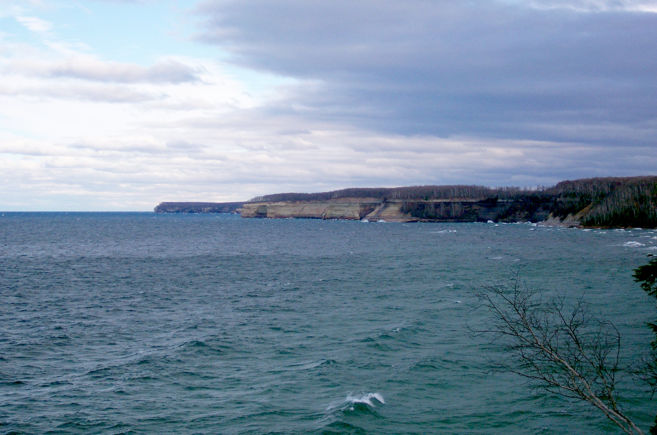
Nestled along the stunning shores of Lake Superior, Pictured Rocks National Lakeshore is a mesmerizing blend of sandstone cliffs, pristine beaches, cascading waterfalls, rolling sand dunes, serene inland lakes, lush forests, and untamed shorelines. Nature enthusiasts and adventure seekers alike are drawn to the park's diverse landscapes, each shaped by the mighty force of Lake Superior. Embark on a journey through this captivating national treasure where the rugged beauty of the sandstone cliffs meets the crystal-clear waters of Lake Superior, creating a breathtaking backdrop for exploration. Whether you're a hiking enthusiast, a camping aficionado, a sightseeing buff, or simply someone who appreciates the great outdoors, Pictured Rocks National Lakeshore offers an array of activities to suit every taste and interest. From leisurely strolls along the sandy beaches to exhilarating hikes through dense forests, the park provides endless opportunities to immerse yourself in nature's splendor. Experience the awe-inspiring vistas, discover hidden waterfalls cascading into tranquil pools, and witness the vibrant colors of the changing seasons that paint the landscape in a kaleidoscope of hues. No matter the time of year, Pictured Rocks National Lakeshore invites visitors to connect with the natural world and embark on unforgettable adventures amidst its unparalleled beauty. Whether you're seeking a summer escape, a winter wonderland, or a tranquil fall retreat, this enchanting destination promises a four-season paradise for all who venture into its embrace. Plan your visit today and unlock the wonders of Pictured Rocks National Lakeshore, where every turn reveals a new marvel waiting to be discovered.
Directions
Your Guide to Navigating Pictured Rocks National Lakeshore Park
Set on the beautiful southern shoreline of Lake Superior, Pictured Rocks National Lakeshore is a breathtaking natural sanctuary nestled within Michigan's Upper Peninsula. Lying between the charming towns of Munising and Grand Marais, it offers a plethora of sightseeing opportunities.
Accessing the Park from the West
If you’re approaching from the western side, your route should take you through Michigan’s M-28 or M-94 highways to the town of Munising. These routes offer an effortlessly accessible gateway to the western area of the park.
Reaching the Park from the East
For those coming from the eastern side, the M-77 State highway will guide you to Grand Marais, giving you direct access to the eastern part of the park. This route is a convenient passage to the area’s pristine beaches, picturesque campgrounds, and captivating trailheads.
The Heart of the Park: Alger County Road H-58
Once you're within the park’s confines, Alger County Road H-58 is your scenic path. This road courses through the park, paralleling the magnificent shoreline and leading to several spur roads. These offshoots will take you to panoramic overlooks, inviting trailheads, serene campgrounds, and untouched beaches. It's the ultimate route to fully experience Pictured Rocks National Lakeshore.
Winter Season Notice
Keep in mind that most park roads, due to the heavy snowfall in winter, are closed during this season. Plan your trip accordingly to ensure an enjoyable and hassle-free experience.
Physical Address
For your GPS convenience, you may use the following address: 1505 Sand Point Road, Munising, MI 49862.
Location
Located in Marquette
Weather Information
Summers are pleasant with the average highs in June, July, and August in the 70s°F, and lows in the low 50s°F. The coldest months are December through March with average highs of 25°F to 32°F, and average lows in the teens. Annual precipitation averages 31 inches; average annual snowfall is about 140 inches, although winters with more than 200 inches are not uncommon. Snow generally covers the ground from late November through late April.
Gallery


Quick Facts
- Designation: National Lakeshore
- City: Marquette
- Park Code: piro
- Website: Official Website
Activities
Topics
Plan Your Visit
Ready to explore Pictured Rocks National Lakeshore? Learn more about the park, plan your trip, and discover the natural wonders that await you.
Visit Official Website