
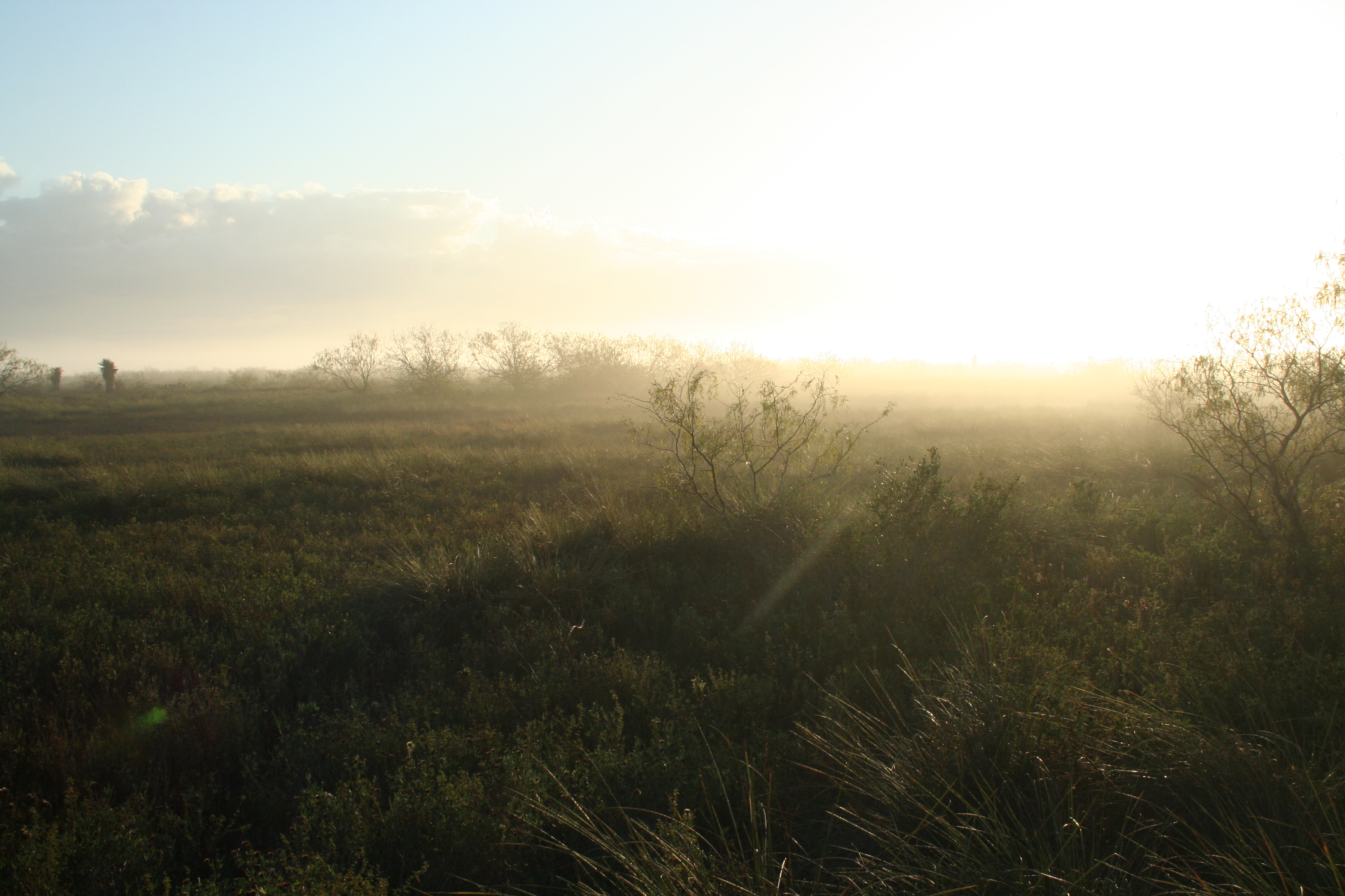
About Palo Alto Battlefield National Historical Park
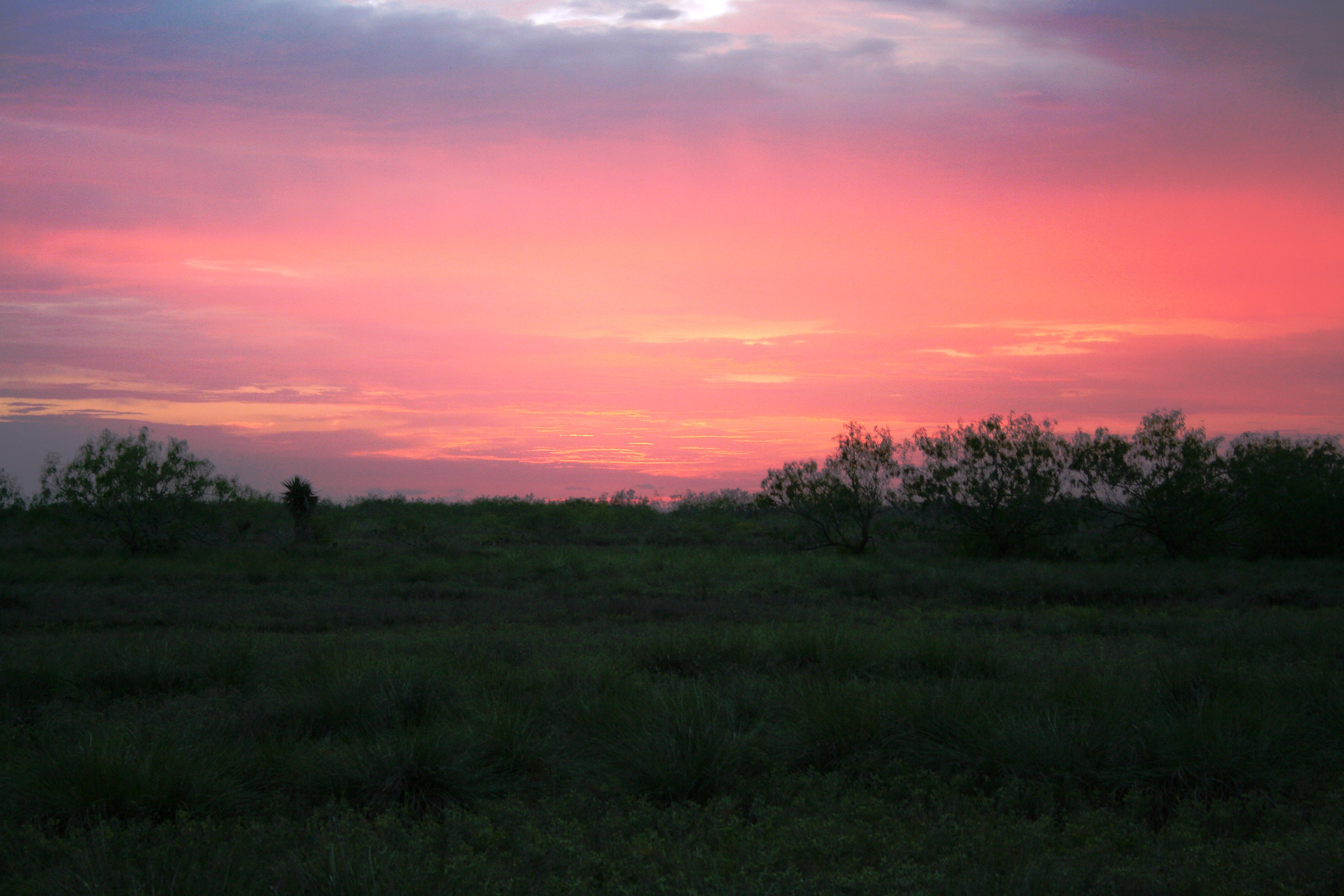
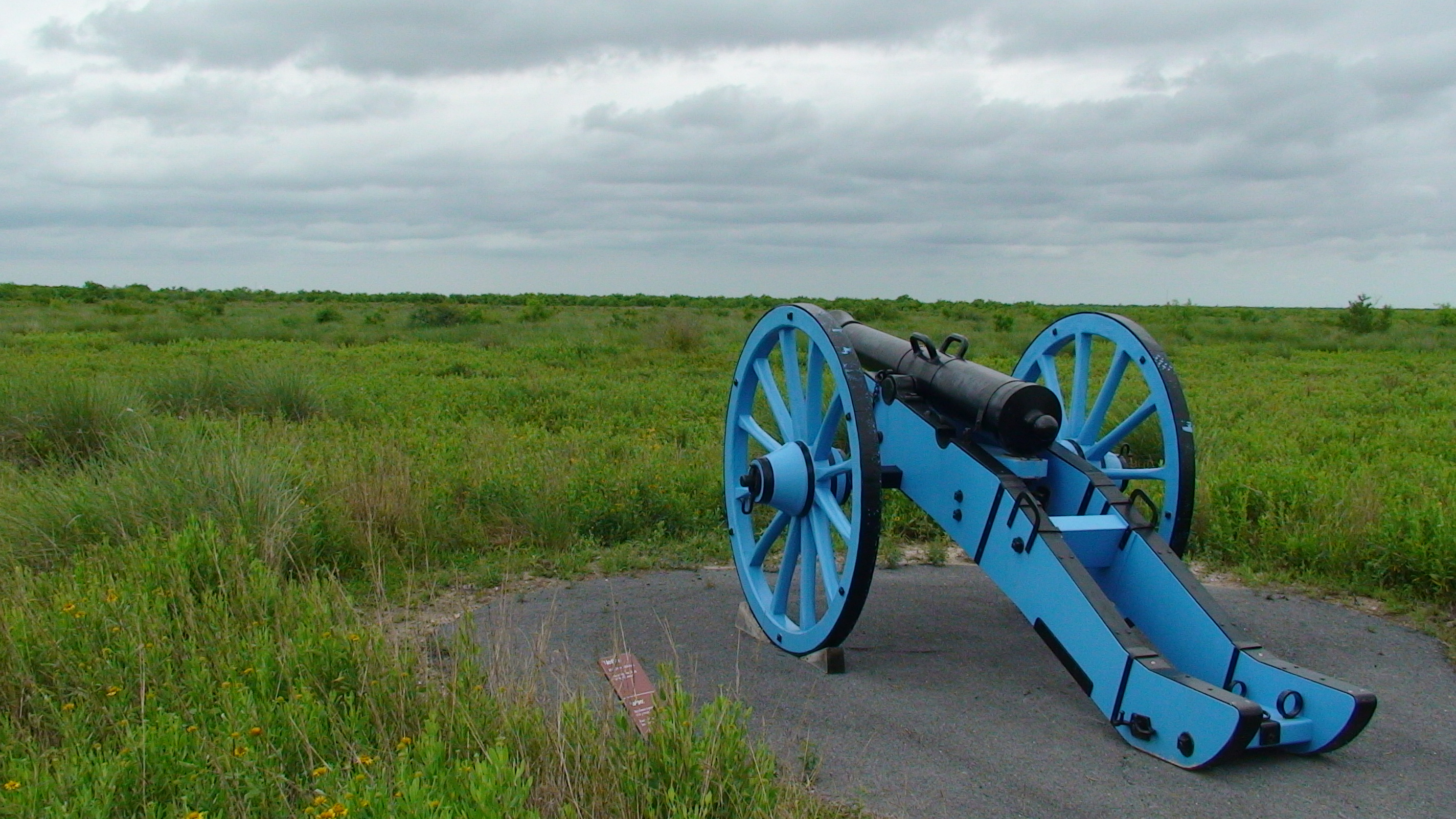
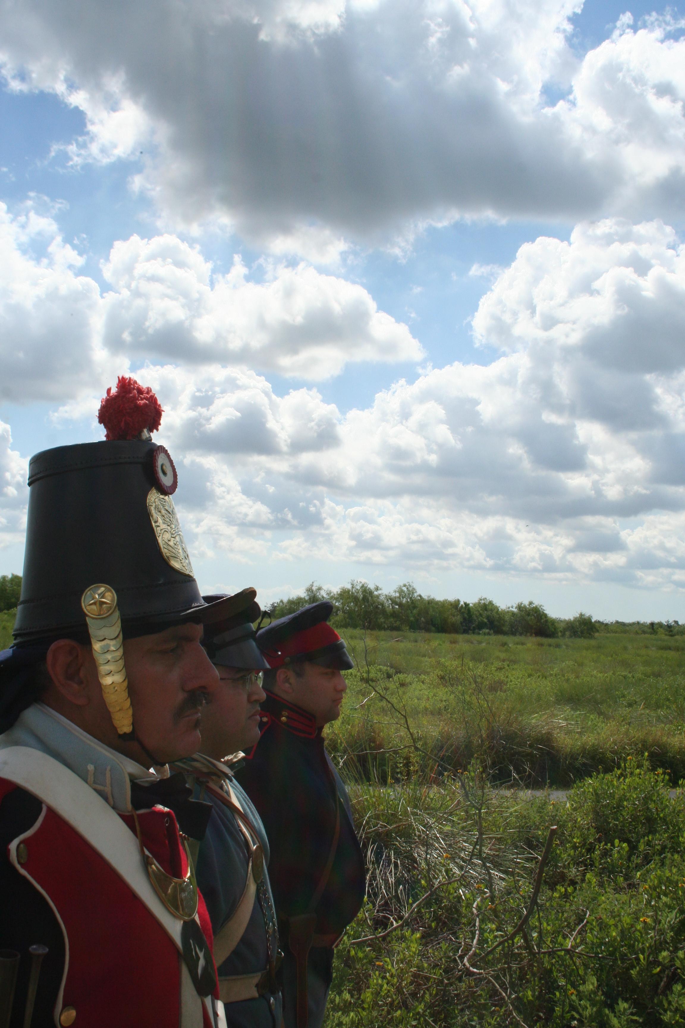
On May 8, 1846, U.S. and Mexican troops clashed on the prairie of Palo Alto. The battle was the first in a two-year long war that changed the map of North America. Although the two countries have developed strong bonds and friendly ties since the war ended in 1848, these neighbors continue to contend with the legacy of the war.
Plan a Visit
Core visitor information on this page is sourced from the National Park Service. NPD proximity sections use NPS reference coordinates and straight-line distance. Local source bundle updated Sep 27, 2026. View the official NPS page.
Weather & Conditions
Summers are hot and humid. Tropical weather systems generally affect the area from August to October. Winters are usually mild but cold fronts can drop temperatures by up to 30 degrees in about an hour.
NPS Reference Location
Park state / territory membership: Texas. This map uses the National Park Service reference coordinate. It may represent an administrative or reference point rather than a park entrance, trailhead, visitor center, or the nearest access point. Use the official NPS directions below when planning travel.
Operating Hours
Park grounds are open daily from 8 am to 5 pm. Visitor center hours of operation differ from park hours of operation and are dependent upon staffing. The visitor center may be closed when the grounds are open. Park trails close to new traffic at 4:30 pm. All gates are locked at 5 pm. All vehicles must clear the park by 5 pm.
Activities
Current Alerts
The historic battlefield trail hike and bike trail gate closes daily at sunset and reopens the next morning.
Getting There
The park is located on Brownsville's north side, near the city of Los Fresnos. It is just north of the intersection of FM 1847 (Paredes Line Rd.) and FM 511/FM 550.
View Official DirectionsContact & Address
The NPS-listed address may be an administrative office, visitor center, mailing/contact location, or other park facility rather than a park entrance.
Topics & Themes
Things To Do
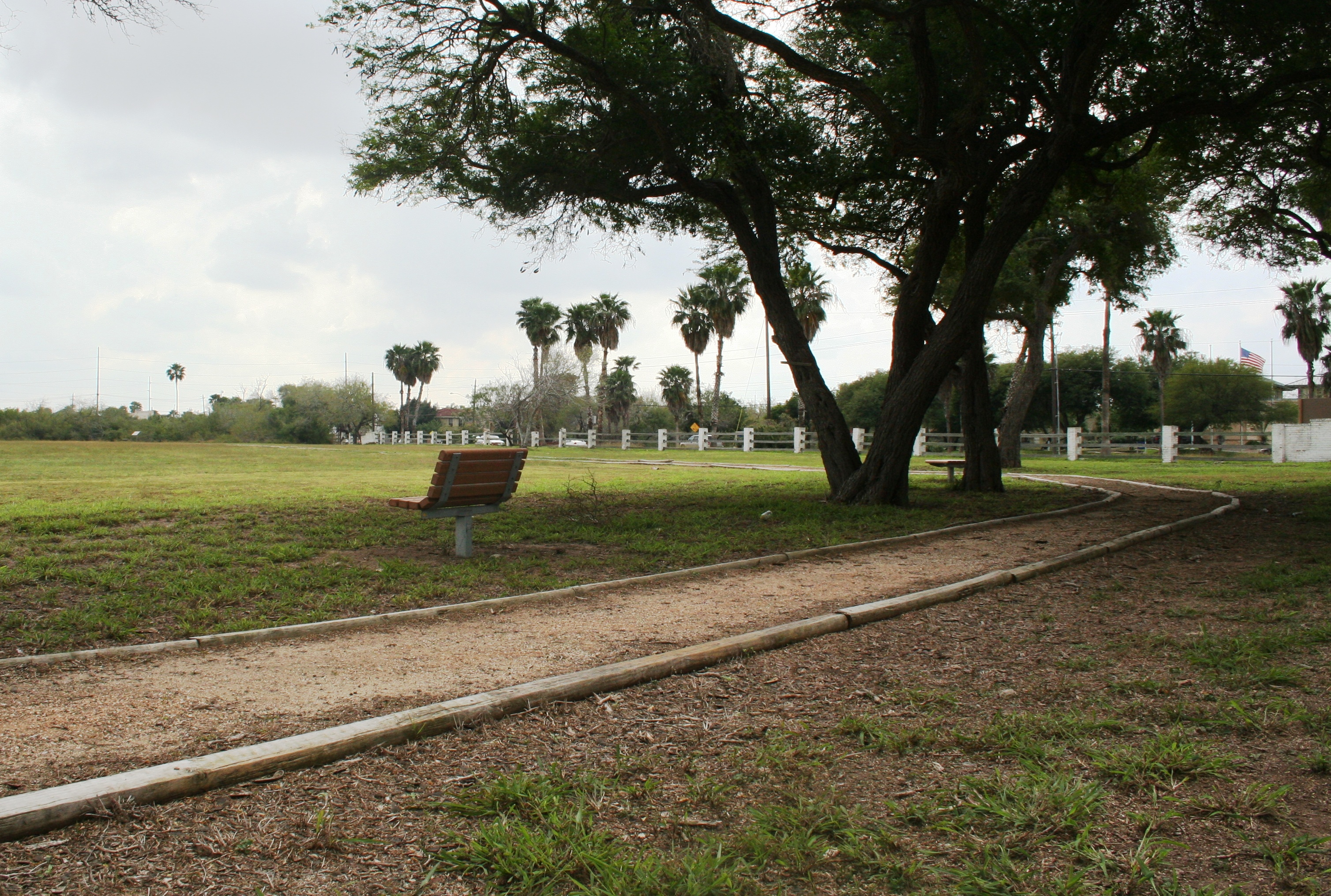
Visit Resaca de la Palma Battlefield
Resaca de la Palma Battlefield features a half-mile circular trail with interpretive waysides. Head out to the observation deck on…
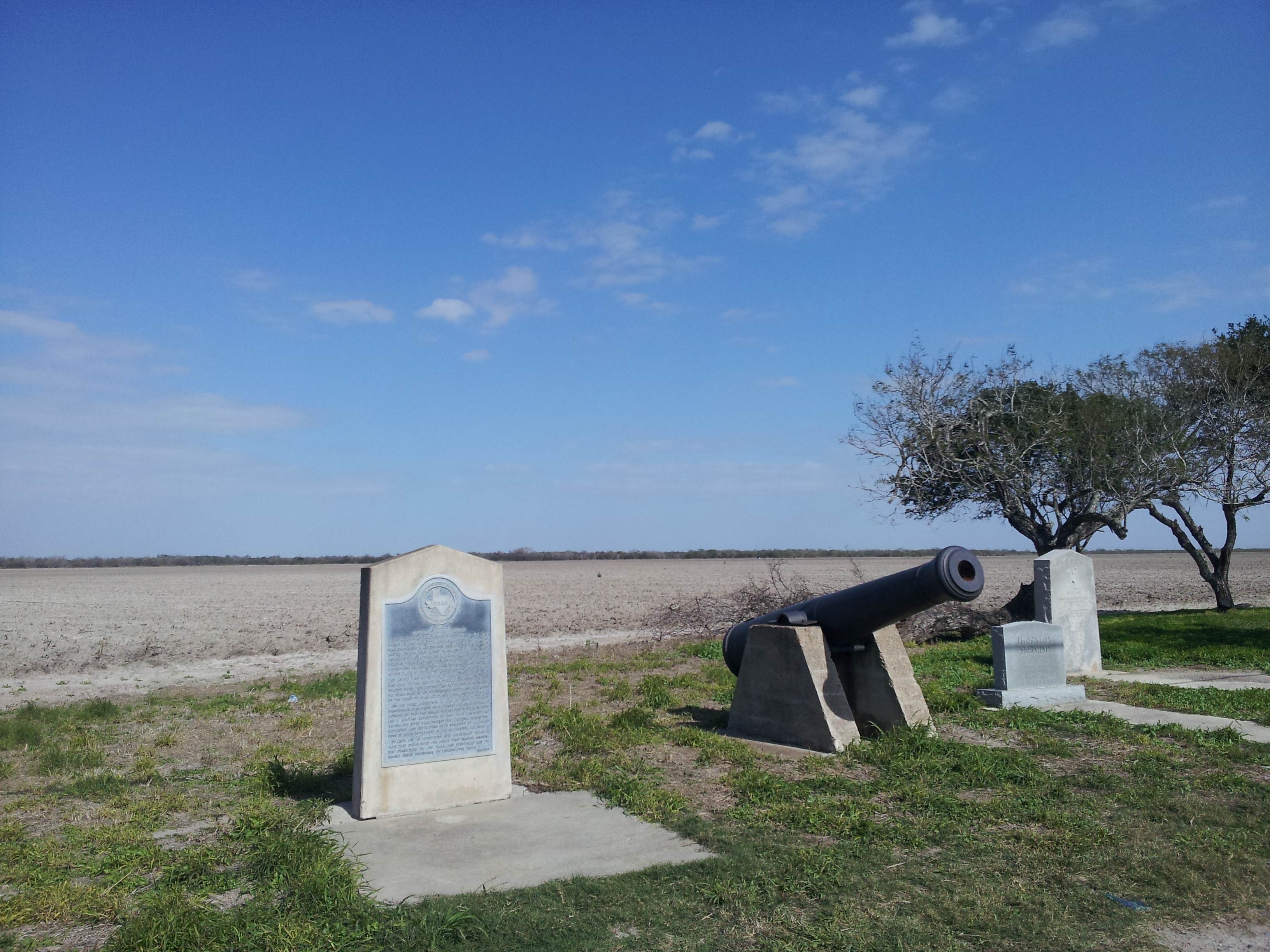
See Where it All Started - Rancho de Carricitos
Visit the site of the first official combat between of the U.S. - Mexican War. On April 24, 1846 Captain…
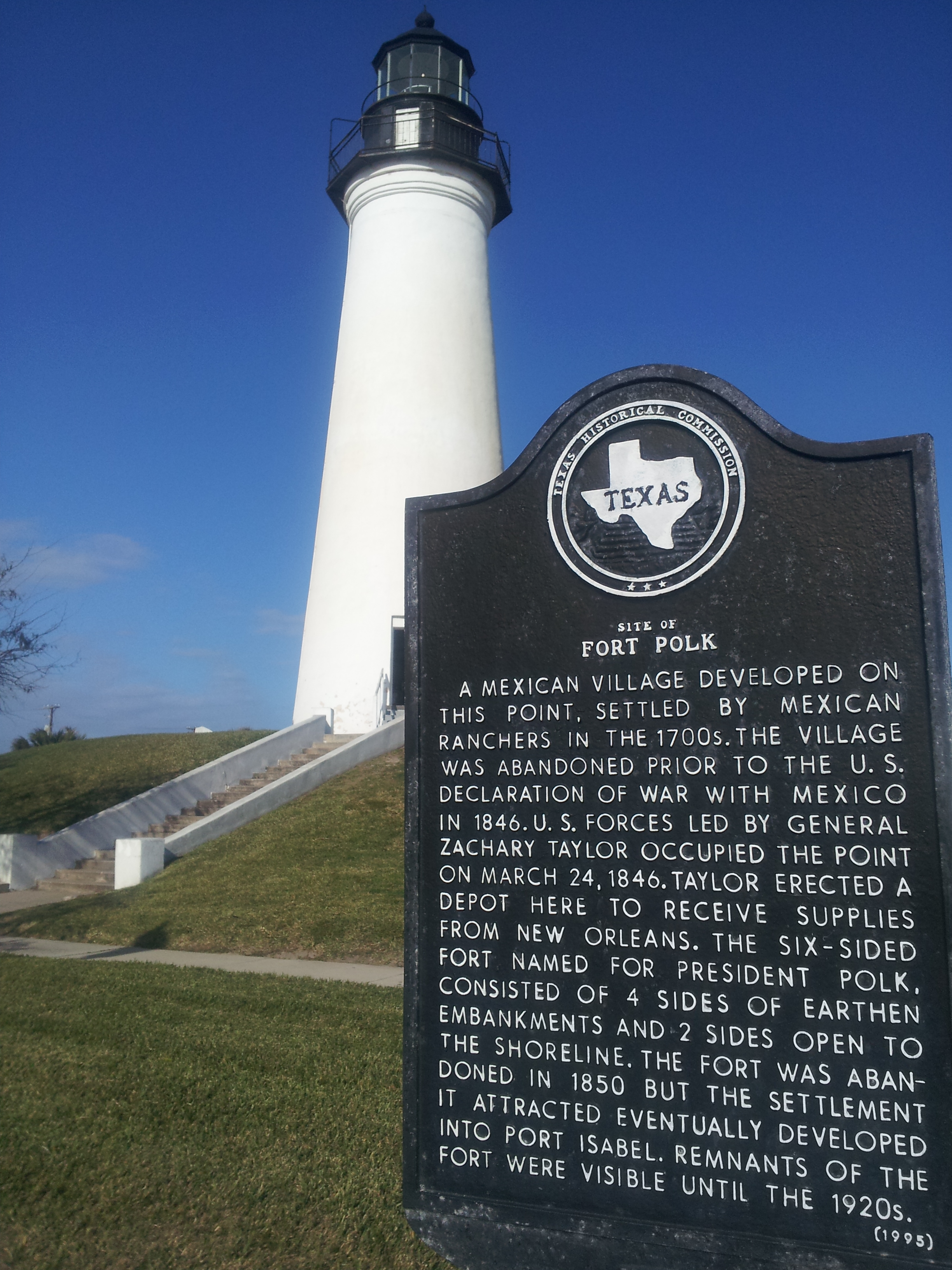
Visiting Fort Polk
When the U.S. army arrived in the Rio Grande delta in March 1846, General Taylor’s first stop was to establish…
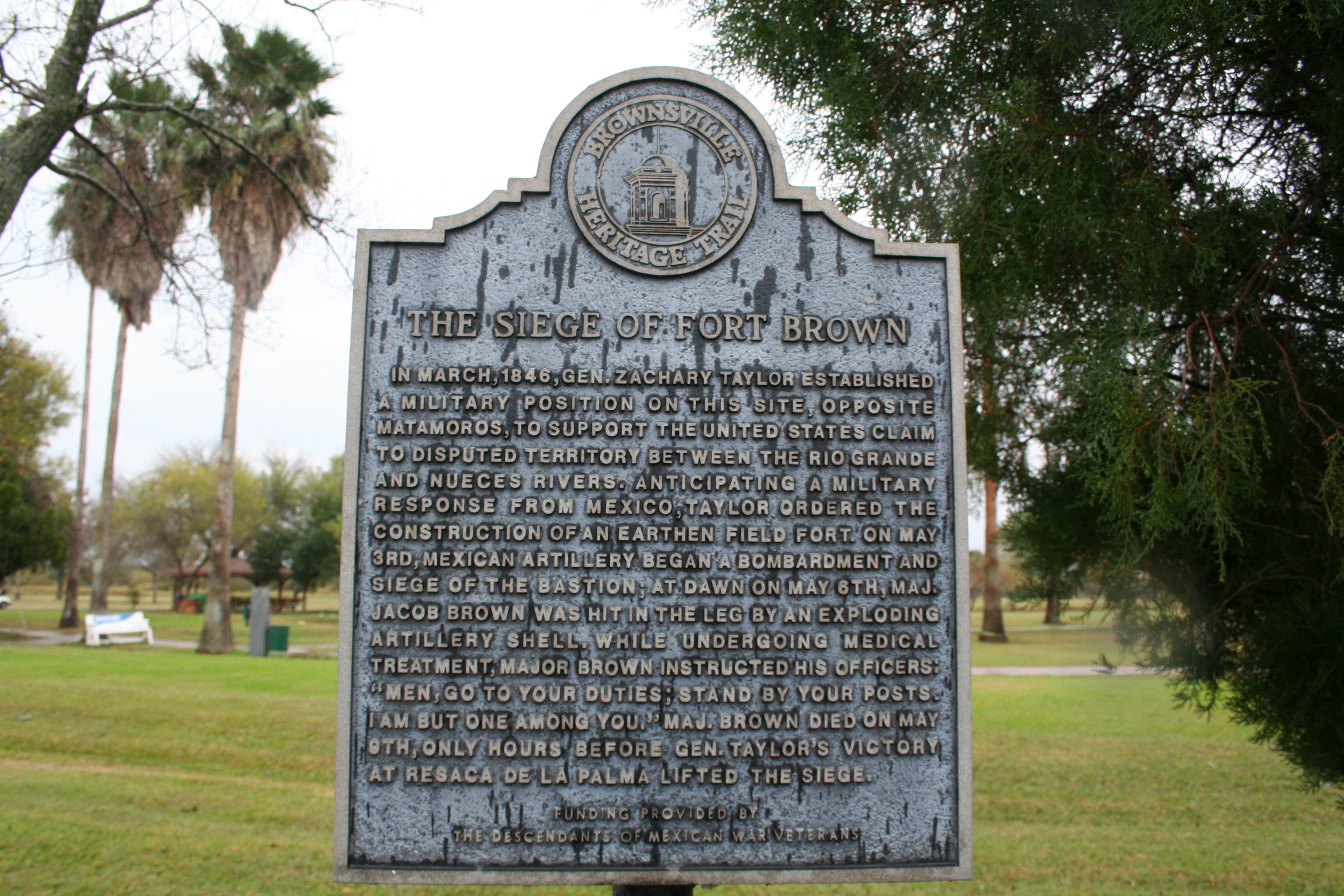
Stand on the Grounds of General Zachary Taylor's Fort on the Rio Grande
Visit the site of the earthen fortification that became known as Fort Brown. While visiting this site you can see…
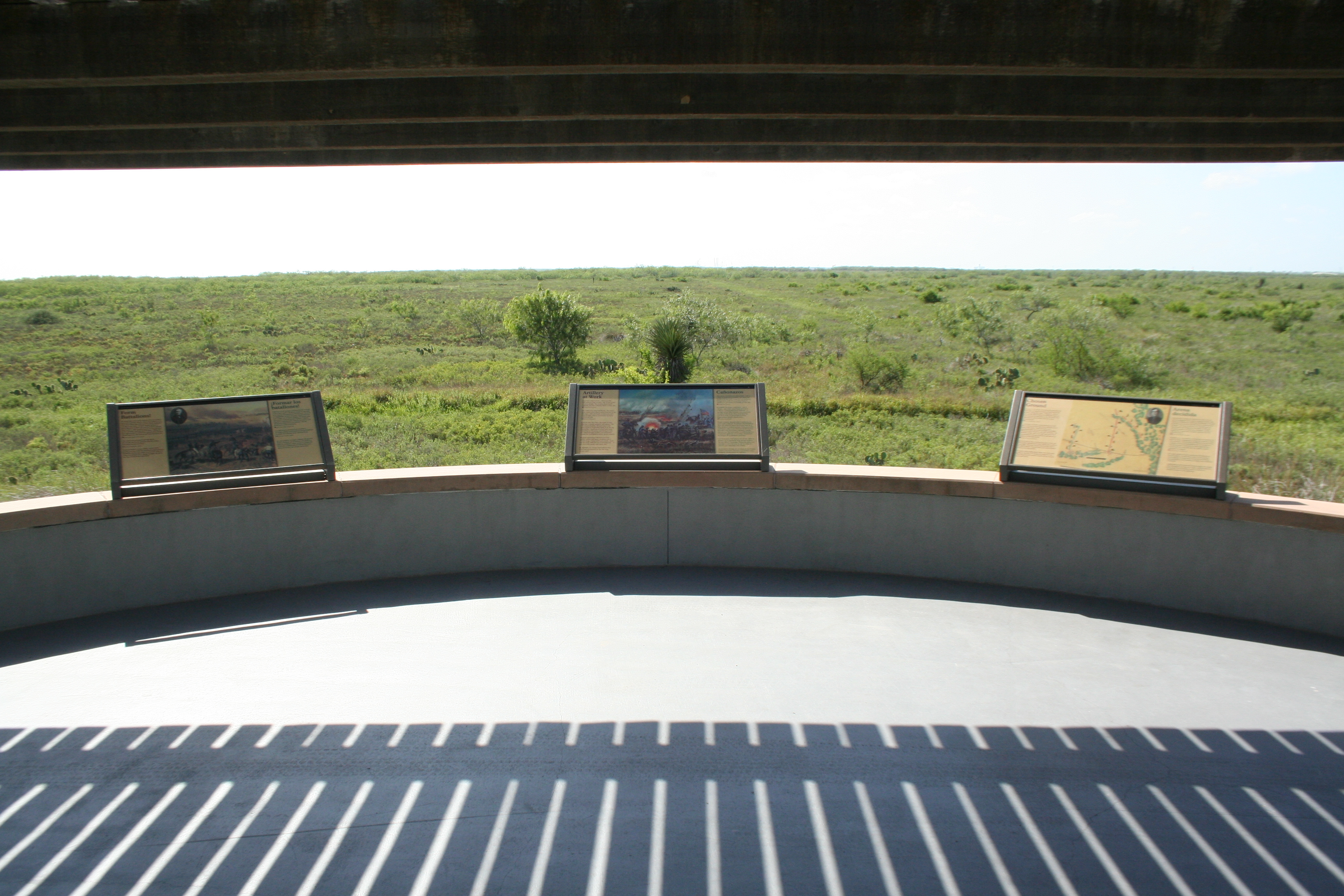
Self-guided Field Trips at Palo Alto Battlefield
Take your teaching to the next level and make Palo Alto Battlefield your classroom. Visiting the site of the first…
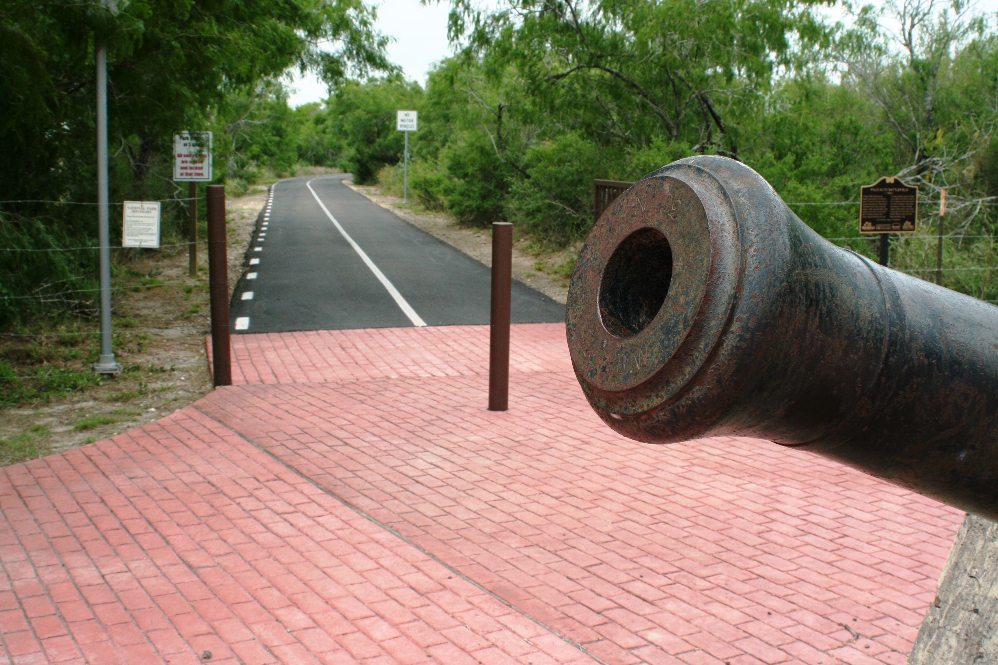
Explore the Brownsville Historic Battlefield Trail
Palo Alto Battlefield serves as a gateway to the Brownsville Historic Battlefield Trail. The trail provides users a healthy way…
More Things to Do
Additional activities and experiences from the National Park Service.
Discover Palo Alto Battlefield’s Visitor Center
Palo Alto Battlefield's visitor center offers indoor and outdoor exhibits. A good place to start is with our 15-minute video—"War on the…
Birding at Resaca de la Palma Battlefield
With almost a mile of walking trails plus a deck over the water, Resca de la Palma Battlefield is a great place…
Hiking the Battlefield Trail
Walk in the footsteps of history! Along your half-mile walk you will see a landscape very much like the one experienced by…
Birding at Palo Alto Battlefield
Grab a pair of binoculars, hit the trail, and see what makes Palo Alto Battlefield a birding hotspot.
Visitor Centers
Palo Alto Visitor Center
The visitor center features an exhibit area features interactive exhibits, artifacts, and Mexican War era military uniforms. The center also offers a 15-minute video—"War on…
Nearby National Park Service Sites
These sites are ordered by straight-line distance between NPS reference coordinates. This is useful for comparison, but it is not road mileage. Trails, parkways, rivers, and distributed units may extend far from their reference point.
Nearby Cities for Trip Planning
These cities are ordered by straight-line distance from the NPS reference coordinate. They are comparison starting points, not official park gateways or road-distance estimates. Trails and other distributed units may extend far beyond this reference point.
🗺️ Guided Tours & Experiences
Discover Palo Alto Battlefield National Historical Park with expert-led tours
We earn a commission if you make a purchase, at no additional cost to you.
🏨 Search Lodging for Palo Alto Battlefield National Historical Park
Review lodging results matching this park or site name
We earn a commission if you make a purchase, at no additional cost to you.