
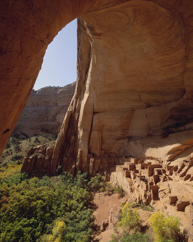
About Navajo National Monument
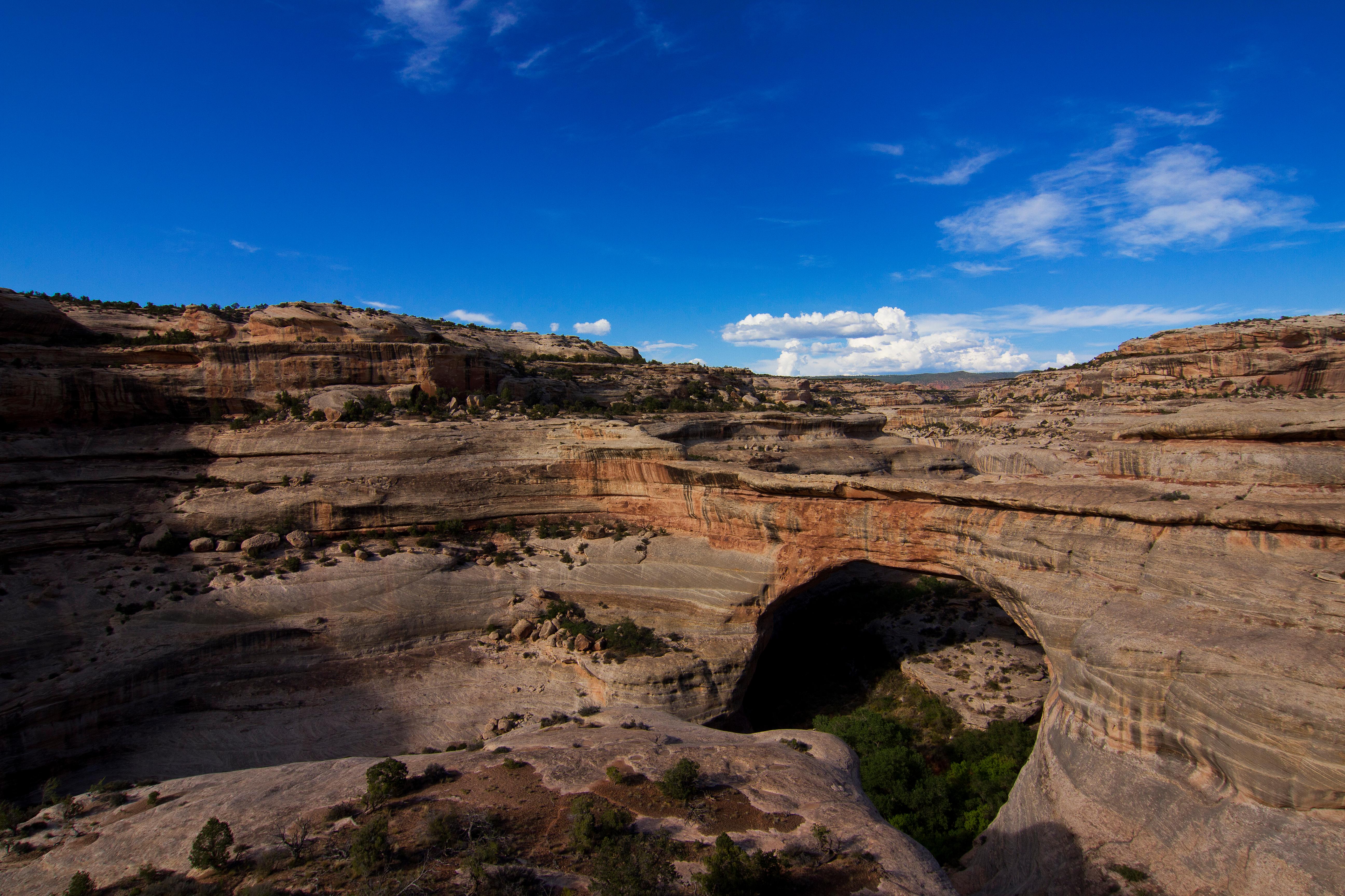
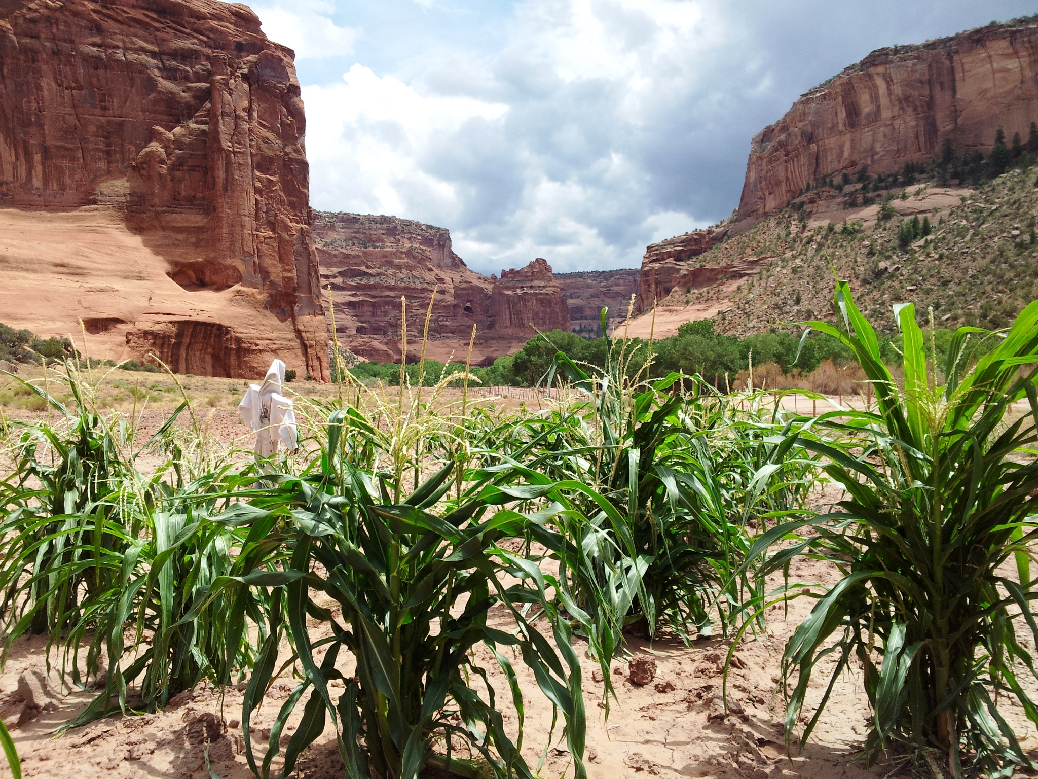
For centuries, the Hopi, San Juan Southern Paiute, Zuni, and Navajo people have lived in the canyons. Springs fed farmlands on the canyon floor and homes were built in the natural sandstone alcoves. The cliff dwellings of Betatakin, Keet Seel, and Inscription House were last physically occupied around 1300 AD but the villages have a spiritual presence that can still be felt today.
Plan a Visit
Core visitor information on this page is sourced from the National Park Service. NPD proximity sections use NPS reference coordinates and straight-line distance. Local source bundle updated Sep 27, 2026. View the official NPS page.
Weather & Conditions
Check weather updates at NOAA.gov and enter city Betatakin, and State, Arizona.
NPS Reference Location
Park state / territory membership: Arizona. This map uses the National Park Service reference coordinate. It may represent an administrative or reference point rather than a park entrance, trailhead, visitor center, or the nearest access point. Use the official NPS directions below when planning travel.
Operating Hours
Summer Season Visitor Center Hours of Operation
Activities
Current Alerts
The park may have delayed openings or closures in the event of severe weather. Travel may not be recommended during these times. Please check local weather forecasts. We appreciate your understanding.
Getting There
Drive 9 Miles at the end of AZ Highway 564, off US Highway 160.
View Official DirectionsContact & Address
The NPS-listed address may be an administrative office, visitor center, mailing/contact location, or other park facility rather than a park entrance.
Topics & Themes
Things To Do
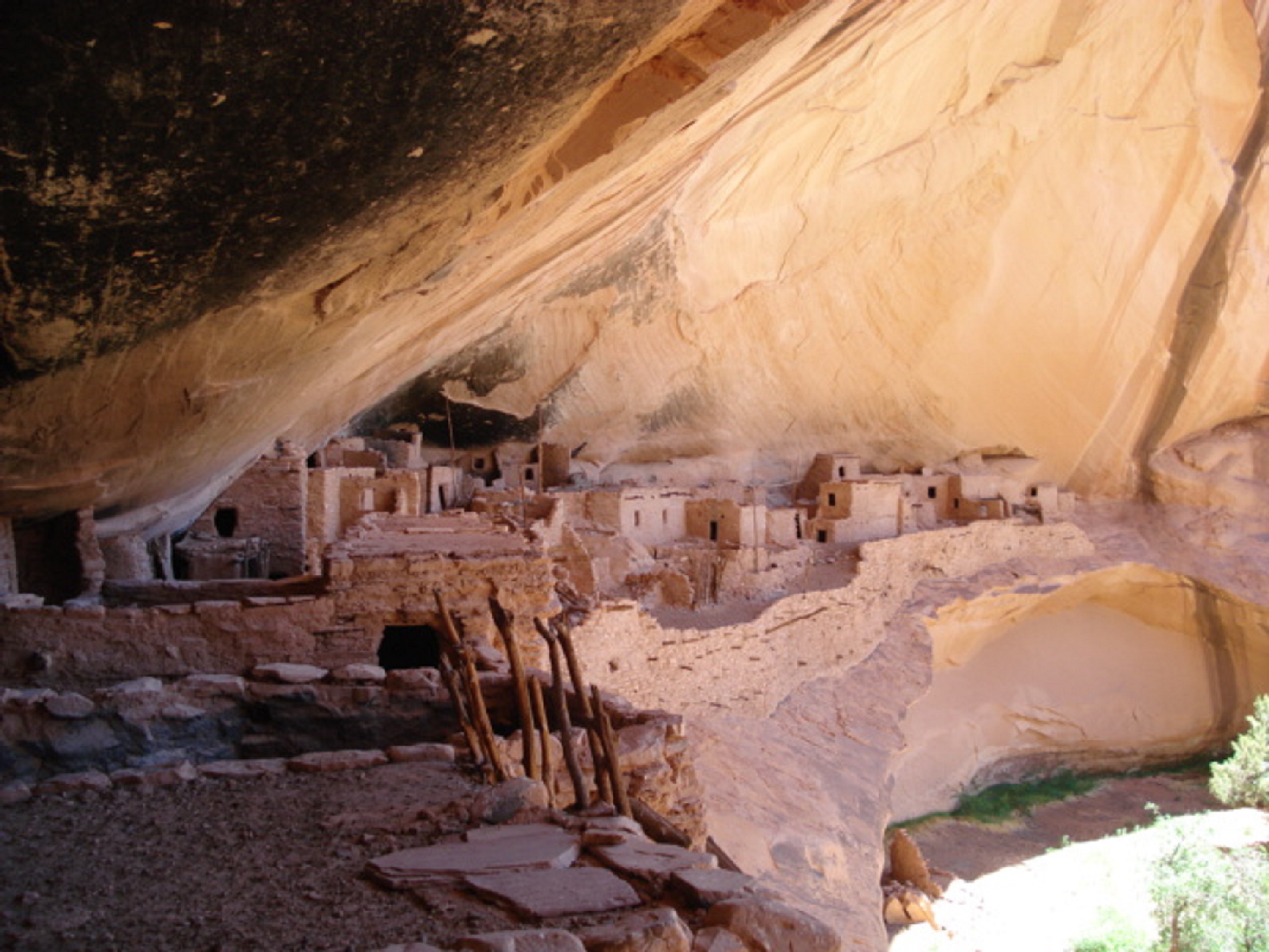
Keet Seel Hike
The back country hike to Keet Seel uses a 17 mile round trip trail. A free permit is required and…
Visitor Centers
Navajo National Monument Visitor Center
Main contact for NAVA is at VC.
Campgrounds
Canyon View Campground
Canyon View Campground is open during the Summer Season from May through September, with 13 sites including 3 large group camping sites. Camping is free.
Sunset View Campground
Sunset View Campground has 31 sites and open all year round.
Nearby National Park Service Sites
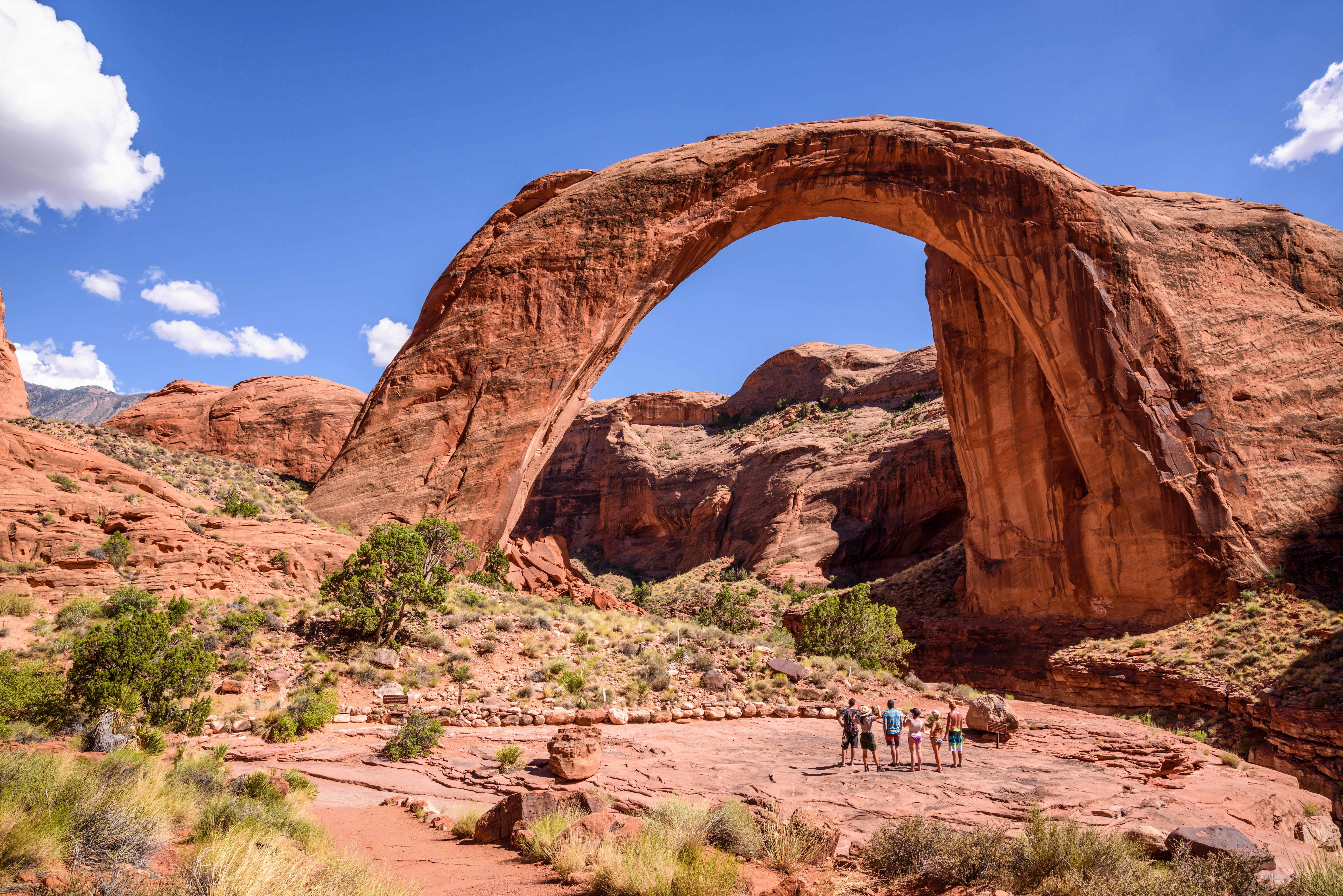
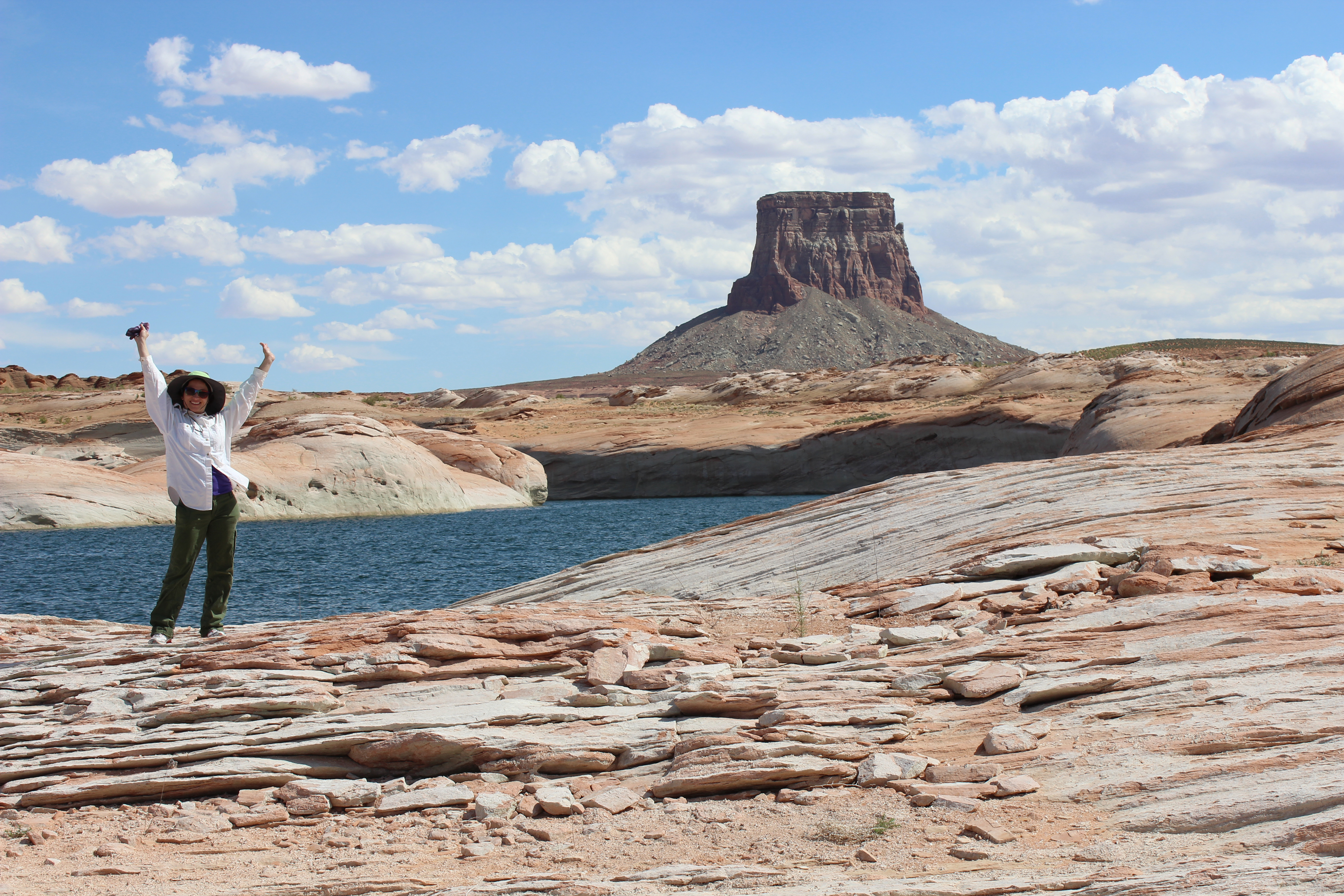
These sites are ordered by straight-line distance between NPS reference coordinates. This is useful for comparison, but it is not road mileage. Trails, parkways, rivers, and distributed units may extend far from their reference point.
Nearby Cities for Trip Planning
These cities are ordered by straight-line distance from the NPS reference coordinate. They are comparison starting points, not official park gateways or road-distance estimates. Trails and other distributed units may extend far beyond this reference point.
🗺️ Guided Tours & Experiences
Discover Navajo National Monument with expert-led tours
We earn a commission if you make a purchase, at no additional cost to you.
🏨 Search Lodging for Navajo National Monument
Review lodging results matching this park or site name
We earn a commission if you make a purchase, at no additional cost to you.