
About Mount Rainier National Park
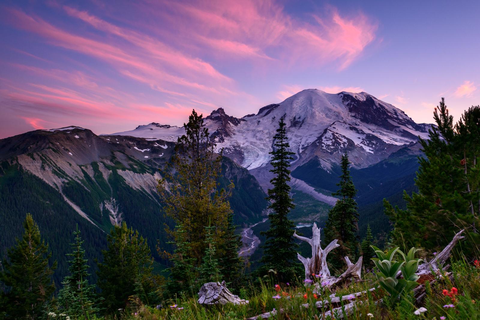
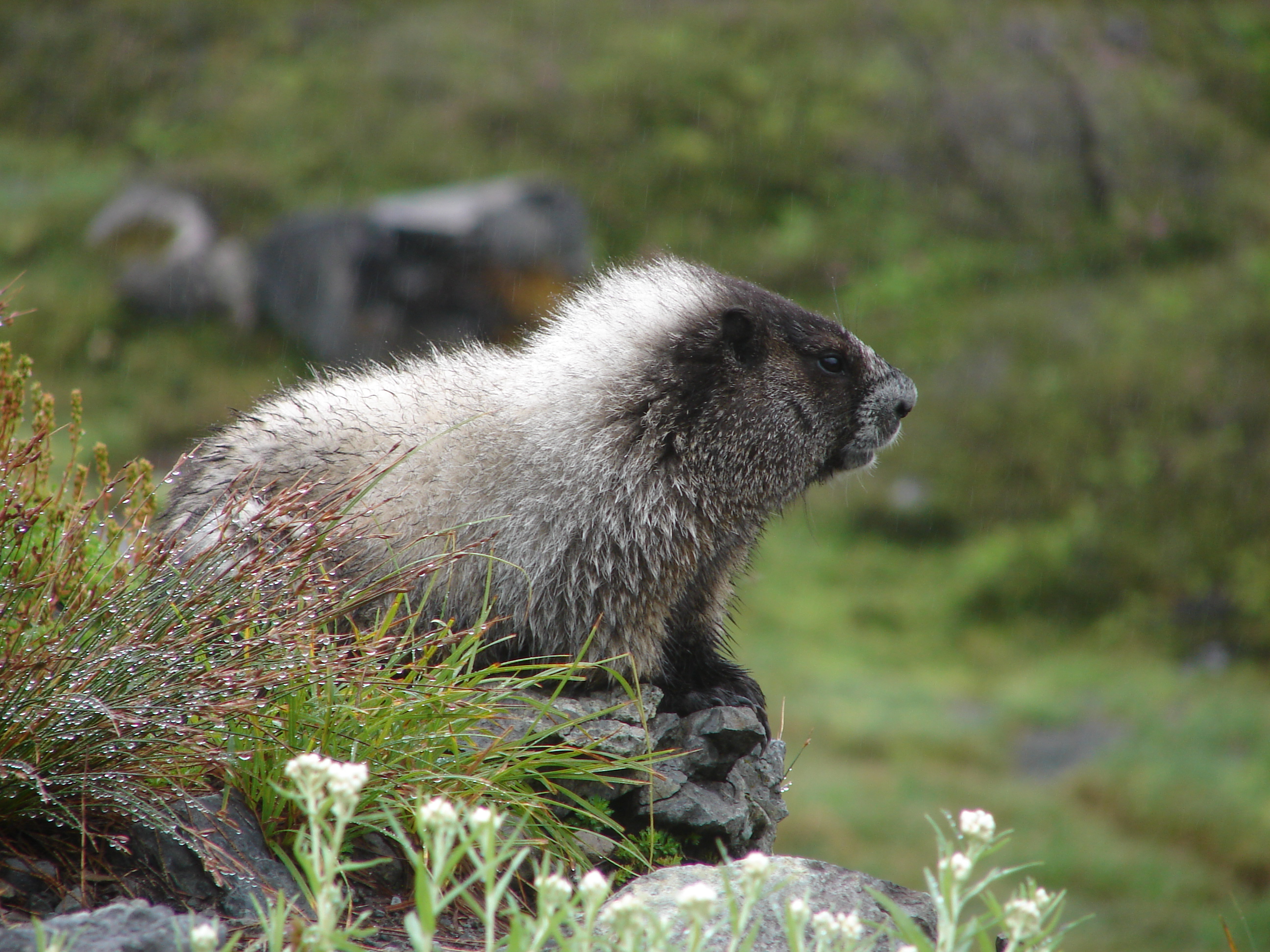
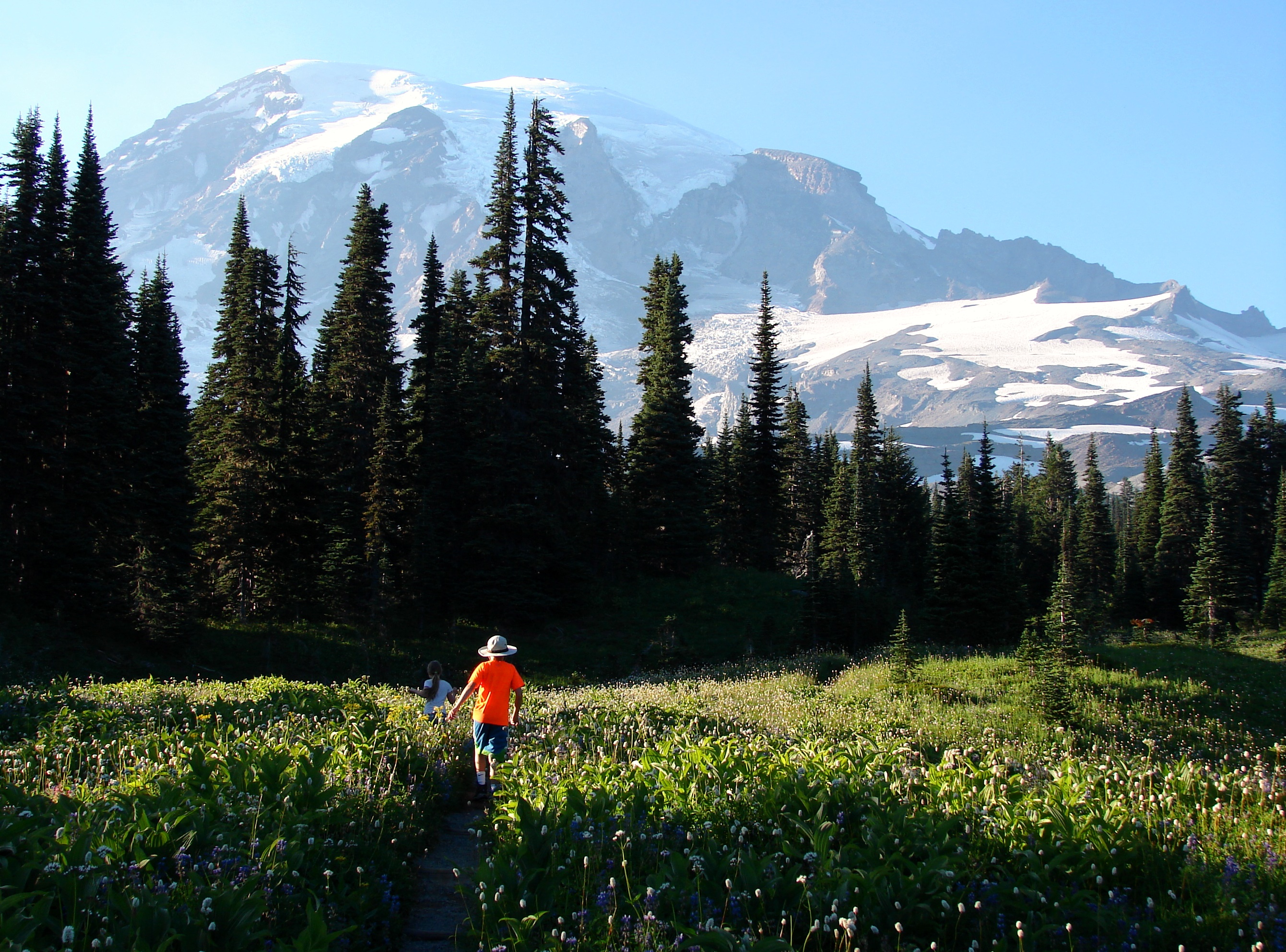
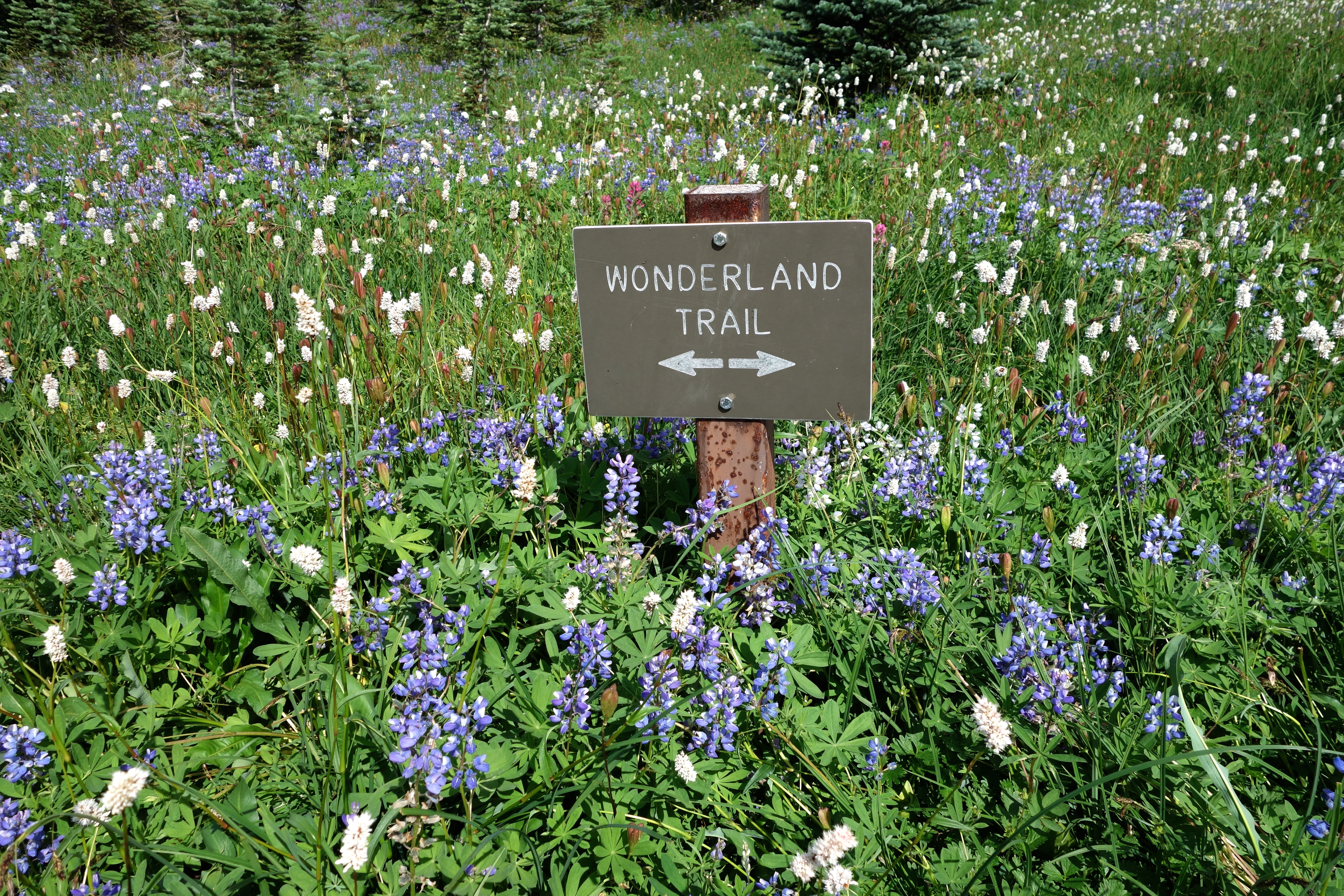
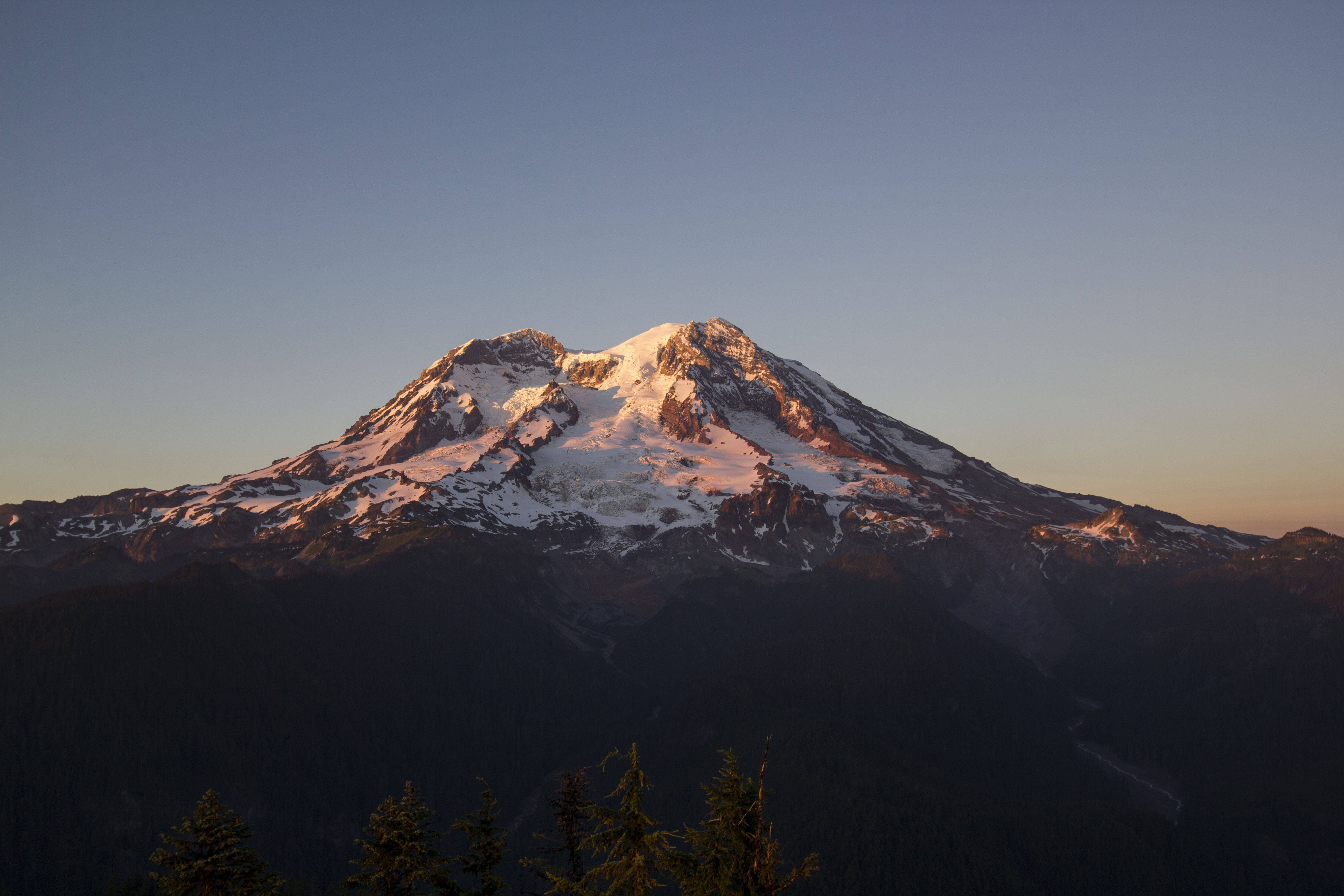
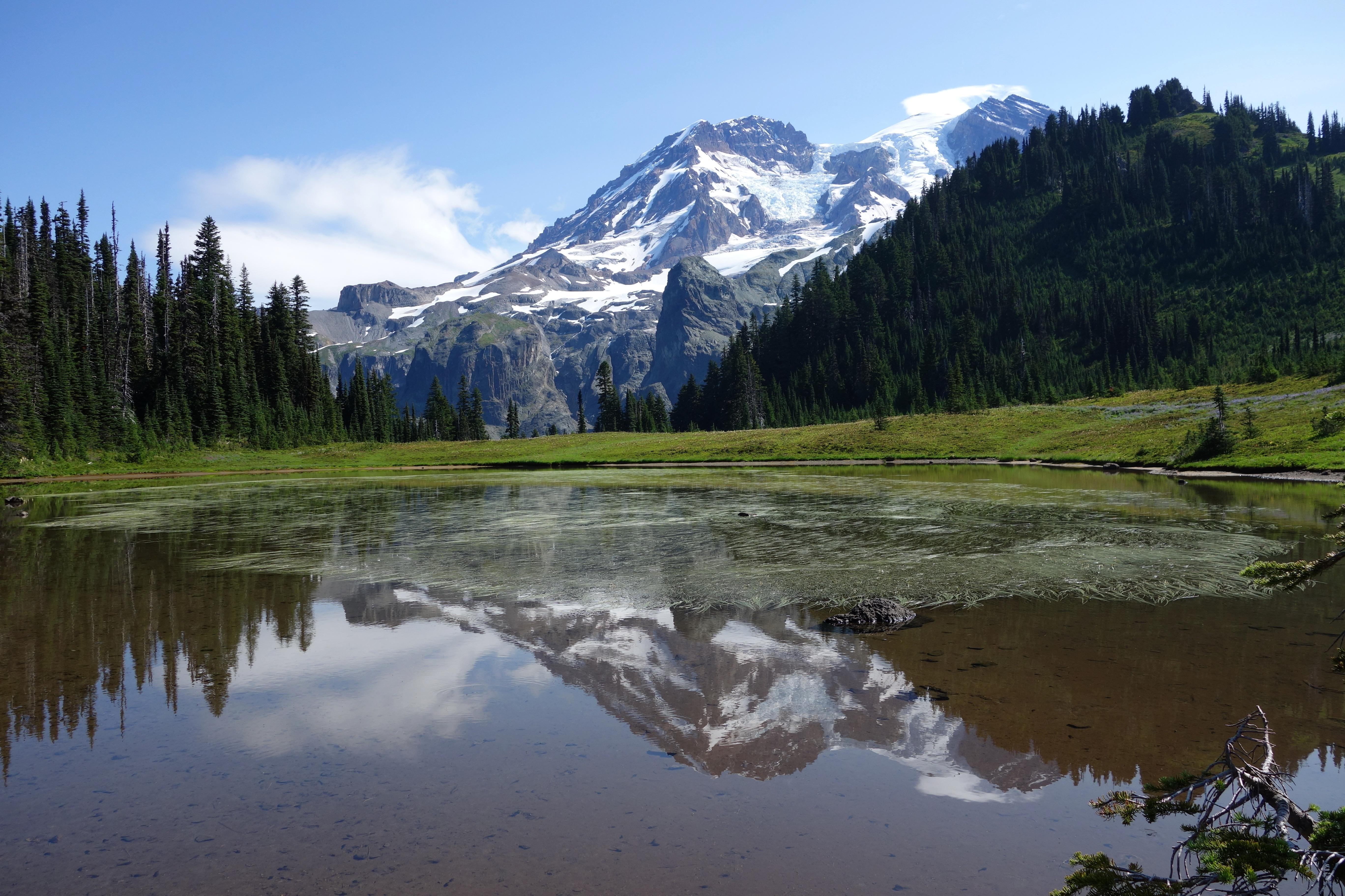
Ascending to 14,410 feet above sea level, Mount Rainier stands as an icon in the Washington landscape. An active volcano, Mount Rainier is the most glaciated peak in the contiguous U.S.A., spawning five major rivers. Subalpine wildflower meadows ring the icy volcano while ancient forest cloaks Mount Rainier’s lower slopes. Wildlife abounds in the park’s ecosystems. A lifetime of discovery awaits.
Plan a Visit
Core visitor information on this page is sourced from the National Park Service. NPD proximity sections use NPS reference coordinates and straight-line distance. Local source bundle updated Sep 27, 2026. View the official NPS page.
Weather & Conditions
Weather patterns at Mount Rainier are strongly influenced by the Pacific Ocean and elevation. The climate is generally cool and rainy, with summer highs in the 60s and 70s. While July and August are the sunniest months of the year, rain is very likely in spring, fall, and winter. Visitors…
NPS Reference Location
Park state / territory membership: Washington. This map uses the National Park Service reference coordinate. It may represent an administrative or reference point rather than a park entrance, trailhead, visitor center, or the nearest access point. Use the official NPS directions below when planning travel.
Entrance Fees
Grants unlimited entry for one vehicle and passengers for seven consecutive days. Vehicle must be private, noncommercial, and with a seating capacity of 15 or less.
Walk-up or single bicycle fee. Grants unlimited entry for seven consecutive days.
Valid for 7 days. Admits up to 2 private, non-commercial motorcycles with up to 4 total passengers.
These fees are charged only to commercial organizations, such as tour companies. This fee is determined by the seating capacity of the vehicle.
These fees are charged only to commercial organizations, such as tour companies. This fee is determined by the seating capacity of the vehicle. NOTE: There are no current road restrictions for unmodified motor coaches of the standard length in the park. However, be aware that roads in the park are steep, narrow, and winding. In particular, it is recommended that RVs and vehicles with trailers longer than 25 feet LOA not travel up the Sunrise Road beyond the White River Campground intersection.
Operating Hours
Mount Rainier National Park is open all year. Visitation peaks in July and August with warmer weather and blooming wildflowers. In spring and autumn, weather determines the availability of facilities and roads. During winter months a number of roads, facilities, and entrances close for the season.
Activities
Current Alerts
Starting September 28, 2026, parking at the Summerland Trailhead will be unavailable on either side of Fryingpan Creek Bridge due to construction through 2029. Access to Summerland remains open via the Wonderland Trail with limited parking at White River Campground. Expect traffic delays of up to 30 minutes due to one-lane traffic on White River Road while it remains open for the season.
Due to several active fires on the north side of the park, the following closures are in effect until further notice: Grand Park area & trails, Northern Loop Trail, Wonderland Trail from Carbon River Suspension Bridge to Frozen Lake, & associated backcountry campgrounds. White River Road & WR Campground reopened along with White River/Sunrise Trails. Sunrise Rd CLOSED to vehicles; open for pedestrians/bicycling only.
Many hikers underestimate the power of moving water. Regardless of your knowledge, skills, and experience use these pointers in making wise decisions before attempting to cross a river.
There are five entrances to the park. GPS may take you to the wrong entrance or attempt to follow the most direct route, which could lead to closed gates. It can take hours to reroute to the correct entrance. Check directions & maps, not just your GPS.
Lengthy delays are likely at the southwest park entrance on SR706 on weekends. Check Google Maps for backup (represented by the orange/red line) at link below. Please do not block driveways or roads while in line outside the park.
The entire Ohanapecosh Campground area is CLOSED for the duration of the construction project, including all campsites, visitor center, restrooms, picnic area, & Ohanapecosh river access.
There is NO public access to Carbon River & Mowich Lake from SR 165. The bridge is closed to pedestrians, bicycles and vehicles and there is no alternate route.
Getting There
Mount Rainier National Park is located in west-central Washington state. Several major cities in Washington- Seattle, Tacoma, and Yakima- and Portland, Oregon, are within 200 miles of the park. For GPS to Nisqually Entrance use: 39000 State Route 706 E, Ashford, WA 98304.
View Official DirectionsContact & Address
The NPS-listed address may be an administrative office, visitor center, mailing/contact location, or other park facility rather than a park entrance.
Entrance Passes
Grants unlimited entry for one year to pass owner and passengers in a single, private, non-commercial vehicle. This pass does not cover camping fees and is non-transferable and non-refundable. If you already own a valid annual or lifetime pass (Interagency Senior, Annual, Military, etc) you do not need to purchase this pass. NOTE: The Discover Pass is for Washington State Parks only and does not cover Mount Rainier National Park.
Topics & Themes
Things To Do
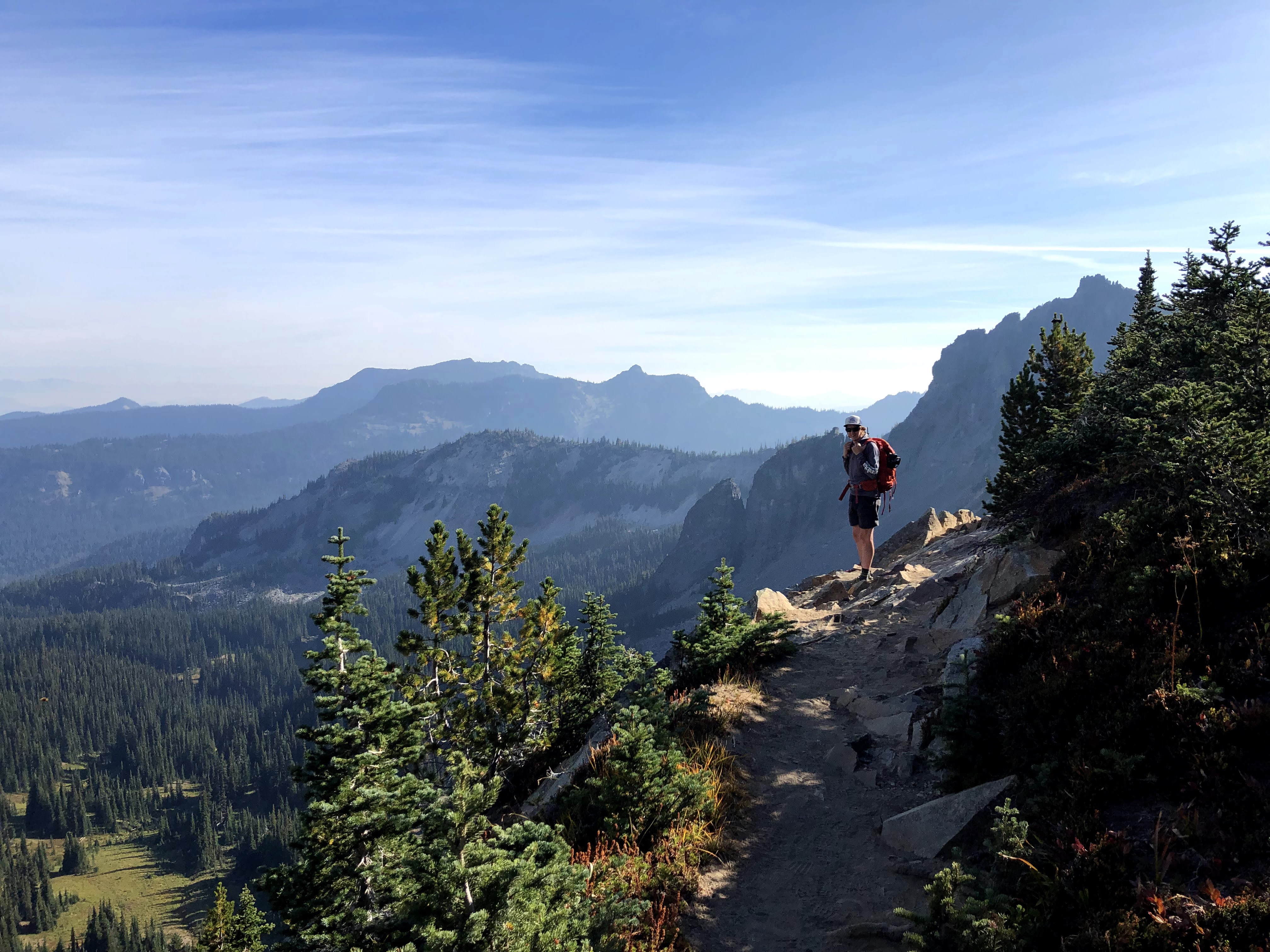
Wilderness Camping at Mount Rainier National Park
With 97% of the park designated wilderness, backpacking and wilderness camping is one of the best ways to experience Mount…
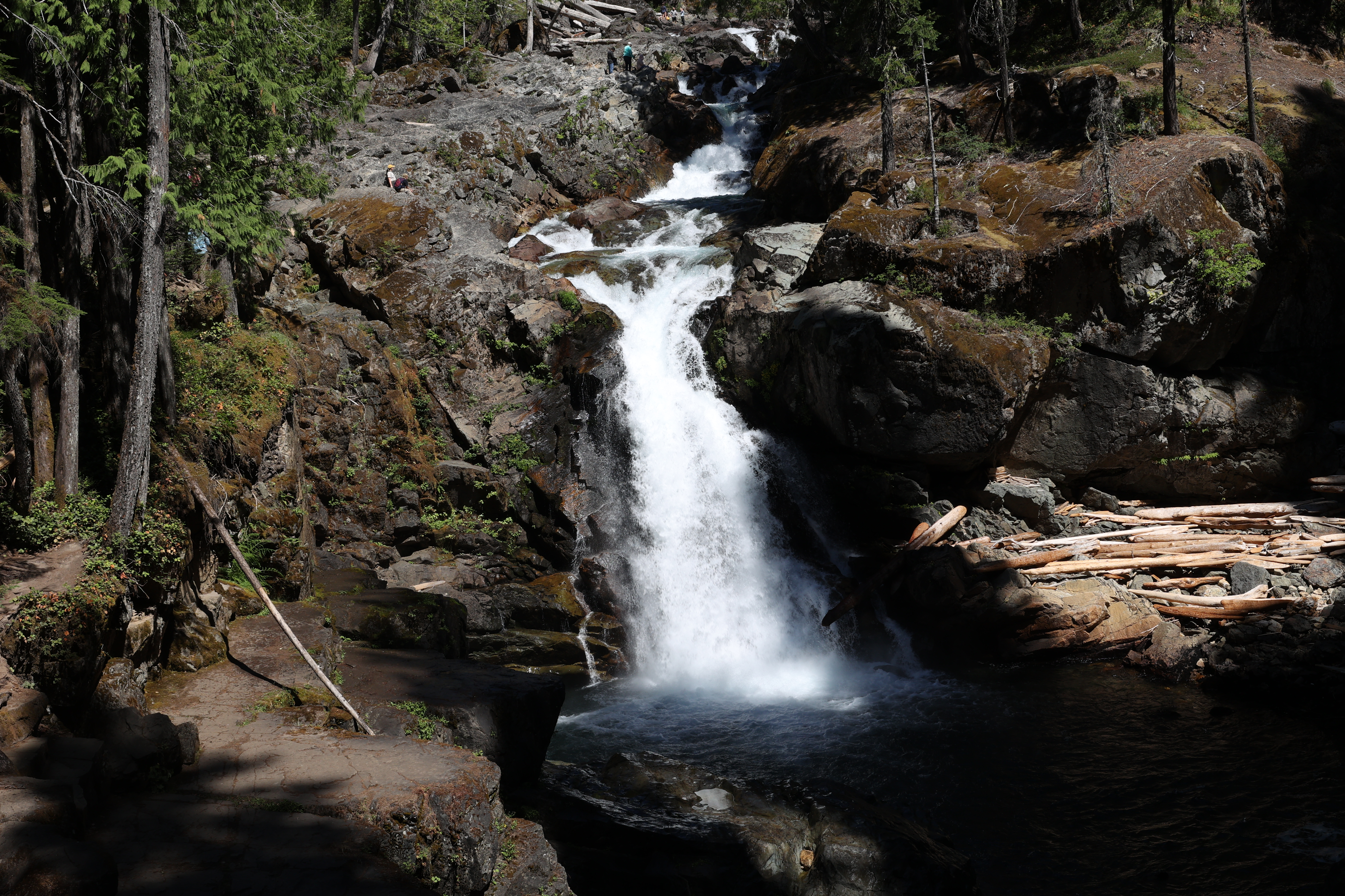
Hike to Silver Falls
Enjoy a moderate, family-friendly loop hike through the forest to a beautiful waterfall along the Ohanapecosh River.
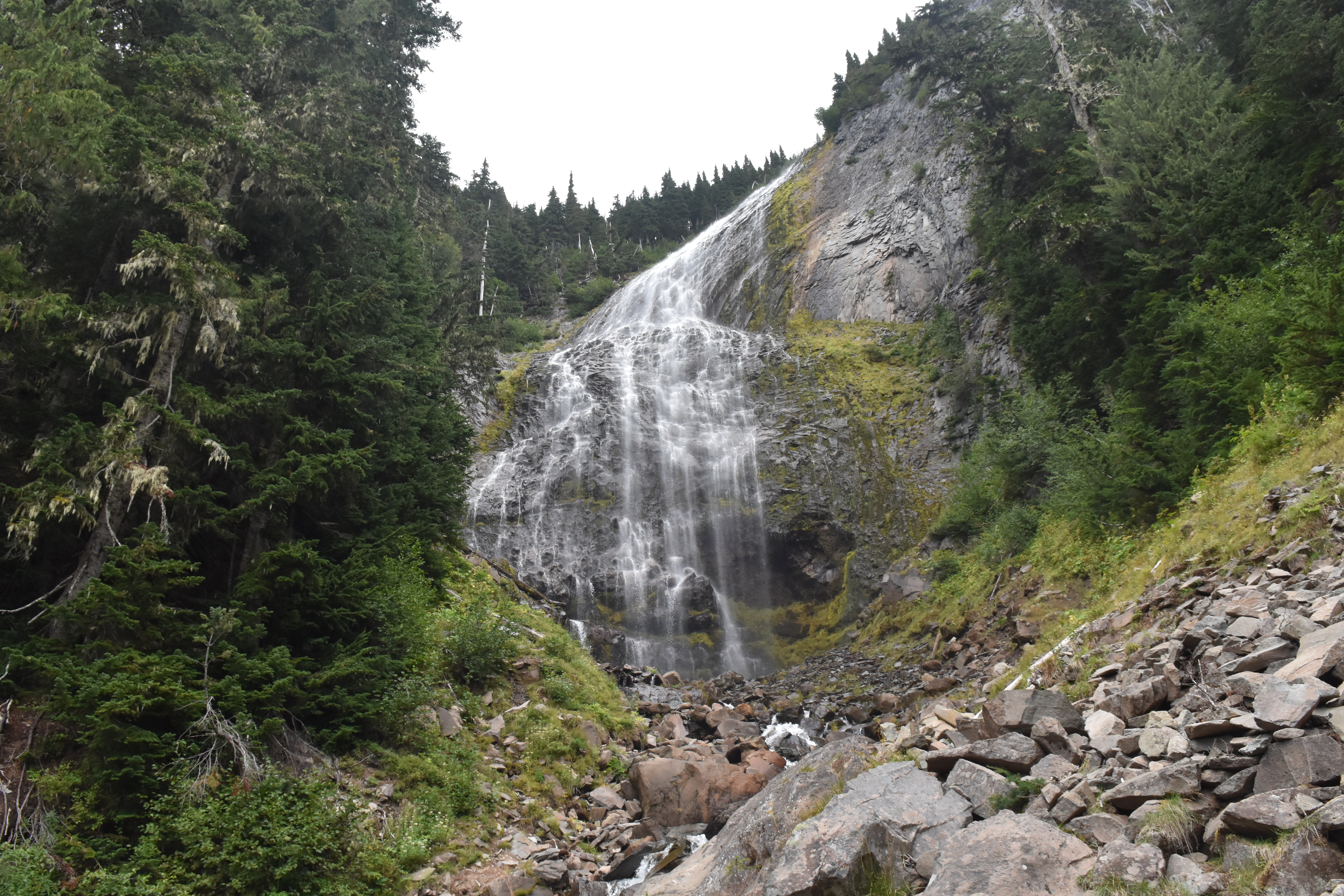
Hike to Spray Falls
Enjoy a short hike from Mowich Lake to a large cascading waterfall fed by a glacier.
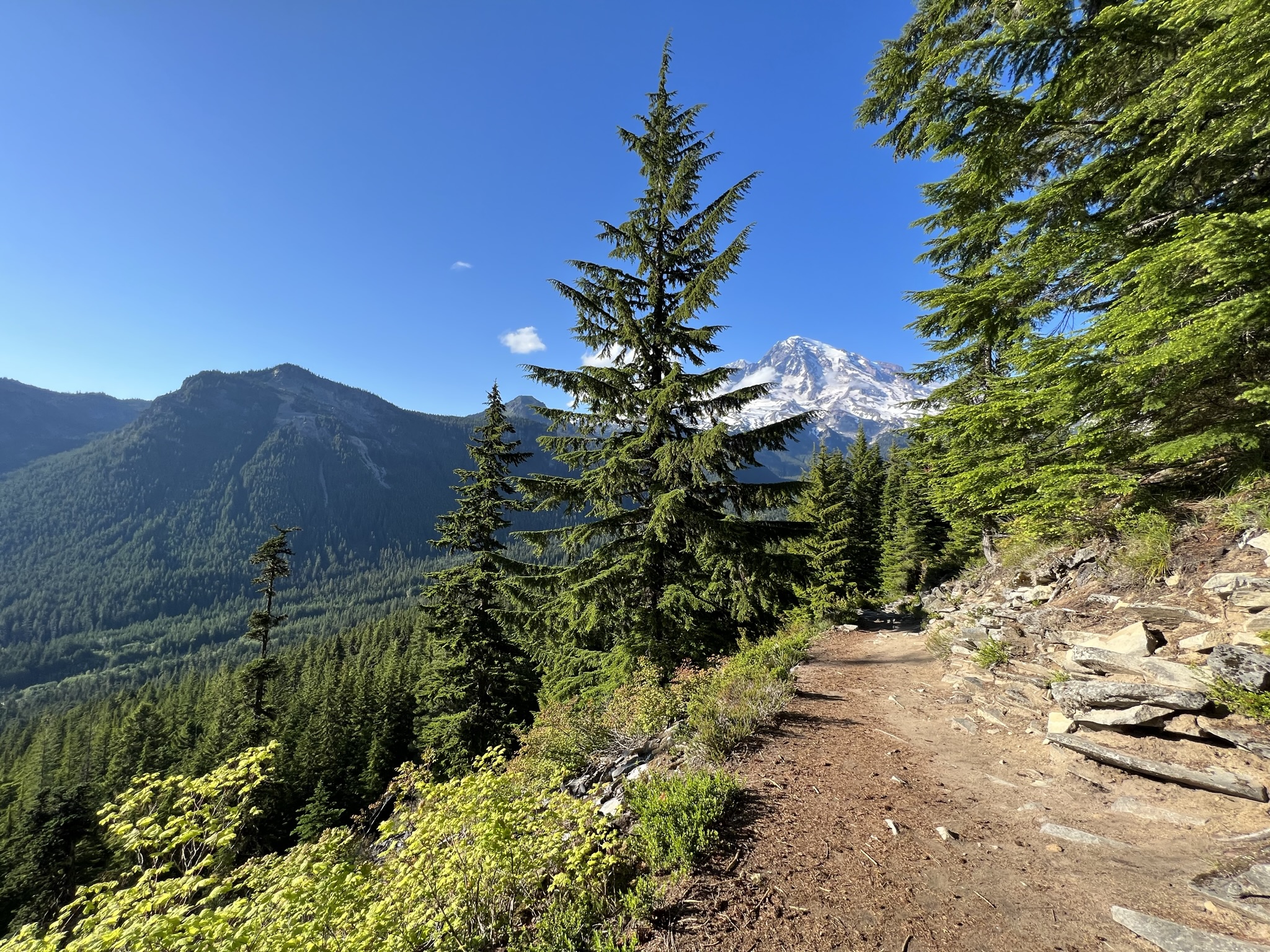
Hike Rampart Ridge
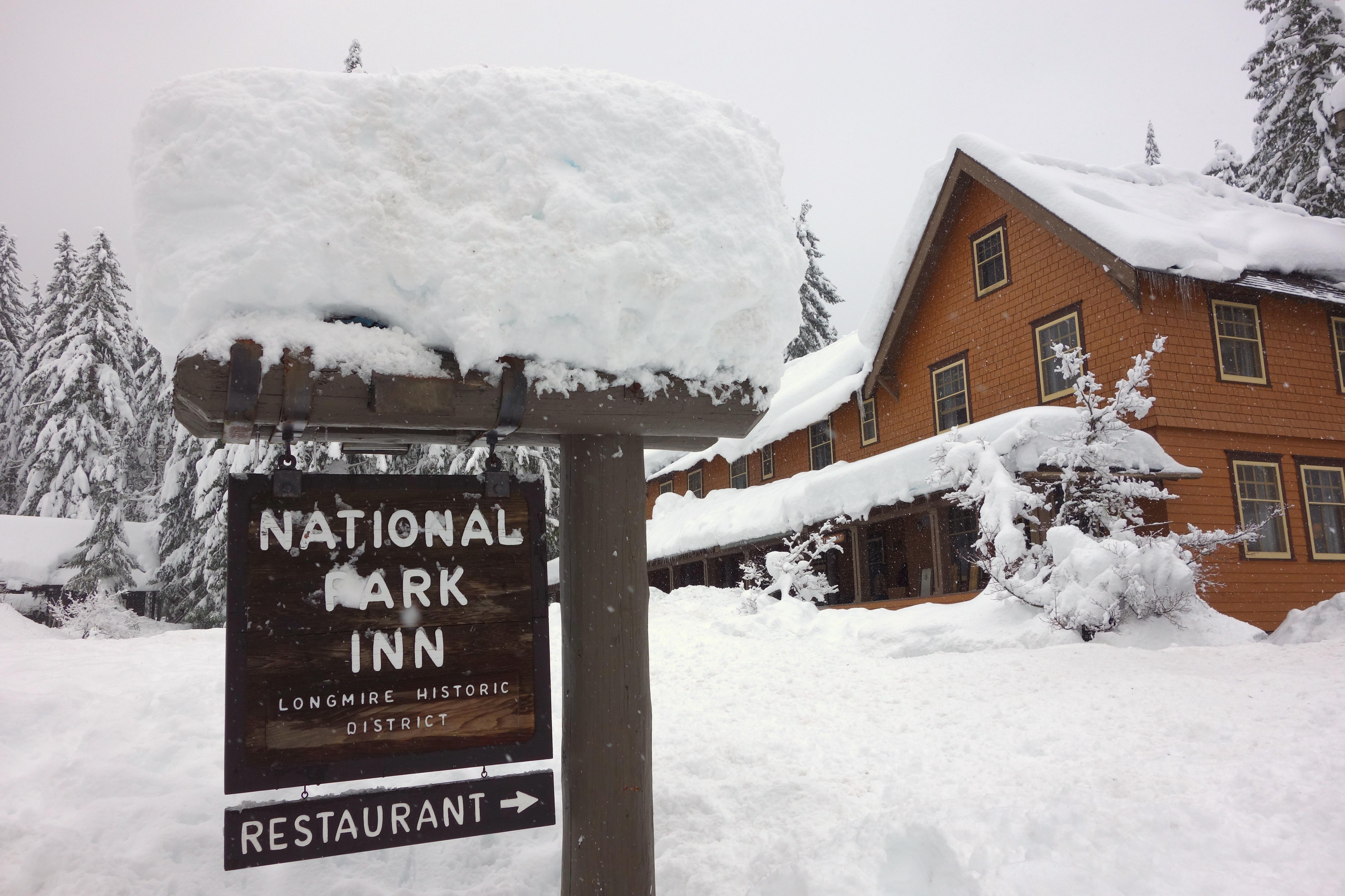
This loop trail explores the forest around Longmire, with glimpses of Mount Rainier and the Nisqually River Valley.
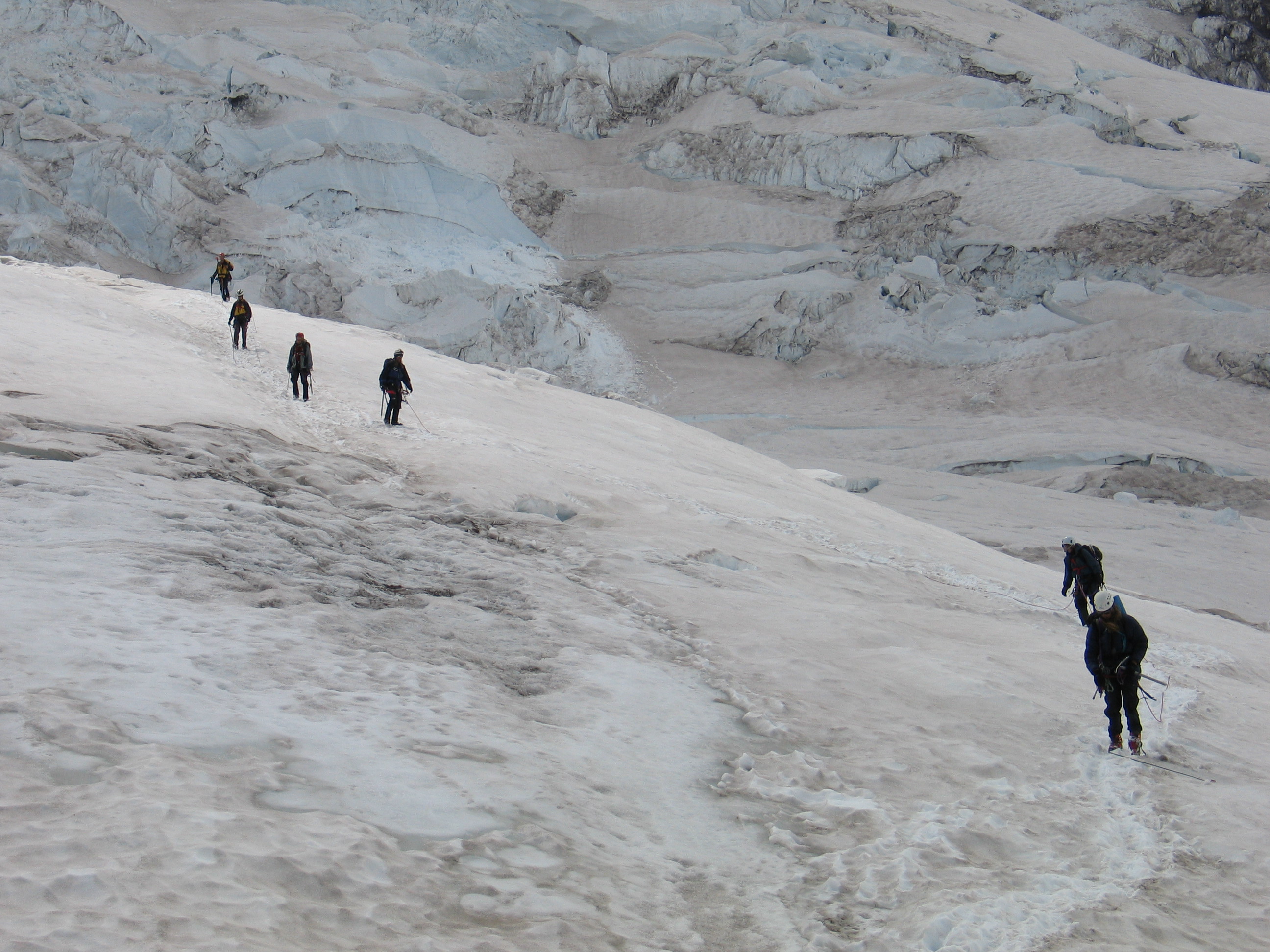
Climbing Mount Rainier
Mount Rainier, the most heavily glaciated peak in the contiguous United States, offers an exciting challenge to the mountaineer. Climbers…
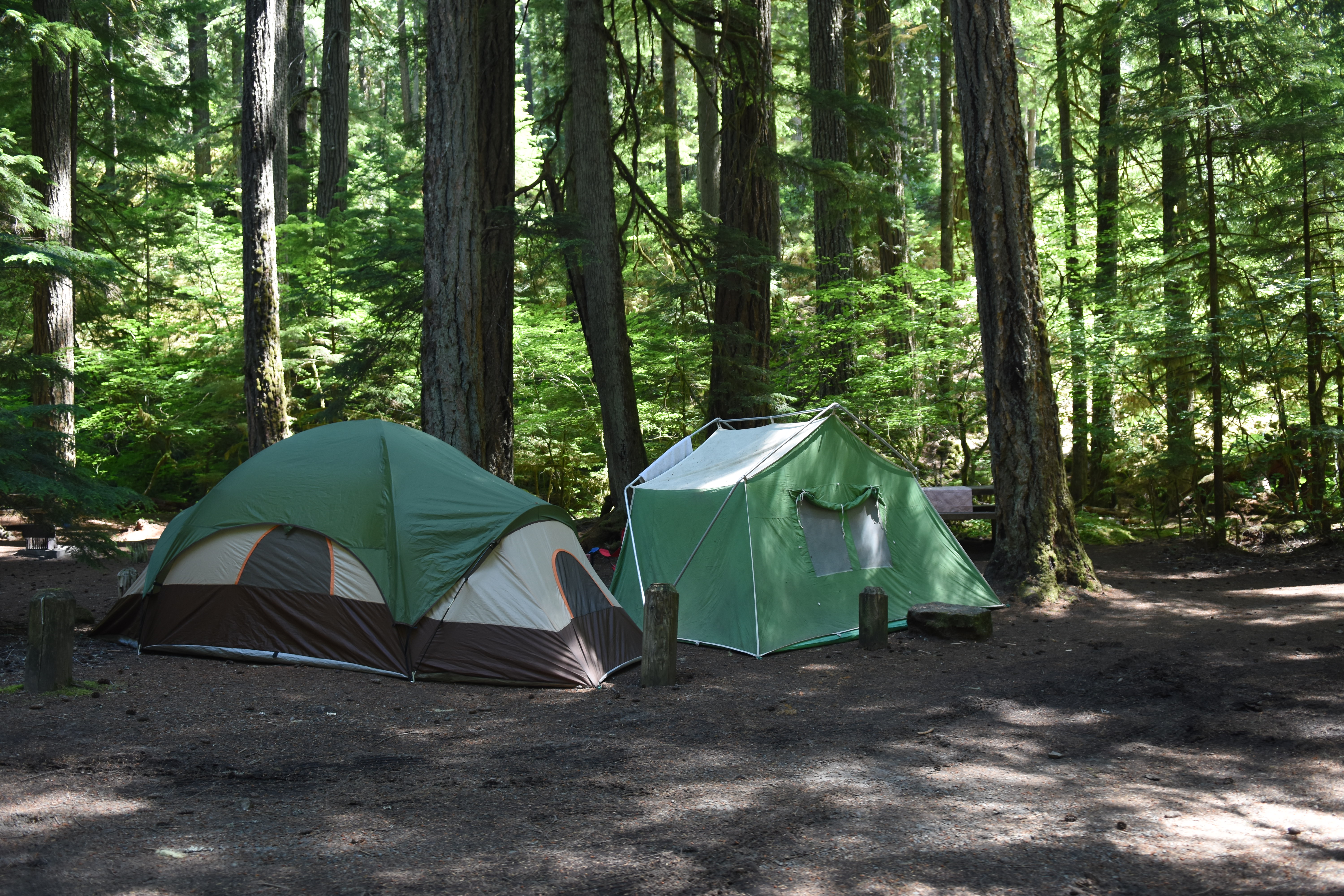
Camping at Mount Rainier
Enjoy an extended, relaxing visit to Mount Rainier in one of the park's campgrounds.
More Things to Do
Additional activities and experiences from the National Park Service.
Day Hiking at Mount Rainier National Park
Looking for easy and enjoyable trails that the whole family can experience together? Consider the following trails in the Longmire, Paradise, Ohanapecosh,…
Cloudy Day Activities at Mount Rainier
Everyone loves beautiful days when Mount Rainier is visible and the skies are blue! However, sometimes the weather does not cooperate. There is…
Explore Longmire in Winter
Make a day of it by visiting in Longmire in winter. Hike or snowshoe through the forest with views of Mount Rainier…
A Day In Longmire
Plan a day in Longmire, whether you are looking for mountain views, historic architecture, or hiking trails for all abilities.
Visit the Valor Memorial at Longmire
Visit the Valor Memorial at Longmire to honor the Mount Rainier National Park Rangers who made the ultimate sacrifice.
Spring Recreation
Spring comes slowly to the mountain. While wildflowers bloom along city streets, the snow at Paradise may be higher than your head!…
Road Trip Around the Mountain
Even if you never step foot outside your vehicle, a drive through Mount Rainier National Park can be a rewarding experience. This…
Kid-Friendly Hikes at Mount Rainier
Looking for kid friendly hikes to do while visiting Mount Rainier? This list should help you find the right hike for your…
Mount Rainier: Off the Beaten Path
Mount Rainier National Park is substantial in size, but congestion still occurs during peak season and during times of nice weather. Escaping…
Bicycling at Mount Rainier National Park
Bicycling at Mount Rainier National Park is both scenic and challenging. Bicycles are allowed on park roads but they are not permitted…
Try en plein air painting at Mount Rainier National Park
With just a little planning you can create art anywhere. Take time to really experience your favorite viewpoint by painting a picture…
Full Moon Hikes at Mount Rainier
Trail options and safety tips when hiking under a full moon at Longmire, Paradise, and Box Canyon at Mount Rainier National Park.
Showing 18 of 46 NPS Things to Do records available for Mount Rainier National Park.
Visitor Centers
Longmire Museum
Located on the south side of Mount Rainier at 2,700 feet above sea level, the museum makes up part of the historic Longmire district. Once…
Henry M Jackson Memorial Visitor Center
Located at Paradise, on the south side of Mount Rainier, the Jackson Visitor Center is open throughout the summer and with limited days and hours…
Ohanapecosh Visitor Center
NOTE: The Ohanapecosh Visitor Center is CLOSED for the summer of 2026 as part of the Ohanapecosh Campground rehabilitation project. This visitor center is located…
Sunrise Visitor Center
Located on the northeast flank of Mount Rainier, this visitor center is at the end of the Sunrise Road, 15 miles after the turn off…
Carbon River Ranger Station
Located in the northwest corner of the park, the ranger station is staffed by rangers or volunteers. Building hours may vary so call ahead for…
Longmire Wilderness Information Center
Open during the summer, the Longmire Wilderness Information Center (WIC) is located in the lobby of the historic Longmire Administration Building, a picturesque example of…
White River Wilderness Information Center
Open during the summer, the White River Wilderness Information Center (WIC) located at the Winter River Entrance. The WIC has an information desk staffed by…
Paradise Wilderness Information Center
Open during the summer, the Paradise Wilderness Information Center (WIC) is located in the main room of the historic Guide House. The WIC has an…
Campgrounds
Cougar Rock Campground
Cougar Rock Campground is located on the south side of the park, on the road between Longmire and Paradise. It is in a steep valley…
Ohanapecosh Campground
NOTE: The Ohanapecosh Campground will be CLOSED for the summer of 2026 as part of the Ohanapecosh Campground rehabilitation project. Ohanapecosh Campground is tucked in…
White River Campground
Located on the eastern side of the park below Sunrise, White River campground takes its name from the river flowing beside it. Tucked into a…
Nearby National Park Service Sites
These sites are ordered by straight-line distance between NPS reference coordinates. This is useful for comparison, but it is not road mileage. Trails, parkways, rivers, and distributed units may extend far from their reference point.
Nearby Cities for Trip Planning
These cities are ordered by straight-line distance from the NPS reference coordinate. They are comparison starting points, not official park gateways or road-distance estimates. Trails and other distributed units may extend far beyond this reference point.
🗺️ Guided Tours & Experiences
Discover Mount Rainier National Park with expert-led tours
We earn a commission if you make a purchase, at no additional cost to you.
🏨 Search Lodging for Mount Rainier National Park
Review lodging results matching this park or site name
We earn a commission if you make a purchase, at no additional cost to you.