
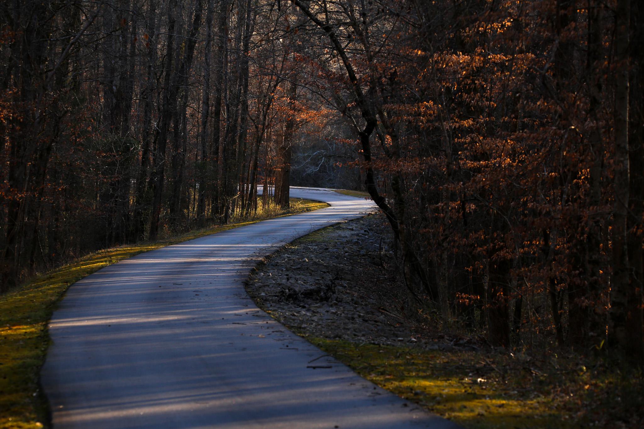
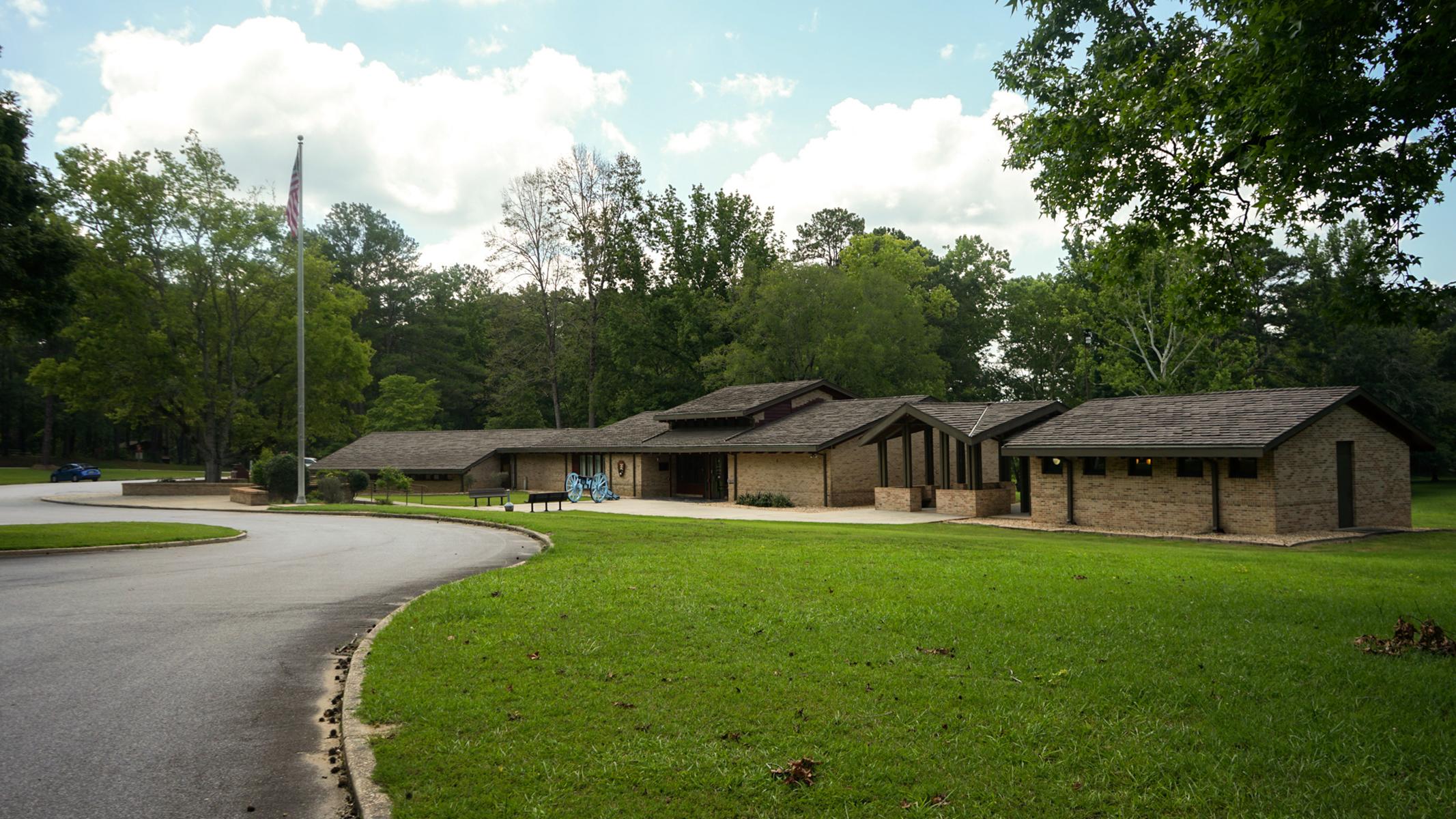
About Horseshoe Bend National Military Park
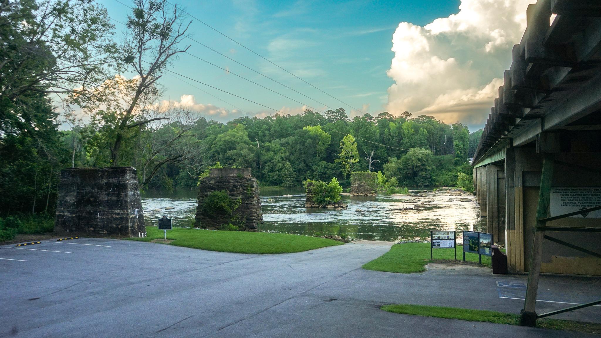
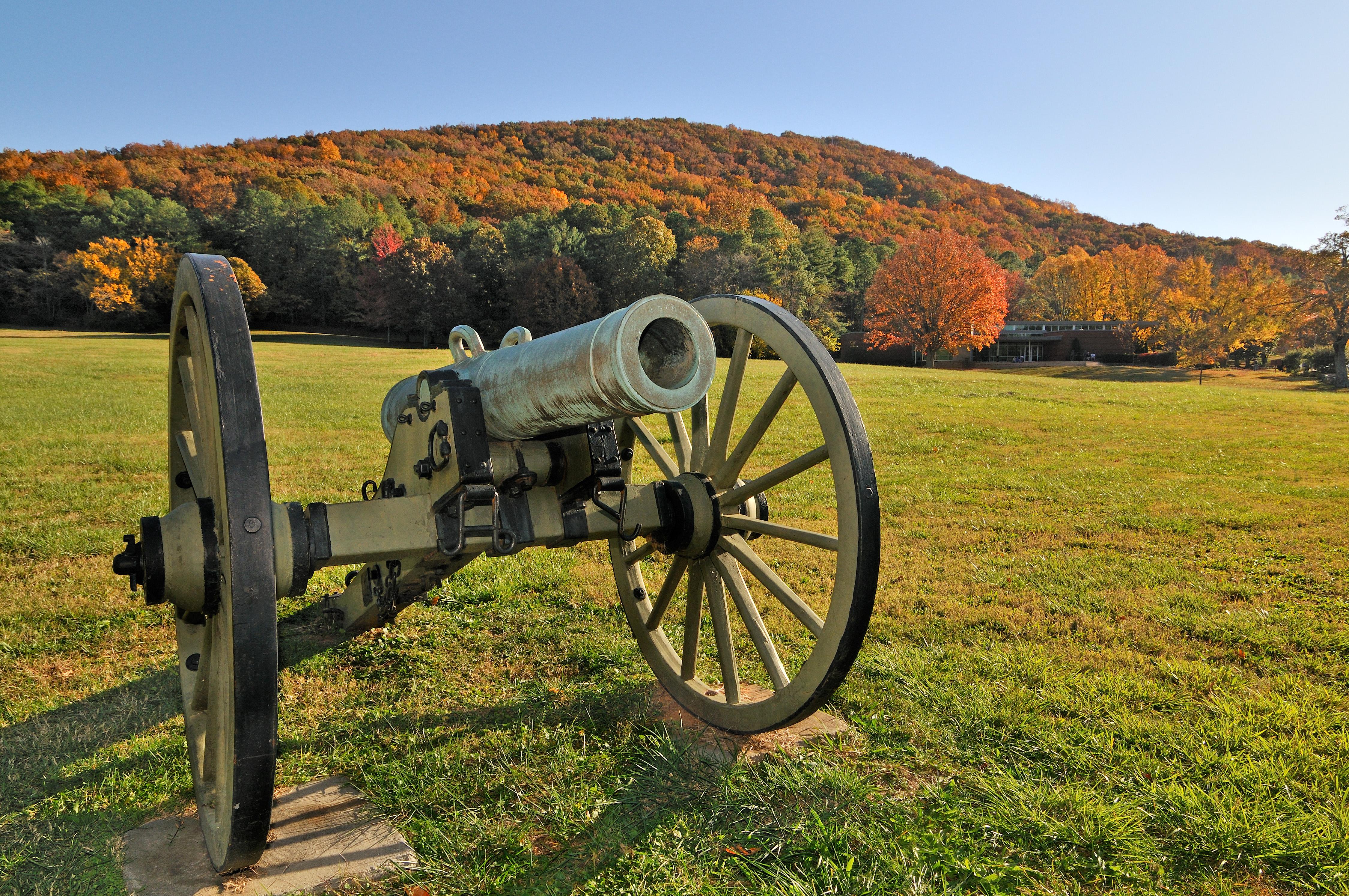
On March 27, 1814, Major General Andrew Jackson ‘s army of 3,300 men attacked Chief Menawa’s 1,000 Red Stick Creek warriors fortified in a horseshoe shaped bend of the Tallapoosa River. Over 800 Red Sticks died that day. This battle ended the Creek War, resulted in a land cession of 23,000,000 acres to the United States and created a national hero of Andrew Jackson.
Plan a Visit
Core visitor information on this page is sourced from the National Park Service. NPD proximity sections use NPS reference coordinates and straight-line distance. Local source bundle updated Sep 27, 2026. View the official NPS page.
Weather & Conditions
Summers can be extremely hot and humid and winters can be damp, wet, and cold, with occasional hard freezes. During the summer season visitors should dress in light, comfortable clothing, wear comfortable shoes and use sunscreen and insect repellant. Stay hydrated to avoid risk of heat cramps, heat exhaustion and…
NPS Reference Location
Park state / territory membership: Alabama. This map uses the National Park Service reference coordinate. It may represent an administrative or reference point rather than a park entrance, trailhead, visitor center, or the nearest access point. Use the official NPS directions below when planning travel.
Operating Hours
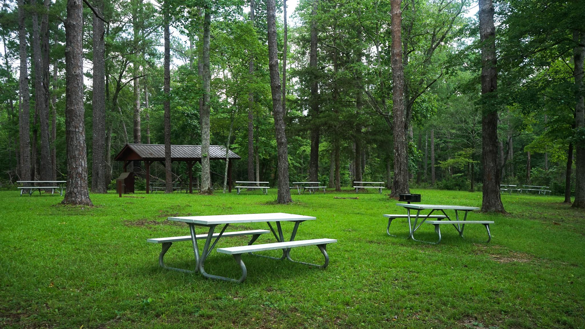
Park grounds, trails, and picnic areas, are open from 8:00 a.m. - 5:00 p.m. CST. The Visitor Center is open from 9:30 A.M. - 4:30 P.M. The tour road is open. The boat launch closes at sunset.
Activities
Getting There
Located in northeastern Tallapoosa County, Horseshoe Bend National Military Park is accessible from US Highway 280, as well as AL Highways 22 and 49. The Park is located 5 miles south of the town of Newsite, AL and 12 miles north of the city of Dadeville, AL.
View Official DirectionsContact & Address
The NPS-listed address may be an administrative office, visitor center, mailing/contact location, or other park facility rather than a park entrance.
Topics & Themes
Visitor Centers
Horseshoe Bend National Military Park Visitor Center
Visit our newly renovated museum to learn more about the Muscogee (Creek) people who made Alabama their home for thousands of years. See the 23-minute…
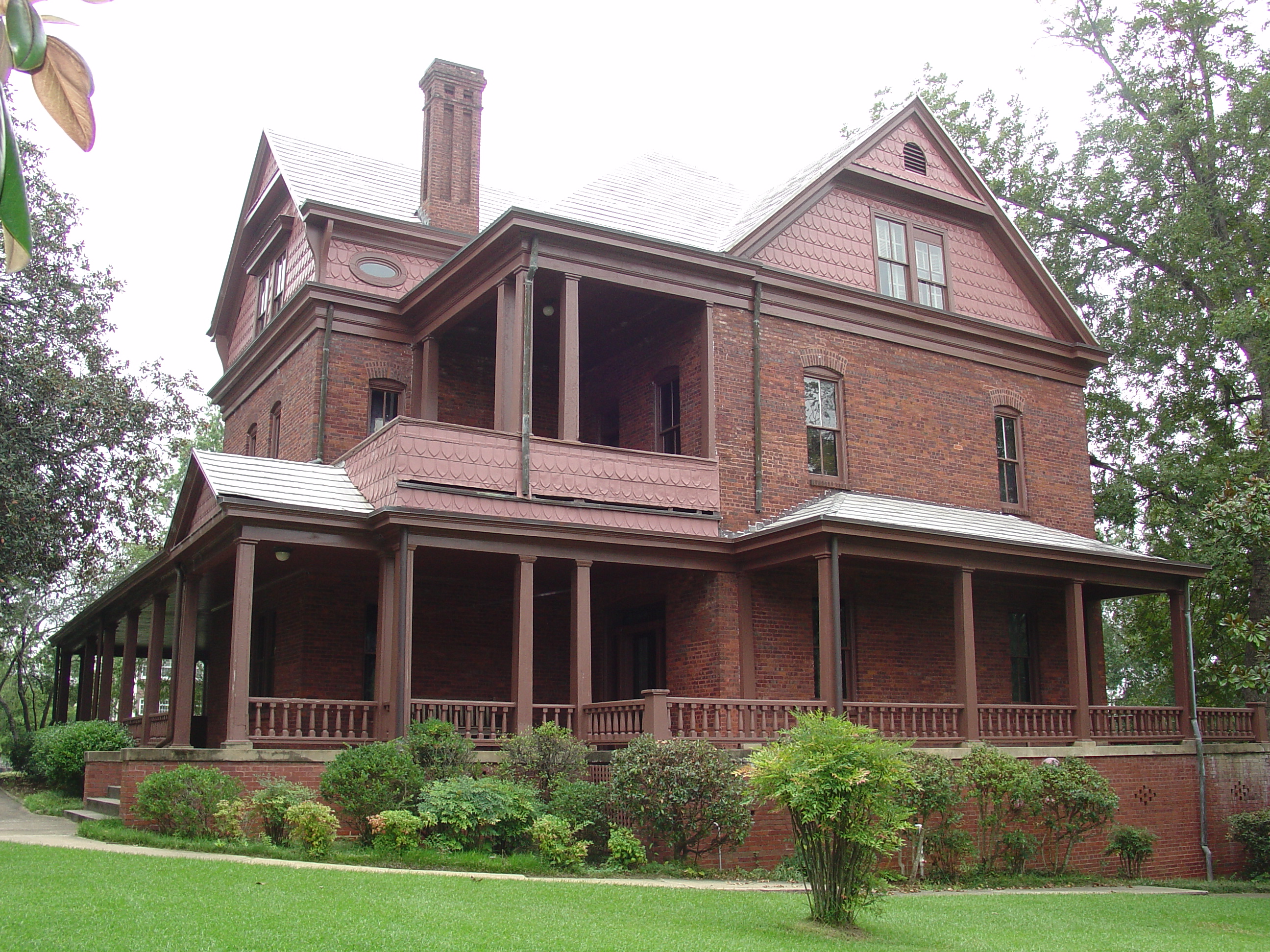
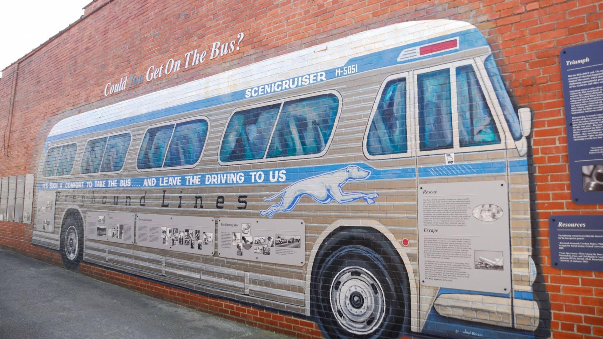
Nearby National Park Service Sites
These sites are ordered by straight-line distance between NPS reference coordinates. This is useful for comparison, but it is not road mileage. Trails, parkways, rivers, and distributed units may extend far from their reference point.

Nearby Cities for Trip Planning
These cities are ordered by straight-line distance from the NPS reference coordinate. They are comparison starting points, not official park gateways or road-distance estimates. Trails and other distributed units may extend far beyond this reference point.
🗺️ Guided Tours & Experiences
Discover Horseshoe Bend National Military Park with expert-led tours
We earn a commission if you make a purchase, at no additional cost to you.
🏨 Search Lodging for Horseshoe Bend National Military Park
Review lodging results matching this park or site name
We earn a commission if you make a purchase, at no additional cost to you.