

About Gulf Islands National Seashore
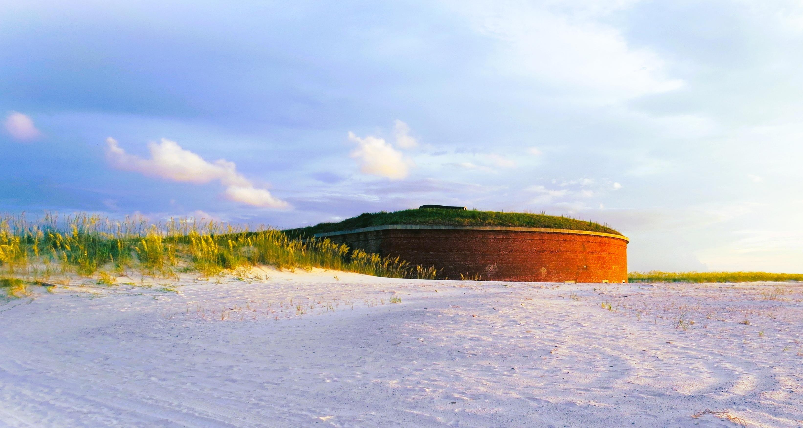
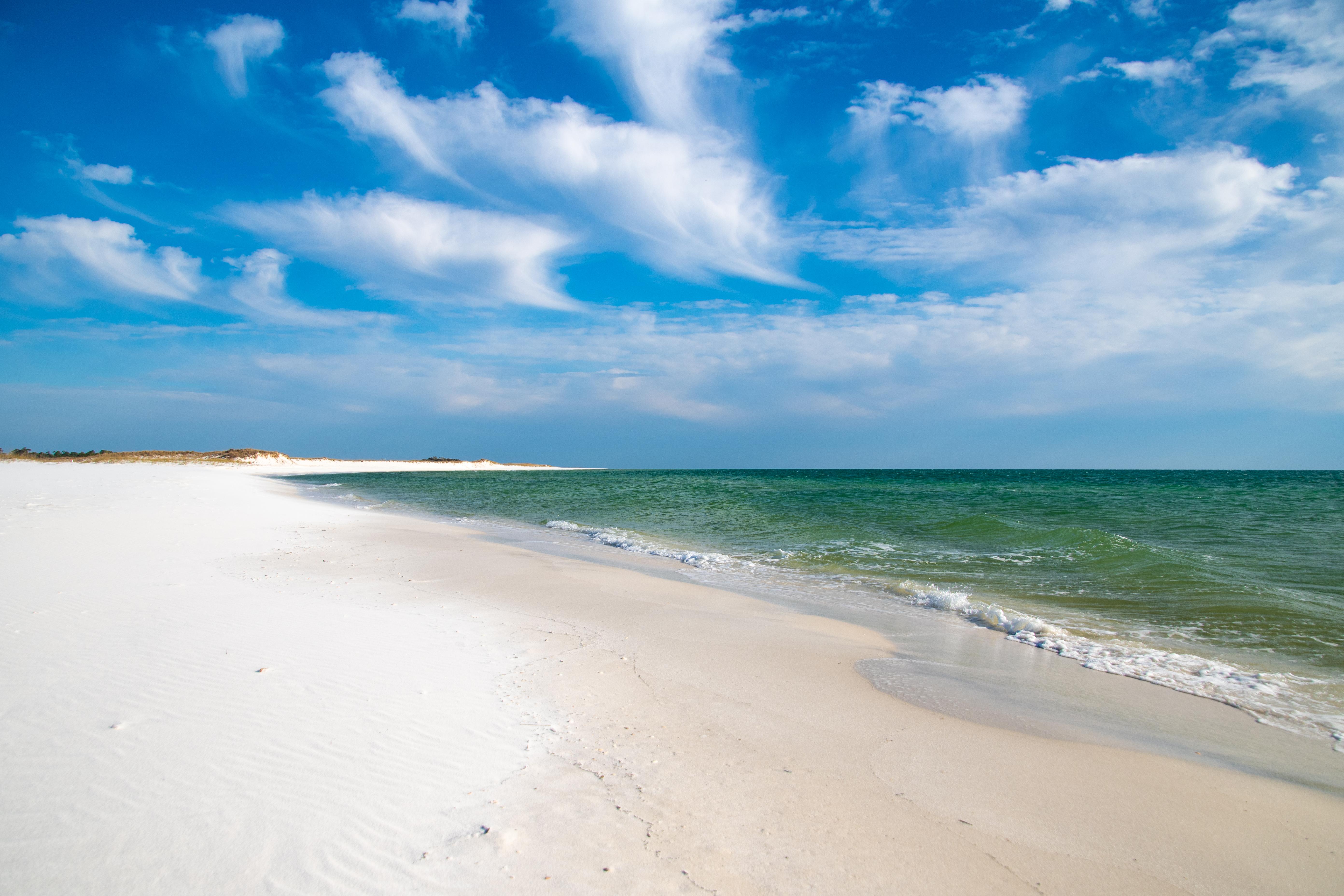
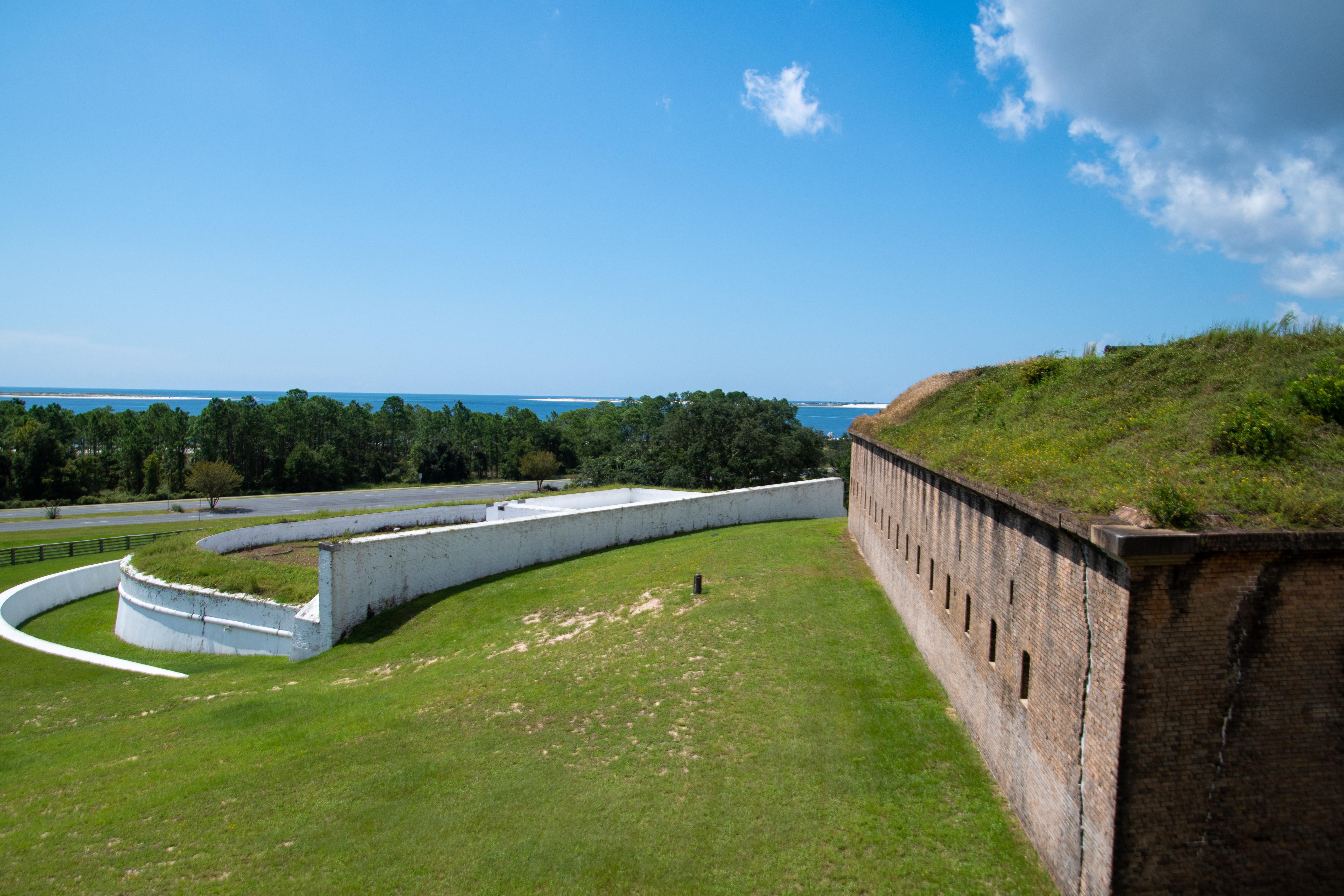
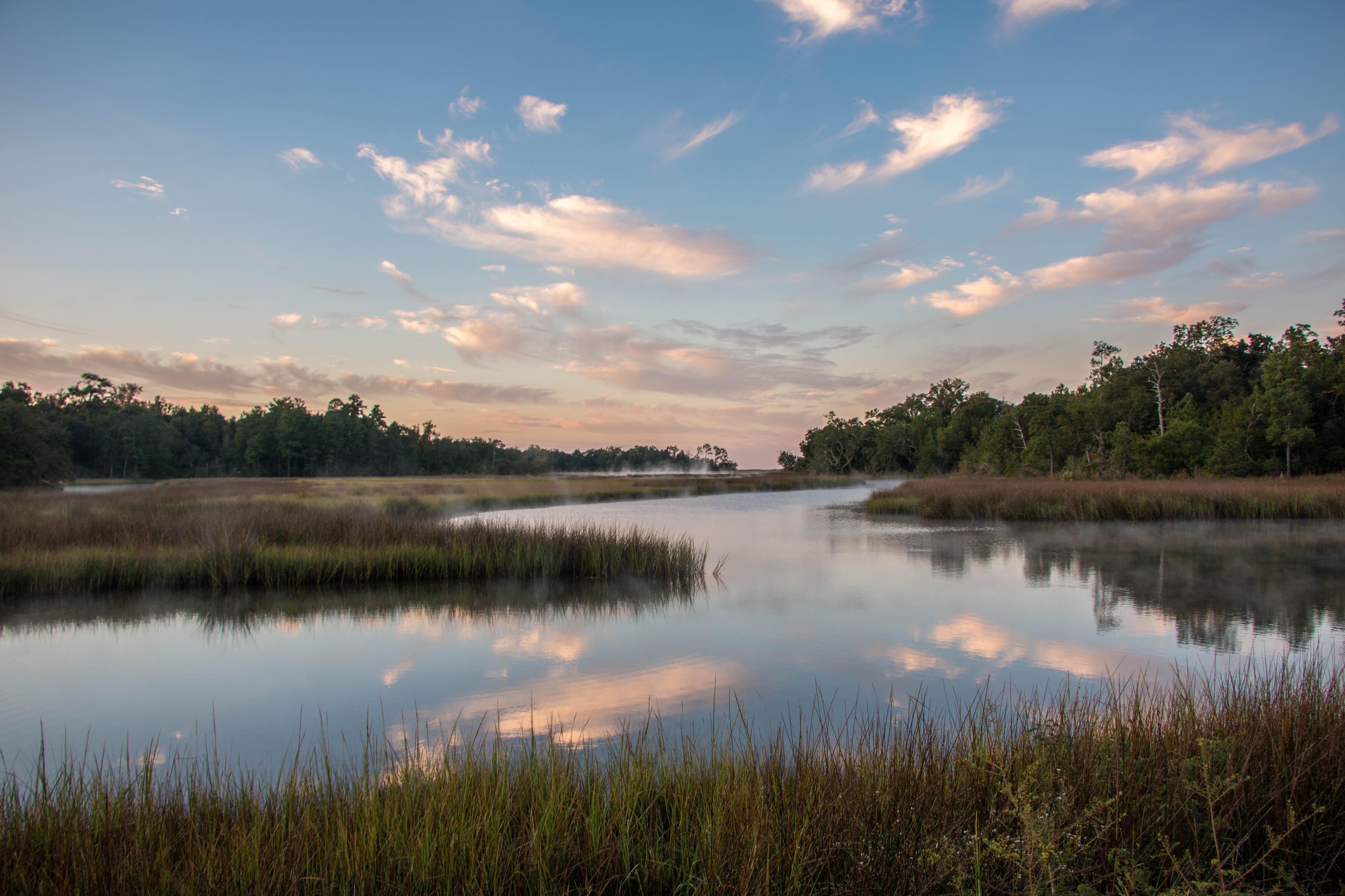
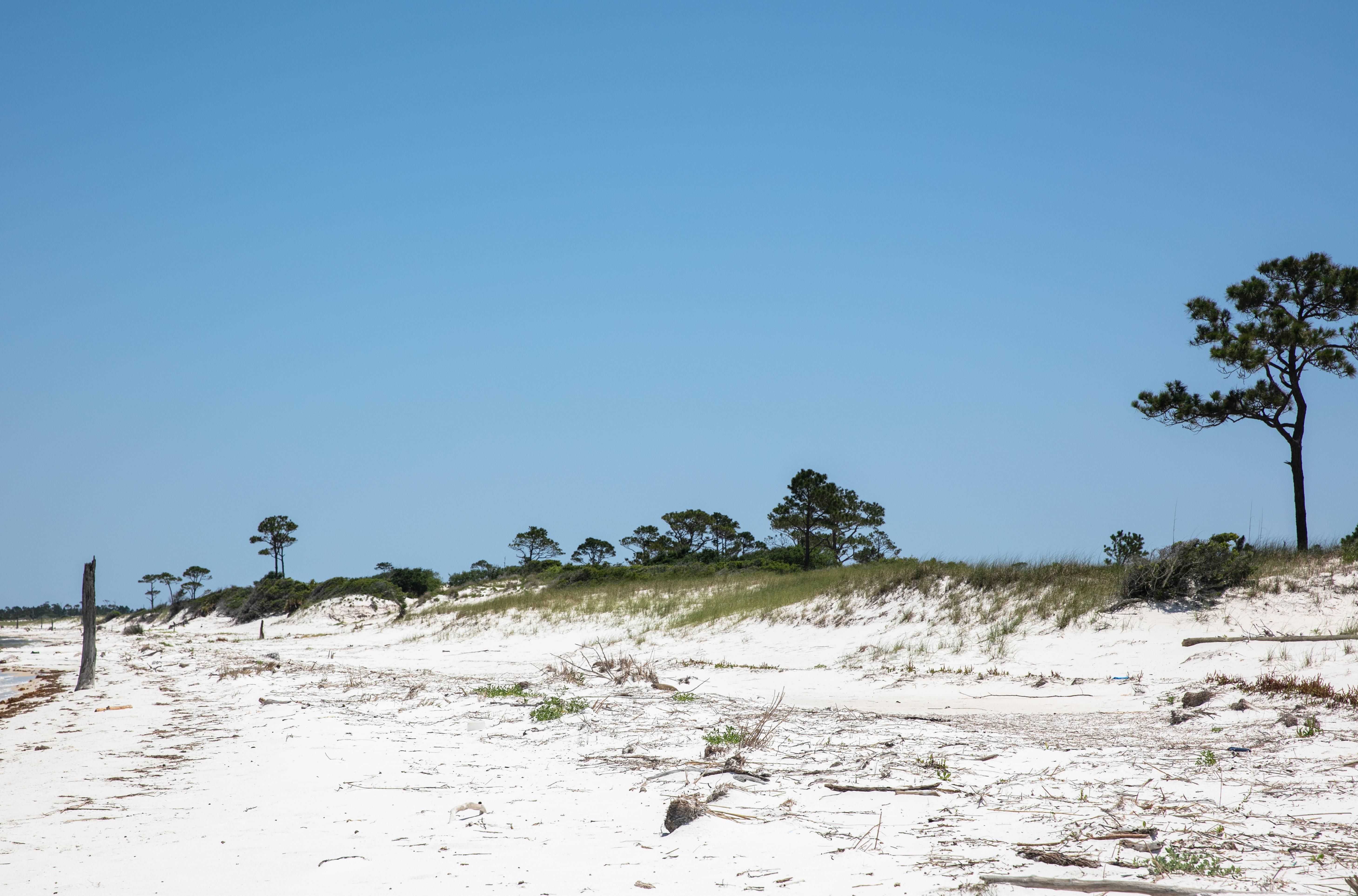
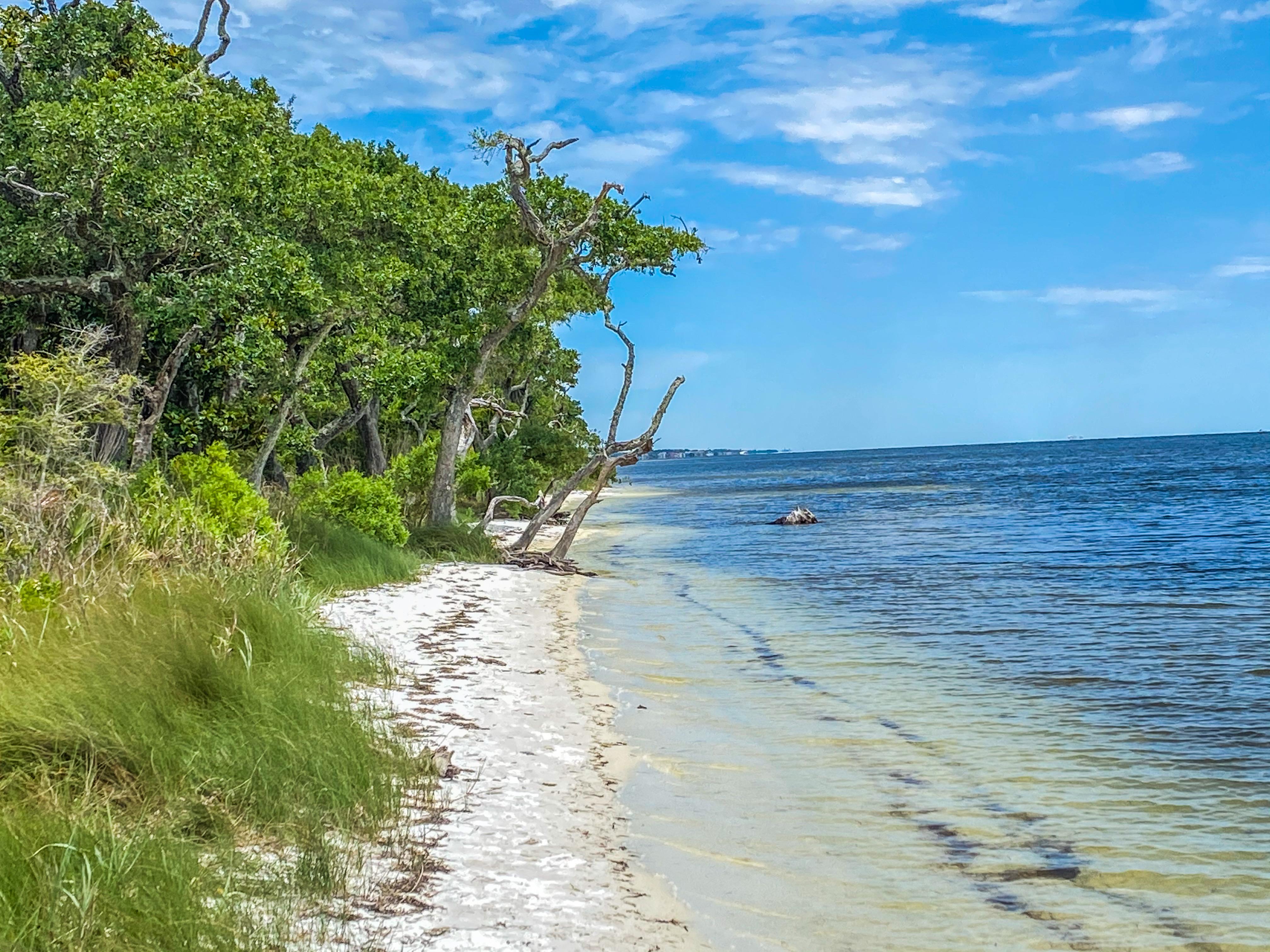
Millions of visitors are drawn to the Gulf of America for Gulf Islands National Seashore's emerald coast waters, magnificent white beaches, fertile marshes and historical landscapes. Come explore with us today!
Plan a Visit
Core visitor information on this page is sourced from the National Park Service. NPD proximity sections use NPS reference coordinates and straight-line distance. Local source bundle updated Sep 27, 2026. View the official NPS page.
Weather & Conditions
Weather along the northern coast of the Gulf of Mexico can change quickly. During the winter temperatures range from 30-60 degrees fahrenheit, rain is less common than other seasons. Snow and freezing temperatures are not common. During the summer temperatures range from 70-100+ degrees fahrenheit. Rain is common during the…
NPS Reference Location
Park state / territory membership: Florida, Mississippi. This map uses the National Park Service reference coordinate. It may represent an administrative or reference point rather than a park entrance, trailhead, visitor center, or the nearest access point. Use the official NPS directions below when planning travel.
Entrance Fees
Cost for up to six people in one vehicle. Good for seven days into any fee area in Florida, (Opal Beach, Johnson Beach, Fort Pickens).
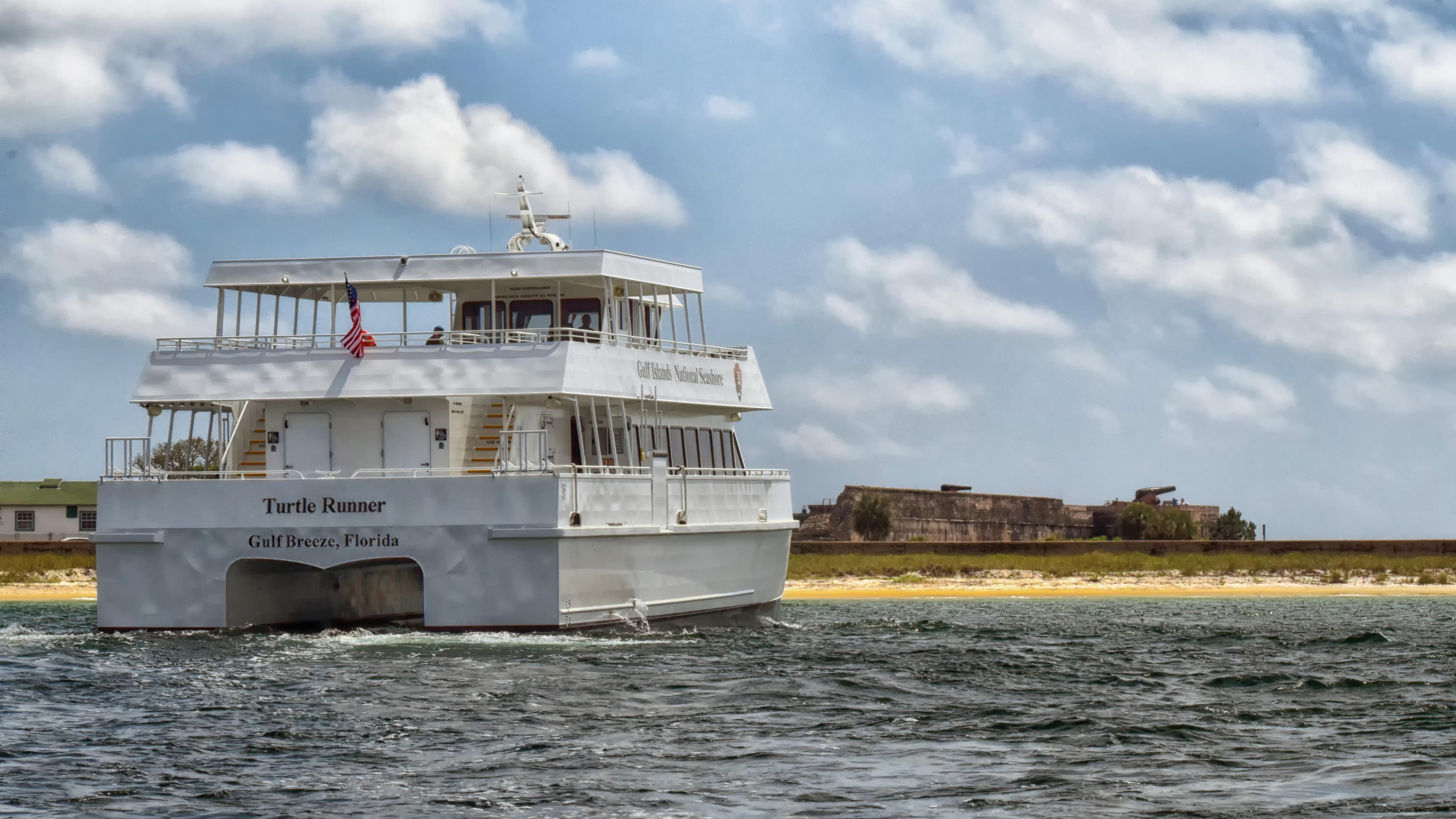
Valid for 7 days. Admits up to 2 private, non-commercial motorcycles with up to 4 total passengers. Fees are required at Fort Pickens Area, Opal Beach Complex Area, and Johnson Beach Area in Florida. Additional fees to ride the ferry.
Fees are required at Fort Pickens Area, Opal Beach Complex Area, and Johnson Beach Area in Florida. Additional fees to ride the ferry.
Operating Hours
The Davis Bayou Area is located south of U. S. Hwy. 90 east of downtown Ocean Springs, Mississippi and offers many recreational opportunities. Visitors can enjoy fishing, hiking, biking, birdwatching, picnicking, kayaking and ranger-led programs. There are no swimming beaches in the Davis Bayou Area. Visitor Center hours are 9 a.m. to 4 p.m. Wednesday - Sunday.
Activities
Current Alerts
The Battery 234 Loop Road and Battery Cooper within the GUIS, Fort Pickens Management Area will be closed to all for vehicle, bicyclists, and foot (pedestrian) traffic until further notice for safety purposes until the park can correct the leaning and structurally unstable historic Tower 234 that poses danger to visitors and staff. The beach access points for pedestrians from the Gulf (south) side will also be closed. The pipe gates at the entrance and exit points will be locked with accompanied signage.
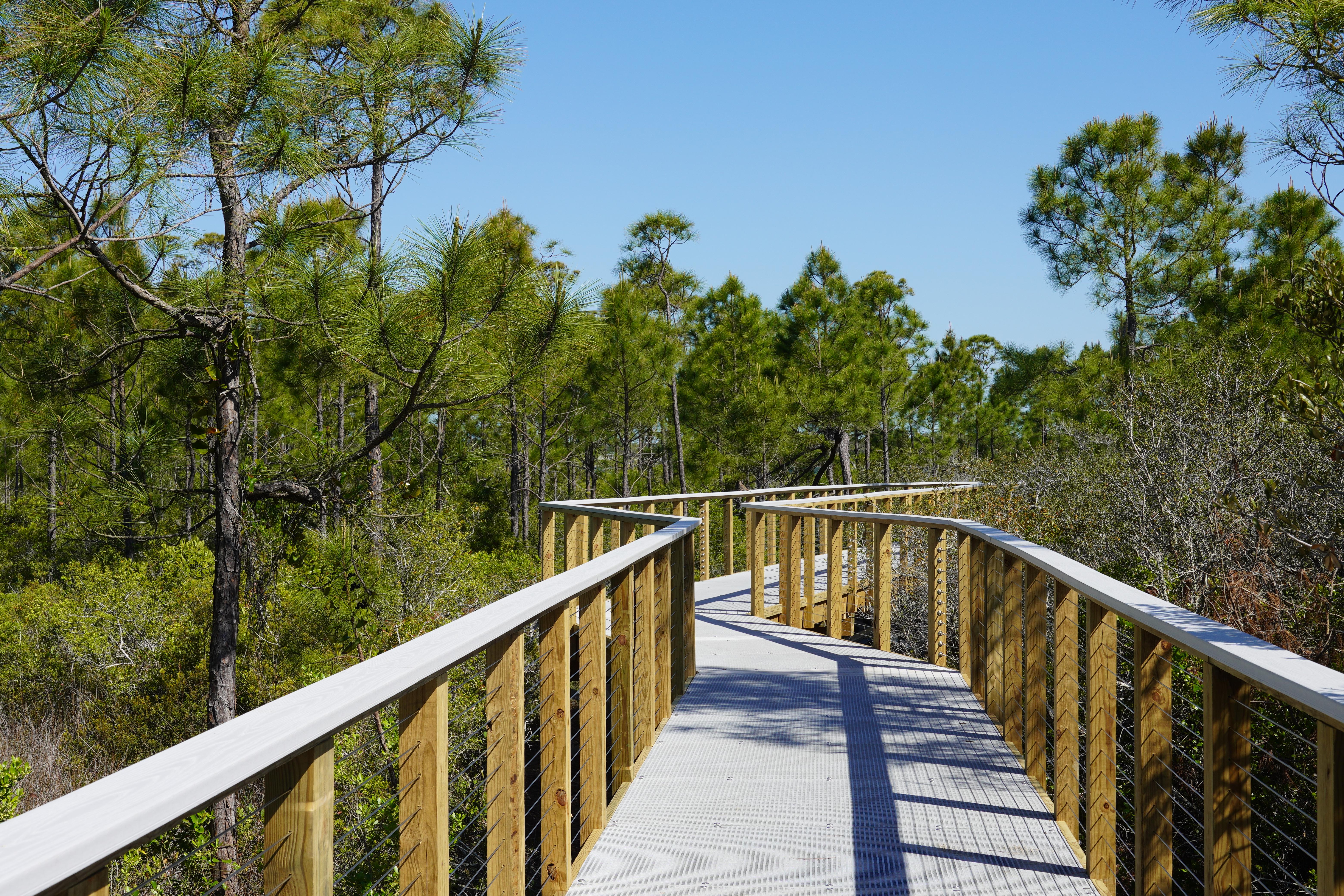
Phase II of the Davis Bayou Bicycle and Pedestrian Path is in process. Visitors may encounter minor traffic delays and flaggers on Eagle Point and Park Road.
Fort Barrancas is open 9 am–4 pm Wednesday through Sunday. To access Fort Barrancas, visitors will need to enter the Naval Air station Pensacola through the west gate.
Dogs and pets are not allowed on any of the beaches in Gulf Islands National Seashore. Visit the pet rules page for information.
Review rip current status prior to visiting the park.
Getting There
Gulf Islands National Seashore is a place of myriad riches - blue-green, sparkling waters, magnificent white beaches, and fertile coastal marshes. Its 13 areas include historic forts, shaded picnic areas, trails, and campgrounds. From Cat Island, Mississippi, it stretches eastward 160 miles tot he Okaloosa Area east of For Walton Beach, Florida.
View Official DirectionsContact & Address
The NPS-listed address may be an administrative office, visitor center, mailing/contact location, or other park facility rather than a park entrance.
Entrance Passes
Good for 365 days from purchase. Non-replaceable if lost. Keep receipt as second proof of purchase. Design specific to the park and changes annually.
Topics & Themes
Things To Do
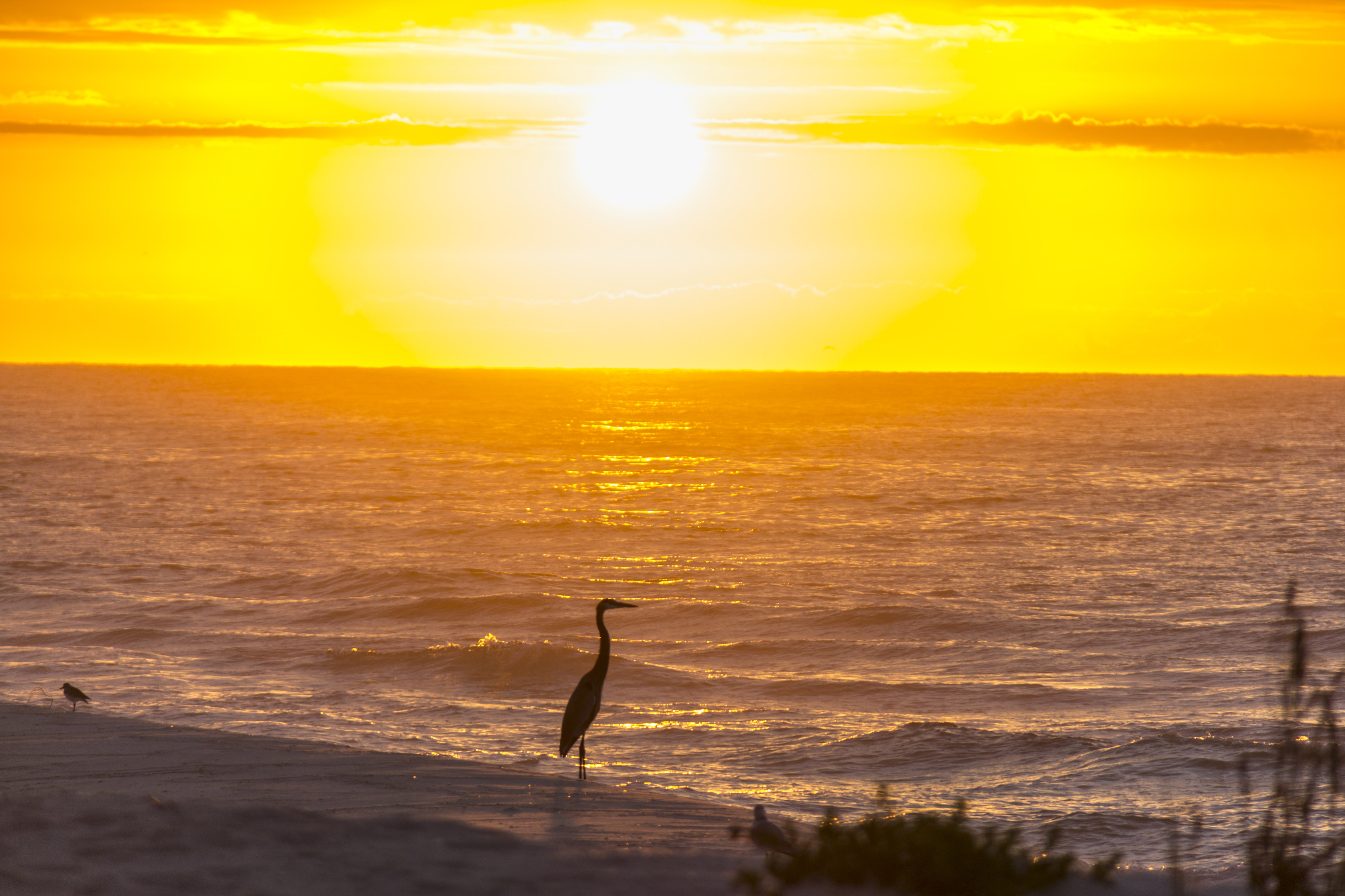
Watch the Sunrise/Sunset at Gulf Islands
Forts, beaches, bayous, and batteries provide amazing views of both sunrise and sunset over the Gulf of Mexico.