


About Great Smoky Mountains National Park
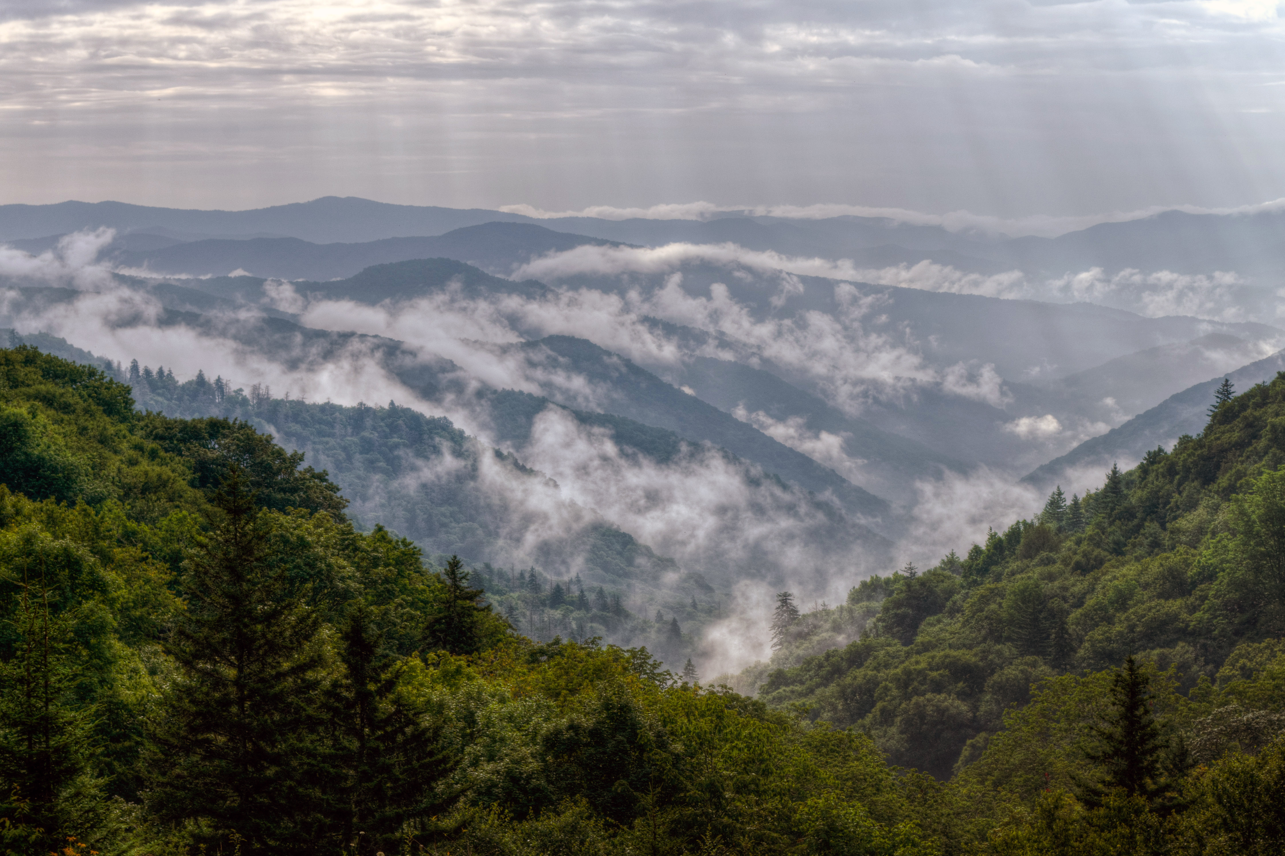
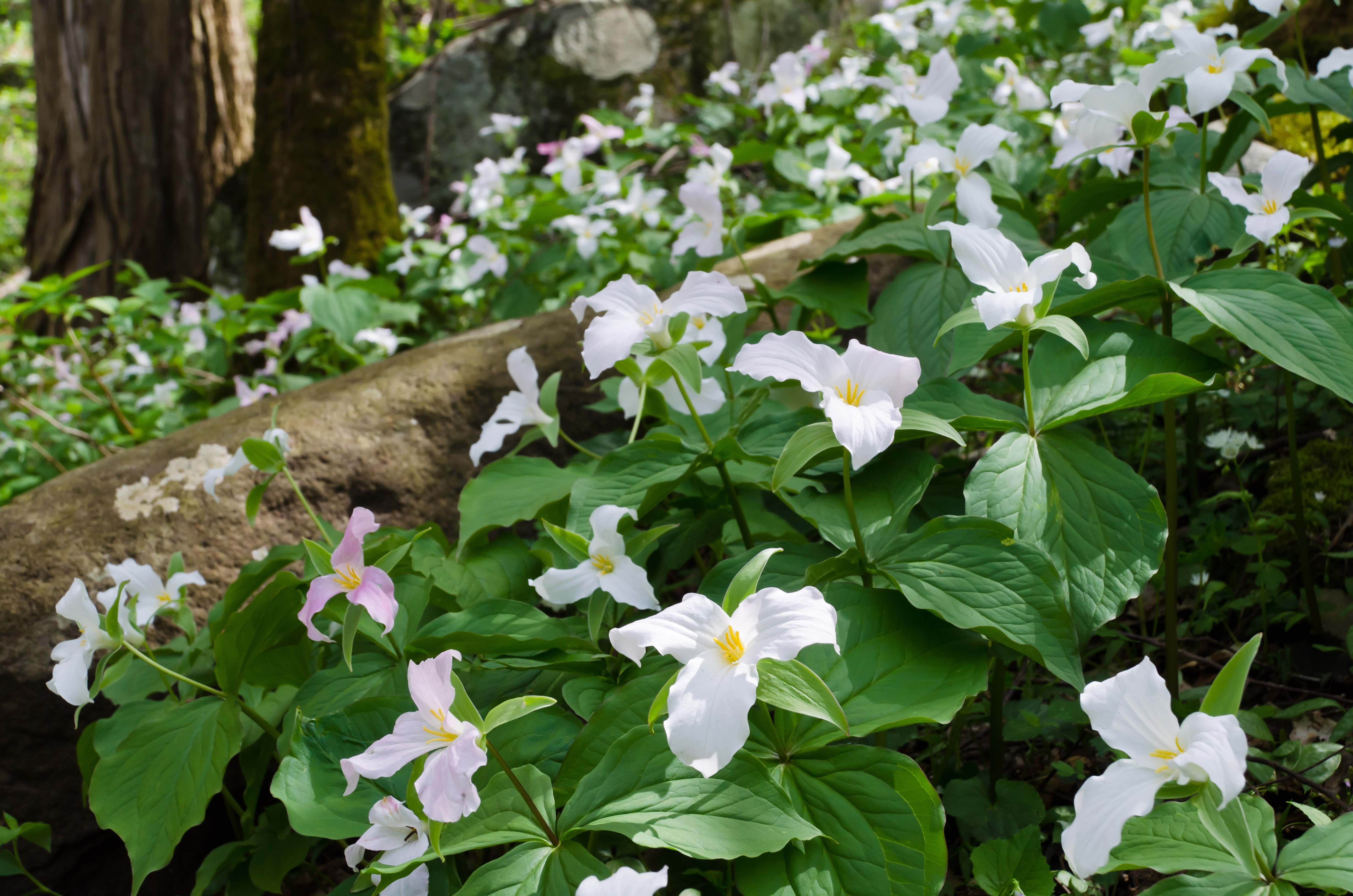
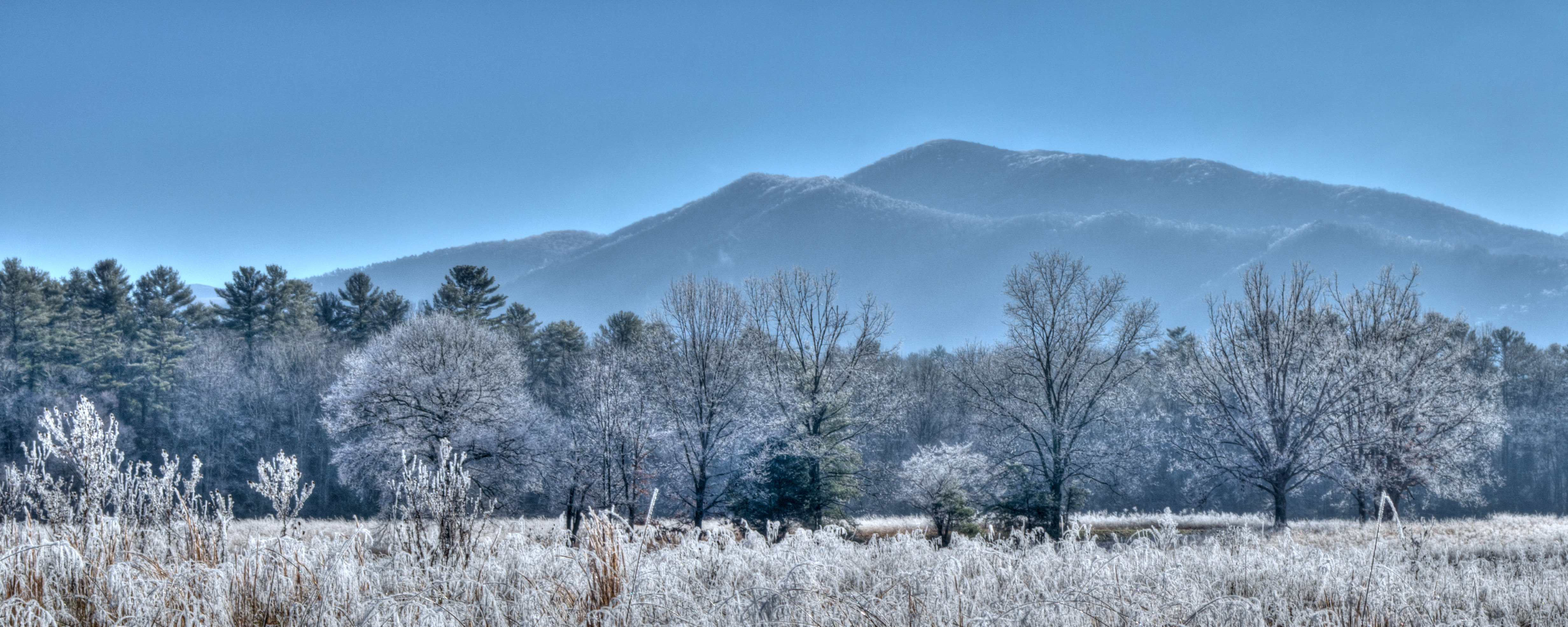
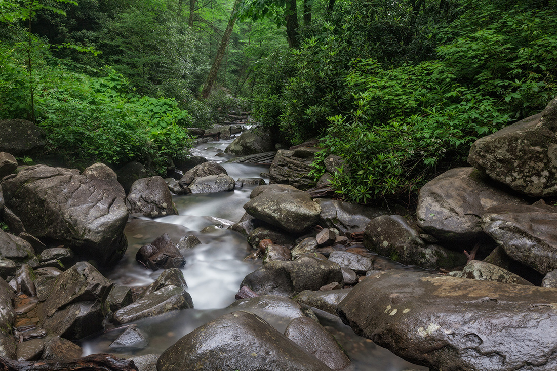
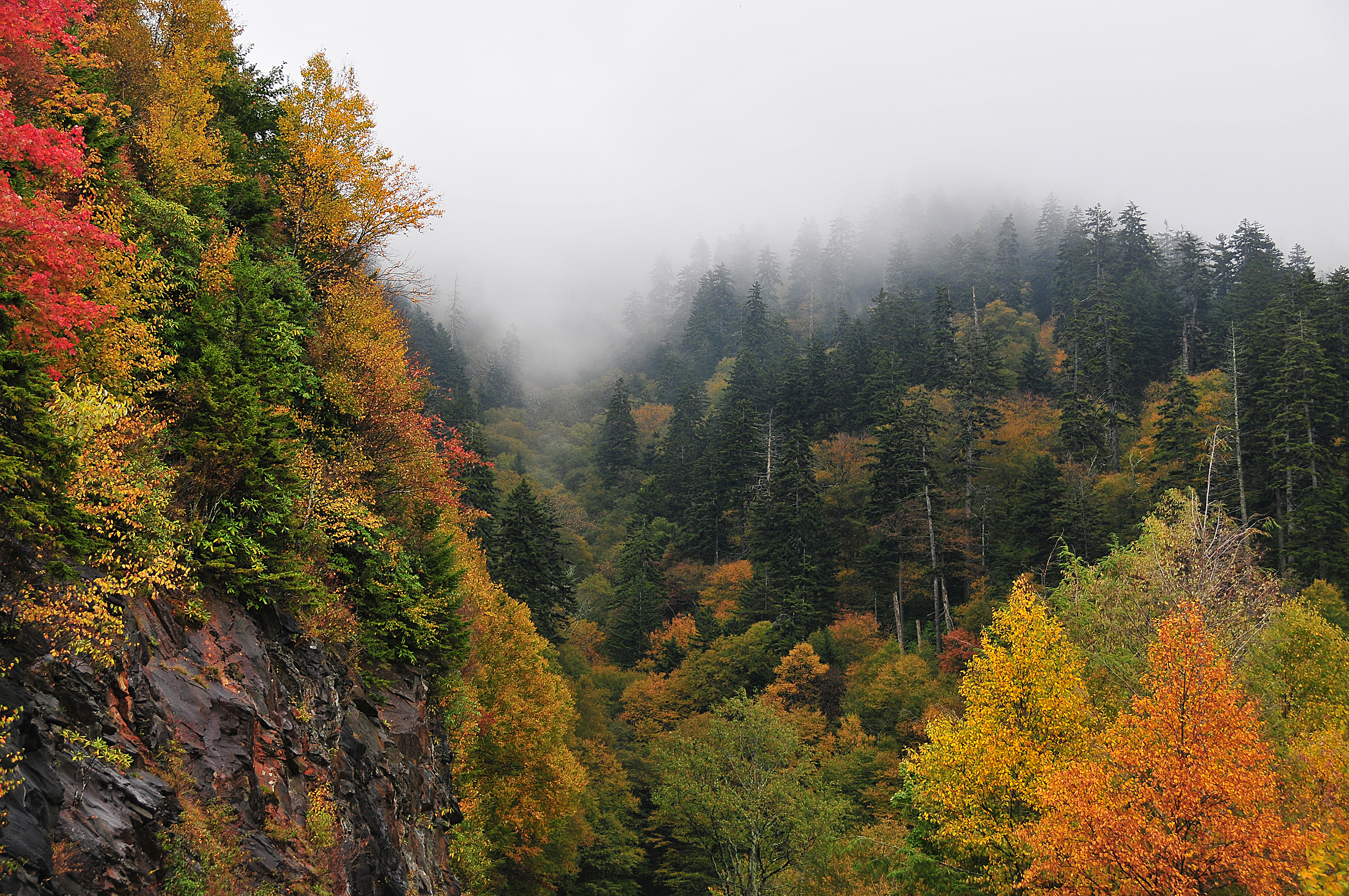
Ridge upon ridge of forest straddles the border between North Carolina and Tennessee in Great Smoky Mountains National Park. World renowned for its diversity of plant and animal life, the beauty of its ancient mountains, and the quality of its remnants of Southern Appalachian mountain culture, this is America's most visited national park. Plan your visit today!
Plan a Visit
Core visitor information on this page is sourced from the National Park Service. NPD proximity sections use NPS reference coordinates and straight-line distance. Local source bundle updated Sep 27, 2026. View the official NPS page.
Weather & Conditions
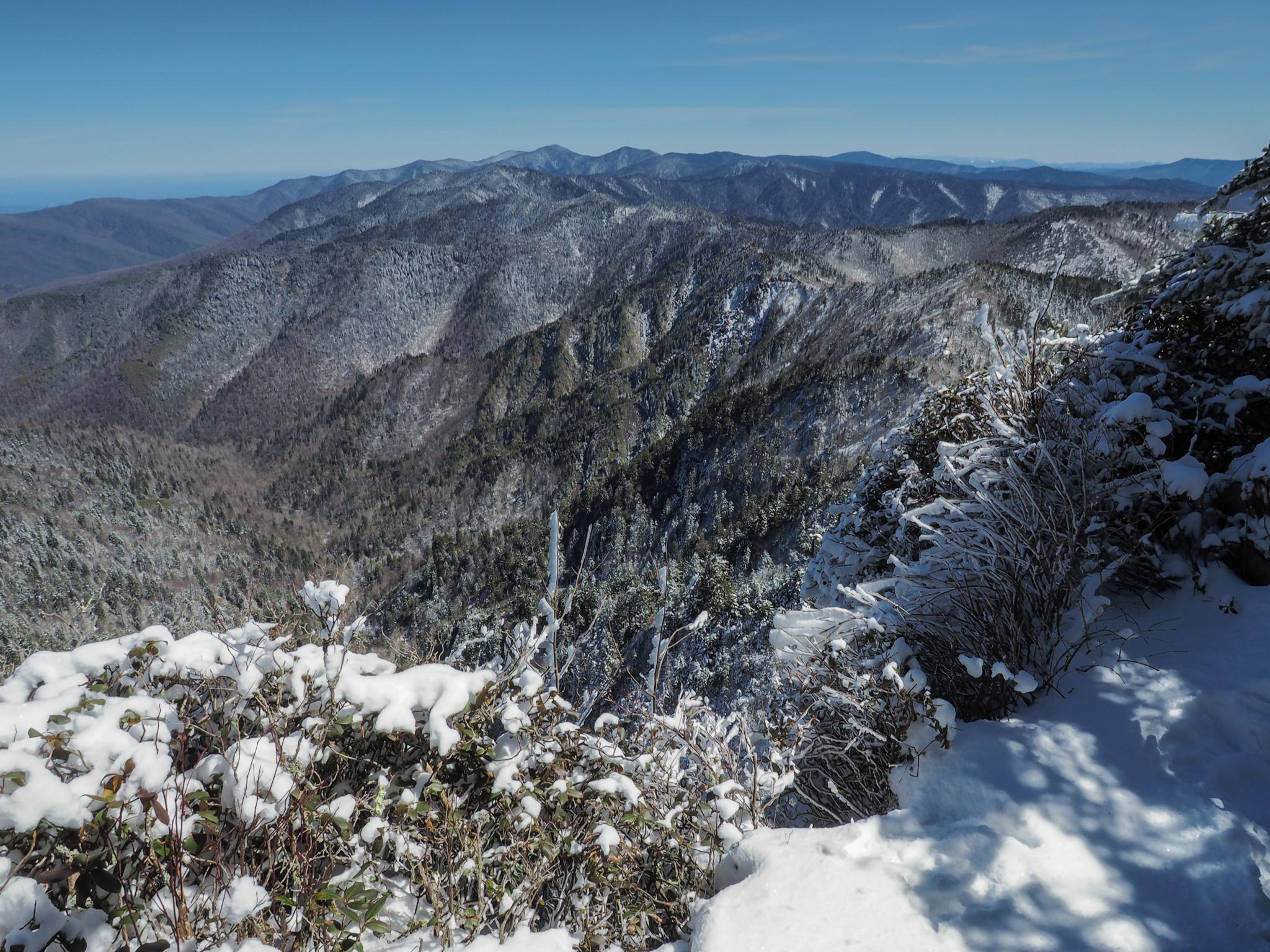
Elevations in the park range from approximately 875 feet (267 meters) to 6,643 feet (2,025 meters) and the topography can drastically affect local weather. Temperatures can vary by 10-20 degrees Fahrenheit from mountain base to top, and clear skies lower down do not guarantee equally pleasant weather at higher elevations.
NPS Reference Location
Park state / territory membership: North Carolina, Tennessee. This map uses the National Park Service reference coordinate. It may represent an administrative or reference point rather than a park entrance, trailhead, visitor center, or the nearest access point. Use the official NPS directions below when planning travel.
Operating Hours
Primary roads are open 24 hours a day, seven days a week, year-round, weather permitting. This includes Newfound Gap Road (US-441), Little River Road, and Laurel Creek Road. Secondary roads are closed seasonally.
Activities
Current Alerts
The park will conduct single-lane closures on the Gatlinburg Spur near Huskey Grove bridge from 7 a.m. to 3:30 p.m. September 21-30. The park plans to start single-lane closures on the southbound lanes and then shift to the northbound lanes. The single-lane closure will affect the tunnel in the northbound lane. Work is scheduled to conclude for the day at noon on Sept. 25 and will not occur over the weekend.
Abrams Falls Trail is closed Mondays-Thursdays through September 30 to replace aging footlog bridges and improve visitor safety. The trail will open to hikers Fridays-Sundays and on Labor Day during construction.
Park Headquarters Road is closed due to rehabilitation work on the Sugarlands water and wastewater systems.
Cades Cove Loop Road is closed to motor vehicles every Wednesday through September 30. This allows pedestrians and cyclists to enjoy the cove without the presence of vehicles on the roadway.
Straight Fork and the one-way section of Balsam Mountain Road (Heintooga Round-Bottom Road) are closed.
All vehicles parking for longer than 15 minutes require a parking tag. Three tag durations are available for purchase for all vehicle sizes and types: Daily ($5), Weekly ($15), or Annual ($40).
Getting There
Great Smoky Mountains National Park straddles the borders of the states of Tennessee and North Carolina. The three main entrances to the park are in Gatlinburg, TN; Townsend, TN; and Cherokee, NC.
View Official DirectionsContact & Address
The NPS-listed address may be an administrative office, visitor center, mailing/contact location, or other park facility rather than a park entrance.
Things To Do
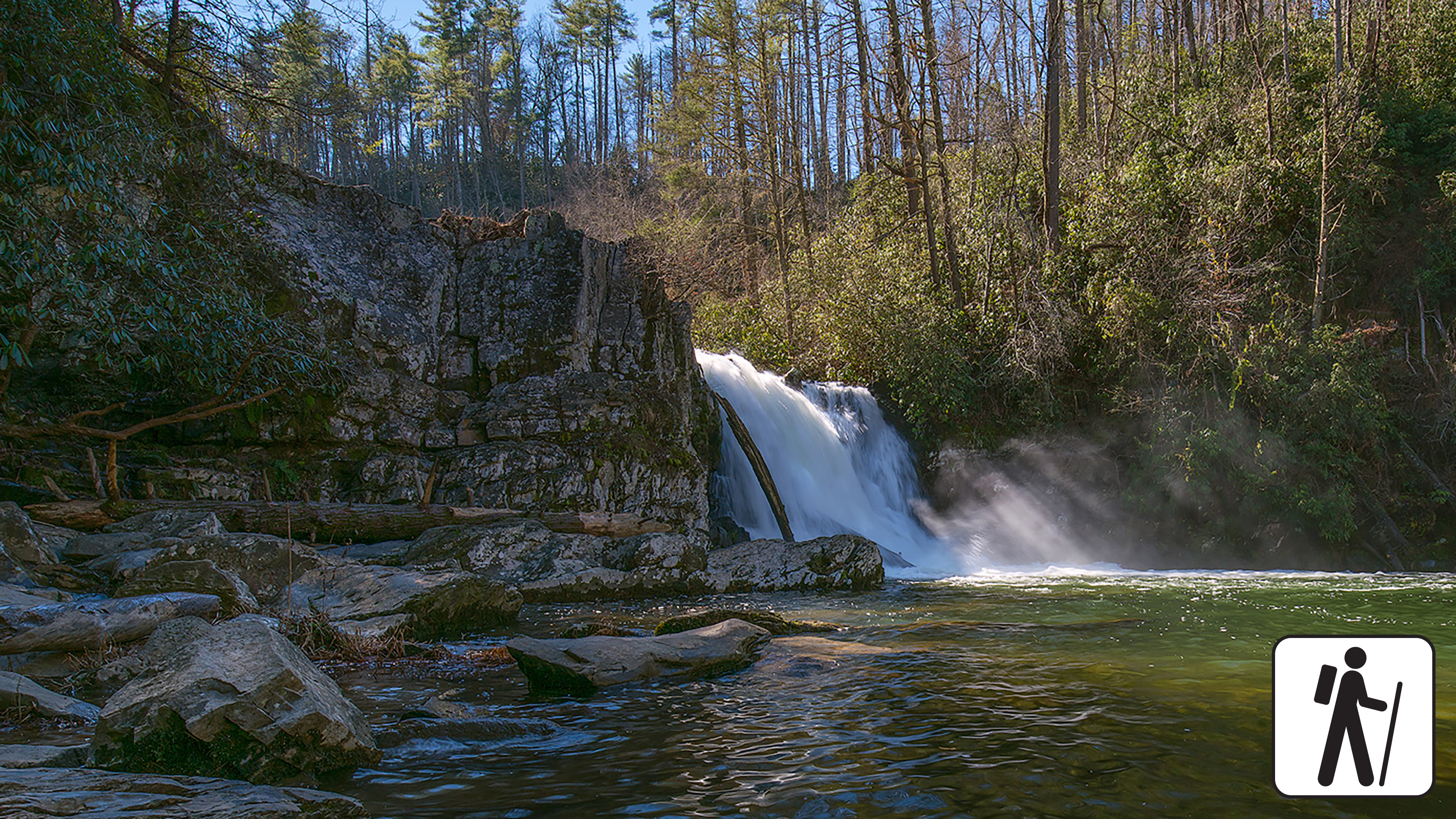
Hike to Abrams Falls
Walk 5 miles (8 km) roundtrip through rhododendron, hemlock, and pine-oak forest to a 25-foot (7.6-m) waterfall and scenic pool.…
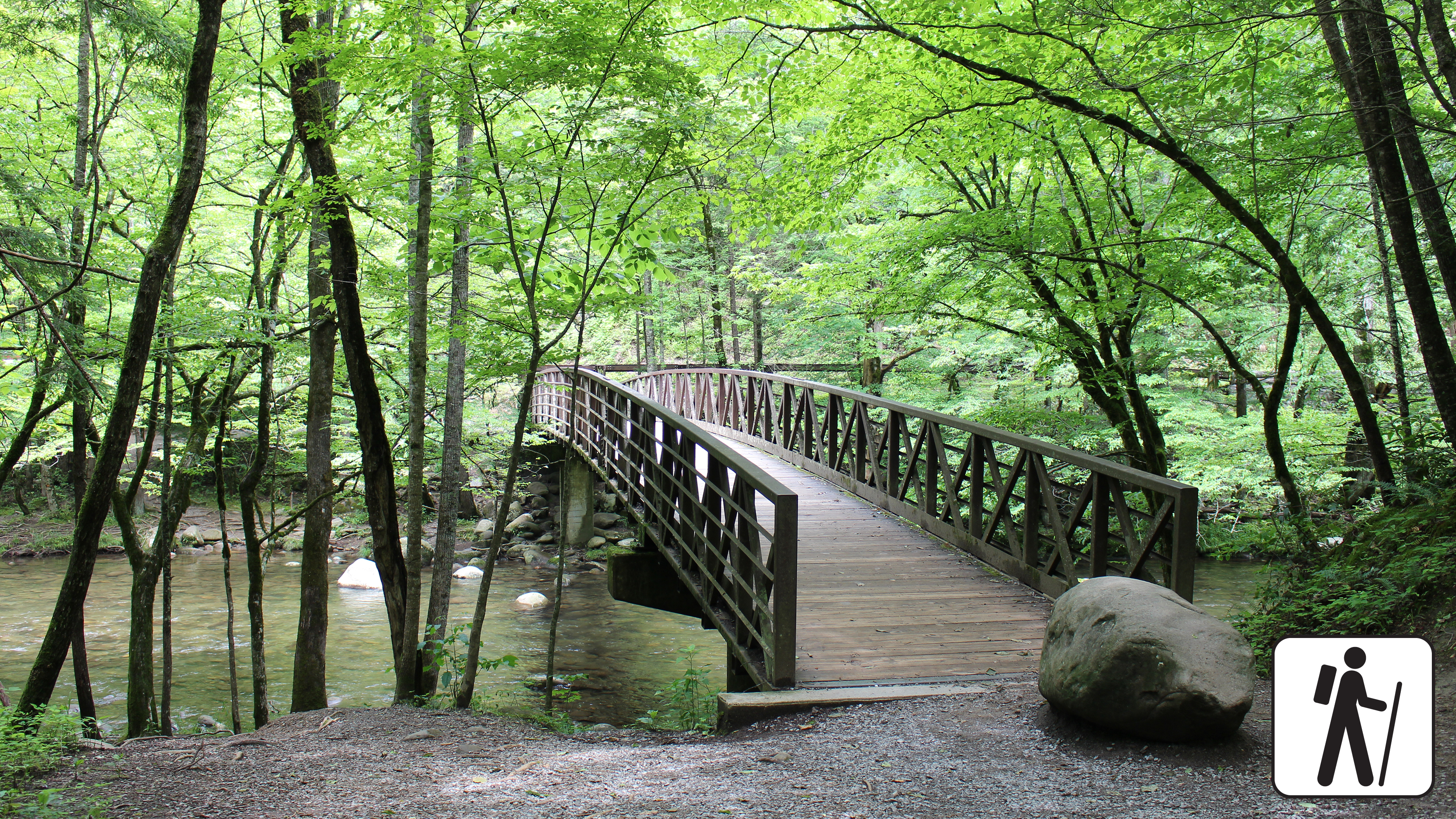
Hike the Gatlinburg Trail
Enjoy a riverside stroll approximately 4 miles (6.4 km) roundtrip through a cove hardwood forest along one of the only…
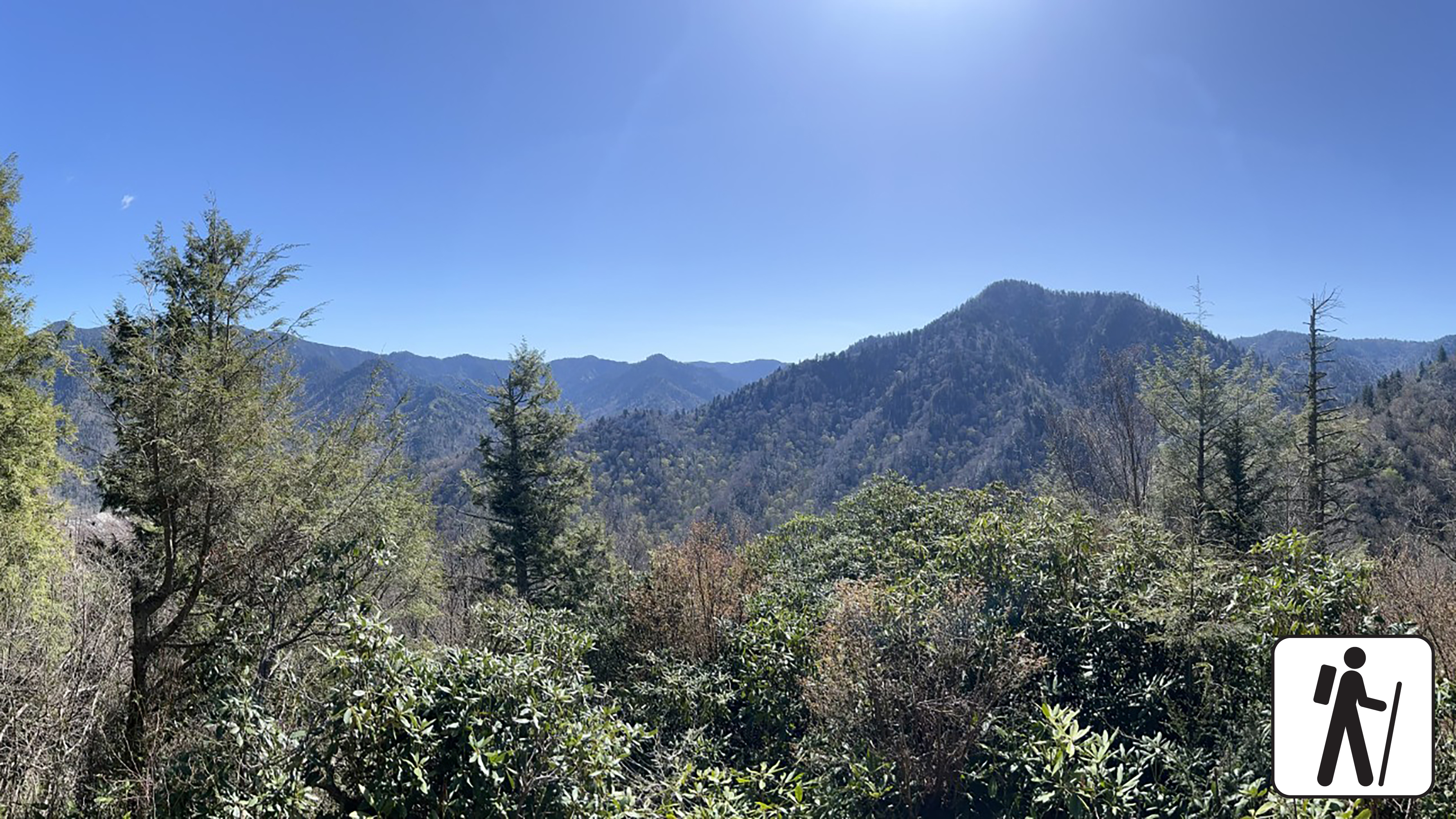
Hike to Chimney Tops Overlook
Hike 3.5 miles (5.6 km) roundtrip on this popular but challenging trail to enjoy views of surrounding mountains and the…
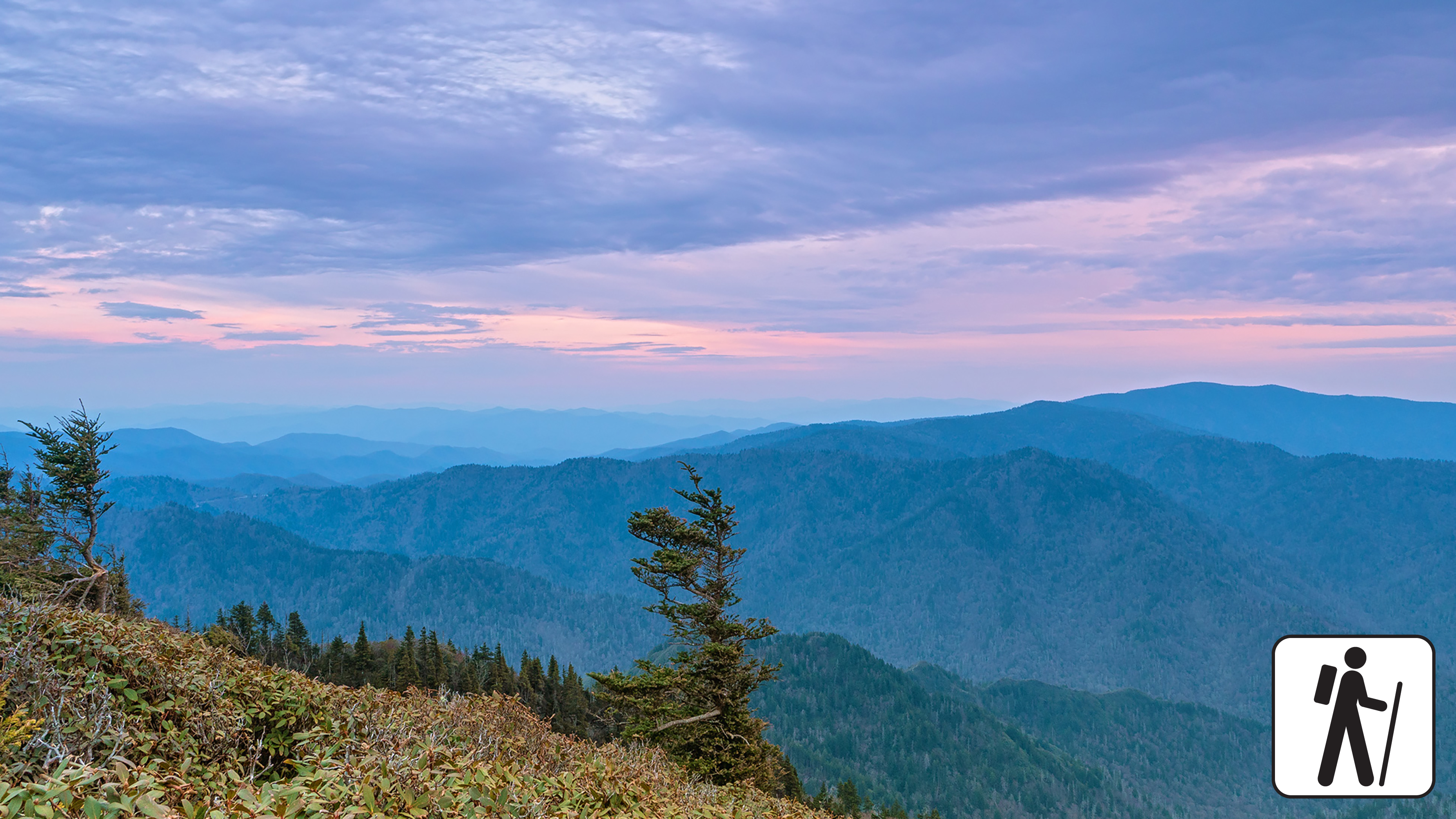
Hike to Mount Le Conte on Bullhead Trail
One of five routes to Mount Le Conte, the Bullhead Trail offers consistent views. The strenuous hike is 13.6 miles…
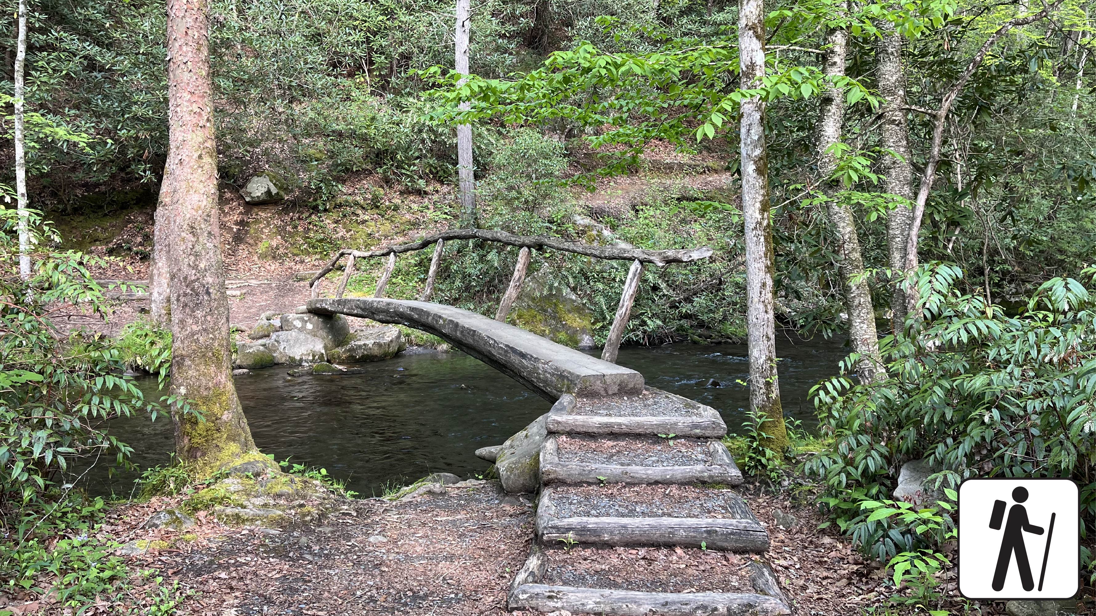
Hike Smokemont Nature Trail
Hike 0.62-mile (1 km) roundtrip on Smokemont Nature Trail which provides a peaceful escape and views of the surrounding peaks.
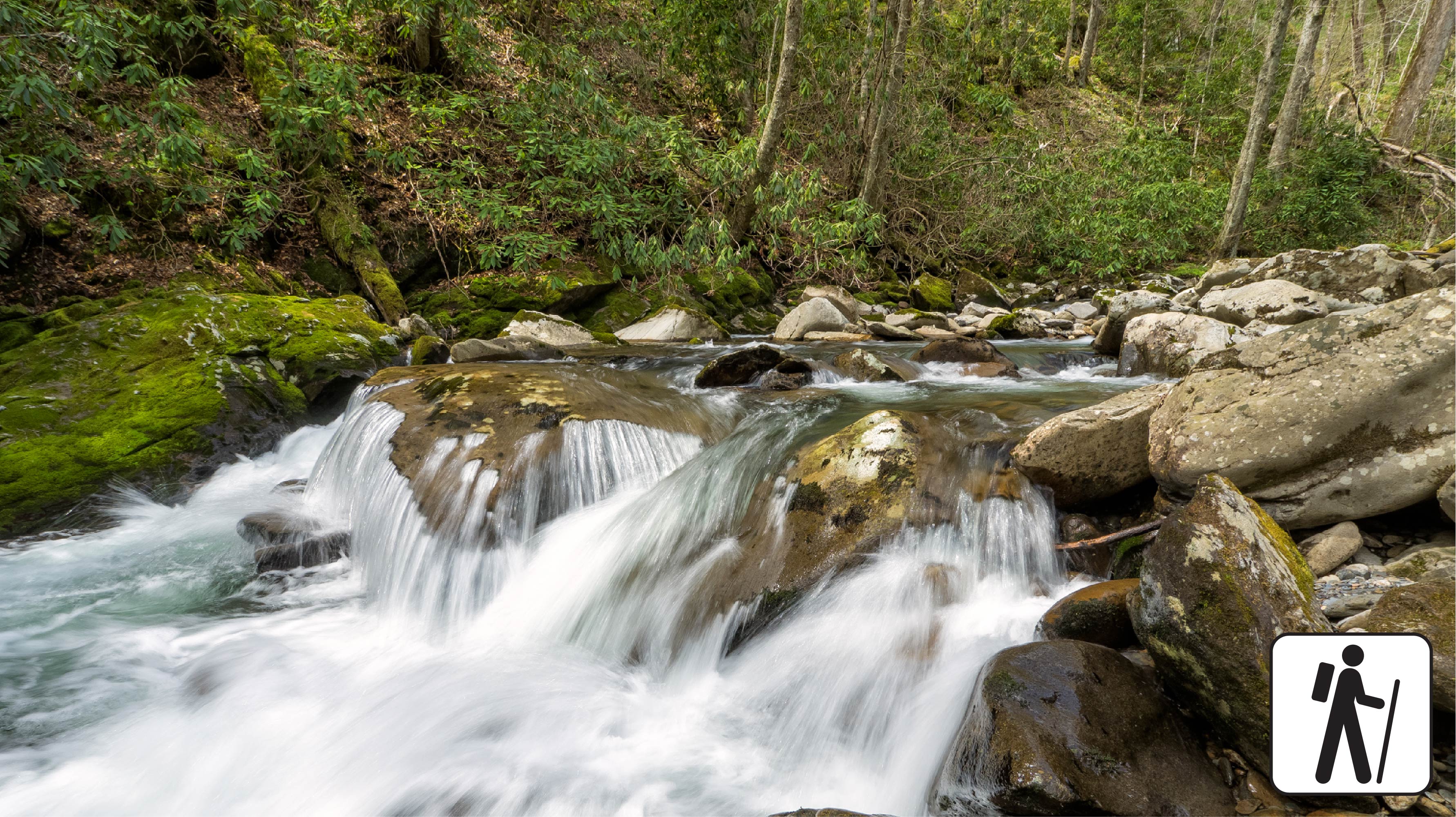
Hike Bradley Fork Trail
The Bradley Fork Trail offers a scenic and diverse outdoor experience, featuring picturesque creeks, seasonal wildflowers, fishing access, horseback riding…