
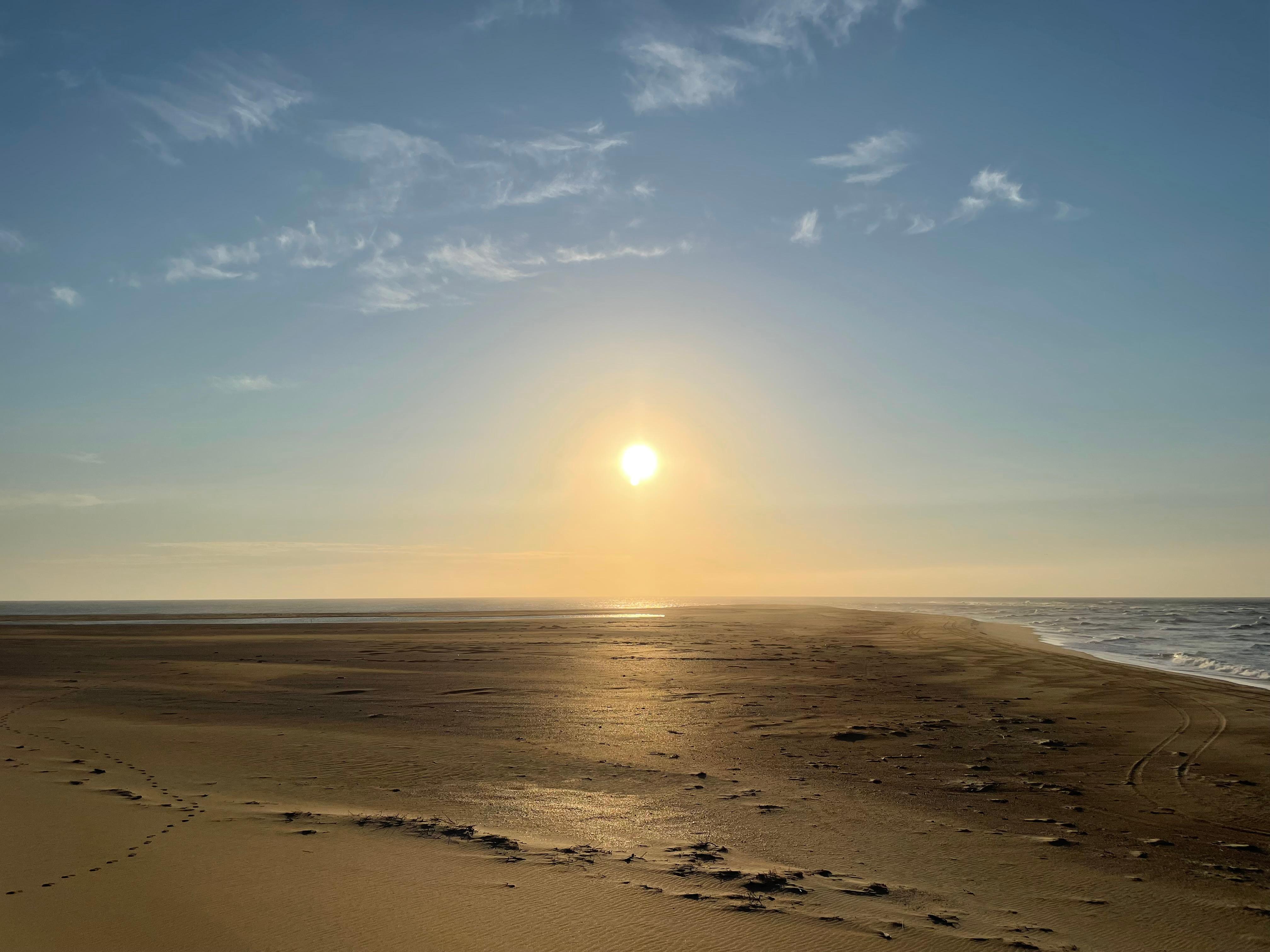
About Cape Hatteras National Seashore
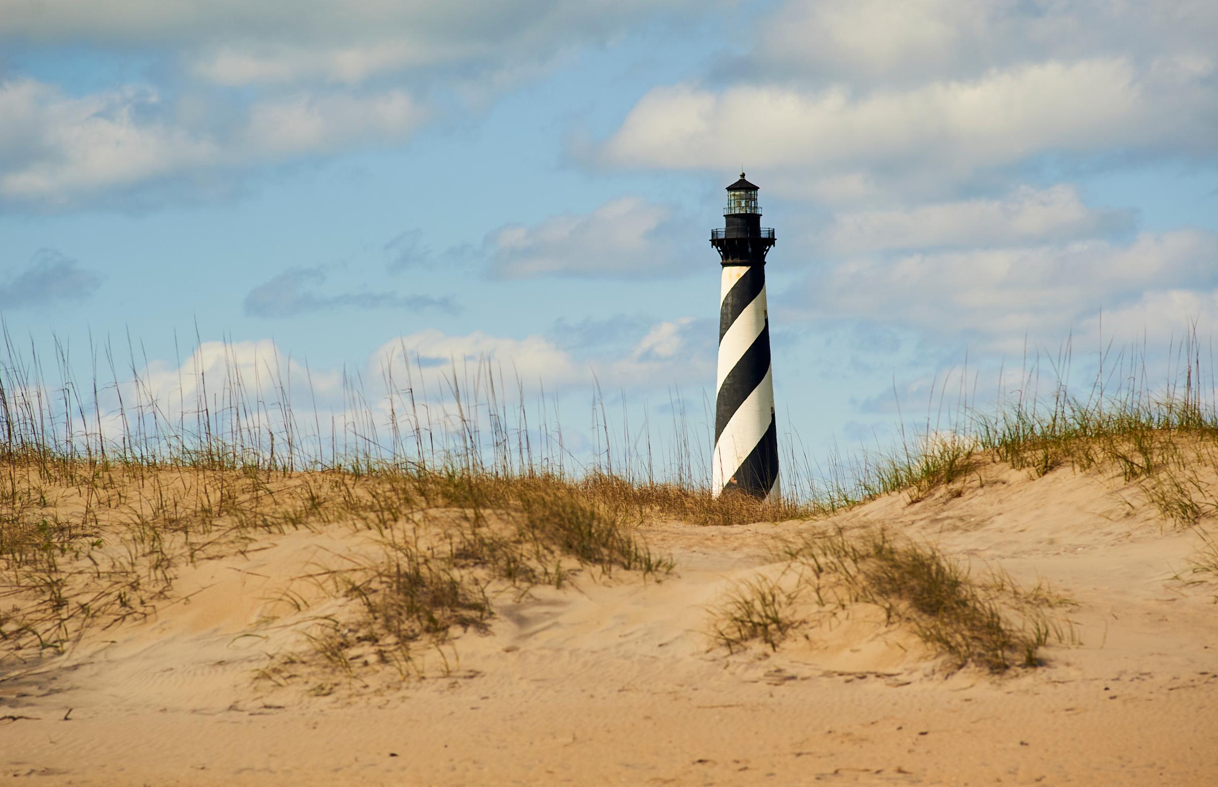
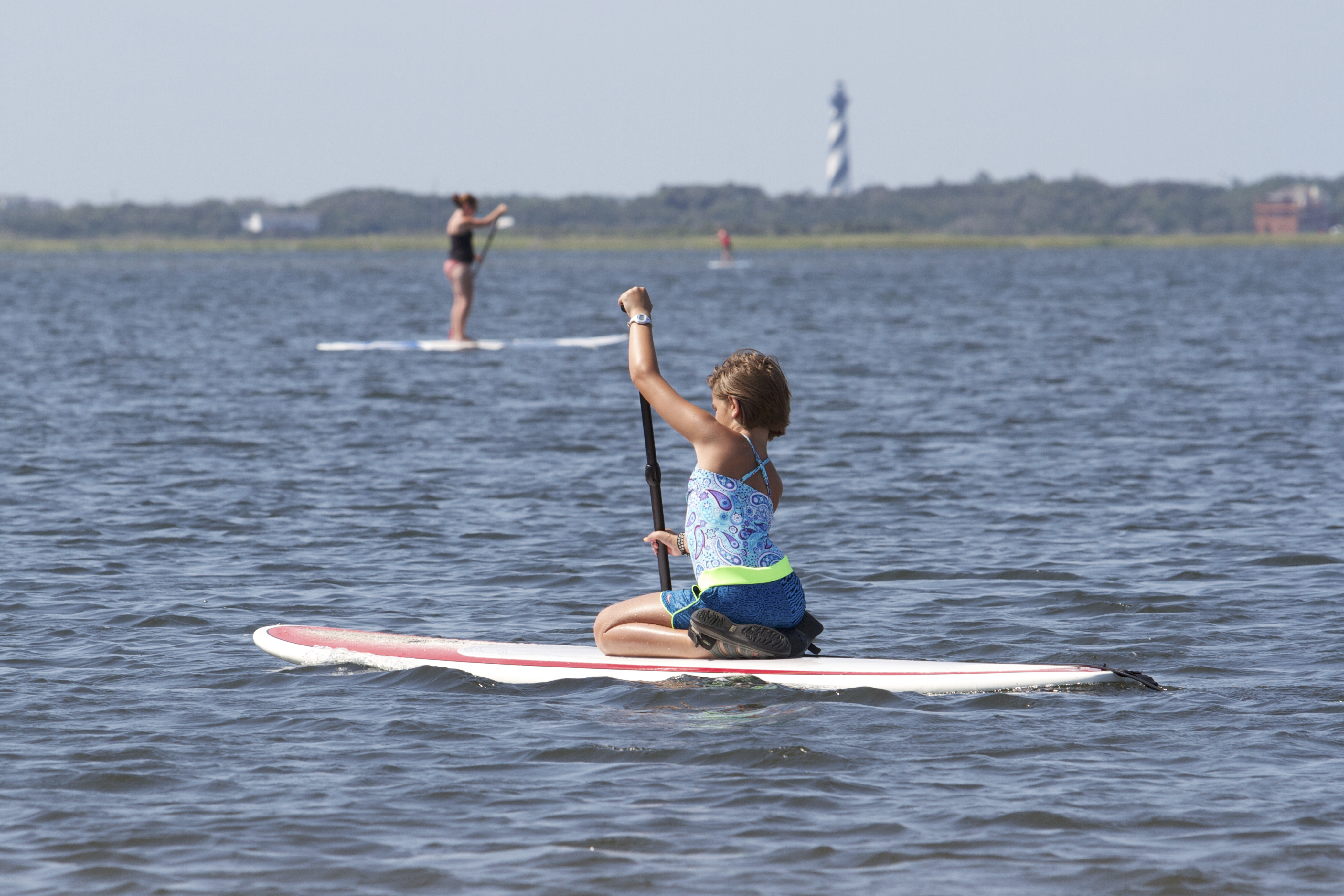
The sound of ocean waves, the starry night sky, or the calm of the salt marshes, you can experience it all. Shaped by the forces of water, wind, and storms these islands are ever changing. The plants, wildlife, and people who live here adapt continually. Whether you are enjoying the beach, kayaking the sound, or climbing the Cape Hatteras Lighthouse there is something for everyone to explore!
Plan a Visit
Core visitor information on this page is sourced from the National Park Service. NPD proximity sections use NPS reference coordinates and straight-line distance. Local source bundle updated Sep 27, 2026. View the official NPS page.
Weather & Conditions
The weather along the Outer Banks varies throughout the year and even throughout the day. Please check the National Weather Service information at http://www.weather.gov/mhx/ for forecast information.
NPS Reference Location
Park state / territory membership: North Carolina. This map uses the National Park Service reference coordinate. It may represent an administrative or reference point rather than a park entrance, trailhead, visitor center, or the nearest access point. Use the official NPS directions below when planning travel.
Operating Hours
The grounds of Cape Hatteras National Seashore are always open for visitors, though there are resource closures that seasonally affect different parts of the beach.
Activities
Current Alerts
The Cape Point and Frisco campgrounds, located on Hatteras Island, are closed until further notice.
The beach from the northern boundary of Rodanthe to the pier in Rodanthe is closed to all access as multiple threatened oceanfront structures pose risks to public safety.
All off-road vehicle ramps are temporarily closed due to hazardous driving conditions and risks that drivers will become stranded at high tides.
The Billy Mitchell Airport (HSE) is closed to accommodate a runway pavement rehabilitation project. The project will provide full resurfacing of paved areas, new reflective paint, and new tie-downs and anchors, improving visitor safety and enhancing the overall visitor experience.
Public access is closed for 300 feet north and south of a groin repair project site in Buxton, as well as the adjacent ocean area to the east. Surfers, swimmers, and all other recreationists should stay at least 300 feet from the southernmost groin area for safety purposes.
The beachfront in front of Buxton Village is temporarily closed due to the presence of threatened oceanfront structures and Dare County's beach nourishment project. Renourished sections of beach will open to the public immediately after construction activities conclude in the areas, generally within 24 hours.
Getting There
Cape Hatteras National Seashore is located along NC-12 in the Outer Banks of North Carolina. You can reach the seashore from the north by following US 158 to Nag Heads, NC and the turn-off to NC-12 and Cape Hatteras National Seashore. From the south, you can take NCDOT ferries from Swanquarter, NC and Cedar Island, NC to the village of Ocracoke on Ocracoke Island. The provided physical address is the location of the Cape Hatteras Lighthouse, roughly in the middle of the park.
View Official DirectionsContact & Address
The NPS-listed address may be an administrative office, visitor center, mailing/contact location, or other park facility rather than a park entrance.
Topics & Themes
Visitor Centers
Bodie Island Visitor Center
NOTE: The building is closed due to a January 2025 structure fire, but rangers are on site to assist visitors, and the lighthouse is open…
Museum of the Sea
About 50 miles south of the seashore's north entrance is the Hatteras Island Visitor Center and Museum of the Sea in Buxton, NC. The Museum…
Ocracoke Island Discovery Center
The Ocracoke Island Discovery Center is where you can go within the village of Ocracoke to get park information and start your exploration of Ocracoke…
Whalebone Junction Information Center
The Whalebone Junction Information Center is located on Highway 12 in Nags Head, NC at the entrance to Cape Hatteras National Seashore. Park maps, newspapers,…
Hatteras Island Weather Bureau Station
The Hatteras Weather Bureau Station was built in 1901 as one of the many stations along the east coast that would forecast weather for boats…
Campgrounds
Cape Point Campground
Cape Point Campground with 202 sites is located southwest of the Cape Hatteras Lighthouse, and within walking distance of the Atlantic Ocean and Cape Hatteras…
Ocracoke Campground
Ocracoke Campground with 136 sites is located east of the village of Ocracoke, North Carolina on the island of Ocracoke. The campground offers grills, flush…
Oregon Inlet Campground
Oregon Inlet Campground has 107 sites and is open year round. Camping on a barrier island provides a chance to take in the power and…
Frisco Campground
Frisco Campground with 127 sites is located west of the Cape Hatteras Lighthouse near the village of Frisco, North Carolina. The campground is tucked between…
Nearby National Park Service Sites
These sites are ordered by straight-line distance between NPS reference coordinates. This is useful for comparison, but it is not road mileage. Trails, parkways, rivers, and distributed units may extend far from their reference point.


Nearby Cities for Trip Planning
These cities are ordered by straight-line distance from the NPS reference coordinate. They are comparison starting points, not official park gateways or road-distance estimates. Trails and other distributed units may extend far beyond this reference point.
🗺️ Guided Tours & Experiences
Discover Cape Hatteras National Seashore with expert-led tours
We earn a commission if you make a purchase, at no additional cost to you.
🏨 Search Lodging for Cape Hatteras National Seashore
Review lodging results matching this park or site name
We earn a commission if you make a purchase, at no additional cost to you.