

About Blue Ridge Parkway
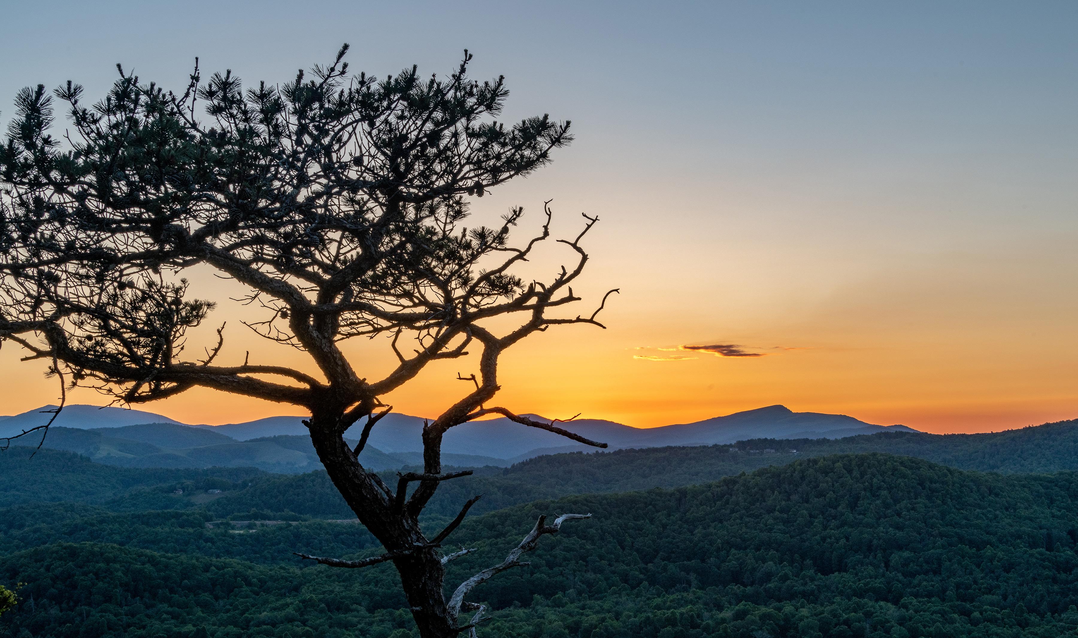
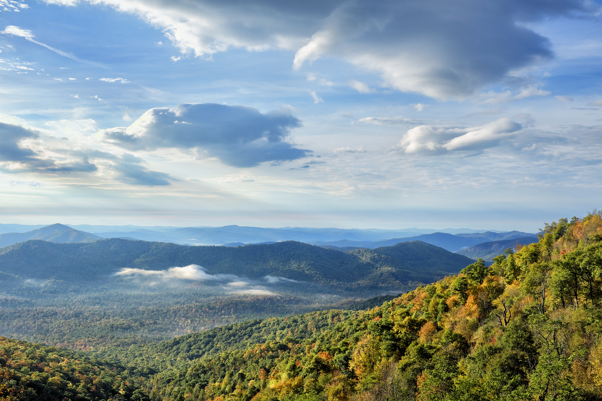
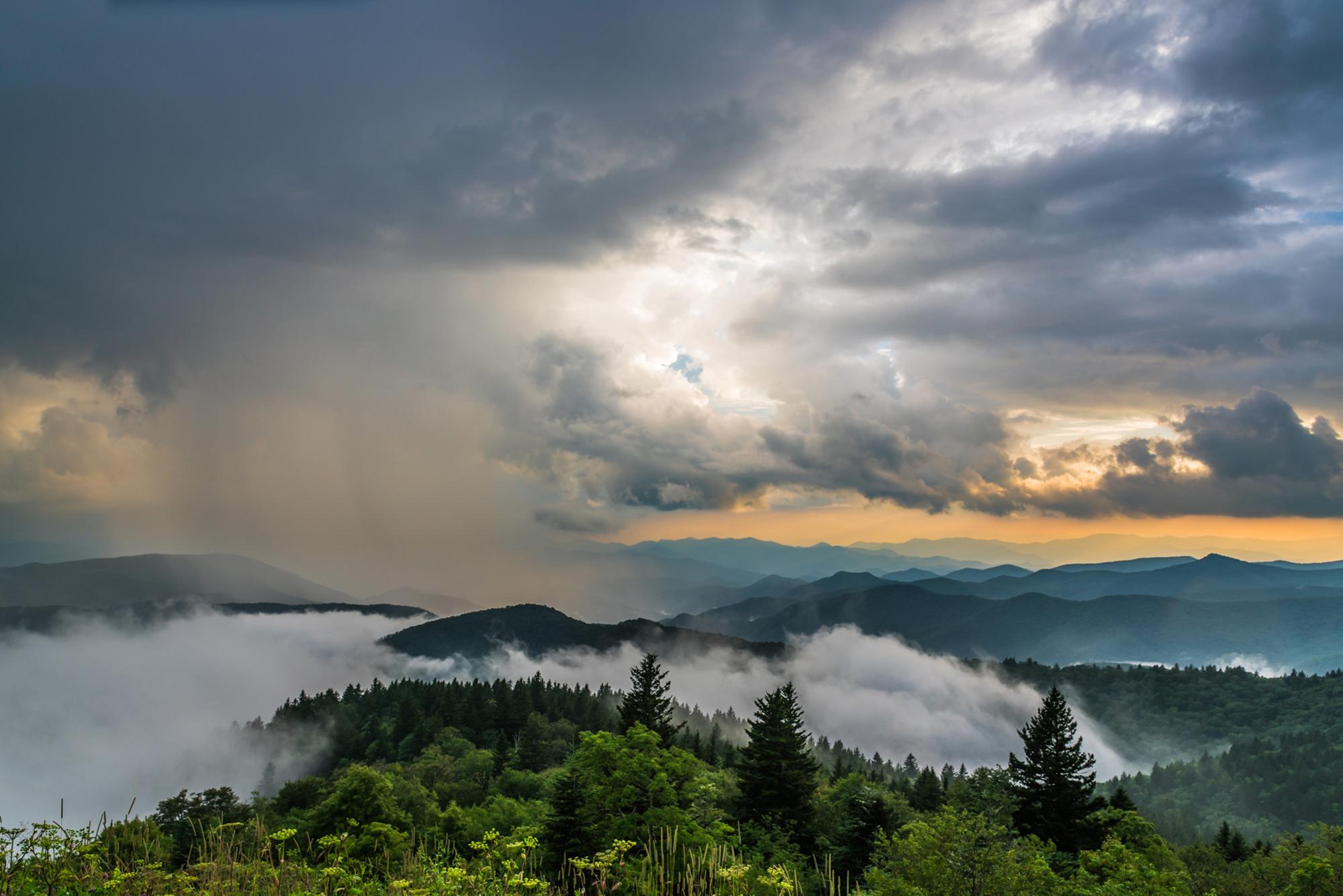
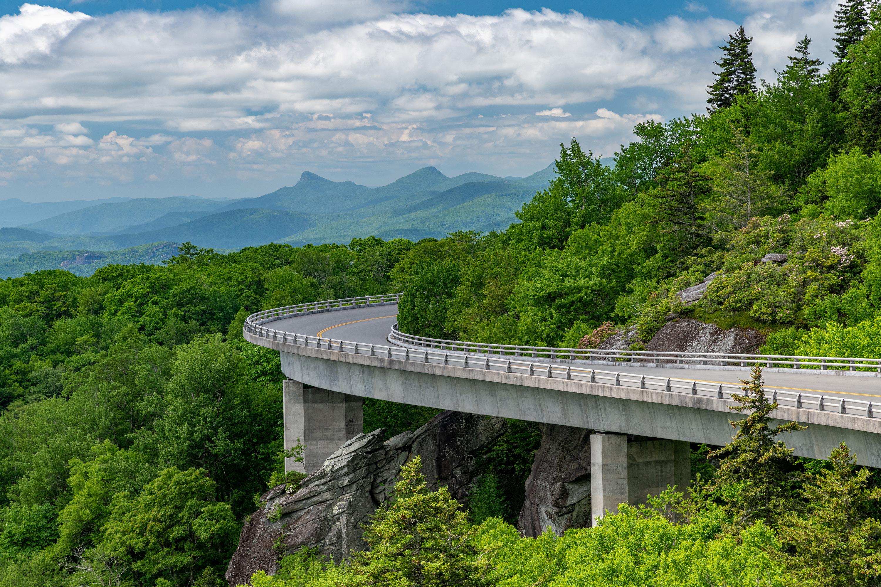
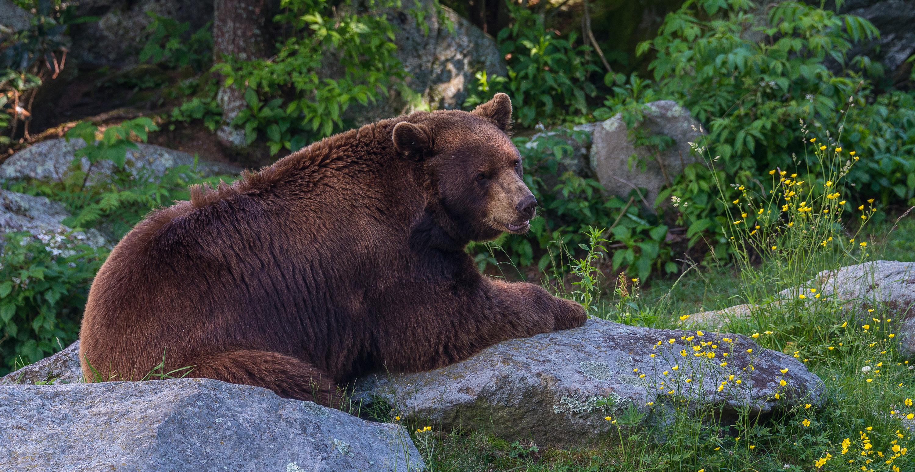
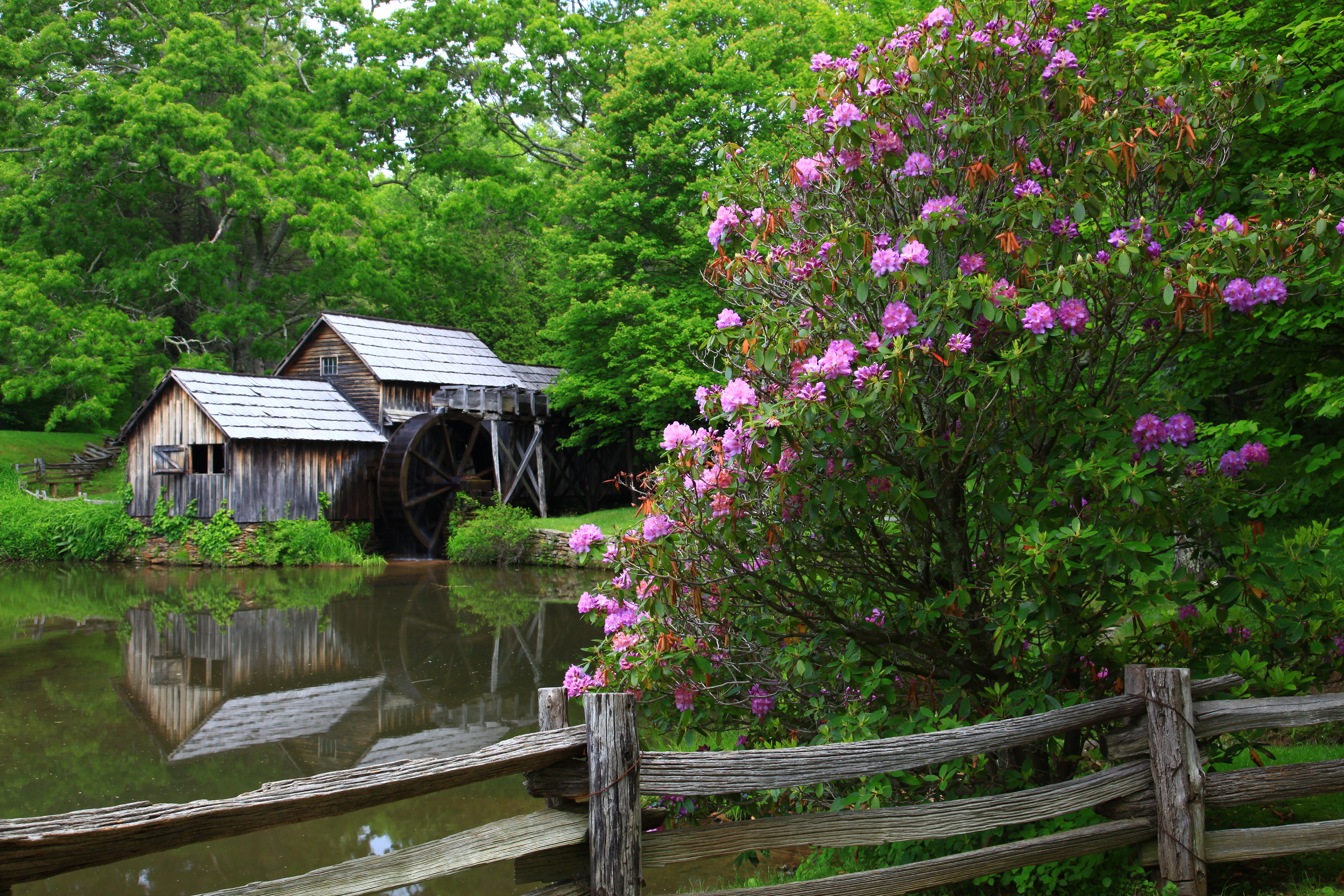
A Blue Ridge Parkway experience is unlike any other: a slow-paced and relaxing drive revealing stunning long-range vistas and close-up views of the rugged mountains and pastoral landscapes of the Appalachian Highlands. The Parkway meanders for 469 miles, protecting a diversity of plants and animals, and providing opportunities for enjoying all that makes this region of the country so special.
Plan a Visit
Core visitor information on this page is sourced from the National Park Service. NPD proximity sections use NPS reference coordinates and straight-line distance. Local source bundle updated Sep 27, 2026. View the official NPS page.
Weather & Conditions
The weather on the parkway can vary widely along its 469-mile route. Precipitation is possible any time of the year. Winter can be cold and snowy, especially at the higher elevations. Spring and fall can have large temperature swings, from near freezing to over 80 degrees Fahrenheit. Summers are hot…
NPS Reference Location
Park state / territory membership: North Carolina, Virginia. This map uses the National Park Service reference coordinate. It may represent an administrative or reference point rather than a park entrance, trailhead, visitor center, or the nearest access point. Use the official NPS directions below when planning travel.
Operating Hours
The road is open 24 hours a day, weather permitting. Road closures due to inclement weather occur most frequently during winter. Sections of the road may also be closed during road maintenance projects. Check our road closure map to verify that the parkway is open before traveling. Visitor centers and other facilities have hours and seasons that vary. Most picnic areas, campgrounds, and visitor centers are closed from the beginning of November until early May.
Activities
Getting There
The parkway is a 469-mile-long scenic road connecting Shenandoah National Park in Virginia to Great Smoky Mountains National Park in North Carolina. Numerous federal and state highways provide access to the parkway. Milepost markers are positioned every mile along the parkway, starting at 0 in Virginia and ending at 469 in North Carolina. We suggest using a map to identify the area you want to visit, as GPS directions often do not incorporate the parkway's milepost system.
View Official DirectionsContact & Address
The NPS-listed address may be an administrative office, visitor center, mailing/contact location, or other park facility rather than a park entrance.
Topics & Themes
Things To Do
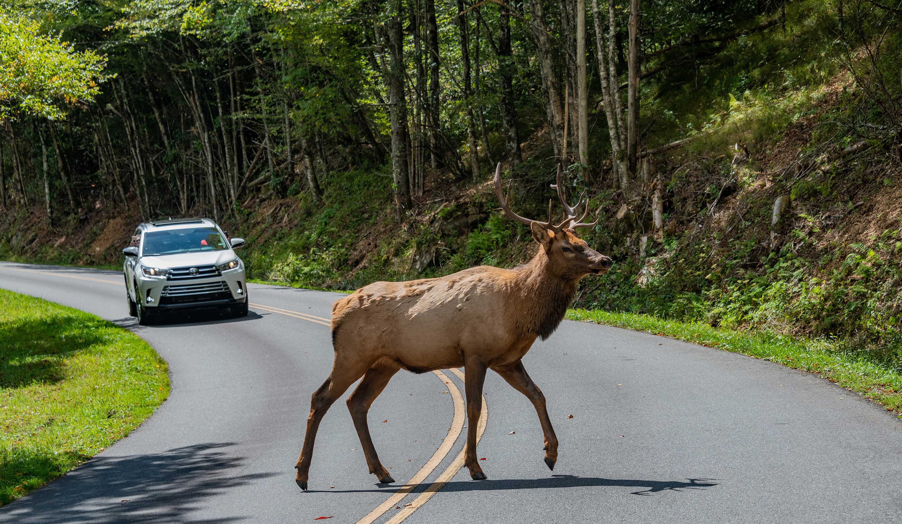
Spot an Elk on the Heintooga Spur Road
Heintooga Ridge Road on the southern end of the Blue Ridge Parkway is a good place to spot elk.
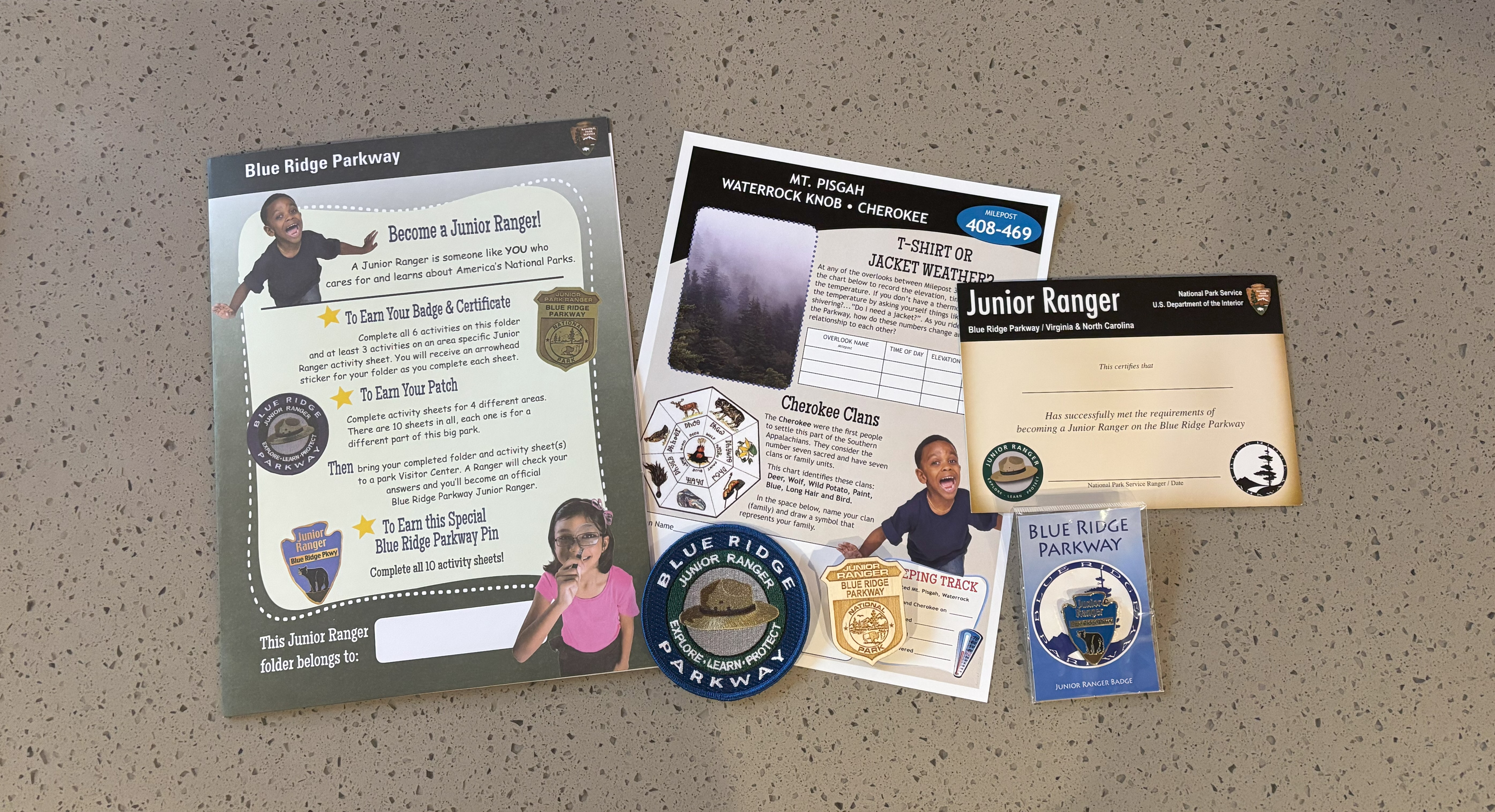
Become a Blue Ridge Parkway Junior Ranger
Becoming a Blue Ridge Parkway Junior Ranger is exciting and rewarding! Pick up your Junior Ranger Folder and instructions at…
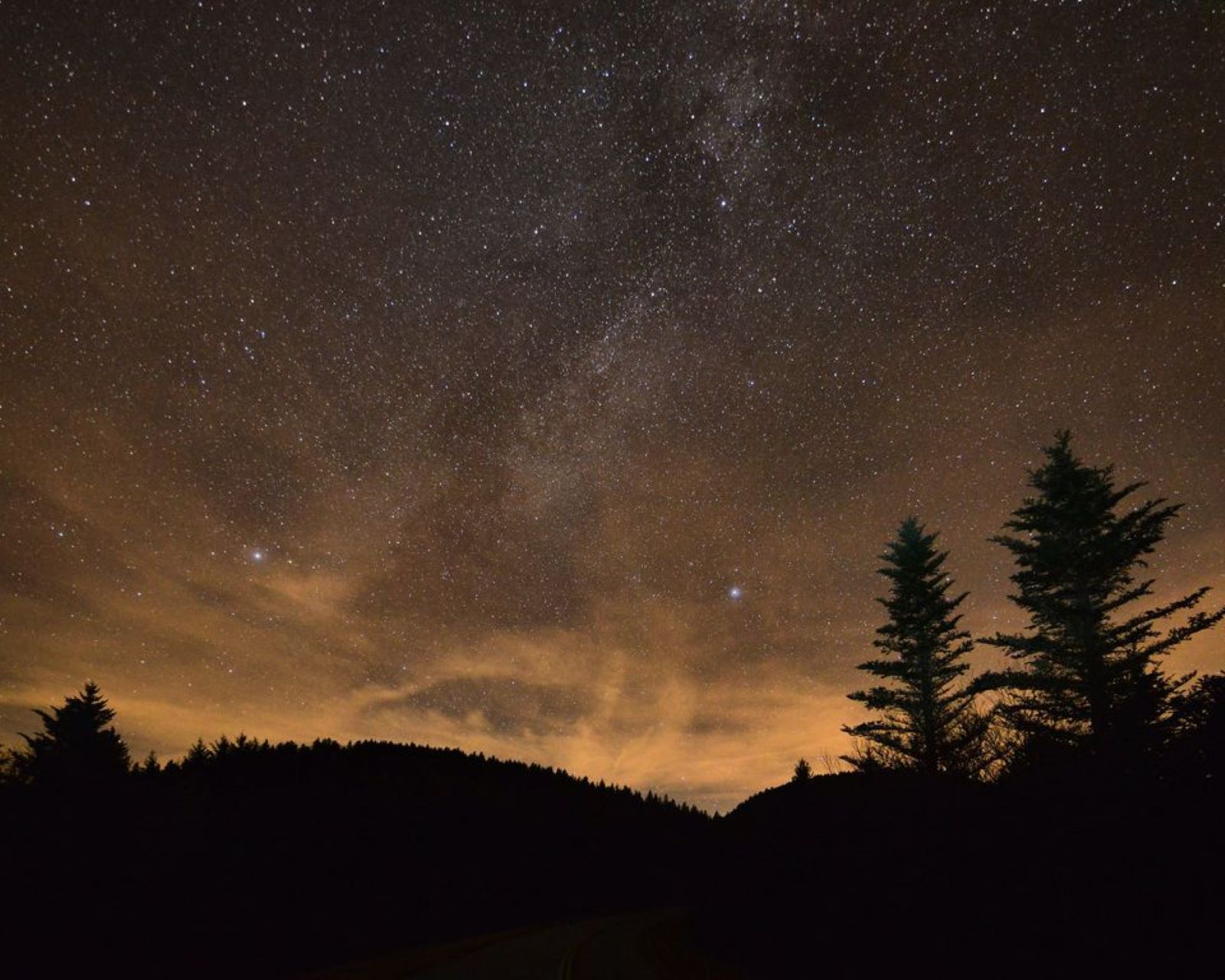
Stargaze at Waterrock Knob
Stargazing on the Blue Ridge Parkway can be an amazing experience. Waterrock Knob at Milepost 451.2 is a great place…
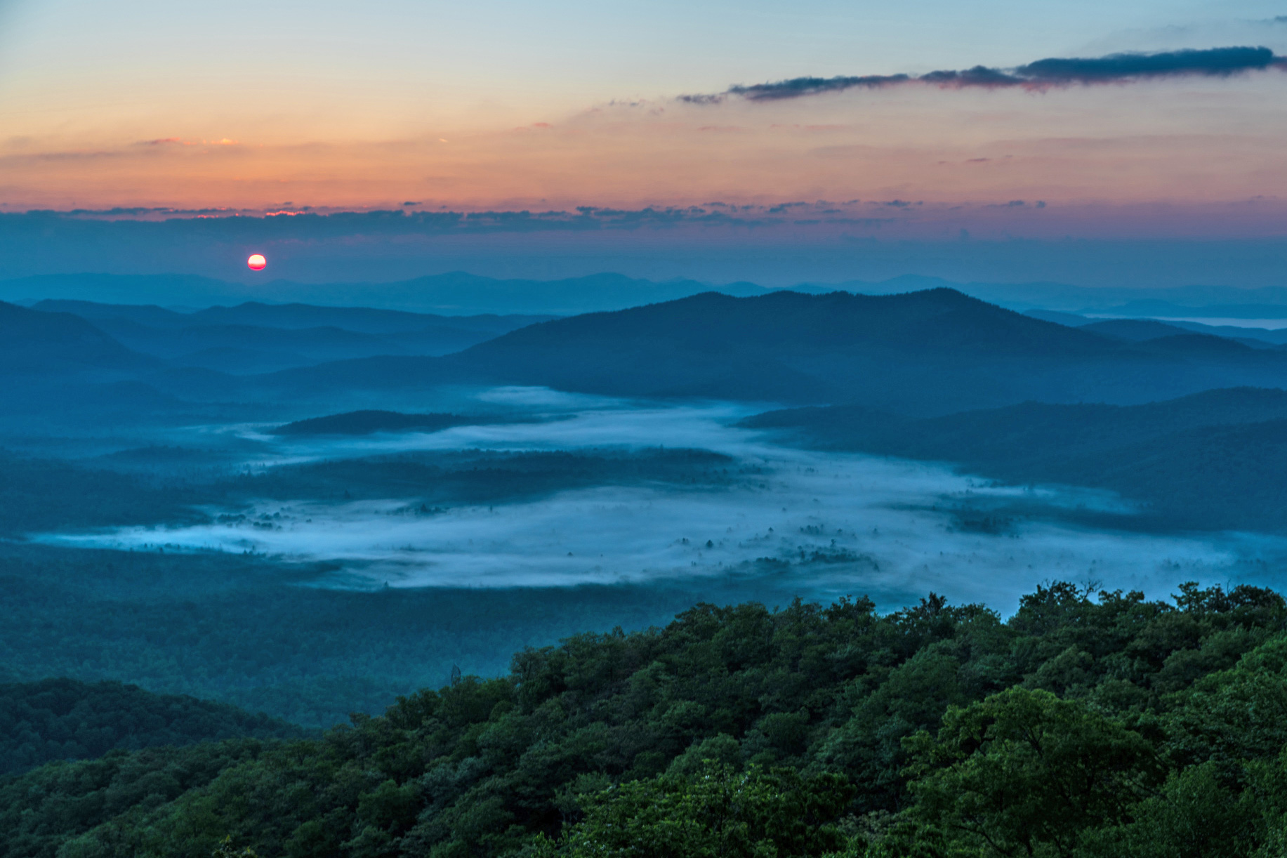
Watch the Sunrise from Pounding Mill Overlook
Sunrise on the Blue Ridge Parkway can be an amazing, once-in-a-lifetime experience. Pounding Mill Overlook at Milepost 413 is a…
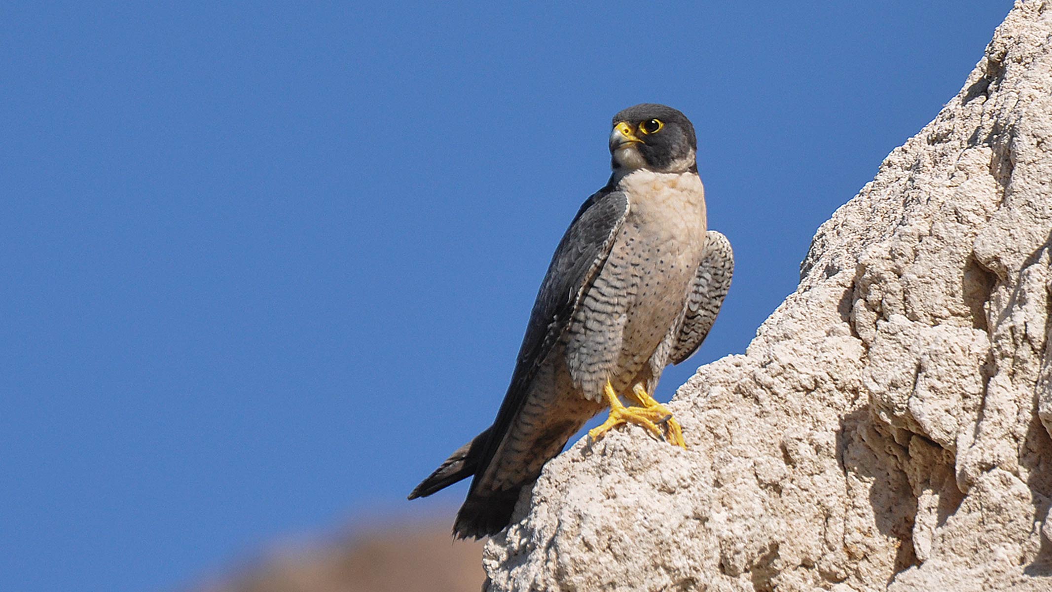
Watch Peregrine Falcons at Devils Courthouse
Peregrine falcon, once near extinction, now can be viewed in the skies over the Blue Ridge Parkway.

Watch for Hawks at the Mills River Overlook
The raptors are coming! And they’ve got the “kettle” on!
More Things to Do
Additional activities and experiences from the National Park Service.