
About Bighorn Canyon National Recreation Area
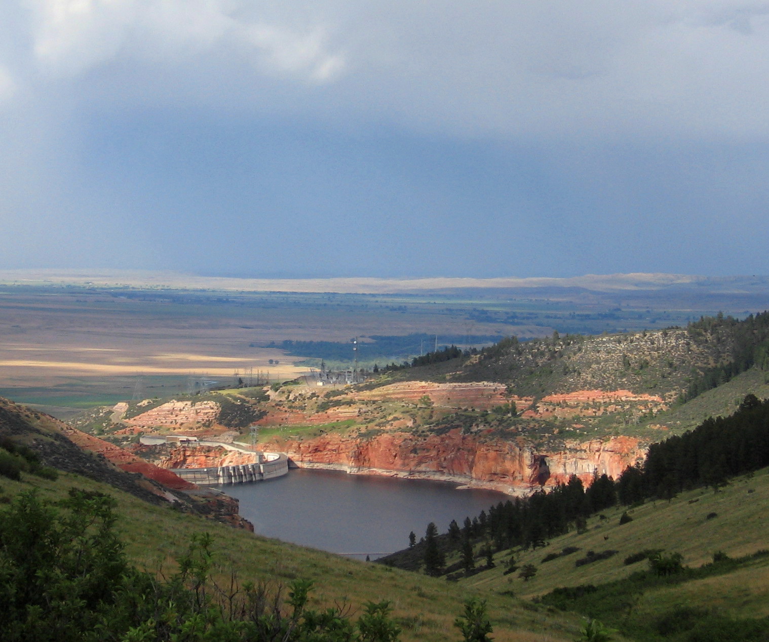
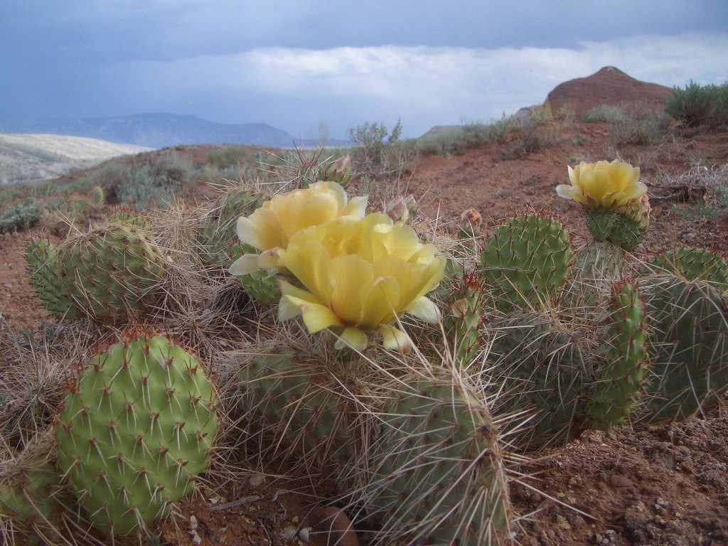
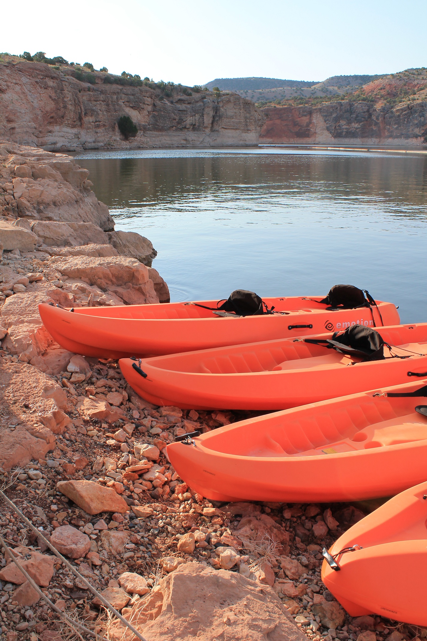
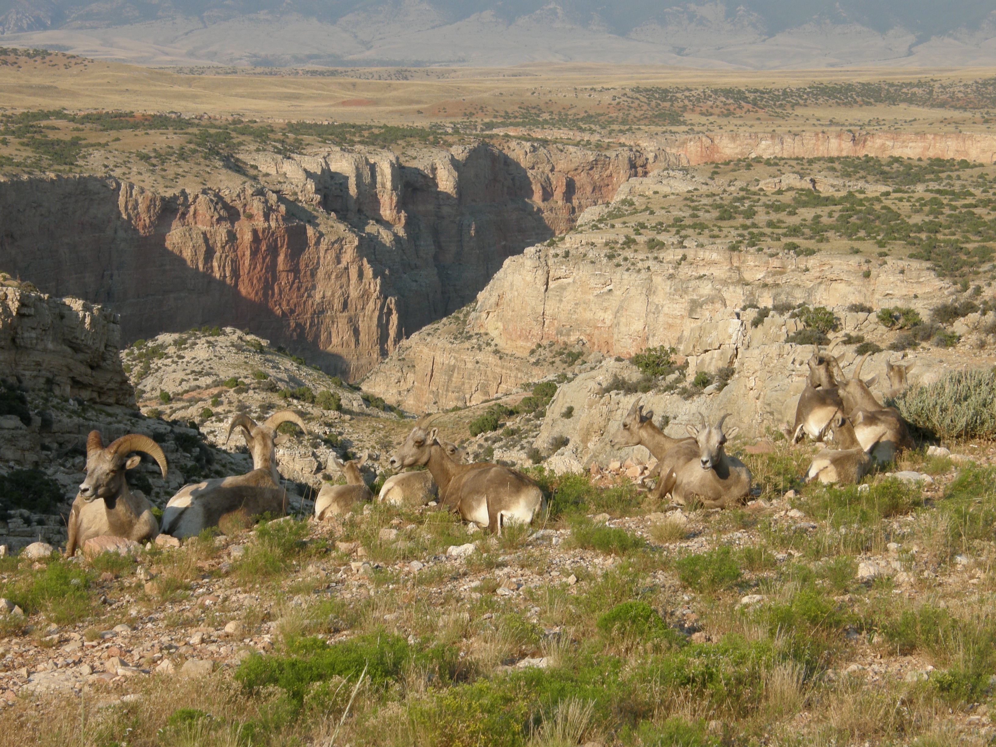
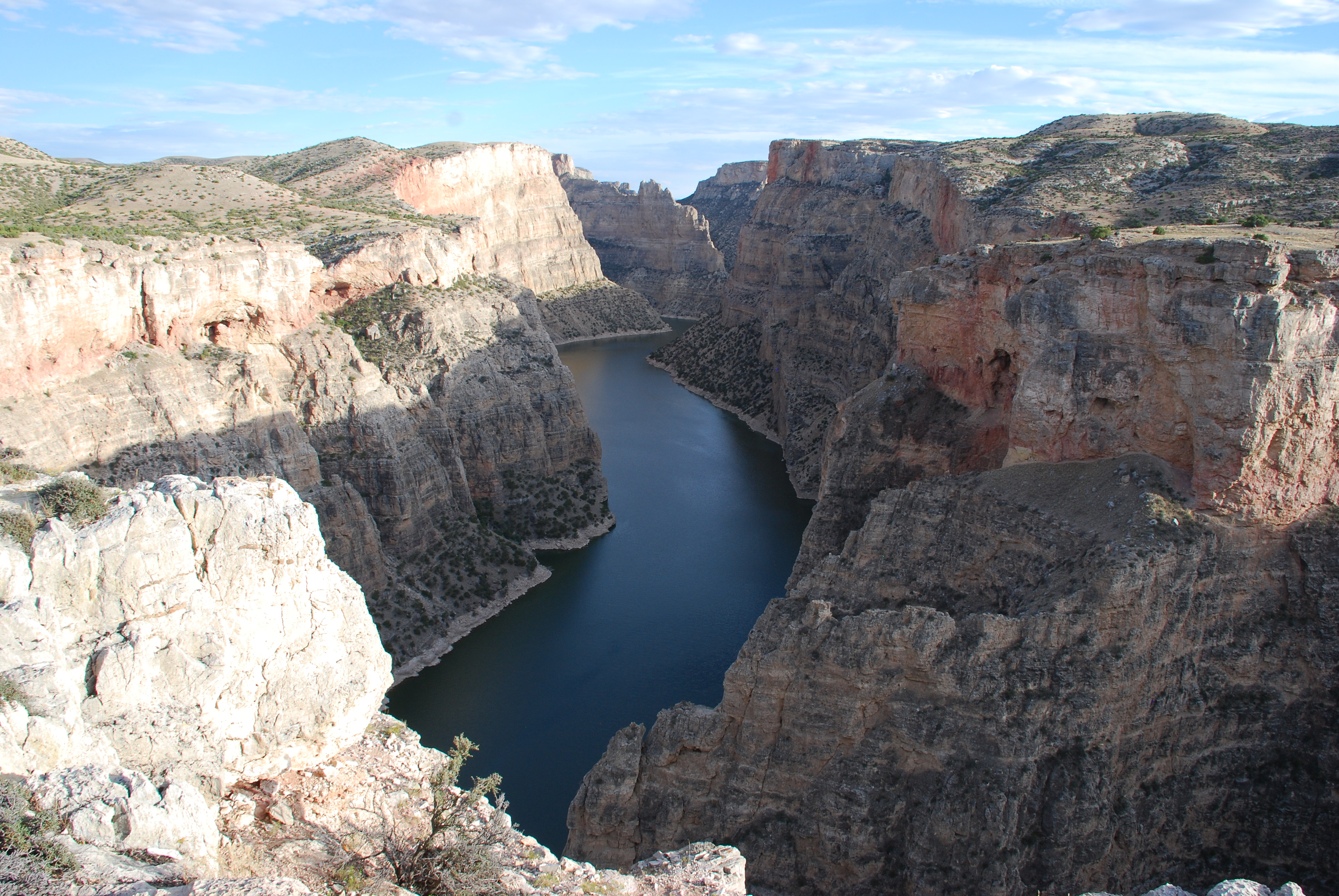
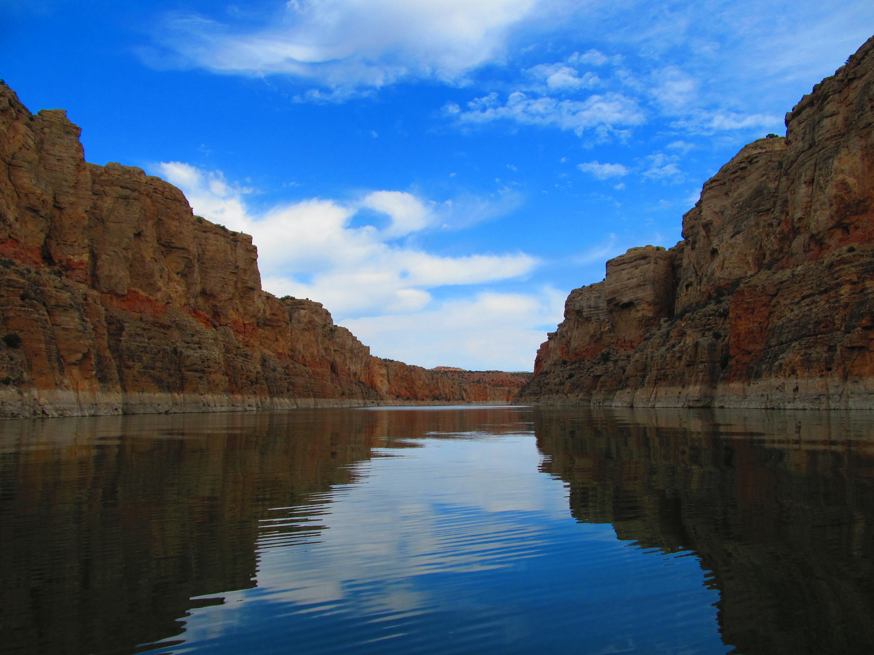
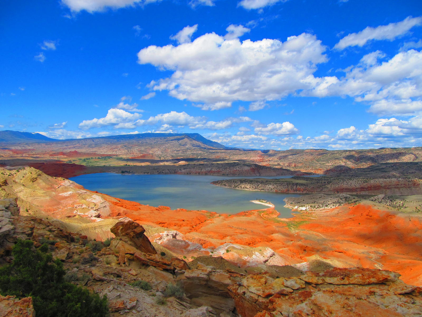
The vast, wild landscape of Bighorn Canyon National Recreation Area offers visitors unparalleled opportunities to immerse themselves in the natural world, and experience the wonders of this extraordinary place. With over 120,000 acres, one can find an astounding diversity in ecosystems, wildlife, and more than 10,000 years of human history to explore.
Plan a Visit
Core visitor information on this page is sourced from the National Park Service. NPD proximity sections use NPS reference coordinates and straight-line distance. Local source bundle updated Sep 27, 2026. View the official NPS page.
Weather & Conditions
North District: Semi-arid, receiving 18 to 20 inches of rain annually. South District: High-desert, receiving 6 to 10 inches of rain annually. Summer temperatures: Highs in the 80s (F) and 90s (F), lows in the 50s (F) and 60s (F). Summer temperatures can peak over 100 degrees. Winter temperatures: Range…
NPS Reference Location
Park state / territory membership: Montana, Wyoming. This map uses the National Park Service reference coordinate. It may represent an administrative or reference point rather than a park entrance, trailhead, visitor center, or the nearest access point. Use the official NPS directions below when planning travel.
Operating Hours
Bighorn Canyon NRA is open 24 hours a day, 365 days a year.
Activities
Current Alerts
Due to a water shortage, flushable toilets are currently unavailable at the Ok-A-Beh Marina. Vault toilets are available at the upper parking lot and a floating restroom is available on the courtesy dock.
When lake levels are below 3625, boaters are advised to avoid areas south of Horseshoe Bend and the South Narrows due to low water levels. Throughout the year, lake water levels fluctuate greatly. Hazards and launching abilities change with the water levels. Please use caution when recreating on Bighorn Lake.
Getting There
Bighorn Canyon has two districts that are separated by a three hour drive. To get to the North District at Fort Smith, MT from Billings, take Interstate 90 south to Hardin, MT. Turn at exit 495 onto State Highway 313 to St. Xavier and then to Fort Smith, Montana. To get to the South District at Lovell, WY from Billings, MT, take Interstate 90 west. Turn at exit 434 at Laurel, MT. Turn onto US 310 East/US 212 South. Turn at US 310 East to Lovell. The visitor center is on the east side of Lovell.
View Official DirectionsContact & Address
The NPS-listed address may be an administrative office, visitor center, mailing/contact location, or other park facility rather than a park entrance.
Topics & Themes
Things To Do

Devil Canyon Overlook at Bighorn Canyon NRA
One of the most iconic views in the park, Devil Canyon Overlook is a must see for everyone visiting the…
Visitor Centers
Cal S. Taggart Bighorn Canyon Visitor Center (Lovell, WY)
The visitor center includes various exhibits and programs ranging from a large regional relief map, to films about the wild horses, canyon/area geology, and authentic…
Campgrounds
Horseshoe Bend Campground
- Located near Lovell, WY - Open All Year - All sites include fire pit and picnic table. - 68 RV and tent sites -…
Barry's Landing & Trail Creek Campground
Barry's Landing & Trail Creek campgrounds are located on the south district near Barry's Landing, 27 miles north of Lovell, WY on HWY 37. -…
Afterbay Campground
- Near Fort Smith, Montana - Open All Year - 22 RV and tent sites are located on the south shore of Afterbay lake -…
Grapevine Campground
- Near Fort Smith, Montana - Open All Year! - 14 RV and tent sites are located on the north shore of Afterbay lake -…
Medicine Creek Campground
Medicine Creek campground is a boat-in or hike-in only campground. It is approximately 3 miles north of Barry's Landing by land or water. - Open…
Black Canyon Campground
Black Canyon is a boat-in-only campground located five lake miles from the Ok-A-Beh boat ramp. Black Canyon occasionally closes due to aggressive bear activity as…