


About Bandelier National Monument
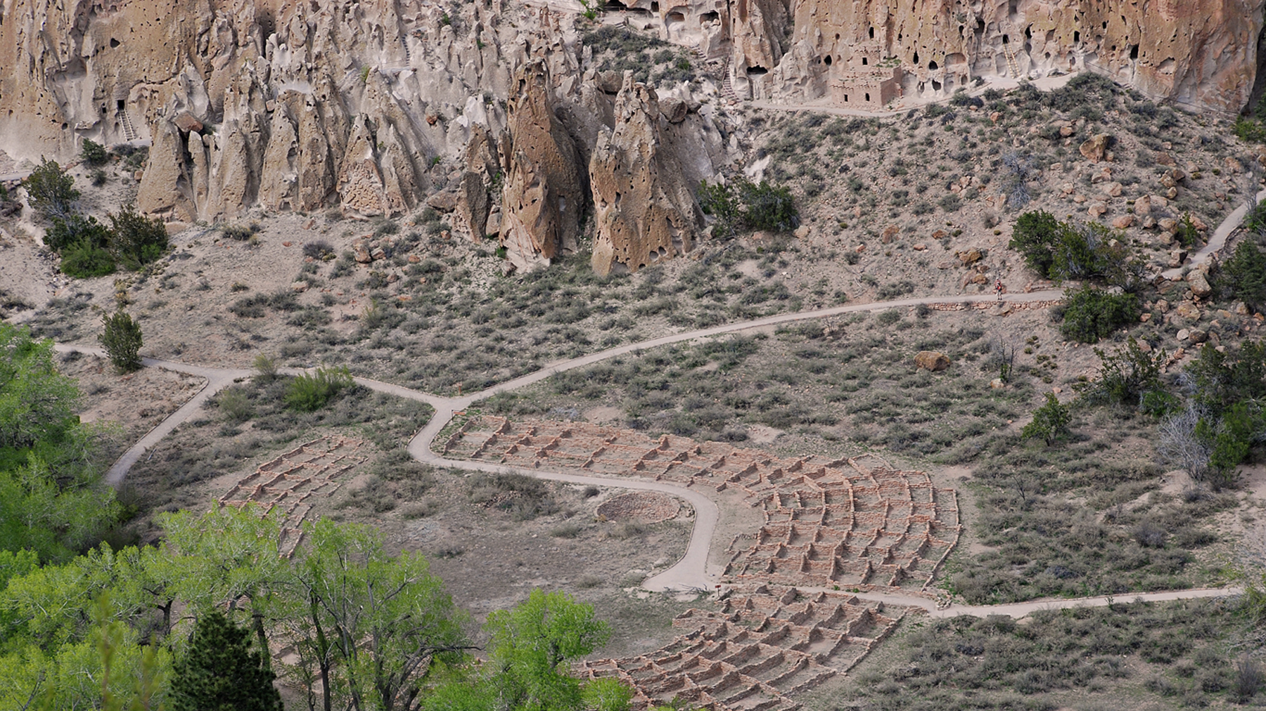
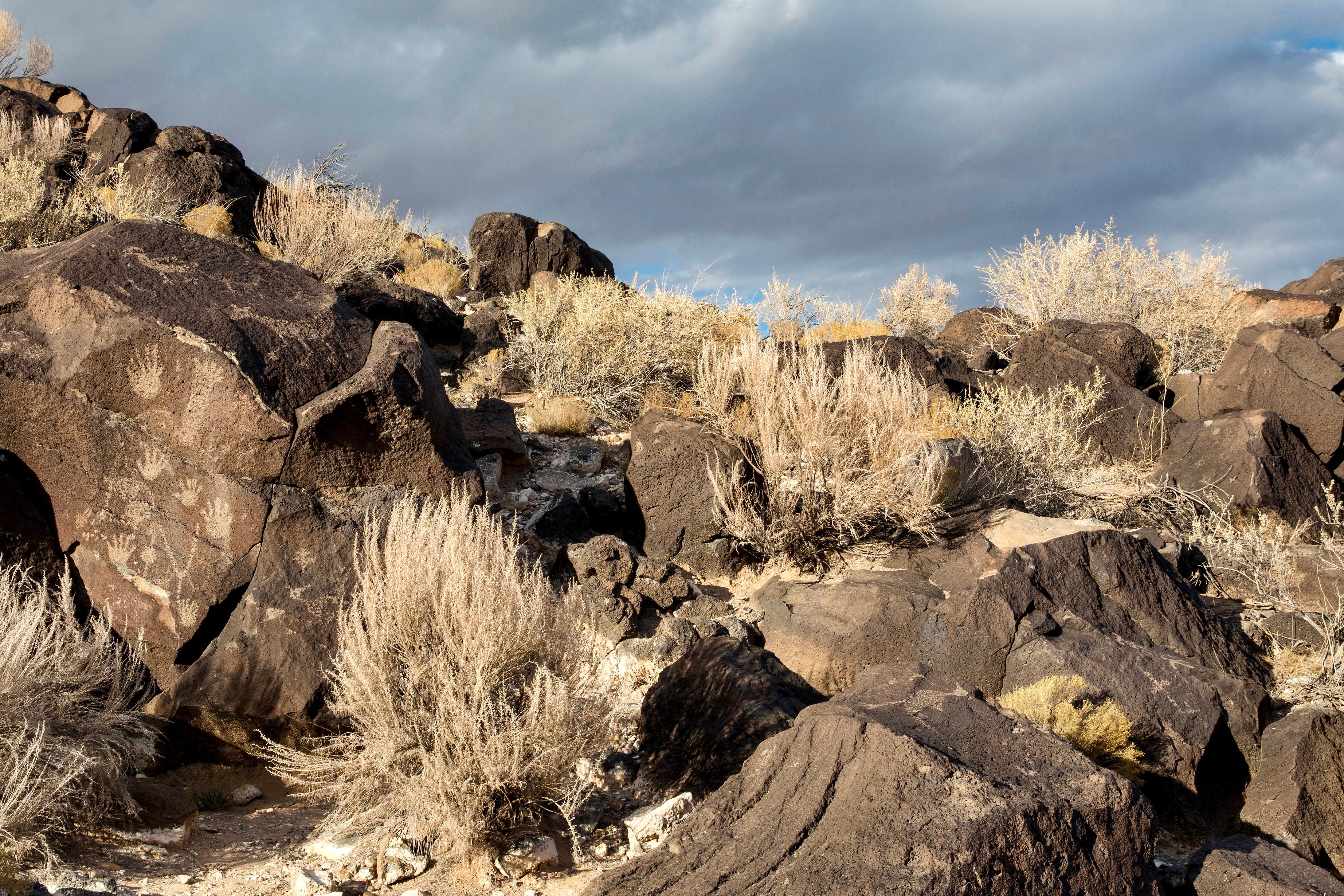
Bandelier National Monument protects over 33,000 acres of ruggedly beautiful canyon and mesa country. Petroglyphs, dwellings carved into the soft rock cliffs, and standing masonry walls pay tribute to the early days of a culture that still survives in the surrounding communities.
Plan a Visit
Core visitor information on this page is sourced from the National Park Service. NPD proximity sections use NPS reference coordinates and straight-line distance. Local source bundle updated Sep 27, 2026. View the official NPS page.
Weather & Conditions
Spring daytime temperatures in the 70's can be followed by a snow storm with wet heavy snow and daytime temperatures in the 40's. Summers are dry with June usually being the hottest month of the year. Days in July, August and September often end with thunderstorms that can drop heavy…
NPS Reference Location
Park state / territory membership: New Mexico. This map uses the National Park Service reference coordinate. It may represent an administrative or reference point rather than a park entrance, trailhead, visitor center, or the nearest access point. Use the official NPS directions below when planning travel.
Entrance Fees
Pass covers all persons traveling in a single, private, non-commercial vehicle (car, truck, camper, or van up to 15 passengers). Auto passes are non-transferable and not replaced if lost or stolen. Entrance passes do not cover camping fees.
Valid for 7 days. Admits up to 2 private, non-commercial motorcycles with up to 4 total passengers.
Pass covers per person entrance fee for those 16 years of age and older traveling on foot or by bicycle, or for individuals traveling together in a 16 passenger or greater vehicle as a non-commercial, organized group. Individual passes are non-transferable and not replaced if lost or stolen.
Operating Hours
Bandelier National Monument is open every day from dawn to dusk unless impacted by severe weather or noted for specific holidays. The hours of dawn and dusk vary throughout the year so please come prepared knowing when you may have to exit the canyon. Visitors holding an overnight backcountry permit are allowed to be in the park after these hours following the guidance of their permit. The Juniper and Ponderosa campgrounds are open 24hrs.
Activities
Current Alerts
Bandelier is in a remote location, with cell service in the canyon limited to Verizon 4G only. Services like Uber and Lyft will bring you here, but there may be no way to contact a ride out. Please plan your pickup before being dropped off at Bandelier.
Numerous visitors have been routed to remote trailheads and out-of-the-way roads trying to use GPS to reach the main park area or shuttle stop.
Getting There
From NM285 US84 in Pojaque NM. West on NM502, West on NM4 to White rock. Then 12 miles to the monument entrance on the south side of the road. Bandelier is in a remote location, with cell service in the canyon limited to Verizon 4G only. Services like Uber and Lyft will bring you here, but there may be no way to contact a ride out. Please plan your pickup before being dropped off at Bandelier.
View Official DirectionsContact & Address
The NPS-listed address may be an administrative office, visitor center, mailing/contact location, or other park facility rather than a park entrance.
Entrance Passes
Valid for one year from month of purchase. Admits passholder and passengers in a single, private, non-commercial vehicle, or the pass holder plus up to 3 other people when entry is by other means (foot, bicycle). Non-transferable, non-refundable, not replaceable if lost or stolen.
Topics & Themes
Things To Do

Hike the Upper Falls Trail
Description of the Falls Trails.
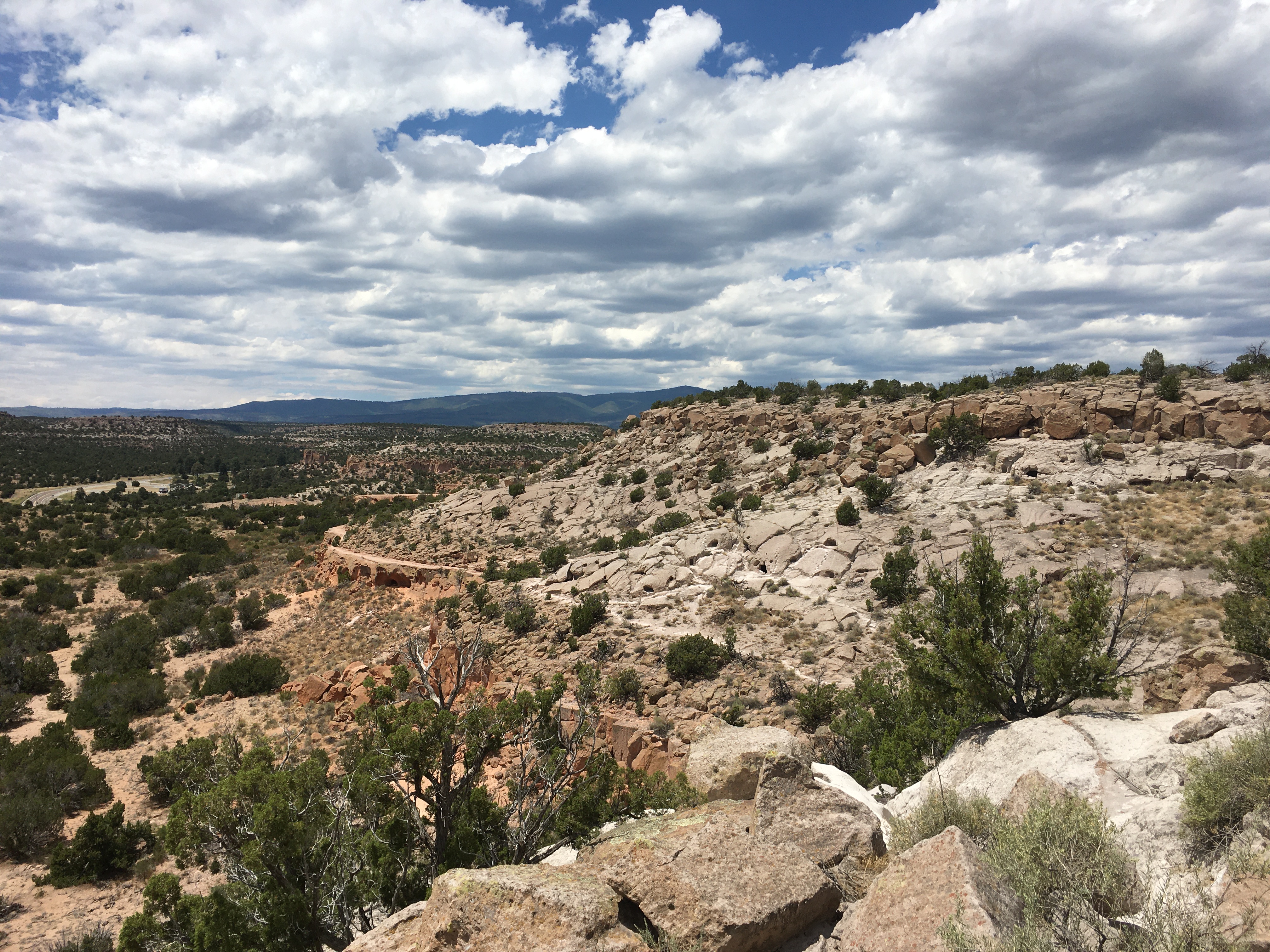
Hike the Tsankawi Loop Trail
Learn everything you need to know about hiking the Tsankawi Loop Trail.

Picnicking at Bandelier
Bandelier provides multiple options for picnicking and other day-use activities.

Camping at Bandelier
Camping and campground information for Bandelier National Monument.
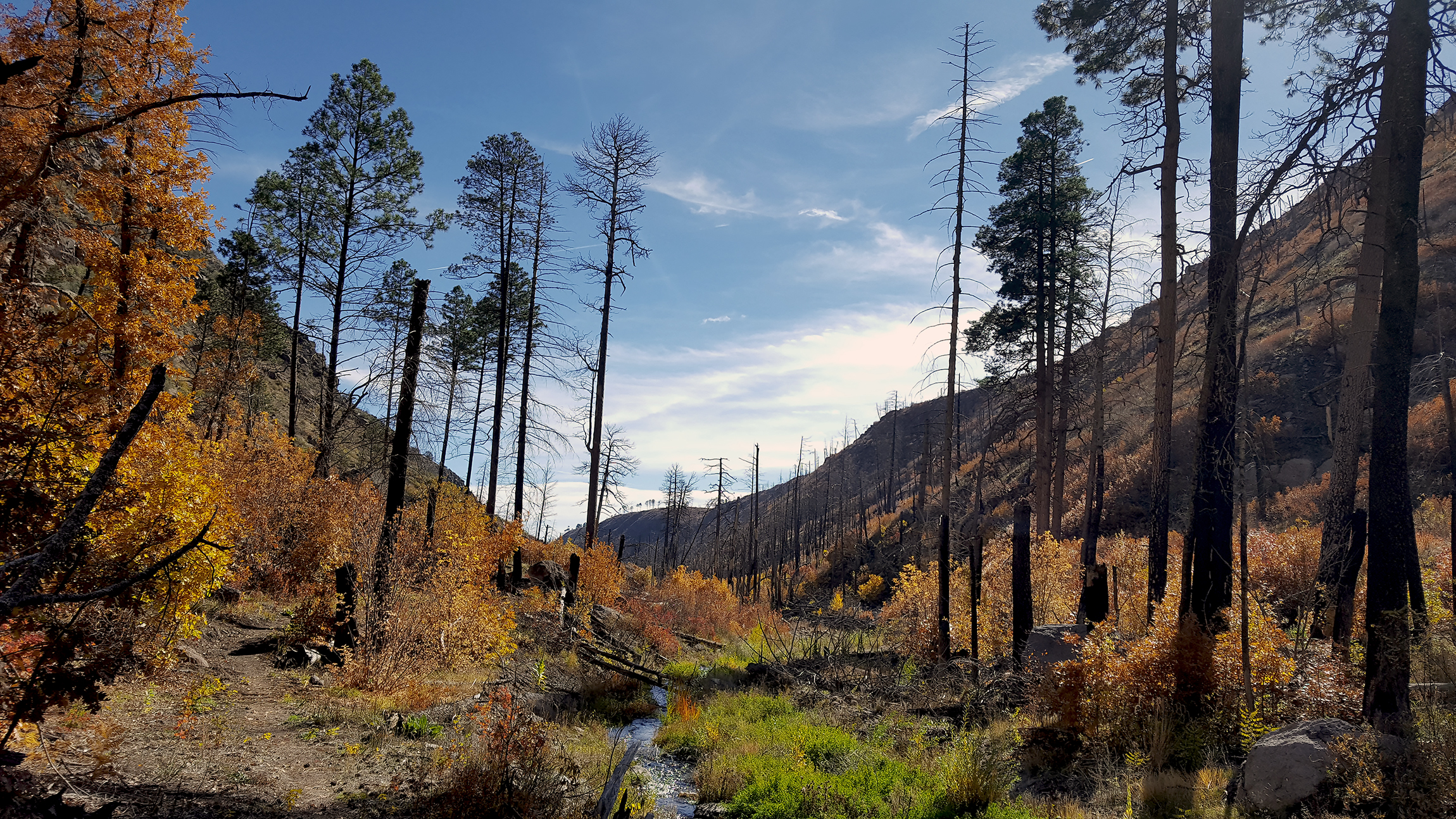
Long Trails
Description of Bandelier backcountry and links for longer trails

The Frijolito Loop Trail
Find out about hiking the Frijolito Loop trail at Bandelier National Monument.
More Things to Do
Additional activities and experiences from the National Park Service.
Tyuonyi Overlook Trail
Learn about the Tyuonyi Overlook Trail, including roundtrip mileage and where to start the hike.
Short Trails
Explore Bandelier's scenery and cultural heritage on its many short hiking trails.
Explore the Yapashi Pueblo
Description of the Yapashi Pueblo and details about the hike.
Hike the Main Pueblo Loop Trail
Summary, things to see, and maps of the famous Pueblo Loop Trail in Bandelier National Monument.
Hiking in Bandelier
Hiking in Bandelier? Find trail recommendations, download maps, and explore the sites in Bandelier National Monument.
Alamo Boundary Trail
Learn more about the Alamo Boundary Trail, including roundtrip mileage and where to start the hike.
Cerro Grande Trail
Trail description, including roundtrip mileage and what to expect along the way.
Cross-Country Ski the Blue & Orange Trails
Cross-country skiing and other winter recreational activities are available at Bandelier National Monument.
Hike the Frey Trail
Learn about the Frey trail, including roundtrip mileage, time, and what you will see.
Hike the Frijoles Canyon & Rim Trail
Get details about hiking the Frijoles Loop trail.
Become a Bandelier Junior Ranger
Information on our junior ranger program at Bandelier
Alcove House
Learn about the hike and ladder-climb at Bandelier's Alcove House.
Showing 18 of 19 NPS Things to Do records available for Bandelier National Monument.
Visitor Centers
Bandelier National Monument Visitor Center
The Bandelier National Monument Visitor Center is located in Frijoles Canyon.
Campgrounds
Juniper Family Campground
Three (3) loops, 52 site campground near the entrance to the monument. Two (2) sites for small groups up to 20 people. Abert's Squirrel Loop…
Ponderosa Group Campground
Ponderosa group campground is open year round, with water available May - October only. Site is available by reservation only through Recreation.gov.
Nearby National Park Service Sites
These sites are ordered by straight-line distance between NPS reference coordinates. This is useful for comparison, but it is not road mileage. Trails, parkways, rivers, and distributed units may extend far from their reference point.


Nearby Cities for Trip Planning
These cities are ordered by straight-line distance from the NPS reference coordinate. They are comparison starting points, not official park gateways or road-distance estimates. Trails and other distributed units may extend far beyond this reference point.
🗺️ Guided Tours & Experiences
Discover Bandelier National Monument with expert-led tours
We earn a commission if you make a purchase, at no additional cost to you.
🏨 Search Lodging for Bandelier National Monument
Review lodging results matching this park or site name
We earn a commission if you make a purchase, at no additional cost to you.